Approach and facilities
From Route 19, head south on Route 16 through Fayetteville, then follow the Gateway, Gatewood and Cunard Access Road signs to the river. NPS lists auto parking and a vault/composting toilet at the adjacent trailhead.
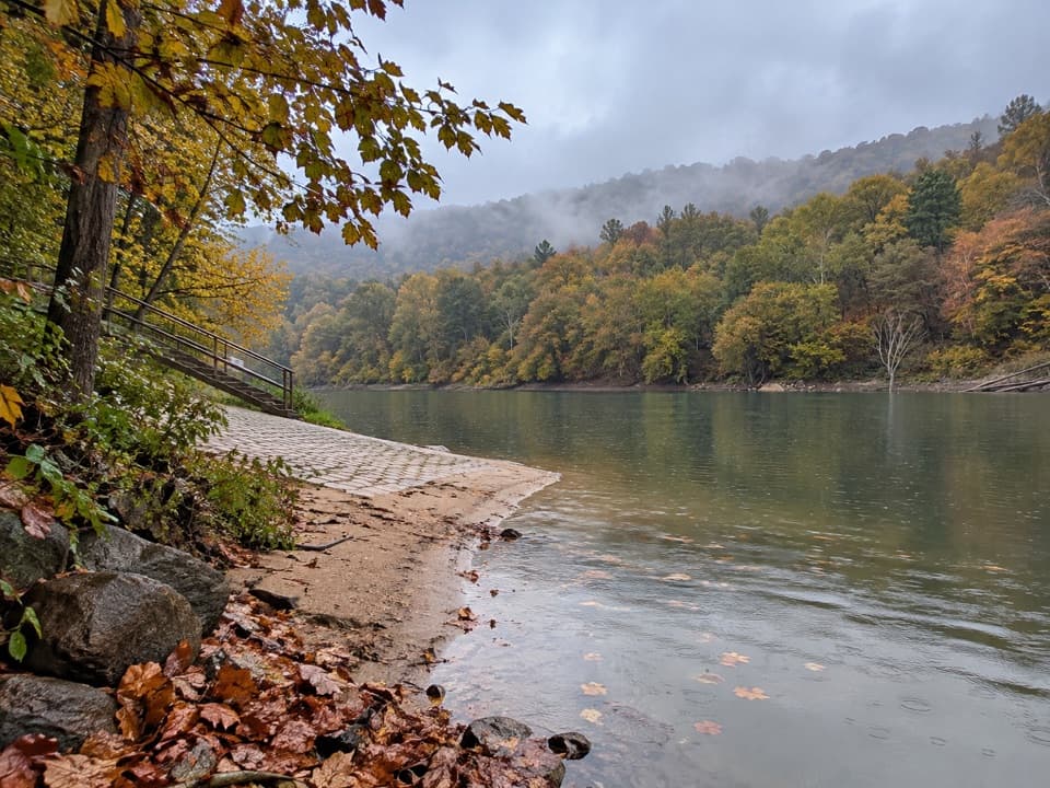
Sight · New River Gorge National Park
A river put-in beside a trail through former mining towns.
Overview
Map
Plan your stop

The highest, rockiest slopes around here are a summer buffet for grizzly bears.
New River Gorge Tour Guide
Parkwolf is a GPS audio tour guide for New River Gorge National Park. As you drive, it chimes in with what’s ahead: hidden gems, upcoming stops, history, geology, and wildlife, right through your car’s speakers.
See the New River Gorge audio tourRecorded for this place
Cunard River Access and Brooklyn“You're approaching Cunard River Access, a working launch for rafting trips and private paddlers on the Lower New River. Stop if you want to fish, get onto the water, or explore the nearby coal-town remains.”
Plays as you drive up to Cunard River Access in the Parkwolf New River Gorge Tour Guide.
More stories near here in the app
“Fantastic app with many points of information… It’s great to just turn on while you’re driving and it gives you an audio tour of the national Park. We love it!!!!”


Guide
Cunard River Access is a public put-in on the Lower New River, used by commercial rafting trips and private paddlers. Come to get onto the water, fish, or start the Southside Trail; this is a working river access rather than a purpose-built overlook.
Downstream, the Lower Gorge has rapids from Class III to V, with powerful currents and hydraulics. That is the river's general character, not a report of conditions on the day you visit.
The Southside Trail leaves from this shared access and follows the river on an abandoned railroad for seven miles one way, passing the former communities of Rush Run, Red Ash and Brooklyn. The first mile from Cunard is open to motor vehicles, so that stretch is not hiking-only.
Wildlife
 18 sightingsBlack BearMost seen around 7 PMSighting map
 126 sightingsWhite-tailed DeerMost seen around 6 AMSighting map
 25 sightingsPileated WoodpeckerMost seen around 8 AMSighting map
 15 sightingsBarred OwlMost seen around 7 PMSighting map
 14 sightingsWild TurkeyMost seen around 6 AMSighting map
 58 sightingsCopperheadMost seen around 7 PMSighting map
Sighting maps show where each species has been reported across New River Gorge. Wildlife moves, so no sighting is guaranteed.
Keep exploring
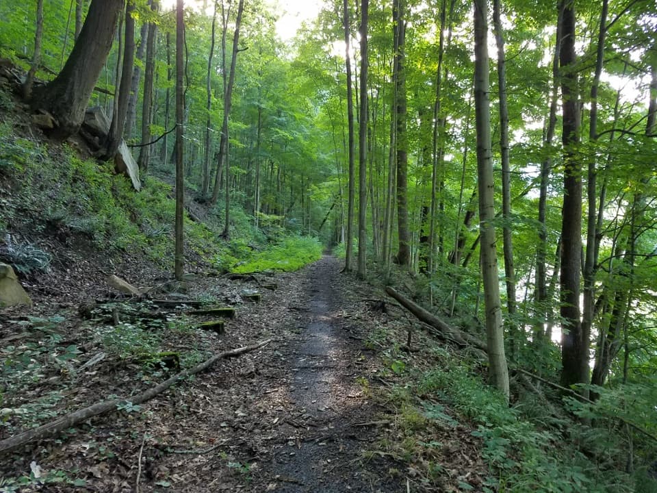 ModerateSouthside Trail14 mi · 5.5 hr · At the trailheadA long river rail grade past abandoned coal towns
 ModerateBrooklyn Mine Trail5.4 mi · 3.3 hr · 0.6 mi awayA shaded old road leads to the ruins of a coal mine.
 ModerateBeauty Mountain Trail1.1 mi · 45 min · 3.2 mi awayA short ridge walk opens onto wide views over the New River.
 ModerateNuttallburg Loop2.5 mi · 2 hr · 3.3 mi awayA short coal-town loop past coke ovens and a towering tipple.
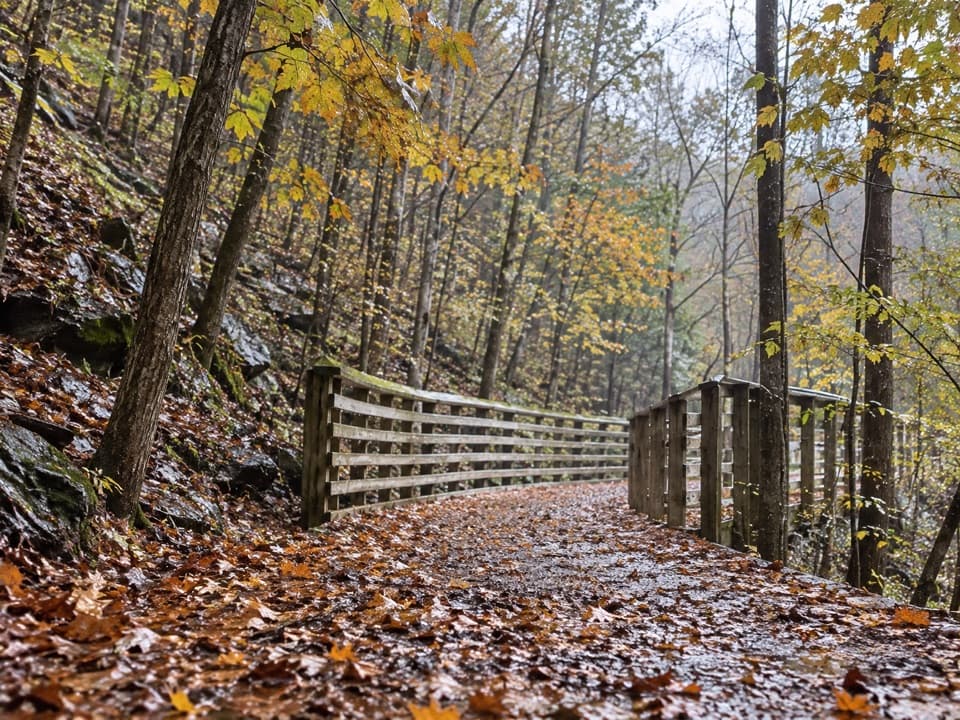 EasyKeeneys Creek Rail Trail3.3 mi · 1.5 hr · 3.3 mi awayA gentle rail grade through mining country, creek views, and trestles.
 ModerateDalton Trail6.4 mi · 3.5 hr · 3.5 mi awayA rhododendron tunnel and a long, twisty ridge trail.
 EasyTipple Trail1.2 mi · 1 hr · 3.7 mi awayA short walk past the conveyor to the tipple and coke ovens.
 EasyAdena Trail3.4 mi · 2.3 hr · 3.7 mi awayRolling forest tread makes a gentle loop for walkers and newer riders.
 Campground · 1.1 mi awayBrooklyn CampgroundFive tent sites beside the New River and Southside Trail.
 Sight · 1.1 mi awayBrooklyn Mining Complex & Community RuinsA 1890s coal camp left a ruined tipple and coke ovens.
 Sight · 2.2 mi awayRed Ash Island CemeteryA wooded island cemetery ties miners’ losses to everyday community life.
 Sight · 2.9 mi awayCamp Washington-CarverA pioneering Black 4-H camp with a second life in the arts.
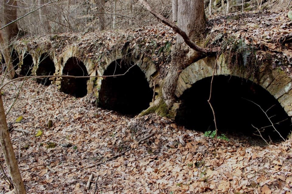 Sight · 2.9 mi awayRed Ash Community and Mining RuinsSee an unusual bread-loaf coke-oven design on the Southside Trail.
 Sight · 3.4 mi awayRush Run Community RuinsA vanished coal town, with beehive ovens still by the trail.Sight · 3.7 mi awayNuttallburg Historic SiteA preserved coal town with a rust-red tipple and a tricky drive.
 Sight · 4.1 mi awayKaymoor One MineA coal mine and coke ovens linked by 821 steps.
Parkwolf’s New River Gorge ranking

The audio tour guide for the drive, plus offline maps, trails, and wildlife heatmaps for when the signal drops.