Parking
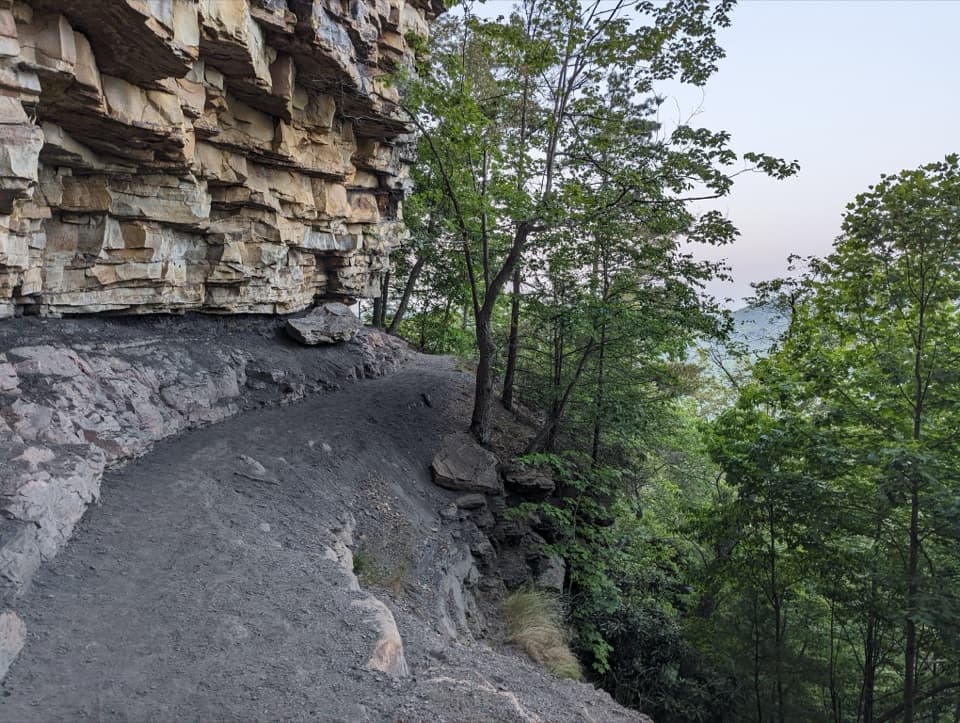
From Winona, follow Keeneys Creek Road (CR 85/2) about 4.1 miles to the main Nuttallburg parking area and the rail-trail start. A restroom is listed at the main lot; there is no drinking water at the trailhead.

#9 of 49 trails in New River Gorge
New River Gorge National Park, WV
A short coal-town loop past coke ovens and a towering tipple.
Overview
Nuttallburg Loop is a 2.5-mile lollipop through the lower part of a former coal town, linking the Keeneys Creek rail path with the Town Loop Connector, Tipple Trail, Seldom Seen, and Town Loop. It is a good choice if you like industrial history and the evidence of a whole working community: the walk takes you past a big coal tipple and conveyor, coke ovens, and the scattered foundations of homes and public buildings. It is a short outing rather than a remote backcountry hike. Allow about two hours if you stop to read the exhibits and look around; the mapped loop gains about 230 feet.
 Parkwolf’s verdictIs this the hike for you?
Map & elevation
Plan your hike

The highest, rockiest slopes around here are a summer buffet for grizzly bears.
New River Gorge Tour Guide
Parkwolf is a GPS audio tour guide for New River Gorge National Park. As you drive, it chimes in with what’s ahead: hidden gems, upcoming stops, history, geology, and wildlife, right through your car’s speakers.
See the New River Gorge audio tourRecorded for this trailhead
Keeneys Creek and the Town Loop“You're coming up on the Keeneys Creek trailhead, where I'd choose the Nuttallburg Loop for a closer look at how the coal town was laid out.”
Plays as you drive up to this trailhead in the Parkwolf New River Gorge Tour Guide.
More stories near here in the app
“Fantastic app with many points of information… It’s great to just turn on while you’re driving and it gives you an audio tour of the national Park. We love it!!!!”


Trail guide
Start at the Keeneys Creek Rail Trail Parking Area and walk the lower rail alignment to the Town Loop Connector. The connector brings you west to Tipple Trail. Follow it to the Seldom Seen spur, walk out to the former settlement, and return to Tipple Trail. Continue to Town Loop, circle the residential area, then retrace the connector and lower rail path to the start. That 2.5-mile figure includes the Seldom Seen return and both shared access legs; it is not the full 3.3-mile Keeneys Creek Rail Trail.
The rail-trail section is broad and gently graded. The connected paths are short, but the route mixes easy sections with the moderate Town Loop, so think of it as an easy-to-moderate walk rather than a stroll around the tipple parking lot. This itinerary does not include the separate, steep Conveyor or Headhouse hikes. There is no official time estimate for this combined route, so treat two hours as a practical allowance, not a timed standard.
Nuttallburg began in 1870, and the Chesapeake and Ohio Railway’s arrival in 1873 helped the mine ship smokeless coal out of the gorge. The tall tipple sorted and loaded coal; the long conveyor carried it down the mountainside. Coke ovens and rail structures show how much industry sat in this tight hollow. The town was more than a mine: Town Loop passes the foundations of a church, school, and houses, while only occasional house foundations remain at Seldom Seen.
Henry Ford’s company leased the mines in the 1920s to supply coal for a planned steel operation. The plan ran into trouble over its railroad connection, and Ford sold his interests in 1928. Coal production ended in 1958. The machinery and town sites now make the route especially worthwhile for anyone curious about how a coal community was laid out, not just how the mine worked.
Interpretive exhibits help identify what stood along Town Loop, where vegetation can make the foundations easy to miss. At Seldom Seen, expect scattered traces rather than a row of standing houses. Stay on the established paths and don't walk, sit, or climb on historic walls; that damages fragile masonry. At the tipple, the rail line in front of the structure helps show its size in a photo, and the conveyor gives the complex its unmistakable hillside scale.
From Winona, follow Keeneys Creek Road (CR 85/2) about 4.1 miles to the main Nuttallburg parking area, where a restroom is listed. No drinking water is available at the trailhead. Dogs are allowed on the park’s trails on a physical leash no longer than six feet. The drive in is steep, winding, partly paved and partly gravel, and mostly one lane; the passing pull-offs are limited, so a driver may need to back to one to let another vehicle through. Large vehicles and trailers are a poor fit.
Wildlife
 18 sightingsBlack BearMost seen around 7 PMSighting map
 126 sightingsWhite-tailed DeerMost seen around 6 AMSighting map
 25 sightingsPileated WoodpeckerMost seen around 8 AMSighting map
 15 sightingsBarred OwlMost seen around 7 PMSighting map
 14 sightingsWild TurkeyMost seen around 6 AMSighting map
 58 sightingsCopperheadMost seen around 7 PMSighting map
Sighting maps show where each species has been reported across New River Gorge. Wildlife moves, so no sighting is guaranteed.
Keep exploring
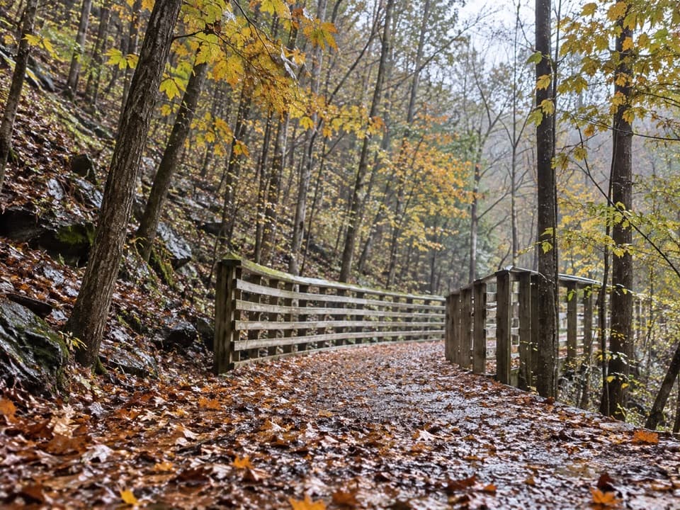 EasyKeeneys Creek Rail Trail3.3 mi · 1.5 hr · At the trailheadA gentle rail grade through mining country, creek views, and trestles.
 ModerateBeauty Mountain Trail1.1 mi · 45 min · 0.4 mi awayA short ridge walk opens onto wide views over the New River.
 EasyTipple Trail1.2 mi · 1 hr · 0.5 mi awayA short walk past the conveyor to the tipple and coke ovens.
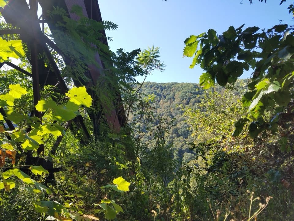 ChallengingConveyor Trail0.8 mi · 1.3 hr · 0.7 mi awayA short, steep climb under Nuttallburg's old coal conveyor.
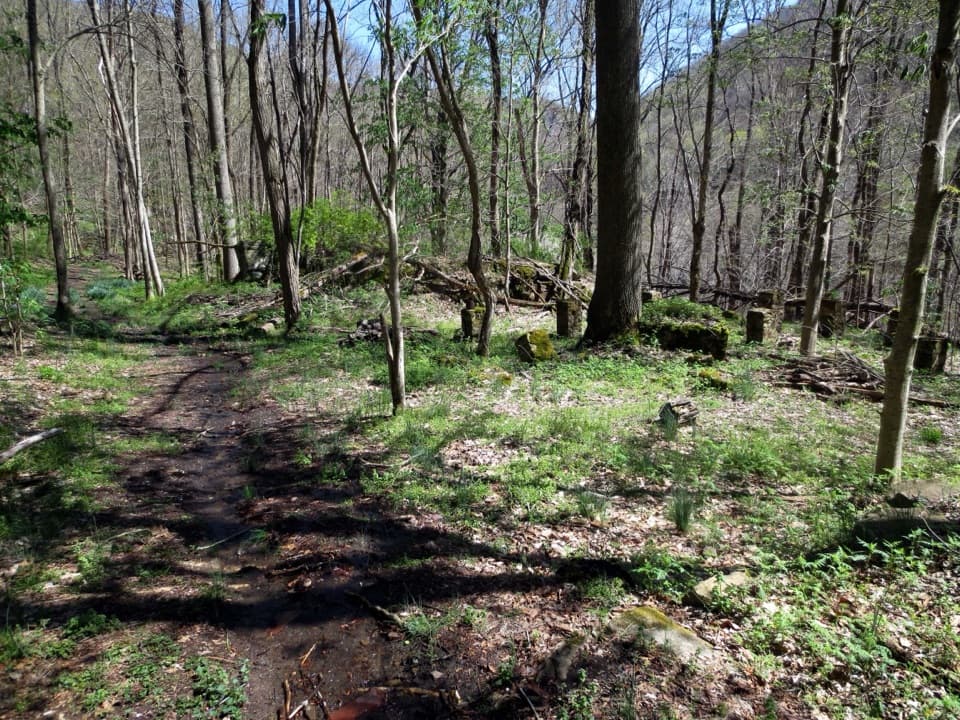 EasySeldom Seen Trail0.6 mi · 30 min · 0.8 mi awayA short wooded spur leads to Seldom Seen’s old foundations
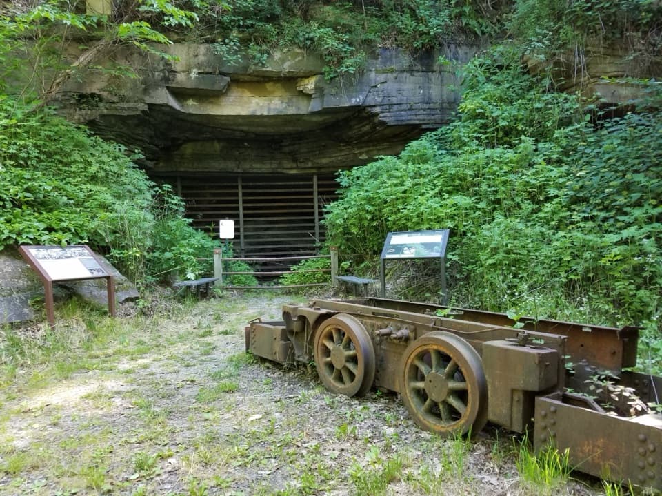 ModerateHeadhouse Trail1.4 mi · 1.5 hr · 0.8 mi awayA short, steep descent to a remarkably intact coal-mine complex.
 ModerateDalton Trail6.4 mi · 3.5 hr · 1.2 mi awayA rhododendron tunnel and a long, twisty ridge trail.
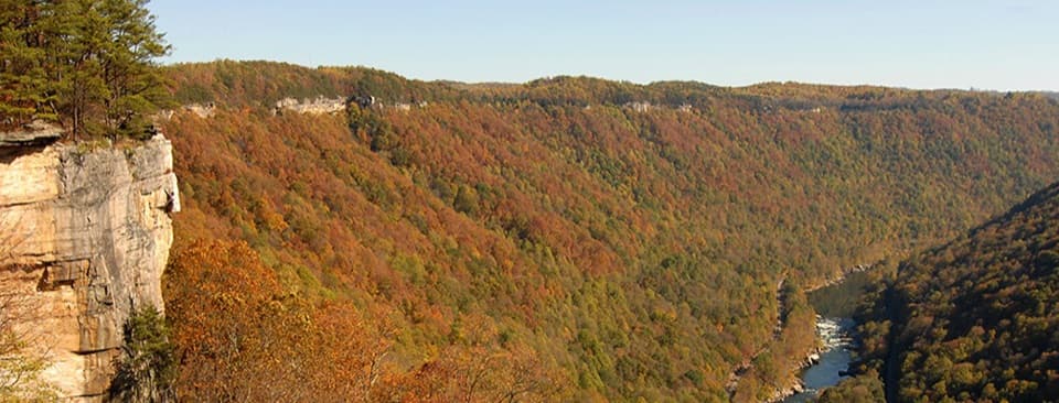 ModerateEndless Wall Trail2.4 mi · 1.8 hr · 1.7 mi awayWalk the New River rim to Diamond Point's high gorge view.Sight · 0.5 mi awayNuttallburg Historic SiteA preserved coal town with a rust-red tipple and a tricky drive.
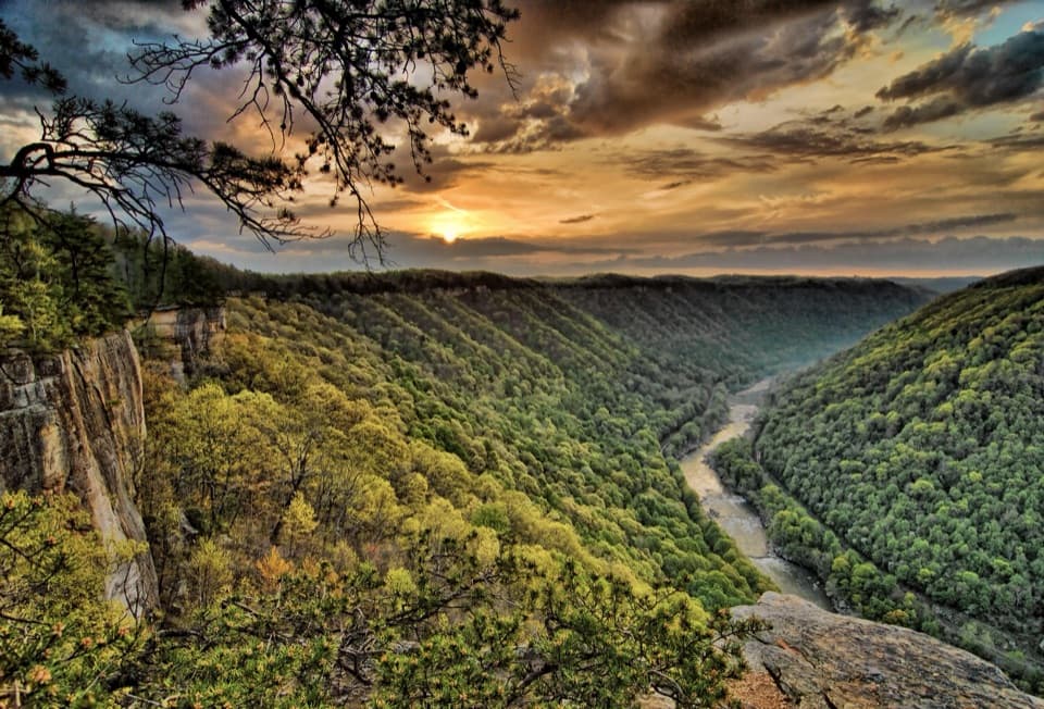 Sight · 1.5 mi awayDiamond Point OverlookA cliff-edge view down nearly 1,000 feet to the New River.
 Sight · 1.8 mi awayKaymoor One MineA coal mine and coke ovens linked by 821 steps.
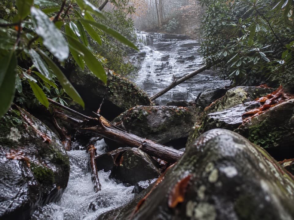 Sight · 2.2 mi awayButcher Branch FallsA close-up waterfall reached by a short, steep spur.
 Sight · 2.6 mi awayLong Point OverlookA rough last pitch opens onto the park’s signature bridge view.
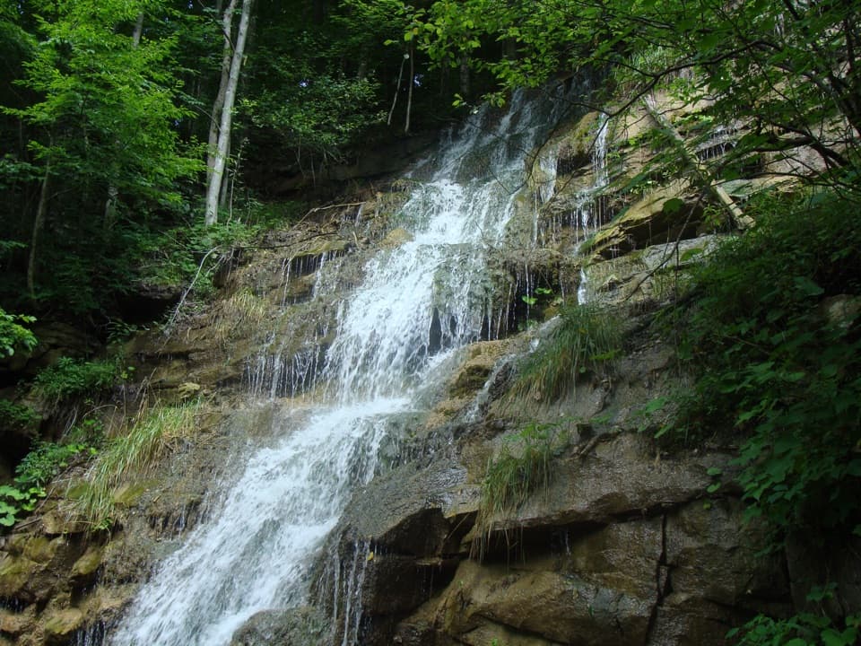 Sight · 2.7 mi awayKaymoor Mine FallsA mossy cascade where mine drainage meets Wolf Creek.
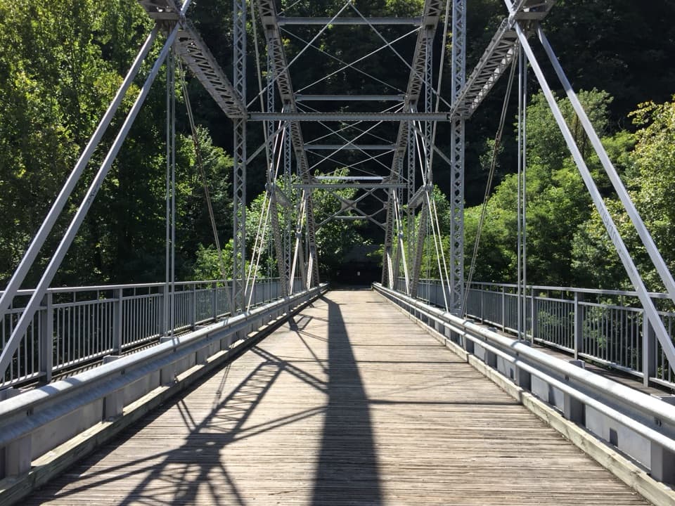 Sight · 2.7 mi awayTunney Hunsaker BridgeA historic lower crossing on Fayette Station Road's one-way gorge drive.
 Sight · 2.9 mi awayBridge WalkA harnessed walk beneath the highway, 850 feet above the river.
Parkwolf’s New River Gorge ranking
The audio tour guide for the drive, plus offline maps, trails, and wildlife heatmaps for when the signal drops.