Parking
Start at Fern Creek Trailhead on Lansing–Edmond Road, about 1.3 miles from US 19. The lot is small and often fills; roadside parking can lead to towing. Nuttall Trailhead is the opposite-end access and a possible alternative.
#1 of 49 trails in New River Gorge
New River Gorge National Park, WV
Walk the New River rim to Diamond Point's high gorge view.
Overview
Map & elevation
Plan your hike

The highest, rockiest slopes around here are a summer buffet for grizzly bears.
New River Gorge Tour Guide
Parkwolf is a GPS audio tour guide for New River Gorge National Park. As you drive, it chimes in with what’s ahead: hidden gems, upcoming stops, history, geology, and wildlife, right through your car’s speakers.
See the New River Gorge audio tourRecorded for this trailhead
Endless Wall and Diamond Point“You're nearing Fern Creek Trailhead for the Endless Wall Trail. I'd choose the two-mile round trip to Diamond Point, where sandstone ledges overlook the New River nearly a thousand feet below.”
Plays as you drive up to this trailhead in the Parkwolf New River Gorge Tour Guide.
More stories near here in the app
“Fantastic app with many points of information… It’s great to just turn on while you’re driving and it gives you an audio tour of the national Park. We love it!!!!”


Trail guide
Endless Wall is a 2.4-mile, one-way point-to-point trail along the wooded sandstone rim between Fern Creek and Nuttall trailheads. The most popular outing turns around at Diamond Point for about 2 miles round trip. If you walk between both trailheads and return to Fern Creek on foot, add the park-listed half-mile road walk for about 2.9 miles total. Allow roughly 1.5 to 2 hours for the full walk with a view stop; the Diamond Point return is shorter. Use two cars for the through-hike or turn back at Diamond Point to keep it simple.
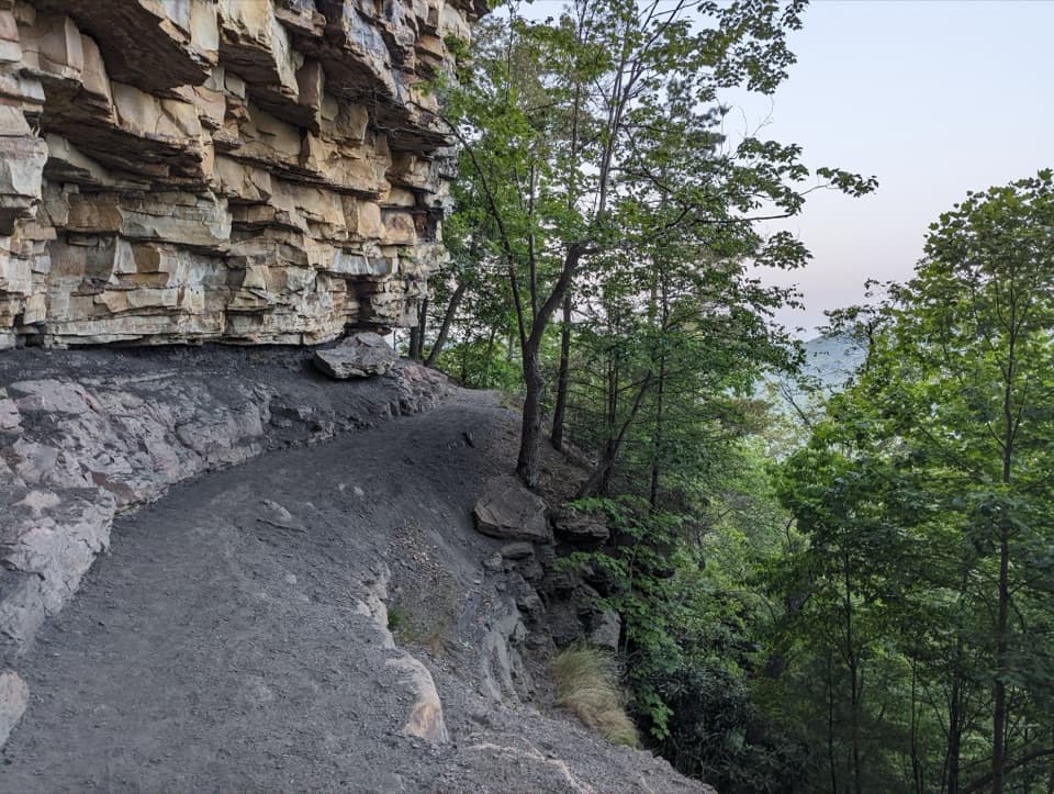
Starting at Fern Creek, the trail begins under eastern hemlocks and rhododendron, then crosses Fern Creek on a narrow wooden footbridge. The walk is fairly gentle through the woods before the tread gets rockier near the overlooks. Roots and uneven stone need a little attention, and mud can linger after rain. Small gaps in the trees begin to show the gorge before the trail reaches its best-known view.
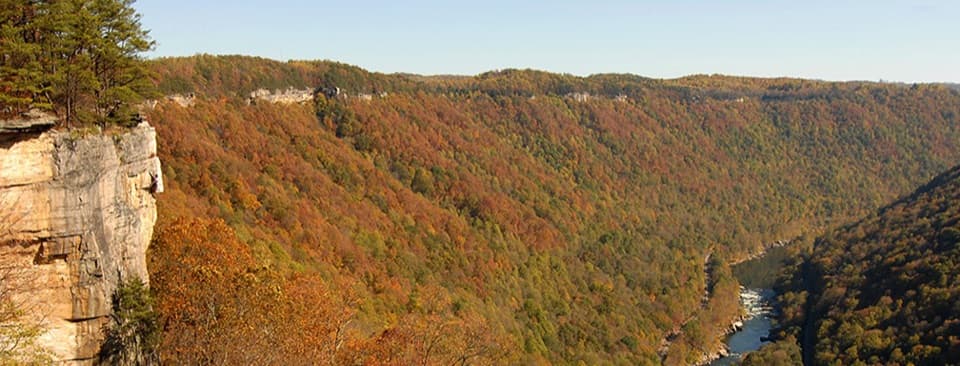
A short signed spur leads to Diamond Point, the natural turnaround for the short hike. From the sandstone edge, the New River lies nearly 1,000 feet below, with the gorge's forested slopes and long bends spread out beyond it. Smaller openings along the rim make worthwhile pauses too. For a photo, include a piece of the cliff or a tree in the foreground; a frame of distant hills alone hides how high the overlook sits. The drops are exposed, so keep children and leashed dogs well back from the edge.
The full route follows the rim past Diamond Point to Nuttall Trailhead. It is a through-hike, not a loop; a one-car return to Fern Creek means walking about half a mile along Lansing–Edmond Road. Metal ladders that descend through the rocks are climber-access spurs, not part of the hiking route. Stay on the main tread if you are walking between trailheads.
The route's name comes from the long bands of sandstone that form the gorge rim. This rock creates the sheer faces and ledges visible from Diamond Point, while the river below has cut a deep, steep-sided valley. The view is not confined to one overlook: several rim openings let you see the cliffs and river from different angles.
The surrounding landscape is tied to Nuttallburg, one of the New River's historic coal towns. John Nuttall began buying land and building mine infrastructure in 1870; the Chesapeake and Ohio Railway reached the gorge in 1873, and the town shipped smokeless coal. Henry Ford leased the mines in the 1920s, and production ended in 1958. The trail is a rim walk, not a route through the mine buildings; visit the historic site separately if you want to explore that history on the ground.
Much of the path stays beneath hardwoods, hemlocks and rhododendron, with the gorge appearing at breaks in the forest. The varied canopy makes the walk feel enclosed between overlooks, then suddenly opens at the cliff. Fall color can brighten the slopes across the river, while winter views vary with foliage and conditions.
Fern Creek Trailhead is on Lansing–Edmond Road, about 1.3 miles from US 19. Its lot is small and often fills; do not park along the road, where cars may be towed. Nuttall Trailhead is at the opposite end and offers another access point. A vault toilet is listed, but there is no drinking water at the trailheads and no food service identified on the route. Dogs are allowed on park trails on a physical leash no longer than six feet.
Wildlife
 18 sightingsBlack BearMost seen around 7 PMSighting map
 126 sightingsWhite-tailed DeerMost seen around 6 AMSighting map
 25 sightingsPileated WoodpeckerMost seen around 8 AMSighting map
 15 sightingsBarred OwlMost seen around 7 PMSighting map
 14 sightingsWild TurkeyMost seen around 6 AMSighting map
 58 sightingsCopperheadMost seen around 7 PMSighting map
Sighting maps show where each species has been reported across New River Gorge. Wildlife moves, so no sighting is guaranteed.
Keep exploring
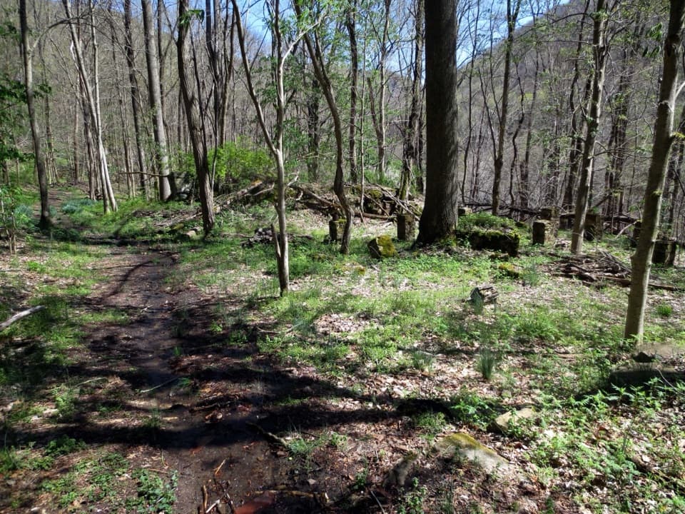 EasySeldom Seen Trail0.6 mi · 30 min · 1 mi awayA short wooded spur leads to Seldom Seen’s old foundations
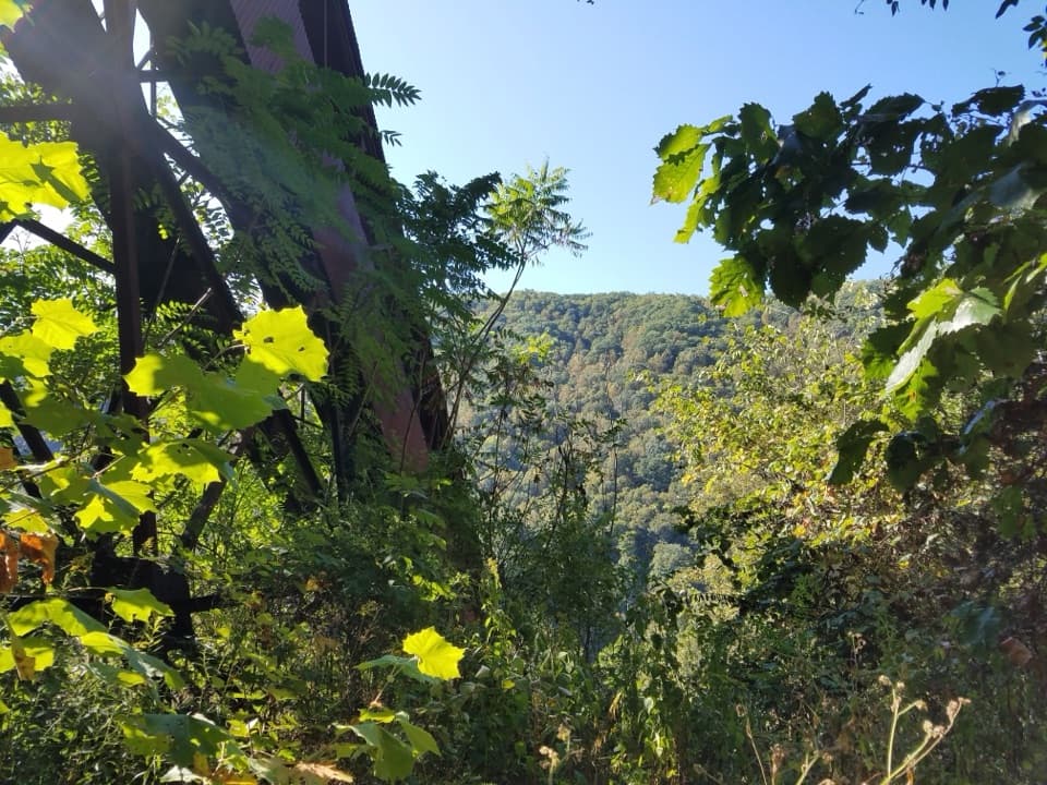 ChallengingConveyor Trail0.8 mi · 1.3 hr · 1.1 mi awayA short, steep climb under Nuttallburg's old coal conveyor.
 ModerateCanyon Rim Boardwalk0.3 mi · 24 min · 1.1 mi awayA quick bridge view, with 178 strenuous steps below.
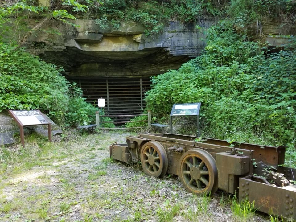 ModerateHeadhouse Trail1.4 mi · 1.5 hr · 1.3 mi awayA short, steep descent to a remarkably intact coal-mine complex.
 EasyTipple Trail1.2 mi · 1 hr · 1.3 mi awayA short walk past the conveyor to the tipple and coke ovens.
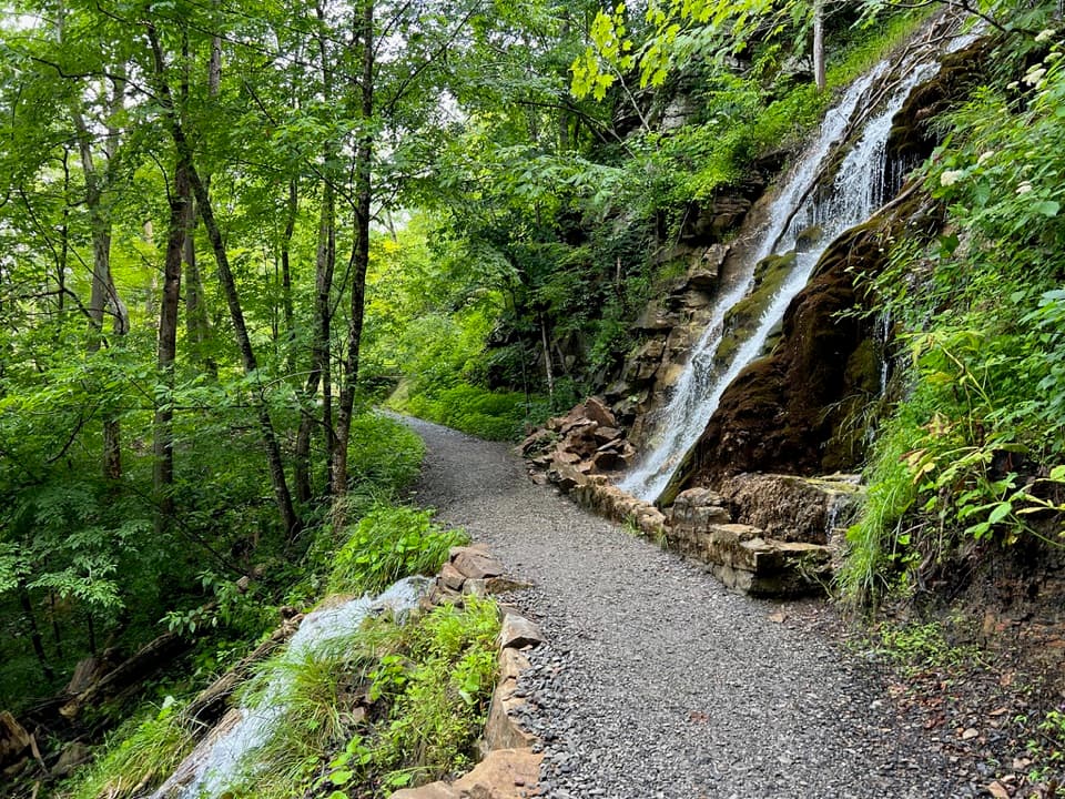 ModerateKaymoor Trail8.6 mi · 4.5 hr · 1.3 mi awayAn 8.6-mile one-way gorge route past Kaymoor's historic mine.
 ChallengingFayetteville Trail4 mi · 3 hr · 1.3 mi awayA creek crossing links Fayetteville’s trails to Kaymoor.
 ModerateButcher Branch Trail0.8 mi · 30 min · 1.3 mi awayA wooded connector to Long Point, with a rocky falls spur.
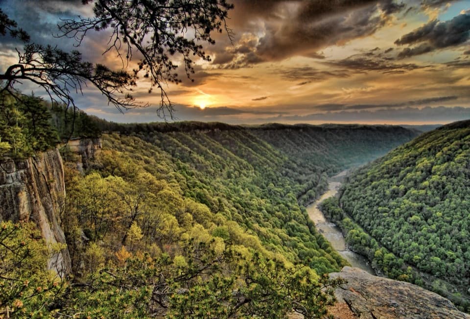 Sight · 0.7 mi awayDiamond Point OverlookA cliff-edge view down nearly 1,000 feet to the New River.
 Sight · 1.1 mi awayBridge WalkA harnessed walk beneath the highway, 850 feet above the river.
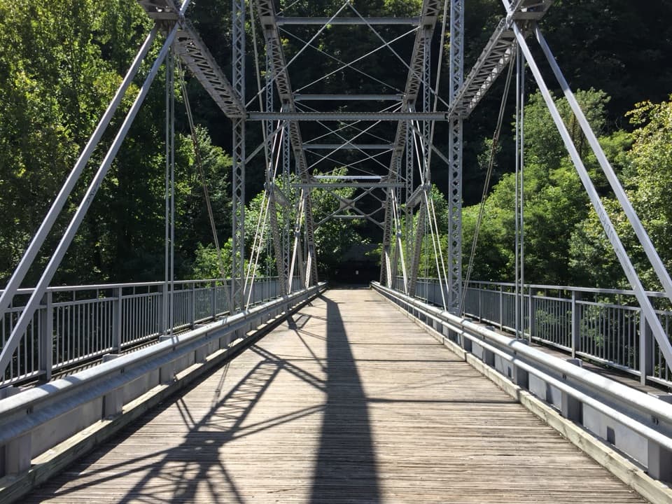 Sight · 1.1 mi awayTunney Hunsaker BridgeA historic lower crossing on Fayette Station Road's one-way gorge drive.
 Sight · 1.1 mi awayLong Point OverlookA rough last pitch opens onto the park’s signature bridge view.
 Visitor center · 1.1 mi awayCanyon Rim Visitor CenterPlan your park visit, then step out to the bridge view.
 Sight · 1.2 mi awayKaymoor One MineA coal mine and coke ovens linked by 821 steps.
 Sight · 1.2 mi awayCanyon Rim Bridge OverlookTwo decks put the full bridge arch above the river gorge.
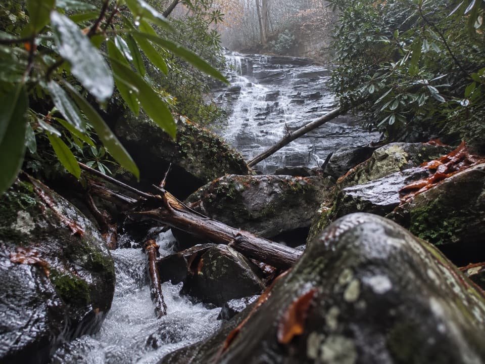 Sight · 1.3 mi awayButcher Branch FallsA close-up waterfall reached by a short, steep spur.
Parkwolf’s New River Gorge ranking

The audio tour guide for the drive, plus offline maps, trails, and wildlife heatmaps for when the signal drops.