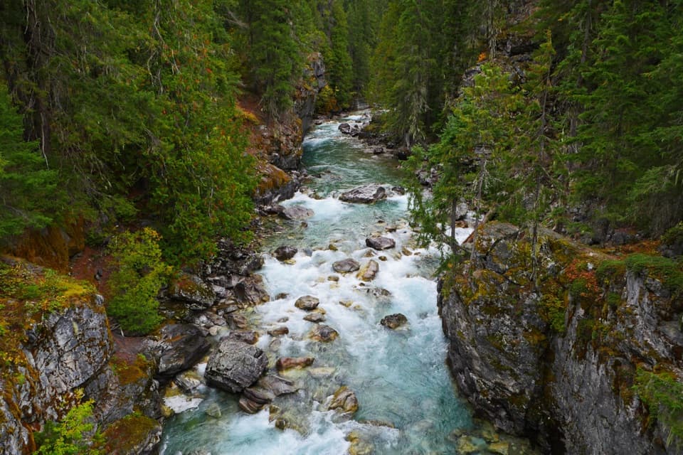
High Bridge in North Cascades National Park

Sight · North Cascades National Park

High Bridge

A remote Stehekin River gorge view at a historic ranger station.

Photo: National Park Service
Type
Sight
Nearest trail
Right here
Audio stories
3 nearby
  • Scenic viewpoint
  • Picnic tables
  • Exhibit
  • Restrooms

Hear the audio tour

High Bridge: River Gorge and Ranger Station

Overview

About High Bridge

Why stop

  • A historic CCC-built ranger station beside a PCT crossing.

Heads up

  • Reaching this remote stop takes planning around Stehekin access.

Map

Where it is

Loading the North Cascades map
Full map
SightHigh Bridge48.38028, -120.83850
Keep this map with you offline in the Parkwolf app

Plan your stop

Before you go

7 active North Cascades alerts

  • ClosureWildfire closures and Stehekin fire advisoryMentions this placeWildfire-related closures remain in effect; stay out of all closed trails, camps, and areas.Official details
  • ClosureStehekin Valley Road closed after landslidesMentions this placeStehekin Valley Road is closed because landslides damaged it; additional precipitation and flood-related hazards persist.Official details

See all 7 alerts
A park ranger sits on a dash-mounted phone, talking, as Parkwolf’s Tour Guide plays “Army Cutworm Moths: A Grizzly Bear Buffet” on Grand Loop Road below Dunraven Pass in Yellowstone
Parkwolf Tour GuideThe highest, rockiest slopes around here are a summer buffet for grizzly bears.

North Cascades Tour Guide

Your drive to High Bridge, narrated.

Parkwolf is a GPS audio tour guide for North Cascades National Park. As you drive, it chimes in with what’s ahead: hidden gems, upcoming stops, history, geology, and wildlife, right through your car’s speakers.

See the North Cascades audio tour

Recorded for this place

High Bridge: River Gorge and Ranger Station
0:00 / 0:35
“High Bridge is coming up, with the Stehekin River rushing through a rocky gorge below. Stop for the river view even if you’re not heading out on a hike.”

Plays as you drive up to High Bridge in the Parkwolf North Cascades Tour Guide.

More stories near here in the app

  • A Pine's Thick Skin
  • The Prospector Behind Howard Lake
  • Stehekin Valley Ranch and the Cookhouse
  • The Landscape Under Lake Chelan
  • 83 audio storiesacross North Cascades’s roads, triggered by GPS as you drive
  • Wildlife heatmapsfor Mountain Goat, Black Bear, Mule Deer, and 10 more
  • Works offlinemaps, 88 trails, 76 places, and audio download before you lose signal
  • CarPlay readysimple controls built for the drive
★★★★★
“Fantastic app with many points of information… It’s great to just turn on while you’re driving and it gives you an audio tour of the national Park. We love it!!!!”
JMJamesApp Store review
Download Parkwolf on the App StoreGet Parkwolf on Google Play

4.7 from 8,600+ ratings

Guide

More about High Bridge

A river stop deep in StehekinHigh Bridge is a historic ranger-station area and bridge over the Stehekin River, 11 miles up…

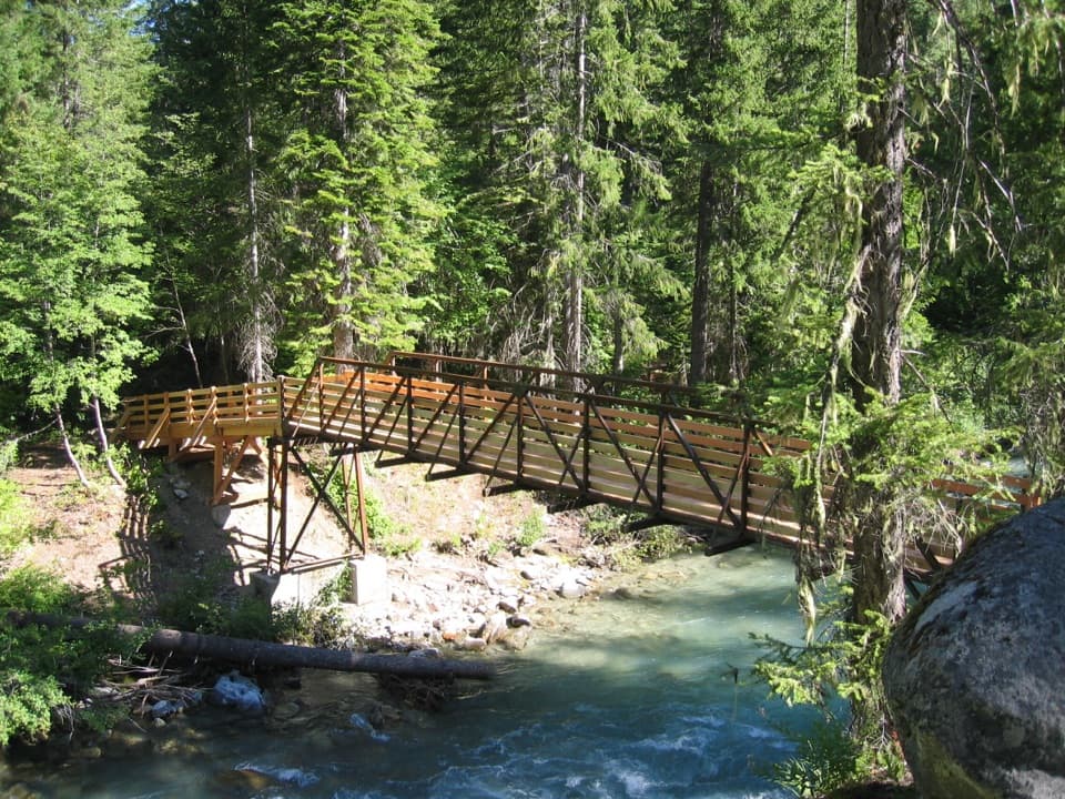
High Bridge is a historic ranger-station area and bridge over the Stehekin River, 11 miles up the valley from Stehekin Landing. It is known for the rushing river gorge below the bridge and serves as the public shuttle's turnaround during shuttle season. Stop for the view, or use it as a starting point for longer walks.

Plan for the remote approachStehekin has no road connection to the rest of Washington; people reach it by foot, boat or…

Stehekin has no road connection to the rest of Washington; people reach it by foot, boat or plane, then travel through the valley on foot, by bike or by shuttle. High Bridge is 11 miles from the landing, so build the visit around the seasonal shuttle connection or allow time for the long valley approach. There is a picnic table, interpretive information and a vault or composting toilet. Potable water is not documented at the stop, so plan supplies before heading up-valley.

A trail junction as well as a turnaroundThe Pacific Crest Trail crosses High Bridge.

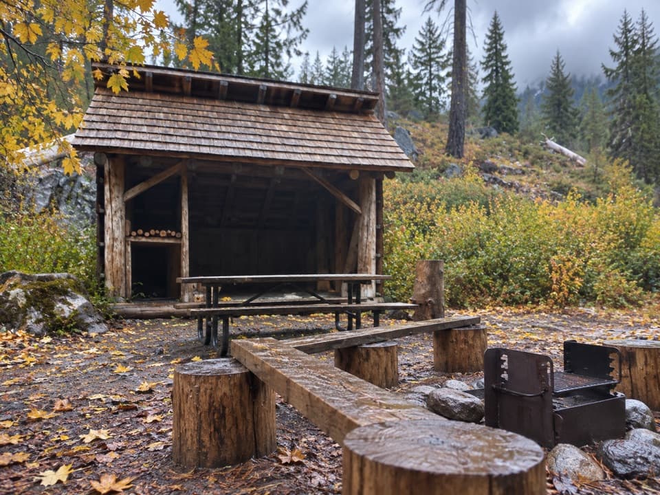
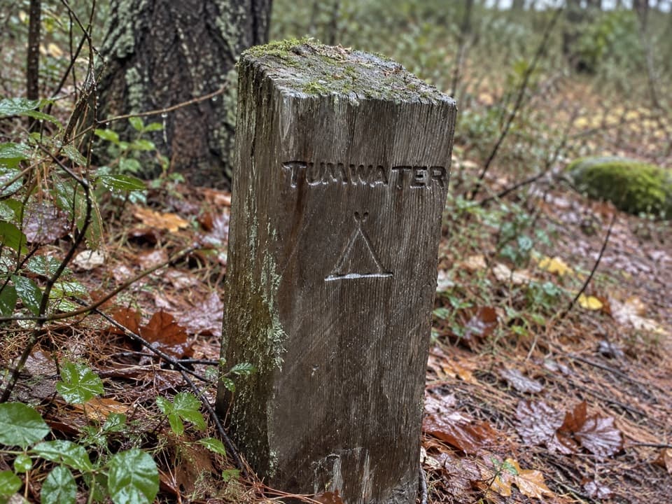
The Pacific Crest Trail crosses High Bridge. Its southbound route toward Stevens Pass is about a quarter-mile up the road; the northbound route toward Rainy Pass starts just behind the horse corral. The valley road continues about two miles to the High Bridge and Tumwater backcountry camps, where overnight stays require a permit.

The ranger station and corralThe Forest Service built High Bridge as a base for fire and trail crews working in the high…

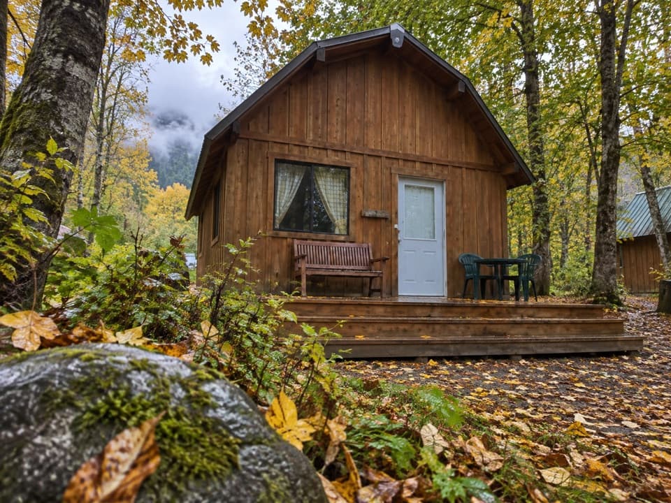
The Forest Service built High Bridge as a base for fire and trail crews working in the high country. The Civilian Conservation Corps constructed the buildings and horse corral in 1933–34; the historic station is listed on the National Register. People have used the area for nearly 10,000 years. The main house is a summer residence for park staff, so keep to visitor areas and respect their privacy.

Look downriverFrom the bridge, the Stehekin River runs through a rocky channel beneath forested banks.

From the bridge, the Stehekin River runs through a rocky channel beneath forested banks. The boulders in the channel give the gorge view foreground and scale.

Wildlife

Wildlife in North Cascades

All North Cascades wildlife maps

Sighting maps show where each species has been reported across North Cascades. Wildlife moves, so no sighting is guaranteed.

Parkwolf’s North Cascades ranking

Top sights in North Cascades

All 76 places
  1. 1Diablo Lake OverlookSight
  2. 2Washington Pass OverlookSight
  3. 3Rainbow FallsSight
  4. 4Gorge Creek FallsSight
  5. 5Ross Lake OverlookSight
  6. 6Ladder Creek FallsSight

Take Parkwolf to North Cascades.

The audio tour guide for the drive, plus offline maps, trails, and wildlife heatmaps for when the signal drops.

4.7 from 8,600+ ratings

Download Parkwolf on the App StoreGet Parkwolf on Google Play