Bridge Creek Camp in North Cascades National Park

Campground · North Cascades National Park

Bridge Creek Camp

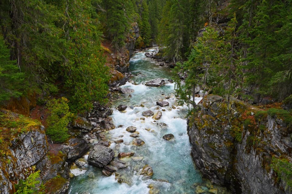
A river confluence camp for the trails beyond Stehekin.

Photo: CC0 1.0
Type
Campground
Nearest trail
Right here
  • Restrooms
  • Picnic tables
Parkwolf audio tour83 stories across North Cascades’s roads

Overview

About Bridge Creek Camp

Why stop

  • A shaded river camp with several backcountry routes nearby.

Heads up

  • Even the Road’s End cutoff approach is a 3.2-mile walk each way.

Map

Where it is

Loading the North Cascades map
Full map
CampgroundBridge Creek Camp48.43035, -120.86702
Keep this map with you offline in the Parkwolf app

Plan your stop

Before you go

7 active North Cascades alerts

  • ClosureWildfire closures and Stehekin fire advisoryWildfire-related closures remain in effect; stay out of all closed trails, camps, and areas.Official details
  • CautionCampfires banned across the park complexCampfires and other ash-producing fires are banned throughout the North Cascades National Park Service Complex.Official details

See all 7 alerts
A park ranger sits on a dash-mounted phone, talking, as Parkwolf’s Tour Guide plays “Army Cutworm Moths: A Grizzly Bear Buffet” on Grand Loop Road below Dunraven Pass in Yellowstone
Parkwolf Tour GuideThe highest, rockiest slopes around here are a summer buffet for grizzly bears.

North Cascades Tour Guide

Your drive to Bridge Creek Camp, narrated.

Parkwolf is a GPS audio tour guide for North Cascades National Park. As you drive, it chimes in with what’s ahead: hidden gems, upcoming stops, history, geology, and wildlife, right through your car’s speakers.

See the North Cascades audio tour

More stories near here in the app

  • The Prospector Behind Howard Lake
  • High Bridge: River Gorge and Ranger Station
  • A Pine's Thick Skin
  • Stehekin Valley Ranch and the Cookhouse
  • 83 audio storiesacross North Cascades’s roads, triggered by GPS as you drive
  • Wildlife heatmapsfor Mountain Goat, Black Bear, Mule Deer, and 10 more
  • Works offlinemaps, 88 trails, 76 places, and audio download before you lose signal
  • CarPlay readysimple controls built for the drive
★★★★★
“Fantastic app with many points of information… It’s great to just turn on while you’re driving and it gives you an audio tour of the national Park. We love it!!!!”
JMJamesApp Store review
Download Parkwolf on the App StoreGet Parkwolf on Google Play

4.7 from 8,600+ ratings

Guide

More about Bridge Creek Camp

A remote camp, not a roadside stopBridge Creek Camp is a backcountry campground in the upper Stehekin Valley, at the northern end…

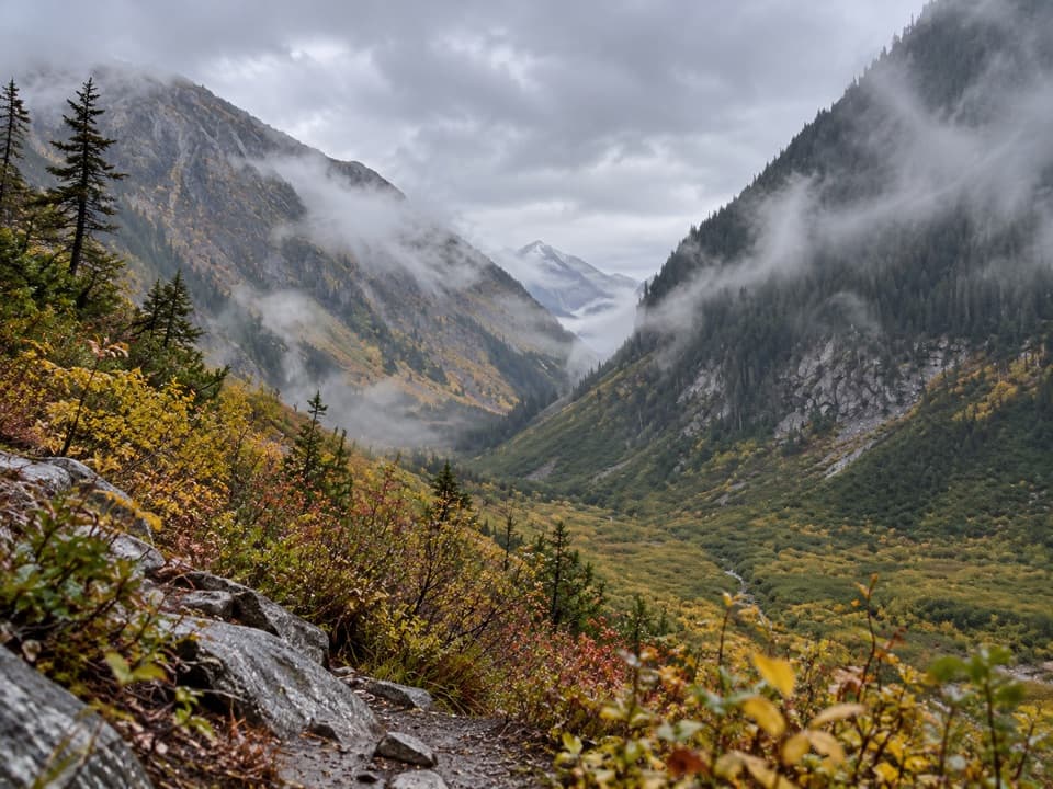
Bridge Creek Camp is a backcountry campground in the upper Stehekin Valley, at the northern end of the Old Wagon Trail. It’s a useful overnight base where the PCT, Bridge Creek Trail and routes toward nearby ridges meet; save it for a hike, not a quick stop.

Plan the walk inFrom High Bridge, the camp is 5.

From High Bridge, the camp is 5.3 miles one way with about 700 feet of gain, and a seasonal shuttle links Stehekin with High Bridge. The Road’s End cutoff is a shorter 3.2-mile walk; coming in from SR 20 on the PCT and Bridge Creek Trail is 12.8 miles with about 2,500 feet of descent. Backcountry camping is by limited permit. PCTA long-distance permit holders don’t need an additional park permit here; other campers need one in advance.

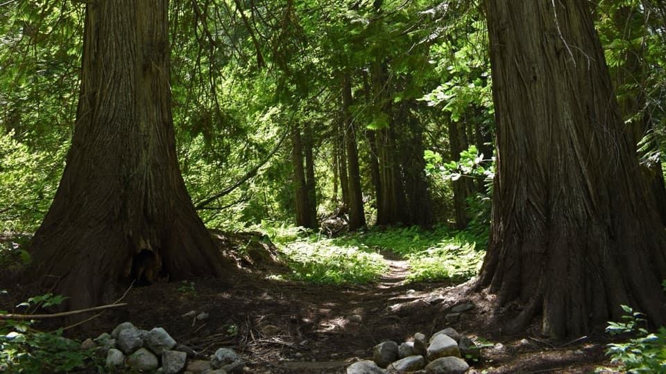
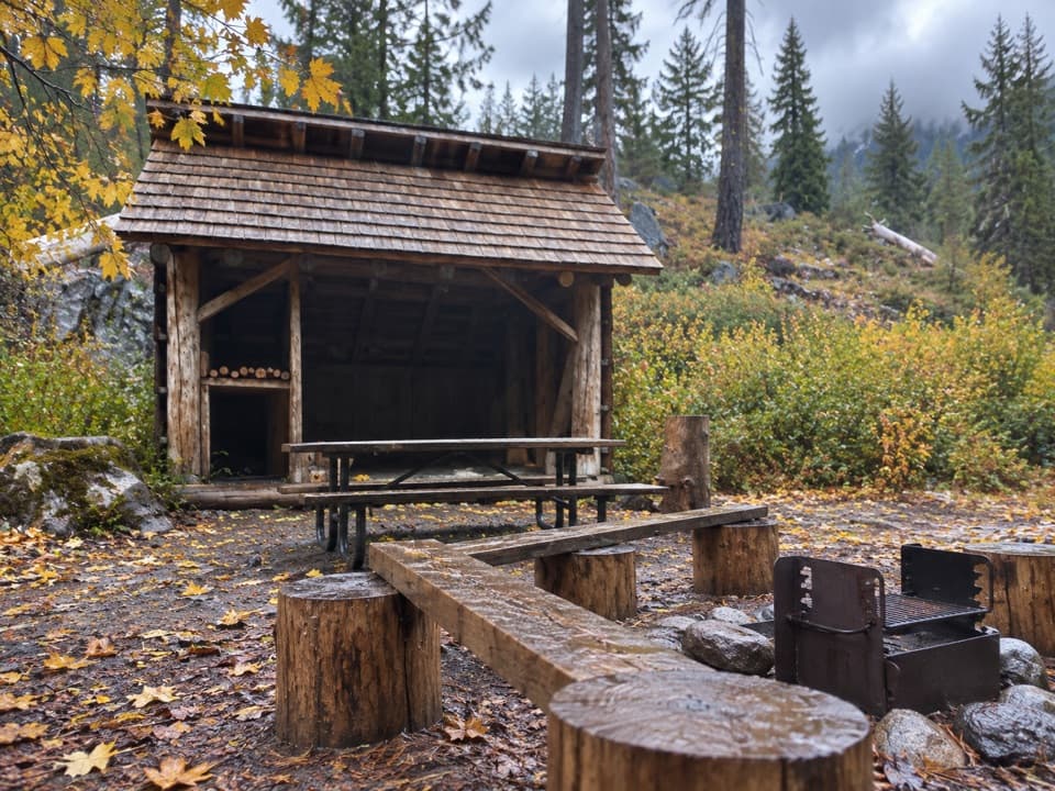
Settle into a simple campExpect a shaded forest camp with hiker, PCT, group and stock areas, toilets and bear boxes.

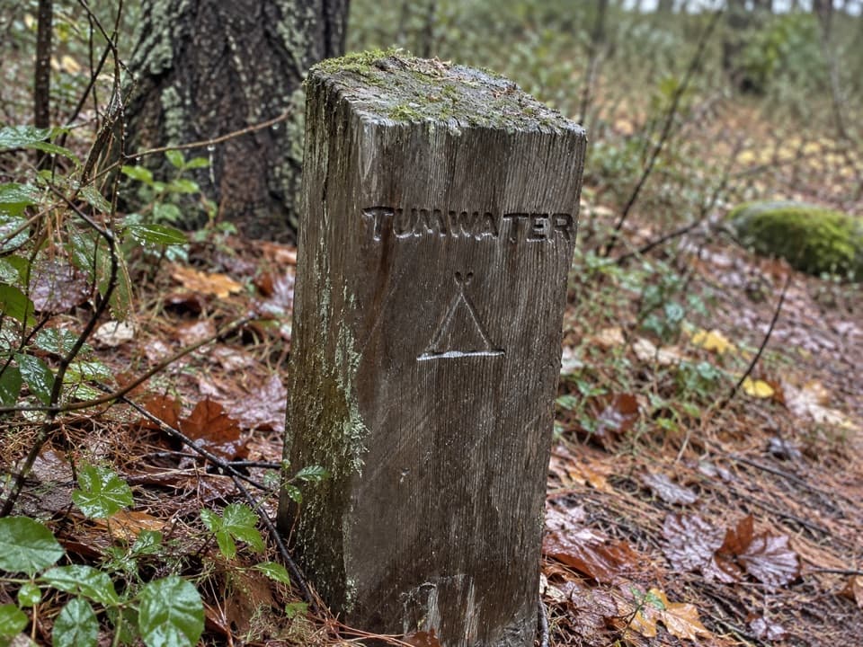
Expect a shaded forest camp with hiker, PCT, group and stock areas, toilets and bear boxes. Some sites have tables. Water is reported near some sites, but neither its potability nor access from every assigned site is confirmed, so plan to treat it. Check the information board when you arrive for your assigned area.

Two rivers built the benchesThe flat benches around camp formed over centuries from sediment where Bridge Creek meets the…

The flat benches around camp formed over centuries from sediment where Bridge Creek meets the Stehekin River. The river’s steady sound carries into the trees. A short continuation to the Bridge Creek crossing brings you to the creek’s turquoise pools.

A trail through a former settlementMiners and trappers exploring the Stehekin drainage once made a small settlement here, with a…

Miners and trappers exploring the Stehekin drainage once made a small settlement here, with a post office, general store and boarding house in the 1890s. Newspaper claims that 1,000 people lived here were likely exaggerated. The Old Wagon Trail follows an 1890s haul road; floods in 2003 washed out large stretches of the valley road and left the trail as the maintained route from Stehekin to Bridge Creek. On the walk from High Bridge, the Shady Burn’s fireweed and standing snags give way to old-growth western red cedars, some with trunks 6–8 feet across.

Wildlife

Wildlife in North Cascades

All North Cascades wildlife maps

Sighting maps show where each species has been reported across North Cascades. Wildlife moves, so no sighting is guaranteed.

Parkwolf’s North Cascades ranking

Top sights in North Cascades

All 76 places
  1. 1Diablo Lake OverlookSight
  2. 2Washington Pass OverlookSight
  3. 3Rainbow FallsSight
  4. 4Gorge Creek FallsSight
  5. 5Ross Lake OverlookSight
  6. 6Ladder Creek FallsSight

Take Parkwolf to North Cascades.

The audio tour guide for the drive, plus offline maps, trails, and wildlife heatmaps for when the signal drops.

4.7 from 8,600+ ratings

Download Parkwolf on the App StoreGet Parkwolf on Google Play