Parking
Start at High Bridge Trailhead beside the ranger station. Shuttle service reaches High Bridge from Stehekin; trailhead parking availability was not confirmed.
North Cascades National Park, WA
A long walk through cedar forest to two creek cascades.
Overview
Map & elevation
Plan your hike

The highest, rockiest slopes around here are a summer buffet for grizzly bears.
North Cascades Tour Guide
Parkwolf is a GPS audio tour guide for North Cascades National Park. As you drive, it chimes in with what’s ahead: hidden gems, upcoming stops, history, geology, and wildlife, right through your car’s speakers.
See the North Cascades audio tourRecorded for this trailhead
High Bridge: River Gorge and Ranger Station“High Bridge is coming up, with the Stehekin River rushing through a rocky gorge below. Stop for the river view even if you’re not heading out on a hike.”
Plays as you drive up to this trailhead in the Parkwolf North Cascades Tour Guide.
More stories near here in the app
“Fantastic app with many points of information… It’s great to just turn on while you’re driving and it gives you an audio tour of the national Park. We love it!!!!”


Trail guide
This out-and-back follows the Pacific Crest Trail up Agnes Creek to Five Mile Camp: about 10.3 miles round trip, with roughly 2,100 feet of climbing. Allow most of a day; about eight hours is a sensible plan for the distance, climb, and stops. I’d pick it for a long forest walk and a look into the gorge, not for a summit or a big open view.
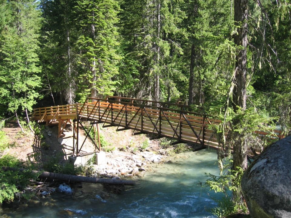
From High Bridge, the trail drops to Agnes Creek and crosses on a sturdy bridge. Nine switchbacks gain about 300 feet into Stephen Mather Wilderness. The grade eases, but the route keeps climbing through old-growth forest above a tumbling gorge. Large western red cedars are a standout along the way.
Around the two-mile mark, the trail enters Glacier Peak Wilderness. Heather Ridge and Trapper Creek send cascades down toward Agnes Creek; either is a good place to turn around if the full day is more than you want. Continue to Pass Creek, where a log bridge leads to Five Mile Camp. The PCT carries on into backcountry beyond the camp.
High Bridge is reached from Stehekin by shuttle, so plan your start and return around the service. The High Bridge Ranger Station and a picnic table are by the trailhead; toilet and water details there weren’t confirmed. The historic guard station buildings and horse corral date to 1933–34. Leashed pets are allowed on this PCT segment; keep dogs on a leash no longer than six feet.
Wildlife
 101 sightingsMountain GoatMost seen around 6 PMSighting map
 70 sightingsBlack BearMost seen around 8 PMSighting map
 20 sightingsMule DeerMost seen around 7 PMSighting map
 77 sightingsSooty GrouseMost seen around 6 AMSighting map
 23 sightingsWhite-tailed PtarmiganMost seen around 6 PMSighting map
 75 sightingsWestern ToadMost seen around 8 PMSighting map
Sighting maps show where each species has been reported across North Cascades. Wildlife moves, so no sighting is guaranteed.
Keep exploring
 ChallengingMcGregor Mountain Trail15 mi · 12 hr · At the trailheadA punishing climb to Heaton Camp and far-reaching Stehekin views.
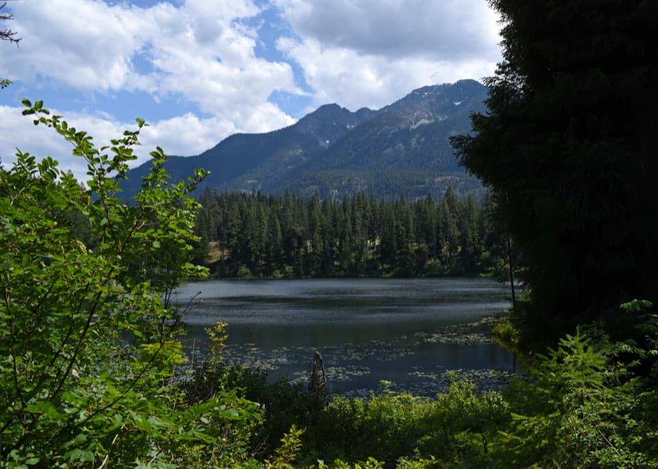 ModerateHoward Lake Trail2.8 mi · 2.5 hr · At the trailheadClimb to water lilies, dragonflies and a beaver lodge.
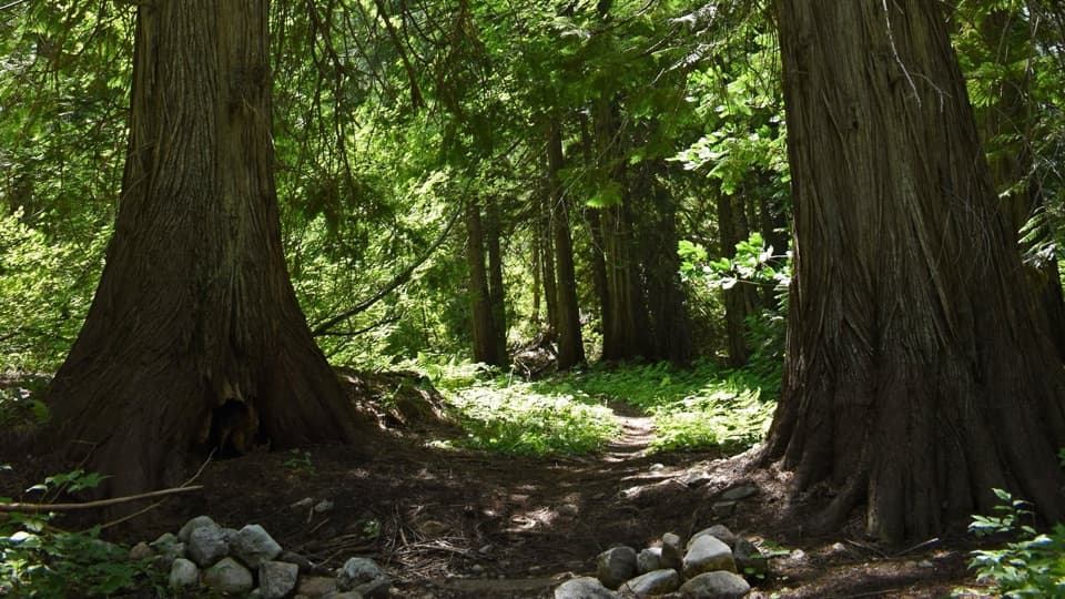 EasyOld Wagon Trail to Bridge Creek Camp5.3 mi · 3 hr · At the trailheadA gentle one-way walk through cedar groves to Bridge Creek Camp.
 EasyAgnes Gorge Trail5 mi · 3 hr · 0.1 mi awayAn easy forest walk to a narrow gorge and waterfall.
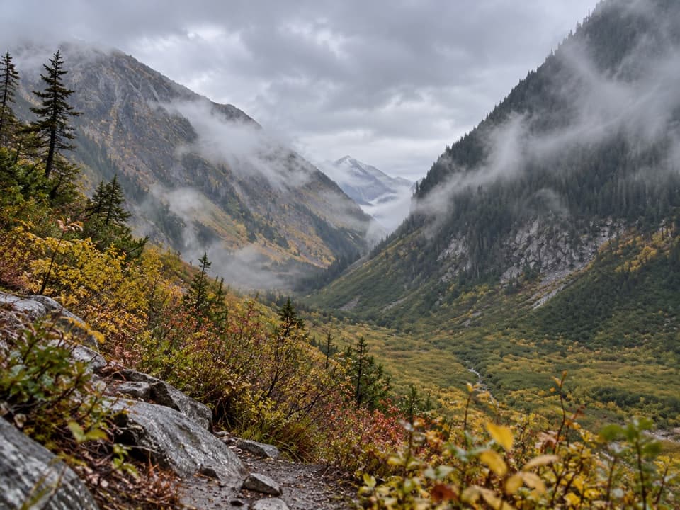 ModerateUpper Stehekin Valley Trail7 mi · 4 hr · 3.7 mi awayA remote old road connects two backcountry camps in Stehekin Valley.
 ChallengingGoode Ridge Trail10 mi · 9 hr · 4.1 mi awaySteep ridge climb to an old lookout with wide Cascade views.
 ChallengingPark Creek Trail to Park Creek Pass8 mi · 7 hr · 4.9 mi awayA remote 8-mile climb to a pass between Logan and Buckner
 ModerateFlat Creek Trail6.6 mi · 3.5 hr · 5.2 mi awayA remote valley walk through fire recovery to old-growth cedars.
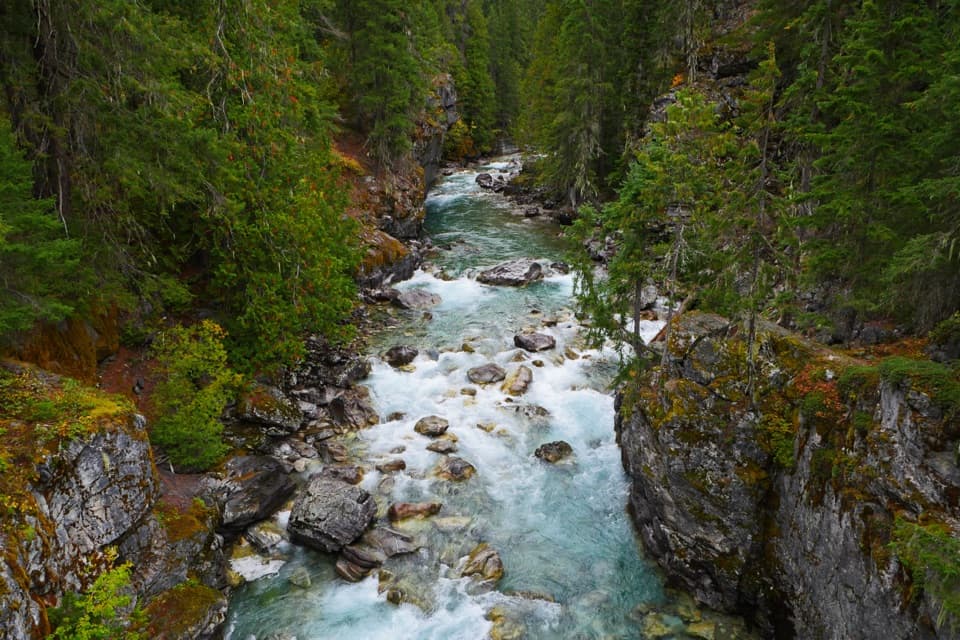 Sight · At the trailheadHigh BridgeA remote Stehekin River gorge view at a historic ranger station.
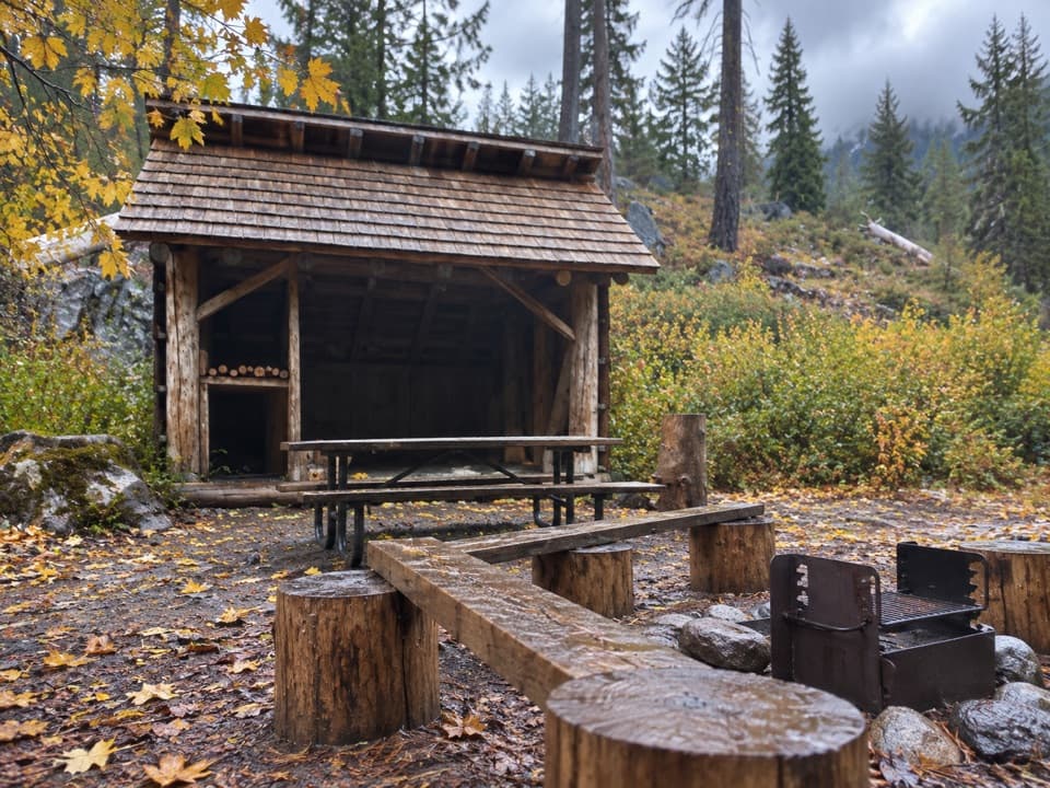 Campground · 0.1 mi awayHigh Bridge CampgroundBackcountry camp two miles beyond High Bridge.
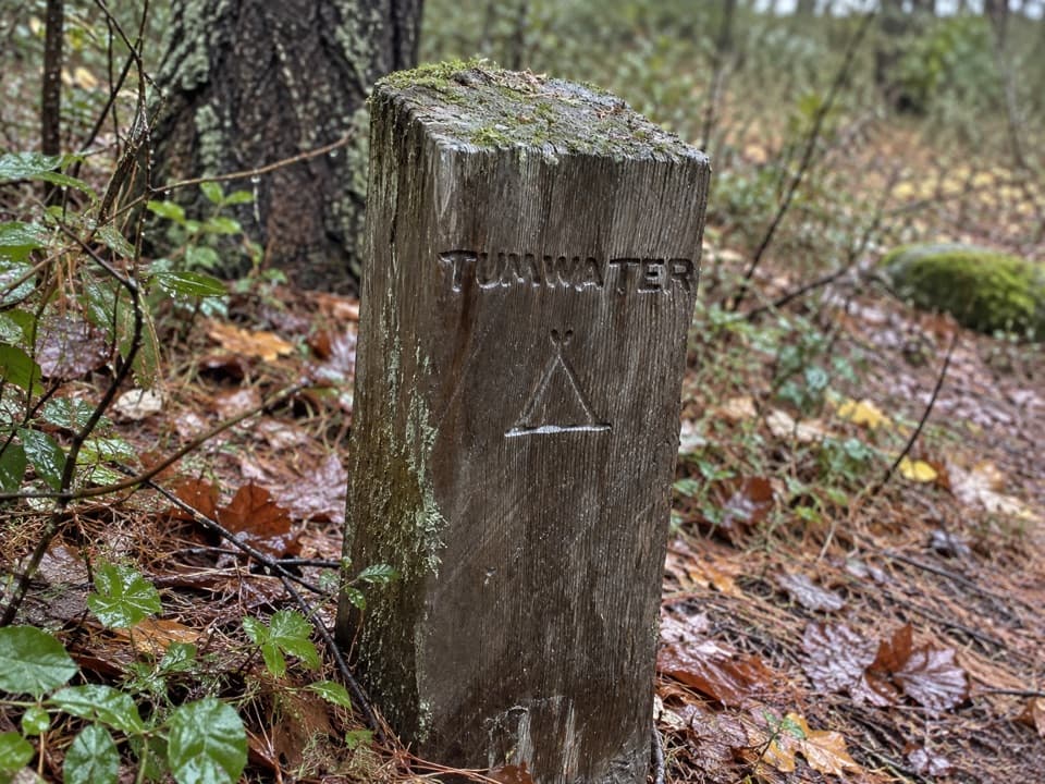 Campground · 0.7 mi awayTumwater CampA backcountry night along Stehekin’s upper valley routes.
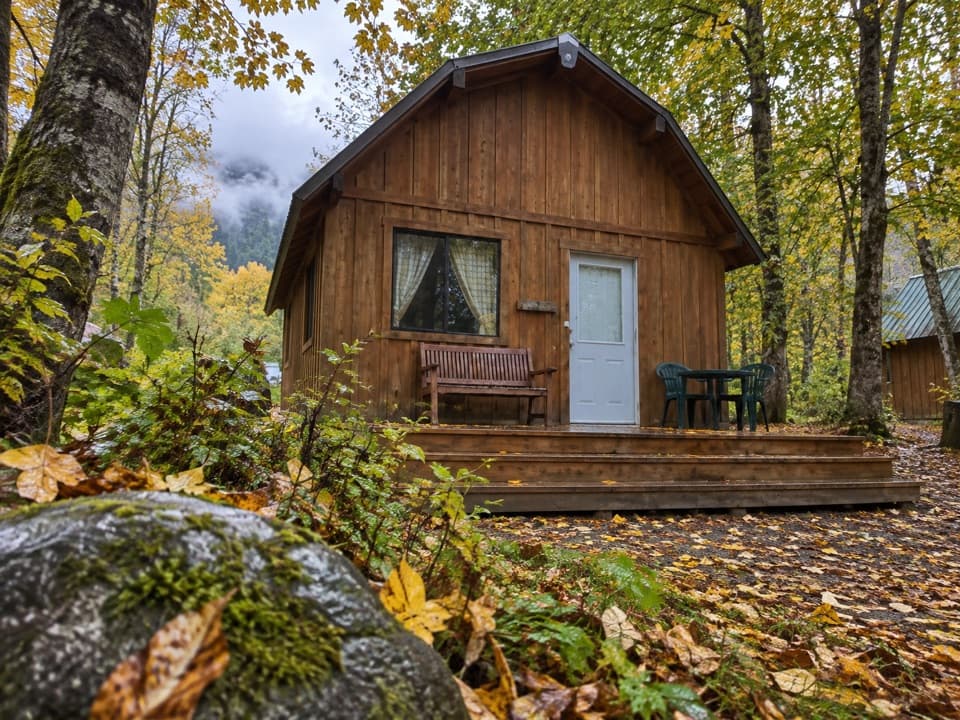 Lodging · 2.4 mi awayStehekin Valley RanchA remote stay nine miles up-valley with meals and transport included.
 Campground · 3.7 mi awayBridge Creek CampA river confluence camp for the trails beyond Stehekin.
 Sight · 6.1 mi awayHarlequin BridgeA short valley stop with a surprisingly unusual bridge story.
 Campground · 6.1 mi awayHarlequin CampgroundA walk-in camp along the Stehekin River.
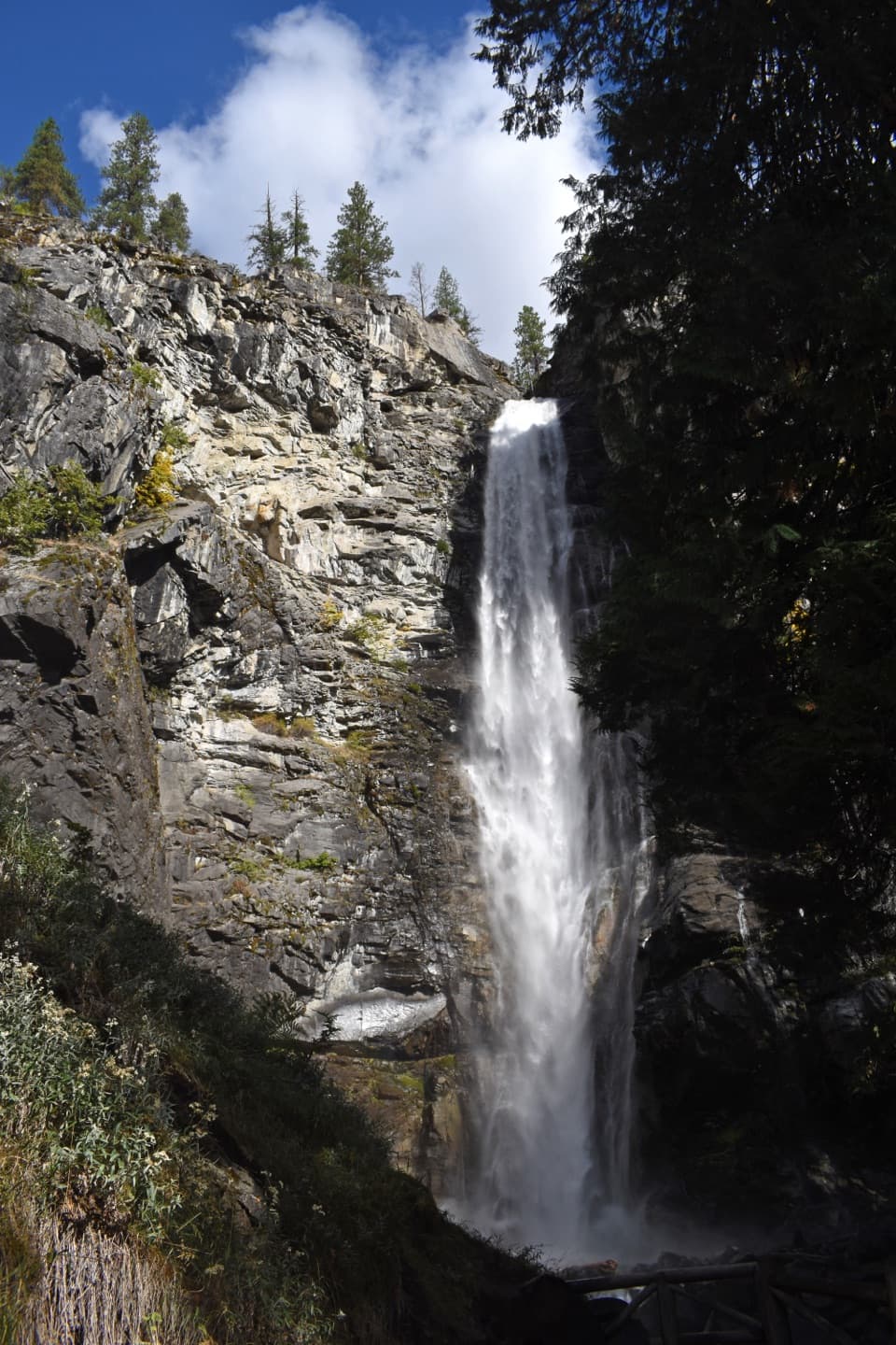 Sight · 6.9 mi awayRainbow FallsA short walk reaches a 312-foot waterfall in a glacial valley.
Parkwolf’s North Cascades ranking

The audio tour guide for the drive, plus offline maps, trails, and wildlife heatmaps for when the signal drops.




