Parking
Take the seasonal Stehekin Valley shuttle to High Bridge. The trail starts behind the corral at the historic ranger station; trailhead parking details are not listed.
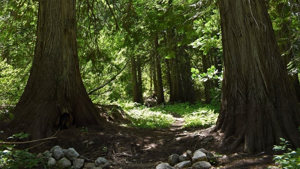
North Cascades National Park, WA
A gentle one-way walk through cedar groves to Bridge Creek Camp.
Overview
Map & elevation
Plan your hike

The highest, rockiest slopes around here are a summer buffet for grizzly bears.
North Cascades Tour Guide
Parkwolf is a GPS audio tour guide for North Cascades National Park. As you drive, it chimes in with what’s ahead: hidden gems, upcoming stops, history, geology, and wildlife, right through your car’s speakers.
See the North Cascades audio tourRecorded for this trailhead
High Bridge: River Gorge and Ranger Station“High Bridge is coming up, with the Stehekin River rushing through a rocky gorge below. Stop for the river view even if you’re not heading out on a hike.”
Plays as you drive up to this trailhead in the Parkwolf North Cascades Tour Guide.
More stories near here in the app
“Fantastic app with many points of information… It’s great to just turn on while you’re driving and it gives you an audio tour of the national Park. We love it!!!!”


Trail guide
This is a 5.3-mile one-way, point-to-point hike from High Bridge to Bridge Creek Camp, with about 700 feet of reported elevation gain. It rolls through forest rather than climbing to a summit; allow about three hours each way. The route ends at a backcountry camp, so a same-trail day outing is 10.6 miles round trip. Overnight stays require a limited backcountry permit.
Begin behind the corral at the historic High Bridge Ranger Station. The first 1.3 miles is also called the Howard Lake Trail and serves as the access route to Howard Lake and the McGregor Mountain junction. Beyond that junction, the path meanders through Douglas-fir with little elevation change. A signed spur heads west to Stehekin Valley Road; it is part of a separate, shorter road-return option rather than the mapped walk to Bridge Creek.
The route crosses the Shady Fire burn, where blackened snags stand among open and closed patches of forest. Fireweed brightens the openings and can attract rufous hummingbirds; downy woodpeckers forage among the snags. Some standing burned trees can be unstable in strong wind or heavy rain. Farther along, look for western red cedars with trunks six to eight feet across. A person beside one of the largest trunks gives the grove a useful sense of scale.
The trail follows the general line of an 1890s haul road, though only faint traces of the wagon route remain. Floods in 2003 removed sections of the valley road, leaving this trail as the maintained route from Stehekin to Bridge Creek. At about 4.5 miles, a spur drops toward Shady Camp and the Stehekin River; Bridge Creek Camp is about 0.8 mile farther. Its flat benches formed from sediment at the meeting of Bridge Creek and the Stehekin River, and the site once served an 1890s mining and trapping settlement.
Wildlife
 101 sightingsMountain GoatMost seen around 6 PMSighting map
 70 sightingsBlack BearMost seen around 8 PMSighting map
 20 sightingsMule DeerMost seen around 7 PMSighting map
 77 sightingsSooty GrouseMost seen around 6 AMSighting map
 23 sightingsWhite-tailed PtarmiganMost seen around 6 PMSighting map
 75 sightingsWestern ToadMost seen around 8 PMSighting map
Sighting maps show where each species has been reported across North Cascades. Wildlife moves, so no sighting is guaranteed.
Keep exploring
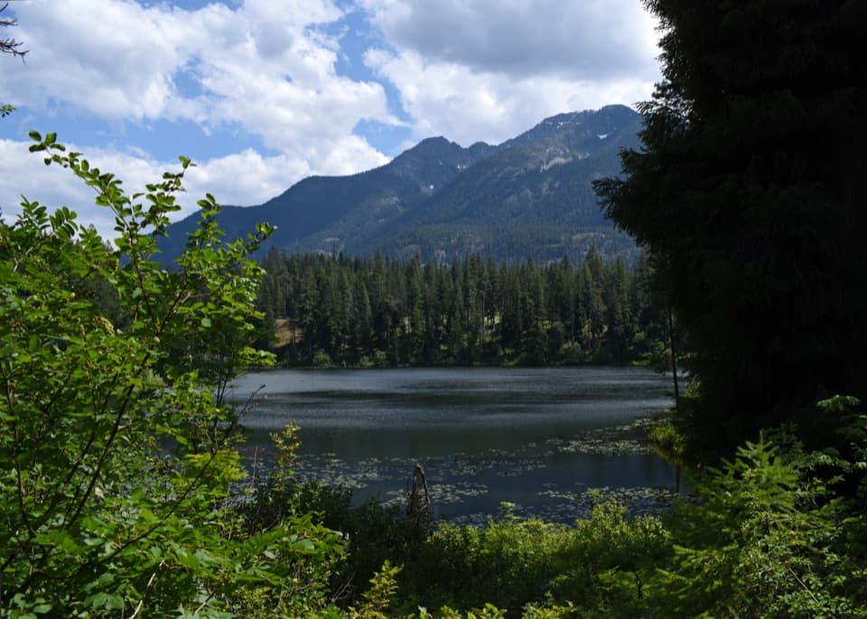 ModerateHoward Lake Trail2.8 mi · 2.5 hr · At the trailheadClimb to water lilies, dragonflies and a beaver lodge.
 ChallengingMcGregor Mountain Trail15 mi · 12 hr · At the trailheadA punishing climb to Heaton Camp and far-reaching Stehekin views.
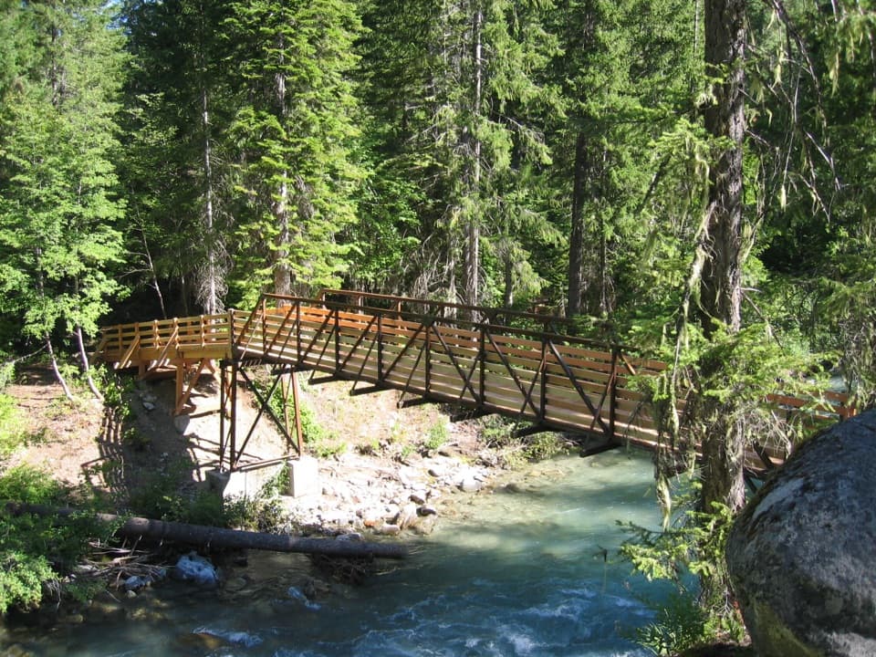 ChallengingAgnes Creek Trail10.3 mi · 8 hr · At the trailheadA long walk through cedar forest to two creek cascades.
 EasyAgnes Gorge Trail5 mi · 3 hr · 0.1 mi awayAn easy forest walk to a narrow gorge and waterfall.
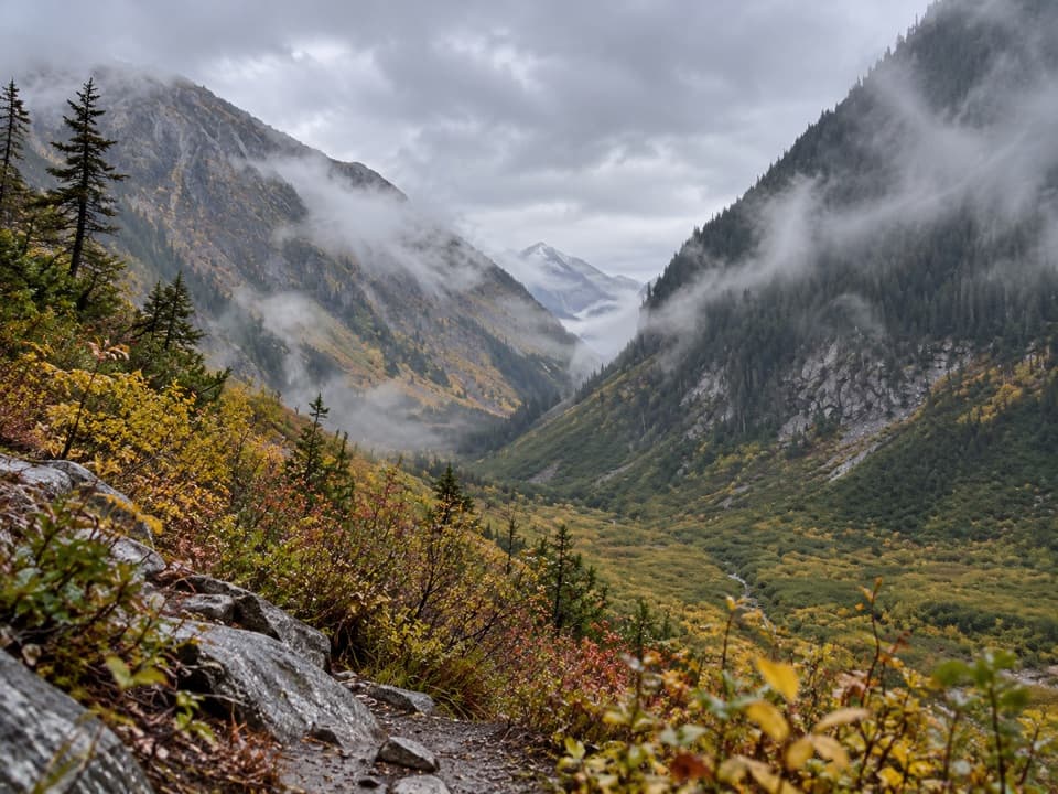 ModerateUpper Stehekin Valley Trail7 mi · 4 hr · 3.7 mi awayA remote old road connects two backcountry camps in Stehekin Valley.
 ChallengingGoode Ridge Trail10 mi · 9 hr · 4 mi awaySteep ridge climb to an old lookout with wide Cascade views.
 ChallengingPark Creek Trail to Park Creek Pass8 mi · 7 hr · 4.9 mi awayA remote 8-mile climb to a pass between Logan and Buckner
 ModerateFlat Creek Trail6.6 mi · 3.5 hr · 5.2 mi awayA remote valley walk through fire recovery to old-growth cedars.
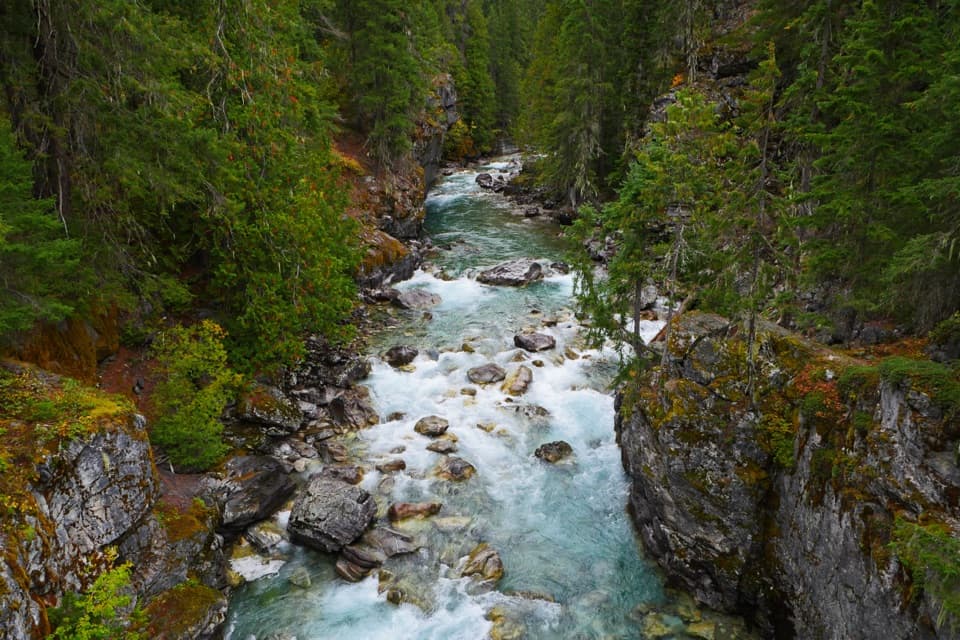 Sight · At the trailheadHigh BridgeA remote Stehekin River gorge view at a historic ranger station.
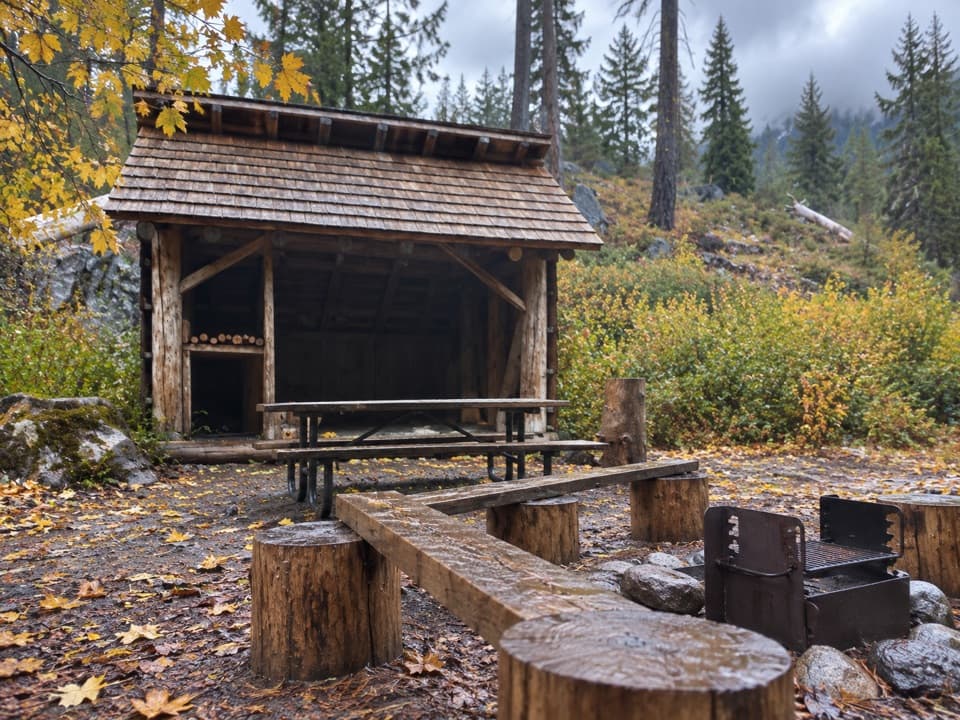 Campground · 0.1 mi awayHigh Bridge CampgroundBackcountry camp two miles beyond High Bridge.
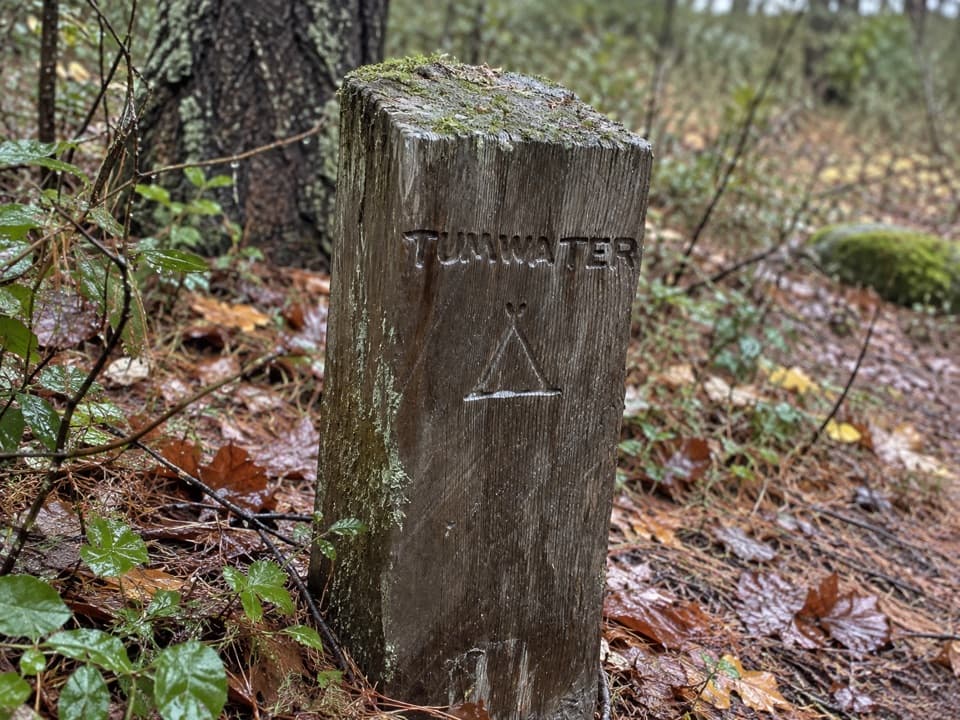 Campground · 0.7 mi awayTumwater CampA backcountry night along Stehekin’s upper valley routes.
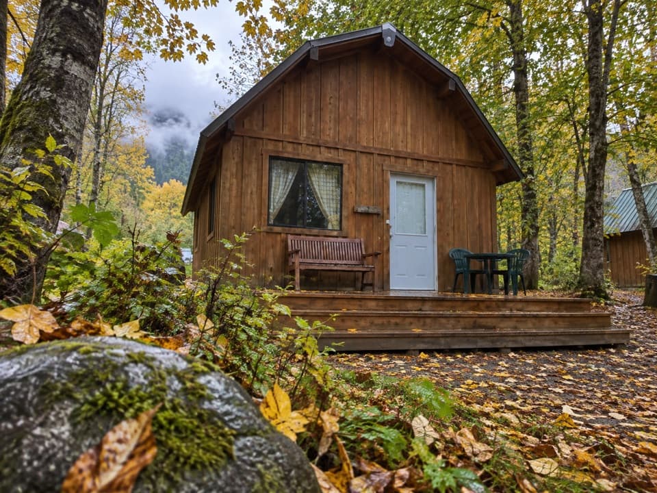 Lodging · 2.4 mi awayStehekin Valley RanchA remote stay nine miles up-valley with meals and transport included.
 Campground · 3.7 mi awayBridge Creek CampA river confluence camp for the trails beyond Stehekin.
 Sight · 6.1 mi awayHarlequin BridgeA short valley stop with a surprisingly unusual bridge story.
 Campground · 6.1 mi awayHarlequin CampgroundA walk-in camp along the Stehekin River.
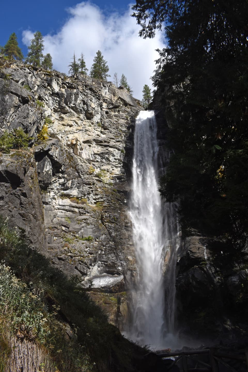 Sight · 6.9 mi awayRainbow FallsA short walk reaches a 312-foot waterfall in a glacial valley.
Parkwolf’s North Cascades ranking

The audio tour guide for the drive, plus offline maps, trails, and wildlife heatmaps for when the signal drops.




