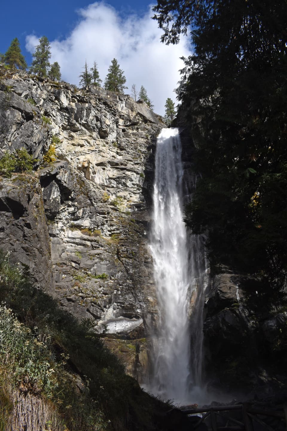
McGregor Mountain Trail in North Cascades National Park

North Cascades National Park, WA

McGregor Mountain Trail

A punishing climb to Heaton Camp and far-reaching Stehekin views.

Photo: National Park Service
Length
15mi
Time
12hr
Elev. change
6,280ft
Difficulty
Challenging
  • No dogs
  • High point 7,864 ft
  • #43 of 88 in North Cascades

Hear the audio tour

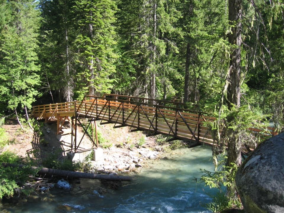
High Bridge: River Gorge and Ranger Station

Overview

About McGregor Mountain Trail

Why go

  • The 2.9-mile viewpoint makes a worthwhile shorter objective.
  • Heaton Camp sits in a larch basin high above Stehekin Valley.

Heads up

  • A 15-mile round trip with about 6,200 feet of climbing and little dependable water.
  • High Bridge shuttle timing may make a same-day return impractical.

Map & elevation

The route

Loading the North Cascades map
Full map
Elevation1,585–7,864 ft
TrailheadHigh Bridge Trailhead48.38010, -120.83800
Keep this map with you offline in the Parkwolf app

Plan your hike

Before you go

Parking

The standard trailhead is behind the corral and ranger station at High Bridge, reached from Stehekin Landing by shuttle. No facilities are reported at the trailhead. The former Dolly Varden access saves about one-third mile but is not served by the park shuttle. Confirm your return logistics before setting out; shuttle layovers may not leave most hikers enough time for the full route.

Safety

This is a steep, hot, dry climb with limited water; late in the season there is little water beyond about mile six. The upper two miles may hold snow into August, and snow-covered trail requires an ice axe. Pets are prohibited on McGregor Mountain Trail. Overnight camping at Heaton Camp requires a backcountry permit; fires are not allowed there. The summit scramble beyond the rocky trail end has loose footing, exposure, and route-finding.

7 active North Cascades alerts

  • InfoLimited services at Stehekin Landing after flood damageMentions Stehekin Landing, referenced in this guideSome services at Stehekin Landing remain limited after the December 2025 flood damaged the wastewater treatment plant and other basic infrastructure.Official details
  • ClosureWildfire closures and Stehekin fire advisoryWildfire-related closures remain in effect; stay out of all closed trails, camps, and areas.Official details
See all 7 alerts
A park ranger sits on a dash-mounted phone, talking, as Parkwolf’s Tour Guide plays “Army Cutworm Moths: A Grizzly Bear Buffet” on Grand Loop Road below Dunraven Pass in Yellowstone
Parkwolf Tour GuideThe highest, rockiest slopes around here are a summer buffet for grizzly bears.

North Cascades Tour Guide

Your drive to McGregor Mountain Trail, narrated.

Parkwolf is a GPS audio tour guide for North Cascades National Park. As you drive, it chimes in with what’s ahead: hidden gems, upcoming stops, history, geology, and wildlife, right through your car’s speakers.

See the North Cascades audio tour

Recorded for this trailhead

High Bridge: River Gorge and Ranger Station
0:00 / 0:35
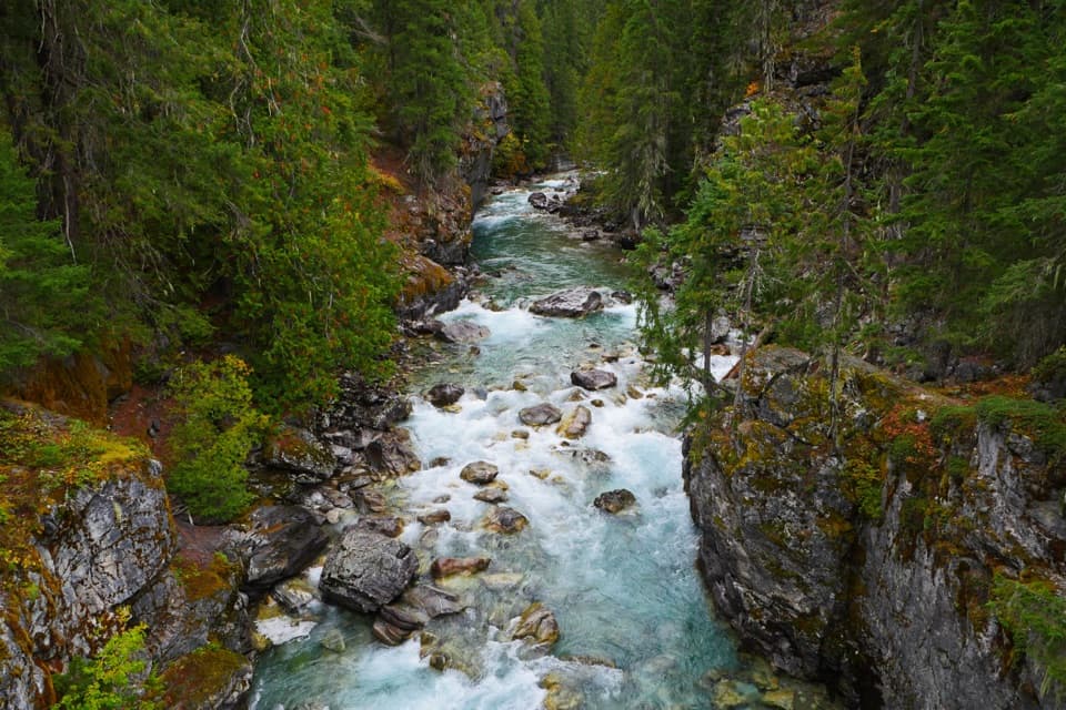
“High Bridge is coming up, with the Stehekin River rushing through a rocky gorge below. Stop for the river view even if you’re not heading out on a hike.”

Plays as you drive up to this trailhead in the Parkwolf North Cascades Tour Guide.

More stories near here in the app

  • A Pine's Thick Skin
  • The Prospector Behind Howard Lake
  • Stehekin Valley Ranch and the Cookhouse
  • The Landscape Under Lake Chelan
  • 83 audio storiesacross North Cascades’s roads, triggered by GPS as you drive
  • Wildlife heatmapsfor Mountain Goat, Black Bear, Mule Deer, and 10 more
  • Works offlinemaps, 88 trails, 76 places, and audio download before you lose signal
  • CarPlay readysimple controls built for the drive
★★★★★
“Fantastic app with many points of information… It’s great to just turn on while you’re driving and it gives you an audio tour of the national Park. We love it!!!!”
JMJamesApp Store review
Download Parkwolf on the App StoreGet Parkwolf on Google Play

4.7 from 8,600+ ratings

Trail guide

Hiking McGregor Mountain Trail

The commitmentMcGregor Mountain Trail is a 15-mile out-and-back from High Bridge, about 7.

McGregor Mountain Trail is a 15-mile out-and-back from High Bridge, about 7.5 miles each way to the rocky end of established tread below the summit. Plan on around 12 hours and roughly 6,200 feet of climbing. This is a hard day for experienced hikers who want a long climb into the high country. A signed viewpoint about 2.9 miles in, after 2,100 feet of climbing, is a worthwhile turnaround if you want a substantial hike without the full ascent. High Bridge shuttle layovers may not leave most hikers enough time for the full round trip; consider an overnight at Heaton Camp, which requires a backcountry permit.

Start at High BridgeBegin behind the corral and ranger station at High Bridge, reached by the Stehekin shuttle.

Begin behind the corral and ranger station at High Bridge, reached by the Stehekin shuttle. Follow the Old Wagon/Pacific Crest Trail north. Howard Lake is about 1.3 miles in; take the signed McGregor junction just beyond it, before the Pacific Crest Trail turns downhill. The standard shuttle-served start is the simplest access. The former Dolly Varden access saves only about a third of a mile and is not served by the park shuttle. There are no facilities at the trailhead. Pets may use the Pacific Crest Trail access leg, but they are prohibited on McGregor Mountain Trail.

The long climbThe first stretch climbs moderately through forest to Howard Lake, with rocky outcrops and a…

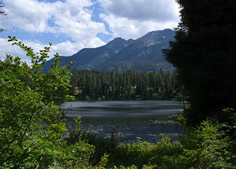
The first stretch climbs moderately through forest to Howard Lake, with rocky outcrops and a chance to watch for birds. Beyond the junction the character changes quickly: long, steep switchbacks lead into a hot, dusty traverse above the lake, then return to trees along a southwestern shoulder. The trail keeps climbing across open slopes, with the valley and peaks appearing between the outcrops. The viewpoint at about 2.9 miles is the best shorter objective and a natural place to turn around.

Into the subalpineNear the upper Howard Creek drainage, the undergrowth thins into stunted fir and pine.

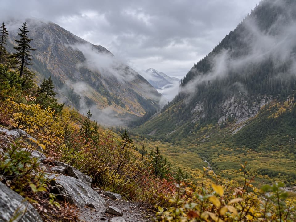
Near the upper Howard Creek drainage, the undergrowth thins into stunted fir and pine. Views open toward the glaciated slopes of Glacier and Dome Peaks. The creek cuts a channel through talus and tumbles down it; the trail crosses one braid before larches begin to dot the hillside. The route reaches a rocky lower glacial cirque and a sandy terminal moraine before climbing the left side toward Heaton Camp. Pikas live in this subalpine zone, so listen for their high-pitched squeak among the rocks.

Heaton Camp and the trail endHeaton Camp sits among larches at about 7,000 feet.

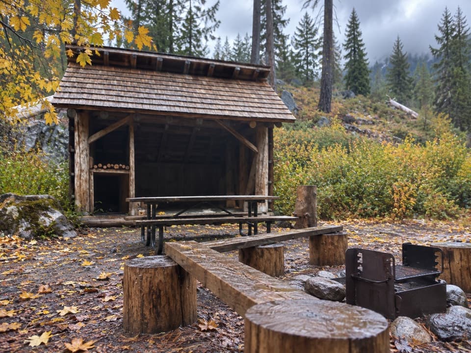
Heaton Camp sits among larches at about 7,000 feet. It is a single-party backcountry site for up to 12 people or stock; camping requires a permit. A seasonal stream is usually found a short distance below camp, but late in the season there is little water after about mile six, so don't count on it. Food canisters are recommended here, and fires are not allowed. The established trail continues above camp through dry switchbacks for roughly a third of a mile, ending at a rocky outcrop above a talus slope. That outcrop is the turnaround for this route.

The summit is a separate climbThe summit route leaves the established tread and crosses steep, loose talus and exposed rock…

The summit route leaves the established tread and crosses steep, loose talus and exposed rock with route-finding. It is a scramble for experienced climbers, not an extension to add casually to this hike. The summit held a fire lookout until 1955; Sandalee Glacier lies on the north-facing slope below it. Both are part of the mountain above the trail's normal endpoint.

Wildlife

Wildlife in North Cascades

All North Cascades wildlife maps

Sighting maps show where each species has been reported across North Cascades. Wildlife moves, so no sighting is guaranteed.

Keep exploring

Near McGregor Mountain Trail

See it all on the map

Trails that start nearby

Places near the trailhead

Parkwolf’s North Cascades ranking

Top-rated trails in North Cascades

All 88 trails
  1. 1Sahale Arm TrailChallenging · 11.8 mi
  2. 2Cascade Pass TrailModerate · 7.4 mi
  3. 3Heather–Maple Pass LoopChallenging · 7.2 mi
  4. 4Hidden Lake TrailChallenging · 9 mi
  5. 5Copper Ridge / Chilliwack River LoopChallenging · 33.5 mi
  6. 6Thunder Knob TrailModerate · 3.8 mi

Take Parkwolf to North Cascades.

The audio tour guide for the drive, plus offline maps, trails, and wildlife heatmaps for when the signal drops.

4.7 from 8,600+ ratings

Download Parkwolf on the App StoreGet Parkwolf on Google Play