Parking
Use East Bank Trailhead on the north side of State Route 20 at milepost 138.
North Cascades National Park, WA
Four or five days of open ridges and careful water planning.
Overview
Map & elevation
Plan your hike

The highest, rockiest slopes around here are a summer buffet for grizzly bears.
North Cascades Tour Guide
Parkwolf is a GPS audio tour guide for North Cascades National Park. As you drive, it chimes in with what’s ahead: hidden gems, upcoming stops, history, geology, and wildlife, right through your car’s speakers.
See the North Cascades audio tourRecorded for this trailhead
East Bank Trailhead: Ruby Creek and Longer Trips“Up ahead is East Bank Trailhead, a starting point for long forest walks and backpacking trips above Ross Lake. The full East Bank route runs thirty-one miles one way to Hozomeen, usually taking two or three days.”
Plays as you drive up to this trailhead in the Parkwolf North Cascades Tour Guide.
More stories near here in the app
“Fantastic app with many points of information… It’s great to just turn on while you’re driving and it gives you an audio tour of the national Park. We love it!!!!”


Trail guide
Devil's Dome Loop is a 40.4-mile backpacking circuit that takes four to five days around Jack Mountain. Most of it lies in the Pasayten Wilderness; the loop reaches Ross Lake along the East Bank Trail. Expect roughly 13,000 feet of climbing and a high point near 7,000 feet. The payoff is a big change of scenery: forest and lakeshore give way to long, open ridges, wildflower meadows and glacier views. Start at East Bank Trailhead, follow Ruby Creek Trail east, cross Jackita Ridge and Devil's Ridge, then return on East Bank. This is a serious trip for experienced backpackers who can handle steep climbs, exposed high country and several days without an easy exit. Plan four or five days.
From the trailhead, drop to Ruby Creek, then follow an old roadbed that contours up toward Hidden Hand Pass. Miners used this route to reach the upper Skagit before the gorge was dammed. A local story ties the name Jack Mountain to miner Jack Rowley: in 1879, a pointing hand is said to have guided him toward gold on Ruby Creek. After the pass, the East Bank Trail gradually drops about 900 feet to Ross Lake. Lakeshore camps make a good first night, but they require a backcountry permit.
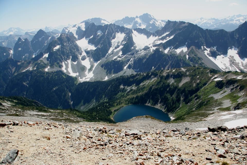
At Devil's Creek Campground, leave the lake for Devil's Ridge Trail. It climbs about 5,200 feet from the lakeshore, starting in old growth forest, then breaking across scree and into open alpine terrain. The north face of Jack Mountain and Nohokomeen Glacier come into view as you gain the ridge. The first possible water after the lake is at Dry Creek Pass, so don't assume there will be another source on the climb. Bear Skull Shelter is a short side trail. Devil's Dome is a dry, exposed camp with a wide view across the North Cascades, Pasayten and British Columbia. From the dome, frame Jack Mountain's north face with Nohokomeen Glacier beside it; that view shows what the long climb bought you.
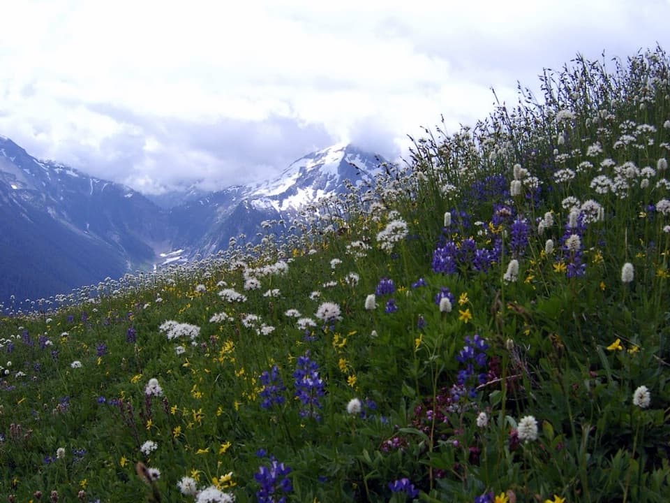
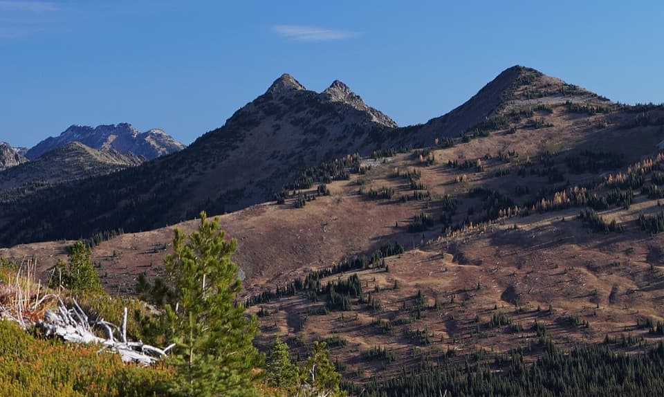
More than 15 miles connect Devil's Dome and Devil's Park. Most of this stretch stays above tree line, crossing open flower meadows with views in every direction. Water is scarce. Devil's Pass may have a source a few hundred yards down its north side. After Anacortes Crossing, the route drops about 1,000 feet to a campsite and more reliable water, then climbs back through a wooded drainage. Jackita Ridge carries the trail through more meadows, looking across the rugged east side of Jack Mountain. The scale of this high traverse is the trip's signature, but it makes water planning a real part of the route.
From Devil's Park, the loop drops roughly 4,800 feet through meadows and old-growth forest to Canyon Creek, then follows Ruby Creek for about two miles back to East Bank. Near McMillan Park, a spur leads toward Crater Mountain. It adds about a mile and 500 feet of climbing to a lake, followed by an exposed scramble to the summit. Treat that as a separate, substantial side trip; it is not included in the loop's 40.4 miles.
There is no cell service and few practical exits once you are on the high ridges. Overnight camping in the park requires a backcountry permit, and the designated Ross Lake camps require permits as well. Leashed dogs are allowed on the East Bank segment; dogs are allowed on most forest wilderness trails when kept under control. Snow can linger on the high sections into summer; midsummer can bring heavy bugs, while fall brings cooler weather and shorter days. Several ridge stretches have little dependable water, so plan each day's carries around confirmed sources. This loop rewards a steady pace and a flexible itinerary more than an ambitious daily mileage target.
Wildlife
 101 sightingsMountain GoatMost seen around 6 PMSighting map
 70 sightingsBlack BearMost seen around 8 PMSighting map
 20 sightingsMule DeerMost seen around 7 PMSighting map
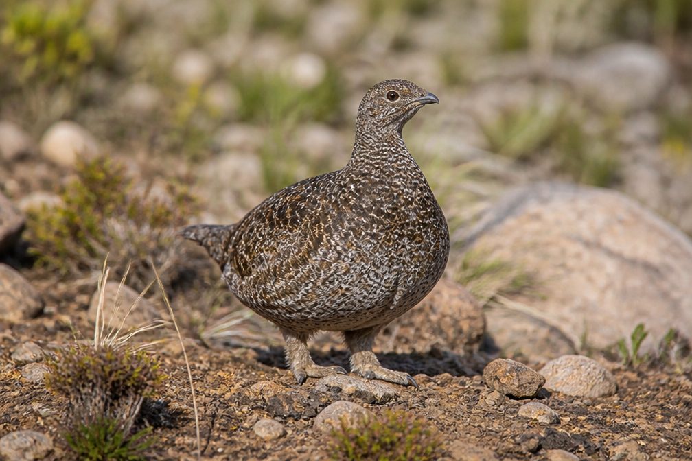 77 sightingsSooty GrouseMost seen around 6 AMSighting map
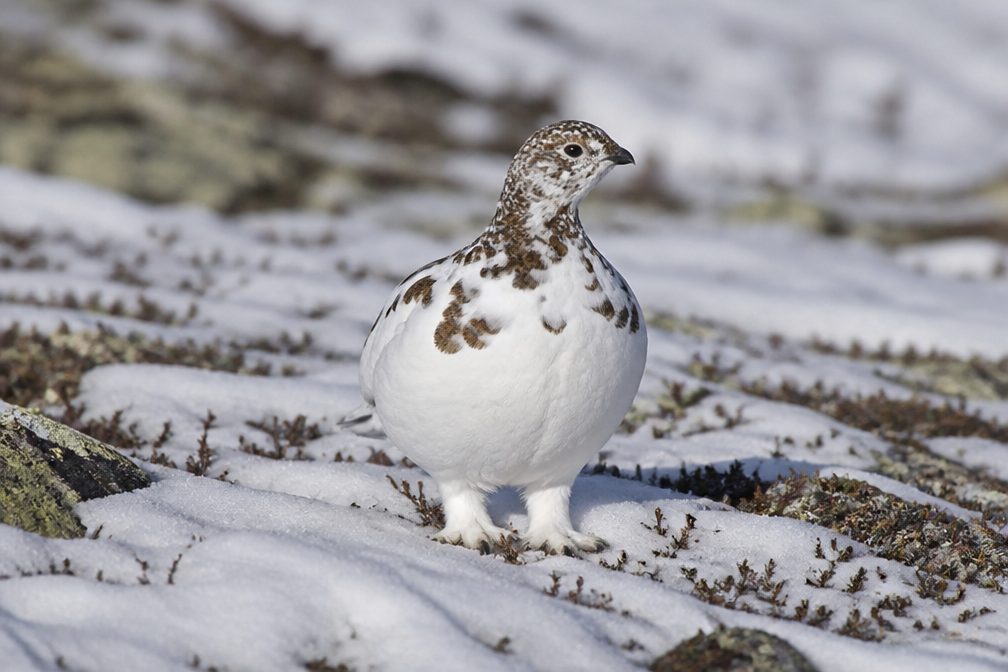 23 sightingsWhite-tailed PtarmiganMost seen around 6 PMSighting map
 75 sightingsWestern ToadMost seen around 8 PMSighting map
Sighting maps show where each species has been reported across North Cascades. Wildlife moves, so no sighting is guaranteed.
Keep exploring
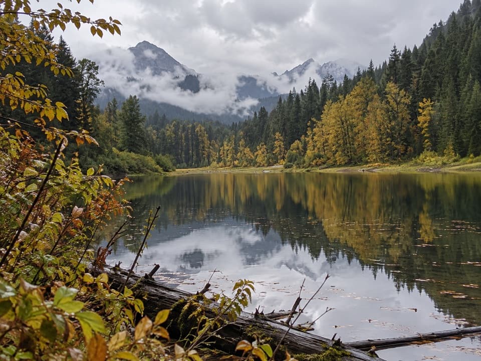 ChallengingWillow Lake Trail50.6 mi · 1.3 days · At the trailheadA remote, roughly 51-mile out-and-back to a marshy lake.
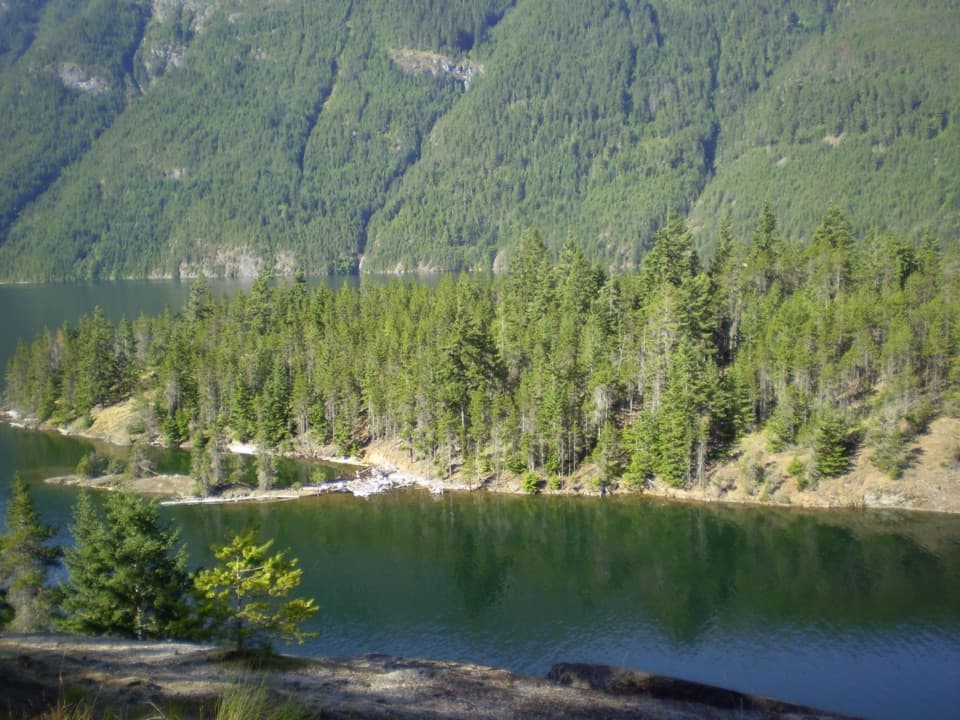 ChallengingEast Bank Trail31 mi · 22 hr · At the trailheadA 31-mile forest and lakeshore traverse to Hozomeen.
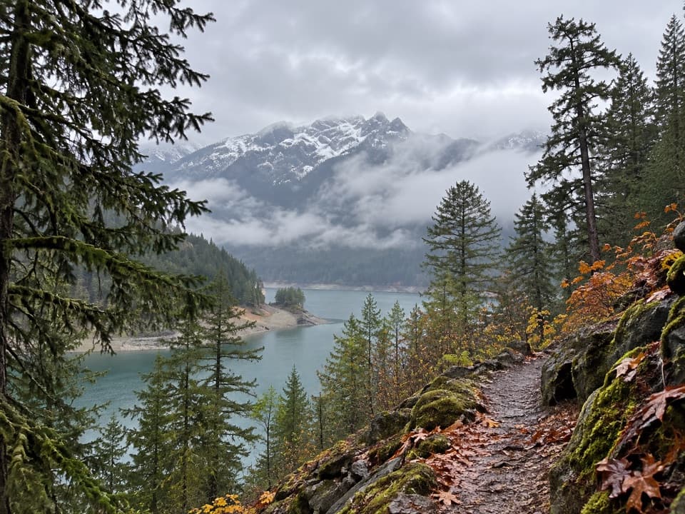 ModerateHappy Panther Trail10 mi · 5 hr · At the trailheadWaterfall bridges break up this long forest walk.
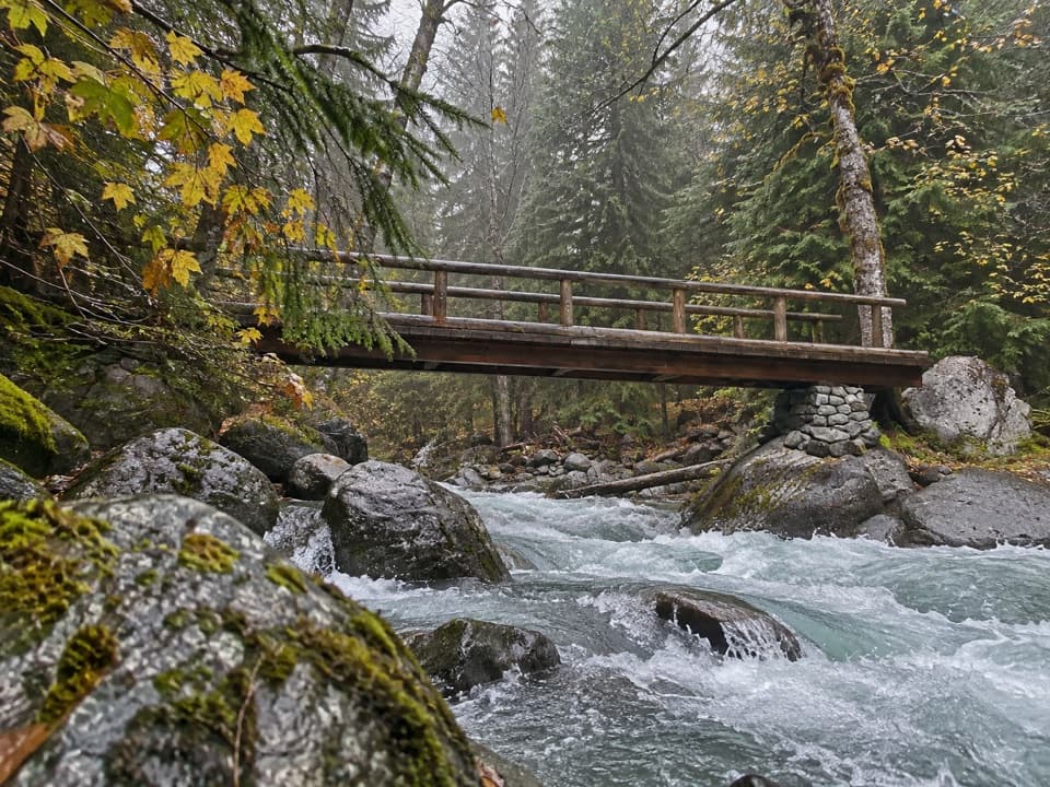 ChallengingPanther Creek Trail to Fourth of July Pass13 mi · 9 hr · 0.2 mi awayTumbling creek water marks the climb to Fourth of July Pass.
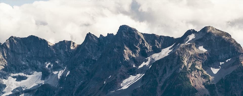 ChallengingLittle Jack Mountain Trail14.3 mi · 10 hr · 0.8 mi awayA long, steep climb to a broad North Cascades ridge view.
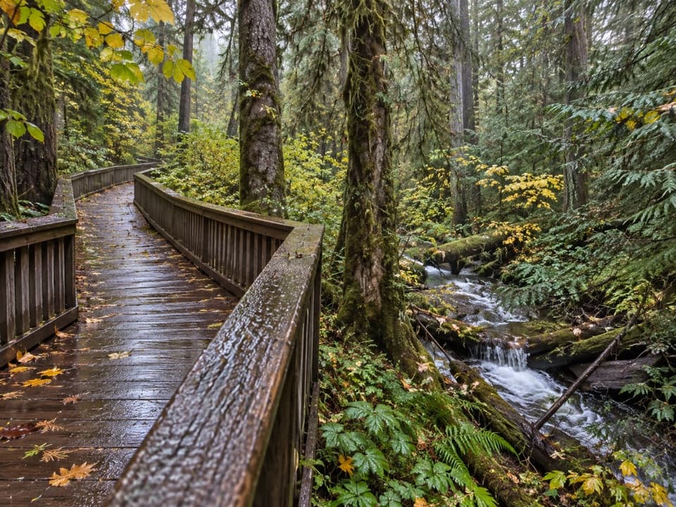 EasyHappy Creek Forest Walk0.3 mi · 15 min · 3.8 mi awayA short boardwalk loop beside Happy Creek and old-growth trees.
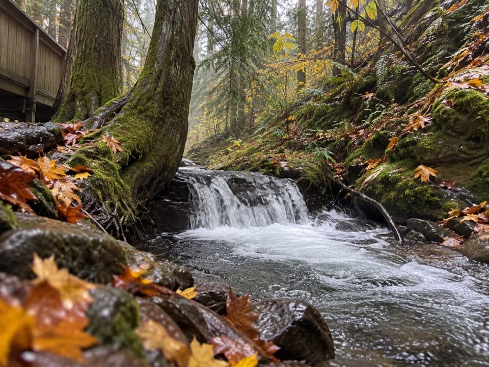 ModerateHappy Creek Falls Trail2.6 mi · 2.5 hr · 3.8 mi awayOld sawmill relics and stepped falls reward a steep creekside climb.
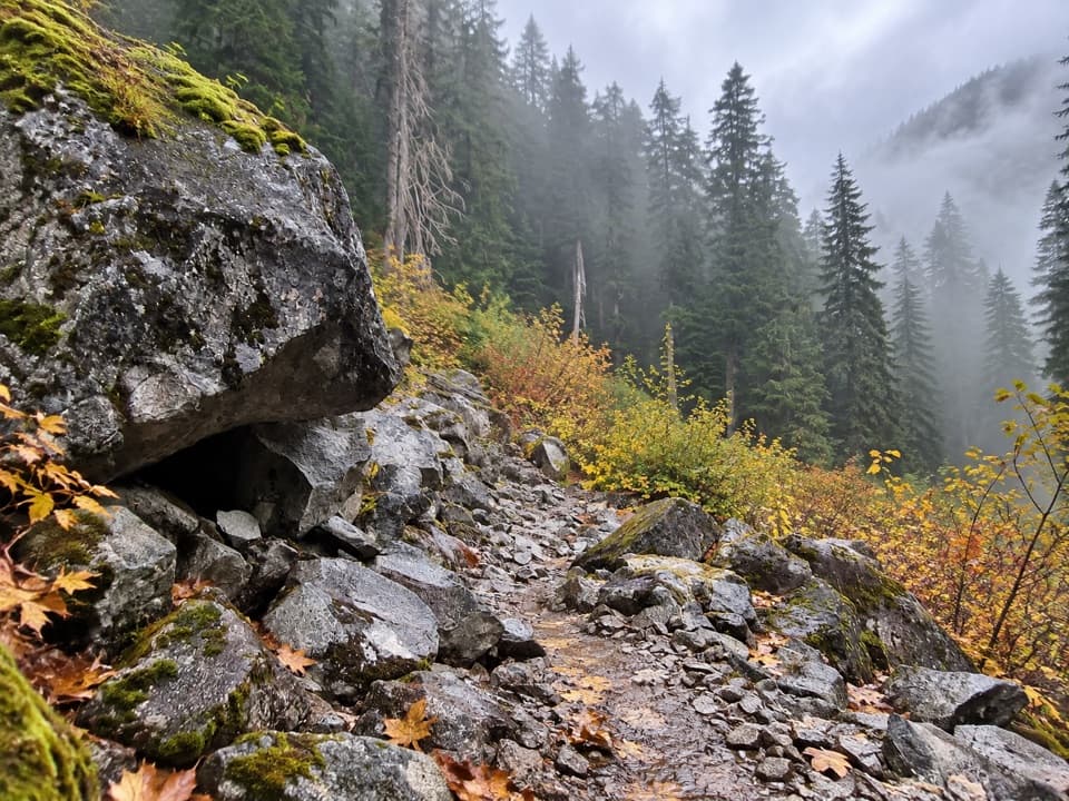 ChallengingBig Beaver Trail24.6 mi · 18 hr · 4.1 mi awayA long valley traverse past ancient cedars and beaver marshes.
 Sight · 3.3 mi awayRoss Lake OverlookA quick Ross Lake view from a wooded Highway 20 pullout.
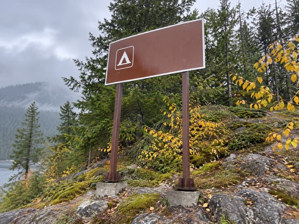 Campground · 3.9 mi awayCougar Island CampTwo island campsites for a self-sufficient night on Ross Lake.
 Campground · 4.1 mi awayGreen Point CampA small boat-in camp for a quiet Ross Lake night.
 Lodging · 4.4 mi awayRoss Lake ResortA floating Ross Lake resort reached by boat or a mile-long hike.
 Sight · 4.5 mi awayRoss DamWalk a concrete dam between Ross Lake and the Skagit gorge.
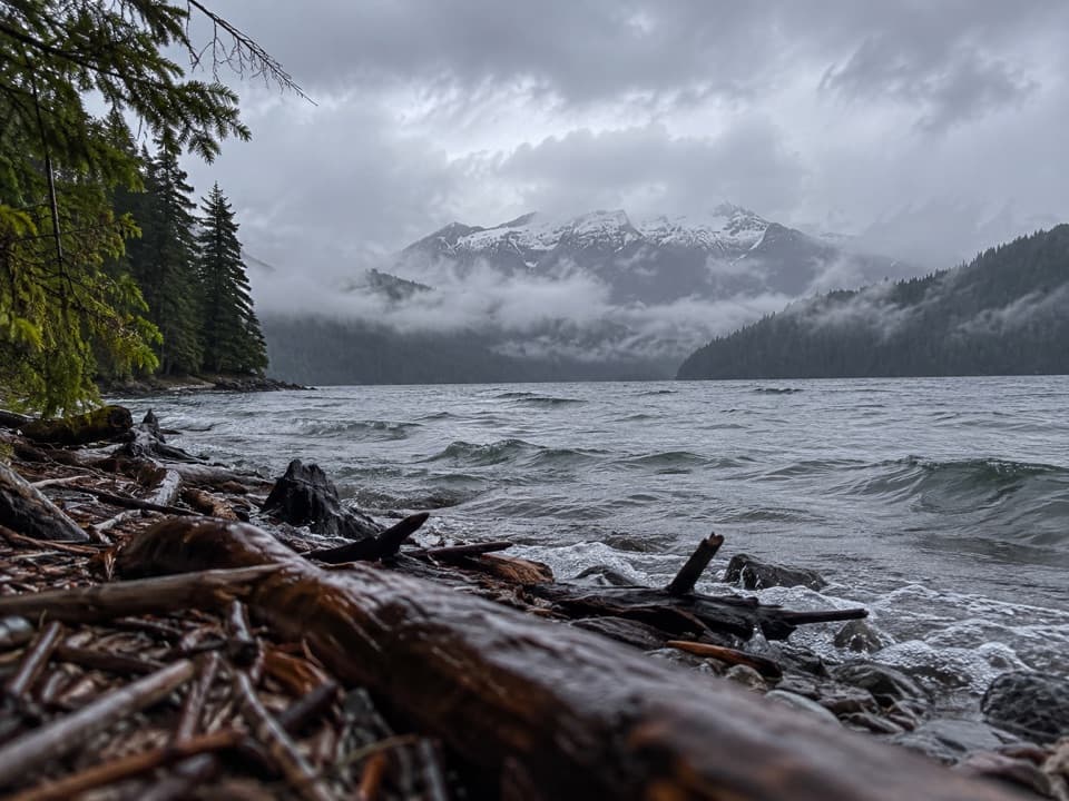 Campground · 4.7 mi awayRoland Point CampA remote boat-in camp tucked into a Ross Lake cove.
 Campground · 5.2 mi awayMcMillan CampA three-site boat-in camp that takes planning to reach.
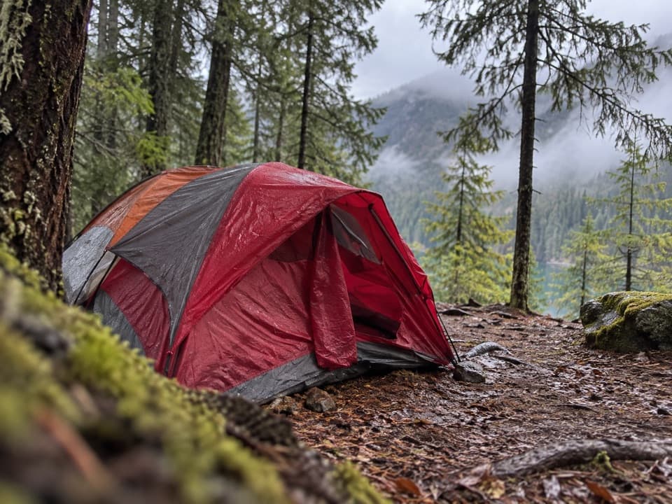 Campground · 5.4 mi awaySpencer’s CampTwo Ross Lake sites and a dock for a self-sufficient night.
Parkwolf’s North Cascades ranking

The audio tour guide for the drive, plus offline maps, trails, and wildlife heatmaps for when the signal drops.