Parking
Park at East Bank Trailhead off SR 20 near mile 139. Walk east across the highway bridge over Panther Creek and continue along the shoulder for a few minutes to the signed trail entrance; it is hard to see until close.
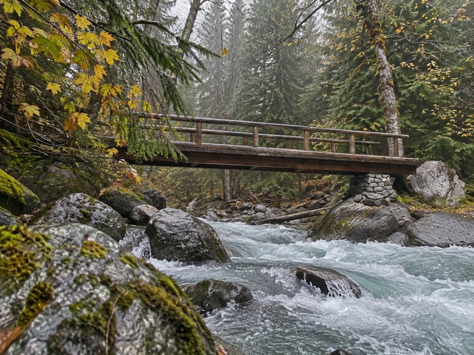
North Cascades National Park, WA
Tumbling creek water marks the climb to Fourth of July Pass.
Overview
Map & elevation
Plan your hike

The highest, rockiest slopes around here are a summer buffet for grizzly bears.
North Cascades Tour Guide
Parkwolf is a GPS audio tour guide for North Cascades National Park. As you drive, it chimes in with what’s ahead: hidden gems, upcoming stops, history, geology, and wildlife, right through your car’s speakers.
See the North Cascades audio tourRecorded for this trailhead
East Bank Trailhead: Ruby Creek and Longer Trips“Up ahead is East Bank Trailhead, a starting point for long forest walks and backpacking trips above Ross Lake. The full East Bank route runs thirty-one miles one way to Hozomeen, usually taking two or three days.”
Plays as you drive up to this trailhead in the Parkwolf North Cascades Tour Guide.
More stories near here in the app
“Fantastic app with many points of information… It’s great to just turn on while you’re driving and it gives you an audio tour of the national Park. We love it!!!!”


Trail guide
Panther Creek Trail to Fourth of July Pass is a 13-mile out-and-back from the signed SR 20 trailhead. The one-way route is about 6.5 miles; the mapped line is 6.68. A shorter 11.5-mile round-trip figure also appears, but its turnaround is unclear, so plan around 13 miles if you want to reach the pass and return. Allow 8–10 hours for steep ups and downs, brush and stops. The outward leg gains about 2,300 feet and loses about 500 along the way.
Park at East Bank Trailhead near SR 20 mile 139. Walk east over the highway bridge across Panther Creek, then follow the shoulder for a few minutes to the signed entrance; the trail is hard to spot until you are close. Traffic moves quickly, so cross carefully and walk single-file along the shoulder. This route is in Ross Lake National Recreation Area, where leashed pets are allowed. Overnight stays require a limited backcountry permit.
The trail climbs steeply from the road to a high knob, then drops into the forested creek valley. Once it reaches Panther Creek, the route follows its tumbling water through a mix of small rises and dips. Panther Camp is about 3.7 miles from the trailhead, around 2,000 feet elevation, and makes a useful shorter turnaround for roughly 7.4 miles round trip. The camp was rebuilt and moved about half a mile southwest in 2012; a new bridge followed in 2013. The bridge crossing is the clearest photo stop: include some of the boulder-lined water below it.
Beyond camp, the trail crosses avalanche chutes where brush can be thick and stinging nettles grow among the wildflowers. It then climbs toward a broad, forested pass at about 3,600 feet. This is not an open summit: a few views open above the small Panther Potholes, while the Panther Creek side is chiefly a creek-and-forest walk. The stronger mountain views are from Fourth of July Camp beyond the pass, outside this out-and-back. Fourth of July Pass melts earlier than many nearby passes, though current snow and trail conditions still vary.
Wildlife
 101 sightingsMountain GoatMost seen around 6 PMSighting map
 70 sightingsBlack BearMost seen around 8 PMSighting map
 20 sightingsMule DeerMost seen around 7 PMSighting map
 77 sightingsSooty GrouseMost seen around 6 AMSighting map
 23 sightingsWhite-tailed PtarmiganMost seen around 6 PMSighting map
 75 sightingsWestern ToadMost seen around 8 PMSighting map
Sighting maps show where each species has been reported across North Cascades. Wildlife moves, so no sighting is guaranteed.
Keep exploring
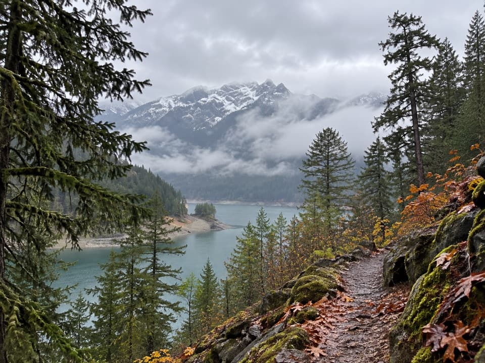 ModerateHappy Panther Trail10 mi · 5 hr · 0.2 mi awayWaterfall bridges break up this long forest walk.
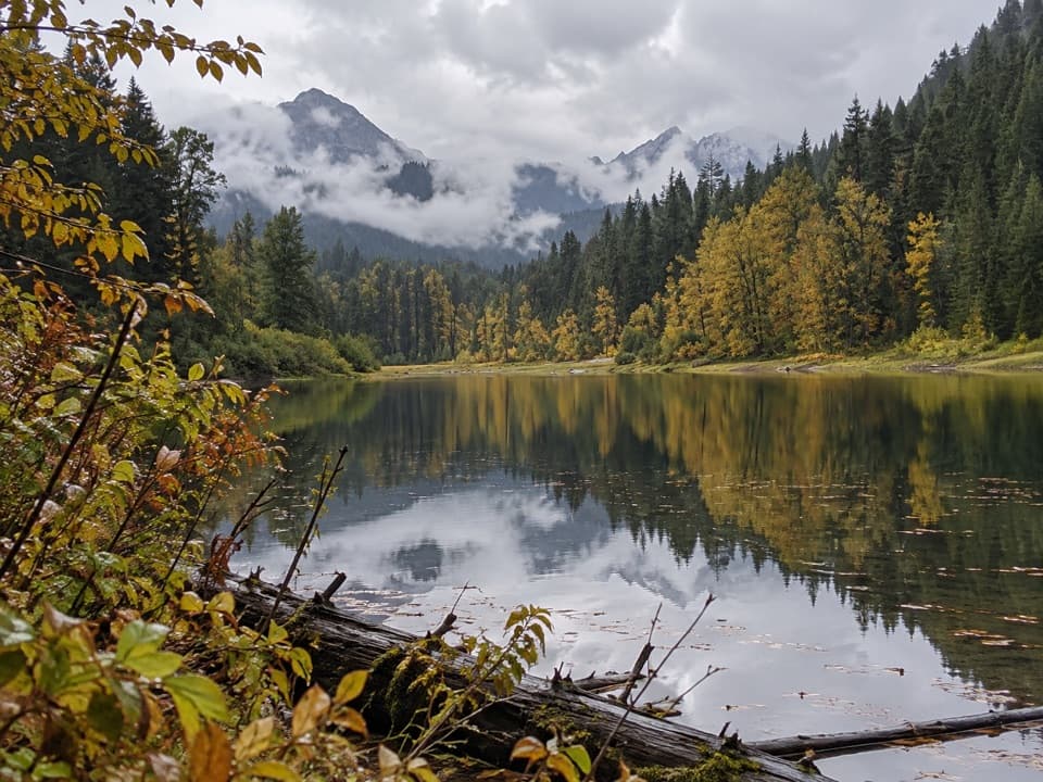 ChallengingWillow Lake Trail50.6 mi · 1.3 days · 0.2 mi awayA remote, roughly 51-mile out-and-back to a marshy lake.
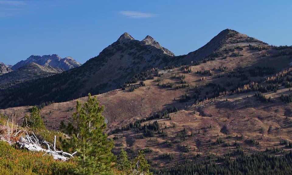 ChallengingDevil's Dome Loop40.4 mi · 1.3 days · 0.2 mi awayFour or five days of open ridges and careful water planning.
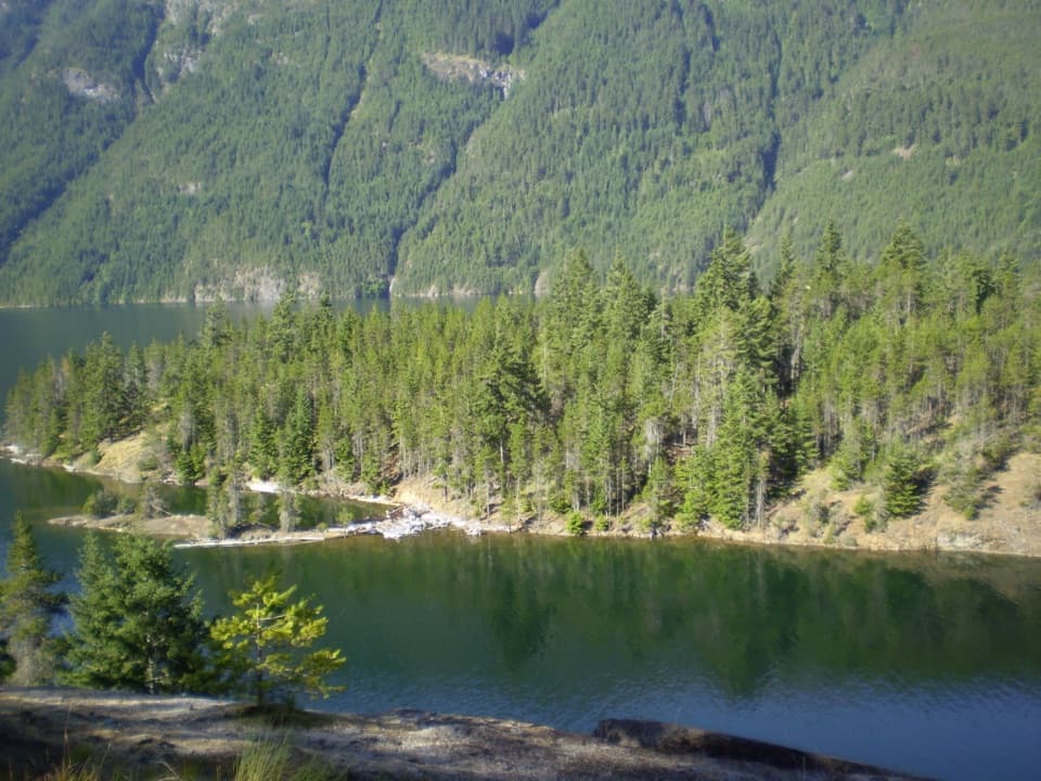 ChallengingEast Bank Trail31 mi · 22 hr · 0.3 mi awayA 31-mile forest and lakeshore traverse to Hozomeen.
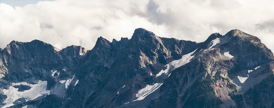 ChallengingLittle Jack Mountain Trail14.3 mi · 10 hr · 0.6 mi awayA long, steep climb to a broad North Cascades ridge view.
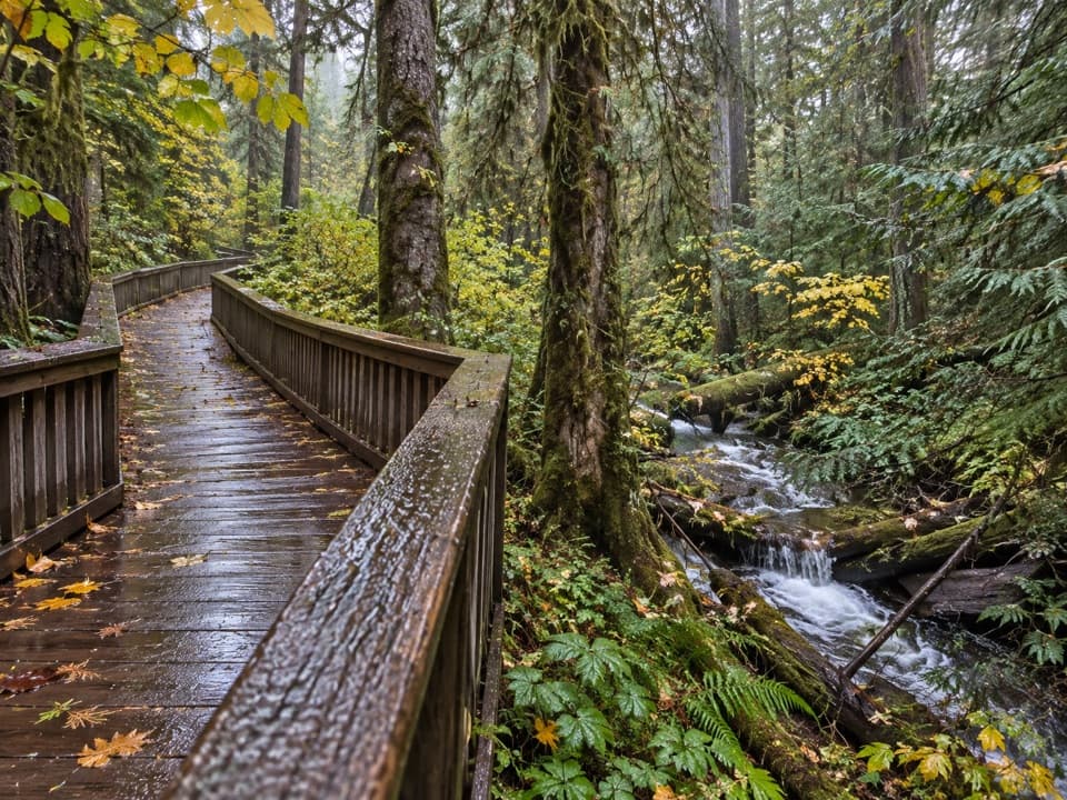 EasyHappy Creek Forest Walk0.3 mi · 15 min · 4.1 mi awayA short boardwalk loop beside Happy Creek and old-growth trees.
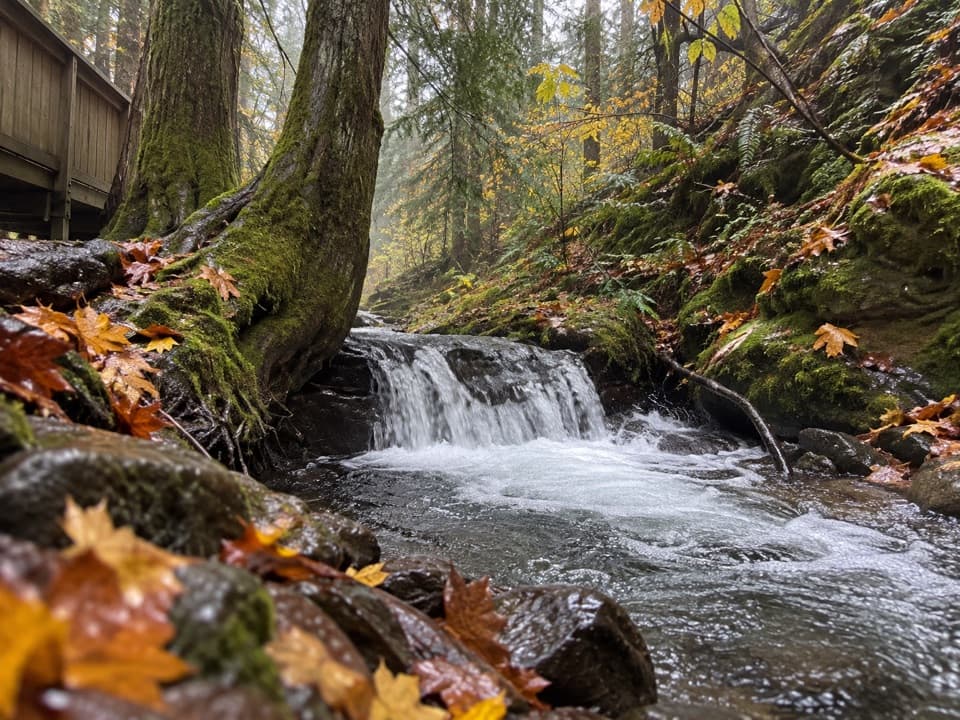 ModerateHappy Creek Falls Trail2.6 mi · 2.5 hr · 4.1 mi awayOld sawmill relics and stepped falls reward a steep creekside climb.
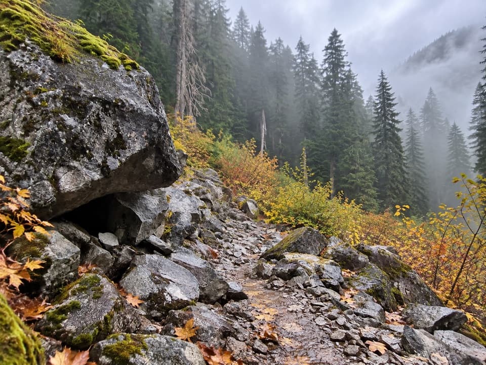 ChallengingBig Beaver Trail24.6 mi · 18 hr · 4.3 mi awayA long valley traverse past ancient cedars and beaver marshes.
 Sight · 3.5 mi awayRoss Lake OverlookA quick Ross Lake view from a wooded Highway 20 pullout.
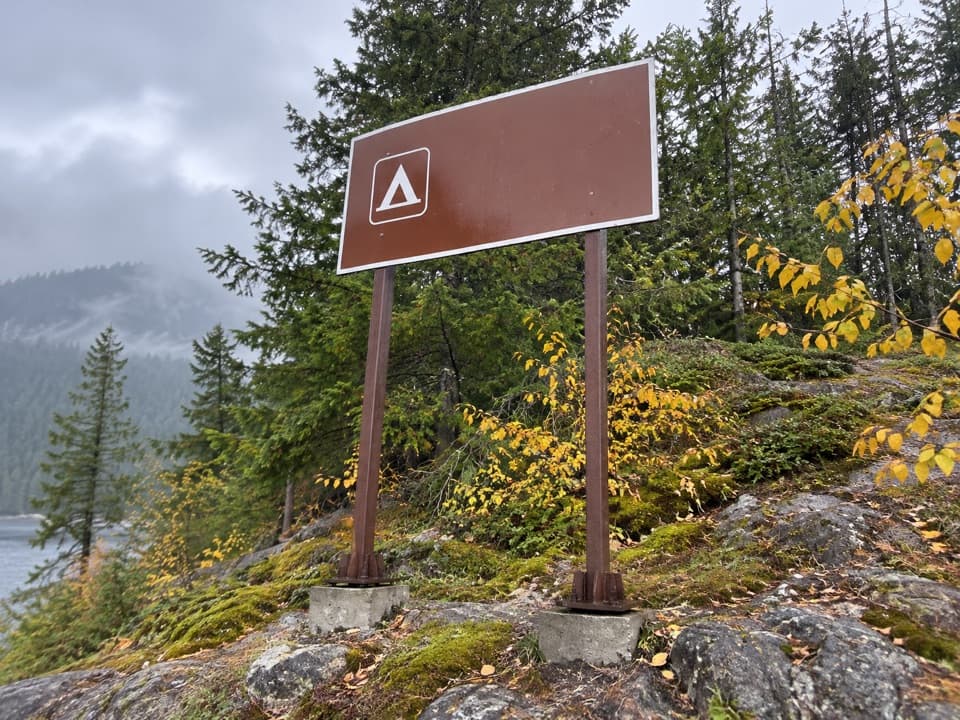 Campground · 4.1 mi awayCougar Island CampTwo island campsites for a self-sufficient night on Ross Lake.
 Campground · 4.3 mi awayGreen Point CampA small boat-in camp for a quiet Ross Lake night.
 Lodging · 4.6 mi awayRoss Lake ResortA floating Ross Lake resort reached by boat or a mile-long hike.
 Sight · 4.7 mi awayRoss DamWalk a concrete dam between Ross Lake and the Skagit gorge.
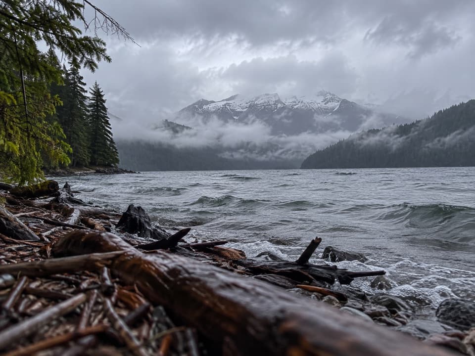 Campground · 4.8 mi awayRoland Point CampA remote boat-in camp tucked into a Ross Lake cove.
 Campground · 5.4 mi awayMcMillan CampA three-site boat-in camp that takes planning to reach.
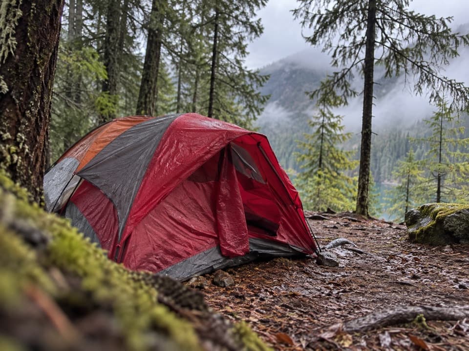 Campground · 5.5 mi awaySpencer’s CampTwo Ross Lake sites and a dock for a self-sufficient night.
Parkwolf’s North Cascades ranking

The audio tour guide for the drive, plus offline maps, trails, and wildlife heatmaps for when the signal drops.




