Parking
From State Route 20 near mile 126, turn toward Diablo. Park beside the river across from the domed swimming pool; the trail begins behind the pool.
#9 of 88 trails in North Cascades
North Cascades National Park, WA
Nearly 5,000 feet of climbing for the Diablo Lake panorama.
Overview
Map & elevation
Plan your hike

The highest, rockiest slopes around here are a summer buffet for grizzly bears.
North Cascades Tour Guide
Parkwolf is a GPS audio tour guide for North Cascades National Park. As you drive, it chimes in with what’s ahead: hidden gems, upcoming stops, history, geology, and wildlife, right through your car’s speakers.
See the North Cascades audio tourRecorded for this trailhead
Diablo and the Sourdough Mountain Climb“Diablo is coming up, where the Sourdough Mountain hike begins. Save that climb for a full mountain day: ten point four miles round trip, about nine hours, and nearly five thousand feet of climbing.”
Plays as you drive up to this trailhead in the Parkwolf North Cascades Tour Guide.
More stories near here in the app
“Fantastic app with many points of information… It’s great to just turn on while you’re driving and it gives you an audio tour of the national Park. We love it!!!!”


Trail guide
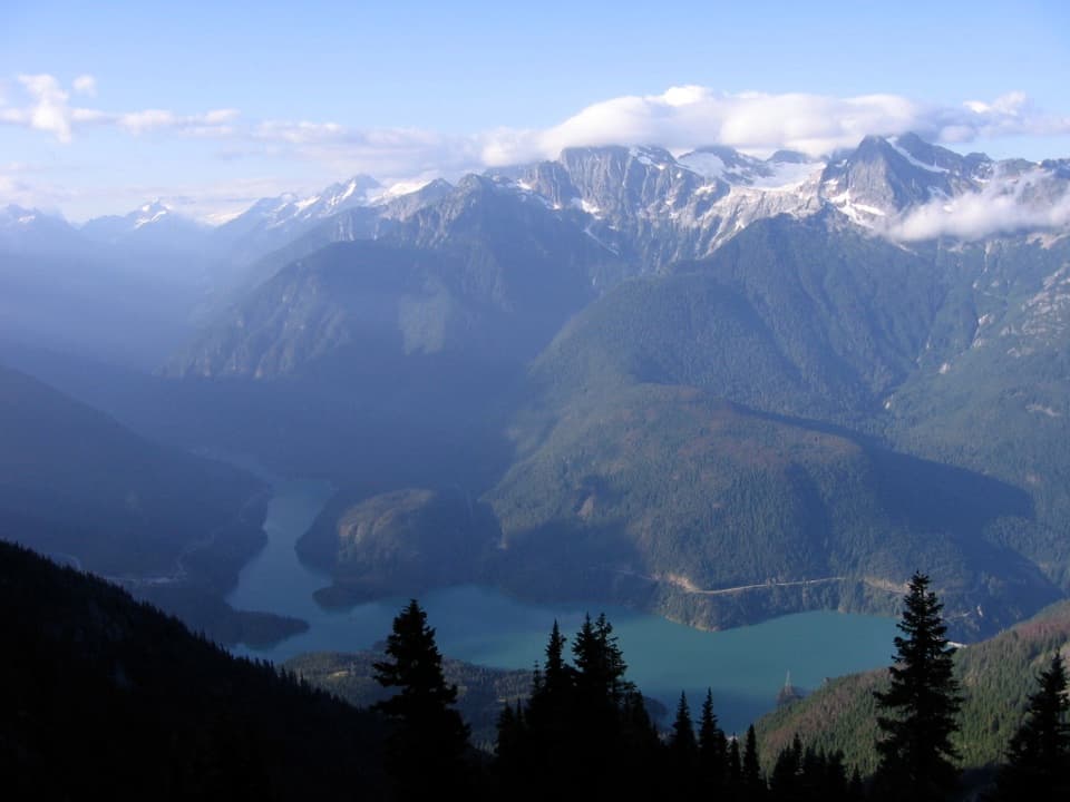
Sourdough Mountain Trail is a 10.4-mile out-and-back from Diablo to the rocky summit lookout, with 4,870 feet of climbing. Allow about nine hours. The route starts climbing almost at once, then trades steep forest switchbacks for subalpine meadow and a high ridge. The payoff is a wide view over Diablo Lake, other lake arms, glaciers and North Cascades peaks. This is a serious all-day effort; the summit panorama is the reason to take it on.
From State Route 20 near mile 126, turn toward the town of Diablo. Park beside the river across from the domed swimming pool; the trail starts behind the pool. The first switchbacks begin quickly, so there is no long approach to warm up on. Day hikers do not need a backcountry permit. Overnight stays do, and camping is limited to the two designated sites along Sourdough Ridge.
The first 3.5 miles climb steeply through forest, with little to no water. The grade is relentless: hikers gain roughly 3,000 feet in the first two miles. The forest thins in places, opening brief looks back toward Diablo, but much of the lower route has little shade. Parts of the slope were affected by fire, and falling trees or limbs are a real concern in this landscape. Take the descent slowly; the long drop back down is hard on knees.
Around 4.2 miles from the trailhead, the grade eases near Sourdough Creek and the small backcountry camp. The creek is the first likely water source, but seasonal flow is unreliable, so do not count on refilling there. Crossing can be hazardous when snow bridges weaken during the melt. Beyond the creek, the route enters subalpine meadows and follows the ridge toward the summit. Wildflowers, birds, small mammals, deer and black bears use this higher terrain. Stay on the trail, rock or snow; the vegetation is fragile.
The rocky summit opens onto a broad panorama, with Diablo Lake far below and peaks and glaciers in every direction. Mount Baker’s volcanic dome is one of the distant landmarks. For a photo, frame the lake low beneath the steep forested slopes; that angle shows how high the trail has climbed. You can reach the historic lookout site, but the building itself is closed to visitors.
Sourdough was among the early Forest Service lookout points established in 1915. Glee Davis built the original lookout in 1917; the present building dates to 1933 and was rehabilitated in 1998–99. The site was chosen to test the Osborne Firefinder, a device that became standard equipment for locating fires. Poets Gary Snyder and Philip Whalen also worked as lookouts here in the 1950s and found inspiration in the mountain.
A backcountry permit is required for any overnight stay. Sourdough Camp and Pierce Mountain Camp each hold no more than four people; fires are prohibited, and hard-sided food canisters are required. Pets are allowed only within Ross Lake National Recreation Area, not at the camps or the lookout summit, so leave them behind for this full route.
Wildlife
 101 sightingsMountain GoatMost seen around 6 PMSighting map
 70 sightingsBlack BearMost seen around 8 PMSighting map
 20 sightingsMule DeerMost seen around 7 PMSighting map
 77 sightingsSooty GrouseMost seen around 6 AMSighting map
 23 sightingsWhite-tailed PtarmiganMost seen around 6 PMSighting map
 75 sightingsWestern ToadMost seen around 8 PMSighting map
Sighting maps show where each species has been reported across North Cascades. Wildlife moves, so no sighting is guaranteed.
Keep exploring
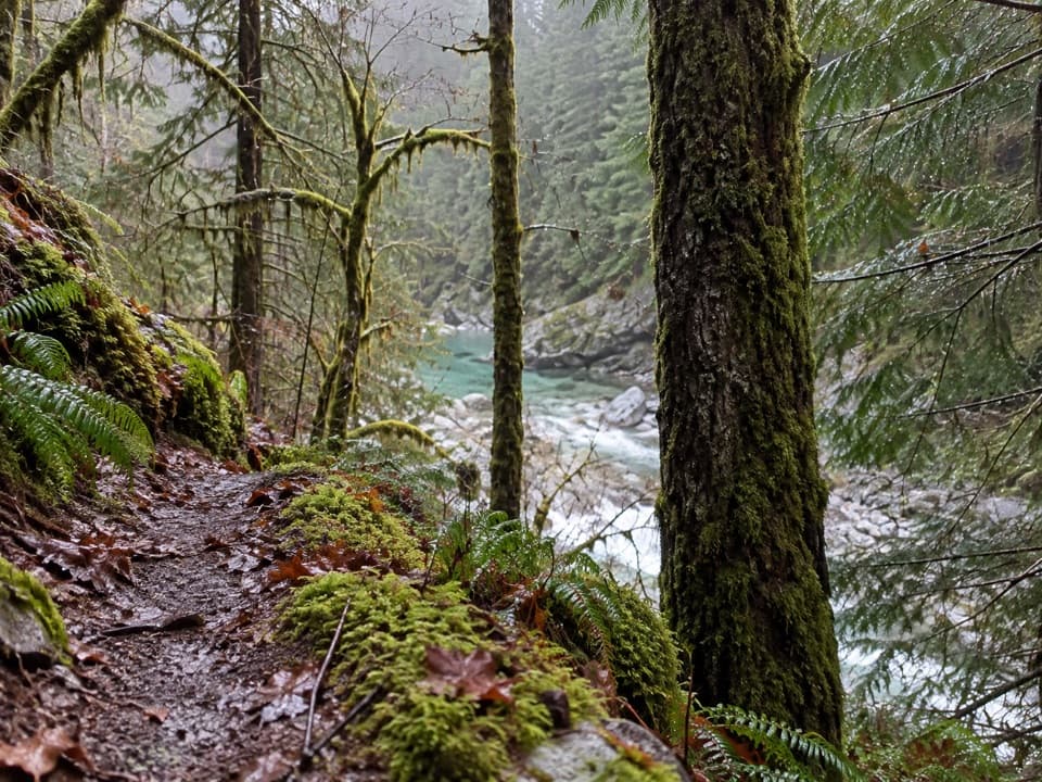 ModerateStetattle Creek Trail6 mi · 3.5 hr · 0.2 mi awayA rocky creekside start opens to a mossy forest traverse.
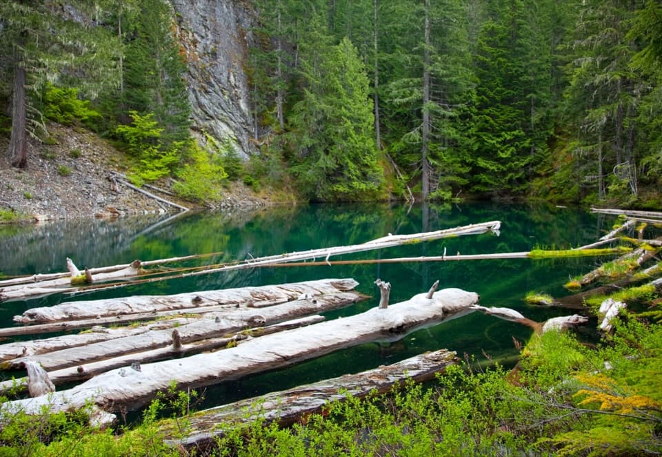 ModeratePyramid Lake Trail4.2 mi · 2.8 hr · 0.6 mi awaySteep miles to a tiny lake threaded with floating logs.
 ModerateDiablo Lake Trail7.6 mi · 4.5 hr · 1.2 mi awayA long forest climb earns a high bridge over Diablo Lake
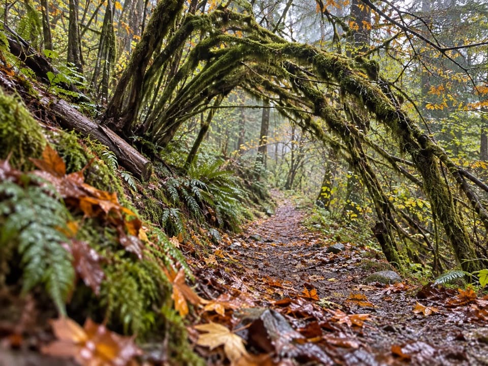 ModerateSourdough Creek Trail3.5 mi · 2.8 hr · 1.3 mi awayA forest path to Sourdough Creek Falls, with a rocky finish.
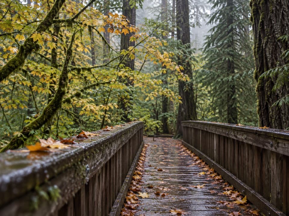 EasyDeer Creek Loop0.3 mi · 15 min · 1.4 mi awayA quarter-mile loop winds beside Deer Creek Shelter.
 ModerateThunder Knob Trail3.8 mi · 2.5 hr · 2.8 mi awayTake the steady climb for broad views over turquoise Diablo Lake.
 EasyGorge Overlook Trail0.5 mi · 45 min · 3.2 mi awayA short loop with a lake, a dam and a waterfall view.
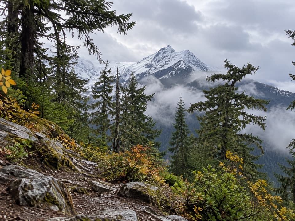 ChallengingFourth of July Pass via Thunder Creek10.4 mi · 7 hr · 3.3 mi awayA shady creek walk gives way to steep climbing and glacier views.
 Campground · 0.3 mi awayGorge Lake CampgroundEight simple sites, a lakeside launch, and a night by the water.
 Sight · 0.7 mi awayDiablo DamA public road crosses the 389-foot dam beside Diablo Lake.
 Sight · 1.3 mi awayNorth Cascades Environmental Learning CenterBook a program for lakeside learning, meals and trail days.
 Campground · 2 mi awayThunder Point CampA quiet three-site boat-in camp on Diablo Lake.
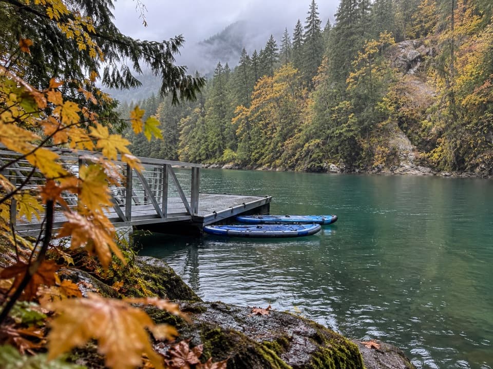 Campground · 2.1 mi awayHidden Cove CampA single-site camp with a sheltered dock, reached only by boat.
 Campground · 2.1 mi awayBuster Brown CampA lake camp reached by water, with its own boat dock.
 Sight · 2.3 mi awayDiablo Lake OverlookA quick roadside view of glacial turquoise beneath the Cascades.
 Sight · 2.4 mi awaySourdough Mountain LookoutA historic fire lookout crowns a demanding climb above Diablo Lake.
Parkwolf’s North Cascades ranking

The audio tour guide for the drive, plus offline maps, trails, and wildlife heatmaps for when the signal drops.



