Parking
Start at Rosedale Abbey village green (SE 725 960); arrange parking in the village and walk to the green. Toilets and refreshments are in the village, with Dale Head Farm partway round.
#12 of 126 trails in North York Moors
North York Moors National Park, EN
Priory ruins, dale farms and an old ironstone railway: 12 km loop
Overview
Map & elevation
Plan your hike

The highest, rockiest slopes around here are a summer buffet for grizzly bears.
North York Moors Tour Guide
Parkwolf is a GPS audio tour guide for North York Moors National Park. As you drive, it chimes in with what’s ahead: hidden gems, upcoming stops, history, geology, and wildlife, right through your car’s speakers.
Recorded for this trailhead
Rosedale Abbey Village“You're coming up on Rosedale Abbey, a small village beside the River Seven with pubs and tearooms around its green.”
Plays as you drive up to this trailhead in the Parkwolf North York Moors Tour Guide.
More stories near here in the app
“Fantastic app with many points of information… It’s great to just turn on while you’re driving and it gives you an audio tour of the national Park. We love it!!!!”


Trail guide
A circular loop of 7.5 miles (12 km) starting and finishing at Rosedale Abbey village green, grid reference SE 725 960. The distance is for the complete circuit, not one way. Allow about 5 hours at an ordinary visitor pace, which accounts for gates, farm crossings, route-finding and stops.
The walk opens gently through the churchyard and the remains of the medieval priory, then heads out along valley farmland and the hamlet of Thorgill. Farm lanes and field paths lead you steadily into the upper dale, where the enclosed pasture gives way to a wide, open head-of-valley view. The return is the highlight: the trackbed of the old Rosedale mineral railway, a level, elevated shelf that carries you back above the dale past the ruined ironstone roasting kilns, then down via the campsite to the green.
Moderate, roughly 5 out of 10 in practical terms. Around 157 m of ascent, spread rather than concentrated, with no technical ground.
Carry a map and be comfortable following field paths and waymarks, since the middle section crosses working farmland rather than an obvious made path.
Rosedale was a serious ironstone district. The railway was built in the 1860s to move ore off the moor, and the lower line served the kilns where ore was roasted before shipping. The kiln ruins are the most striking industrial remains on the walk, sitting against open moorland edge. Do not enter or climb on the ruined kiln buildings, as parts of the old industrial area are dangerous. View them from the track.
Start from the village green as a public visitor route. Refreshments and toilets are available in Rosedale Abbey, and Dale Head Farm is a mid-route refreshment option, which makes a natural break before the railway return.
Dogs are welcome with rules that matter here:
If 5 hours is too much, a short out-and-back along the old railway from the village side gives you the kiln views and the open dale outlook without the farmland circuit, then simply retrace your steps.
Wildlife
 15 sightingsEurasian OtterMost seen around 7 PMSighting map
 10 sightingsRed DeerMost seen around 7 AMSighting map
 79 sightingsGrey SealMost seen around noonSighting map
 26 sightingsWestern Barn OwlMost seen around 7 PMSighting map
 33 sightingsEuropean BadgerMost seen around 7 PMSighting map
 10 sightingsMute SwanMost seen around noonSighting map
Sighting maps show where each species has been reported across North York Moors. Wildlife moves, so no sighting is guaranteed.
Keep exploring
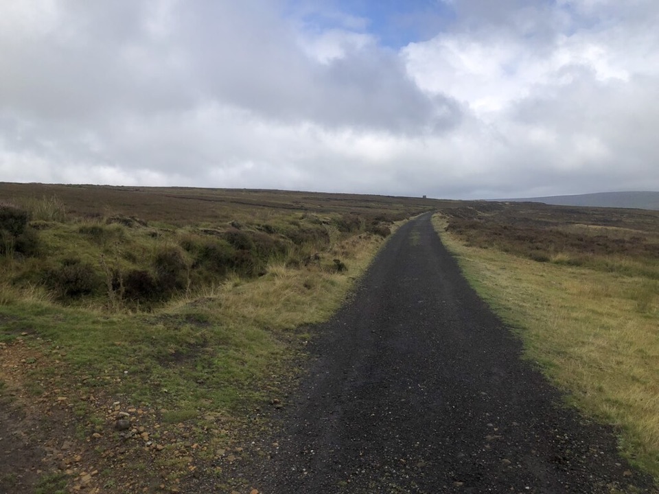
ModerateRosedale Abbey and Blakey Ridge Circular Walk10 km · 3.8 hr · At the trailheadRiverside fields climb to an old ironstone railway high above Rosedale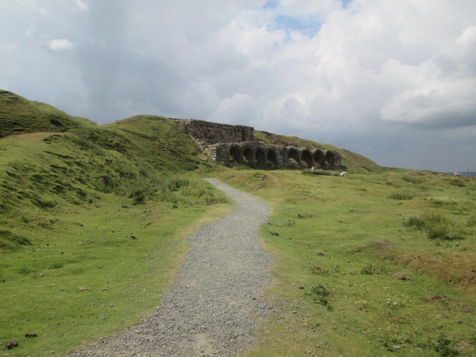 EasyMiles without Stiles (For many) - Rosedale Mineral Railway2 km · 1 hr · 0.9 km awayLevel cinder railway past ironstone kilns to a bench above Rosedale
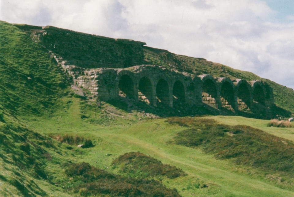 ModerateMiles without Stiles (For some) - Rosedale Railway and Kilns14.6 km · 3.9 hr · 5.1 km awayNine level miles of old railway to Rosedale's 16-arch ironstone kilns
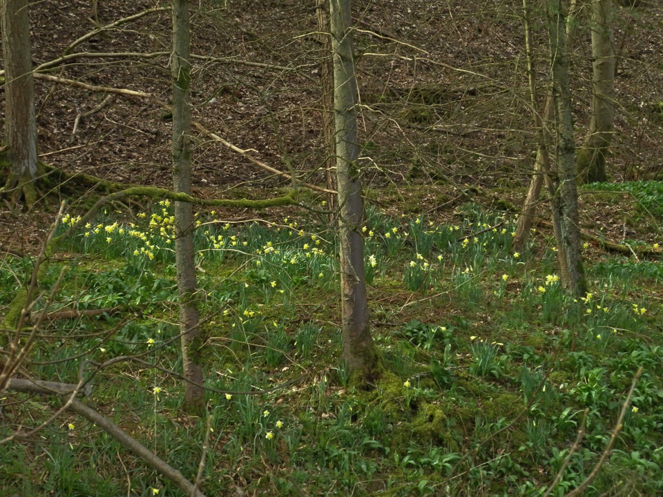 EasyFarndale Daffodil Walk5.6 km · 2 hr · 5.2 km awayWild daffodils line the River Dove on an easy 3.5-mile dale loopEasyMiles without Stiles (For some) - Farndale Daffodil Walk6 km · 1.6 hr · 5.2 km awaySurfaced riverside walk to Church Houses through wild daffodil meadows
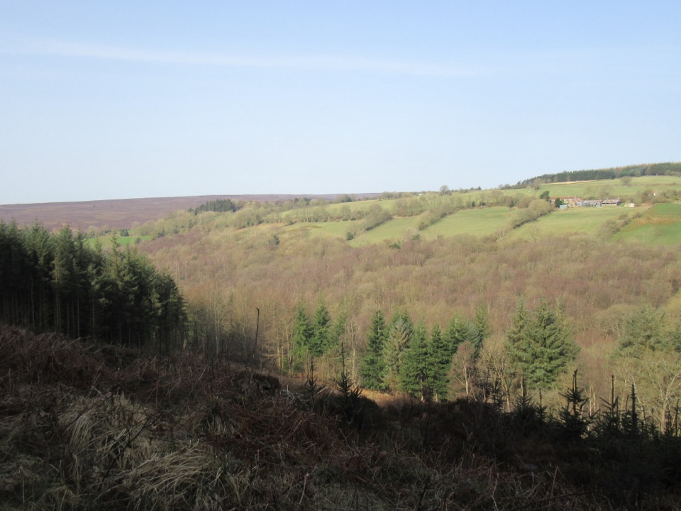 EasyCropton Forest Ramble4.5 km · 1.3 hr · 5.3 km awayPine plantation and woodland heath on a red-waymarked forest loop
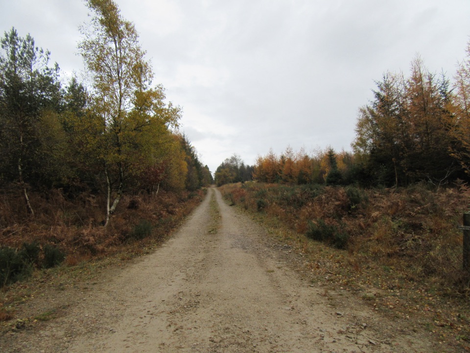 EasyLittle Beck Walk1.6 km · 45 min · 5.3 km awayGreen waymarkers lead a gentle mile through conifers to Little Beck.
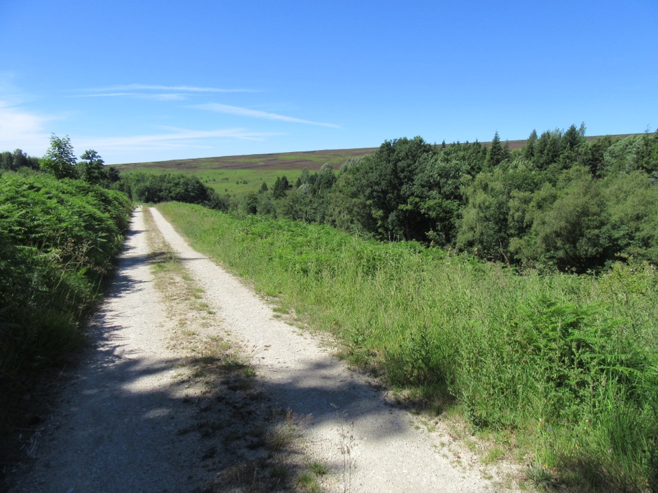 EasySpiers Bank Walk4.8 km · 1.5 hr · 5.3 km awayGravel forest roads climb to open heather and Rosedale valley views
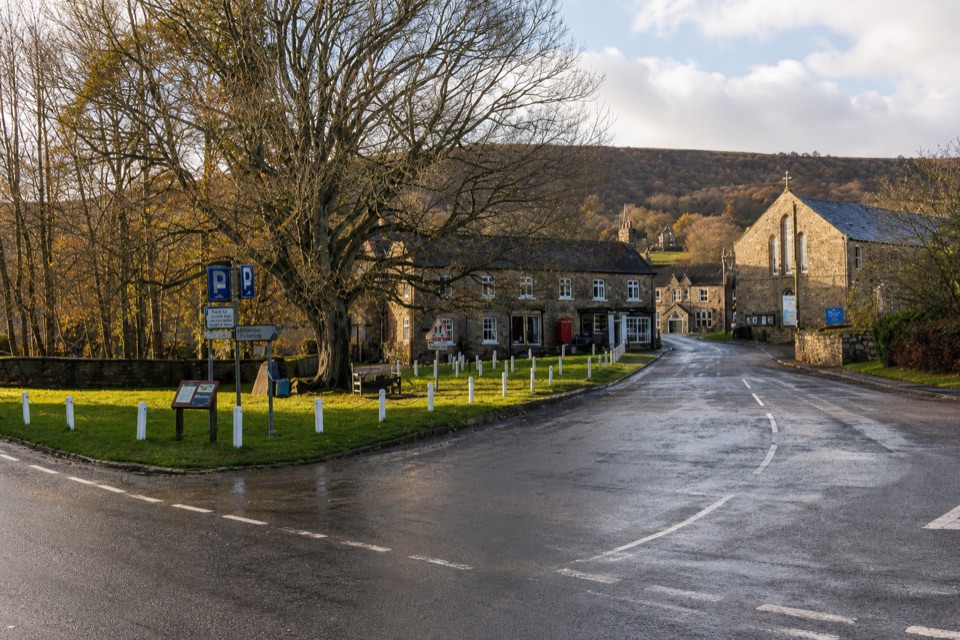 Sight · At the trailheadRosedale AbbeyGreen-centred dale village with ironstone kilns and moorland walks
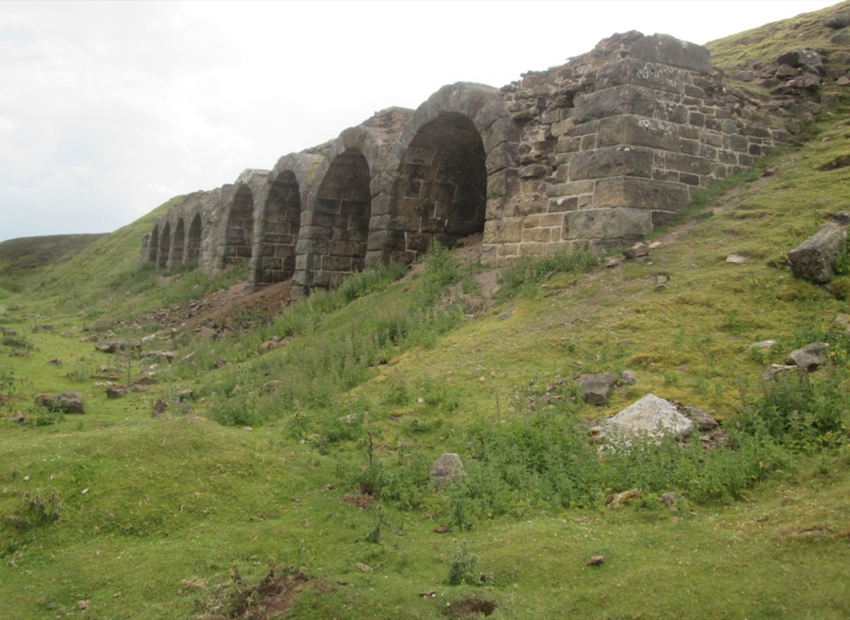 Sight · 1.1 km awayBank Top KilnsVictorian ironstone roasting arches standing open on the Rosedale moor
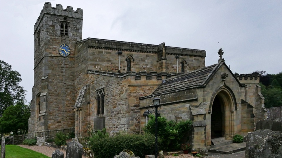 Sight · 5.5 km awaySt Mary's Church, LastinghamA rare double-aisled Norman crypt beneath a moor-edge village church
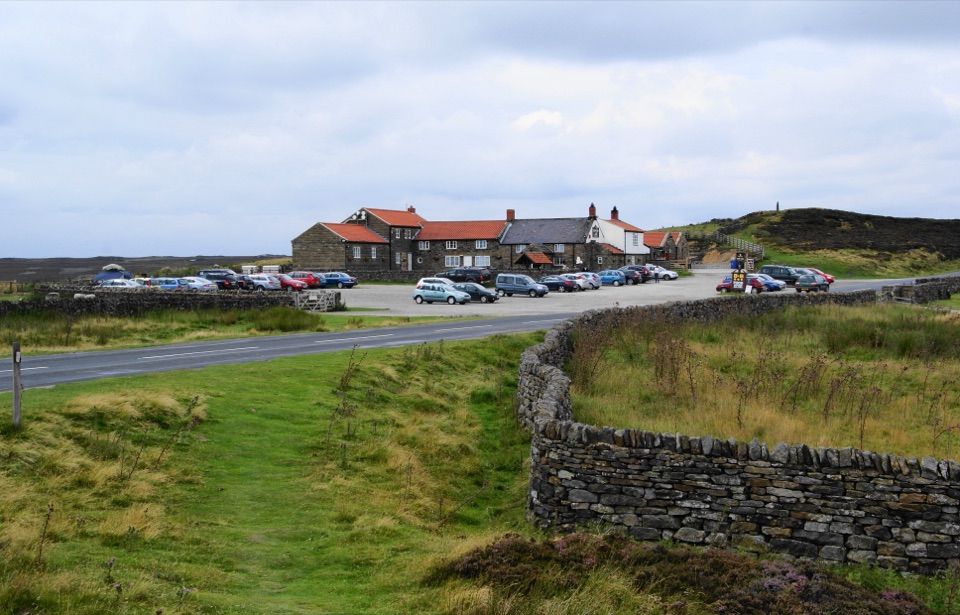 Restaurant · 5.9 km awayThe Lion Inn, Blakey RidgeOpen fires and vast moorland views at a 16th-century ridge-top freehouse
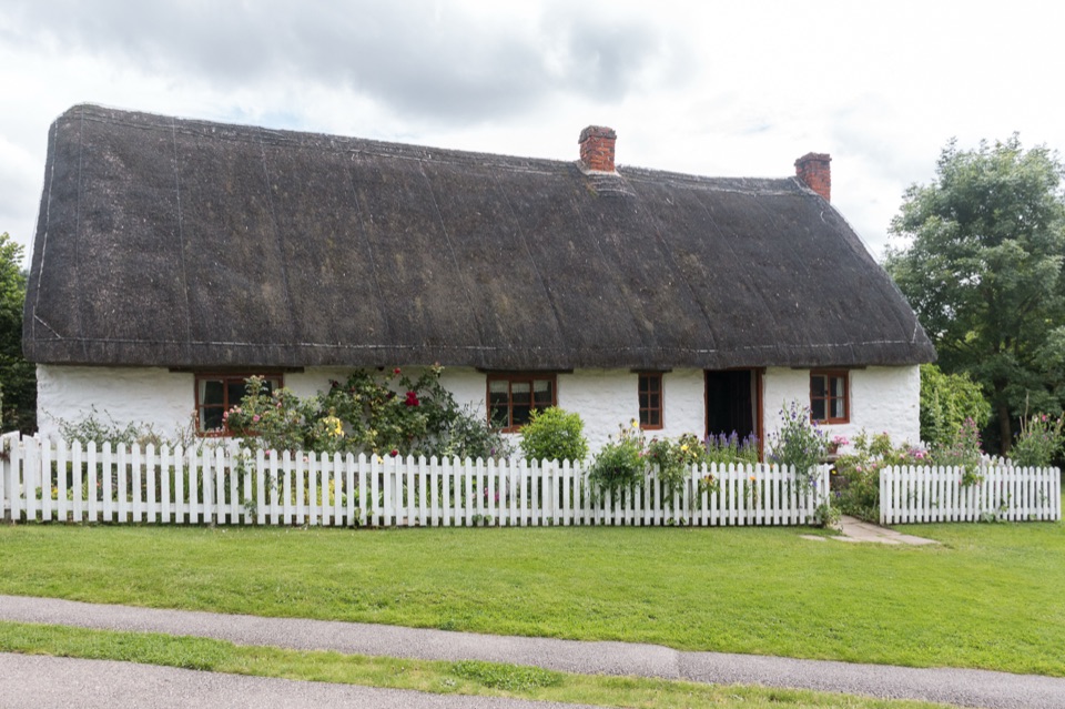 Sight · 6 km awayRyedale Folk MuseumRebuilt dales cottages and workshops you can walk right into
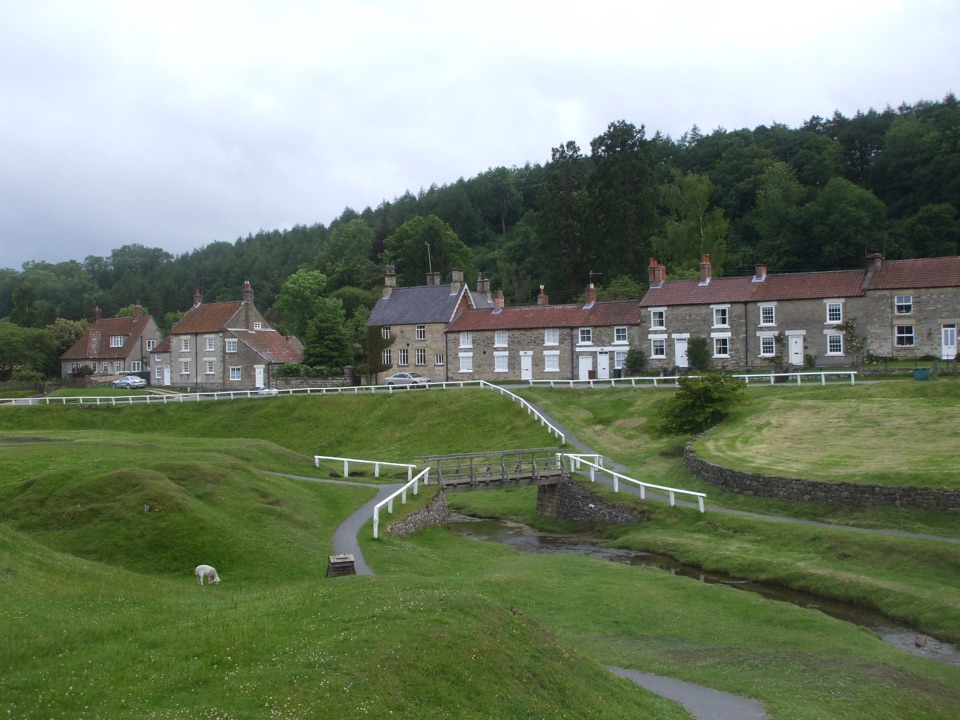 Sight · 6.2 km awayHutton-le-HoleHutton-le-Hole: clear moorland beck threading a broad, sheep-cropped green
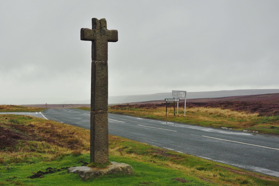 Sight · 7.7 km awayYoung Ralph CrossThe park's emblem in stone, alone on high open moorland
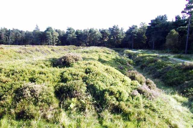 Sight · 8.3 km awayCawthorn Roman CampsMile-long walk around four Roman earthworks with wide moorland views.
Parkwolf’s North York Moors ranking

The audio tour guide for the drive, plus offline maps, trails, and wildlife heatmaps for when the signal drops.





