Parking
Forest Holidays Keldy, Cropton, Pickering, YO18 8ES. Car parking is free; follow the blue waymarkers from the Keldy site.
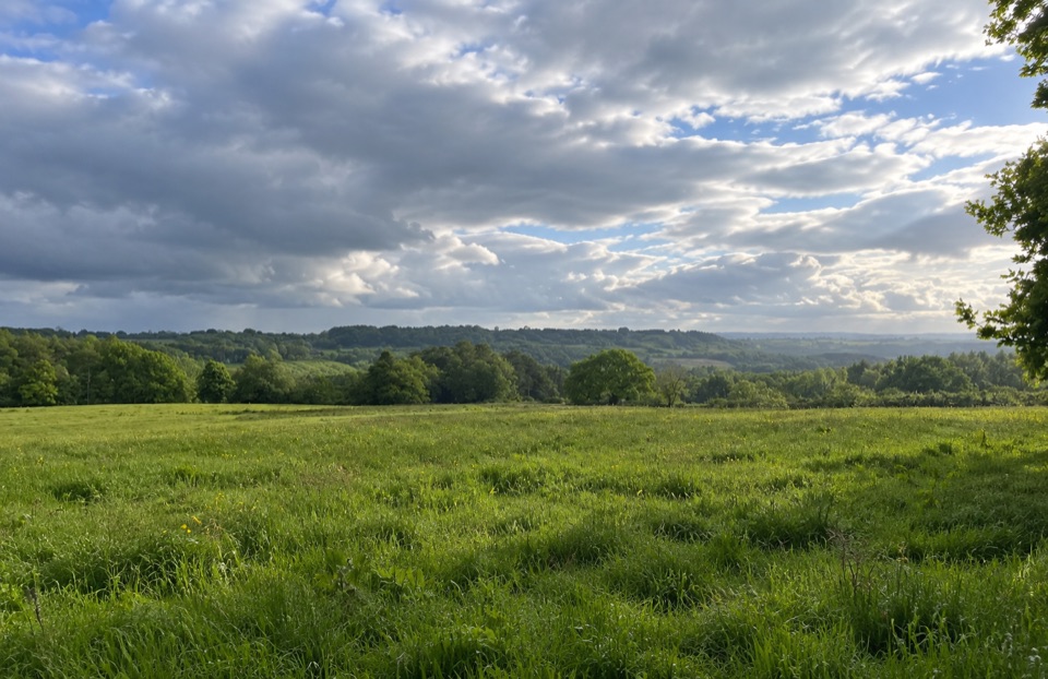
North York Moors National Park, EN
Steady climb to Vale of Pickering views, then an easy return
Overview
A closed loop of 2.3 km / 1.5 miles, starting and finishing at Forest Holidays Keldy by the Forest Hub. There is no return leg to add on, and no need to retrace your steps. Follow the blue waymarkers the whole way round.
Map & elevation
Plan your hike

The highest, rockiest slopes around here are a summer buffet for grizzly bears.
North York Moors Tour Guide
Parkwolf is a GPS audio tour guide for North York Moors National Park. As you drive, it chimes in with what’s ahead: hidden gems, upcoming stops, history, geology, and wildlife, right through your car’s speakers.
Recorded for this area
The Beavers That Slowed a Beck“In Cropton Forest, two beavers were released into a fenced woodland site in 2019 to test an idea about flooding. People had already built wooden barriers along Sutherland Beck to slow water heading toward Pickering.”
Plays on the road 1.4 km from the trailhead in the Parkwolf North York Moors Tour Guide.
More stories near here in the app
“Fantastic app with many points of information… It’s great to just turn on while you’re driving and it gives you an audio tour of the national Park. We love it!!!!”


Trail guide
The walk begins with a steady climb out of the valley, gaining roughly 55 metres from about 150 m to a high point near 205 m. That pull is the main effort of the day and it comes early. The reward is at the top, where the trees give way and the view opens out across the Vale of Pickering. From there the route eases downhill through mixed forest and open habitat, then joins the Easy Access Trail for the final stretch back to the Forest Hub.
Short but not flat. Most reasonably fit walkers will finish in 45 to 60 minutes at a relaxed pace, longer if you stop for the view.
The interest here is the contrast: enclosed conifer sections, then patches of open habitat where the sky and the Vale come into view. Look for signs of badger and deer where the path crosses open ground, worn tracks, scrapes and prints in soft earth. Deer are most likely to show themselves early and late in the day, which is also when the light on the open ground and the Vale view is at its best. If you only take one photo, take it from the high point.
Dogs are welcome on this forest walk under control. Keep them close and in sight, use a lead if recall is unreliable, and make sure they cannot chase people, livestock or wildlife.
The trailhead is at Forest Holidays Keldy, Cropton, Pickering, YO18 8ES, with short access connectors linking the car parking area to the waymarked loop. Parking is free, but there are no designated accessible parking spaces. Fires, barbecues and stoves are not permitted anywhere in the forest because of the high fire risk, so plan a cold picnic if you want to eat at the top.
The nearby Red Walk stays more consistently wooded, so it suits anyone who would rather have trees than an open viewpoint. Take this loop if the view over the Vale is the point of the walk.
Wildlife
 15 sightingsEurasian OtterMost seen around 7 PMSighting map
 10 sightingsRed DeerMost seen around 7 AMSighting map
 79 sightingsGrey SealMost seen around noonSighting map
 26 sightingsWestern Barn OwlMost seen around 7 PMSighting map
 33 sightingsEuropean BadgerMost seen around 7 PMSighting map
 10 sightingsMute SwanMost seen around noonSighting map
Sighting maps show where each species has been reported across North York Moors. Wildlife moves, so no sighting is guaranteed.
Keep exploring
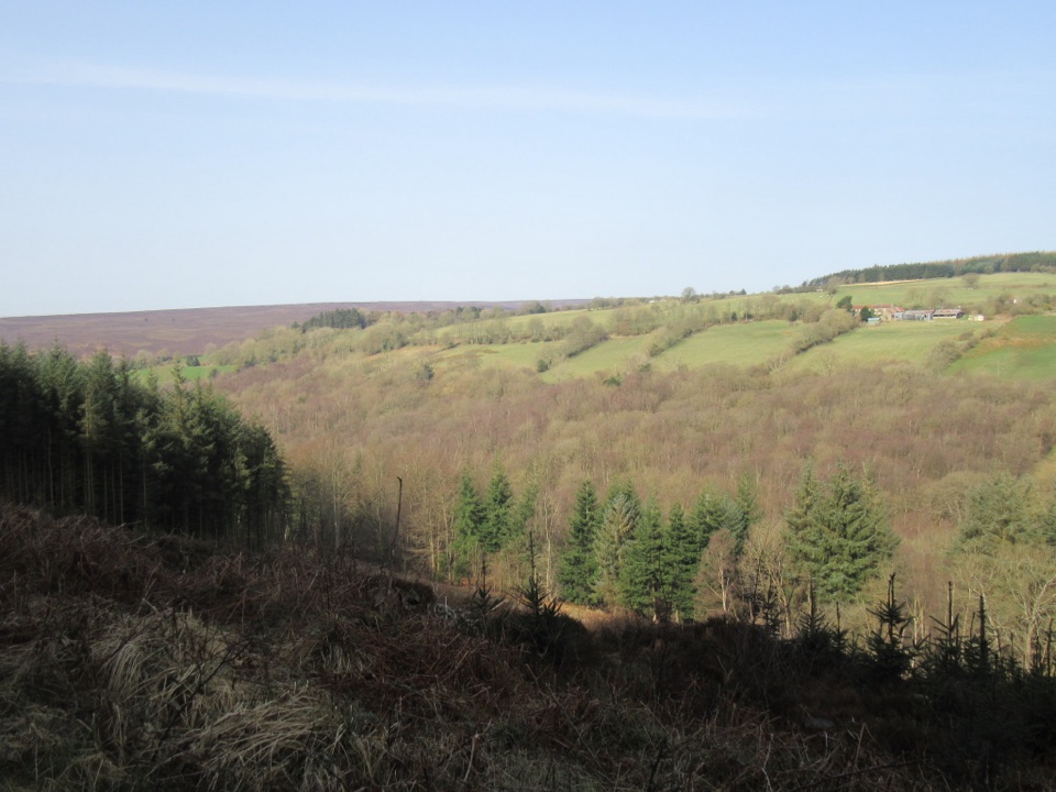 EasyCropton Forest Ramble4.5 km · 1.3 hr · 2 km awayPine plantation and woodland heath on a red-waymarked forest loop
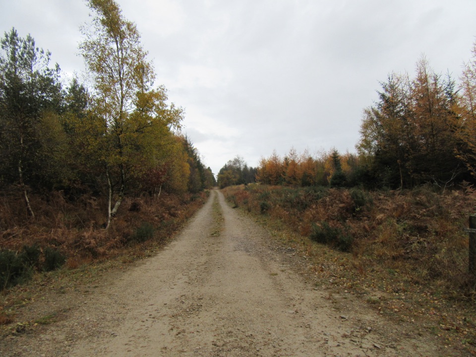 EasyLittle Beck Walk1.6 km · 45 min · 2 km awayGreen waymarkers lead a gentle mile through conifers to Little Beck.
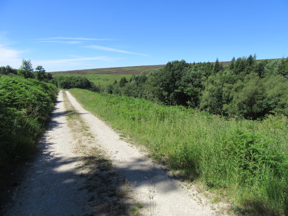 EasySpiers Bank Walk4.8 km · 1.5 hr · 2 km awayGravel forest roads climb to open heather and Rosedale valley views
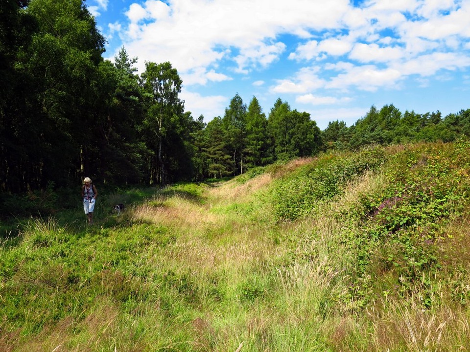 EasyCawthorn Roman Camps Circular1.6 km · 45 min · 2 km awayA mile of Roman earthworks, easy paths and a wide moorland viewpoint
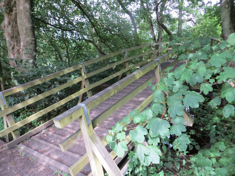 ModerateCropton Round Walk7.1 km · 2.5 hr · 3.4 km awayField paths, winding river and woodland circuit from Cropton village
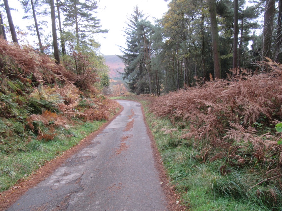 ModerateNewtondale9.7 km · 3 hr · 4.1 km awaySix miles of forest tracks and dale views above a steam railway
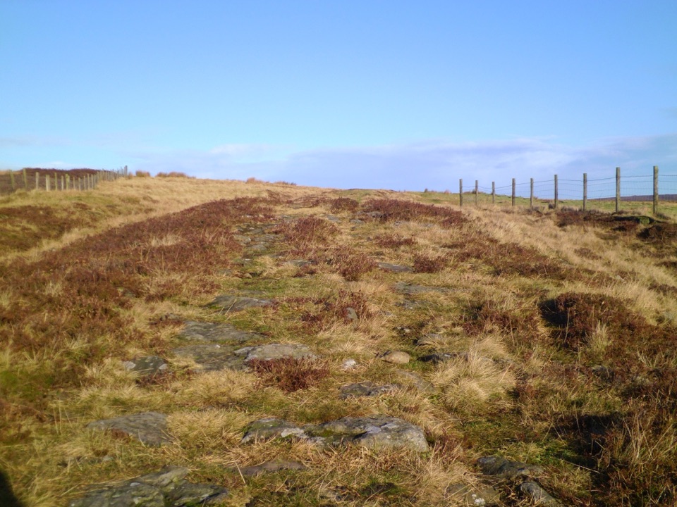 ModerateWheeldale Moor Circular18.2 km · 6 hr · 5.7 km awayForest tracks then four miles of open, boggy moor past boundary stones
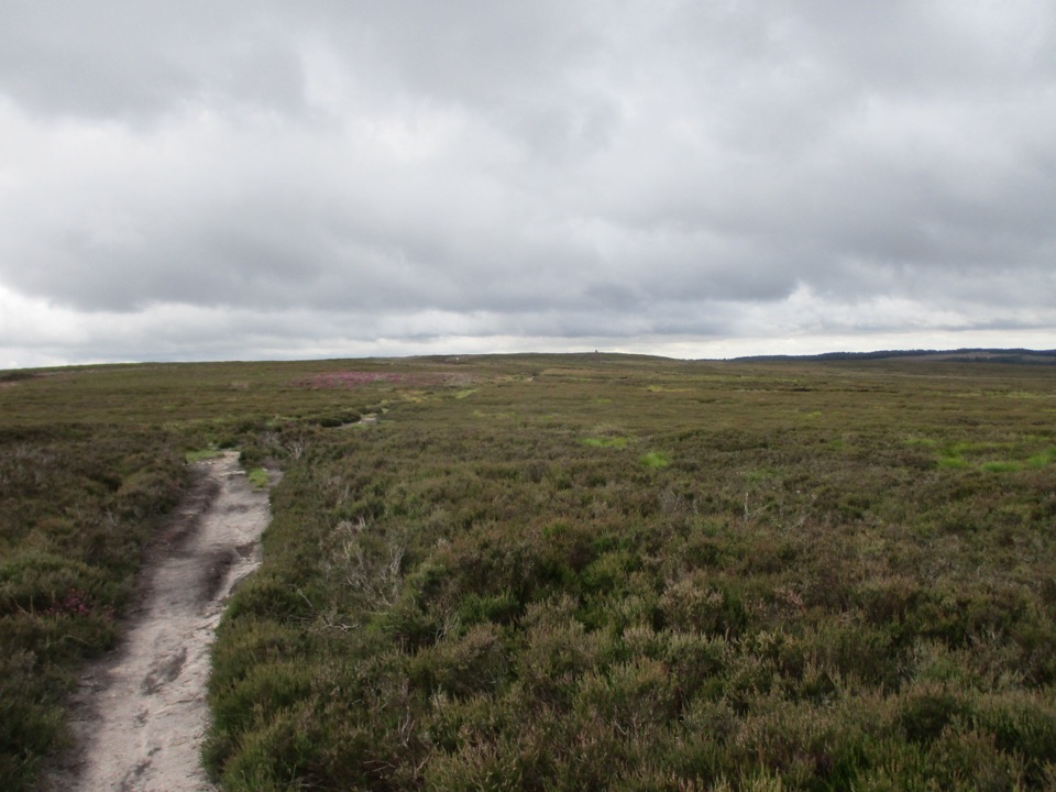 ModerateNewtondale Halt to Goathland Station Walk10.8 km · 3.5 hr · 6.6 km awayRide the rails in, walk out over heather moorland to Goathland
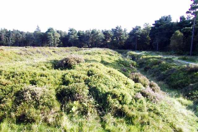 Sight · 1.7 km awayCawthorn Roman CampsMile-long walk around four Roman earthworks with wide moorland views.
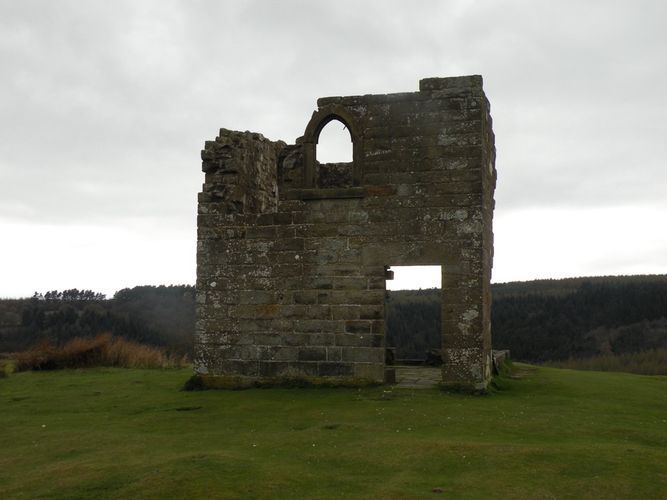 Sight · 4.5 km awaySkelton TowerRuined 1830s shooting lodge perched high above Newtondale's steam railway
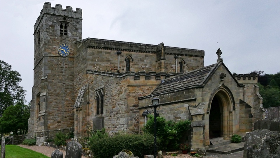 Sight · 5 km awaySt Mary's Church, LastinghamA rare double-aisled Norman crypt beneath a moor-edge village church
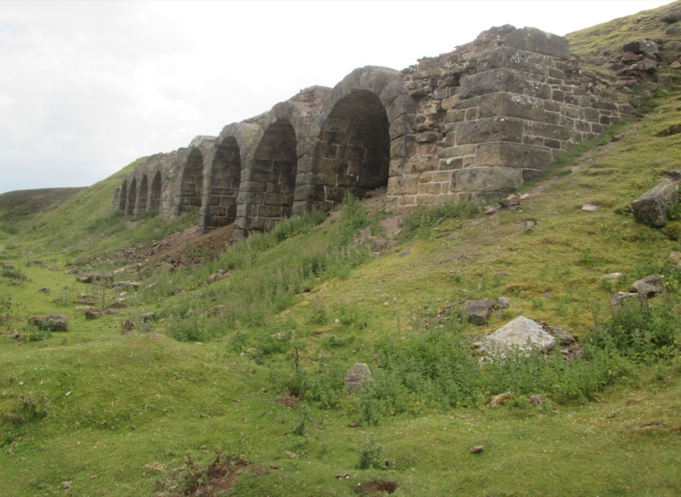 Sight · 6.5 km awayBank Top KilnsVictorian ironstone roasting arches standing open on the Rosedale moorSight · 6.8 km awayWheeldale Roman RoadAncient stone causeway over heather moor, its builders still debated
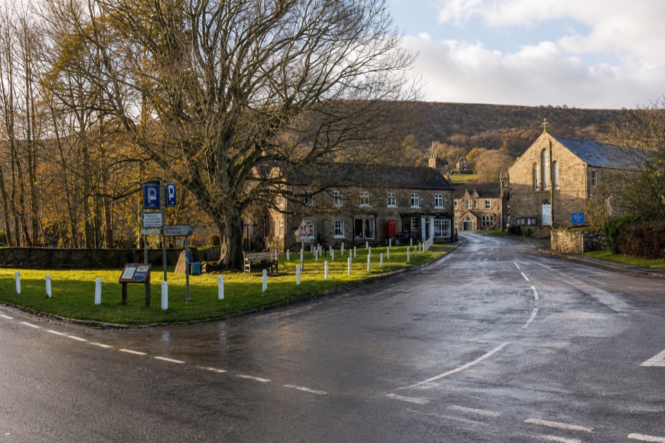 Sight · 6.9 km awayRosedale AbbeyGreen-centred dale village with ironstone kilns and moorland walks
 Sight · 7.1 km awayHole of HorcumA 400-foot heather amphitheatre with a short accessible view platform
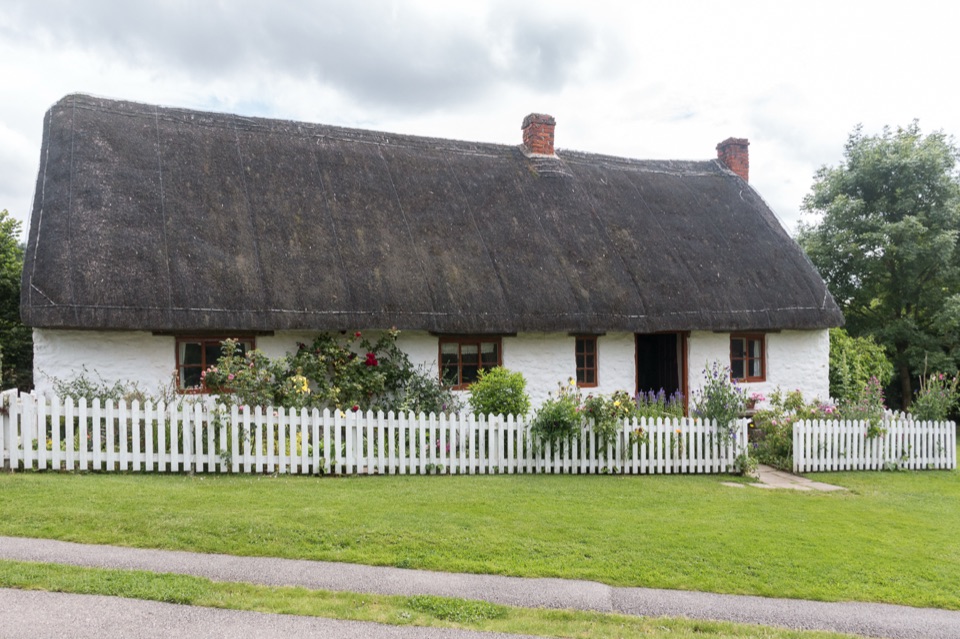 Sight · 7.2 km awayRyedale Folk MuseumRebuilt dales cottages and workshops you can walk right into
Parkwolf’s North York Moors ranking

The audio tour guide for the drive, plus offline maps, trails, and wildlife heatmaps for when the signal drops.





