Parking
Cawthorn Roman Camps car park, reached from the A170 via Middleton Road and Swainsea Lane and Swainsea Lane's signed unsealed track; around 20 spaces, including a disabled bay, with parking charges.
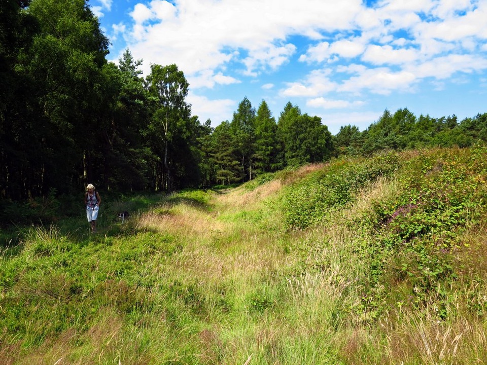
North York Moors National Park, EN
A mile of Roman earthworks, easy paths and a wide moorland viewpoint
Overview
A circular walk from the Cawthorn Roman Camps car park, rounded by visitor information to 1 mile (1.6 km); the mapped track, a closed loop with a short spur to the viewing platform, measures about 1.03 miles (1.7 km). Allow 25 to 45 minutes, or around three quarters of an hour at a relaxed pace with stops to read the panels and look out over the moors.
Map & elevation
Plan your hike

The highest, rockiest slopes around here are a summer buffet for grizzly bears.
North York Moors Tour Guide
Parkwolf is a GPS audio tour guide for North York Moors National Park. As you drive, it chimes in with what’s ahead: hidden gems, upcoming stops, history, geology, and wildlife, right through your car’s speakers.
Recorded for this trailhead
Cawthorn Roman Camps“You're approaching the access for Cawthorn Roman Camps; the earthworks are farther along the signed track.”
Plays as you drive up to this trailhead in the Parkwolf North York Moors Tour Guide.
More stories near here in the app
“Fantastic app with many points of information… It’s great to just turn on while you’re driving and it gives you an audio tour of the national Park. We love it!!!!”


Trail guide
Start at the information panel beside the disabled bay, where the firm aggregate path leads into the woodland. Follow the carved Roman-soldier marker posts, which guide the loop around the earthworks left by fortifications built here nearly 2,000 years ago. Partway round, a short spur runs out to the viewing platform, with seats and a broad outlook across the surrounding country. Return to the spur junction and complete the loop back to the car park.
This is an easy walk with no steps or stiles. Most of it runs on hard, compacted crushed aggregate and is broadly level with gentle gradients; the route elevation range is about 171 m to 197 m, and only about 1 m of ascent is reported. One short undulating section crosses grass, and that stretch is the weak link for accessibility, particularly after rain when it can be soft or wet. The marked alternative to the viewing platform can avoid the short grass section, although wet conditions can still affect accessibility.
The site sits high and open, so the viewing platform and the more exposed parts of the loop are often windy and can feel chilly even when conditions elsewhere are mild. A windproof layer is worth carrying whatever the season, and the walk is short enough that most visitors will not need more than that.
Dogs are welcome under control and preferably on a short fixed lead. The camps are a protected monument, so keep to the marked path throughout and avoid walking on or scrambling over the banks and ditches, which are the whole point of the visit and are easily damaged.
The car park is reached from the A170 by way of Middleton Road and Swainsea Lane, then a turn onto an unsealed track signed for Cawthorn Roman Camps. Around 20 spaces are reported, including a disabled bay, and parking charges apply. There are no toilets or refreshments at the site: the nearest toilets and the widest choice of refreshments are in Pickering, with closer options at Cropton and Newton upon Rawcliffe.
This loop is a short heritage and viewpoint walk rather than a workout. Longer routes of roughly 10 to 13 miles in Cropton Forest and the Tabular Hills also pass the camps, but they are a separate undertaking with their own navigation and surfaces. Choose one of those deliberately rather than trying to extend this loop on the ground.
Wildlife
 15 sightingsEurasian OtterMost seen around 7 PMSighting map
 10 sightingsRed DeerMost seen around 7 AMSighting map
 79 sightingsGrey SealMost seen around noonSighting map
 26 sightingsWestern Barn OwlMost seen around 7 PMSighting map
 33 sightingsEuropean BadgerMost seen around 7 PMSighting map
 10 sightingsMute SwanMost seen around noonSighting map
Sighting maps show where each species has been reported across North York Moors. Wildlife moves, so no sighting is guaranteed.
Keep exploring
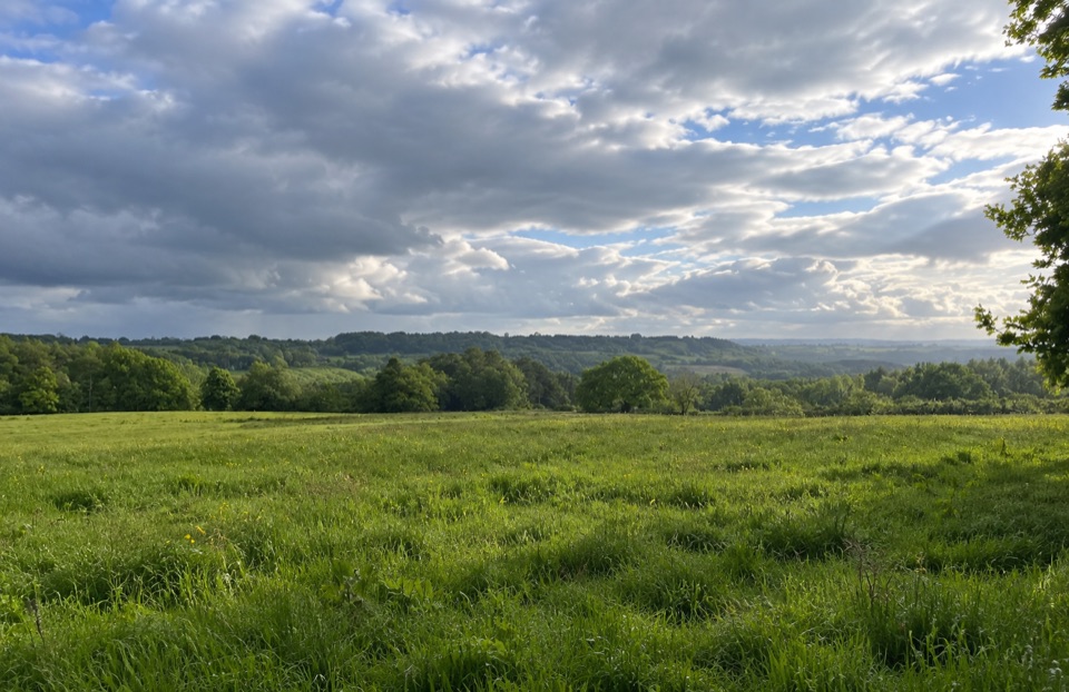 EasyParadise Walk at Cropton Forest2.4 km · 54 min · 2 km awaySteady climb to Vale of Pickering views, then an easy return
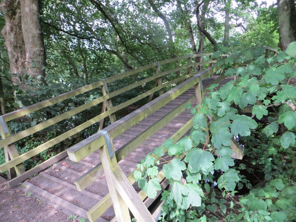 ModerateCropton Round Walk7.1 km · 2.5 hr · 2.8 km awayField paths, winding river and woodland circuit from Cropton village
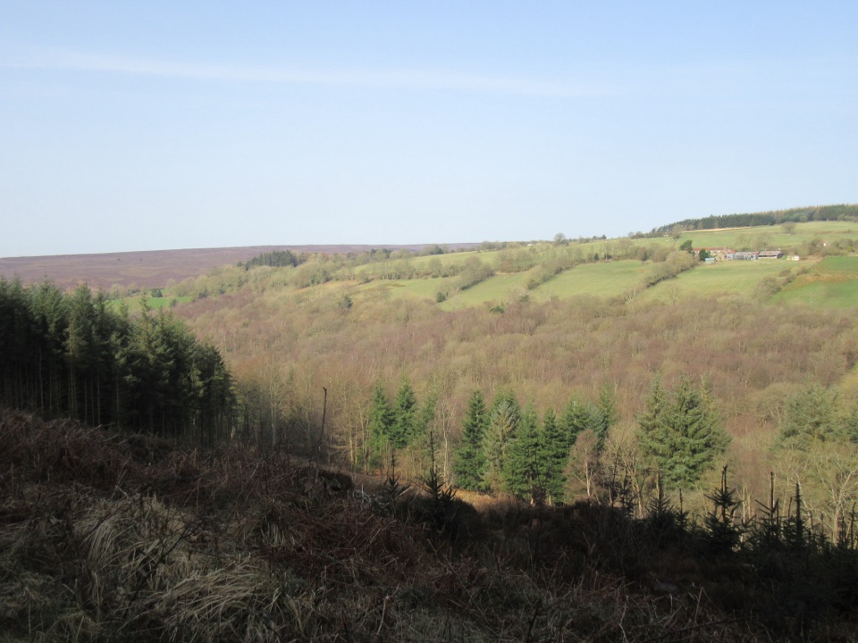 EasyCropton Forest Ramble4.5 km · 1.3 hr · 3.4 km awayPine plantation and woodland heath on a red-waymarked forest loop
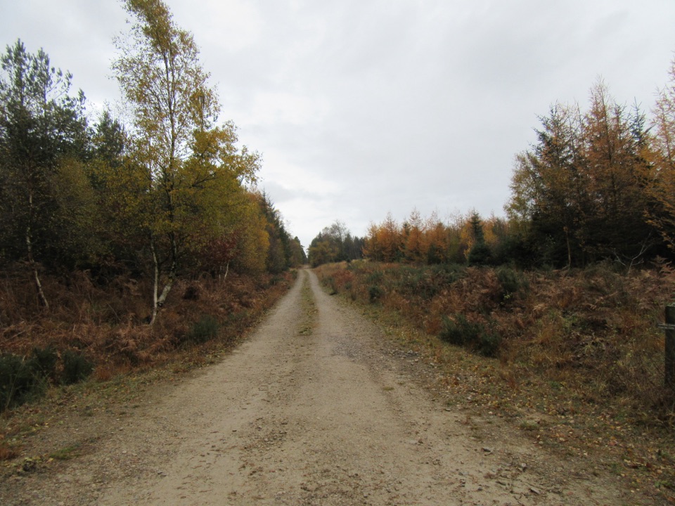 EasyLittle Beck Walk1.6 km · 45 min · 3.4 km awayGreen waymarkers lead a gentle mile through conifers to Little Beck.
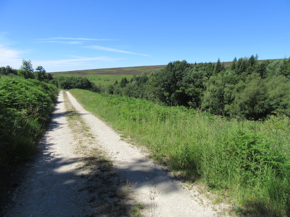 EasySpiers Bank Walk4.8 km · 1.5 hr · 3.4 km awayGravel forest roads climb to open heather and Rosedale valley views
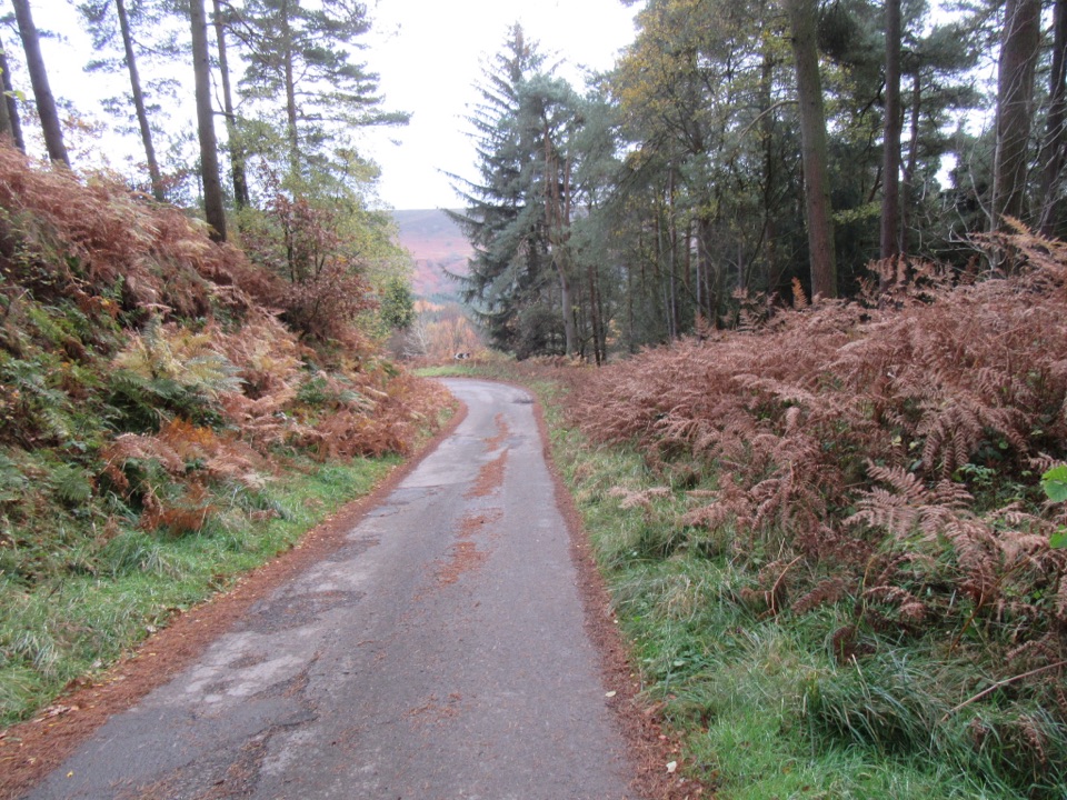 ModerateNewtondale9.7 km · 3 hr · 3.8 km awaySix miles of forest tracks and dale views above a steam railway
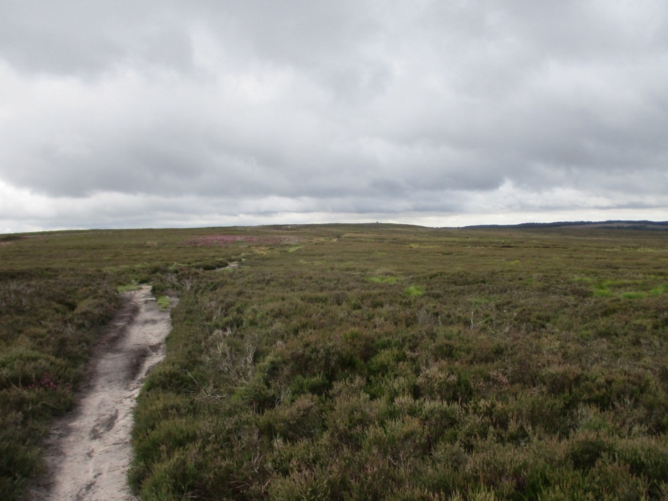 ModerateNewtondale Halt to Goathland Station Walk10.8 km · 3.5 hr · 7.4 km awayRide the rails in, walk out over heather moorland to Goathland
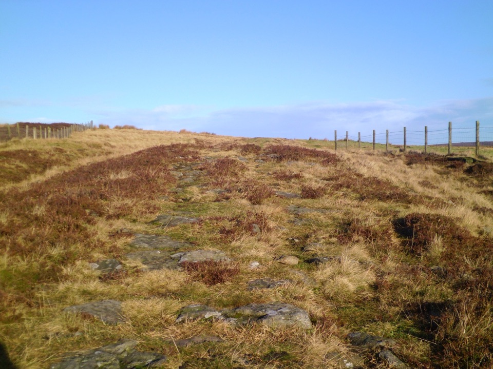 ModerateWheeldale Moor Circular18.2 km · 6 hr · 7.4 km awayForest tracks then four miles of open, boggy moor past boundary stones
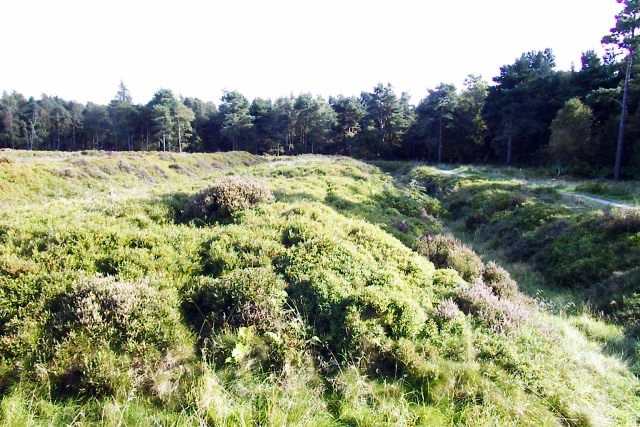 Sight · 0.3 km awayCawthorn Roman CampsMile-long walk around four Roman earthworks with wide moorland views.
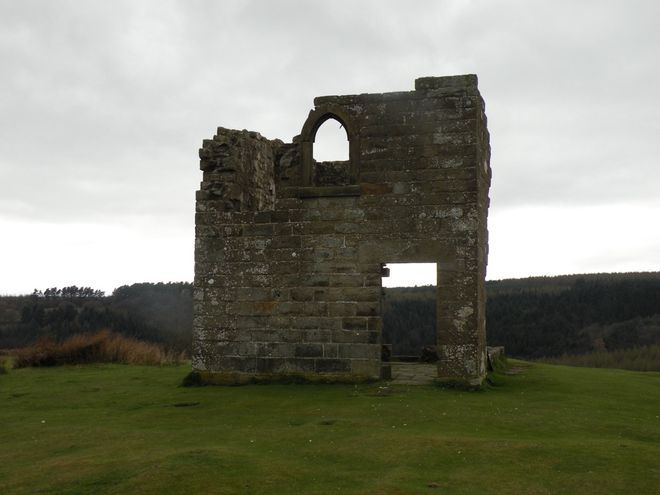 Sight · 5 km awaySkelton TowerRuined 1830s shooting lodge perched high above Newtondale's steam railway
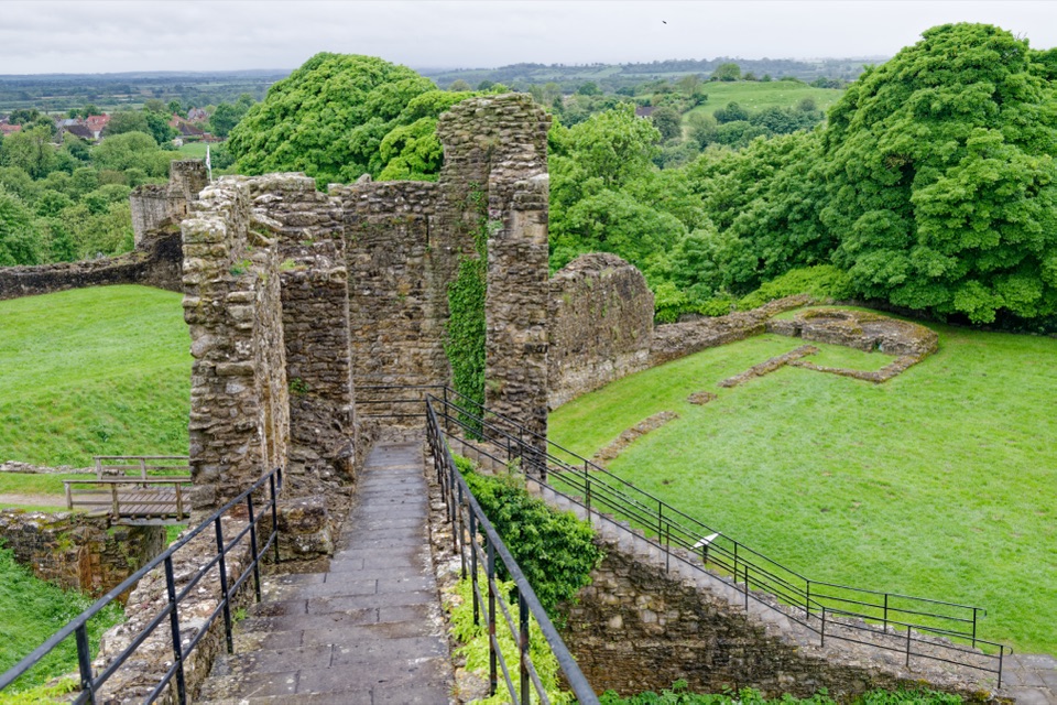 Sight · 5.3 km awayPickering CastleClimb a Norman motte to shell keep ruins and valley views
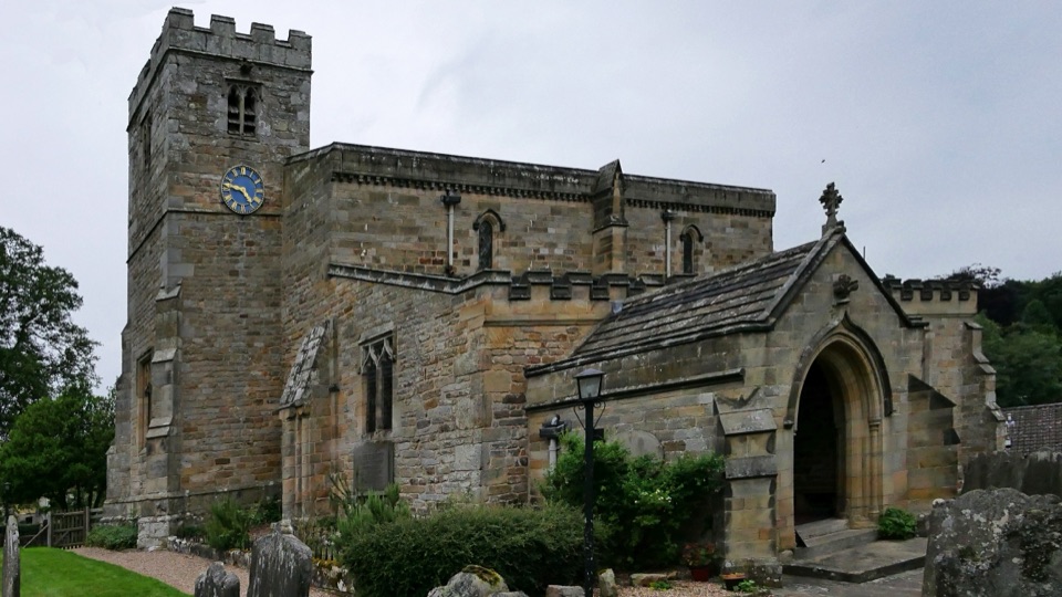 Sight · 5.5 km awaySt Mary's Church, LastinghamA rare double-aisled Norman crypt beneath a moor-edge village church
 Sight · 5.6 km awayNorth Yorkshire Moors RailwayHeritage trains cross 24 miles of moorland from Pickering to Whitby
 Sight · 7.4 km awayHole of HorcumA 400-foot heather amphitheatre with a short accessible view platform
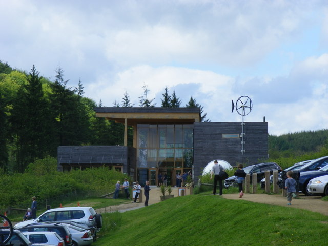 Visitor center · 7.5 km awayDalby Forest Visitor CentreTrail advice, cafe and beckside play at the forest's main hub
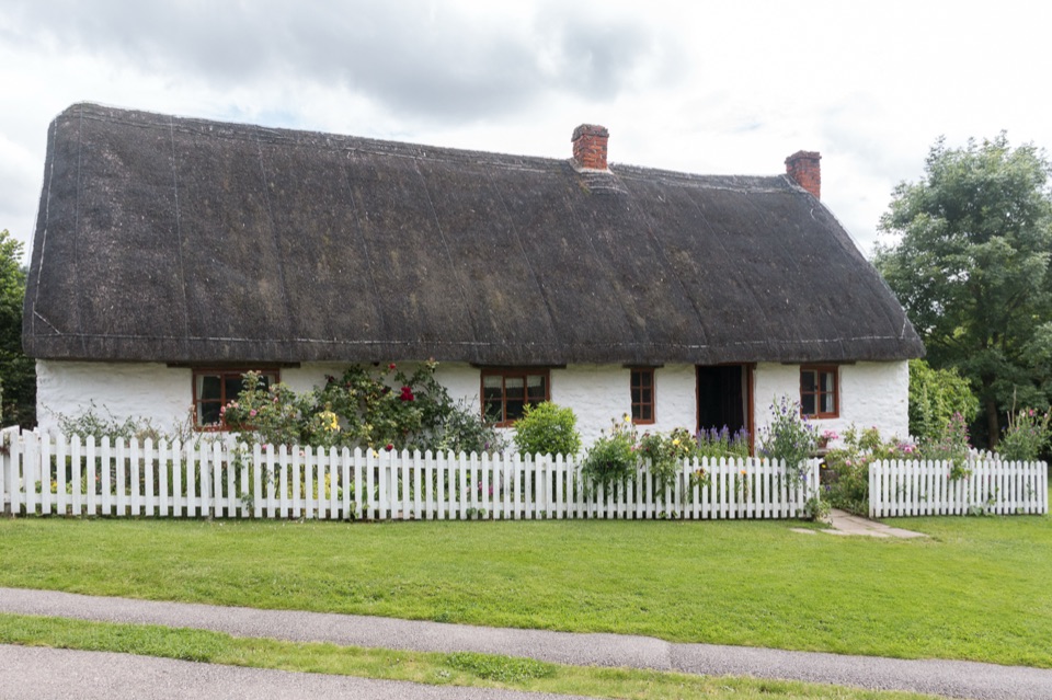 Sight · 7.6 km awayRyedale Folk MuseumRebuilt dales cottages and workshops you can walk right into
Parkwolf’s North York Moors ranking

The audio tour guide for the drive, plus offline maps, trails, and wildlife heatmaps for when the signal drops.





