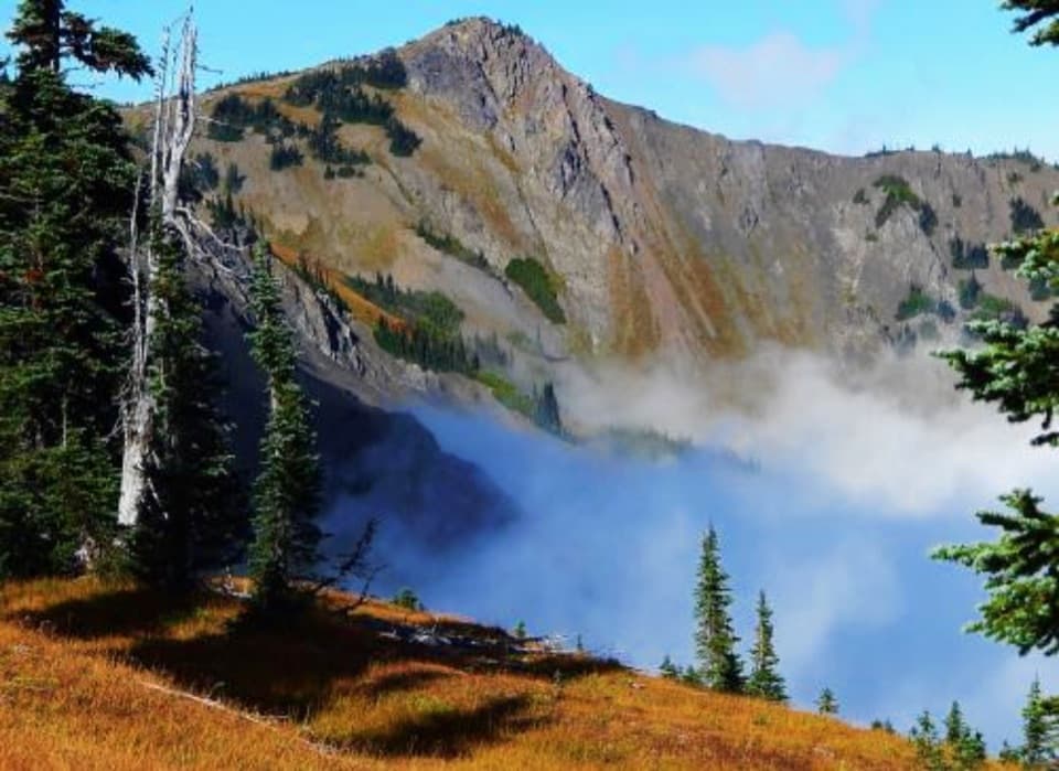
Eagle Point Trail in Olympic National Park

Olympic National Park, WA

Eagle Point Trail

A faint 1.4-mile route to Eagle Point's open summit

Photo: Wikimedia Commons
Length
1.4mi
Time
1.5hr
Elev. change
266ft
Difficulty
Moderate
  • No dogs
  • High point 6,191 ft

Hear the audio tour

The Lily at the Snow’s Edge

Overview

About Eagle Point Trail

Why go

  • A short approach reaches an open summit with views in both directions.

Heads up

  • Faint tread with no confirmed sign or maintained status.
  • Seasonal road access and uncertain roadside parking.

Map & elevation

The route

Loading the Olympic map
Full map
Elevation5,925–6,191 ft
TrailheadEagle Point Trail roadside start on Obstruction Point Road47.93186, -123.41132
Keep this map with you offline in the Parkwolf app

Plan your hike

Before you go

Parking

Start where the mapped path meets Obstruction Point Road, about 7.8 miles from the Hurricane Ridge parking area. No signed Eagle Point lot or exact pullout is confirmed; nearby roadside spaces may fit only one or two cars. The road is gravel, narrow, steep in places, and unsuitable for RVs or trailers.

Safety

The mapped line is poorly visible through open alpine terrain, and maintenance is unconfirmed; route-finding is part of the hike. A nearby 0.6-mile scramble with loose scree is a separate, steeper route. Pets are not allowed.

6 active Olympic alerts

  • InfoNo potable water at Hurricane RidgeMentions Hurricane Ridge, referenced in this guideNo potable water is available at Hurricane Ridge; bring your own drinking water.Official details
  • CautionUS 101 Hoh River Bridge reduced to one laneUS 101 at the Hoh River Bridge is restricted to one lane of alternating traffic; obey the signals and 25 mph speed limit.Official details
See all 6 alerts
A park ranger sits on a dash-mounted phone, talking, as Parkwolf’s Tour Guide plays “Army Cutworm Moths: A Grizzly Bear Buffet” on Grand Loop Road below Dunraven Pass in Yellowstone
Parkwolf Tour GuideThe highest, rockiest slopes around here are a summer buffet for grizzly bears.

Olympic Tour Guide

Your drive to Eagle Point Trail, narrated.

Parkwolf is a GPS audio tour guide for Olympic National Park. As you drive, it chimes in with what’s ahead: hidden gems, upcoming stops, history, geology, and wildlife, right through your car’s speakers.

See the Olympic audio tour

Recorded for this area

The Lily at the Snow’s Edge
0:00 / 0:33
“Mountain wildflowers run on a snowmelt clock. Avalanche lilies can flower soon after the snow retreats, using energy stored in an underground bulb to get started. Look for nodding white flowers with yellow at the center.”

Plays on the road 0.1 mi from the trailhead in the Parkwolf Olympic Tour Guide.

More stories near here in the app

  • Seabed in the Mountains
  • Obstruction Point: Stay High on Lillian Ridge
  • Trees That Grow Sideways
  • A Marmot’s Short Summer
  • 204 audio storiesacross Olympic’s roads, triggered by GPS as you drive
  • Wildlife heatmapsfor Olympic Marmot, Humpback Whale, Grey Whale, and 13 more
  • Works offlinemaps, 148 trails, 94 places, and audio download before you lose signal
  • CarPlay readysimple controls built for the drive
★★★★★
“Fantastic app with many points of information… It’s great to just turn on while you’re driving and it gives you an audio tour of the national Park. We love it!!!!”
JMJamesApp Store review
Download Parkwolf on the App StoreGet Parkwolf on Google Play

4.7 from 8,600+ ratings

Trail guide

Hiking Eagle Point Trail

A short, faint summit routeEagle Point Trail is a 1.

Eagle Point Trail is a 1.4-mile out-and-back from Obstruction Point Road to Eagle Point's 6,247-foot summit. The mapped path is about 0.7 mile each way and gains roughly 390 feet; allow about 1.5 hours. It reaches open high ground quickly, but the short mileage hides the route-finding: the tread is poorly visible and its maintenance is unconfirmed. Choose it if you're comfortable following a faint line rather than expecting a signed, built trail.

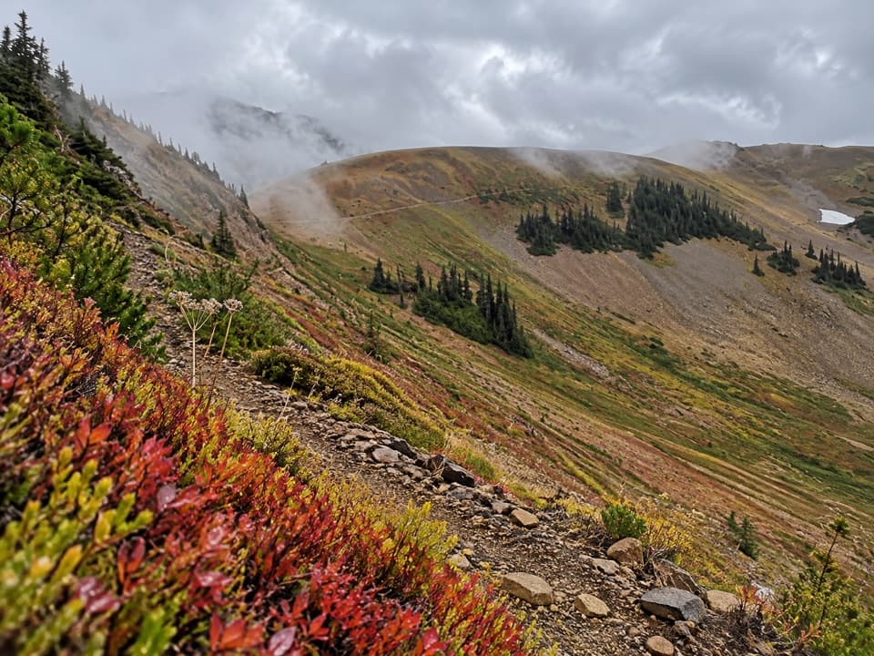
Follow the mapped approachThe path leaves the road and climbs the southwest ridge through open subalpine slopes.

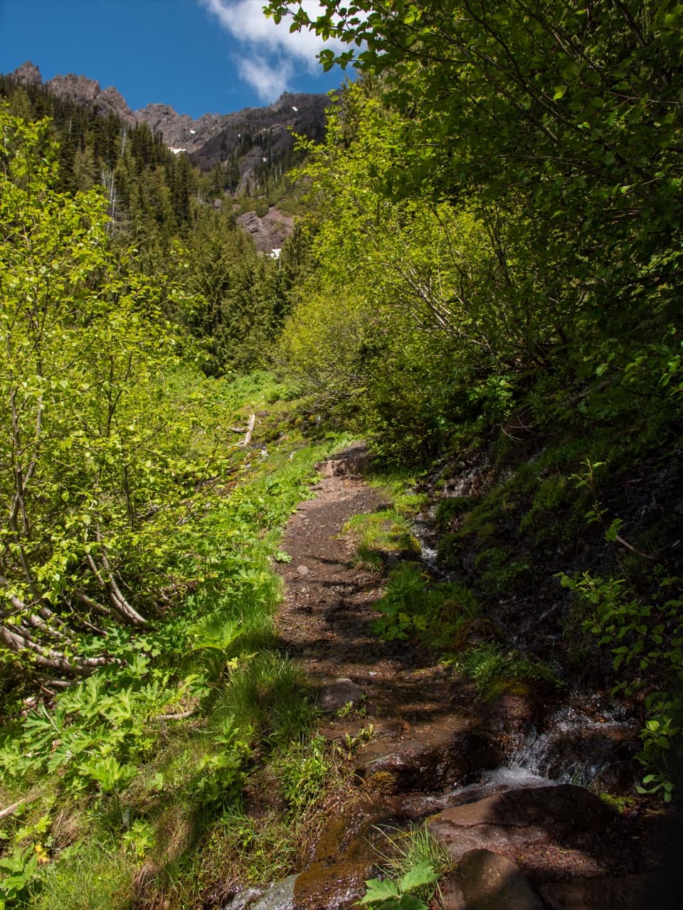
The path leaves the road and climbs the southwest ridge through open subalpine slopes. Its line is hard to pick out in places. There is no confirmed signed Eagle Point trailhead. A separate, steeper scramble starts from a closer roadside pullout and is sometimes described as a 0.6-mile round trip; that is a different approach, not a shortcut to add to this route. If you lose the mapped tread, turn back instead of cutting straight up the slope.

Take time at the topFrom the 6,247-foot summit, look northwest toward Klahhane Ridge, Mount Angeles and Rocky Peak,…

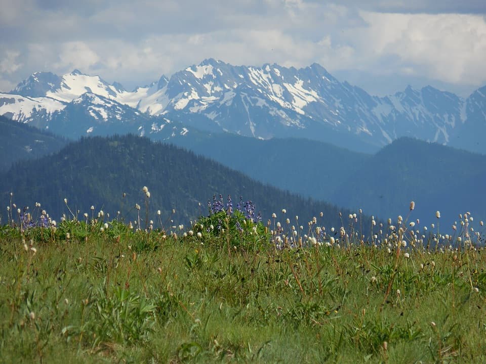
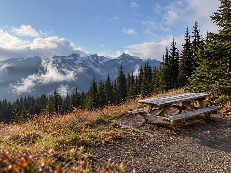
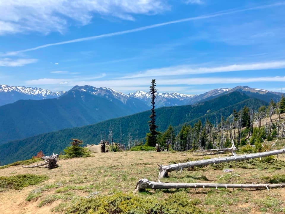
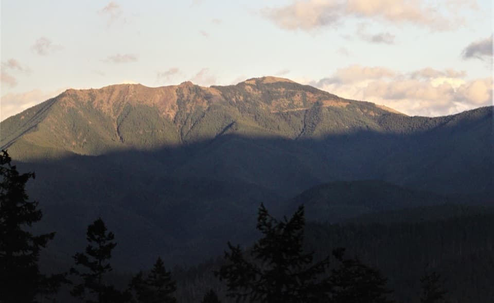
From the 6,247-foot summit, look northwest toward Klahhane Ridge, Mount Angeles and Rocky Peak, then southeast toward Grand Ridge, Elk Mountain and Obstruction Peak. Two survey disks mark the summit area; one points toward the true high point. Late spring and summer bring lupine and other wildflowers. Stay on rocky ground where possible to avoid trampling them. For a photo that shows the setting, keep the rocky crest in frame with the ridges beyond it.

Road and accessObstruction Point Road branches off at the Hurricane Ridge parking area and runs 7.

Obstruction Point Road branches off at the Hurricane Ridge parking area and runs 7.8 miles to the mapped start. It's gravel, narrow, winding and steep in places, and isn't suitable for RVs or trailers. Snow and weather generally limit access to mid-June through October 15; check the road status before driving up. Nearby roadside pullouts are small, and the exact parking spot for this route isn't confirmed. Pets aren't allowed on this trail in Olympic National Park.
Wildlife

Wildlife in Olympic

All Olympic wildlife maps

Sighting maps show where each species has been reported across Olympic. Wildlife moves, so no sighting is guaranteed.

Keep exploring

Near Eagle Point Trail

See it all on the map

Trails that start nearby

Places near the trailhead

Parkwolf’s Olympic ranking

Top-rated trails in Olympic

All 148 trails
  1. 1Hall of Mosses TrailEasy · 0.8 mi
  2. 2Hurricane Hill TrailModerate · 3.3 mi
  3. 3Sol Duc Falls Nature TrailEasy · 1.6 mi
  4. 4High Divide Loop (Seven Lakes Basin)Challenging · 19 mi
  5. 5Hoh River TrailChallenging · 34.8 mi
  6. 6Shi Shi Beach and Point of Arches TrailModerate · 8 mi

Take Parkwolf to Olympic.

The audio tour guide for the drive, plus offline maps, trails, and wildlife heatmaps for when the signal drops.

4.7 from 8,600+ ratings

Download Parkwolf on the App StoreGet Parkwolf on Google Play