Parking
Use the Staircase day-use area by the ranger station. Follow Staircase Rapids Loop across the bridge to the southwest branch for Four Stream; the trail junction is not at the parking area. Snow can close the access road about a mile short.
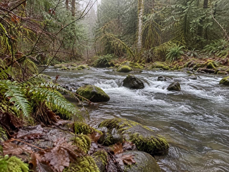
Olympic National Park, WA
A mossy creek confluence marks the halfway point to the park boundary.
Overview
Map & elevation
Plan your hike

The highest, rockiest slopes around here are a summer buffet for grizzly bears.
Olympic Tour Guide
Parkwolf is a GPS audio tour guide for Olympic National Park. As you drive, it chimes in with what’s ahead: hidden gems, upcoming stops, history, geology, and wildlife, right through your car’s speakers.
See the Olympic audio tourRecorded for this area
Staircase: Rapids and the Fallen Cedar“Up ahead is Staircase, where I’d choose the Rapids Loop for a short outing beside the North Fork Skokomish River.”
Plays on the road 0.8 mi from the trailhead in the Parkwolf Olympic Tour Guide.
More stories near here in the app
“Fantastic app with many points of information… It’s great to just turn on while you’re driving and it gives you an audio tour of the national Park. We love it!!!!”


Trail guide
Four Stream is a forest out-and-back from the southwest side of Staircase Rapids Bridge to the park boundary. The mapped route is 2.39 miles one way, matching the park's 2.4-mile figure, or 4.8 miles round-trip, with roughly 800 feet of climbing on the way out. Allow about 3.5 hours. For a shorter outing, turn around at Beaver Flat, 1.2 miles from the bridge and 2.4 miles round-trip.
Beaver Flat is a swampy patch of red alder and redcedar where Four Stream meets the North Fork Skokomish River. It is the named halfway destination and the main stopping point on the shorter version. Continue beyond it for the park boundary; the mapped line ends there and does not include the trail beyond the park.
Park at the Staircase day-use area by the ranger station, then follow Staircase Rapids Loop across its bridge to the Four Stream branch on the southwest side. The access road can be gated about a mile short in snowy conditions. Toilets and potable water are at the developed area when seasonal services are operating; there are no services documented along Four Stream. Pets and bicycles are prohibited on park trails. Overnight wilderness travel requires a permit.
Wildlife
 710 sightingsOlympic MarmotMost seen around 11 AMSighting map
 30 sightingsHumpback WhaleMost seen around 6 PMSighting map
 42 sightingsGrey WhaleMost seen around noonSighting map
 23 sightingsMountain LionMost seen around 8 PMSighting map
 71 sightingsMountain GoatMost seen around 7 AMSighting map
 306 sightingsBald EagleMost seen around 11 AMSighting map
Sighting maps show where each species has been reported across Olympic. Wildlife moves, so no sighting is guaranteed.
Keep exploring
 EasyBig Cedar Trail (Staircase)0.4 mi · 20 min · 0.5 mi awayA short gravel path to a fallen cedar 14 feet across.
 ChallengingFlapjack Lakes Trail15.6 mi · 9.5 hr · 0.7 mi awayA long forest climb ends at twin lakes below the Sawtooths.
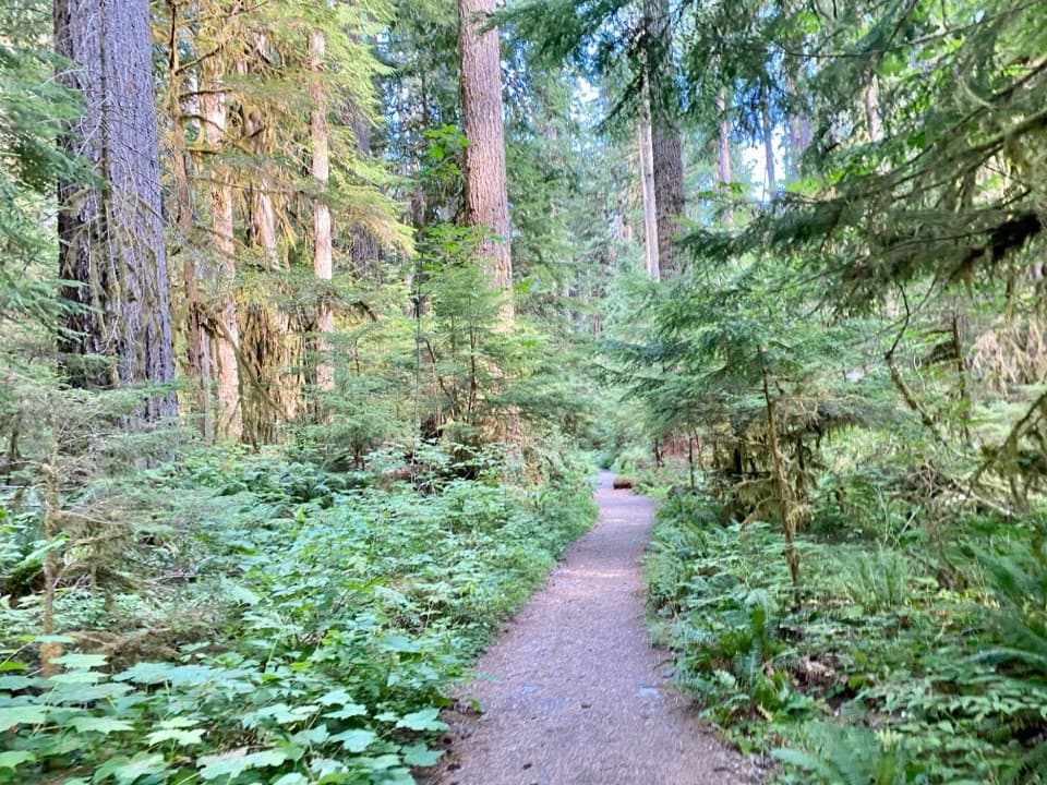 ChallengingNorth Fork Skokomish River Trail25 mi · 16 hr · 0.7 mi awayA long river-valley walk to a remote Olympic mountain pass.
 ModerateShady Lane Trail0.8 mi · 45 min · 0.7 mi awayA narrow cedar trail with river views and two small bridges.
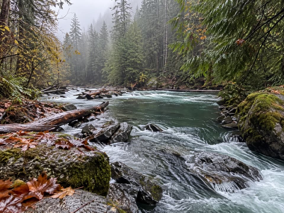 EasyStaircase Rapids Loop Trail2.1 mi · 1.3 hr · 0.8 mi awayA shady loop to river rapids and an enormous fallen cedar.
 ChallengingWagonwheel Lake Trail5.6 mi · 6 hr · 0.8 mi awayA relentless climb ends at a small, turquoise subalpine lake.
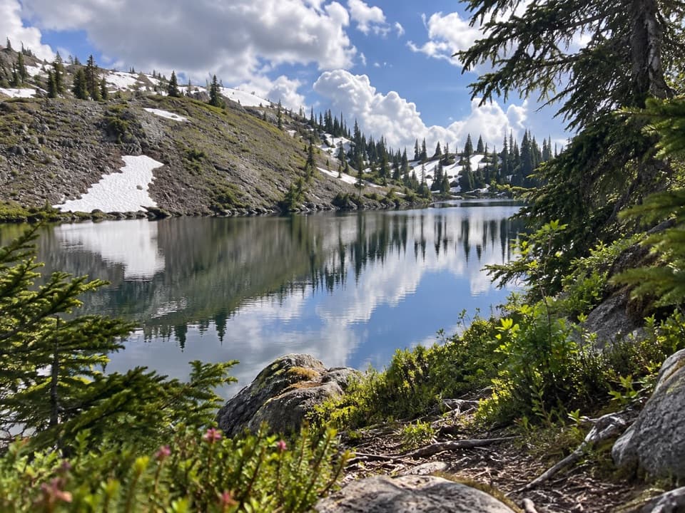 ChallengingBlack and White Lakes Primitive Trail14 mi · 11.5 hr · 0.8 mi awayA steep climb to an open basin of lakes and mountain views.
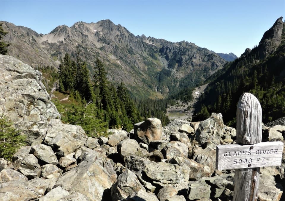 ChallengingGladys Divide Primitive Trail2.8 mi · 3 hr · 2.7 mi awayA steep primitive climb from Flapjack Lakes to a high divide.Sight · 0.6 mi awayStaircase Big Cedar TreeA fallen 14-foot cedar, tucked just off an easy loop.
 Ranger station · 0.8 mi awayStaircase Ranger StationSeasonal ranger help beside an easy river loop
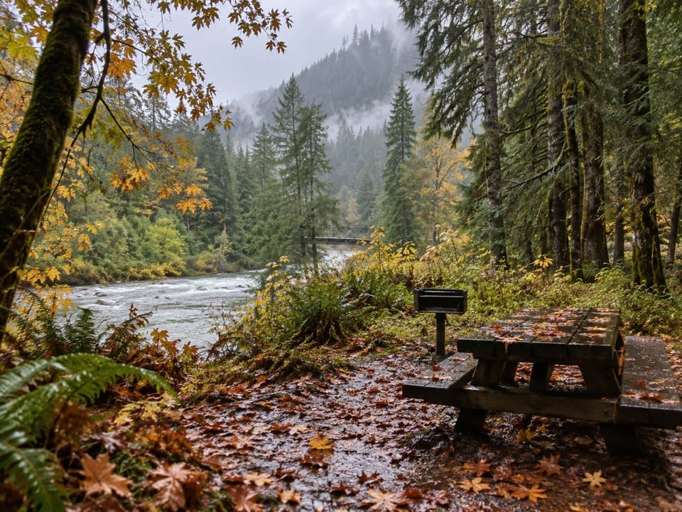 Picnic area · 0.8 mi awayStaircase Picnic AreaTables by the North Fork Skokomish make a handy meal stop.
 Campground · 0.9 mi awayStaircase CampgroundCamp beside the North Fork beneath Olympic old-growth forest.
 Entrance station · 0.9 mi awayStaircase Entrance StationBuy your pass and get oriented before exploring Staircase.
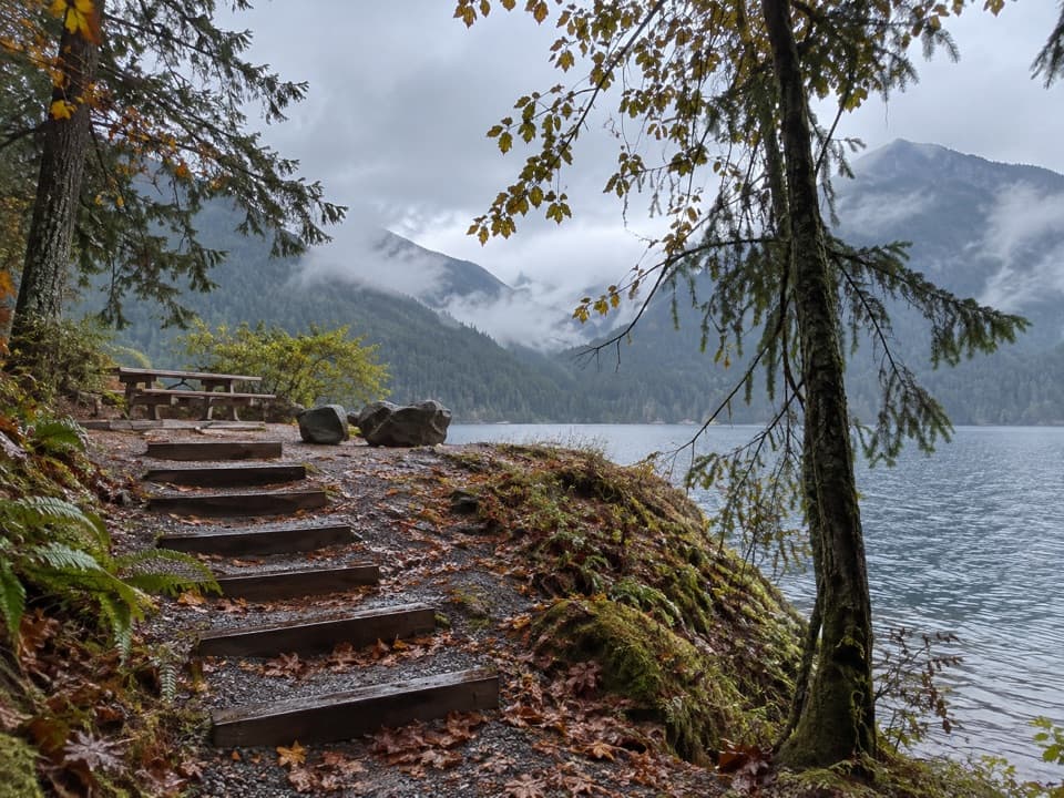 Picnic area · 3.3 mi awayLake Cushman Day Use Area Site 5A simple picnic table with a view over Lake Cushman.
Parkwolf’s Olympic ranking

The audio tour guide for the drive, plus offline maps, trails, and wildlife heatmaps for when the signal drops.





