Parking
Park at Staircase Ranger Station, across from the campground on Forest Service Road 24. The gravel approach can be rough and may be gated in snow.
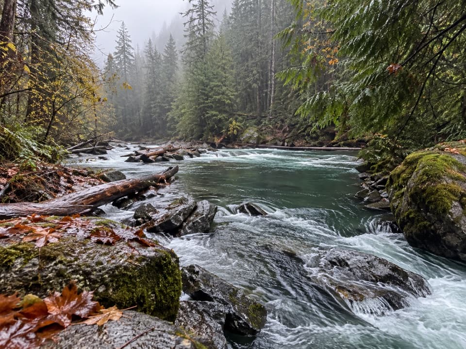
Olympic National Park, WA
A shady loop to river rapids and an enormous fallen cedar.
Overview
Map & elevation
Plan your hike

The highest, rockiest slopes around here are a summer buffet for grizzly bears.
Olympic Tour Guide
Parkwolf is a GPS audio tour guide for Olympic National Park. As you drive, it chimes in with what’s ahead: hidden gems, upcoming stops, history, geology, and wildlife, right through your car’s speakers.
See the Olympic audio tourRecorded for this trailhead
Staircase: Rapids and the Fallen Cedar“Up ahead is Staircase, where I’d choose the Rapids Loop for a short outing beside the North Fork Skokomish River.”
Plays as you drive up to this trailhead in the Parkwolf Olympic Tour Guide.
More stories near here in the app
“Fantastic app with many points of information… It’s great to just turn on while you’re driving and it gives you an audio tour of the national Park. We love it!!!!”


Trail guide
Staircase Rapids Loop is an easy 2.1-mile circuit from the Staircase Ranger Station through old-growth forest, along the North Fork Skokomish River, over a suspension bridge, and back to the campground. It is the best short choice if you want a close look at the river without committing to a longer wilderness hike. The park rounds it to 2 miles; the current trail listing and mapped line are closer to 2.1. Plan about an hour to 90 minutes if you pause at the bridge or Big Cedar. Reported elevation gains range from about 200 to 574 feet, so the exact total is unsettled. Either way, roots, rocks, and a few short steeper pitches make this more than a paved stroll.
The first stretch winds beneath tall trees. It stays near the river, although a low berm hides the water in places, so expect a shady forest walk rather than a river view at every turn. At roughly 0.8 mile, take the right-hand branch and cross the suspension bridge. This is the loop crossing; the other trail continues onto rougher Four Stream. Across the bridge, follow the trail downstream on the opposite bank to close the circuit at the ranger station.
The bridge is the clearest look at the rapids and boulder-filled river. For a photo, frame the water and rocks below with the forest along the banks; the river is the point of this stop, not the bridge by itself.
A short spur leaves the main route for the huge fallen Big Cedar and its exposed root mass. It gives the walk a second, very different payoff from the water. The exact age of the tree is not established, so take in its size and roots without treating it as a dated landmark. The park describes the 0.6-mile section to Big Cedar and a separate 0.5-mile section to a river viewpoint as accessible with assistance; those are partial sections, not a description of the whole loop.
The canopy includes Douglas-fir, western hemlock, and western redcedar, with mosses and ferns below. In the eastern Olympics, large natural fires occur on a much longer cycle than a visitor can see in a single walk. Thick bark lets mature Douglas-firs survive many fires, while an opening in the canopy and bare mineral soil help new Douglas-fir seedlings take hold. That is why fire is part of the forest's renewal here, not simply damage to it.
Park at Staircase Ranger Station, across from the campground. The approach on Forest Service Road 24 is gravel and can be rough or potholed; peak-season parking can be difficult, so a weekday is a useful bet if your plans are flexible. The 49-site campground has picnic tables, restrooms, and potable water, but seasonal services change: from mid-fall into May, expect pit toilets and no potable water or trash collection. No food service was found at the trailhead. Pets and bicycles are not allowed on park trails. Staircase Road is weather-dependent and may be gated when snow closes the road.
Wildlife
 710 sightingsOlympic MarmotMost seen around 11 AMSighting map
 30 sightingsHumpback WhaleMost seen around 6 PMSighting map
 42 sightingsGrey WhaleMost seen around noonSighting map
 23 sightingsMountain LionMost seen around 8 PMSighting map
 71 sightingsMountain GoatMost seen around 7 AMSighting map
 306 sightingsBald EagleMost seen around 11 AMSighting map
Sighting maps show where each species has been reported across Olympic. Wildlife moves, so no sighting is guaranteed.
Keep exploring
 ModerateShady Lane Trail0.8 mi · 45 min · At the trailheadA narrow cedar trail with river views and two small bridges.
 ChallengingFlapjack Lakes Trail15.6 mi · 9.5 hr · 0.1 mi awayA long forest climb ends at twin lakes below the Sawtooths.
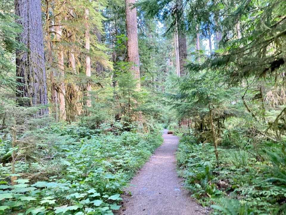 ChallengingNorth Fork Skokomish River Trail25 mi · 16 hr · 0.1 mi awayA long river-valley walk to a remote Olympic mountain pass.
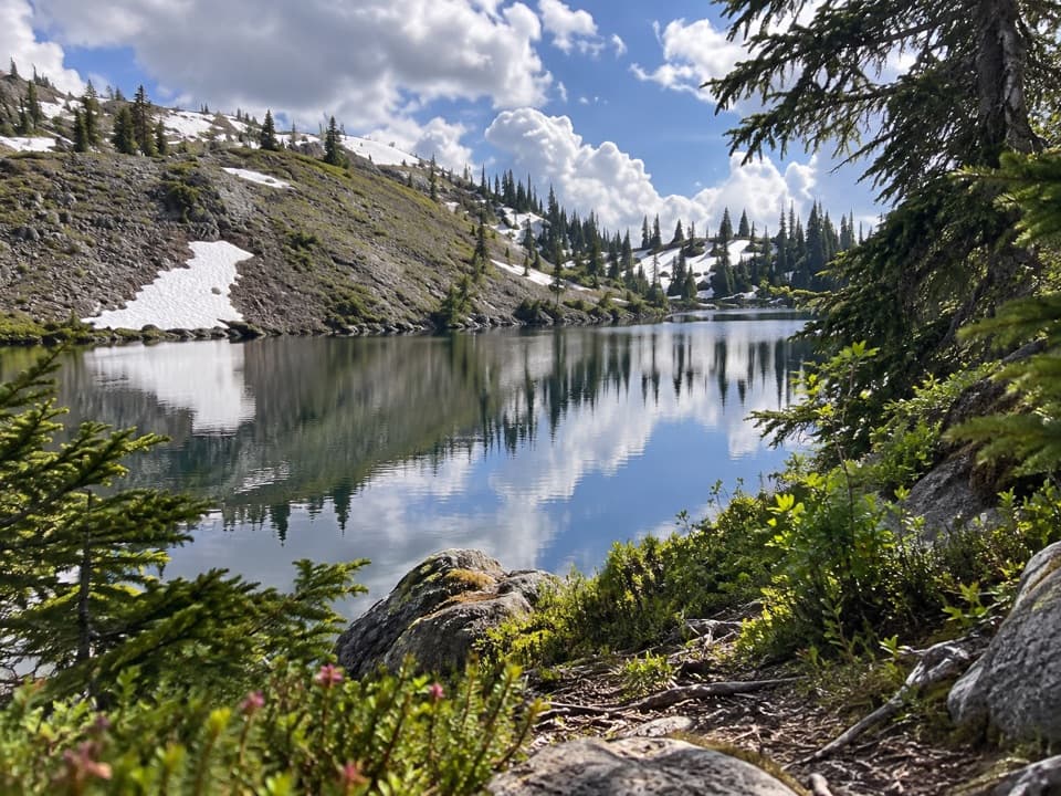 ChallengingBlack and White Lakes Primitive Trail14 mi · 11.5 hr · 0.1 mi awayA steep climb to an open basin of lakes and mountain views.
 ChallengingWagonwheel Lake Trail5.6 mi · 6 hr · 0.1 mi awayA relentless climb ends at a small, turquoise subalpine lake.
 EasyBig Cedar Trail (Staircase)0.4 mi · 20 min · 0.3 mi awayA short gravel path to a fallen cedar 14 feet across.
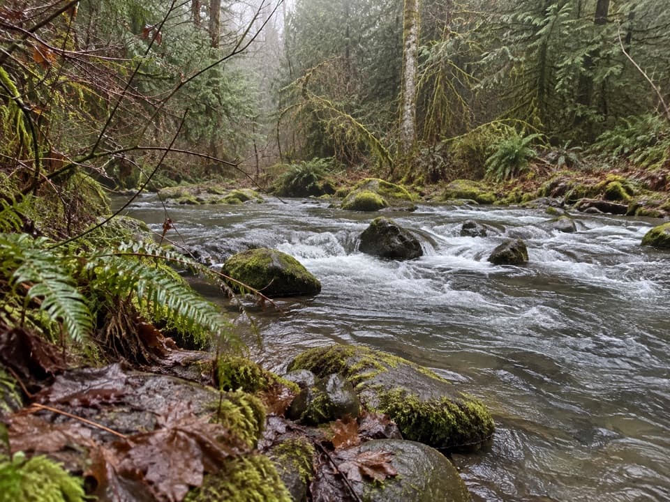 ModerateFour Stream Trail4.8 mi · 3.5 hr · 0.8 mi awayA mossy creek confluence marks the halfway point to the park boundary.
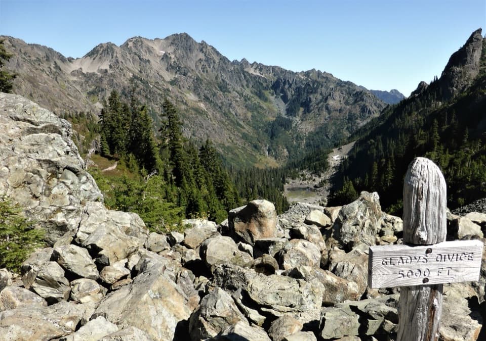 ChallengingGladys Divide Primitive Trail2.8 mi · 3 hr · 3.3 mi awayA steep primitive climb from Flapjack Lakes to a high divide.
 Ranger station · At the trailheadStaircase Ranger StationSeasonal ranger help beside an easy river loop
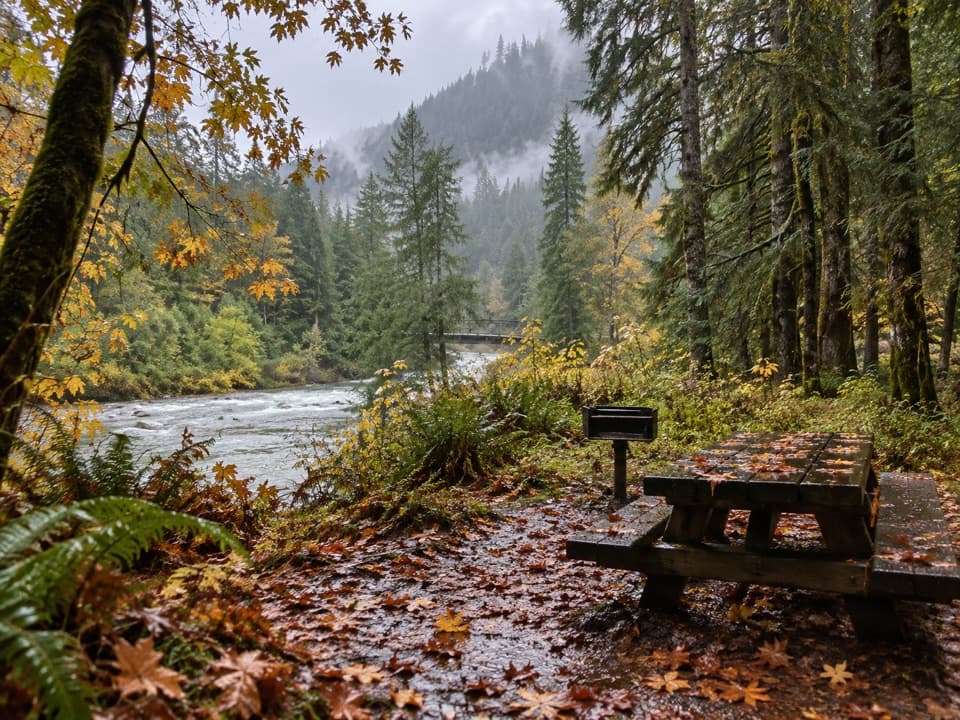 Picnic area · 0.1 mi awayStaircase Picnic AreaTables by the North Fork Skokomish make a handy meal stop.
 Campground · 0.1 mi awayStaircase CampgroundCamp beside the North Fork beneath Olympic old-growth forest.
 Entrance station · 0.2 mi awayStaircase Entrance StationBuy your pass and get oriented before exploring Staircase.Sight · 0.2 mi awayStaircase Big Cedar TreeA fallen 14-foot cedar, tucked just off an easy loop.
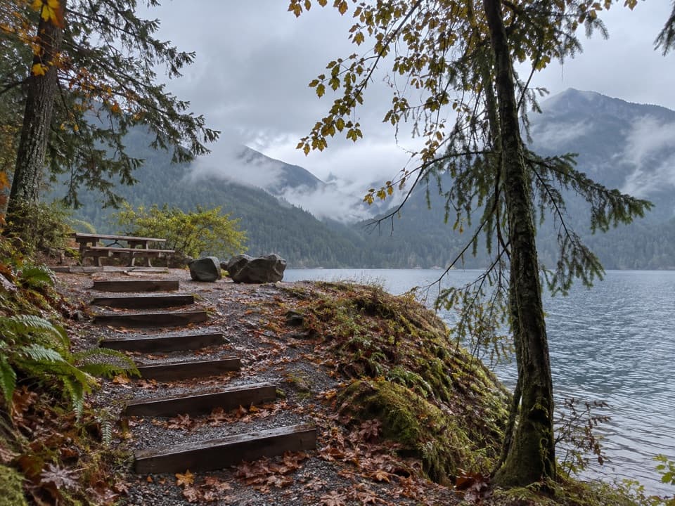 Picnic area · 2.5 mi awayLake Cushman Day Use Area Site 5A simple picnic table with a view over Lake Cushman.
Parkwolf’s Olympic ranking

The audio tour guide for the drive, plus offline maps, trails, and wildlife heatmaps for when the signal drops.





