Redmires Reservoir, Stanage Edge and Hallam Moors Circular in Peak District National Park

Peak District National Park, EN

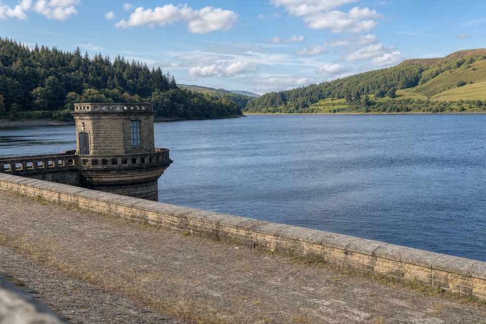
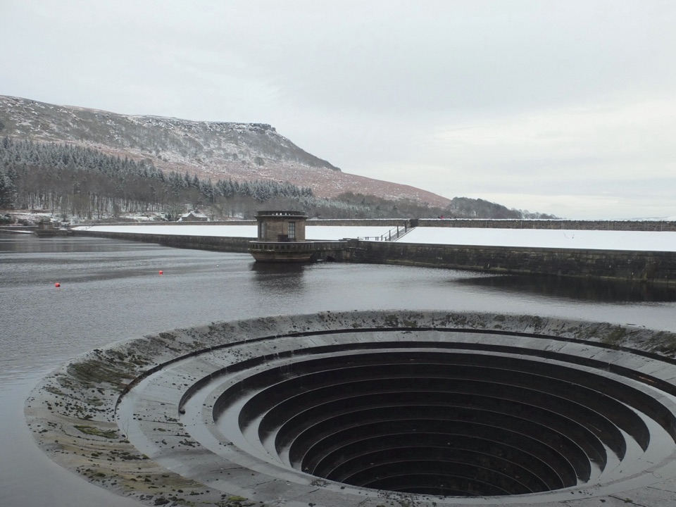
Redmires Reservoir, Stanage Edge and Hallam Moors Circular

A long moorland loop linking Redmires, Stanage Edge and High Neb.

Photo: Wikimedia Commons
Length
15km
Time
4.8hr
Elev. change
143m
Difficulty
Moderate
  • Loop
  • Dogs allowed
  • High point 445 m
  • #28 of 88 in Peak District

Hear the audio tour

Redmires Reservoir and Moorland Walks

Overview

About Redmires Reservoir, Stanage Edge and Hallam Moors Circular

Why go

  • A varied long walk with reservoir, moor and gritstone edge
  • The Stanage Edge to High Neb section earns the miles

Heads up

  • Moorland can be muddy and boggy after rain
  • Small parking, a road crossing and many gates and stiles
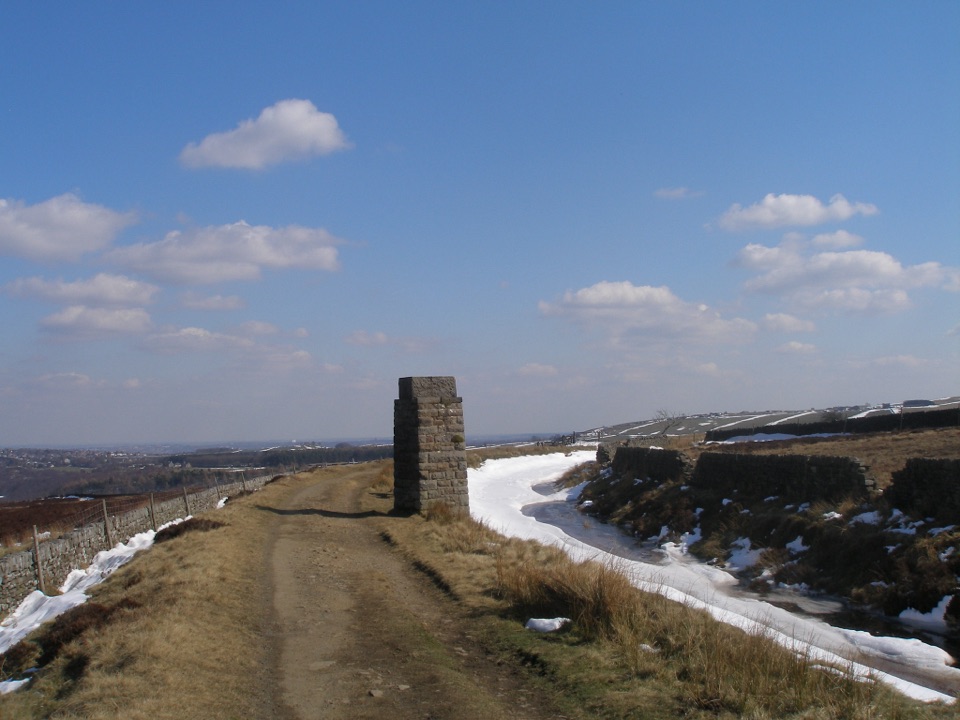
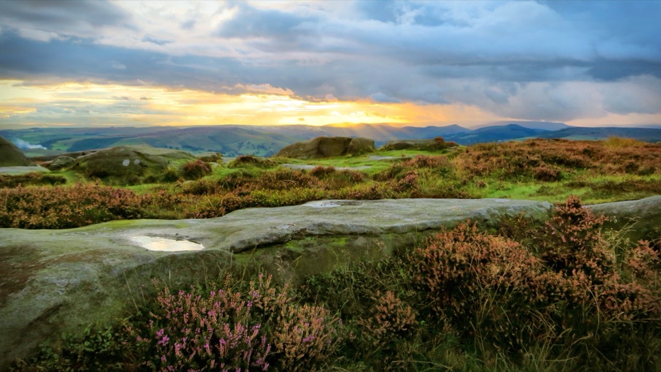
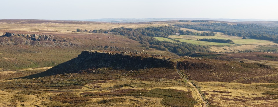
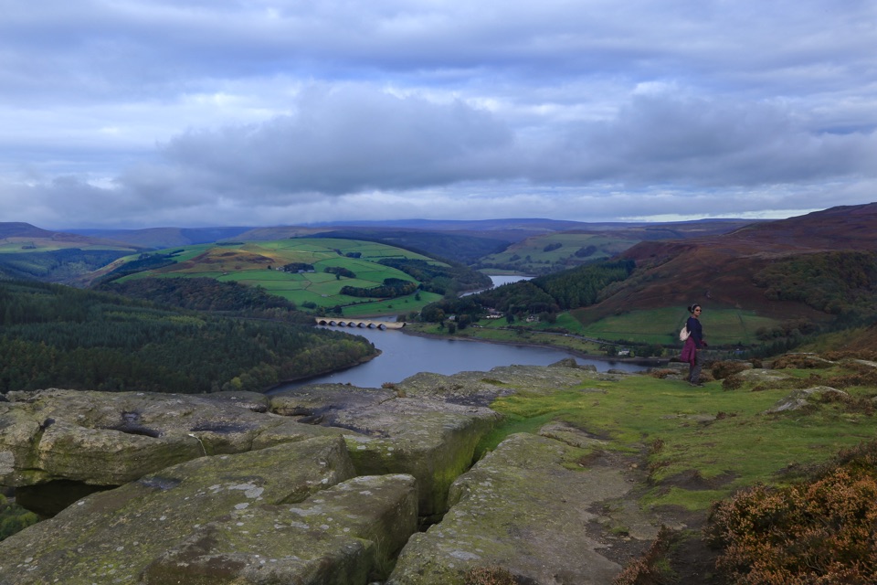
Go out via Stanage Pole so the approach builds to the edge. The pole marks the Derbyshire and South Yorkshire boundary on the ancient Long Causeway. From there, the ridge opens into wide views over Hathersage and the Hope Valley, Win Hill, Ladybower and Kinder Scout. High Neb, at about 458 metres, is the highest point on Stanage Edge. At the edge, frame the gritstone lip with the valley and moor beyond so the photo shows both the rock and the scale of the landscape.
Parkwolf’s verdictThe edge is the payoff

Map & elevation

The route

Loading the Peak District map
Full map
Elevation302–445 m
TrailheadRedmires Plantation Car Park53.36717, -1.61613
Keep this map with you offline in the Parkwolf app

Plan your hike

Before you go

Parking

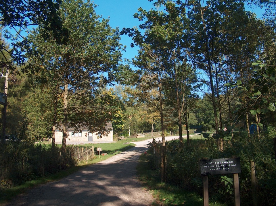
Use Redmires Plantation Car Park on the north-west edge of Upper Redmires Reservoir, postcode area S10 4QZ. It is a small public car park. Roadside parking along Redmires Road is also noted, but do not park on verges or obstruct road and farm access.

Safety

Expect rough ground, short steep gradients, stiles and gates, with boggy sections after rain. The route crosses the A57 near Moscar Lodge. Stanage Edge has no formal surfaced paths and its rocky approach can require a short scramble. Keep dogs on a short lead on the Stanage estate and follow seasonal Open Access restrictions and livestock signage.

5 active Peak District alerts

  • ClosureA54 Cat and Fiddle road closureThe A54 Macclesfield Main Road (Cat and Fiddle) is fully closed to all traffic from 27 July through 30 October 2026 during phase 1 improvement works.Official details
  • ClosureHooks Carr (Stanage Popular) car park closureHooks Carr (Stanage Popular) car park will be partially or fully closed from 6 October for four weeks.Official details
See all 5 alerts
A park ranger sits on a dash-mounted phone, talking, as Parkwolf’s Tour Guide plays “Army Cutworm Moths: A Grizzly Bear Buffet” on Grand Loop Road below Dunraven Pass in Yellowstone
Parkwolf Tour GuideThe highest, rockiest slopes around here are a summer buffet for grizzly bears.

Peak District Tour Guide

Your drive to Redmires Reservoir, Stanage Edge and Hallam Moors Circular, narrated.

Parkwolf is a GPS audio tour guide for Peak District National Park. As you drive, it chimes in with what’s ahead: hidden gems, upcoming stops, history, geology, and wildlife, right through your car’s speakers.

Recorded for this trailhead

Redmires Reservoir and Moorland Walks
0:00 / 0:29
“You're approaching Redmires Upper Reservoir, where two very different walks head out across the moors.”

Plays as you drive up to this trailhead in the Parkwolf Peak District Tour Guide.

More stories near here in the app

  • Wyming Brook Nature Trail
  • Practice Trenches above Redmires
  • Stanage Edge
  • The Little Gardens at Lodge Moor
  • 298 audio storiesacross Peak District’s roads, triggered by GPS as you drive
  • Wildlife heatmapsfor Red Deer, Red Fox, Eurasian Otter, and 13 more
  • Works offlinemaps, 88 trails, 76 places, and audio download before you lose signal
  • CarPlay readysimple controls built for the drive
★★★★★
“Fantastic app with many points of information… It’s great to just turn on while you’re driving and it gives you an audio tour of the national Park. We love it!!!!”
JMJamesApp Store review
Download Parkwolf on the App StoreGet Parkwolf on Google Play

4.7 from 8,600+ ratings

Trail guide

Hiking Redmires Reservoir, Stanage Edge and Hallam Moors Circular

What this loop isThis is a 9.

This is a 9.3-mile (15 km) circular walk from the Upper Redmires access, climbing over Hallam Moor to Stanage Pole, running north along Stanage Edge to High Neb, then looping back through Moscar Heights, Hollow Meadows and the moor above Redmires. Allow four to five hours. It is a good choice when you want the Peak District in one outing: reservoir, gritstone edge, open moor and a little local history, not a short reservoir stroll.

What it is like underfootThe route mixes reservoir-side tracks, bridleways, rough moorland paths, grassy fields, stiles,…

The route mixes reservoir-side tracks, bridleways, rough moorland paths, grassy fields, stiles, gates and minor roads. You cross the A57 near Moscar Lodge, then climb through Moscar Heights and Hollow Meadows before returning across Hallam Moors. Head Stone is a worthwhile short detour to three stacked gritstone outcrops. The return is quieter and less obvious than the famous ridge. After rain, the moor can be muddy and boggy, with short steep gradients and plenty of uneven ground. Stanage Edge itself has no formal surfaced paths and the final approach can involve a short scramble.

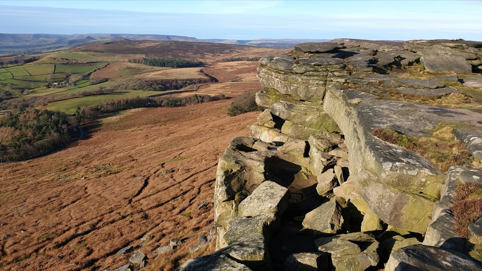
Practical detailsStart at Redmires Plantation Car Park on the north-west edge of Upper Redmires Reservoir.

Start at Redmires Plantation Car Park on the north-west edge of Upper Redmires Reservoir. It is a small public car park; roadside parking along Redmires Road is also noted, but do not block the road, verges or farm access. There are no public toilets or permanent food facilities at the start, so plan food separately in Hathersage or on your drive back. Dogs are allowed, but keep them on a short lead on the Stanage estate and follow the two-metre fixed-lead rule on Open Access land from 1 March to 31 July, as well as any livestock or wildlife signage. If you want the views without the long return, choose a shorter Stanage Edge walk from the same area instead.

Wildlife

Wildlife in Peak District

All Peak District wildlife maps

Sighting maps show where each species has been reported across Peak District. Wildlife moves, so no sighting is guaranteed.

Keep exploring

Near Redmires Reservoir, Stanage Edge and Hallam Moors Circular

See it all on the map

Trails that start nearby

Places near the trailhead

Parkwolf’s Peak District ranking

Top-rated trails in Peak District

All 88 trails
  1. 1The Roaches and Lud’s Church Circular from Hen CloudModerate · 12.2 km
  2. 2Mam Tor Circular WalkModerate · 4.8 km
  3. 3Castleton, Mam Tor & the Great Ridge WalkModerate · 10.5 km
  4. 4Stanage Edge from HathersageModerate · 10.6 km
  5. 5Kinder Scout Circular via Jacob’s LadderChallenging · 12.1 km
  6. 6Padley Gorge and Burbage Brook WalkEasy · 3.7 km

Take Parkwolf to Peak District.

The audio tour guide for the drive, plus offline maps, trails, and wildlife heatmaps for when the signal drops.

4.7 from 8,600+ ratings

Download Parkwolf on the App StoreGet Parkwolf on Google Play