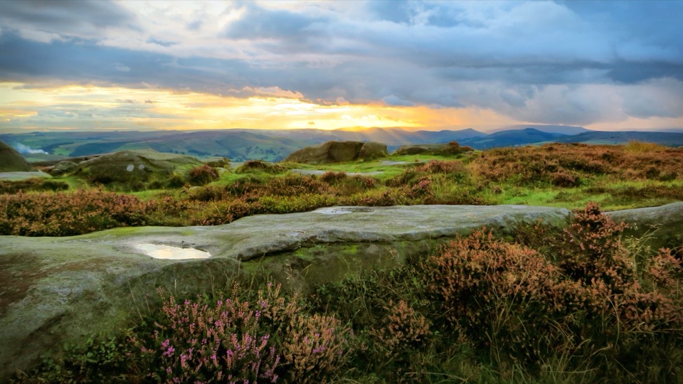
Higger Tor in Peak District National Park

Sight · Peak District National Park

Higger Tor

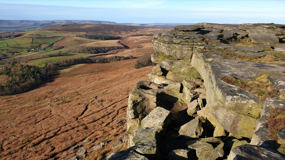
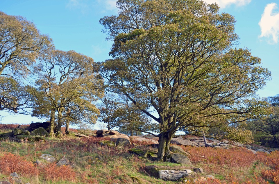
Boulder-strewn gritstone plateau with huge views over Burbage Moor

Photo: Wikimedia Commons
Type
Sight
Nearest trail
2.1 km
Audio stories
9 nearby
  • Parking

Hear the audio tour

Higger Tor and Carl Wark

Overview

About Higger Tor

Why stop

  • Wide moorland views from a distinctive gritstone tor

Heads up

  • Exposed wind and uneven rocky ground around the boulders
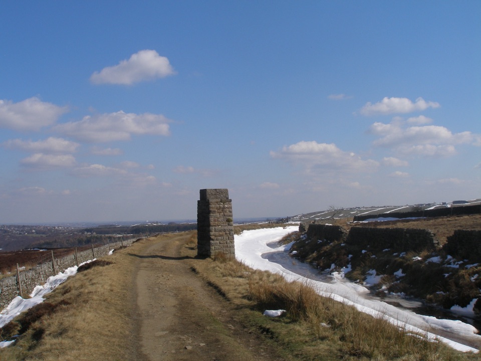
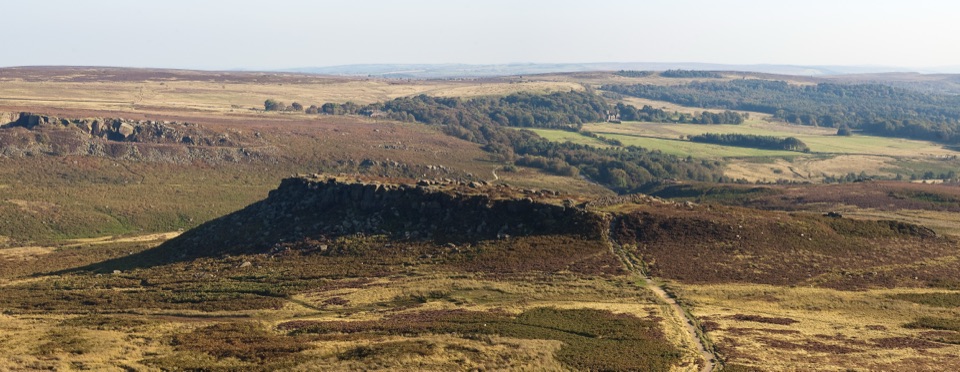
A broad gritstone plateau at 424 m on Hathersage Moor, scattered with huge weathered boulders and pockets of heather and cotton grass. The pull is the short effort for a big payoff: a modest climb puts you on an open summit with views in every direction, plus rock shapes worth scrambling around at your own pace. Climbers know the crag below as Higgar Tor, and the boulders on top are popular for low-level bouldering.
Parkwolf’s verdictWhy stop here

Map

Where it is

Loading the Peak District map
Full map
SightHigger Tor53.33387, -1.61541
Keep this map with you offline in the Parkwolf app

Plan your stop

Before you go

Best time to go

Early morning or the last couple of hours of daylight give softer light and generally quieter rock. Late summer can bring heather colour when it is in bloom. The ground is rocky and uneven with boulder steps, so wear boots or grippy trainers rather than smooth-soled shoes. This is open moorland exposed to wind, and it can feel very different from the valley, so carry a layer even on a mild day.


5 active Peak District alerts

  • ClosureA54 Cat and Fiddle road closureThe A54 Macclesfield Main Road (Cat and Fiddle) is fully closed to all traffic from 27 July through 30 October 2026 during phase 1 improvement works.Official details
  • ClosureHooks Carr (Stanage Popular) car park closureHooks Carr (Stanage Popular) car park will be partially or fully closed from 6 October for four weeks.Official details
See all 5 alerts
A park ranger sits on a dash-mounted phone, talking, as Parkwolf’s Tour Guide plays “Army Cutworm Moths: A Grizzly Bear Buffet” on Grand Loop Road below Dunraven Pass in Yellowstone
Parkwolf Tour GuideThe highest, rockiest slopes around here are a summer buffet for grizzly bears.

Peak District Tour Guide

Your drive to Higger Tor, narrated.

Parkwolf is a GPS audio tour guide for Peak District National Park. As you drive, it chimes in with what’s ahead: hidden gems, upcoming stops, history, geology, and wildlife, right through your car’s speakers.

Recorded for this place

Higger Tor and Carl Wark
0:00 / 0:31
“You're nearing Higger Tor, where a short rocky climb reaches a broad summit scattered with boulders.”

Plays as you drive up to Higger Tor in the Parkwolf Peak District Tour Guide.

More stories near here in the app

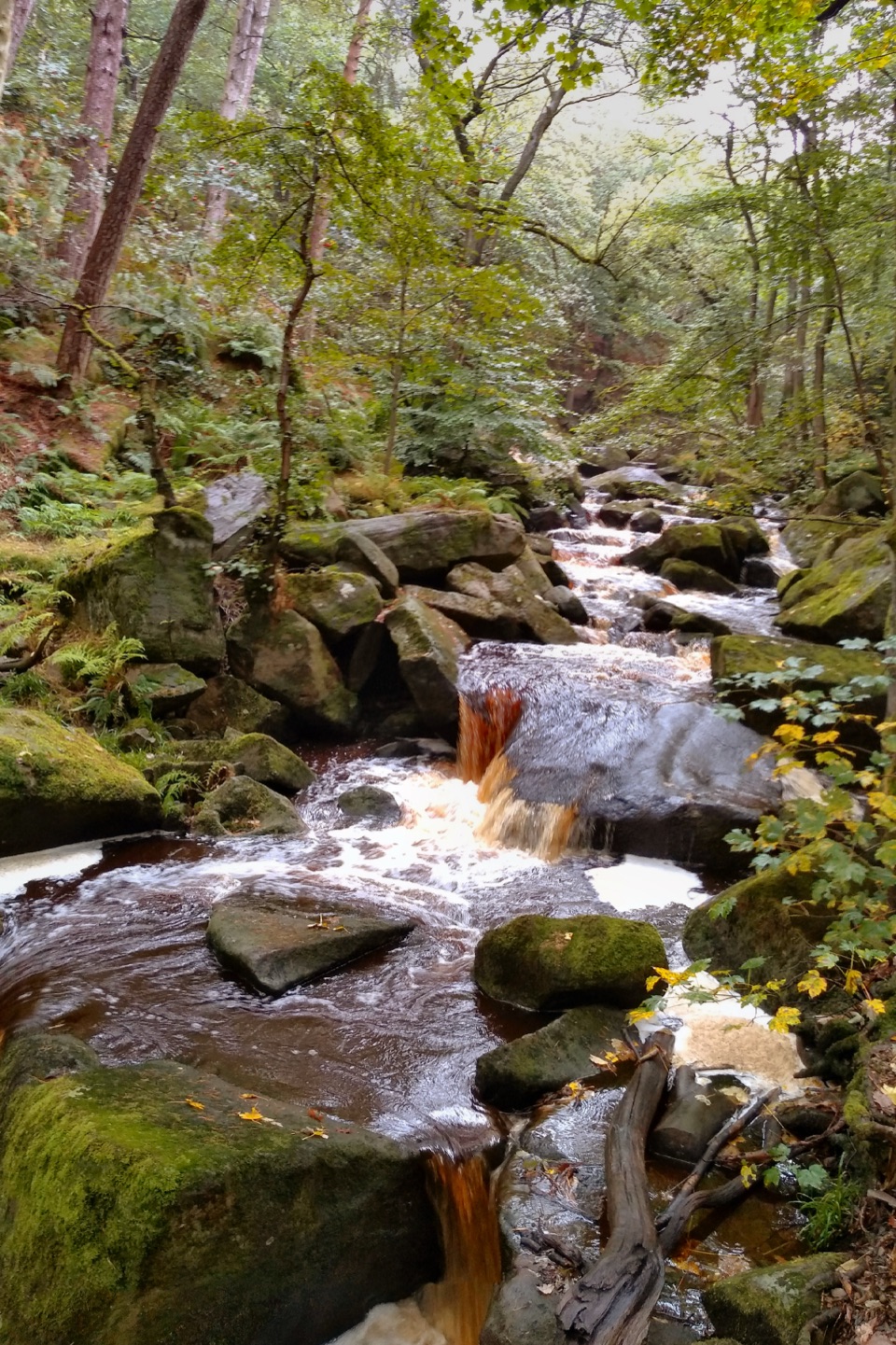
  • Padley Gorge and Longshaw
  • Surprise View
  • Longshaw Estate Walks and Café
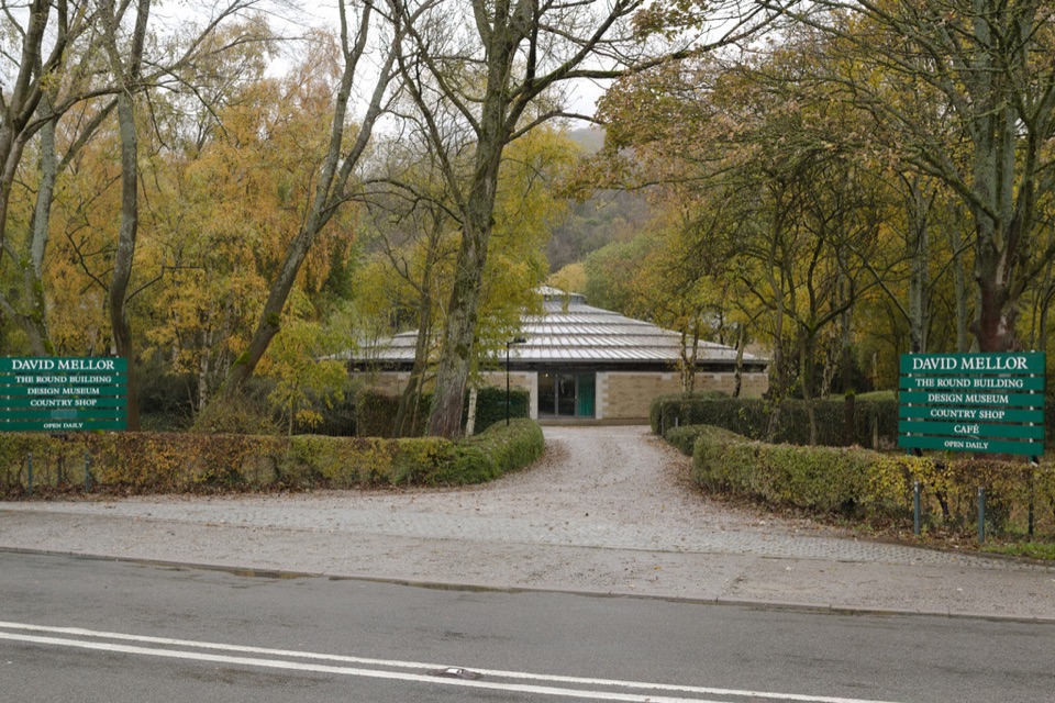
  • David Mellor Visitor Centre
  • 298 audio storiesacross Peak District’s roads, triggered by GPS as you drive
  • Wildlife heatmapsfor Red Deer, Red Fox, Eurasian Otter, and 13 more
  • Works offlinemaps, 88 trails, 76 places, and audio download before you lose signal
  • CarPlay readysimple controls built for the drive
★★★★★
“Fantastic app with many points of information… It’s great to just turn on while you’re driving and it gives you an audio tour of the national Park. We love it!!!!”
JMJamesApp Store review
Download Parkwolf on the App StoreGet Parkwolf on Google Play

4.7 from 8,600+ ratings

Guide

More about Higger Tor

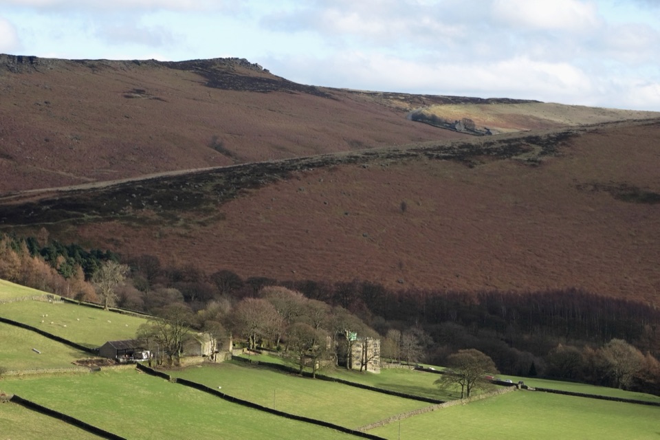
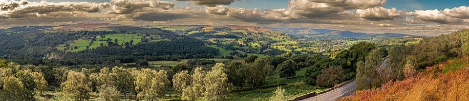
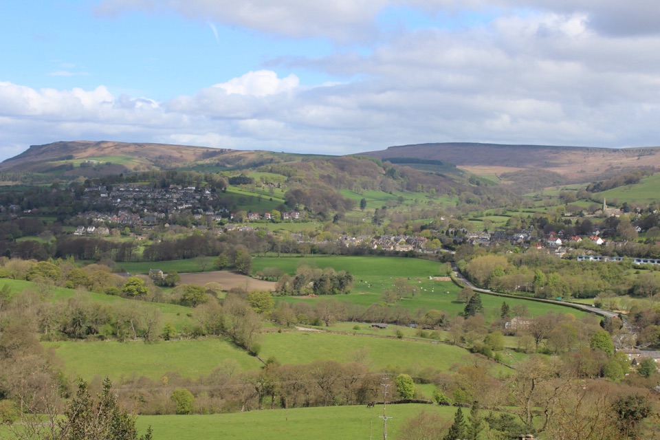
What you'll seeNorth and east over Burbage Moor and the line of gritstone edge, with Sheffield beyond.
  • North and east over Burbage Moor and the line of gritstone edge, with Sheffield beyond.
  • South across the rocky knoll of Carl Wark toward Owler Tor and the big standing block known as Mother Cap.
  • Close up, weathered boulders and slabs, including the landmark millstone outcrop.
How it differs from nearby spotsHigger Tor is a compact summit plateau you walk onto, with views in all directions opening up…

Higger Tor is a compact summit plateau you walk onto, with views in all directions opening up at once. That makes it a distinct stop from the nearby gritstone edges rather than a repeat of them.

Honest drawbacksParking nearby is limited and fills up on busy weekend mornings, and the national park asks…

Parking nearby is limited and fills up on busy weekend mornings, and the national park asks that you use the provided car parks instead of verges or habitats. Paths across the moor can be faint or hard to follow in places, so a map or offline route is worth having.

Combine it withA short walk of around three miles from Hathersage reaches the summit, and many people link the…

A short walk of around three miles from Hathersage reaches the summit, and many people link the tor with Carl Wark, the rocky outcrop just to the south that is generally regarded as an Iron Age hill fort, though its construction date is unknown and likely somewhere between 500 and 800 BC.

Wildlife

Wildlife in Peak District

All Peak District wildlife maps

Sighting maps show where each species has been reported across Peak District. Wildlife moves, so no sighting is guaranteed.

Keep exploring

Near Higger Tor

See it all on the map

Trails nearby

More stops nearby

Parkwolf’s Peak District ranking

Top sights in Peak District

All 76 places
  1. 1Chatsworth HouseSight
  2. 2Mam TorSight
  3. 3Dovedale Stepping StonesSight
  4. 4Ladybower ReservoirSight
  5. 5Stanage EdgeSight
  6. 6Kinder ScoutSight

Take Parkwolf to Peak District.

The audio tour guide for the drive, plus offline maps, trails, and wildlife heatmaps for when the signal drops.

4.7 from 8,600+ ratings

Download Parkwolf on the App StoreGet Parkwolf on Google Play