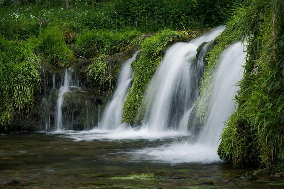
Lathkill Dale in Peak District National Park

Sight · Peak District National Park

Lathkill Dale

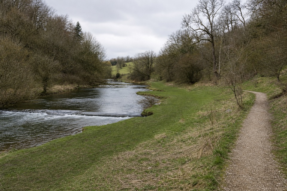
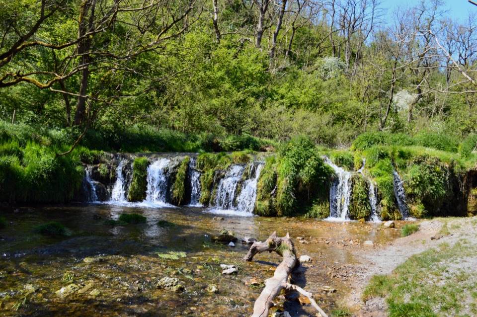
Mossy weirs, clear water and a limestone valley that runs dry

Photo: Wikimedia Commons
Type
Sight
Nearest trail
2.8 km
Audio stories
11 nearby
  • Parking

Hear the audio tour

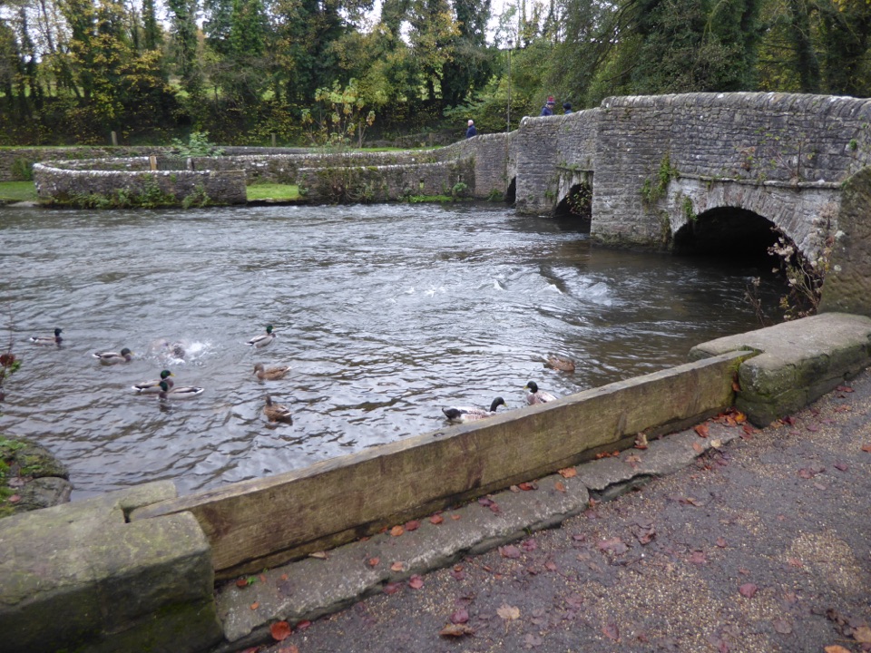
Lathkill Dale at Conksbury Bridge

Overview

About Lathkill Dale

Why stop

  • Clear river, mossy weirs and limestone scenery
  • Rich mix of gorge, woodland, grassland and wildlife

Heads up

  • Rocky, slippery paths and tricky route finding
  • River and some paths can dry out or flood depending on weather
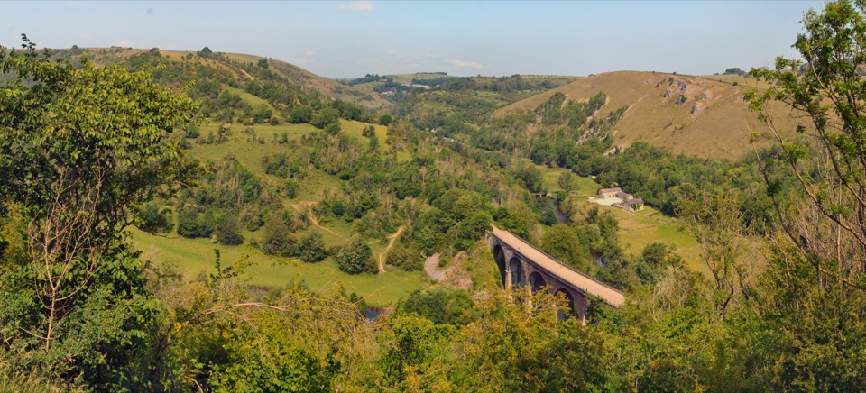
This is one of five limestone valleys making up the Derbyshire Dales National Nature Reserve, a 385 hectare reserve of which 87% is notified as SSSI. What sets it apart from neighbouring dales is the behaviour of its river: the Lathkill rises just below Monyash, yet the valley floor is dry where it crosses the Monyash to Bakewell road and stays dry for roughly a kilometre before underground water resurges at Lathkill House Cave, usually in wetter weather. In drought a further kilometre can be waterless, so the same walk can feel like a green dry gorge one month and a run of clear pools and mossy stepped falls the next.
Parkwolf’s verdictWhy stop here

Map

Where it is

Loading the Peak District map
Full map
SightLathkill Dale53.18892, -1.72579
Keep this map with you offline in the Parkwolf app

Plan your stop

Before you go

Best time to go

June and July suit flowers, and wetter spells give the fullest river and falls; after a dry summer parts of the streambed may be bare. Arriving before late morning tends to be quieter, and early light works well in a valley this steep sided. Wear sturdy footwear: limestone is slippery when wet, paths can be muddy and rocky, and the route around Ricklow Quarry is tricky because the smooth limestone is often damp. After heavy rain some sections may flood, though a way around usually exists. Take care near limestone slopes and cliff faces, caves and old mine workings, and note that mobile signal is restricted or absent in many valley bottom areas, so download maps before you set off.


Access choices

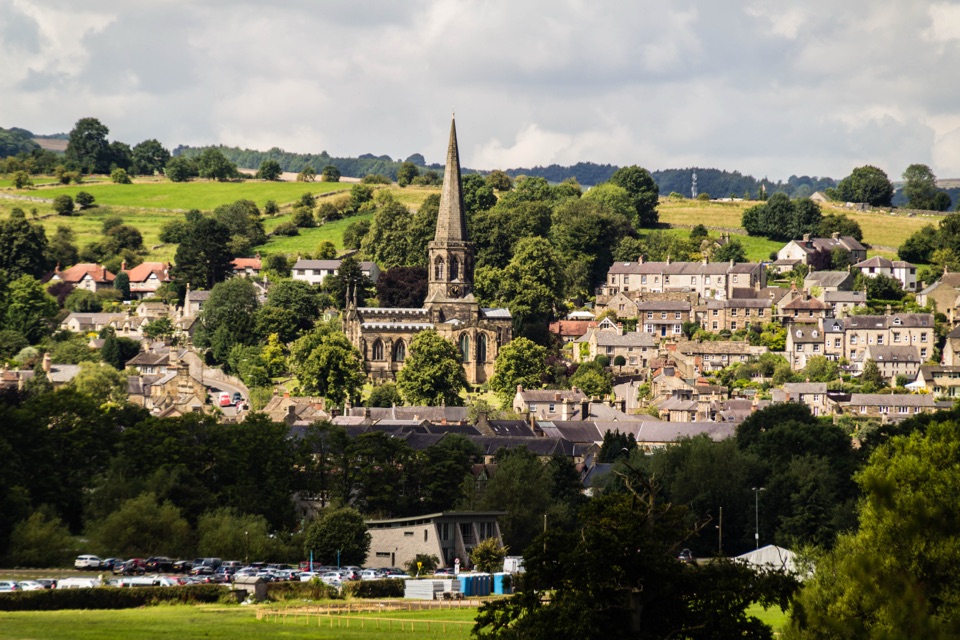
The reserve sits about two miles southwest of Bakewell, between Over Haddon, Monyash and Youlgreave, so you can pick your entry to suit the walk you want.

  • Public car park at Over Haddon, the usual way into the lower dale.
  • Public car park at Moor Lane near Youlgreave.
  • Roadside parking near the Monyash end on the B5055 for the upper dry valley.
  • A disabled parking space just above medieval Conksbury Bridge, start of a 510 m one way surfaced and gentle riverside route.

5 active Peak District alerts

  • ClosureA54 Cat and Fiddle road closureThe A54 Macclesfield Main Road (Cat and Fiddle) is fully closed to all traffic from 27 July through 30 October 2026 during phase 1 improvement works.Official details
  • ClosureHooks Carr (Stanage Popular) car park closureHooks Carr (Stanage Popular) car park will be partially or fully closed from 6 October for four weeks.Official details
See all 5 alerts
A park ranger sits on a dash-mounted phone, talking, as Parkwolf’s Tour Guide plays “Army Cutworm Moths: A Grizzly Bear Buffet” on Grand Loop Road below Dunraven Pass in Yellowstone
Parkwolf Tour GuideThe highest, rockiest slopes around here are a summer buffet for grizzly bears.

Peak District Tour Guide

Your drive to Lathkill Dale, narrated.

Parkwolf is a GPS audio tour guide for Peak District National Park. As you drive, it chimes in with what’s ahead: hidden gems, upcoming stops, history, geology, and wildlife, right through your car’s speakers.

Recorded for this place

Lathkill Dale at Conksbury Bridge
0:00 / 0:28
“You're approaching Conksbury Bridge, a short riverside way into the lower Lathkill Dale.”

Plays as you drive up to Lathkill Dale in the Parkwolf Peak District Tour Guide.

More stories near here in the app

  • A River to Drain a Mine
  • Ashford's Black Marble
  • Where the Lathkill Begins
  • A Street Beneath the Grass
  • 298 audio storiesacross Peak District’s roads, triggered by GPS as you drive
  • Wildlife heatmapsfor Red Deer, Red Fox, Eurasian Otter, and 13 more
  • Works offlinemaps, 88 trails, 76 places, and audio download before you lose signal
  • CarPlay readysimple controls built for the drive
★★★★★
“Fantastic app with many points of information… It’s great to just turn on while you’re driving and it gives you an audio tour of the national Park. We love it!!!!”
JMJamesApp Store review
Download Parkwolf on the App StoreGet Parkwolf on Google Play

4.7 from 8,600+ ratings

Guide

More about Lathkill Dale

What you see and doWalking is the point, and the dale rewards a linear stroll rather than a rush.

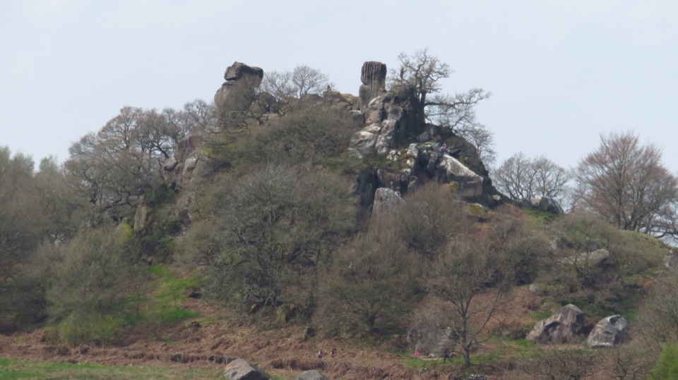
Walking is the point, and the dale rewards a linear stroll rather than a rush. Expect steep limestone sides, rocky crags, valley woodland, limestone grassland, scrub, hay meadows, dew ponds and scree, with small patches of limestone heath and acid grassland. Below Over Haddon the Blue Waters pool marks where an impervious basalt layer forces underground water back to the surface, and downstream a series of weirs, built to encourage trout breeding and to form fishing pools, creates calm stretches. Views open up between the wooded sections, and the upper dale gives the widest sense of the dry valley cut into pasture.

Easier lower dale, rougher upper daleThe lower half can be reached from the Over Haddon end along a level track that suits…

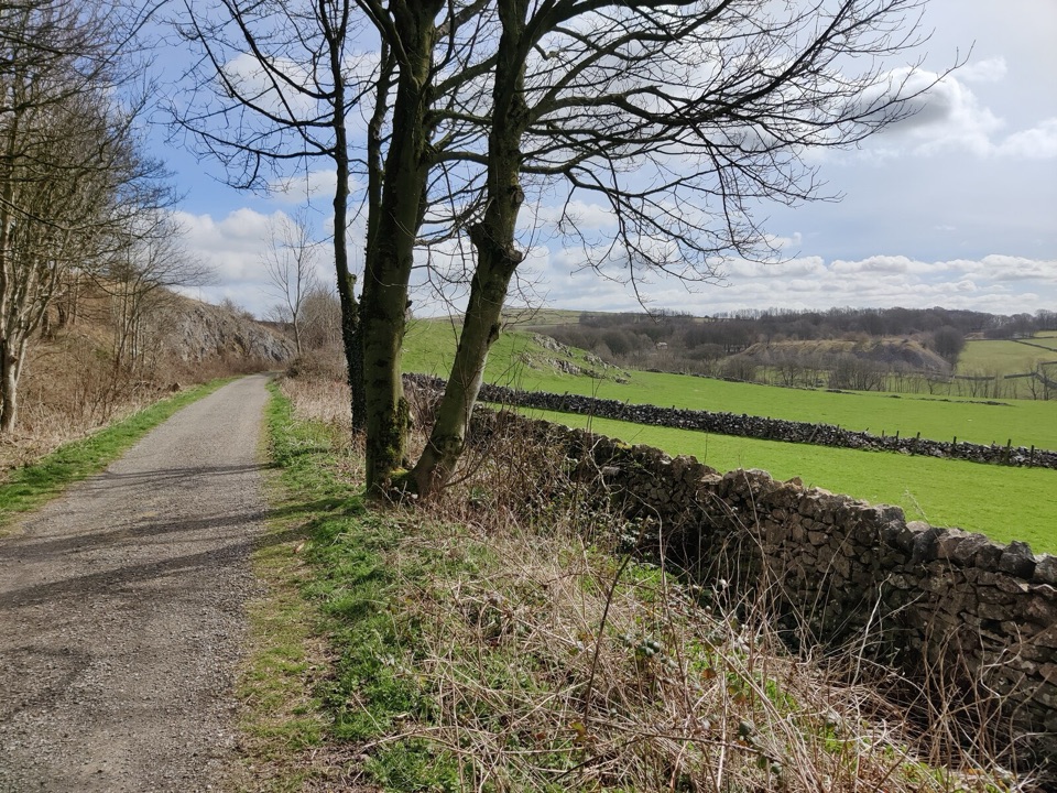
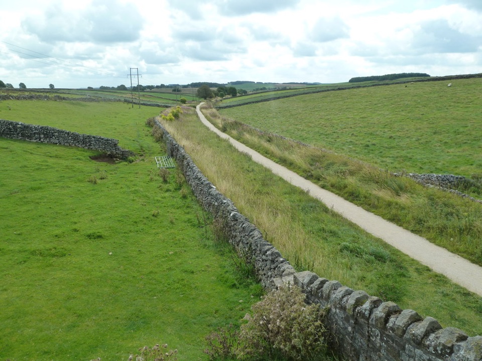
The lower half can be reached from the Over Haddon end along a level track that suits wheelchairs and pushchairs, with disabled parking spaces a short distance away, and the easiest walking runs along that track as far as Bateman's House. Parts of that route are concessionary and can be subject to closure during the pheasant shooting season, so have a fallback plan. Beyond the track the character changes: the path from Over Haddon drops by a steep lane, and the area is generally wild, with uneven surfaces, steep steps, occasional light scrambling and stretches where route finding takes attention. There are no bridleways on the reserve, so horses, mountain biking and other cycling are not permitted.

Wildlife to watch forNothing is guaranteed, but the habitat mix supports a lot.

Nothing is guaranteed, but the habitat mix supports a lot. Redstarts are reported in the shady wooded gorge, while wheatear, raven, buzzard and peregrine use the open upper dale. Grey wagtail and water vole are noted around Sheepwash Bridge, dippers around a mossy rock step and again at the weirs, and the calmer weir water suits ducks, kingfisher, moorhen and coot. Woodland birds include blackcap, chiffchaff, willow and garden warblers, great spotted woodpecker, spotted flycatcher and tawny owl. Jacob's ladder, a rare plant here, flowers in June and July.

Geology and historyThe river runs over Carboniferous Limestone and flows east to join the Wye just below Haddon…

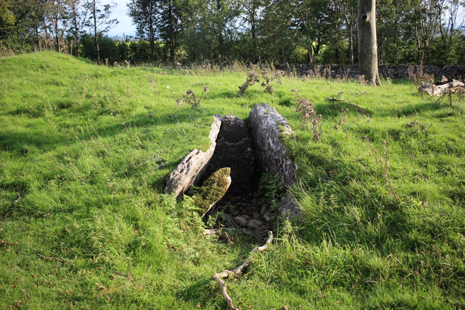
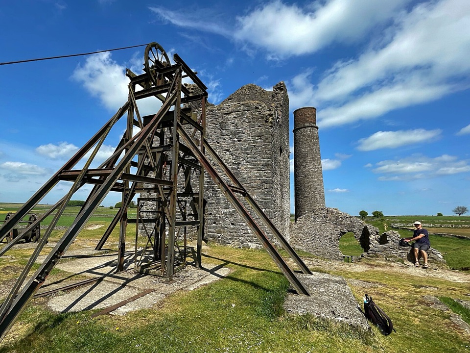
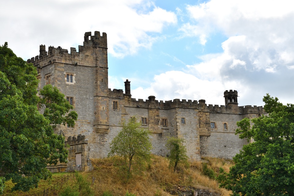
The river runs over Carboniferous Limestone and flows east to join the Wye just below Haddon Hall, while the dale system continues towards Alport and the River Bradford. The upper western end takes in Ricklow Quarry, known for important Gigantoproductus fossil exposures, and the Conksbury area holds a deserted medieval settlement recorded in Domesday Book. Fossil collecting is not allowed, and the northern faces at Ricklow Quarry are extremely unstable and must not be approached.

Wildlife

Wildlife in Peak District

All Peak District wildlife maps

Sighting maps show where each species has been reported across Peak District. Wildlife moves, so no sighting is guaranteed.

Keep exploring

Near Lathkill Dale

See it all on the map

Trails nearby

More stops nearby

Parkwolf’s Peak District ranking

Top sights in Peak District

All 76 places
  1. 1Chatsworth HouseSight
  2. 2Mam TorSight
  3. 3Dovedale Stepping StonesSight
  4. 4Ladybower ReservoirSight
  5. 5Stanage EdgeSight
  6. 6Kinder ScoutSight

Take Parkwolf to Peak District.

The audio tour guide for the drive, plus offline maps, trails, and wildlife heatmaps for when the signal drops.

4.7 from 8,600+ ratings

Download Parkwolf on the App StoreGet Parkwolf on Google Play