Parking
Start at the disabled parking space just above Conksbury Bridge. It is reserved for Blue Badge holders and fits one or two cars; additional roadside parking is farther up the steep hill toward Bakewell.
Peak District National Park, EN
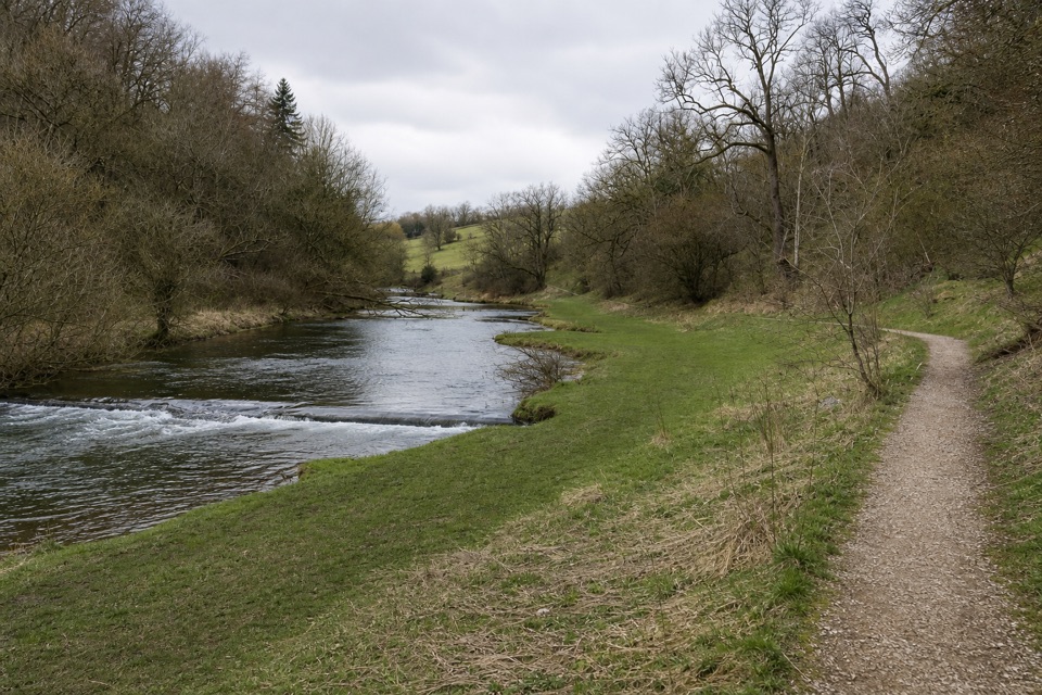
A flat riverside path ends where the firm limestone surface does.
Overview
Map & elevation
Plan your hike

The highest, rockiest slopes around here are a summer buffet for grizzly bears.
Peak District Tour Guide
Parkwolf is a GPS audio tour guide for Peak District National Park. As you drive, it chimes in with what’s ahead: hidden gems, upcoming stops, history, geology, and wildlife, right through your car’s speakers.
Recorded for this trailhead
Lathkill Dale at Conksbury Bridge“You're approaching Conksbury Bridge, a short riverside way into the lower Lathkill Dale.”
Plays as you drive up to this trailhead in the Parkwolf Peak District Tour Guide.
More stories near here in the app
“Fantastic app with many points of information… It’s great to just turn on while you’re driving and it gives you an audio tour of the national Park. We love it!!!!”


Trail guide
Conksbury Miles without Stiles is a level out-and-back from the disabled parking space above medieval Conksbury Bridge. The park lists 510 m each way, about 1.02 km (0.63 mi) round trip, on a surfaced, compacted-limestone path beside the River Lathkill. It is classified as Access for All. Allow about 20 minutes. Turn around where the firm surface ends and return by the same path; this is a short river visit, not a walk deeper into Lathkill Dale.
A gate sits at the start and another partway along; livestock graze the surrounding land. Dippers and other waterbirds frequent the river’s weirs, built to encourage fish breeding. Across the water, earthworks on the plateau mark the deserted settlement of Conksbury, recorded in the Domesday Book in 1086. A Vickers Wellington crashed nearby in 1941 after losing its way back from a mission; the crew had already bailed out.
The route begins at the disabled parking space just above the bridge. It is reserved for Blue Badge holders and fits one or two cars; other roadside parking is farther up the steep hill toward Bakewell. There are no seats or picnic tables in the dale; food, toilets and drinking water were not identified at the walk. Over Haddon and Youlgreave are the nearest listed facilities. Dogs may join, but keep them under control around livestock and leave gates as you found them.
Wildlife
 248 sightingsRed DeerMost seen around 7 AMSighting map
 36 sightingsRed FoxMost seen around 6 AMSighting map
 15 sightingsEurasian OtterMost seen around 7 PMSighting map
 51 sightingsPeregrine FalconMost seen around 6 PMSighting map
 47 sightingsEuropean Fallow DeerMost seen around 6 AMSighting map
 54 sightingsWestern Roe DeerMost seen around 7 PMSighting map
Sighting maps show where each species has been reported across Peak District. Wildlife moves, so no sighting is guaranteed.
Keep exploring
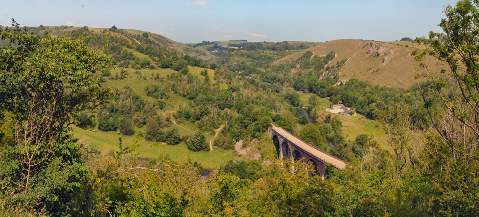 ChallengingMonsal Trail and Monsal Dale Loop from Bakewell19.7 km · 5.5 hr · 2.8 km awayViaduct views, a river dale and a lead mine in one loop
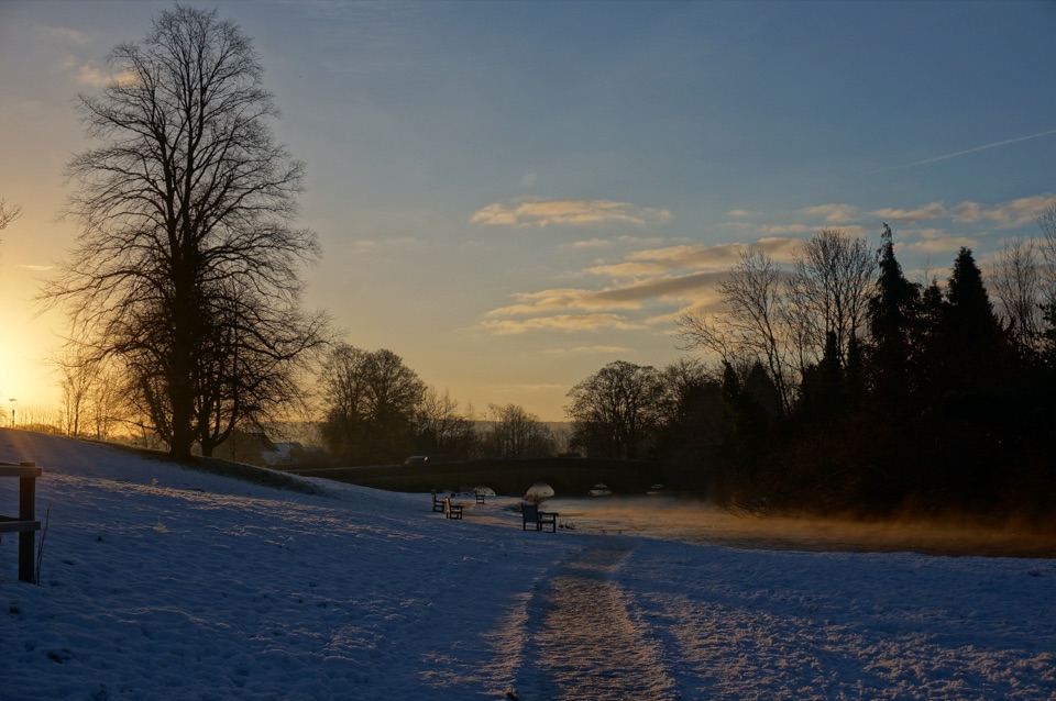 EasyBakewell and the River Wye Loop3.2 km · 1 hr · 3.1 km awayA short town loop for millstreams, old bridges and the River Wye.
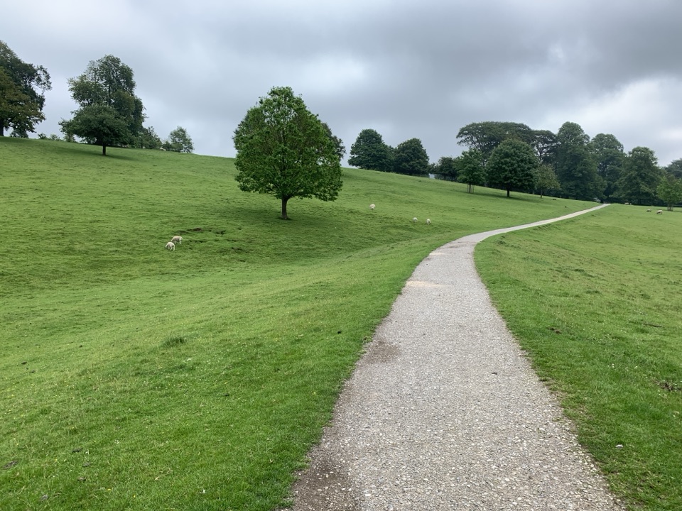 EasyChatsworth and Edensor Circular6.1 km · 1.8 hr · 5.5 km awayCountry lanes, a steep village descent and Chatsworth in view.
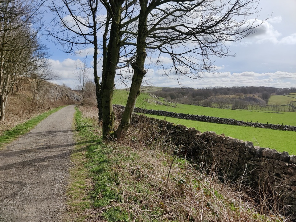 EasyParsley Hay Miles Without Stiles8 km · 2 hr · 6.8 km awayAn easy railway trail to a signal box, fields and picnic wood.
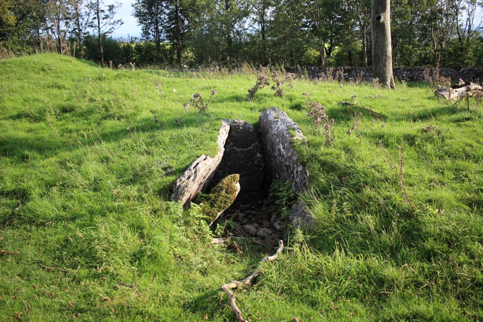 EasyMinninglow Circular4.7 km · 1.5 hr · 7.6 km awayRailway embankments, ancient tombs and a short, steep hill climb.
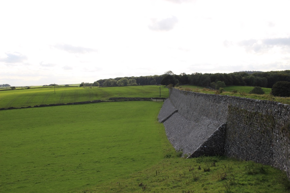 EasyRoystone Grange Trail5.8 km · 2.3 hr · 7.6 km awayAn old railway, a hilltop tomb and a working White Peak farm.
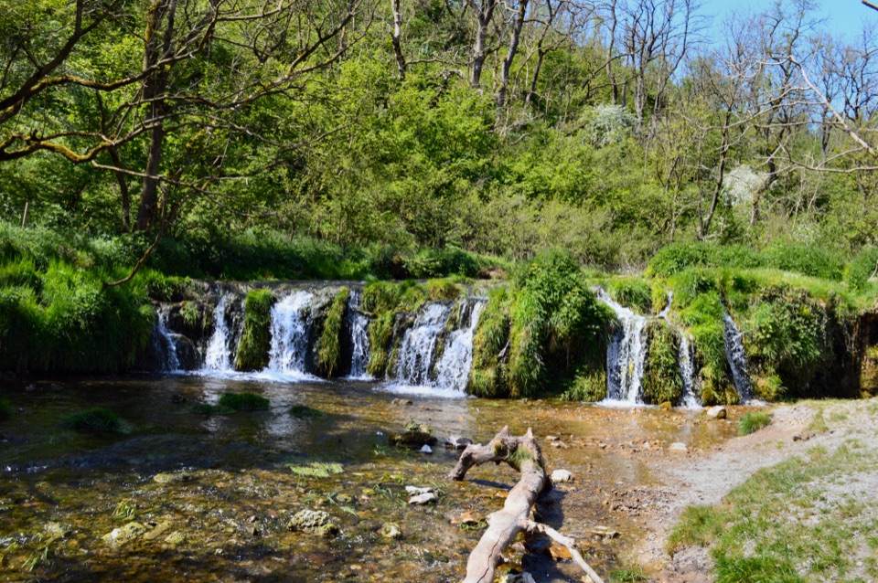 ChallengingSix Dales Circuit from Biggin41.5 km · 12 hr · 8.5 km awayA full day through six very different limestone dales
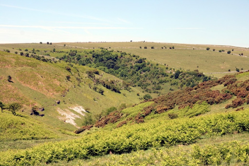 EasyCoombs Dale Miles without Stiles3.2 km · 1.3 hr · 9.7 km awayAn easy-access limestone dale walk with a surfaced track and benches
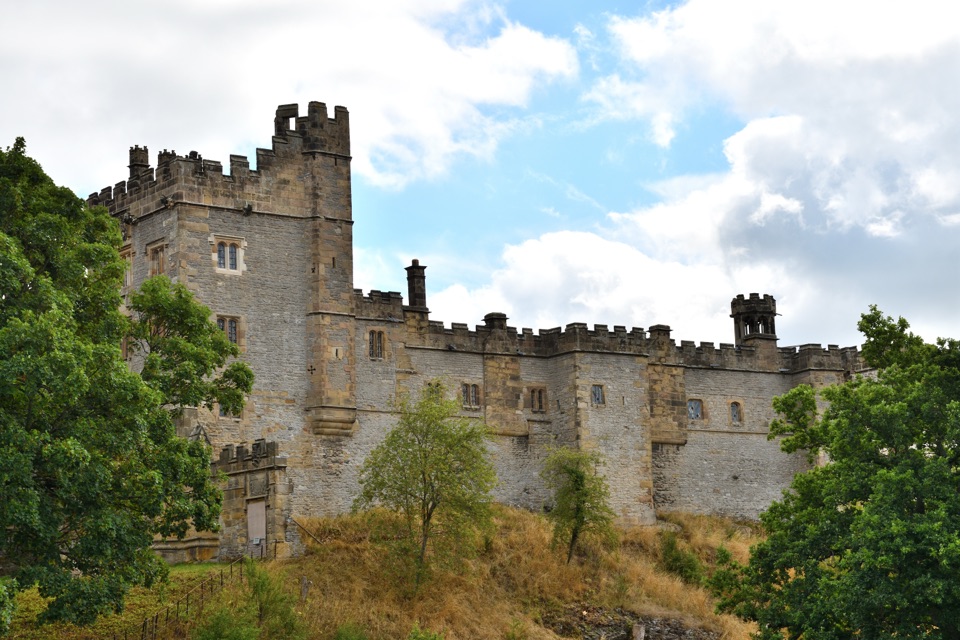 Sight · 2.3 km awayHaddon HallA 900-year-old family home with medieval halls and terraced Wye gardens
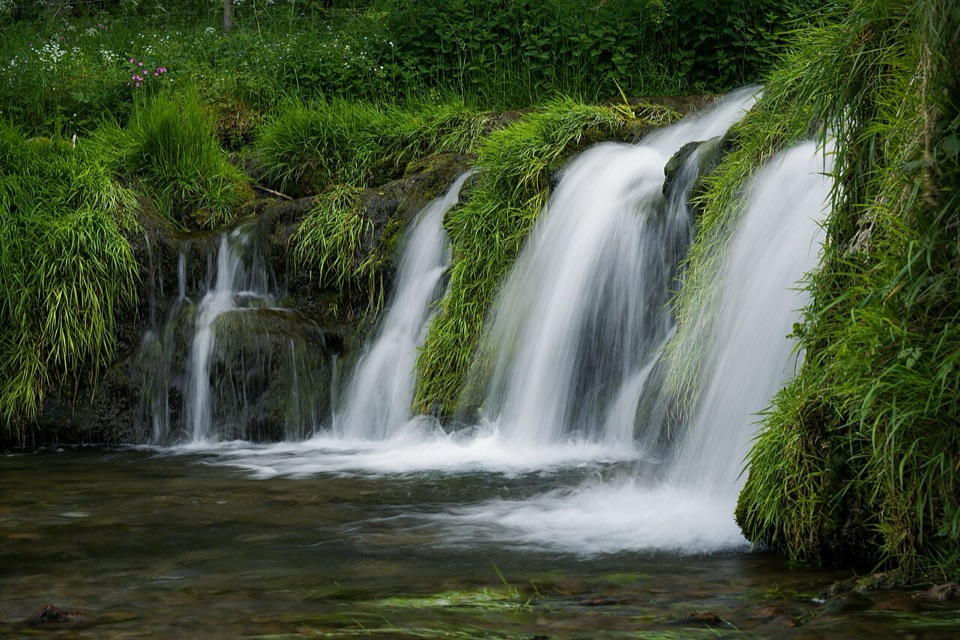 Sight · 2.8 km awayLathkill DaleMossy weirs, clear water and a limestone valley that runs dry
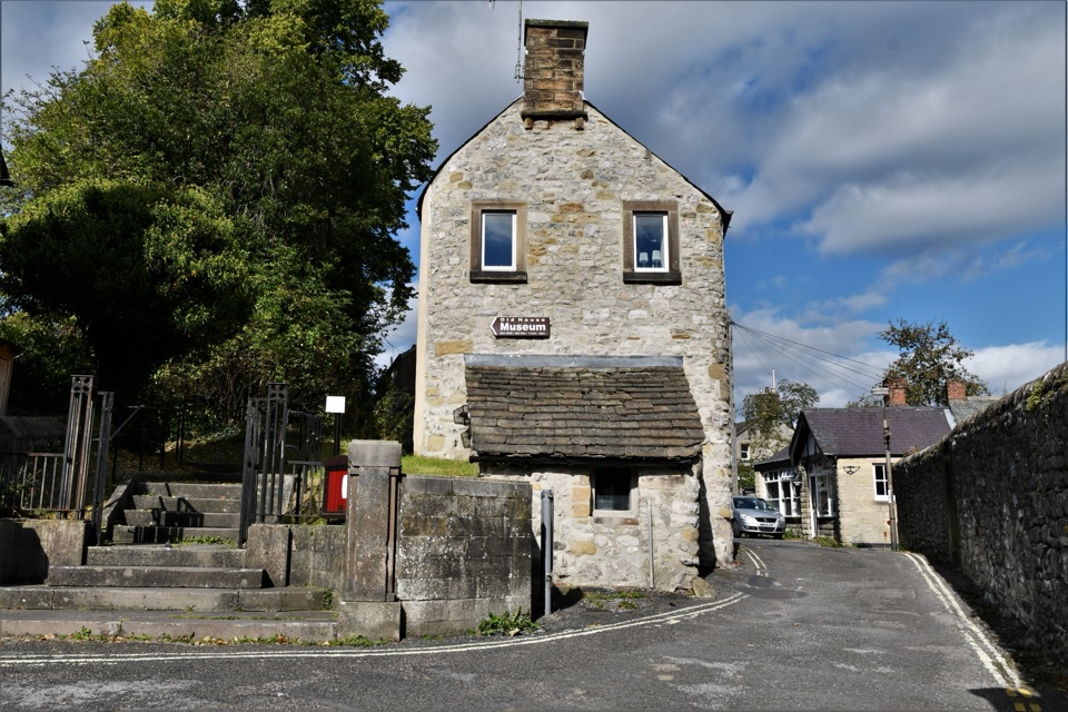 Sight · 2.9 km awayBakewell Old House Museum1534 tithe house hiding Tudor wattle and daub above town
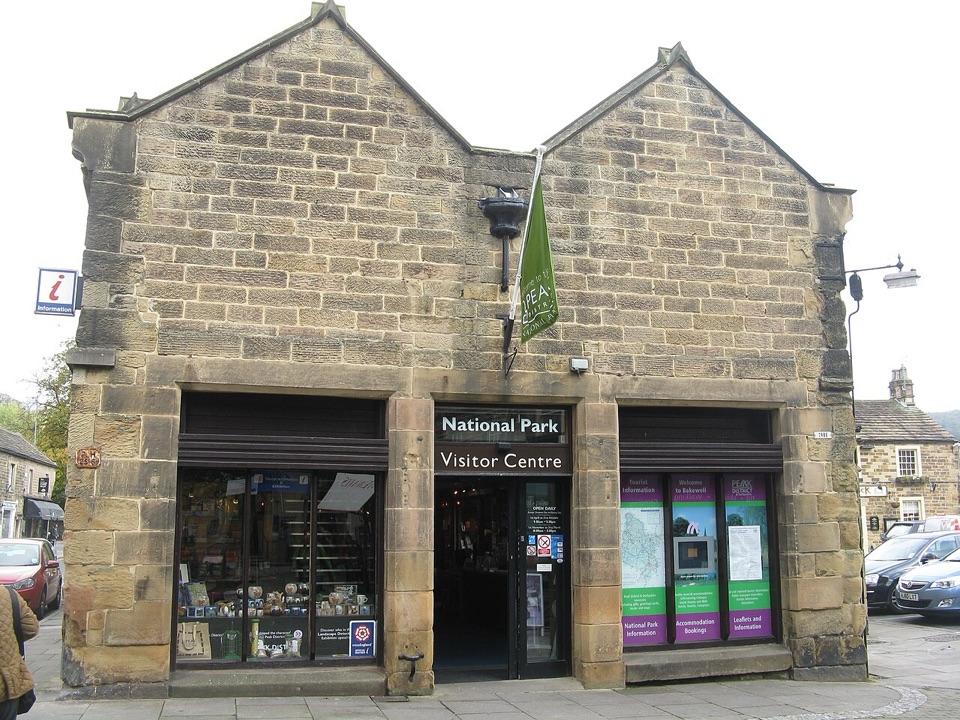 Visitor center · 3 km awayNational Park Centre - BakewellMaps, route advice and a gallery in Bakewell's 17th-century market hall
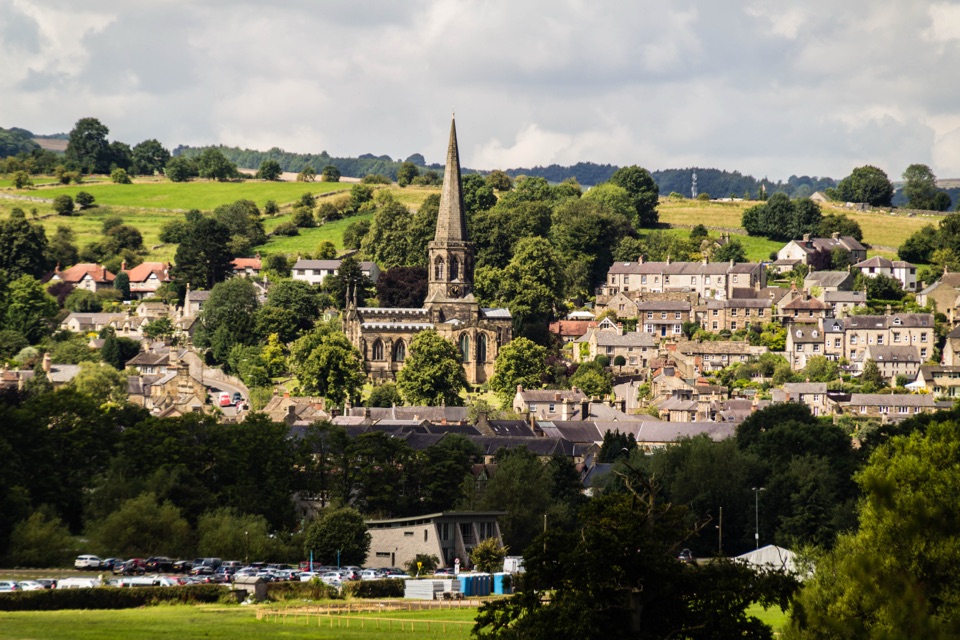 Sight · 3.1 km awayBakewellMellow stone streets, a five-arched bridge and Monday market stalls
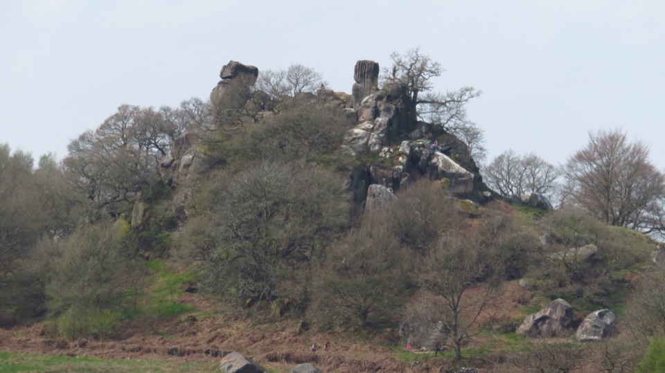 Sight · 3.6 km awayRobin Hood's StrideTwin gritstone pinnacles, ancient cup-marks and wide Harthill Moor views
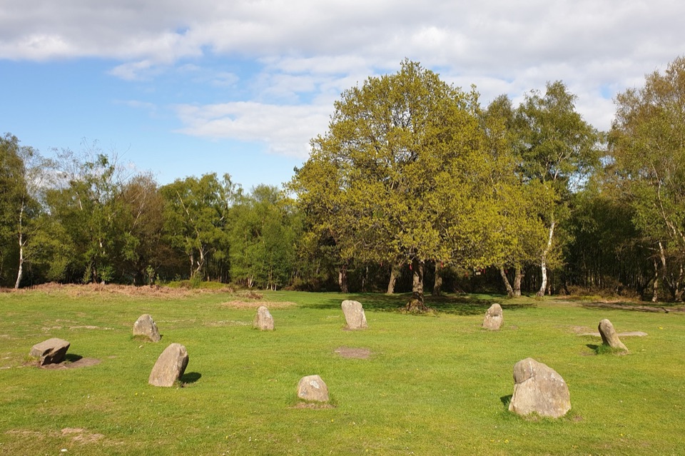 Sight · 4.3 km awayNine Ladies Stone CircleTen weathered stones on open moorland, wrapped in a dancing legend
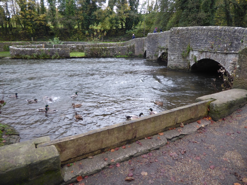 Sight · 4.5 km awayAshford-in-the-WaterMedieval sheepwash bridge, limestone lanes and gentle Wye walks
Parkwolf’s Peak District ranking
 The Roaches and Lud’s Church Circular from Hen CloudModerate · 12.2 km
 Mam Tor Circular WalkModerate · 4.8 km
 Castleton, Mam Tor & the Great Ridge WalkModerate · 10.5 km
 Stanage Edge from HathersageModerate · 10.6 km
 Kinder Scout Circular via Jacob’s LadderChallenging · 12.1 km
 Padley Gorge and Burbage Brook WalkEasy · 3.7 km
The audio tour guide for the drive, plus offline maps, trails, and wildlife heatmaps for when the signal drops.