Parking
Start at Minninglow Car Park off Mouldridge Lane (DE4 2PN; grid reference SK 19459 58157). The loop returns to this access.
Peak District National Park, EN
Railway embankments, ancient tombs and a short, steep hill climb.
Overview
Map & elevation
Plan your hike

The highest, rockiest slopes around here are a summer buffet for grizzly bears.
Peak District Tour Guide
Parkwolf is a GPS audio tour guide for Peak District National Park. As you drive, it chimes in with what’s ahead: hidden gems, upcoming stops, history, geology, and wildlife, right through your car’s speakers.
Recorded for this trailhead
Minninglow Hill and Its Ancient Tombs“You're approaching Minninglow Car Park, the start of a three-mile loop that follows an old railway embankment and climbs to ancient tombs beneath two rings of beech trees.”
Plays as you drive up to this trailhead in the Parkwolf Peak District Tour Guide.
More stories near here in the app
“Fantastic app with many points of information… It’s great to just turn on while you’re driving and it gives you an audio tour of the national Park. We love it!!!!”


Trail guide
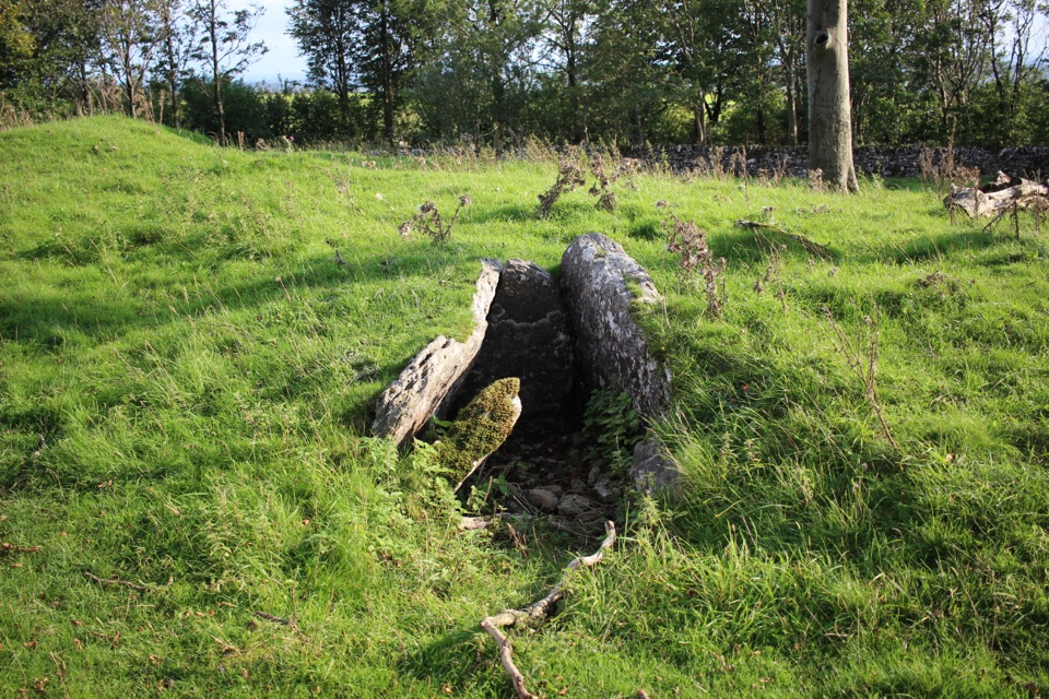
Minninglow Circular is a 2.94-mile loop from Minninglow Car Park, following the High Peak Trail to Minninglow Hill and farm lanes back. Neolithic chambered tombs sit under two rings of beech trees. Allow 1–2 hours. Most of the route is easy, but the short climb to the hill is steep and rough. A separate 2.4-mile loop leaves the hill as an optional detour.
Follow the 1830s Cromford and High Peak Railway embankment into a deep cutting, past an old quarry crane. A signed concessionary path climbs Minninglow on rough limestone slabs. Gates lead into beech woodland around the Neolithic tombs and a later Bronze Age mound. Leave through the far-side gate, cross fields to a green lane, then continue over the High Peak Trail on Minninglow Lane. Pass a farm and fishing ponds before the quiet road back to the car park. Look back along the lane for the double ring of beeches around the summit.
The walk uses a broad gravel trail, field paths, farm lanes and a quiet road. There are several gates and, according to the route directions, no stiles. Start at Minninglow Car Park off Mouldridge Lane (DE4 2PN; grid reference SK 19459 58157).
Wildlife
 248 sightingsRed DeerMost seen around 7 AMSighting map
 36 sightingsRed FoxMost seen around 6 AMSighting map
 15 sightingsEurasian OtterMost seen around 7 PMSighting map
 51 sightingsPeregrine FalconMost seen around 6 PMSighting map
 47 sightingsEuropean Fallow DeerMost seen around 6 AMSighting map
 54 sightingsWestern Roe DeerMost seen around 7 PMSighting map
Sighting maps show where each species has been reported across Peak District. Wildlife moves, so no sighting is guaranteed.
Keep exploring
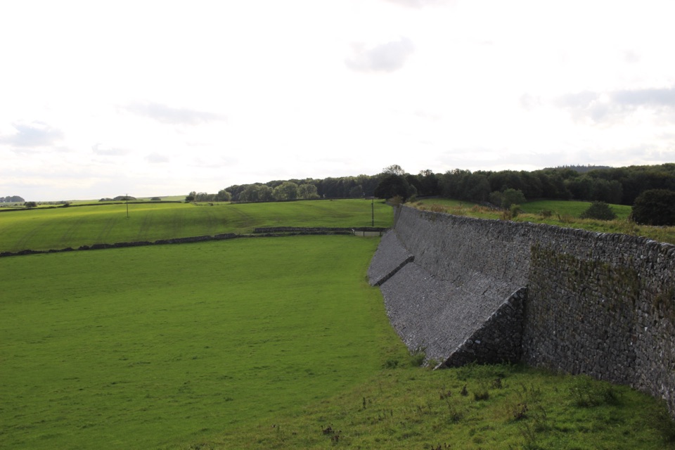 EasyRoystone Grange Trail5.8 km · 2.3 hr · At the trailheadAn old railway, a hilltop tomb and a working White Peak farm.
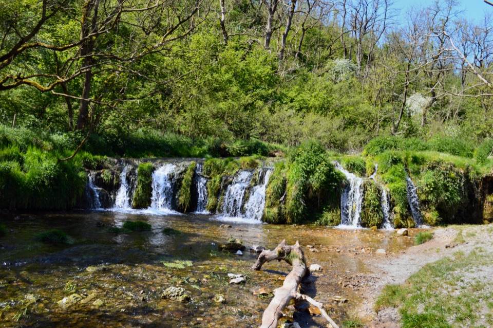 ChallengingSix Dales Circuit from Biggin41.5 km · 12 hr · 4.1 km awayA full day through six very different limestone dales
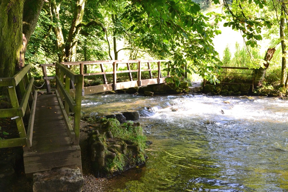 ModerateHartington – The Dales of the River Dove Walk8.9 km · 3 hr · 7 km awayA limestone dale loop linking riverside paths, bridges and open fields.
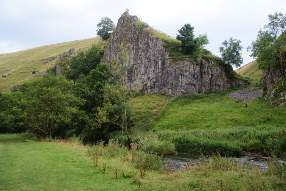 ModerateWolfscote Dale and Biggin Dale Circular8.7 km · 3.3 hr · 7 km awayFollow the Dove through three dales and two small caves
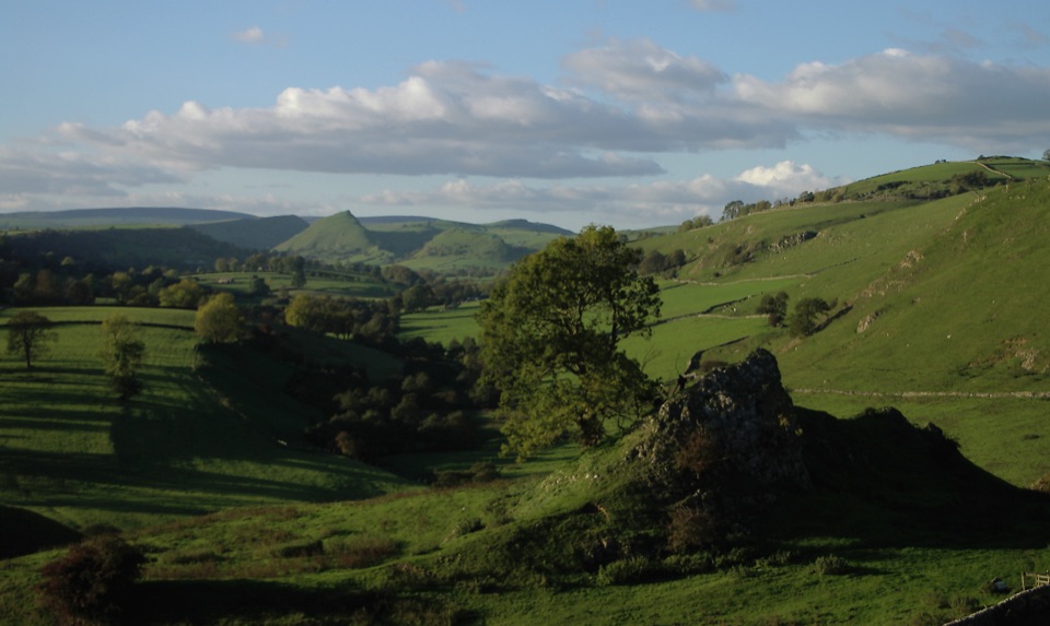 ModerateHartington to Pilsbury Castle8.9 km · 3.1 hr · 7 km awayA Hartington out-and-back through the Dove valley to Pilsbury Castle.
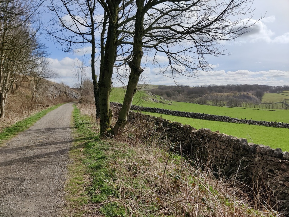 EasyParsley Hay Miles Without Stiles8 km · 2 hr · 7.3 km awayAn easy railway trail to a signal box, fields and picnic wood.
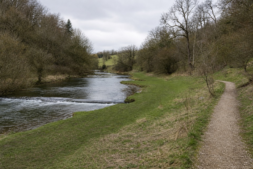 EasyConksbury Miles without Stiles1 km · 20 min · 7.6 km awayA flat riverside path ends where the firm limestone surface does.
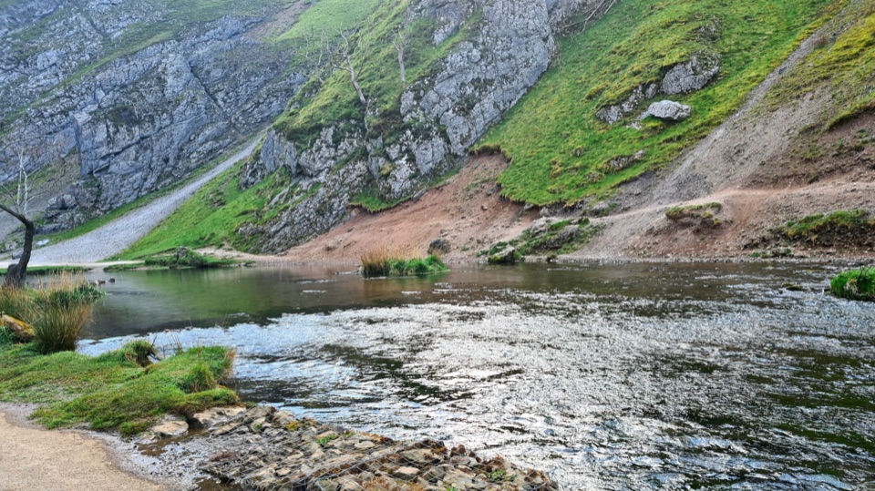 ModerateDovedale to Milldale Walk9.7 km · 4.5 hr · 8.6 km awayFollow the Dove past limestone spires to Milldale.
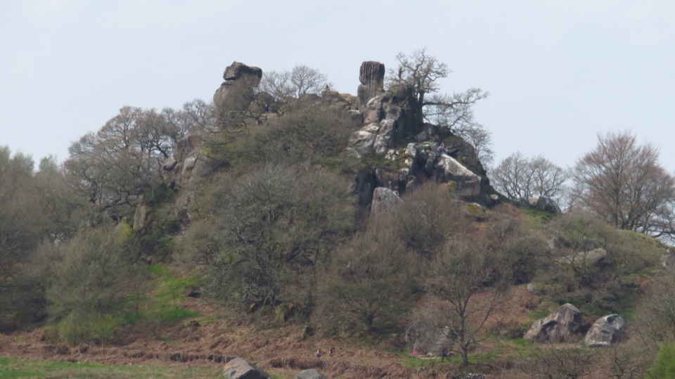 Sight · 5.1 km awayRobin Hood's StrideTwin gritstone pinnacles, ancient cup-marks and wide Harthill Moor views
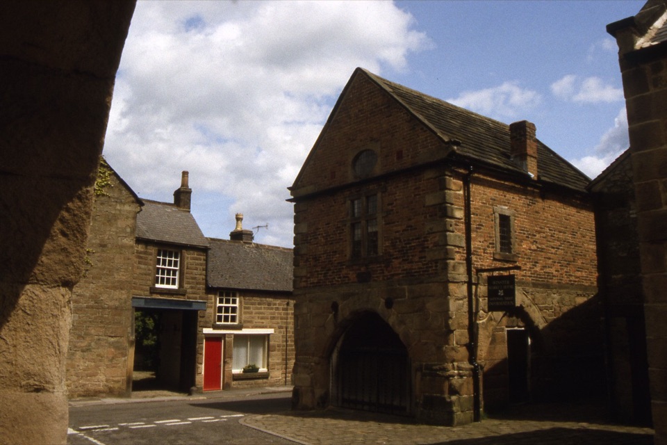 Sight · 5.3 km awayWinster Market HouseFree upstairs history room in a listed 17th-century market house
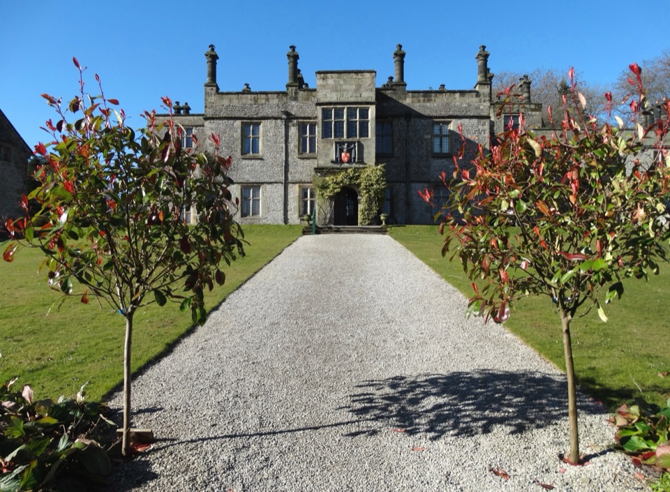 Sight · 6.1 km awayTissington HallJacobean family seat since 1609, open on selected guided-tour days
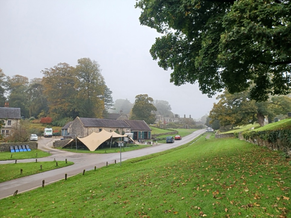 Sight · 6.2 km awayTissingtonJacobean hall, Norman church and duck pond along one estate street
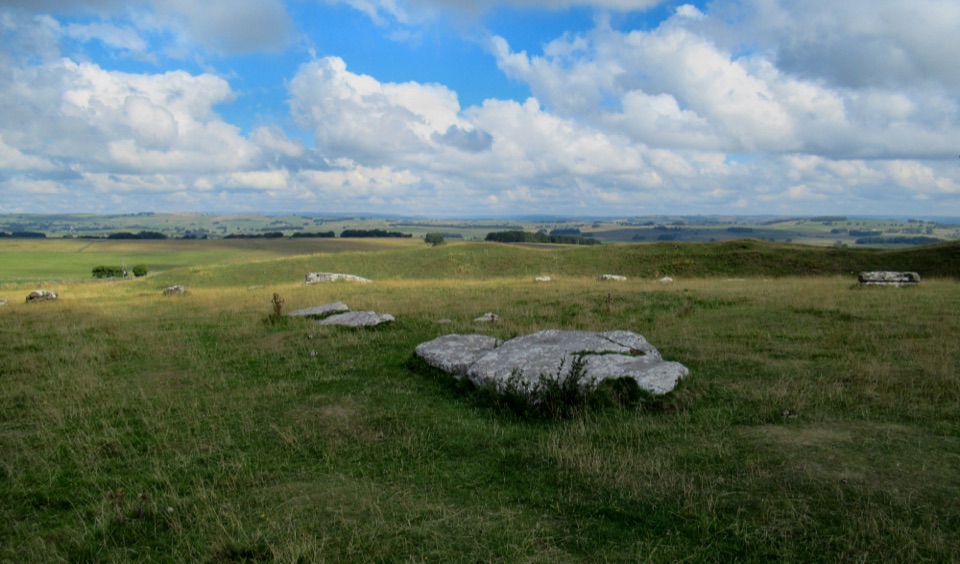 Sight · 6.4 km awayArbor Low Stone Circle and Gib Hill BarrowFallen limestone slabs ring a Neolithic henge with long Derbyshire views
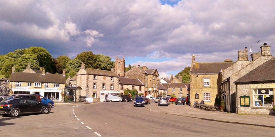 Sight · 7 km awayHartingtonDuck-pond square, a long-standing cheese shop, and footpaths into Dovedale
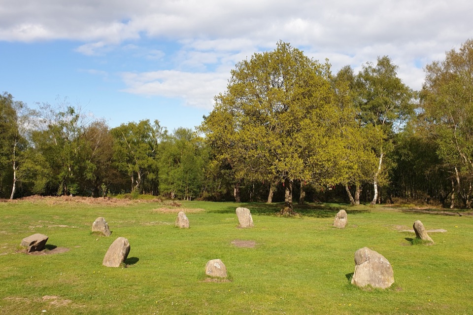 Sight · 7.6 km awayNine Ladies Stone CircleTen weathered stones on open moorland, wrapped in a dancing legend
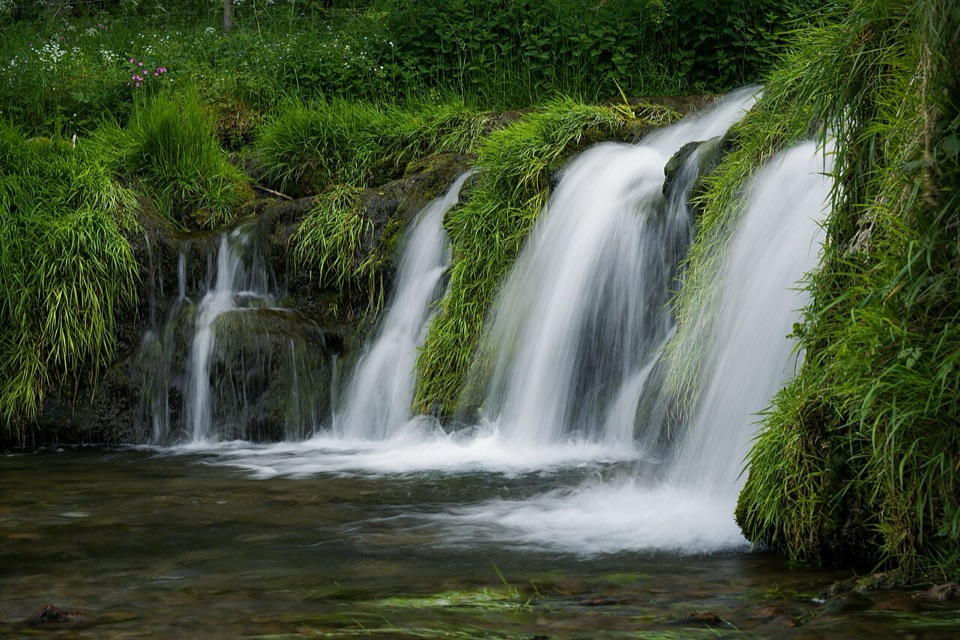 Sight · 7.7 km awayLathkill DaleMossy weirs, clear water and a limestone valley that runs dry
Parkwolf’s Peak District ranking
 The Roaches and Lud’s Church Circular from Hen CloudModerate · 12.2 km
 Mam Tor Circular WalkModerate · 4.8 km
 Castleton, Mam Tor & the Great Ridge WalkModerate · 10.5 km
 Stanage Edge from HathersageModerate · 10.6 km
 Kinder Scout Circular via Jacob’s LadderChallenging · 12.1 km
 Padley Gorge and Burbage Brook WalkEasy · 3.7 km
The audio tour guide for the drive, plus offline maps, trails, and wildlife heatmaps for when the signal drops.