Parking
Use Bakewell town-centre parking, including the Market Place car park beside the Peak District visitor centre. Walk through town to the South Church Street start; the station car park serves the separate Monsal Trail access.
Peak District National Park, EN
Viaduct views, a river dale and a lead mine in one loop
Overview
Map & elevation
Plan your hike

The highest, rockiest slopes around here are a summer buffet for grizzly bears.
Peak District Tour Guide
Parkwolf is a GPS audio tour guide for Peak District National Park. As you drive, it chimes in with what’s ahead: hidden gems, upcoming stops, history, geology, and wildlife, right through your car’s speakers.
Recorded for this trailhead
Bakewell and the River Wye“You're nearing Bakewell, where I'd park once and explore the stone streets and River Wye on foot.”
Plays as you drive up to this trailhead in the Parkwolf Peak District Tour Guide.
More stories near here in the app
“Fantastic app with many points of information… It’s great to just turn on while you’re driving and it gives you an audio tour of the national Park. We love it!!!!”


Trail guide
This 12.3-mile loop starts on South Church Street in Bakewell and links the Monsal Trail, Monsal Dale, farm paths, Sheldon, Magpie Mine and Over Haddon before returning to town. Allow five to six hours; the route is graded hard. One older written figure gives 11.7 miles, but the mapped line measures 12.26, so plan for the longer distance. Choose it for a full day of changing scenery, not just a quick look at the viaduct.
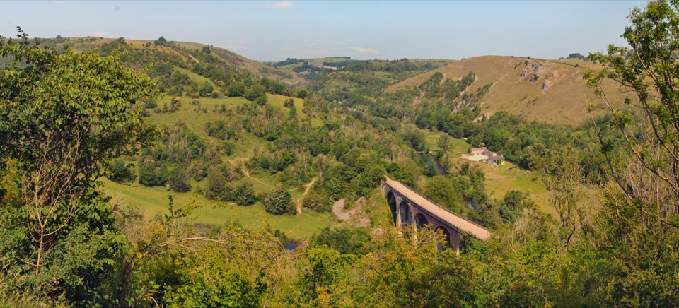
From Bakewell climb to the former station, then walk west on the nearly level, surfaced railway trail. After about two miles, leave before a tunnel and cross fields to Little Longstone; village pavement leads to Monsal Head. The viewpoint looks down over Monsal Dale and Headstone Viaduct. Step back and frame the viaduct with the green valley beneath it. Limestone around the dale formed in a tropical sea more than 350 million years ago; the railway’s construction drew criticism from John Ruskin.
Descend steeply from Monsal Head to the viaduct, cross it, then follow the River Wye past a weir to the A6. Beyond the road, climb to a short stream crossing and stile, followed by the hardest ascent out of the dale. Expect steep, sometimes awkward footing. Rolling fields take you to Sheldon and Magpie Mine; mining ended in 1952, and the old buildings make a worthwhile pause. Short public-road stretches and more fields lead down to Over Haddon, then paths and the residential edge bring you back to Bakewell. Watch for the footpath turn after Over Haddon; it’s easy to walk past.
Use Bakewell town-centre parking, including the Market Place car park beside the visitor centre, then walk to the South Church Street start. This is not the station car park for the separate Monsal Trail. Dogs are allowed; keep them on a lead on the Monsal Trail and around livestock, and under effective control on public rights of way.
Wildlife
 248 sightingsRed DeerMost seen around 7 AMSighting map
 36 sightingsRed FoxMost seen around 6 AMSighting map
 15 sightingsEurasian OtterMost seen around 7 PMSighting map
 51 sightingsPeregrine FalconMost seen around 6 PMSighting map
 47 sightingsEuropean Fallow DeerMost seen around 6 AMSighting map
 54 sightingsWestern Roe DeerMost seen around 7 PMSighting map
Sighting maps show where each species has been reported across Peak District. Wildlife moves, so no sighting is guaranteed.
Keep exploring
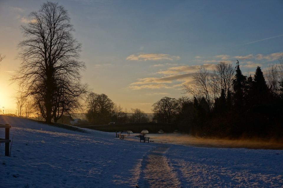 EasyBakewell and the River Wye Loop3.2 km · 1 hr · 0.5 km awayA short town loop for millstreams, old bridges and the River Wye.
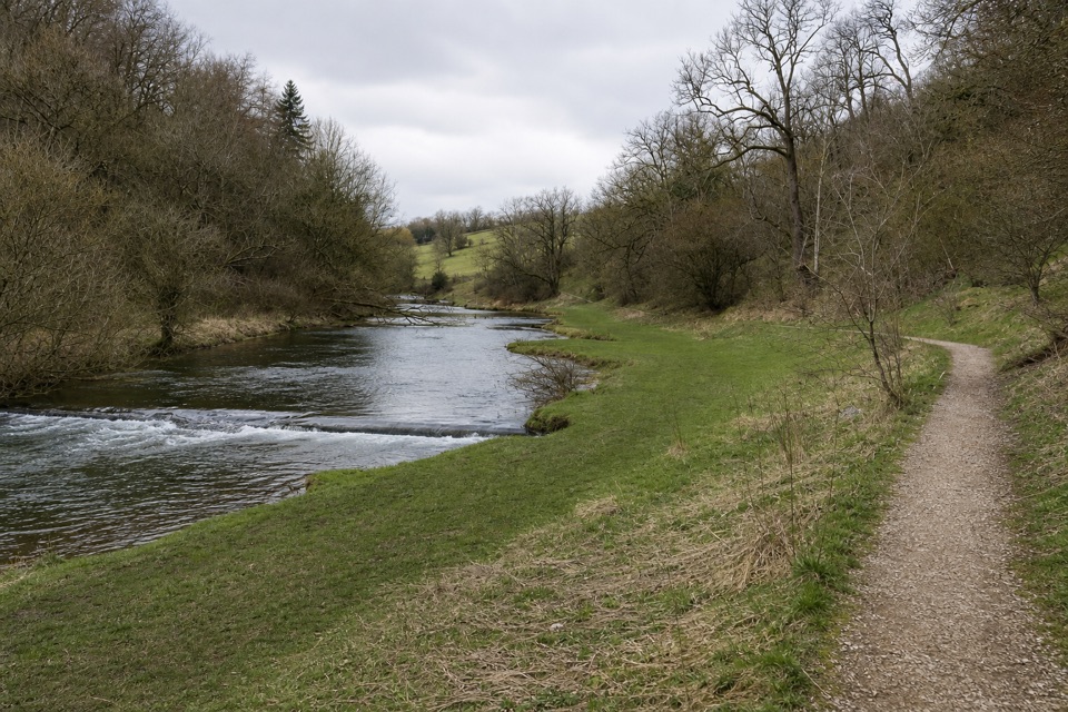 EasyConksbury Miles without Stiles1 km · 20 min · 2.8 km awayA flat riverside path ends where the firm limestone surface does.
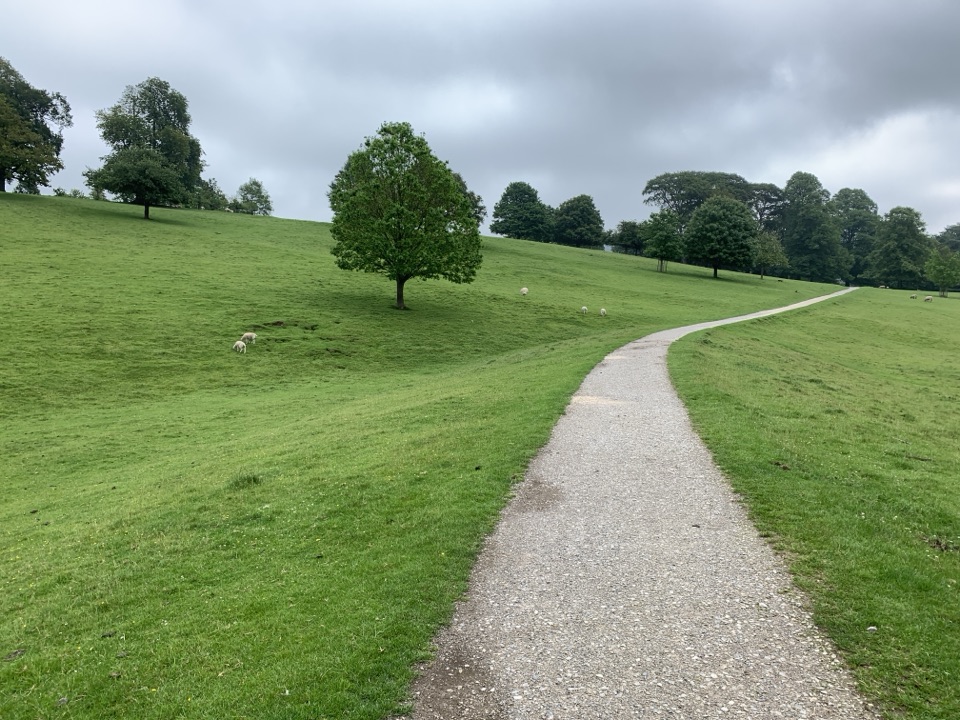 EasyChatsworth and Edensor Circular6.1 km · 1.8 hr · 4.4 km awayCountry lanes, a steep village descent and Chatsworth in view.
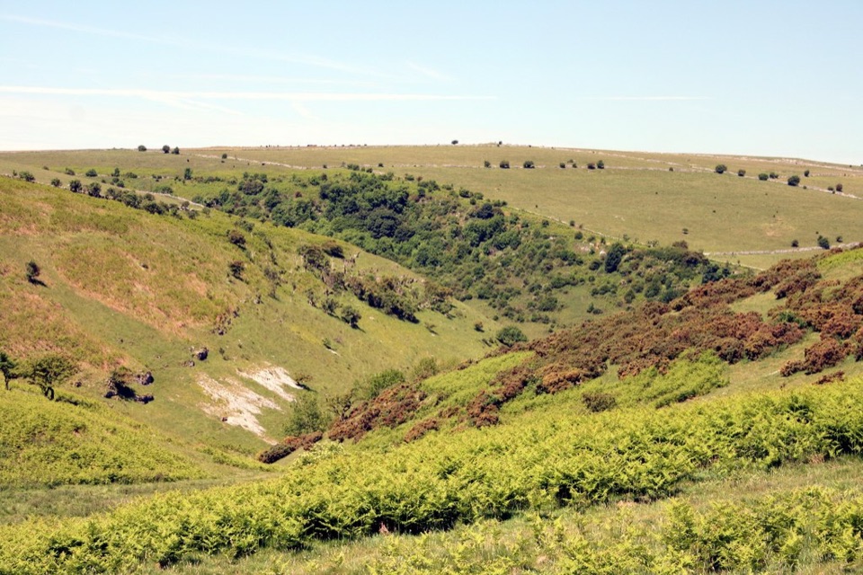 EasyCoombs Dale Miles without Stiles3.2 km · 1.3 hr · 7 km awayAn easy-access limestone dale walk with a surfaced track and benches
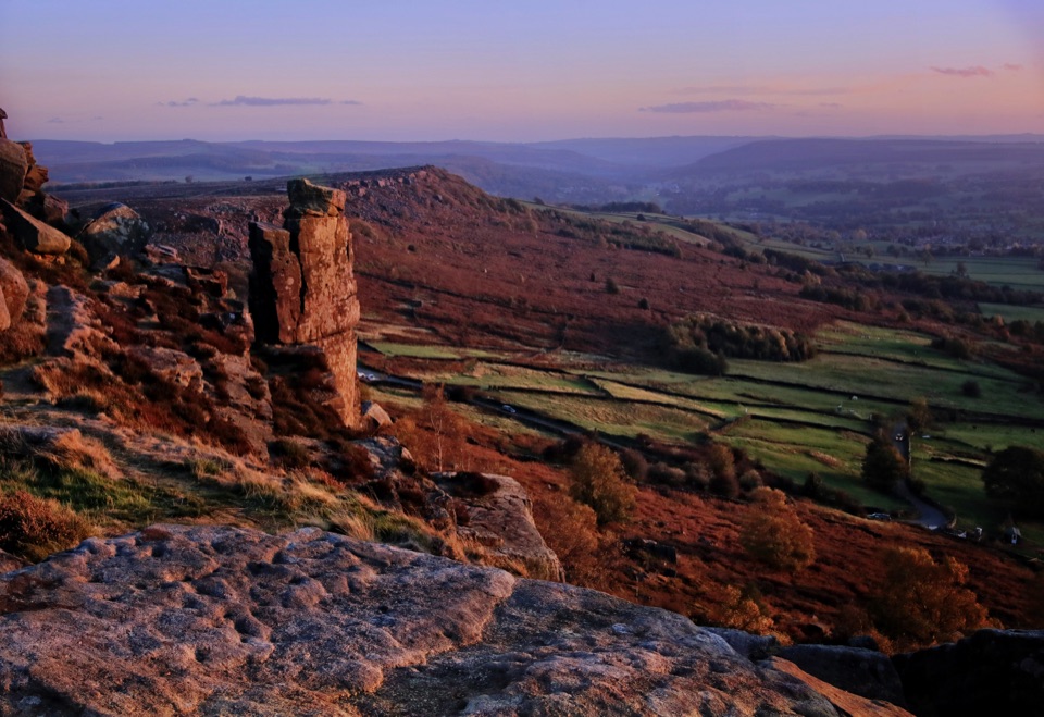 ModerateCurbar, Birchen Edge, Baslow Edge and Curbar Edge Loop13.5 km · 4 hr · 7.2 km awayThree gritstone edges, the Three Ships, and one boggy moor crossing.
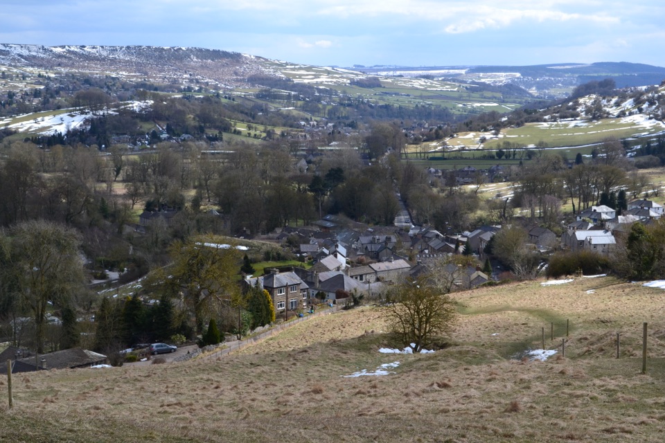 ModerateStoney Middleton Heritage Trail (Purple Walk)4.1 km · 1.5 hr · 7.3 km awayA limestone heritage loop through village lanes and cliff paths
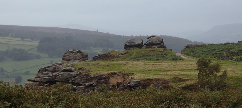 ModerateFroggatt, Curbar and White Edge Red Deer Circular Walk9.6 km · 3 hr · 8 km awayThree gritstone edges, a red deer moor and a pub halfway round.
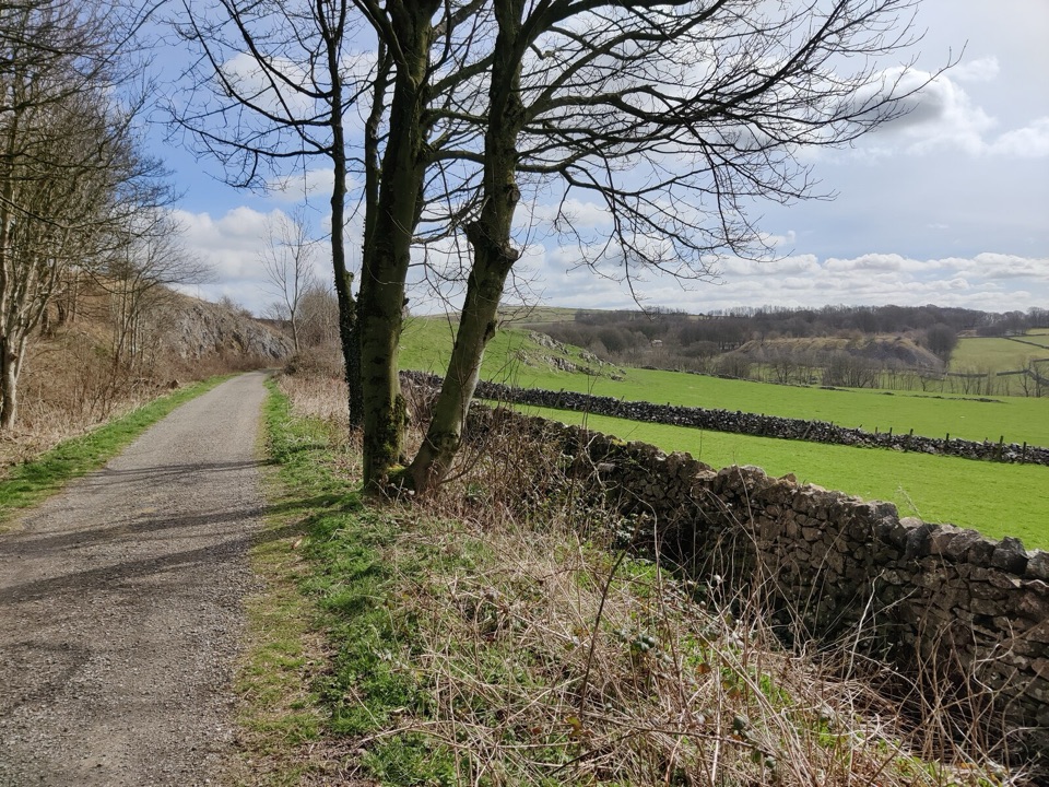 EasyParsley Hay Miles Without Stiles8 km · 2 hr · 8.2 km awayAn easy railway trail to a signal box, fields and picnic wood.
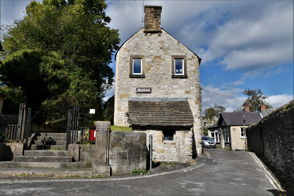 Sight · 0.2 km awayBakewell Old House Museum1534 tithe house hiding Tudor wattle and daub above town
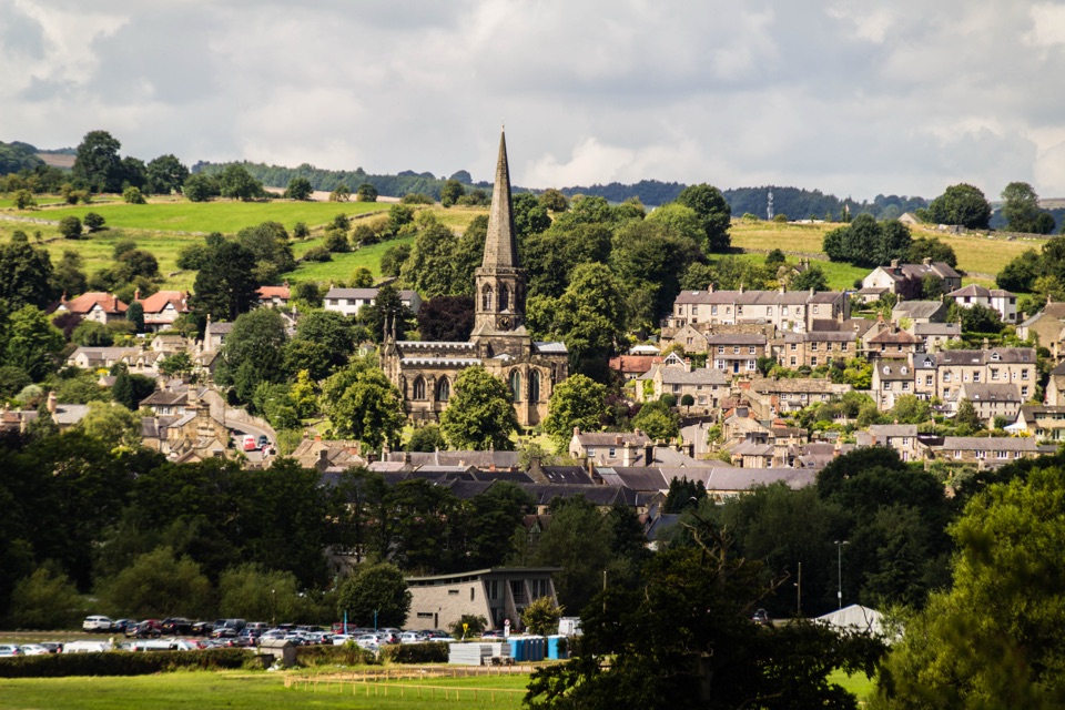 Sight · 0.4 km awayBakewellMellow stone streets, a five-arched bridge and Monday market stalls
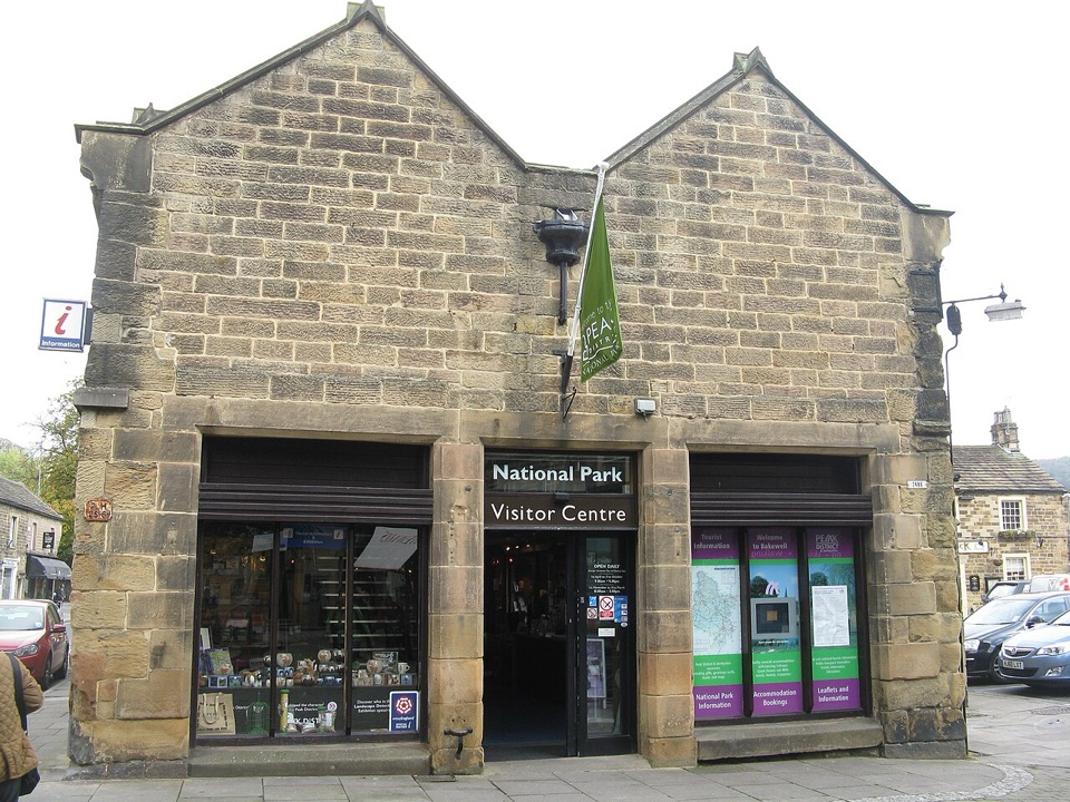 Visitor center · 0.5 km awayNational Park Centre - BakewellMaps, route advice and a gallery in Bakewell's 17th-century market hall
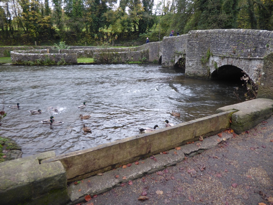 Sight · 2.4 km awayAshford-in-the-WaterMedieval sheepwash bridge, limestone lanes and gentle Wye walks
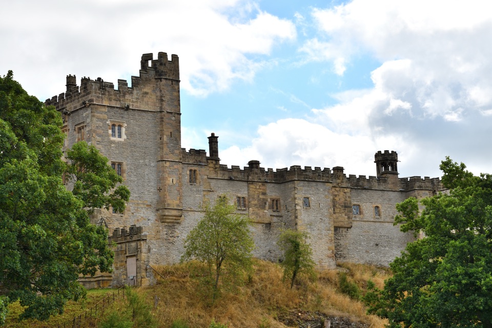 Sight · 2.8 km awayHaddon HallA 900-year-old family home with medieval halls and terraced Wye gardens
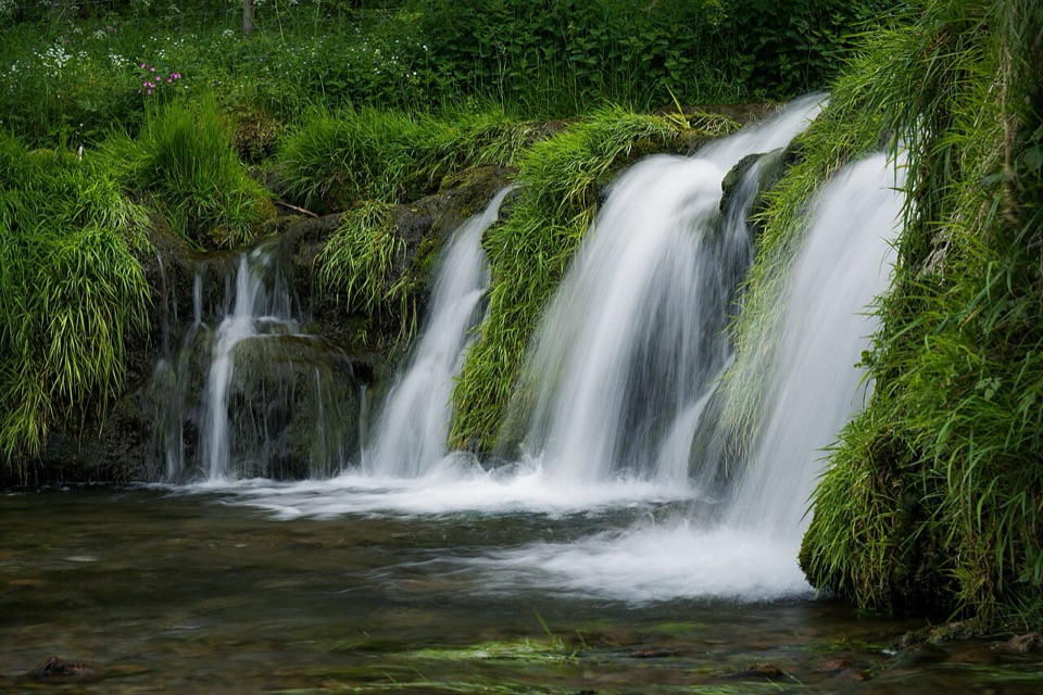 Sight · 4 km awayLathkill DaleMossy weirs, clear water and a limestone valley that runs dry
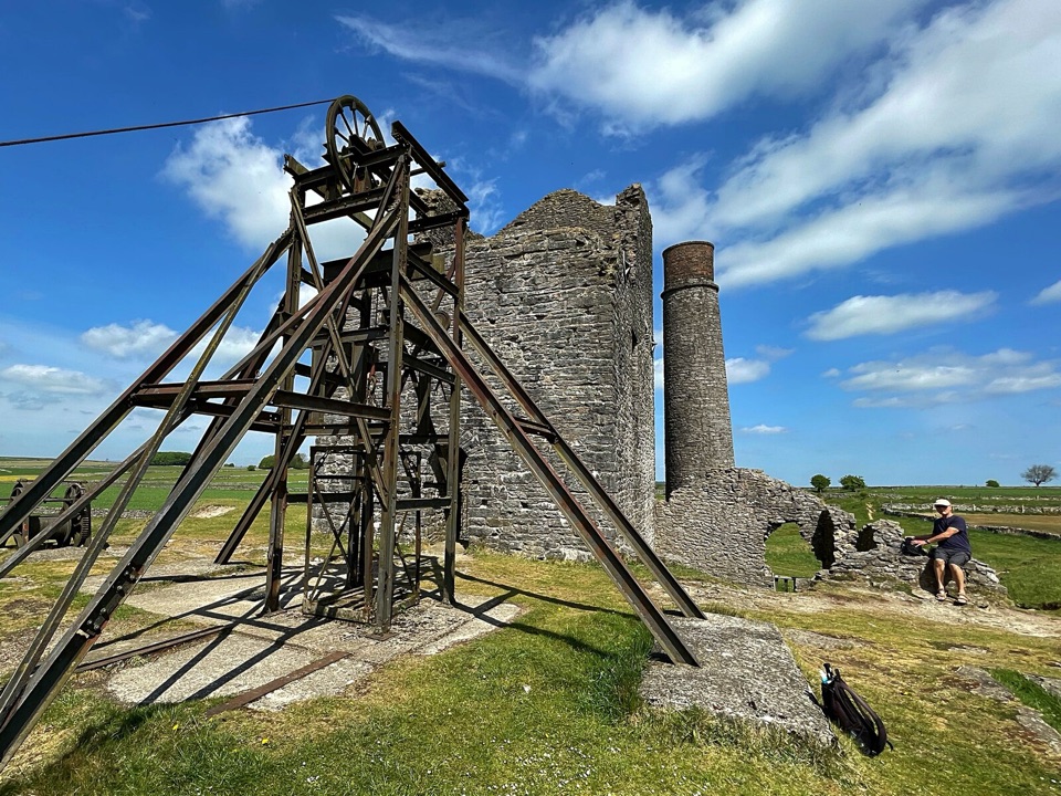 Sight · 4.2 km awayMagpie MineCornish engine house and steel headgear on a windswept limestone plateau
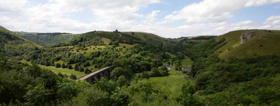 Sight · 4.3 km awayMonsal HeadCliff-edge panorama over Headstone Viaduct and the winding River Wye
Parkwolf’s Peak District ranking
 The Roaches and Lud’s Church Circular from Hen CloudModerate · 12.2 km
 Mam Tor Circular WalkModerate · 4.8 km
 Castleton, Mam Tor & the Great Ridge WalkModerate · 10.5 km
 Stanage Edge from HathersageModerate · 10.6 km
 Kinder Scout Circular via Jacob’s LadderChallenging · 12.1 km
 Padley Gorge and Burbage Brook WalkEasy · 3.7 km
The audio tour guide for the drive, plus offline maps, trails, and wildlife heatmaps for when the signal drops.