Parking
Start at the car park beside Castleton Visitor Centre on Buxton Road, S33 8WN. The National Park route page lists six dedicated disabled spaces; the adjacent car park and toilets are operated by High Peak Borough Council.
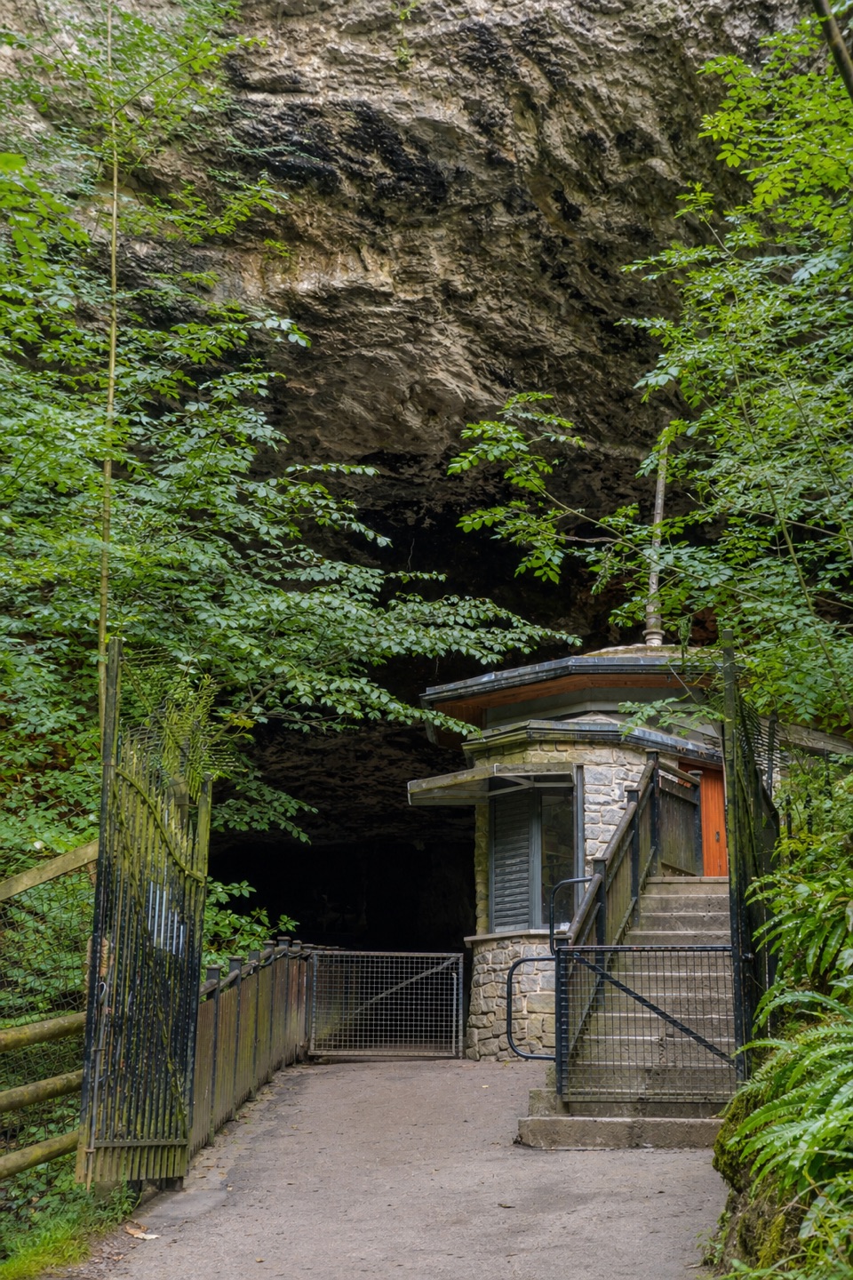
Peak District National Park, EN
A short, step-free approach to Peak Cavern's dramatic entrance.
Overview
Map & elevation
Plan your hike

The highest, rockiest slopes around here are a summer buffet for grizzly bears.
Peak District Tour Guide
Parkwolf is a GPS audio tour guide for Peak District National Park. As you drive, it chimes in with what’s ahead: hidden gems, upcoming stops, history, geology, and wildlife, right through your car’s speakers.
Recorded for this trailhead
Peak Cavern and the Rope Makers' Village“You're nearing Peak Cavern, tucked into the gorge below Peveril Castle.”
Plays as you drive up to this trailhead in the Parkwolf Peak District Tour Guide.
More stories near here in the app
“Fantastic app with many points of information… It’s great to just turn on while you’re driving and it gives you an audio tour of the national Park. We love it!!!!”


Trail guide
Castleton Peak Miles Without Stiles is a roughly 700 m out-and-back from Castleton Visitor Centre to the point where the approach steepens towards Peak Cavern. It follows the stream through historic village access, crosses a bridge, then comes around the front of the houses. This is the easy way to get a taste of Castleton's cave country without committing to a hill walk. Allow 20 to 30 minutes for the return.
Start between the cafe and shop opposite the visitor centre. Meet the stream, turn right at the T-junction and cross by the bridge, then turn left immediately afterwards. The route stays on paved or compacted access, with a short section shared with local traffic. Peak Cavern is the largest cave entrance in Britain and was one of the original 16th-century Seven Wonders of the Peak.
Start at the Castleton Visitor Centre on Buxton Road. The adjacent car park and toilets are useful, the visitor centre has a cafe, and the route page lists six dedicated disabled spaces. There is no loop: return the same way. The stored route stops before the path steepens to the cave entrance, so treat any underground tour or further approach as a separate outing. For a longer walk, choose a separate Castleton or Cave Dale route rather than extending this accessible record into a different hike.
Wildlife
 248 sightingsRed DeerMost seen around 7 AMSighting map
 36 sightingsRed FoxMost seen around 6 AMSighting map
 15 sightingsEurasian OtterMost seen around 7 PMSighting map
 51 sightingsPeregrine FalconMost seen around 6 PMSighting map
 47 sightingsEuropean Fallow DeerMost seen around 6 AMSighting map
 54 sightingsWestern Roe DeerMost seen around 7 PMSighting map
Sighting maps show where each species has been reported across Peak District. Wildlife moves, so no sighting is guaranteed.
Keep exploring
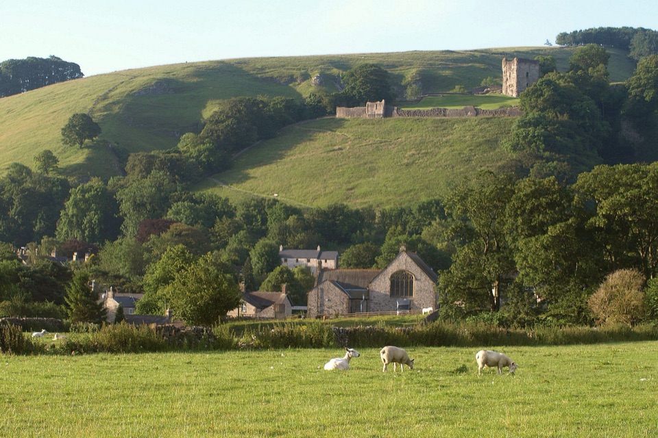 EasyCastleton Family Walk2.7 km · 51 min · At the trailheadA gentle village loop with fields, castle views and a tiny stream.
 ModerateCastleton, Mam Tor & the Great Ridge Walk10.5 km · 4.5 hr · 0.1 km awayClimb the Shivering Mountain, then follow the ridge above two valleys.
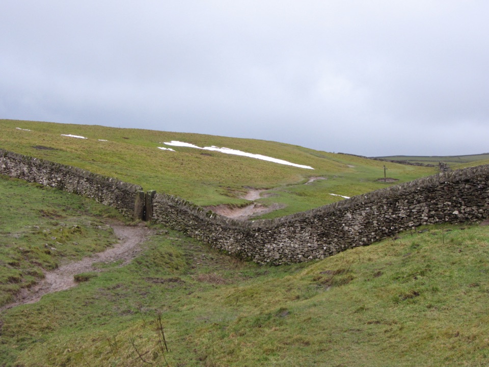 ChallengingLimestone Way74 km · 20 hr · 0.2 km awayOne-way 46 miles from Castleton to the River Dove at Rocester.
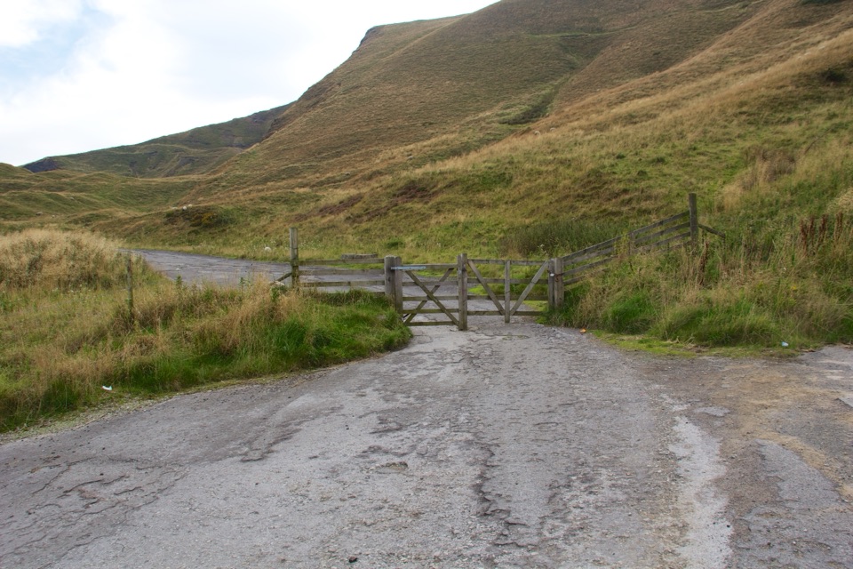 ModerateMam Tor Landslip Miles Without Stiles1.3 km · 30 min · 1.6 km awaySee the old road buckled by an ancient landslip.
 ModerateMam Tor Circular Walk4.8 km · 2 hr · 2.5 km awayA short, steep circuit with a big view over Edale.
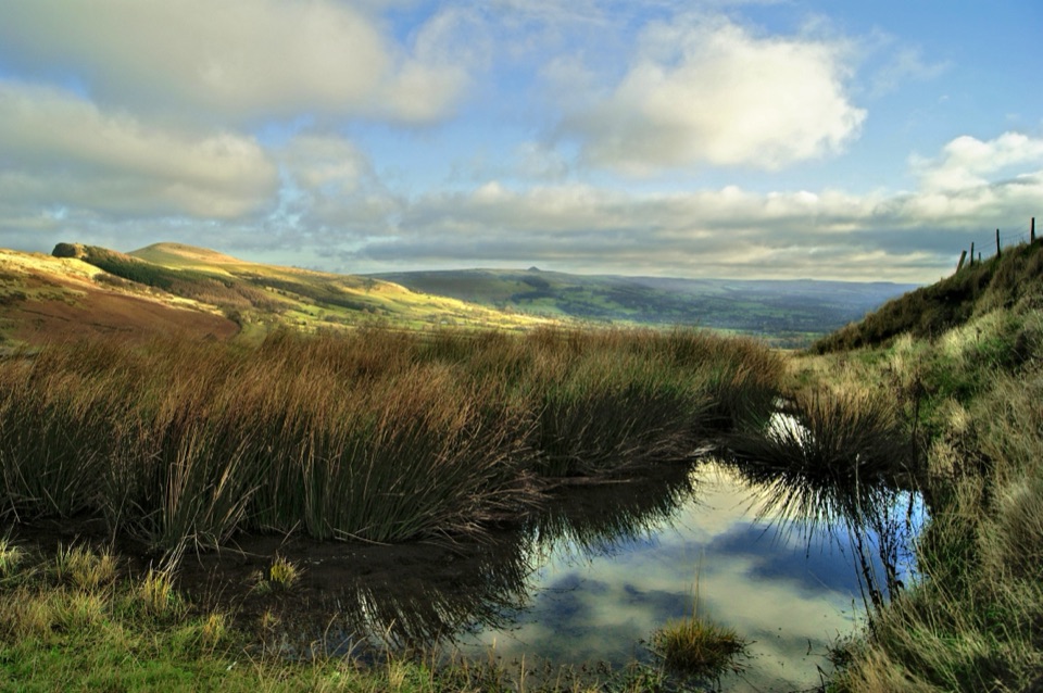 ModerateThe Great Ridge (Mam Tor to Lose Hill)8.2 km · 4 hr · 2.5 km awayA flagstoned skyline walk between two high Peak District summits
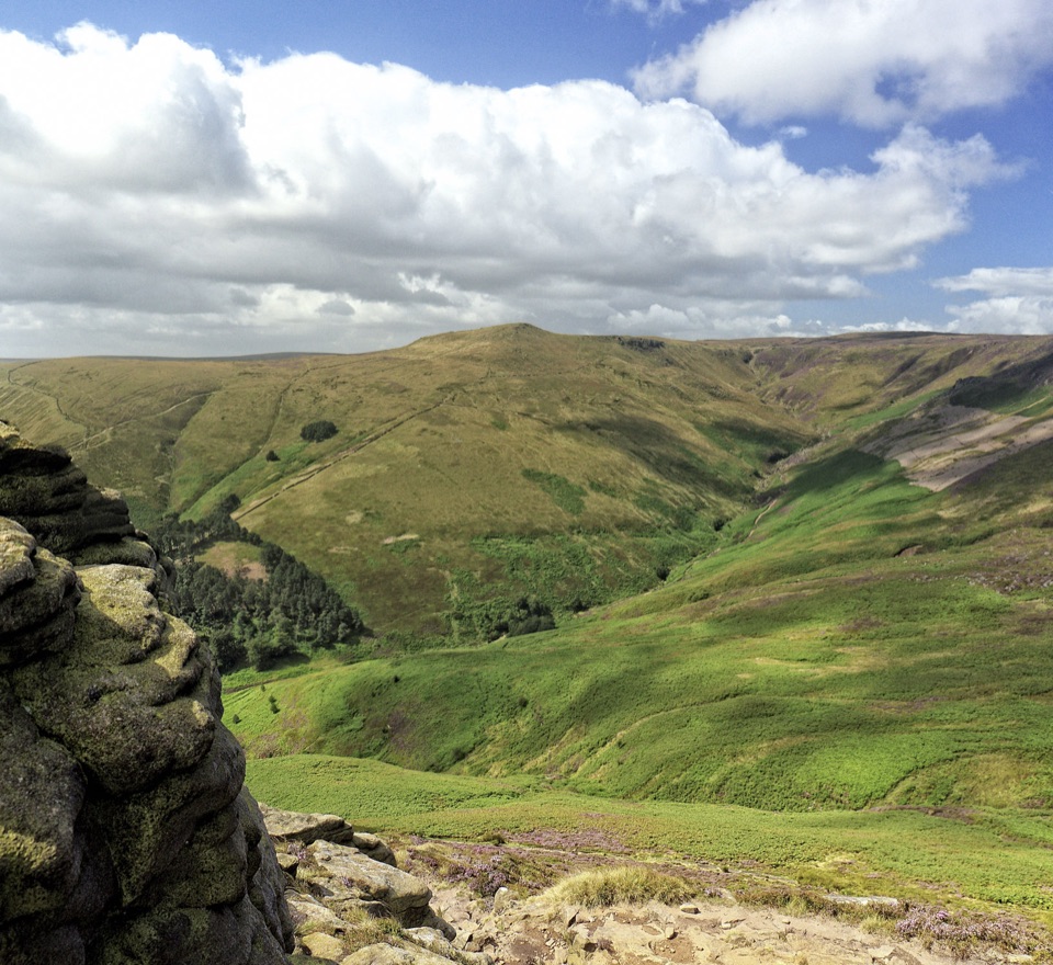 ModerateGrindslow Knoll via Ringing Roger Loop8.9 km · 4 hr · 3.4 km awayA rocky Kinder edge, Grindsbrook views, and a steep way home.
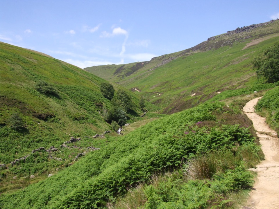 ChallengingKinder Scout via Grindsbrook Clough12.9 km · 5.5 hr · 3.4 km awayScramble up Grindsbrook, then cross Kinder’s open gritstone edge.
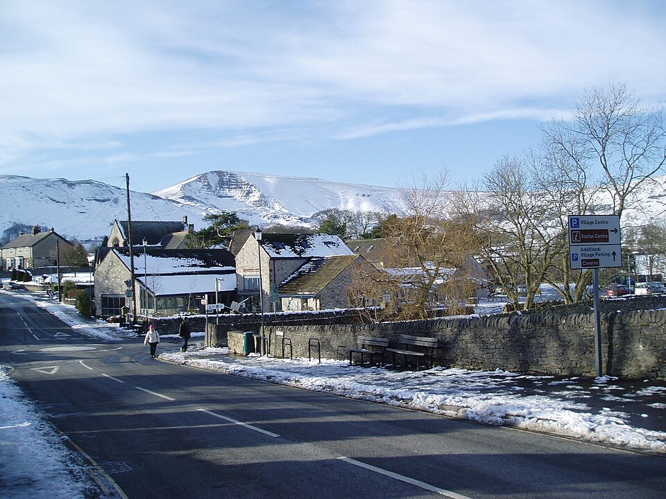 Visitor center · At the trailheadCastleton National Park CentreStart Hope Valley walks here, with maps, exhibition, shop and cafe
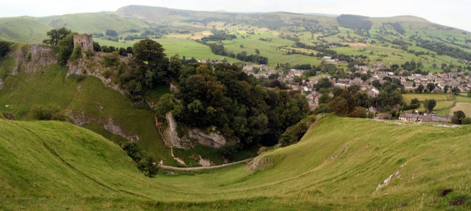 Sight · 0.2 km awayCastletonGritstone-and-limestone village where Norman ruins meet Blue John caves
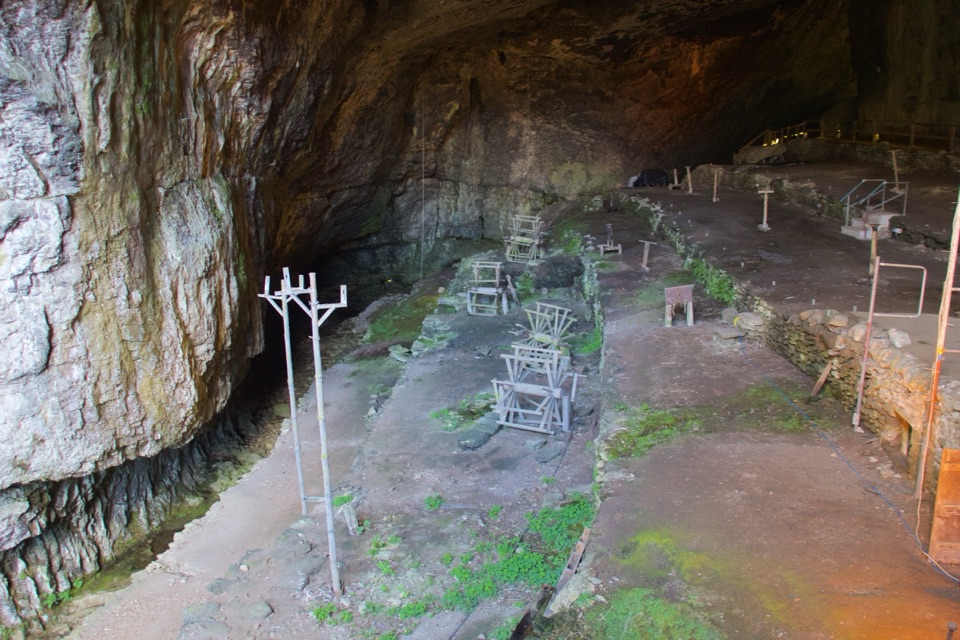 Sight · 0.4 km awayPeak CavernThe British Isles' largest cave entrance, and a rope-makers' village
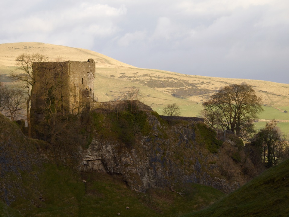 Sight · 0.4 km awayPeveril CastleNorman ruins on a steep crag with wide views over the valley
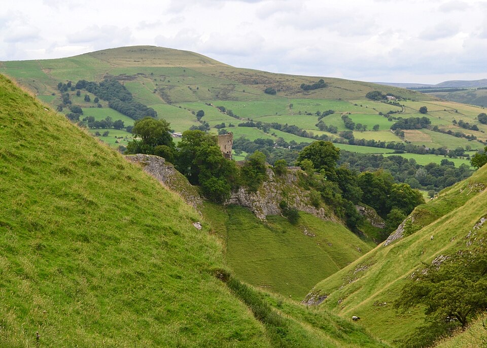 Sight · 0.5 km awayCave DaleWalk a glacial limestone gorge from Castleton up under Peveril Castle
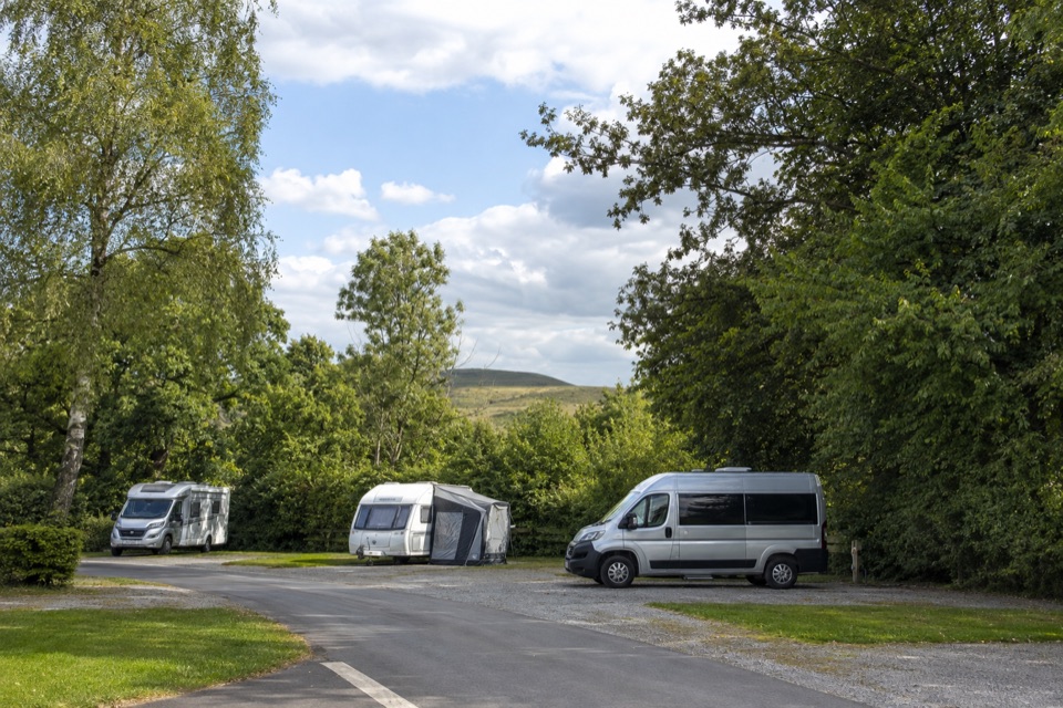 Campground · 0.9 km awayCastleton Caravan and Motorhome Club CampsiteHardstanding touring base in a bowl, half a mile from Castleton.
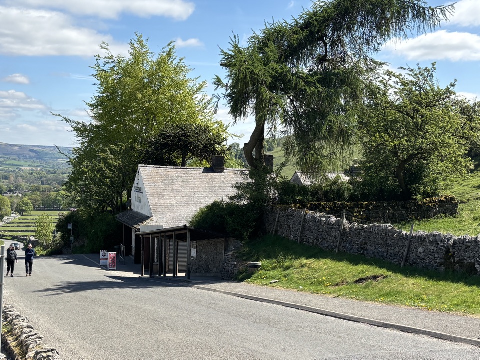 Sight · 1 km awaySpeedwell CavernBoard a boat 200 metres underground in an 18th-century lead mine
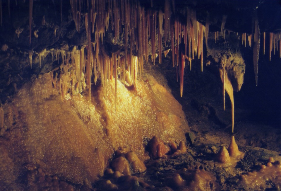 Sight · 1.3 km awayTreak Cliff CavernWorking Blue John mine, self-guided caves, and Hope Valley views
Parkwolf’s Peak District ranking
 The Roaches and Lud’s Church Circular from Hen CloudModerate · 12.2 kmMam Tor Circular WalkModerate · 4.8 kmCastleton, Mam Tor & the Great Ridge WalkModerate · 10.5 km
 Stanage Edge from HathersageModerate · 10.6 km
 Kinder Scout Circular via Jacob’s LadderChallenging · 12.1 km
 Padley Gorge and Burbage Brook WalkEasy · 3.7 km
The audio tour guide for the drive, plus offline maps, trails, and wildlife heatmaps for when the signal drops.