Peveril Castle in Peak District National Park

Sight · Peak District National Park

Peveril Castle

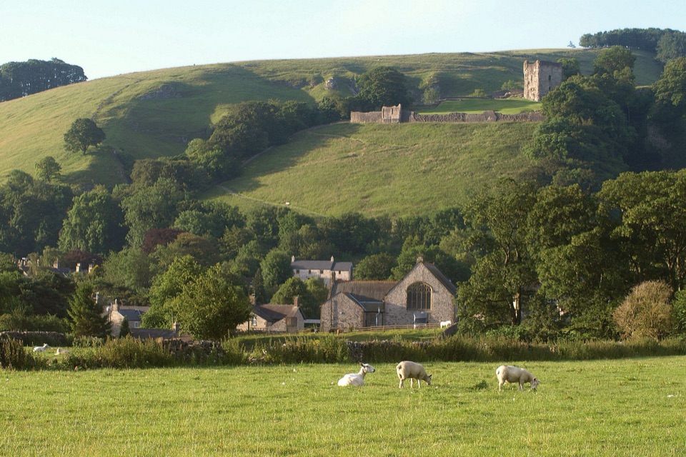
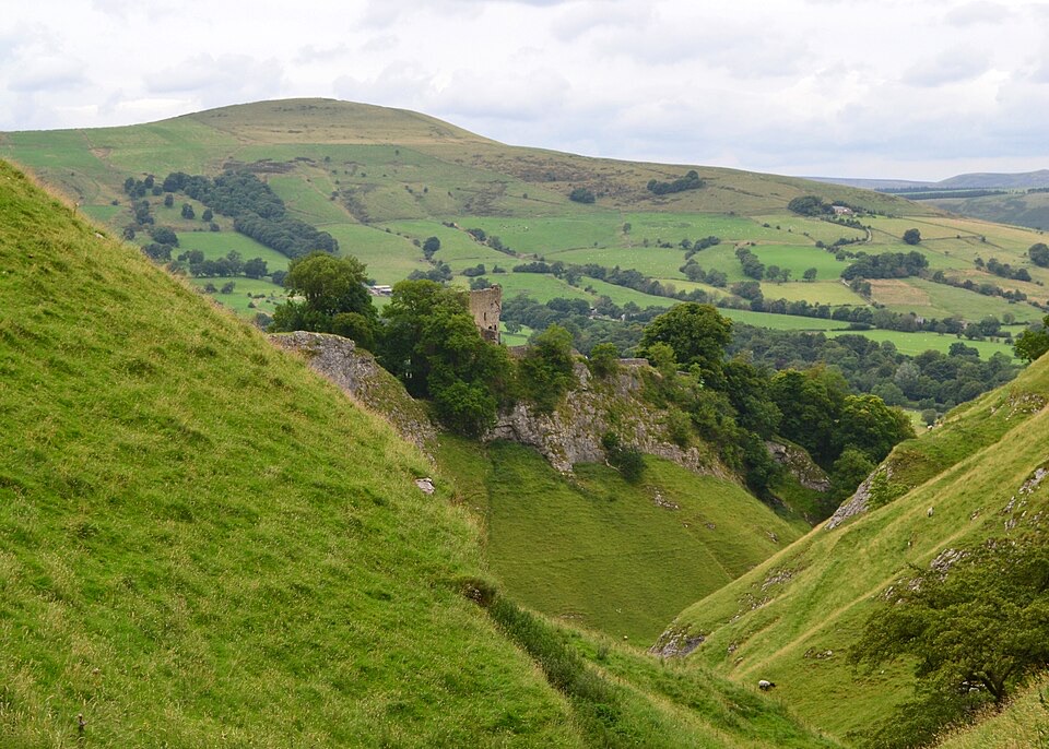
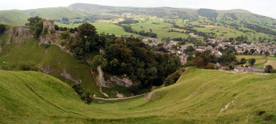
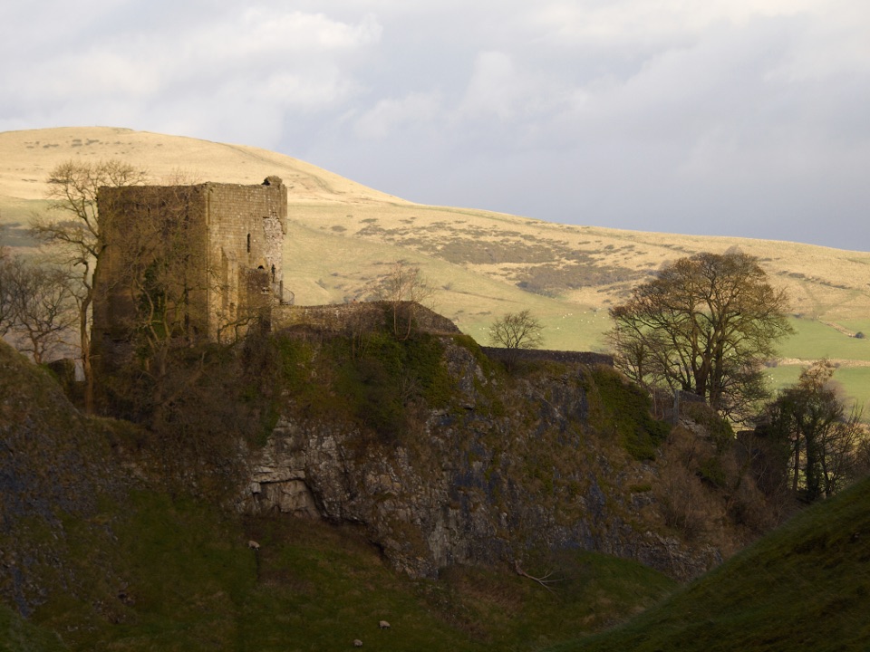
Norman ruins on a steep crag with wide views over the valley

Photo: Wikimedia Commons
Type
Sight
Nearest trail
0.2 km
Audio stories
7 nearby
  • Visitor center
  • Exhibit
  • Scenic viewpoint
  • Picnic tables
  • #15 of 69 sights

Hear the audio tour

Castleton Village and Peveril Castle

Overview

About Peveril Castle

Why stop

  • Wide views over Castleton and the Hope Valley
  • Atmospheric Norman ruins on a dramatic hilltop

Heads up

  • Very steep uphill approach with steps
  • Limited remains beyond the keep and ruined buildings

Map

Where it is

Loading the Peak District map
Full map
SightPeveril Castle53.33992, -1.77739
Keep this map with you offline in the Parkwolf app

Plan your stop

Before you go

5 active Peak District alerts

  • ClosureA54 Cat and Fiddle road closureThe A54 Macclesfield Main Road (Cat and Fiddle) is fully closed to all traffic from 27 July through 30 October 2026 during phase 1 improvement works.Official details
  • ClosureHooks Carr (Stanage Popular) car park closureHooks Carr (Stanage Popular) car park will be partially or fully closed from 6 October for four weeks.Official details

See all 5 alerts
A park ranger sits on a dash-mounted phone, talking, as Parkwolf’s Tour Guide plays “Army Cutworm Moths: A Grizzly Bear Buffet” on Grand Loop Road below Dunraven Pass in Yellowstone
Parkwolf Tour GuideThe highest, rockiest slopes around here are a summer buffet for grizzly bears.

Peak District Tour Guide

Your drive to Peveril Castle, narrated.

Parkwolf is a GPS audio tour guide for Peak District National Park. As you drive, it chimes in with what’s ahead: hidden gems, upcoming stops, history, geology, and wildlife, right through your car’s speakers.

Recorded for this place

Castleton Village and Peveril Castle
0:00 / 0:32
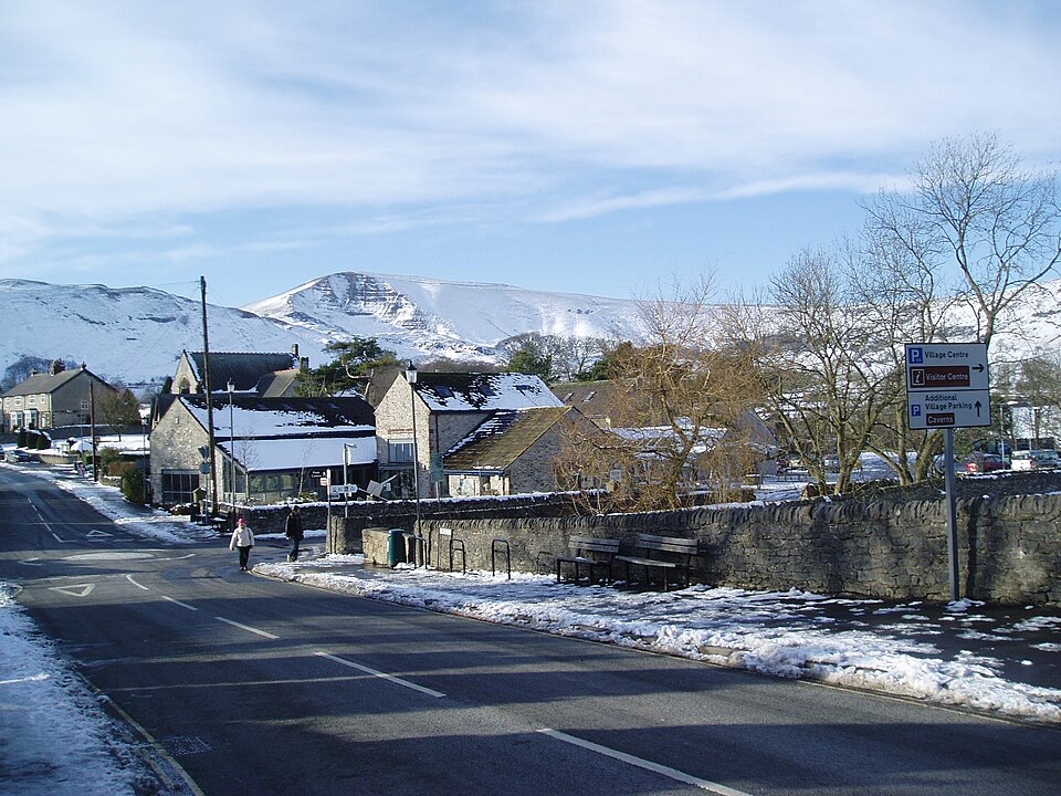
“You're coming up on Castleton, a stone village below the ruins of Peveril Castle.”

Plays as you drive up to Peveril Castle in the Parkwolf Peak District Tour Guide.

More stories near here in the app

  • Peak Cavern and the Rope Makers' Village
  • Treak Cliff and Blue John Caverns
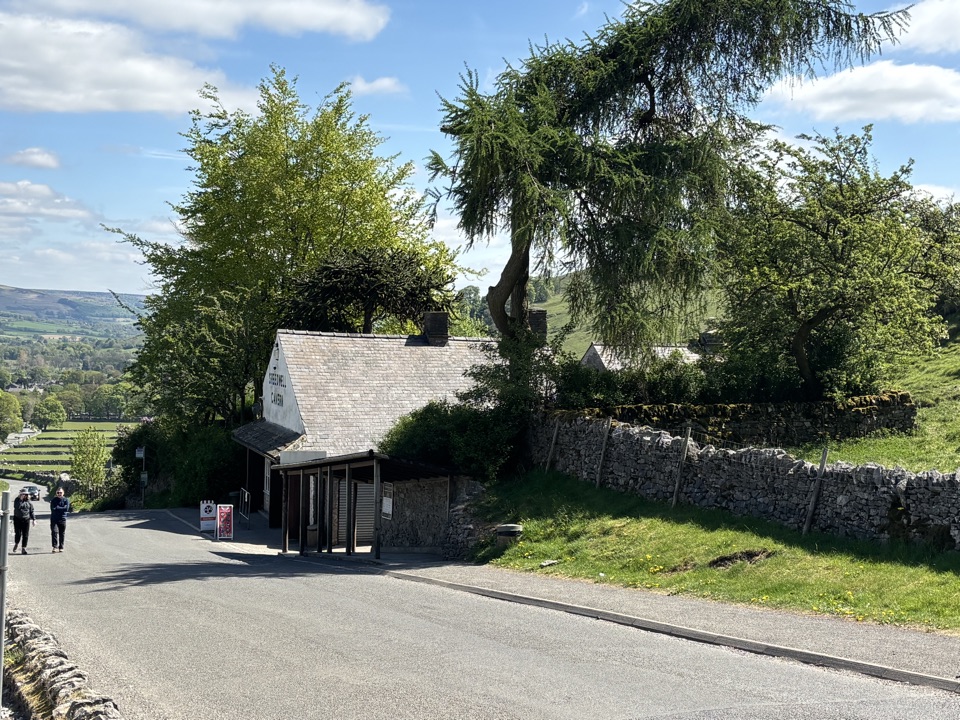
  • Winnats Pass and Speedwell Cavern
  • How Grove's Hidden Workshop
  • 298 audio storiesacross Peak District’s roads, triggered by GPS as you drive
  • Wildlife heatmapsfor Red Deer, Red Fox, Eurasian Otter, and 13 more
  • Works offlinemaps, 88 trails, 76 places, and audio download before you lose signal
  • CarPlay readysimple controls built for the drive
★★★★★
“Fantastic app with many points of information… It’s great to just turn on while you’re driving and it gives you an audio tour of the national Park. We love it!!!!”
JMJamesApp Store review
Download Parkwolf on the App StoreGet Parkwolf on Google Play

4.7 from 8,600+ ratings

Guide

More about Peveril Castle

Why it earns the climbThe castle sits high above Castleton on a spur naturally defended by sheer drops into Cave Dale…

The castle sits high above Castleton on a spur naturally defended by sheer drops into Cave Dale on one side and Peak Cavern Gorge on the other. That setting is the main event. From the top you get wide, open views over the rooftops of Castleton and out along the valley, with the ruined keep standing as a blunt reminder of how much the Normans cared about controlling this ground.

The history in briefThe visitor centre has displays covering that story, and it is worth a look before you start up.

The visitor centre has displays covering that story, and it is worth a look before you start up. Once at the top, look for the medieval garderobe in the keep, a small detail that makes the building feel lived in rather than purely military.

  • William Peverell raised a fortress here in the decades after the Conquest, built sometime between 1066 and 1086, and the site appears in the Domesday survey. The castle takes his name.
  • It was one of England's first stone castles, unusual for its date.
  • Henry II added the keep on the hill summit in 1176, and that tower is still the most complete thing standing.
  • The castle served as the administrative focus of the Royal Forest of the Peak, so this was a centre of law and control over a large area, not just a lookout.
  • It fell into disuse after Tudor times, with the keep later used as a courthouse before the site gradually became ruined.
What the walk up is likeThe only way in is on foot, up a steep path from the town, with some stairs along the way.

The only way in is on foot, up a steep path from the town, with some stairs along the way. Visitors consistently describe the ascent as challenging, and that is fair: it is sustained, and it will get your breath going. There are benches along the path, so you can stop and use the excuse to look back over the valley as it opens up beneath you. The steep, stepped approach means anyone who needs wheelchair or step-free access should assess the route carefully before committing to it.

Practical preparationWear sturdy shoes with grip.
  • Wear sturdy shoes with grip. The approach is steep and stepped, and decent footwear makes a real difference in both directions.
  • Carry water as ordinary preparation for an uphill walk.
  • There is no parking at the castle itself. Park in Castleton and walk in; the entrance is reached from the Market Place area, so treat it as a town-and-walk visit and check local signage for whichever car park you use.
Honest tradeoffsWhat survives is limited.

What survives is limited. Beyond the keep and the footings of ruined buildings and curtain walls, there is not a great deal of standing masonry, so if you arrive expecting corridors and furnished rooms you will be disappointed. Read the interpretation, take the view, and understand the site as a defensive position rather than a palace, and it makes far more sense. The climb also rules it out for some visitors, and there is no way around that; the geography that made the place defensible is exactly what makes it hard to reach.

Fitting it into the dayCastleton is a good base for history and walking, and the castle overlooks the village from…

Castleton is a good base for history and walking, and the castle overlooks the village from above. Peak Cavern lies in the gorge below and Cave Dale runs up alongside the castle crag, but both are separate outings with their own entrances and their own approaches. Do not assume you can drop from the castle into either. Plan them as distinct stops, and think of the crag itself as the link between them: the same rock that gives you the view from the top is what walls the castle off from the ground below.

Wildlife

Wildlife in Peak District

All Peak District wildlife maps

Sighting maps show where each species has been reported across Peak District. Wildlife moves, so no sighting is guaranteed.

Keep exploring

Near Peveril Castle

See it all on the map

Trails nearby

More stops nearby

Parkwolf’s Peak District ranking

Top sights in Peak District

All 76 places
  1. 1Chatsworth HouseSight
  2. 2Mam TorSight
  3. 3Dovedale Stepping StonesSight
  4. 4Ladybower ReservoirSight
  5. 5Stanage EdgeSight
  6. 6Kinder ScoutSight

Take Parkwolf to Peak District.

The audio tour guide for the drive, plus offline maps, trails, and wildlife heatmaps for when the signal drops.

4.7 from 8,600+ ratings

Download Parkwolf on the App StoreGet Parkwolf on Google Play