Parking
Start at Edale village car park at the foot of the village, beside the railway station. Public toilets are in the main car park.
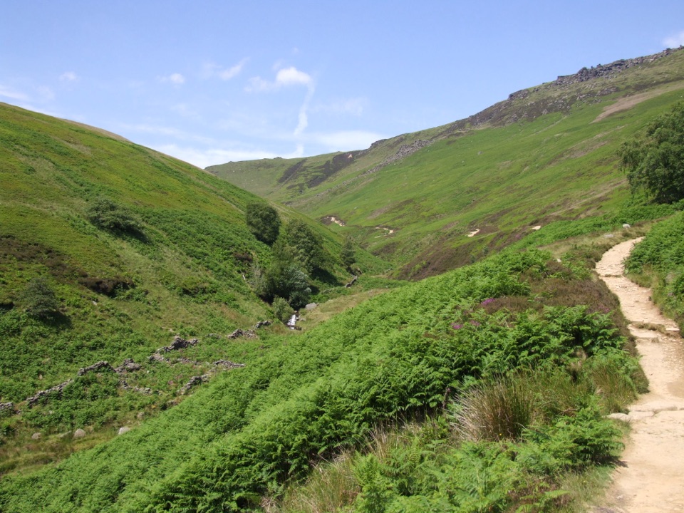
#9 of 88 trails in Peak District
Peak District National Park, EN
Scramble up Grindsbrook, then cross Kinder’s open gritstone edge.
Overview
Map & elevation
Plan your hike

The highest, rockiest slopes around here are a summer buffet for grizzly bears.
Peak District Tour Guide
Parkwolf is a GPS audio tour guide for Peak District National Park. As you drive, it chimes in with what’s ahead: hidden gems, upcoming stops, history, geology, and wildlife, right through your car’s speakers.
Recorded for this area
Edale and Kinder Scout“Edale is coming up, the small village where the Pennine Way begins beneath Kinder Scout.”
Plays on the road 0.1 km from the trailhead in the Parkwolf Peak District Tour Guide.
More stories near here in the app
“Fantastic app with many points of information… It’s great to just turn on while you’re driving and it gives you an audio tour of the national Park. We love it!!!!”


Trail guide
This 8-mile (13 km) loop starts in Edale, climbs Grindsbrook Clough onto Kinder Scout’s plateau edge, then returns by Jacob’s Ladder. Plan on 5 to 6 hours; around 5½ is realistic for about 806 m of ascent, the rocky scramble and the long moorland traverse. It reaches Kinder Plateau, not the exact 636 m high point, so it isn’t a summit tick. Choose this direction if you want to climb beside Grindsbrook and take the steep stone steps on the way down.
This is the directional variant of Edale’s other Kinder Scout circuit, which climbs Jacob’s Ladder and descends Grindsbrook. It uses the same loop, so what changes is how you tackle the steepest sections: scramble up the clough here, or climb the old steps in the reverse direction. Neither version is an easy approach to the plateau.
From Edale village car park, pass the Old Nag’s Head and take the flagstone path uphill. It follows a gradually rising track beside Grindsbrook for roughly a kilometre. Higher up, the track gives way to rocky ground; you cross the clough several times, picking your way across the water to the scramble. The scramble is short but steep, and a large cairn marks the top of the plateau. This is the route’s trickiest footing. If scrambling across the clough isn’t for you, decide before leaving the easier valley approach; returning by Jacob’s Ladder doesn’t avoid this ascent.
From the cairn, follow the flagstones west with views down toward Crowden Clough. The crossing can run hard in heavy rain. The route continues past Crowden Tower, then through peaty ground around the Wool Packs toward Noe Stool. Here the surface changes from stone and flags to boggy patches, and the path can be difficult to follow in poor visibility; bring a map and compass or reliable offline navigation. From Noe Stool, on a clear day, look across to Edale Rocks. That’s the view worth stopping for. The route skirts the plateau edge and doesn’t detour to Kinder’s exact high point.
From Noe Stool, descend toward a stone cairn and join the Pennine Way to the top of Jacob’s Ladder. Large steps drop steeply to an old packhorse bridge. The ladder was a trade route for lead, coal, salt and wool from medieval times until the railway was built in 1894. From the bridge, paths pass Upper Booth and fields; a narrow track beside a stream leads back toward the Old Nag’s Head and through Edale to the car park.
The main Edale car park has public toilets. Refreshments are available in the village and beside the station, before or after the hill; there’s no café on the route. Dogs are allowed on a lead. Expect a hard day of uneven rock, a short scramble and high moorland navigation, especially in poor weather. If you’d rather climb the stone steps and descend through Grindsbrook, walk the circuit in the opposite direction.
Wildlife
 248 sightingsRed DeerMost seen around 7 AMSighting map
 36 sightingsRed FoxMost seen around 6 AMSighting map
 15 sightingsEurasian OtterMost seen around 7 PMSighting map
 51 sightingsPeregrine FalconMost seen around 6 PMSighting map
 47 sightingsEuropean Fallow DeerMost seen around 6 AMSighting map
 54 sightingsWestern Roe DeerMost seen around 7 PMSighting map
Sighting maps show where each species has been reported across Peak District. Wildlife moves, so no sighting is guaranteed.
Keep exploring
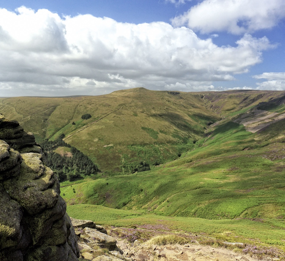 ModerateGrindslow Knoll via Ringing Roger Loop8.9 km · 4 hr · At the trailheadA rocky Kinder edge, Grindsbrook views, and a steep way home.
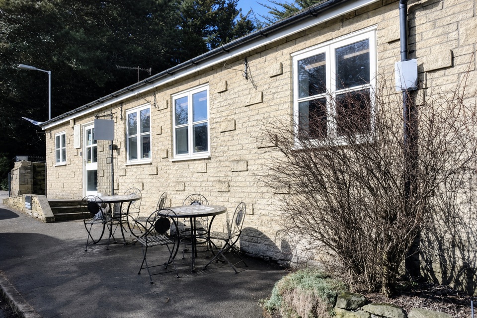 EasyEdale Circular Walk5.5 km · 1.8 hr · 0.1 km awayA gentle Pennine Way loop through fields and Edale village.
 ChallengingKinder Scout Circular via Jacob’s Ladder12.1 km · 5 hr · 0.1 km awayOld stone steps lead to Kinder Scout’s open gritstone edge.
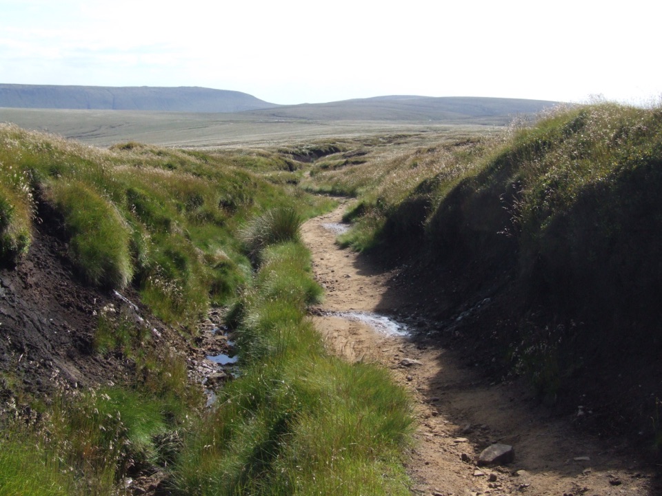 ChallengingPennine Way: Edale to Crowden25.7 km · 9 hr · 0.7 km awayA hard all-day crossing of Kinder Scout and Bleaklow.
 ModerateMam Tor Circular Walk4.8 km · 2 hr · 2.1 km awayA short, steep circuit with a big view over Edale.
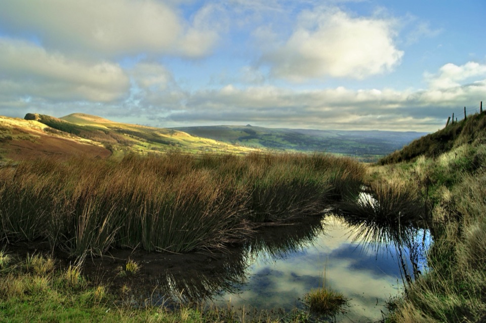 ModerateThe Great Ridge (Mam Tor to Lose Hill)8.2 km · 4 hr · 2.1 km awayA flagstoned skyline walk between two high Peak District summits
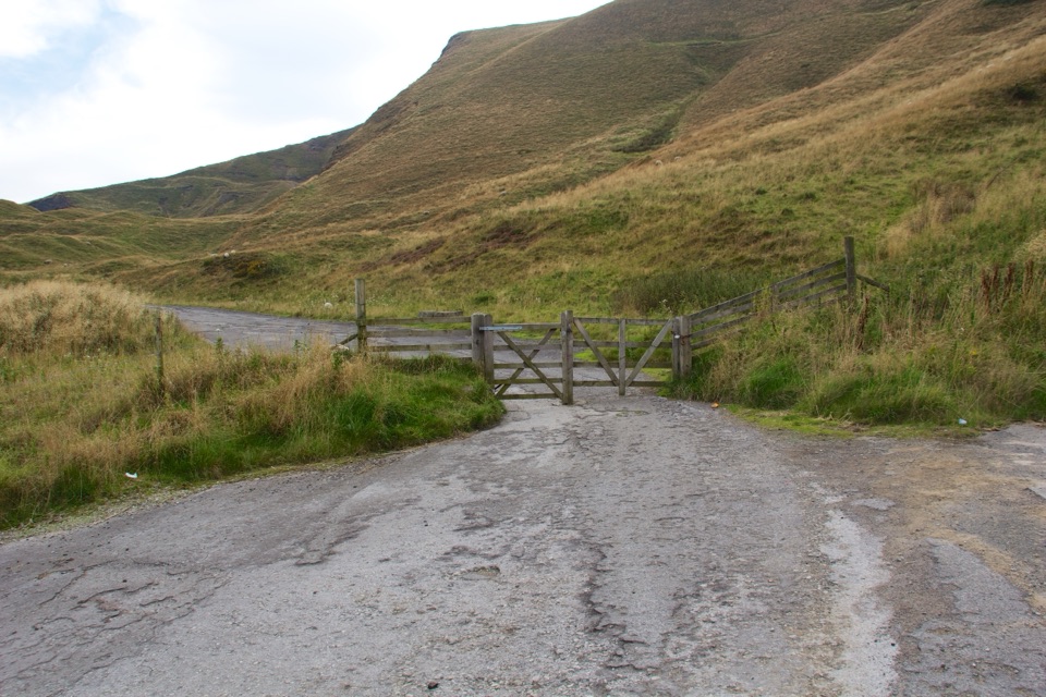 ModerateMam Tor Landslip Miles Without Stiles1.3 km · 30 min · 2.1 km awaySee the old road buckled by an ancient landslip.
 ModerateCastleton, Mam Tor & the Great Ridge Walk10.5 km · 4.5 hr · 3.4 km awayClimb the Shivering Mountain, then follow the ridge above two valleys.
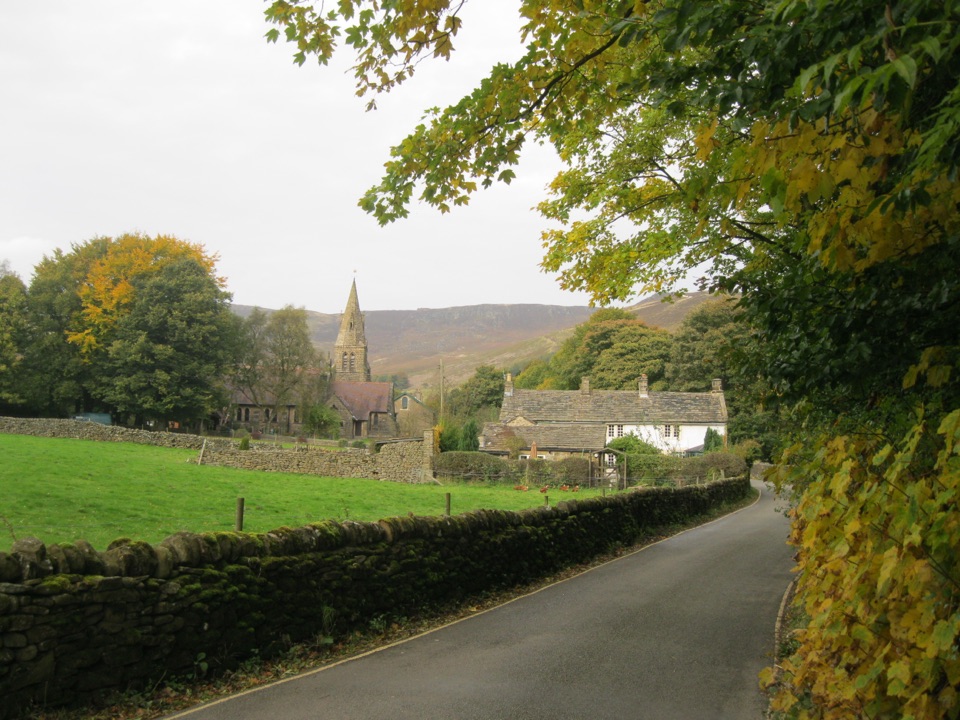 Sight · 0.3 km awayEdaleWhere the Pennine Way begins, beneath Kinder Scout's brooding moorland
 Sight · 1.8 km awayMam TorShort steep climb to a hillfort summit above the Hope Valley
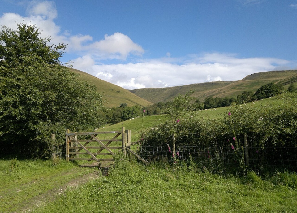 Campground · 2.1 km awayUpper Booth Farm CampsiteQuiet car-free camping fields below Kinder on the Pennine Way
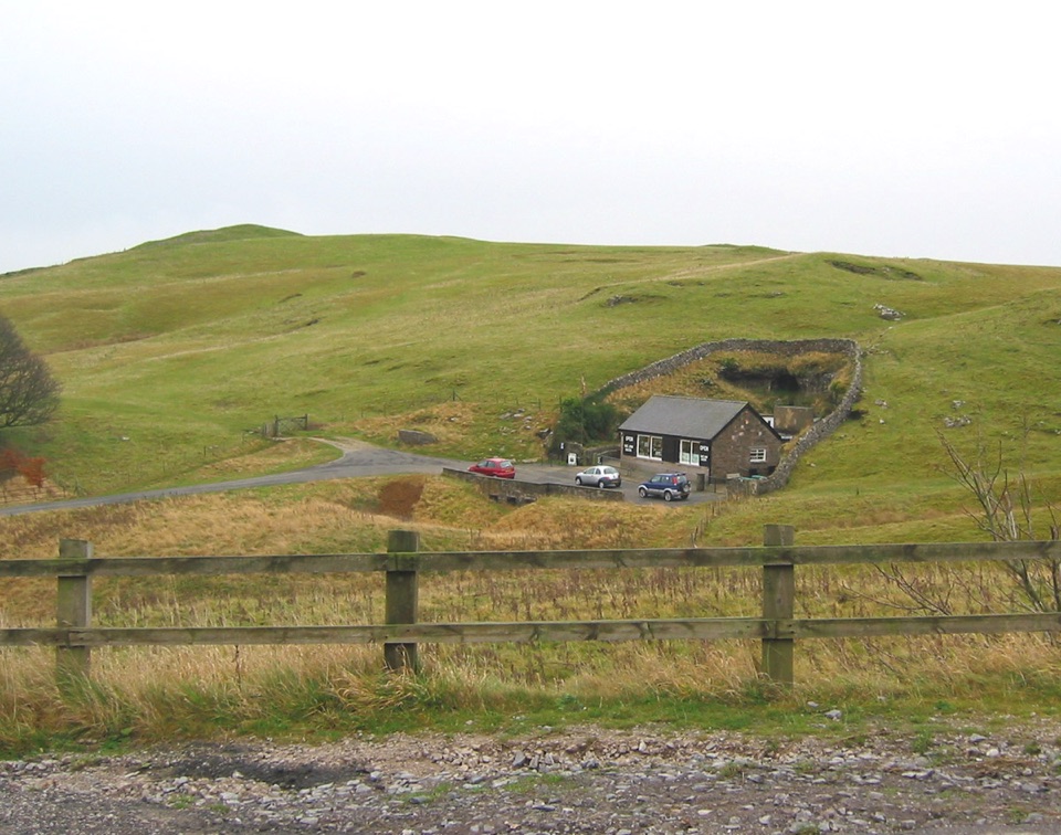 Sight · 2.3 km awayBlue John CavernHand-mined caverns holding eight of the world's fifteen Blue John veins
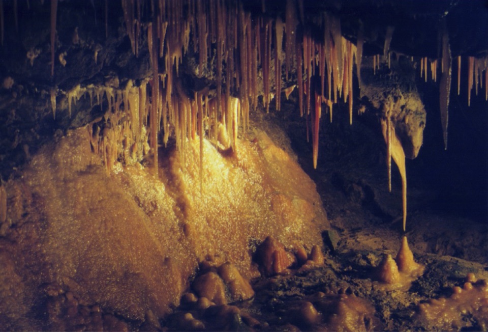 Sight · 2.5 km awayTreak Cliff CavernWorking Blue John mine, self-guided caves, and Hope Valley views
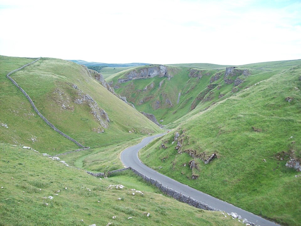 Sight · 2.8 km awayWinnats PassA narrow road plunges through towering limestone walls west of Castleton
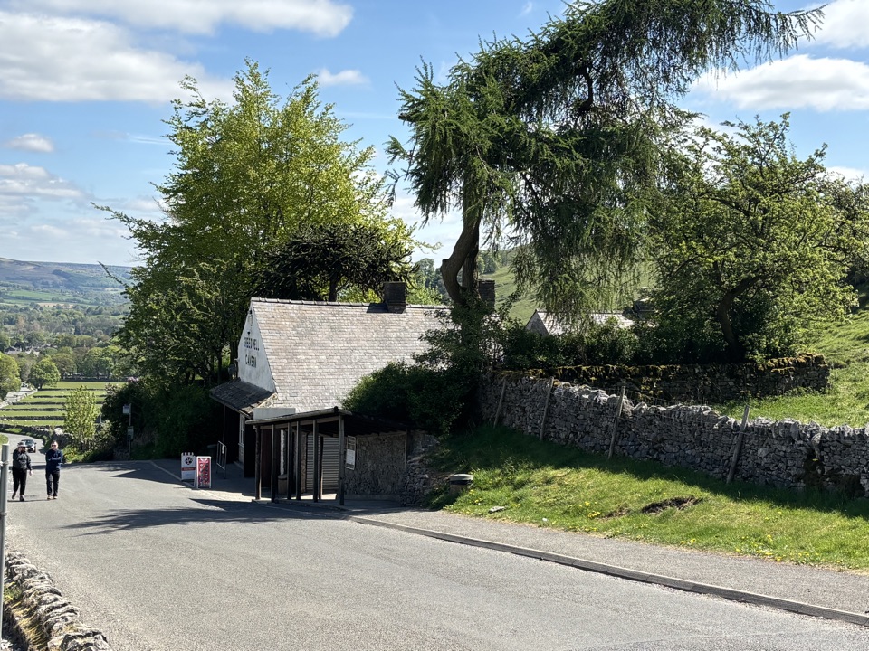 Sight · 3 km awaySpeedwell CavernBoard a boat 200 metres underground in an 18th-century lead mine
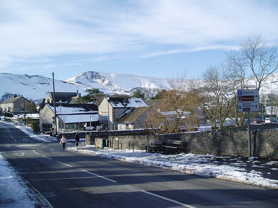 Visitor center · 3.4 km awayCastleton National Park CentreStart Hope Valley walks here, with maps, exhibition, shop and cafe
Parkwolf’s Peak District ranking
 The Roaches and Lud’s Church Circular from Hen CloudModerate · 12.2 kmMam Tor Circular WalkModerate · 4.8 kmCastleton, Mam Tor & the Great Ridge WalkModerate · 10.5 km
 Stanage Edge from HathersageModerate · 10.6 kmKinder Scout Circular via Jacob’s LadderChallenging · 12.1 km
 Padley Gorge and Burbage Brook WalkEasy · 3.7 km
The audio tour guide for the drive, plus offline maps, trails, and wildlife heatmaps for when the signal drops.