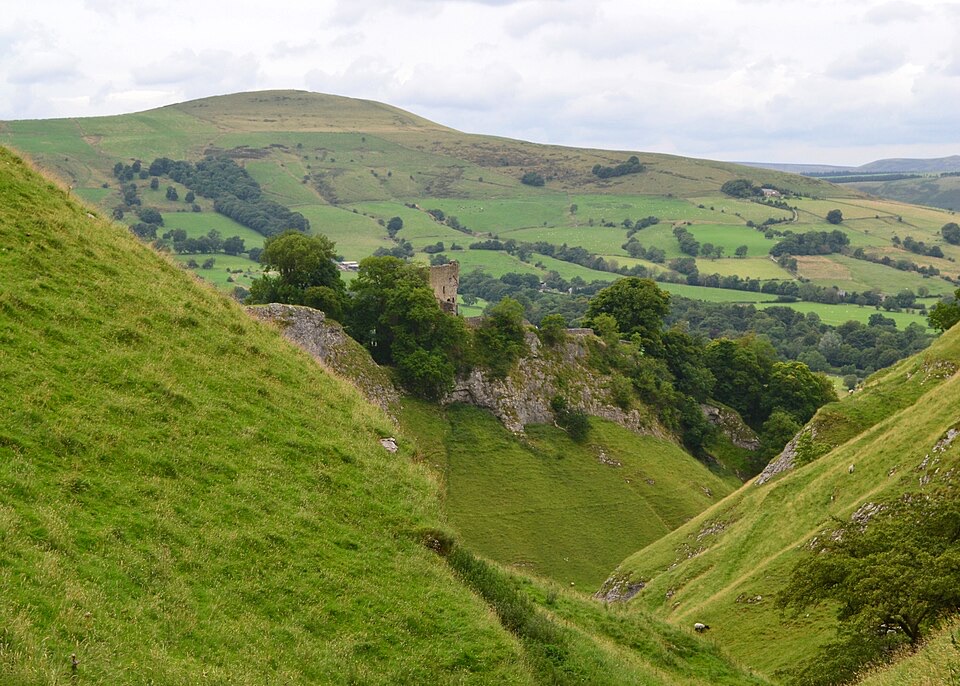
Winnats Pass in Peak District National Park

#10 of 69 sights in Peak District

Sight · Peak District National Park

Winnats Pass

A narrow road plunges through towering limestone walls west of Castleton

Photo: Wikimedia Commons
Type
Sight
Nearest trail
0.8 km
Audio stories
6 nearby

Hear the audio tour

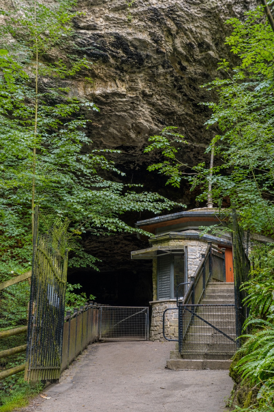
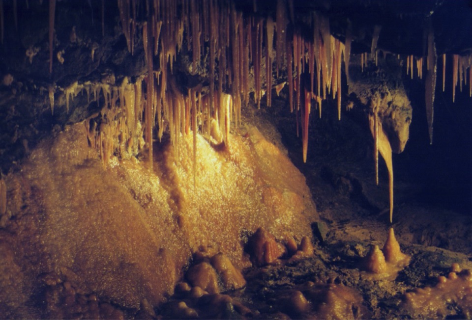
Winnats Pass and Speedwell Cavern

Overview

About Winnats Pass

Why stop

  • Dramatic limestone gorge with a memorable winding-road reveal
  • Easy to combine with Castleton and the surrounding high-ground walks

Heads up

  • Narrow, steep road with no footway on the western segment
  • No verified on-site visitor facilities or formal viewing infrastructure
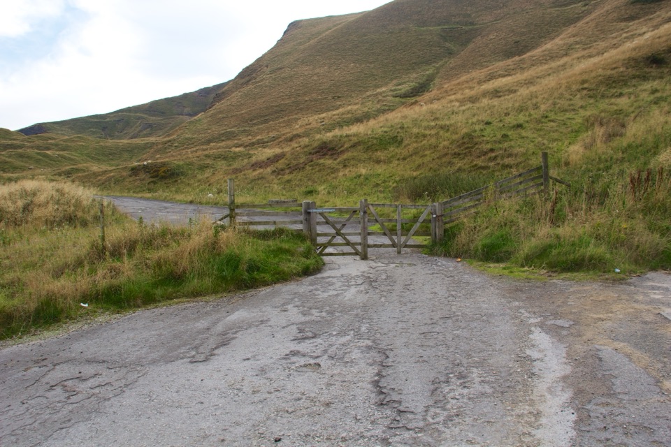
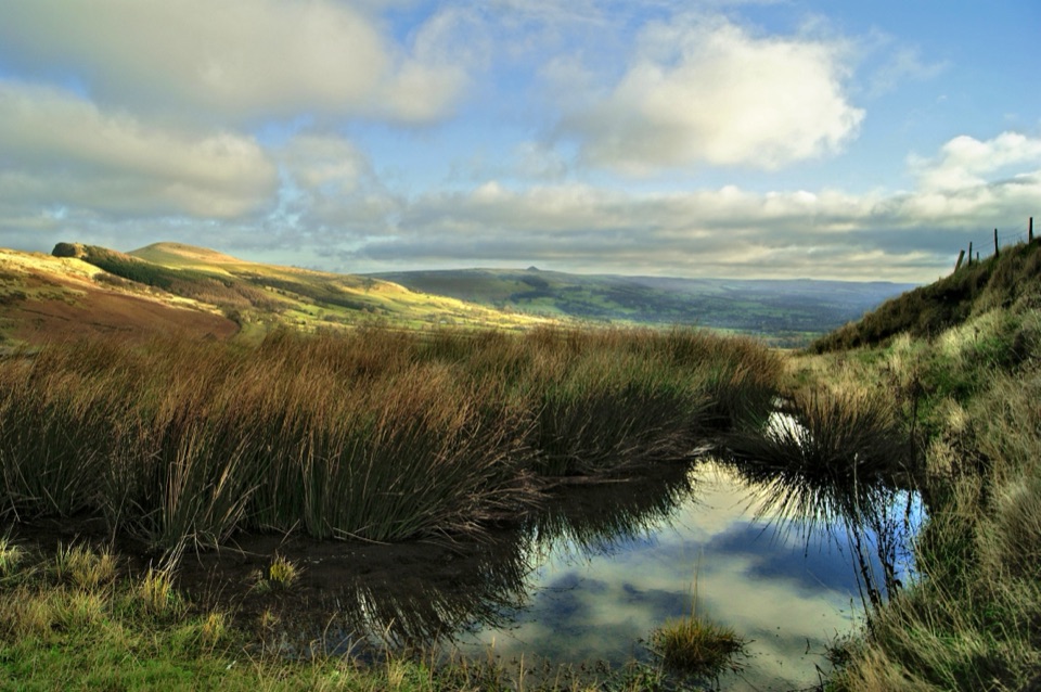
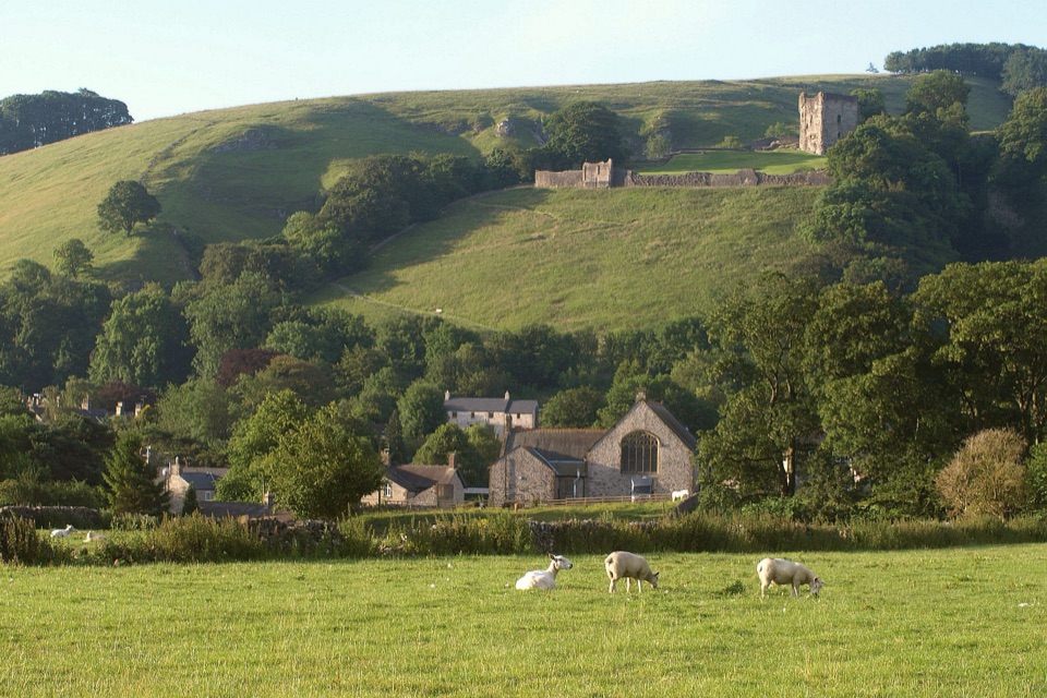
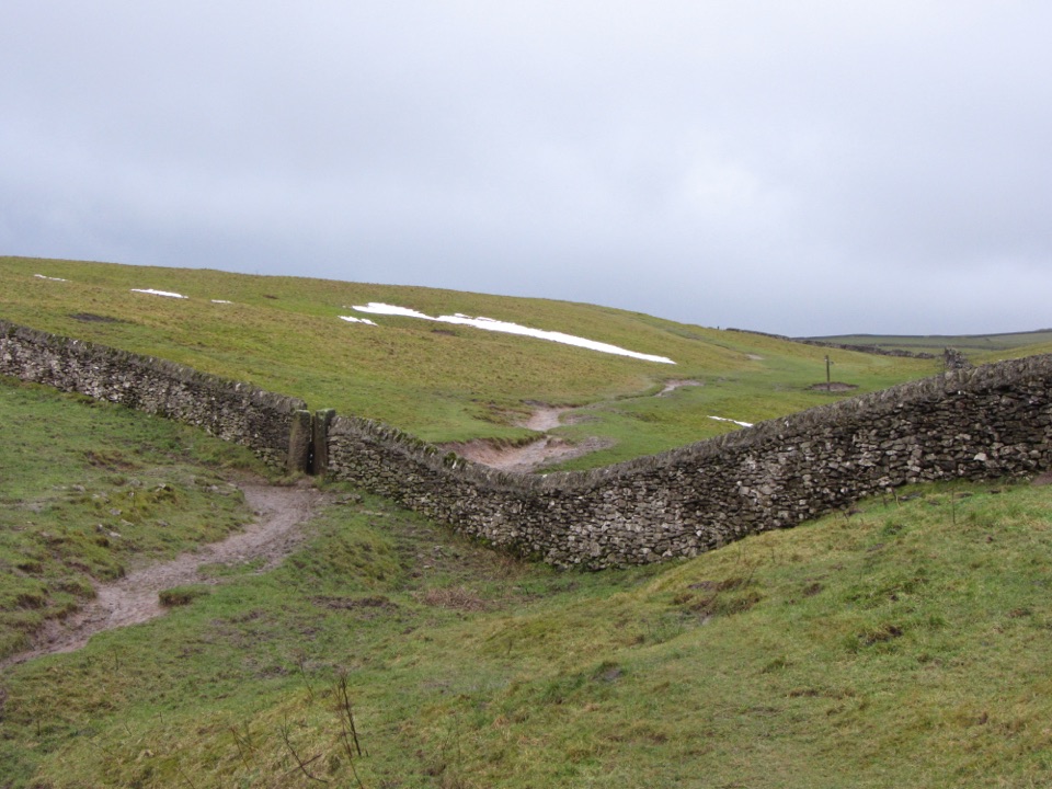
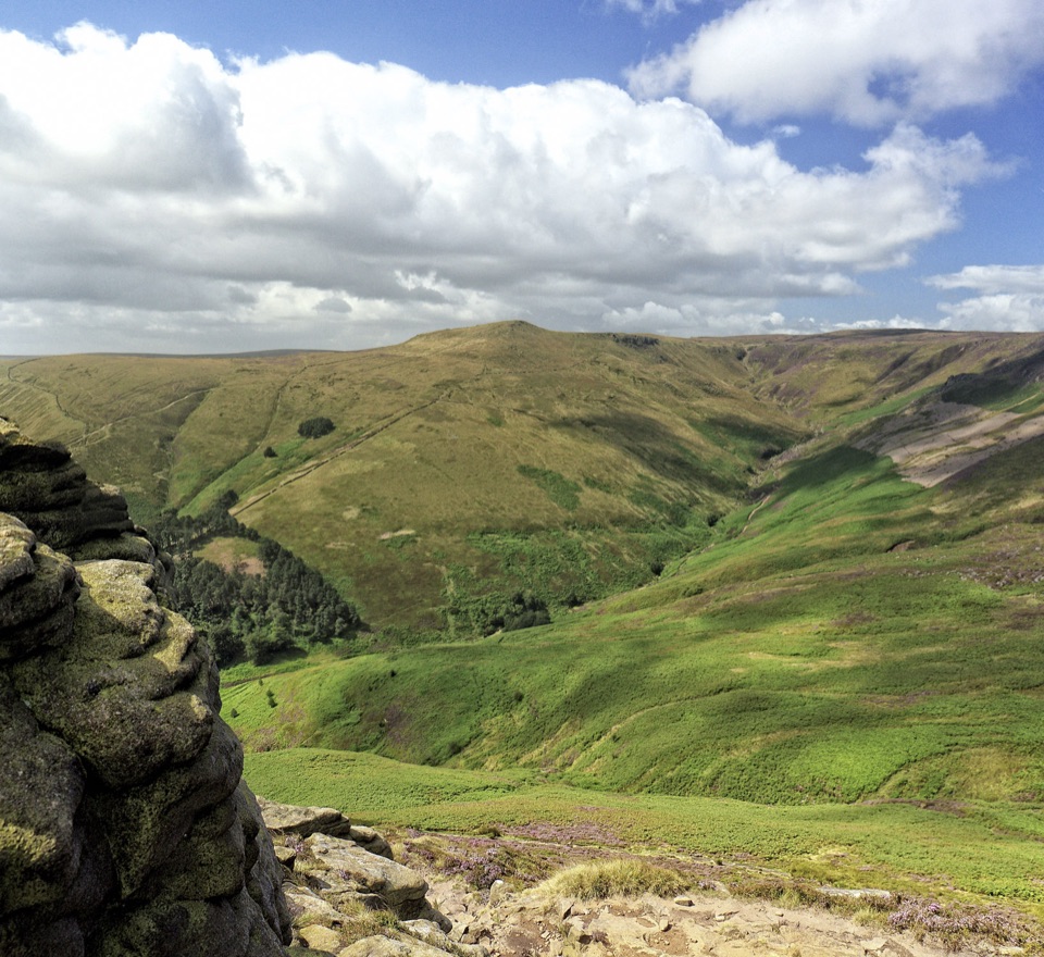
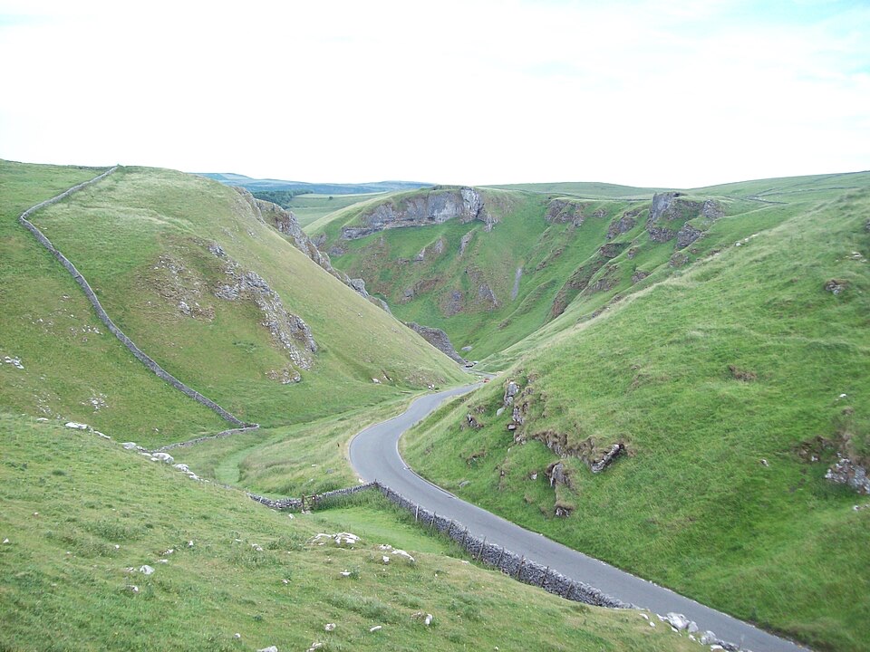
West of Castleton, the land splits open and a slim strip of asphalt threads through it. Winnats Pass is a limestone gorge with a public road running along its floor, walled by steep green slopes, exposed rock and dry-stone field boundaries, with sheep grazing the banks. Driving or walking it is the experience: the cleft narrows, the pinnacles rise on both sides, and the view opens out again over Hope Valley as you climb. The name is linked to the wind that swirls through the gap, which makes sense the moment you step out of the car.
Parkwolf’s verdictWhy stop

Map

Where it is

Loading the Peak District map
Full map
SightWinnats Pass53.34128, -1.80112
Keep this map with you offline in the Parkwolf app

Plan your stop

Before you go

5 active Peak District alerts

  • ClosureA54 Cat and Fiddle road closureThe A54 Macclesfield Main Road (Cat and Fiddle) is fully closed to all traffic from 27 July through 30 October 2026 during phase 1 improvement works.Official details
  • ClosureHooks Carr (Stanage Popular) car park closureHooks Carr (Stanage Popular) car park will be partially or fully closed from 6 October for four weeks.Official details
See all 5 alerts
A park ranger sits on a dash-mounted phone, talking, as Parkwolf’s Tour Guide plays “Army Cutworm Moths: A Grizzly Bear Buffet” on Grand Loop Road below Dunraven Pass in Yellowstone
Parkwolf Tour GuideThe highest, rockiest slopes around here are a summer buffet for grizzly bears.

Peak District Tour Guide

Your drive to Winnats Pass, narrated.

Parkwolf is a GPS audio tour guide for Peak District National Park. As you drive, it chimes in with what’s ahead: hidden gems, upcoming stops, history, geology, and wildlife, right through your car’s speakers.

Recorded for this place

Winnats Pass and Speedwell Cavern
0:00 / 0:37
“Winnats Pass is approaching, a narrow road squeezed between steep limestone walls. The drive itself is the attraction; there's no dependable pull-in, and the western stretch has no footway.”

Plays as you drive up to Winnats Pass in the Parkwolf Peak District Tour Guide.

More stories near here in the app

  • Treak Cliff and Blue John Caverns
  • Mam Tor and the Great Ridge
  • Peak Cavern and the Rope Makers' Village
  • Castleton Village and Peveril Castle
  • 298 audio storiesacross Peak District’s roads, triggered by GPS as you drive
  • Wildlife heatmapsfor Red Deer, Red Fox, Eurasian Otter, and 13 more
  • Works offlinemaps, 88 trails, 76 places, and audio download before you lose signal
  • CarPlay readysimple controls built for the drive
★★★★★
“Fantastic app with many points of information… It’s great to just turn on while you’re driving and it gives you an audio tour of the national Park. We love it!!!!”
JMJamesApp Store review
Download Parkwolf on the App StoreGet Parkwolf on Google Play

4.7 from 8,600+ ratings

Guide

More about Winnats Pass

What you see and doThe gorge itself, seen from inside it, with limestone walls closing in above the road.
  • The gorge itself, seen from inside it, with limestone walls closing in above the road.
  • The climb and descent, one of the more dramatic short stretches of road in the area, cutting through the hillside as it winds upward.
  • Wide views from the higher ground, back down the pass and out across the valley.
  • The landscape story, written in Carboniferous limestone that weathers into the steep faces and knuckles of rock around you.
How to approach itTreat this as a public road through open country rather than a serviced visitor stop.

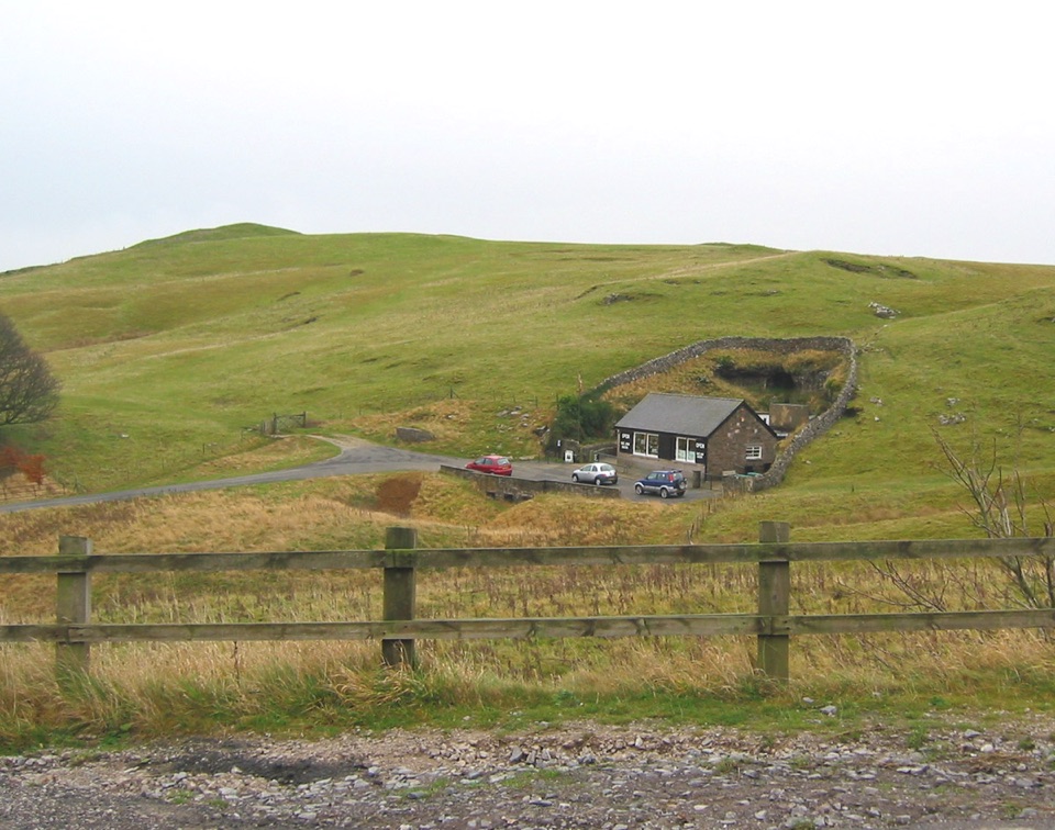
Treat this as a public road through open country rather than a serviced visitor stop. No on-site visitor facilities are verified here, and the parking and facilities you may read about nearby belong to other destinations along the ridge, not to the pass. Plan toilets, food and parking elsewhere, then come to the pass to see it.

The road is narrow and steep, with a recorded gradient of around 20 percent on the western section, and that section has no footway. Only stop where a legal, established place allows it, and do not leave a vehicle on the carriageway or on the verges. Formal viewing infrastructure and comfort facilities are not verified, so do not count on somewhere to sit or shelter while you wait for the light.

Walking and photographyWalking the road is popular and rewarding, but it calls for real care: traffic, tight bends, a…

Walking the road is popular and rewarding, but it calls for real care: traffic, tight bends, a steep gradient and no pavement on the western segment all combine, so walk in single file, stay alert and keep children and dogs close. The paths on the surrounding slopes are rough and steep, so wear sturdy footwear and bring layers if you leave the car; the pass funnels wind and the open slopes offer little cover.

For photographs, early morning or the later part of the day usually gives softer, more directional light on the limestone faces and a quieter feel on the road. Shooting from higher ground looking back down the cleft gives the strongest sense of depth. This is practical advice rather than a measured pattern, so allow flexibility.

Honest drawbacksIt is a working road first and a viewpoint second, which limits how relaxed a visit can feel.

It is a working road first and a viewpoint second, which limits how relaxed a visit can feel. There is nothing staffed or interpreted here, no ticketed facility and no guarantee of a convenient place to pull in. Large vehicles and touring coaches should not assume access, as no allowance for tourist buses is recorded for the route. If you want a leisurely stop with amenities, base yourself in Castleton and treat the pass as the scenic link between the village and the high ground.

Wildlife

Wildlife in Peak District

All Peak District wildlife maps

Sighting maps show where each species has been reported across Peak District. Wildlife moves, so no sighting is guaranteed.

Keep exploring

Near Winnats Pass

See it all on the map

Trails nearby

More stops nearby

Parkwolf’s Peak District ranking

Top sights in Peak District

All 76 places
  1. 1Chatsworth HouseSight
  2. 2Mam TorSight
  3. 3Dovedale Stepping StonesSight
  4. 4Ladybower ReservoirSight
  5. 5Stanage EdgeSight
  6. 6Kinder ScoutSight

Take Parkwolf to Peak District.

The audio tour guide for the drive, plus offline maps, trails, and wildlife heatmaps for when the signal drops.

4.7 from 8,600+ ratings

Download Parkwolf on the App StoreGet Parkwolf on Google Play