Parking
Start at the Burstall Pass Day Use Area parking lot off the Smith-Dorrien/Spray Trail. Pit toilets are at the lot.
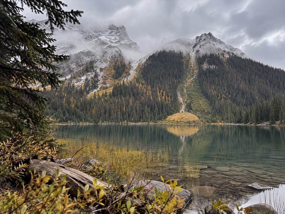
Peter Lougheed Provincial Park, AB
Find the lakes in the flats before the pass climbs steeply.
Overview
Map & elevation
Plan your hike

The highest, rockiest slopes around here are a summer buffet for grizzly bears.
Peter Lougheed Tour Guide
Parkwolf is a GPS audio tour guide for Peter Lougheed Provincial Park. As you drive, it chimes in with what’s ahead: hidden gems, upcoming stops, history, geology, and wildlife, right through your car’s speakers.
See the Peter Lougheed audio tourRecorded for this trailhead
Burstall Pass Day Use: Mud Lake Views“Burstall Pass Day Use Area is coming up, beside Mud Lake with a view of Commonwealth Mountain.”
Plays as you drive up to this trailhead in the Parkwolf Peter Lougheed Tour Guide.
More stories near here in the app
“Fantastic app with many points of information… It’s great to just turn on while you’re driving and it gives you an audio tour of the national Park. We love it!!!!”


Trail guide
Burstall Lakes Trail is the lower out-and-back on the Burstall Pass Trail from Burstall Pass Day Use Area into the lake flats and back. Plan for 4.5 miles round trip and about 2½ hours. This is a forest and valley walk with the lakes as the payoff; the sustained climb to Burstall Pass comes beyond the willow flats, so you can stop before the harder mountain leg.
A raised berm by Mud Lake leads from the day-use area into a wide, gently uphill gravel track through pine and fir. Burstall Creek runs below part of the approach. The forest opens into willow flats near the lakes, where water can flow across the trail. Short spurs lead toward the lakes; the main Burstall Pass Trail continues beyond them and climbs steeply.
This route turns back in the lower lake area, before the climb to the pass. Several published descriptions give different totals for the lake walk, from about 7.2 to 8.9 km round trip; another mentions 7.8 km without saying whether that is one way or return. They do not establish the same lake-side endpoint, so allow extra distance if you follow more of the spurs or wander farther across the flats. The full Burstall Pass hike is a separate 7.4 km one way with about 470 m of elevation gain.
Start at the Burstall Pass Day Use Area parking lot off the Smith-Dorrien/Spray Trail; pit toilets are at the lot. Dogs are allowed on leash no longer than 2 m. Flowing water can cover the willow flats, so expect wet, uneven footing around the lakes.
Wildlife
 132 sightingsGrizzly BearMost seen around 8 PMSighting map
 17 sightingsCanada LynxMost seen around 8 PMSighting map
 30 sightingsBlack BearMost seen around 6 AMSighting map
 69 sightingsMooseMost seen around 5 PMSighting map
 176 sightingsBighorn SheepMost seen around 6 PMSighting map
 19 sightingsBald EagleMost seen around 8 AMSighting map
Sighting maps show where each species has been reported across Peter Lougheed. Wildlife moves, so no sighting is guaranteed.
Keep exploring
 ChallengingBurstall Pass Trail14.8 km · 5 hr · At the trailheadLarch meadows lead to a limestone pass above the Spray River Valley
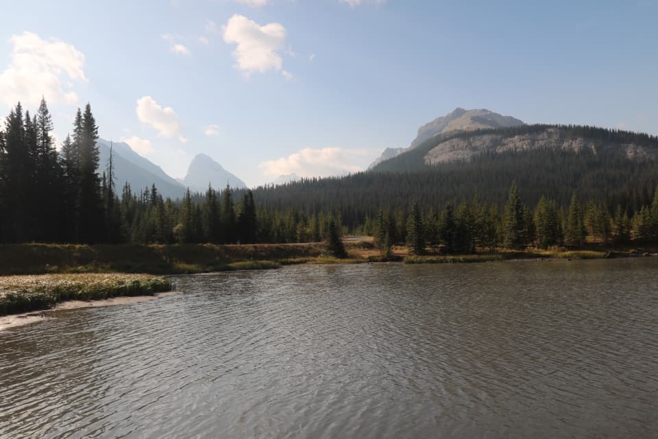 EasyHogarth Lakes Loop4.3 km · 1.5 hr · At the trailheadAn easy winter loop among forest lakes and Commonwealth Peak views.
 ModerateChester Lake Trail9.2 km · 3.5 hr · 0.2 km awayA steady climb through larch meadows to a high alpine lake.
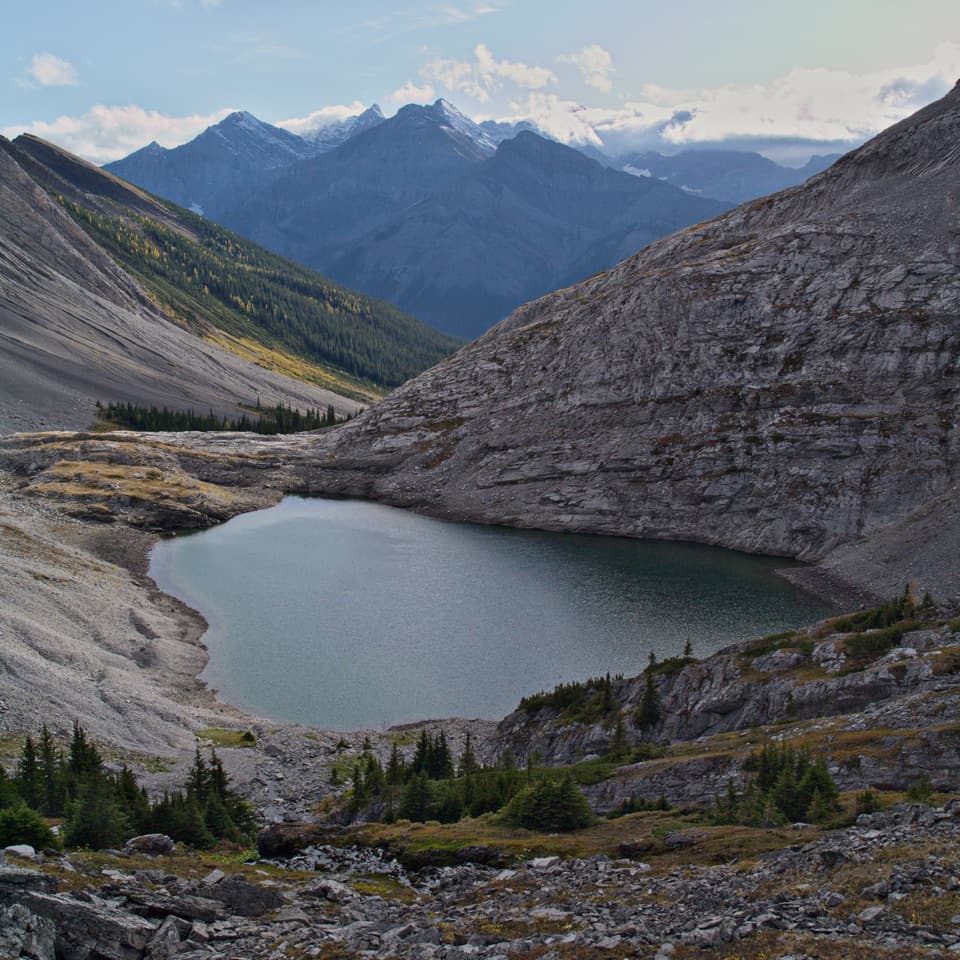 ChallengingHeadwall Lakes Trail13.7 km · 5.8 hr · 0.2 km awayTwo alpine lakes and a waterfall reward the long approach.
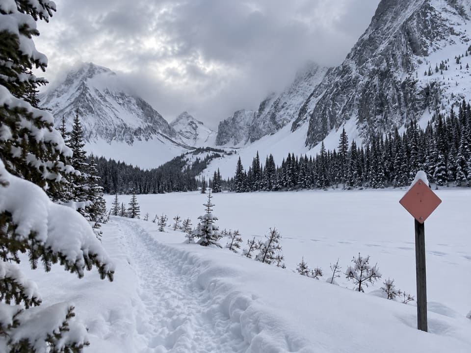 ModerateChester Lake Snowshoe Trail6.8 km · 3.5 hr · 0.2 km awaySnowshoe through forest to a lake beneath a wall of peaks.
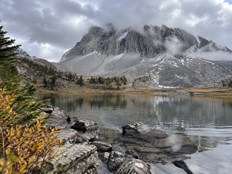 ChallengingThree Lakes Valley Trail12.2 km · 5 hr · 0.2 km awayThree tarns and a cairned climb below Gusty Peak.
 EasySouth Sawmill Loop3.7 km · 1.5 hr · 6.2 km awayA gentle winter loop on Mount Kent's forested west slope.
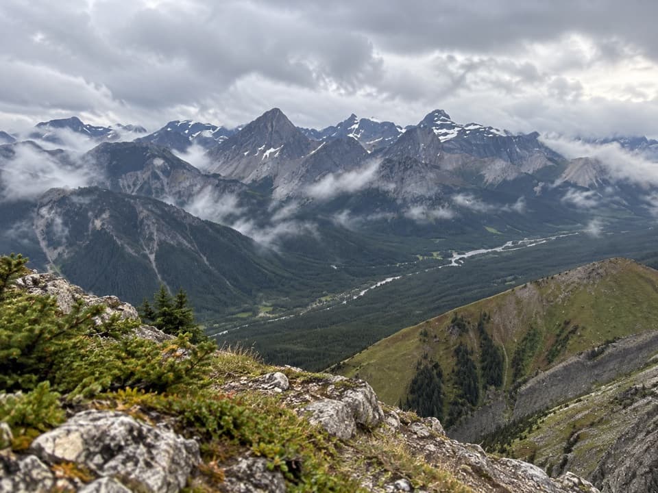 ChallengingKent Ridge North Summit8.1 km · 8 hr · 6.2 km awayA steep, faint loop to Kent Ridge North’s 2,923-metre summit.Picnic area · At the trailheadBurstall Pass Day Use AreaMud Lake and mountain views before the Burstall Pass hike.
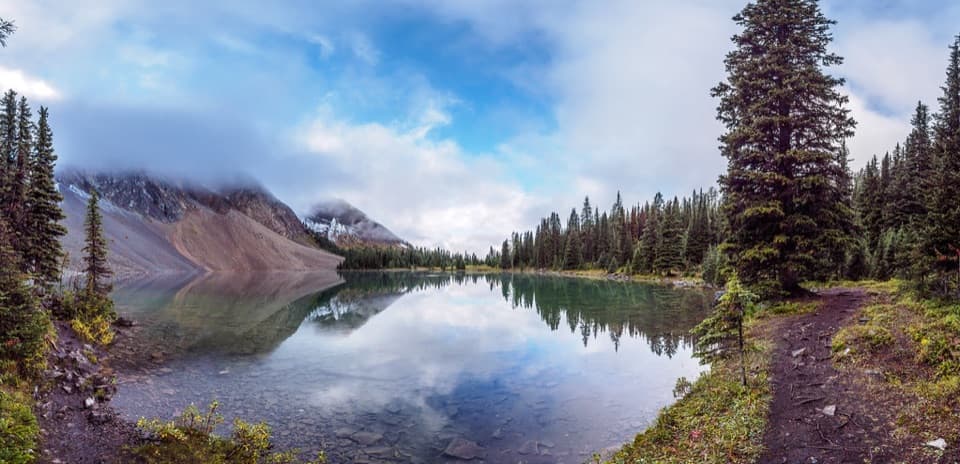 Sight · 3.2 km awayChester LakeThe mountain lake is worth the climb, especially when larches turn gold.
 Sight · 3.3 km awayElephant RocksKeep going past Chester Lake for a boulder scramble.
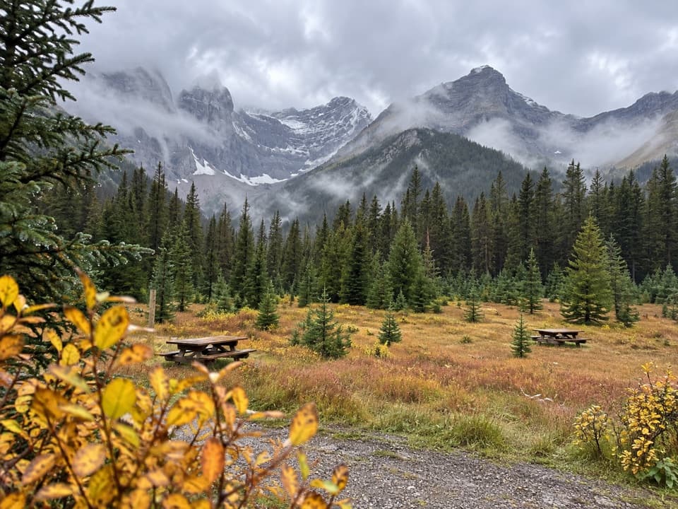 Picnic area · 6.3 km awaySawmill Day Use AreaA useful break for views of Mount Murray and Kent Ridge.
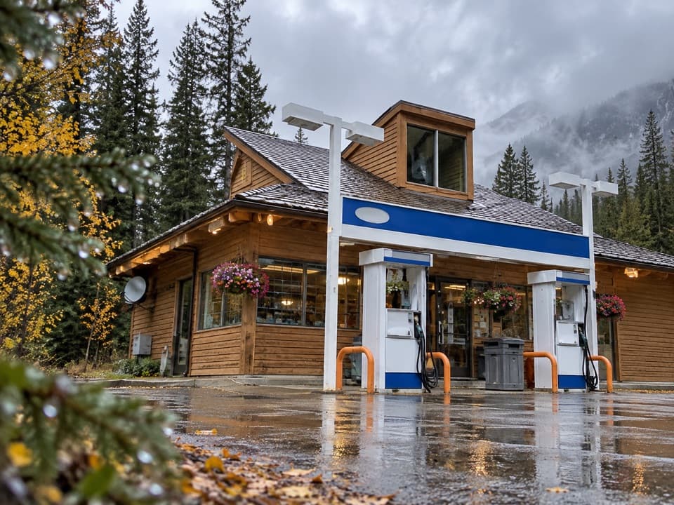 Gas station · 10.2 km awayFortress Junction Service StationA handy fuel and resupply stop on the way into Kananaskis.
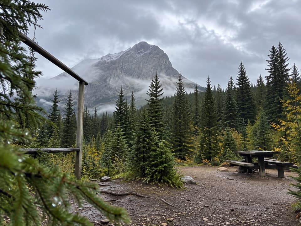 Campground · 11.8 km awayTurbine Canyon Backcountry CampgroundA 15-site forest camp reached by a long Kananaskis hike.
 Picnic area · 12 km awayBlack Prince Day Use AreaA practical picnic break on the Smith-Dorrien drive.
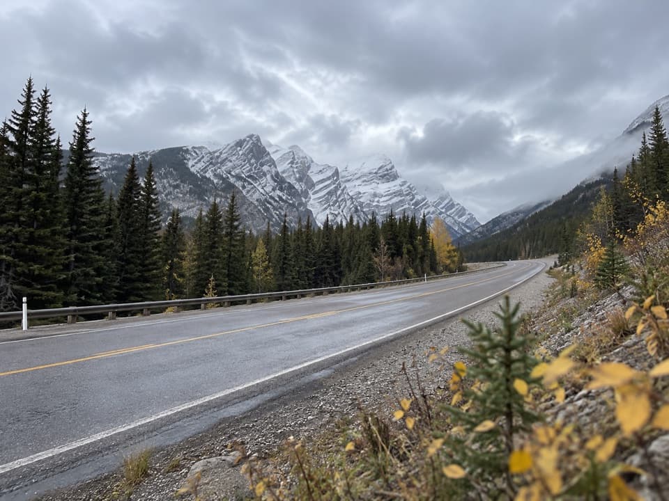 Sight · 12.1 km awayGrizzly Creek Day Use AreaA quick pull-off for a wide Kananaskis Valley view.
Parkwolf’s Peter Lougheed ranking

The audio tour guide for the drive, plus offline maps, trails, and wildlife heatmaps for when the signal drops.



