Parking
Park at Chester Lake Day Use Area off the gravel Smith-Dorrien-Spray Trail. The shared lot can be busy in larch season; an early start may help.
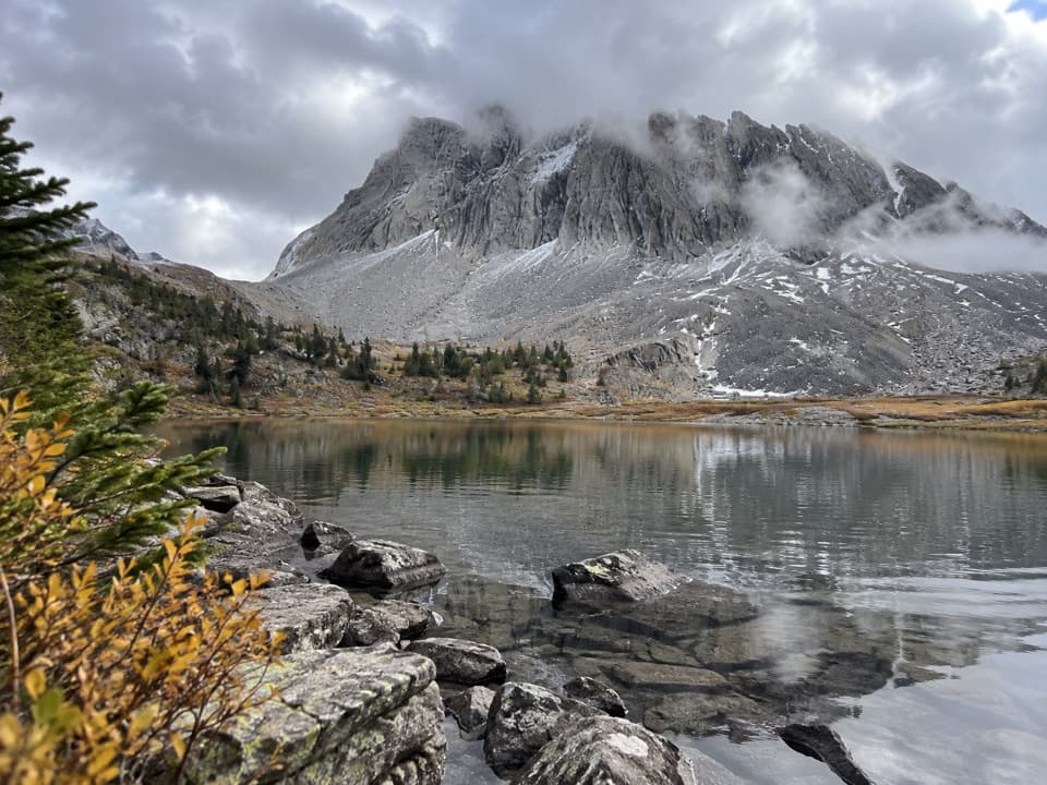
Peter Lougheed Provincial Park, AB
Three tarns and a cairned climb below Gusty Peak.
Overview
Map & elevation
Plan your hike

The highest, rockiest slopes around here are a summer buffet for grizzly bears.
Peter Lougheed Tour Guide
Parkwolf is a GPS audio tour guide for Peter Lougheed Provincial Park. As you drive, it chimes in with what’s ahead: hidden gems, upcoming stops, history, geology, and wildlife, right through your car’s speakers.
See the Peter Lougheed audio tourRecorded for this trailhead
Chester Lake: A Half-Day Hike“You're approaching the Chester Lake trailhead, for a hike to an alpine lake beneath Mount Chester's steep rock wall.”
Plays as you drive up to this trailhead in the Parkwolf Peter Lougheed Tour Guide.
More stories near here in the app
“Fantastic app with many points of information… It’s great to just turn on while you’re driving and it gives you an audio tour of the national Park. We love it!!!!”


Trail guide
Three Lakes Valley is a hard 7.6-mile (12.2-km) out-and-back from Chester Lake Day Use, with about 1,870 feet (570 m) of climbing. Allow around five hours. The route climbs through forest and an alpine basin to three small tarns beneath Gusty Peak and Mount Galatea, then returns by the same corridor. Choose it for a longer, less obvious extension; the Chester Lake shore alone makes a much shorter 5.7-mile (9.2-km) return.
The first 2 km follows a forested old logging road. Clearings around 2.2 and 3.9 km open views toward Mount Chester and its braided streams. At Chester Lake, cross the log bridge; about 60 m beyond it, take the left branch climbing away from the water; the right branch continues around the shoreline and stays on the shorter lake walk. Elephant Rocks are about 300 m beyond the fork, followed by a stream and rocky shelf on the climb to the first blue-green tarn.
Above the first lake, the worn tread thins across rocky ground; cairns guide the continuation toward the other tarns. The last lake is small and set among talus beneath Gusty Peak and Mount Galatea. Keep track of the cairns and turn back if the route disappears. The saved distance follows the connected corridor to the upper lake and back. Published totals range from about 12.4 to 15.6 km because the endpoint is not standardized; walking farther across the basin or to the cairned lookout adds distance.
The larch-covered slope turns gold in mid-to-late September. Elephant Rocks are an unusual cluster of boulders beside the route. The first tarn reflects the west face of Gusty Peak; for a photo, include shoreline rocks in the foreground to anchor the scale of the mountain. Beyond the lake, the view opens across Smith-Dorrien Summit toward the glaciated Continental Divide.
Wildlife
 132 sightingsGrizzly BearMost seen around 8 PMSighting map
 17 sightingsCanada LynxMost seen around 8 PMSighting map
 30 sightingsBlack BearMost seen around 6 AMSighting map
 69 sightingsMooseMost seen around 5 PMSighting map
 176 sightingsBighorn SheepMost seen around 6 PMSighting map
 19 sightingsBald EagleMost seen around 8 AMSighting map
Sighting maps show where each species has been reported across Peter Lougheed. Wildlife moves, so no sighting is guaranteed.
Keep exploring
 ModerateChester Lake Trail9.2 km · 3.5 hr · 0.1 km awayA steady climb through larch meadows to a high alpine lake.
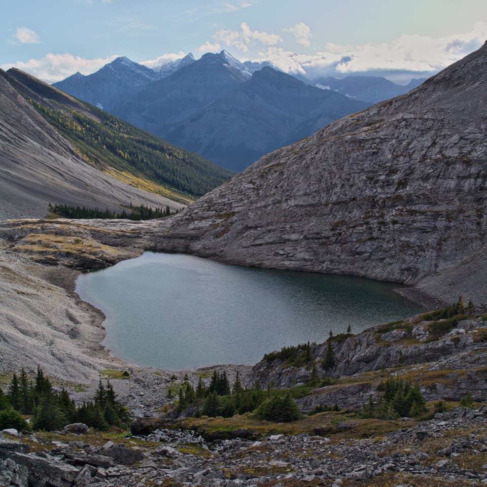 ChallengingHeadwall Lakes Trail13.7 km · 5.8 hr · 0.1 km awayTwo alpine lakes and a waterfall reward the long approach.
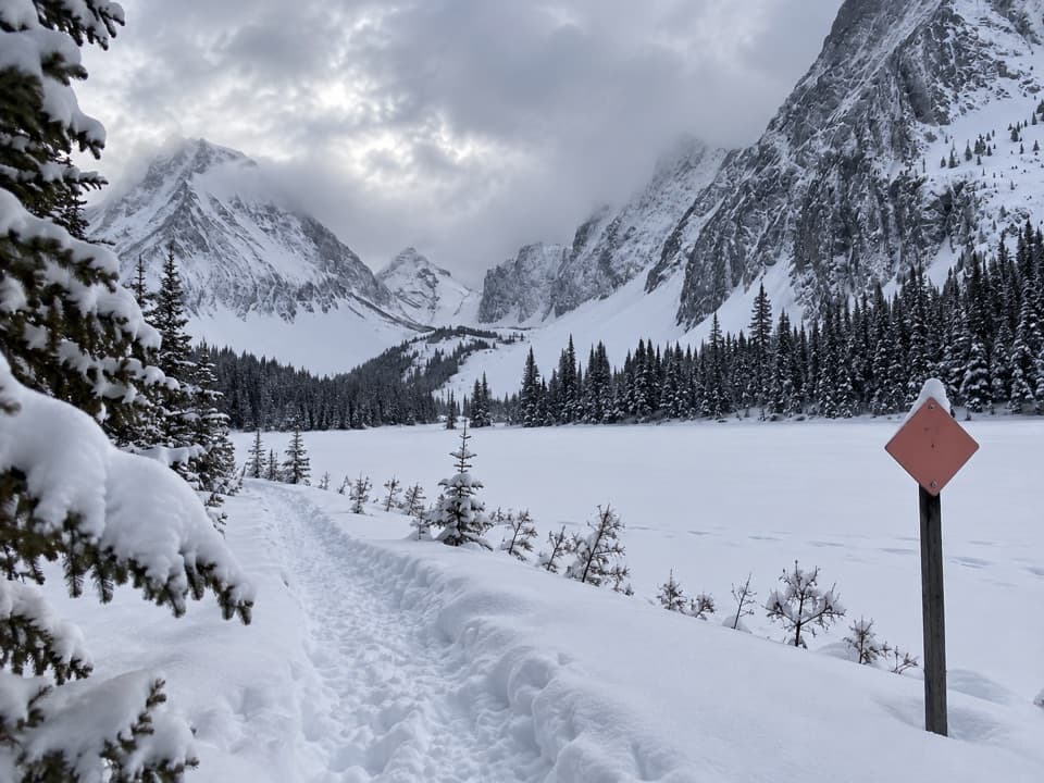 ModerateChester Lake Snowshoe Trail6.8 km · 3.5 hr · 0.1 km awaySnowshoe through forest to a lake beneath a wall of peaks.
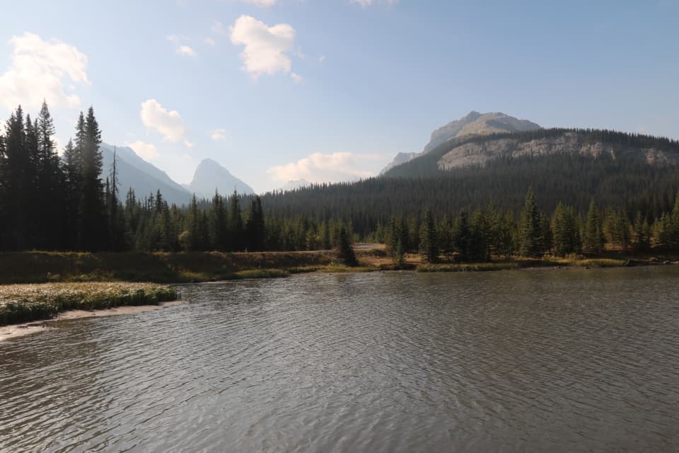 EasyHogarth Lakes Loop4.3 km · 1.5 hr · 0.2 km awayAn easy winter loop among forest lakes and Commonwealth Peak views.
 ChallengingBurstall Pass Trail14.8 km · 5 hr · 0.2 km awayLarch meadows lead to a limestone pass above the Spray River Valley
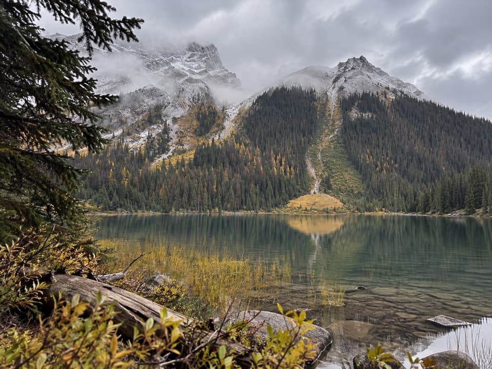 ModerateBurstall Lakes Trail7.2 km · 2.5 hr · 0.2 km awayFind the lakes in the flats before the pass climbs steeply.
 EasySouth Sawmill Loop3.7 km · 1.5 hr · 6 km awayA gentle winter loop on Mount Kent's forested west slope.
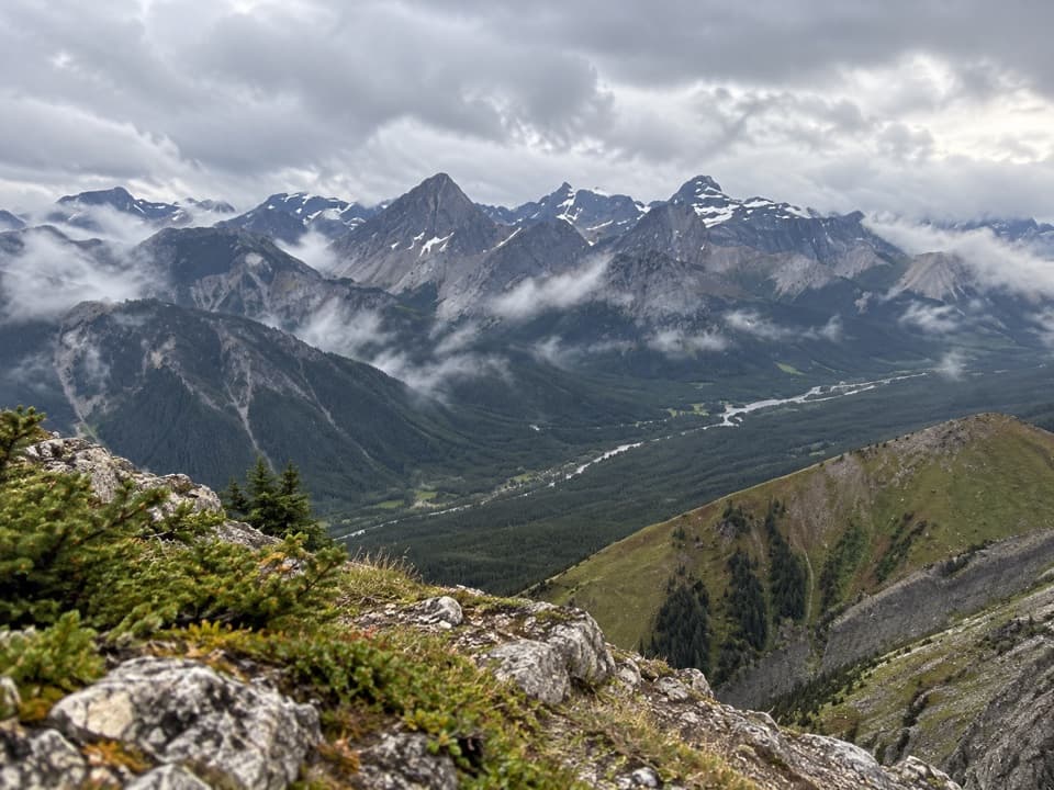 ChallengingKent Ridge North Summit8.1 km · 8 hr · 6 km awayA steep, faint loop to Kent Ridge North’s 2,923-metre summit.Picnic area · 0.2 km awayBurstall Pass Day Use AreaMud Lake and mountain views before the Burstall Pass hike.
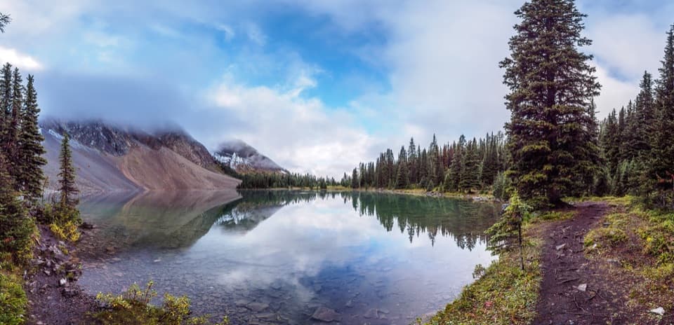 Sight · 3.1 km awayChester LakeThe mountain lake is worth the climb, especially when larches turn gold.
 Sight · 3.2 km awayElephant RocksKeep going past Chester Lake for a boulder scramble.
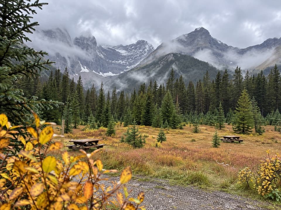 Picnic area · 6.1 km awaySawmill Day Use AreaA useful break for views of Mount Murray and Kent Ridge.
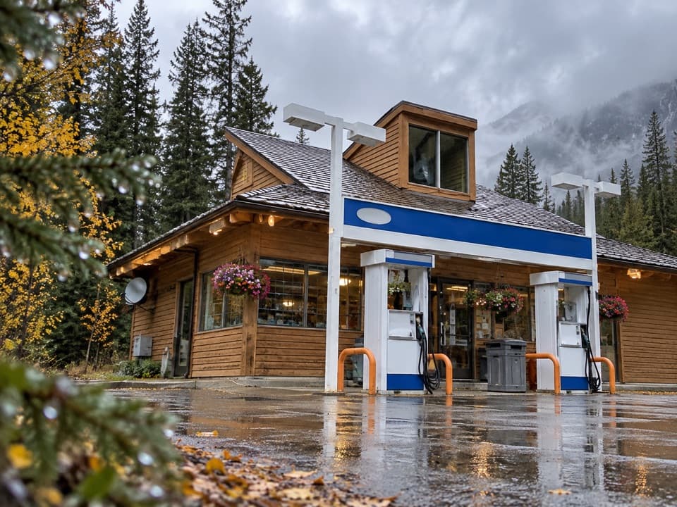 Gas station · 9.9 km awayFortress Junction Service StationA handy fuel and resupply stop on the way into Kananaskis.
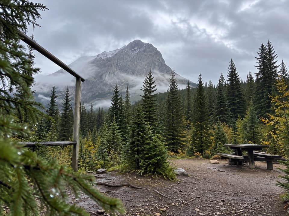 Campground · 11.7 km awayTurbine Canyon Backcountry CampgroundA 15-site forest camp reached by a long Kananaskis hike.
 Picnic area · 11.8 km awayBlack Prince Day Use AreaA practical picnic break on the Smith-Dorrien drive.
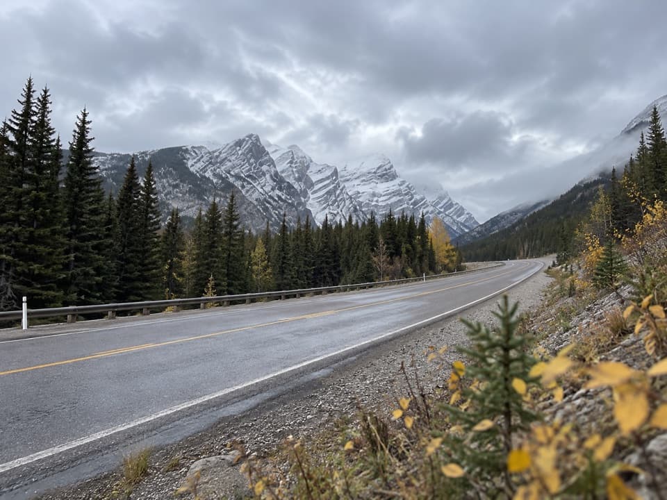 Sight · 11.8 km awayGrizzly Creek Day Use AreaA quick pull-off for a wide Kananaskis Valley view.
Parkwolf’s Peter Lougheed ranking

The audio tour guide for the drive, plus offline maps, trails, and wildlife heatmaps for when the signal drops.



