Parking
Use Sawmill Day Use Area on Highway 742. The winter access starts at the far end of the lot; follow the High Rockies Trail south for about 0.5 km to the loop.

Peter Lougheed Provincial Park, AB
A gentle winter loop on Mount Kent's forested west slope.
Overview
Map & elevation
Plan your hike

The highest, rockiest slopes around here are a summer buffet for grizzly bears.
Peter Lougheed Tour Guide
Parkwolf is a GPS audio tour guide for Peter Lougheed Provincial Park. As you drive, it chimes in with what’s ahead: hidden gems, upcoming stops, history, geology, and wildlife, right through your car’s speakers.
See the Peter Lougheed audio tourRecorded for this trailhead
Sawmill: Picnic Views and Ski Roots“Sawmill Day Use Area is coming up, with picnic tables and benches looking toward Mount Murray and Kent Ridge. I'd stop for a short break and the view; you don't need to take on a hike.”
Plays as you drive up to this trailhead in the Parkwolf Peter Lougheed Tour Guide.
More stories near here in the app
“Fantastic app with many points of information… It’s great to just turn on while you’re driving and it gives you an audio tour of the national Park. We love it!!!!”


Trail guide
South Sawmill Loop is a winter-only route on Mount Kent's west-facing forest slope. From Sawmill Day Use, the full outing is about 3.8 km: follow the High Rockies Trail south for roughly 0.5 km, complete the 2.8 km loop, then return along the same access path. Allow about 1.5 hours. It is rated easy, with roughly 80 m of gain. Go counterclockwise for the best use of the limited views; this is a forest walk, not a panoramic summit hike.
The approach follows the High Rockies Trail south from the day-use area. The loop then winds through forest on Mount Kent's west-facing slope. The trails are described as good and wide, with a modest climb; the winter route is designated for winter hiking, snowshoeing and fat biking. Dogs are allowed on leash, and riders share the track, so listen for fat bikes.
The loop follows an old ski trail that volunteers brushed out over two summers. Sawmill has a longer cross-country-ski story too: local volunteers cleared 10 km of trails in 1983, and a Western Canadian championship was held from the area the following winter. Benches at Sawmill Day Use look toward Mount Murray and Kent Ridge. A washroom and food lockers are at the separate hiker-cyclist campground.
Wildlife
 132 sightingsGrizzly BearMost seen around 8 PMSighting map
 17 sightingsCanada LynxMost seen around 8 PMSighting map
 30 sightingsBlack BearMost seen around 6 AMSighting map
 69 sightingsMooseMost seen around 5 PMSighting map
 176 sightingsBighorn SheepMost seen around 6 PMSighting map
 19 sightingsBald EagleMost seen around 8 AMSighting map
Sighting maps show where each species has been reported across Peter Lougheed. Wildlife moves, so no sighting is guaranteed.
Keep exploring
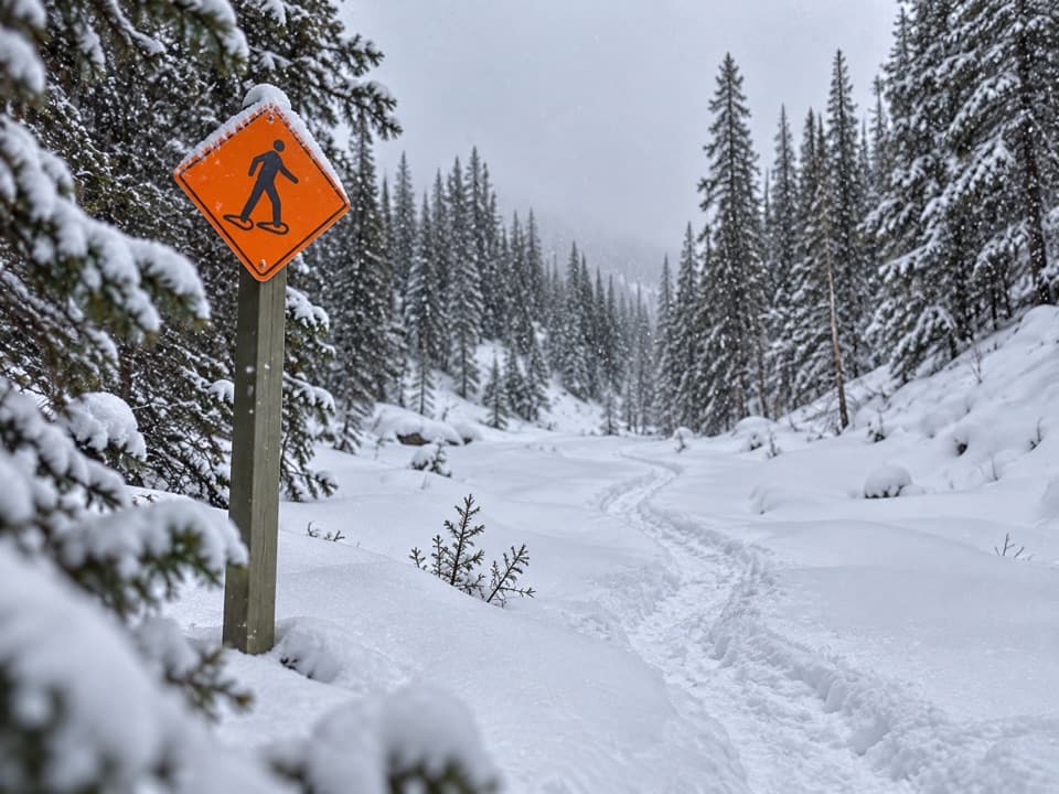 EasySawmill Loop Snowshoe Trail5.1 km · 1.8 hr · At the trailheadA snowy creekside loop through quiet Kananaskis forest.
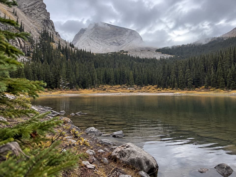 ChallengingJames Walker Creek Trail11.3 km · 4.5 hr · At the trailheadA creek valley hike to tarns, falls, and a steep alpine basin.
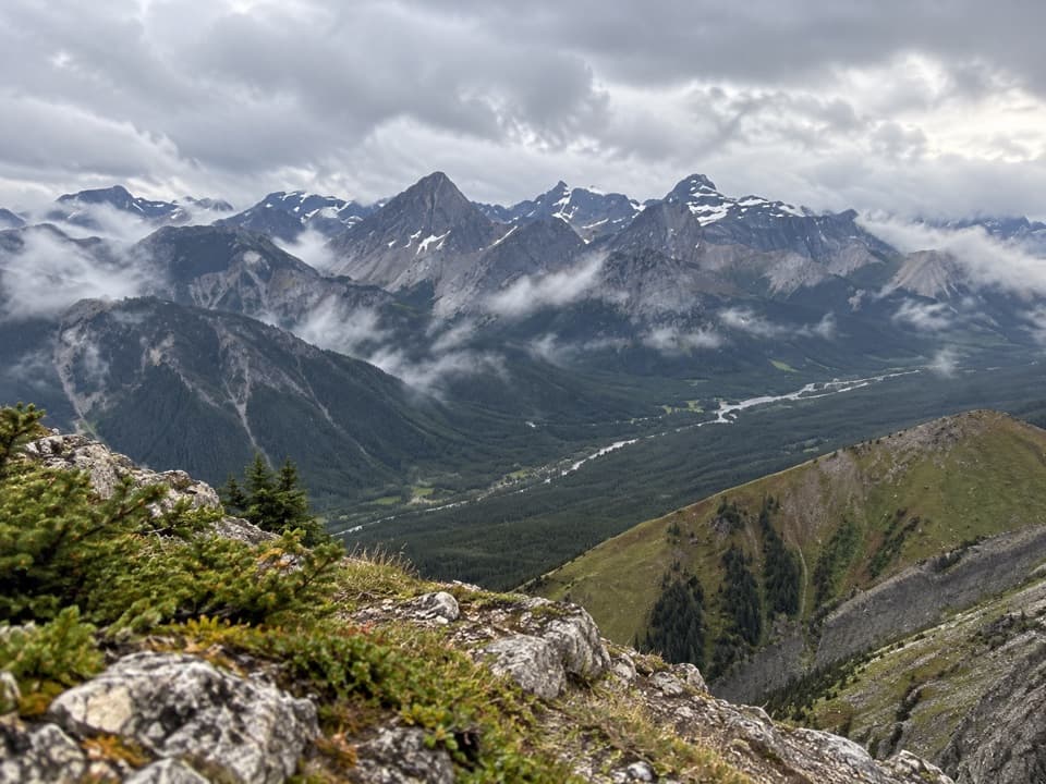 ChallengingKent Ridge North Summit8.1 km · 8 hr · At the trailheadA steep, faint loop to Kent Ridge North’s 2,923-metre summit.
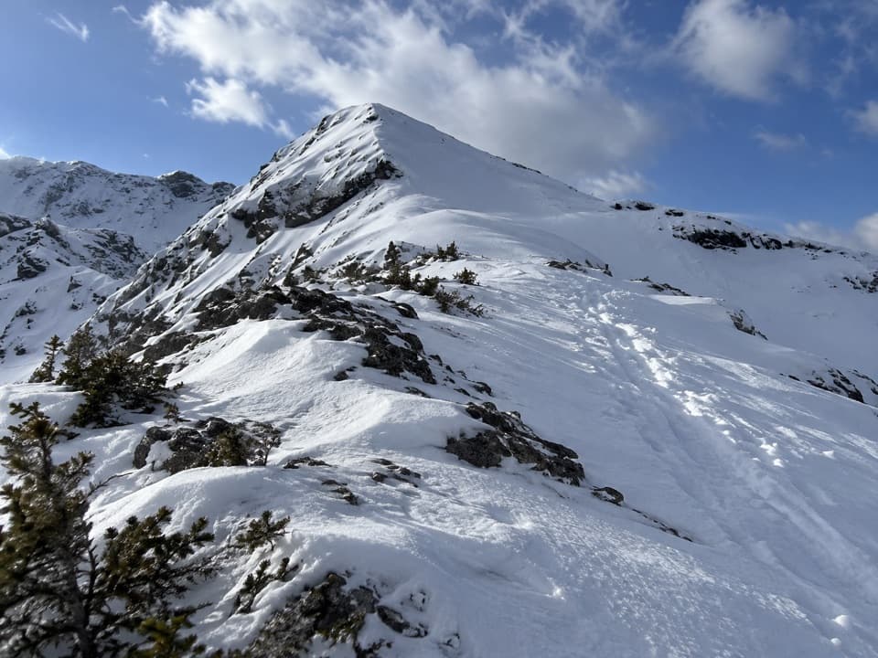 ChallengingBlacksmith Ridge Trail via Smith-Dorrien Creek6.8 km · 4 hr · 4.3 km awayA steep climb with a hidden fork and an open ridge.
 ChallengingBlack Prince Lakes Trail9.8 km · 5 hr · 5.7 km awayCairns lead beyond Warspite Lake to an unsigned alpine cirque.
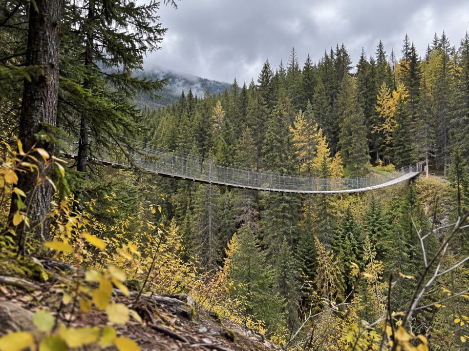 EasyBlack Shale Suspension Bridge Trail6.8 km · 2 hr · 5.8 km awayA forest walk builds to a 73 m suspension bridge.
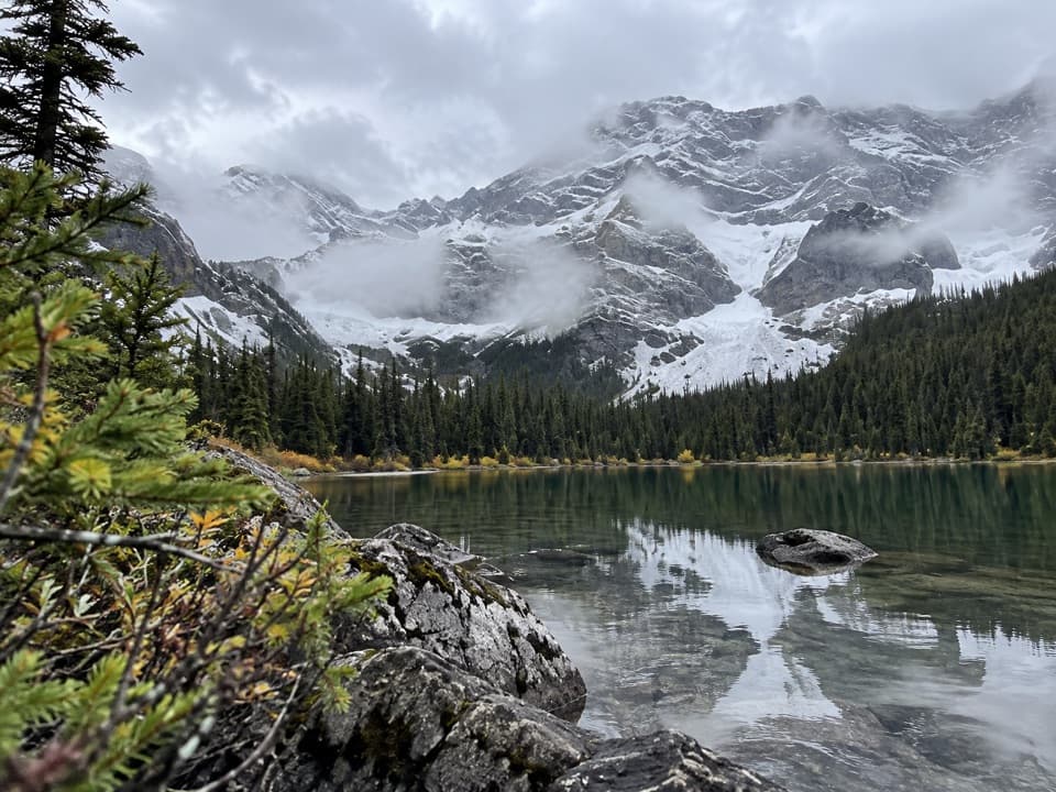 ChallengingWarspite Ridge Trail10 km · 4.5 hr · 5.8 km awayA steep, hands-on climb to the ridge above Warspite Lake.
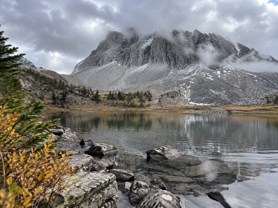 ChallengingThree Lakes Valley Trail12.2 km · 5 hr · 6 km awayThree tarns and a cairned climb below Gusty Peak.
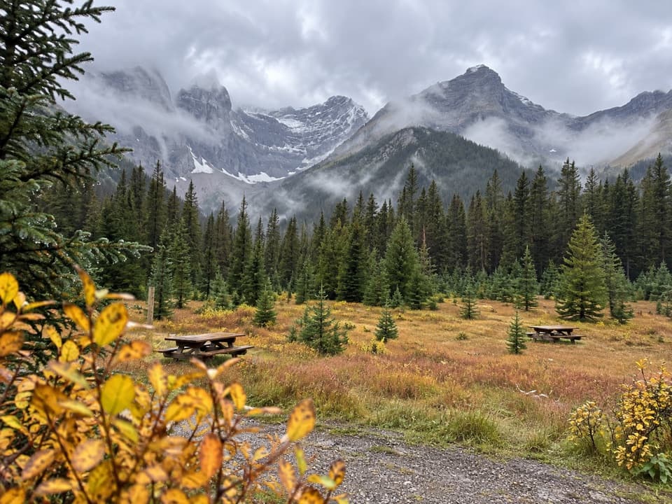 Picnic area · At the trailheadSawmill Day Use AreaA useful break for views of Mount Murray and Kent Ridge.
 Picnic area · 5.8 km awayBlack Prince Day Use AreaA practical picnic break on the Smith-Dorrien drive.
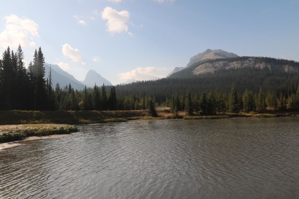 Picnic area · 6.2 km awayBurstall Pass Day Use AreaMud Lake and mountain views before the Burstall Pass hike.
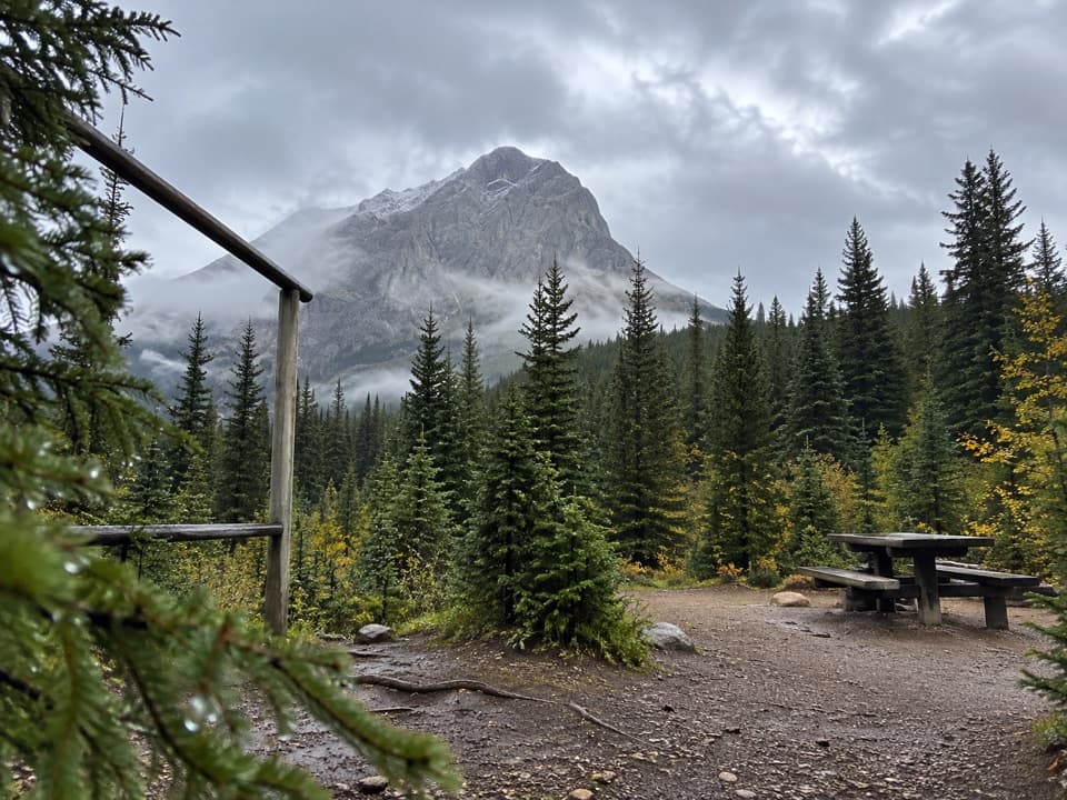 Campground · 7.2 km awayTurbine Canyon Backcountry CampgroundA 15-site forest camp reached by a long Kananaskis hike.
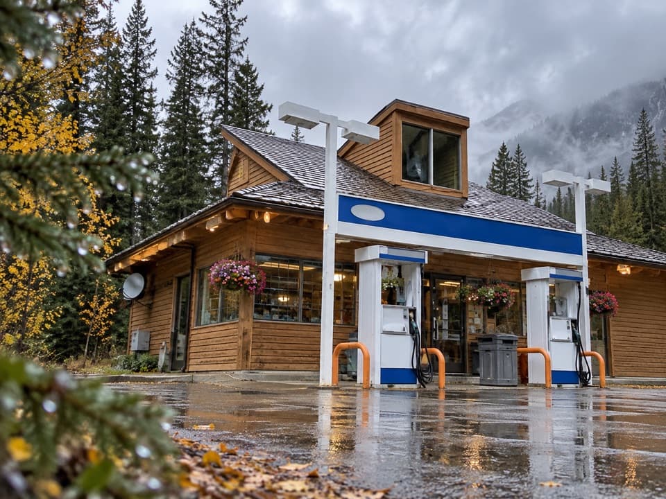 Gas station · 7.3 km awayFortress Junction Service StationA handy fuel and resupply stop on the way into Kananaskis.
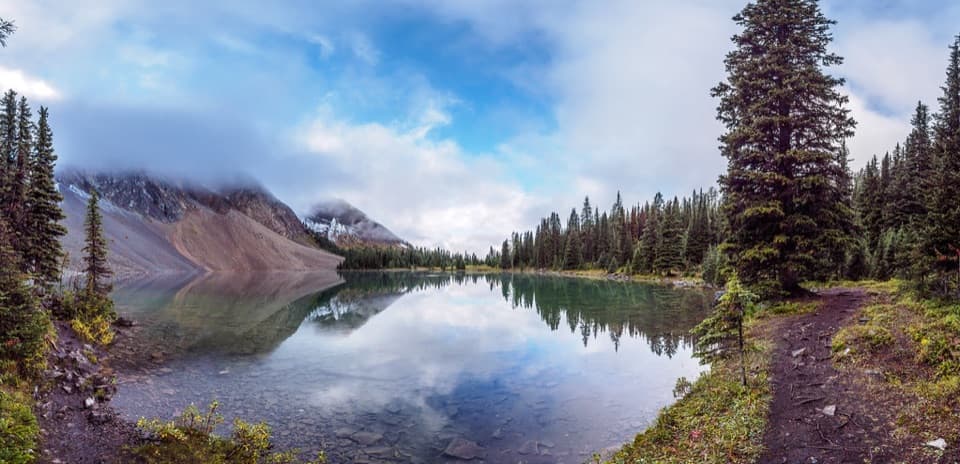 Sight · 7.3 km awayChester LakeThe mountain lake is worth the climb, especially when larches turn gold.
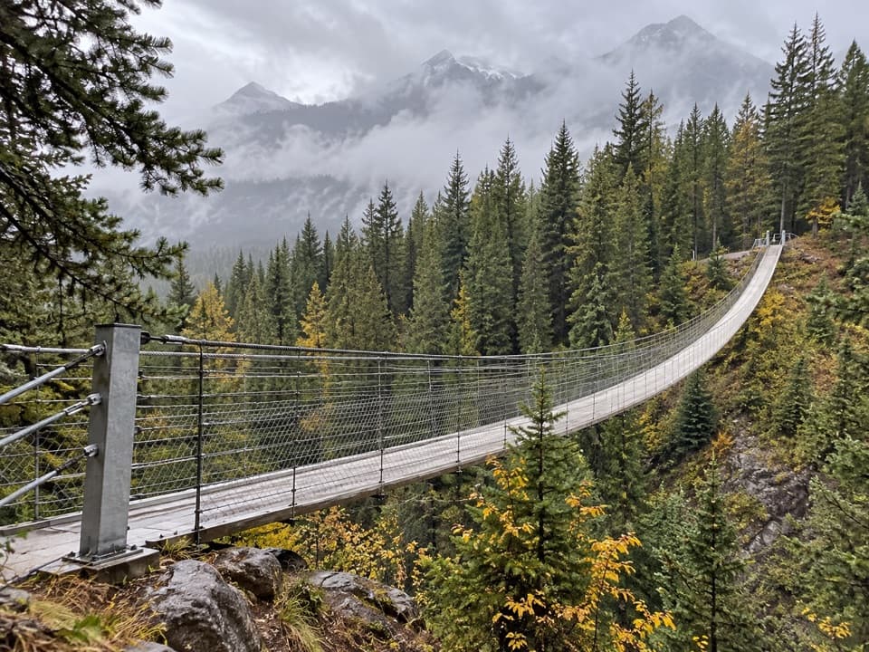 Sight · 7.5 km awayBlackshale Creek Suspension BridgeA 73-metre span makes a creek crossing the payoff.
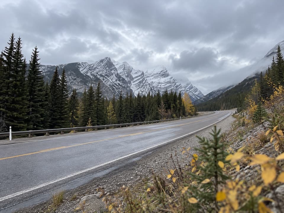 Sight · 7.7 km awayGrizzly Creek Day Use AreaA quick pull-off for a wide Kananaskis Valley view.
Parkwolf’s Peter Lougheed ranking

The audio tour guide for the drive, plus offline maps, trails, and wildlife heatmaps for when the signal drops.





