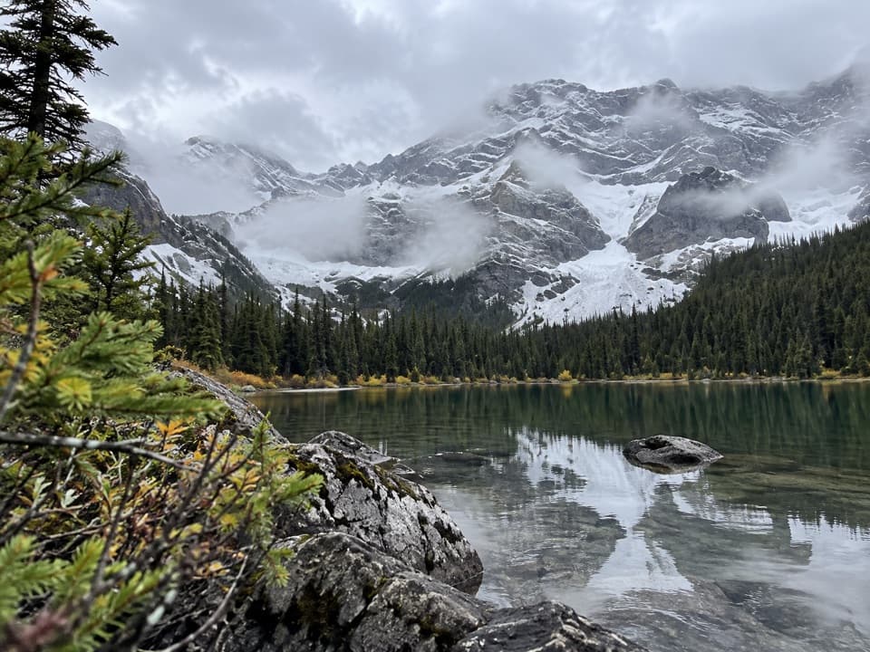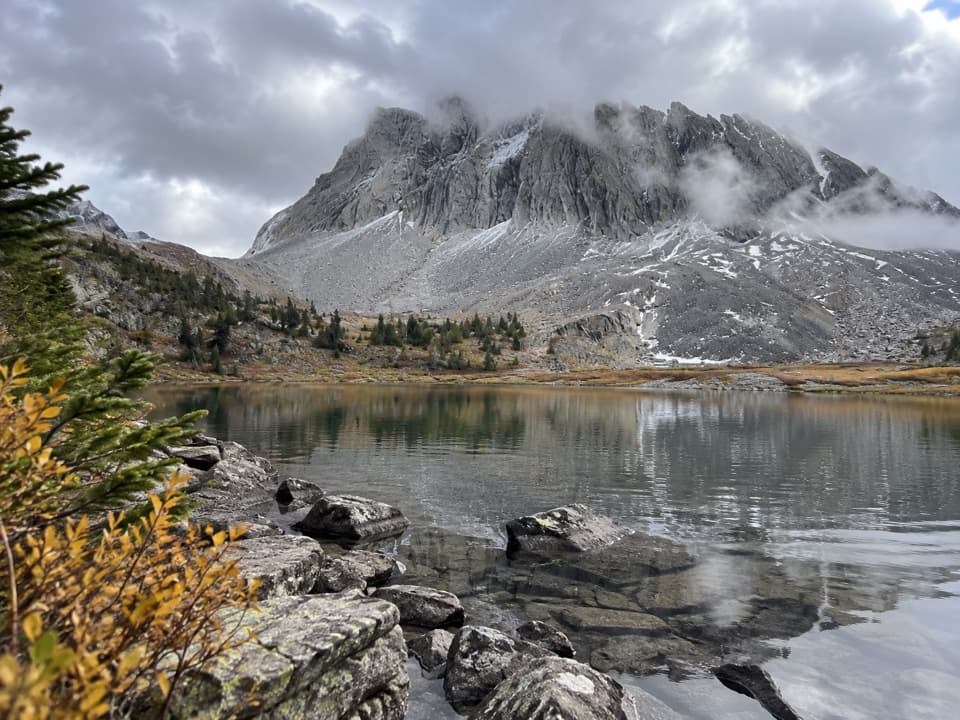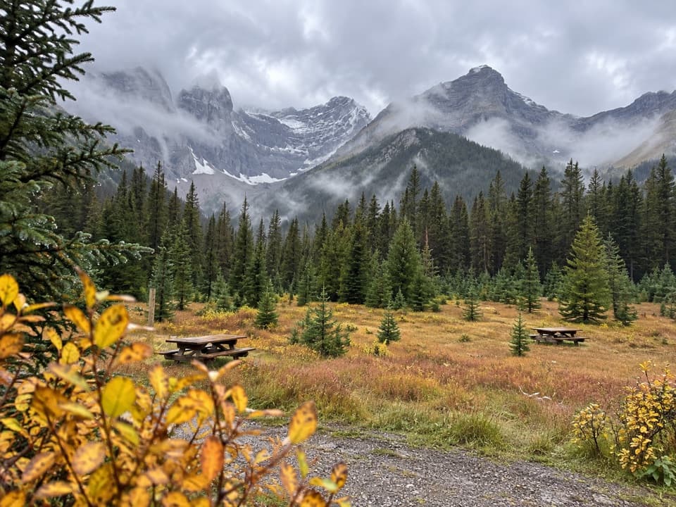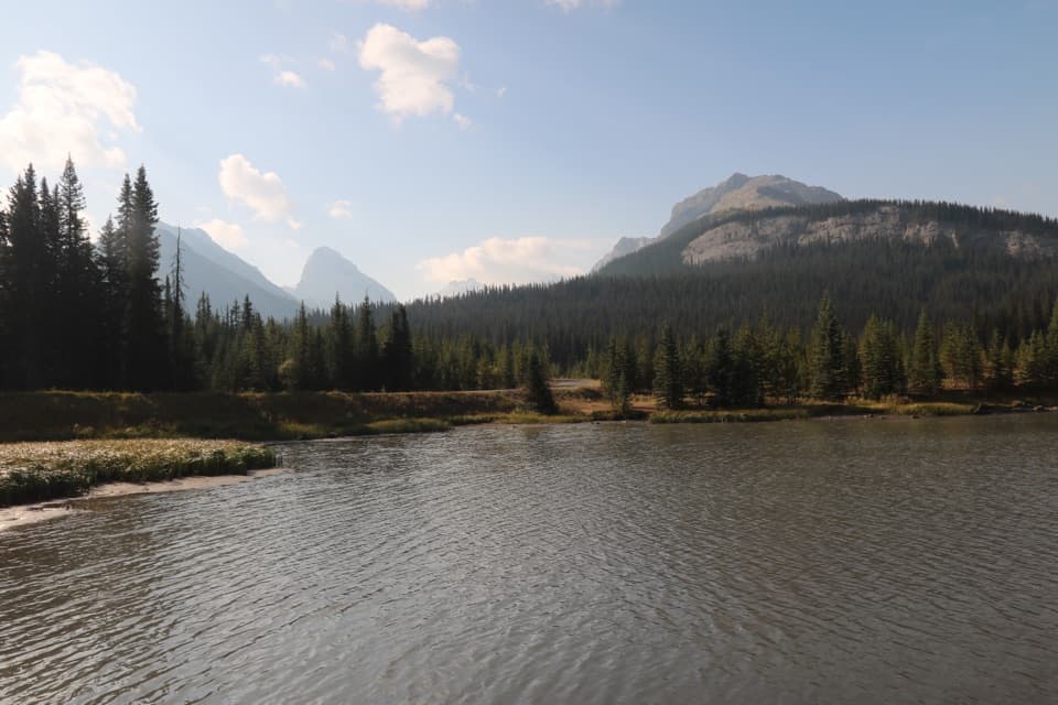
Kent Ridge North Summit in Peter Lougheed Provincial Park

Peter Lougheed Provincial Park, AB

Kent Ridge North Summit

A steep, faint loop to Kent Ridge North’s 2,923-metre summit.

Length
8.1km
Time
8hr
Elev. change
1,047m
Difficulty
Challenging
  • Loop
  • Dogs allowed
  • High point 2,872 m

Hear the audio tour

Sawmill: Picnic Views and Ski Roots

Overview

About Kent Ridge North Summit

Why go

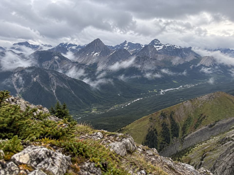
  • Wide summit views across the Kananaskis ranges
  • A loop return over West Outlier avoids repeating the ascent gully

Heads up

  • Faint, overgrown approach is easy to lose
  • Steep loose slopes and about 1,100 metres of climbing make it strenuous

Map & elevation

The route

Loading the Peter Lougheed map
Full map
Elevation1,825–2,872 m
TrailheadSawmill Day Use Area50.74866, -115.24527
Keep this map with you offline in the Parkwolf app

Plan your hike

Before you go

Parking

Start at Sawmill Day Use Area on Highway 742. A Kananaskis Conservation Pass is required to park. Use the day-use lot and washroom, then walk north of the graded road behind the washroom to the metal gate; the route does not start up that graded road.

Safety

This is an informal, unmaintained route with easy-to-miss logging-road turns, disappearing tread, a steep loose gully and a long scree slope. Route-finding and scrambling experience are essential. Carry bear spray, keep pets leashed, and confirm current access with Alberta Parks before setting out.

4 active Peter Lougheed alerts

  • ClosureTrail closures and Three Isle detourThree trail sections remain closed; stay out of closed areas and follow the signed Three Isle detour to reach the open backcountry campgrounds.Official details
  • CautionBear activity near Elpoca and ValleyviewFrequent bear activity has been noted along Valleyview Road from Elpoca Day Use Area south to Highway 40, near Little Highwood Pass and Valleyview Day Use Areas; use bear precautions.Official details
See all 4 alerts
A park ranger sits on a dash-mounted phone, talking, as Parkwolf’s Tour Guide plays “Army Cutworm Moths: A Grizzly Bear Buffet” on Grand Loop Road below Dunraven Pass in Yellowstone
Parkwolf Tour GuideThe highest, rockiest slopes around here are a summer buffet for grizzly bears.

Peter Lougheed Tour Guide

Your drive to Kent Ridge North Summit, narrated.

Parkwolf is a GPS audio tour guide for Peter Lougheed Provincial Park. As you drive, it chimes in with what’s ahead: hidden gems, upcoming stops, history, geology, and wildlife, right through your car’s speakers.

See the Peter Lougheed audio tour

Recorded for this trailhead

Sawmill: Picnic Views and Ski Roots
0:00 / 0:19
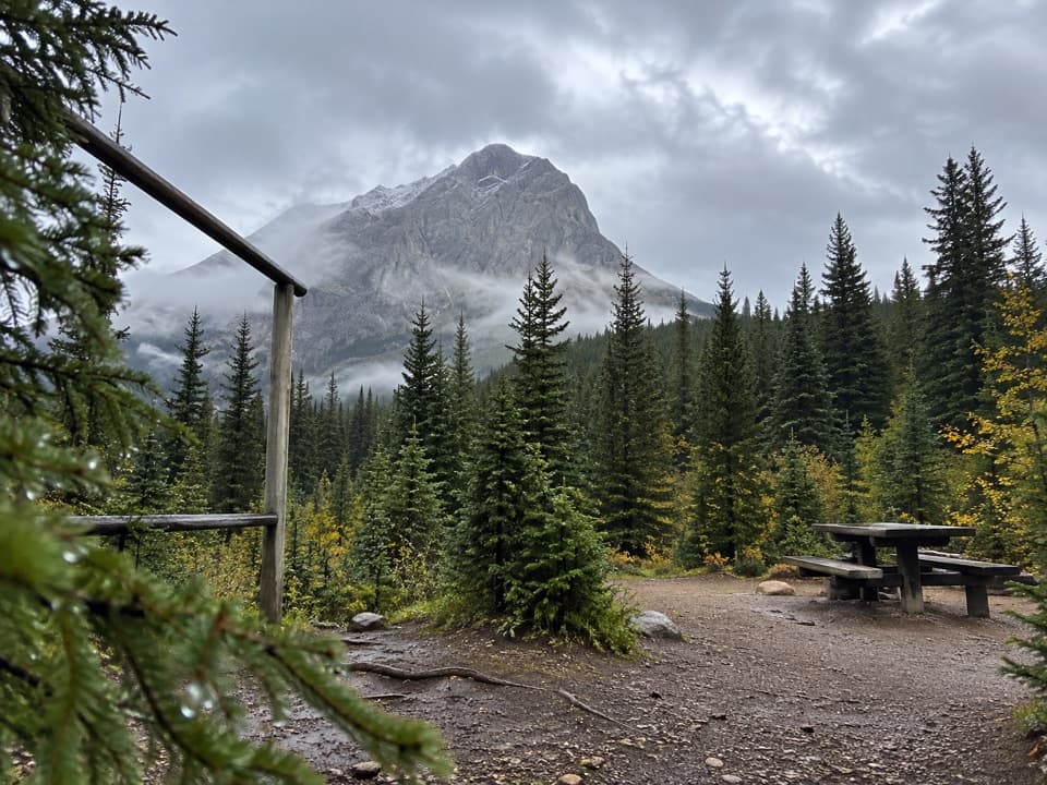
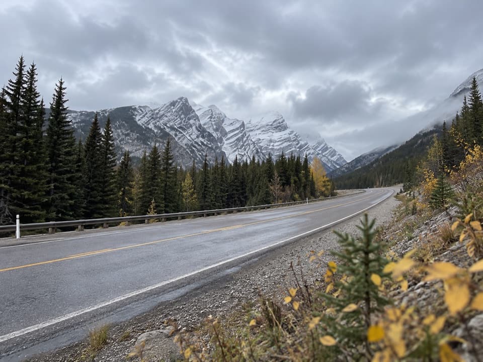
“Sawmill Day Use Area is coming up, with picnic tables and benches looking toward Mount Murray and Kent Ridge. I'd stop for a short break and the view; you don't need to take on a hike.”

Plays as you drive up to this trailhead in the Parkwolf Peter Lougheed Tour Guide.

More stories near here in the app

  • A Jay That Glues Its Groceries
  • The Pine That Waits for Fire
  • A Pika's Winter Pantry
  • The Woodpecker That Peels Bark
  • 41 audio storiesacross Peter Lougheed’s roads, triggered by GPS as you drive
  • Wildlife heatmapsfor Grizzly Bear, Canada Lynx, Black Bear, and 13 more
  • Works offlinemaps, 66 trails, 41 places, and audio download before you lose signal
  • CarPlay readysimple controls built for the drive
★★★★★
“Fantastic app with many points of information… It’s great to just turn on while you’re driving and it gives you an audio tour of the national Park. We love it!!!!”
JMJamesApp Store review
Download Parkwolf on the App StoreGet Parkwolf on Google Play

4.7 from 8,600+ ratings

Trail guide

Hiking Kent Ridge North Summit

The North Kent loopKent Ridge North Summit is a roughly 5-mile loop from Sawmill Day Use Area to the 2,923-metre…

Kent Ridge North Summit is a roughly 5-mile loop from Sawmill Day Use Area to the 2,923-metre high point of Kent Ridge. The route climbs from old logging roads through an open meadow to a steep, loose gully and long scree slope, then returns over West Outlier’s south ridge and another old road. It’s an informal scramble with no maintained or signed trail. This is the North summit, not the shorter Mount Kent hike from the same access.

The lower approachStart north of the graded road behind the washroom and take the left branch just beyond the…

Start north of the graded road behind the washroom and take the left branch just beyond the metal gate. The route winds through old logging roads, then a faint side path to the overgrown road and meadow. Turns are easy to miss; don’t assume a worn path continues straight. The tread fades at the meadow, so keep the gully and summit line in view.

The summit climbCross the meadow toward the north fork gully.

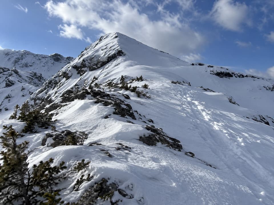
Cross the meadow toward the north fork gully. On the recorded line, hikers stayed high on its right edge for firmer footing, then climbed open rubble to the summit. The hard part is the sustained climb and loose footing rather than technical climbing: roughly 1,100 metres of ascent, with a long scree slope near the top. Allow about 8 hours. This suits experienced hikers who are comfortable navigating faint terrain and loose slopes; casual day walkers should choose another hike.

Return over West OutlierFrom the summit, follow the recorded line toward West Outlier and descend its south ridge to…

From the summit, follow the recorded line toward West Outlier and descend its south ridge to the old road back to Sawmill. That makes the full loop and avoids descending the loose ascent gully, but adds a short climb along the ridge. Keep dogs leashed under park rules. Because this isn’t a maintained park trail, confirm current access before setting out.

Wildlife

Wildlife in Peter Lougheed

All Peter Lougheed wildlife maps

Sighting maps show where each species has been reported across Peter Lougheed. Wildlife moves, so no sighting is guaranteed.

Keep exploring

Near Kent Ridge North Summit

See it all on the map

Trails that start nearby

Places near the trailhead

Parkwolf’s Peter Lougheed ranking

Top-rated trails in Peter Lougheed

All 66 trails
  1. 1Rawson Lake TrailModerate · 7.8 km
  2. 2Ptarmigan Cirque Interpretive TrailModerate · 4.5 km
  3. 3Burstall Pass TrailChallenging · 14.8 km
  4. 4Chester Lake TrailModerate · 9.2 km
  5. 5Upper Kananaskis Lake LoopModerate · 15.7 km
  6. 6Sarrail Ridge via Rawson LakeChallenging · 11.7 km

Take Parkwolf to Peter Lougheed.

The audio tour guide for the drive, plus offline maps, trails, and wildlife heatmaps for when the signal drops.

4.7 from 8,600+ ratings

Download Parkwolf on the App StoreGet Parkwolf on Google Play