Parking
Start at the Highwood Meadows Day Use lot on Highway 40; pit/vault toilets are listed there. A Kananaskis Conservation Pass is required for parked vehicles. Highway 40 over Highwood Pass closes annually December 1 through June 14 inclusive.

Peter Lougheed Provincial Park, AB
A tarn breaks up the climb to a pass above the cirques.
Overview
Map & elevation
Plan your hike

The highest, rockiest slopes around here are a summer buffet for grizzly bears.
Peter Lougheed Tour Guide
Parkwolf is a GPS audio tour guide for Peter Lougheed Provincial Park. As you drive, it chimes in with what’s ahead: hidden gems, upcoming stops, history, geology, and wildlife, right through your car’s speakers.
See the Peter Lougheed audio tourRecorded for this trailhead
Highwood Pass and the Meadow Walk“Up ahead is Highwood Pass, on Canada's highest paved road. The mountain view starts at the parking area, so this is a stop I'd keep even if you're skipping the big hikes.”
Plays as you drive up to this trailhead in the Parkwolf Peter Lougheed Tour Guide.
More stories near here in the app
“Fantastic app with many points of information… It’s great to just turn on while you’re driving and it gives you an audio tour of the national Park. We love it!!!!”


Trail guide
Little Highwood Pass is a rough 9 km (5.6 mi) out-and-back from Highwood Meadows Day Use to a high saddle at about 2,550 m. Allow around four hours. The route runs through Pocaterra Cirque, passes a small tarn, then climbs to the pass for broad views toward Pocaterra Ridge, Tyrwhitt Cirque and Grizzly Col. The 4.5 km figure is one way to the saddle; turn around there and retrace the same route.
Start on the established Highwood Meadows path and stay on it through the fragile alpine meadow rather than cutting across it. Beyond the large boulder, the route climbs through trees, drops across an avalanche path to a small creek, then rises west into the cirque. Skirt the tarn and follow the grassy strip beside talus to find the northbound line to the pass. The trail becomes faint away from the established path, so route-finding is part of the hike.
The last approach crosses rough grass, talus and snow patches; the snow can change what the tread looks like. At the saddle, Pocaterra Creek drops northwest and Pocaterra Ridge stands to the east. Look south across Pocaterra and Tyrwhitt cirques toward Grizzly Col. This is the natural place to pause for a wide photo that shows the pass and the cirques; then return the way you came.
Use the Highwood Meadows Day Use lot on Highway 40; pit/vault toilets are listed there. A Kananaskis Conservation Pass is required for vehicles parked in the area. Highway 40 over Highwood Pass closes annually from December 1 through June 14 inclusive, so check the road status before planning the drive. Dogs are allowed on leash. No dependable water source is documented along the route.
Wildlife
 132 sightingsGrizzly BearMost seen around 8 PMSighting map
 17 sightingsCanada LynxMost seen around 8 PMSighting map
 30 sightingsBlack BearMost seen around 6 AMSighting map
 69 sightingsMooseMost seen around 5 PMSighting map
 176 sightingsBighorn SheepMost seen around 6 PMSighting map
 19 sightingsBald EagleMost seen around 8 AMSighting map
Sighting maps show where each species has been reported across Peter Lougheed. Wildlife moves, so no sighting is guaranteed.
Keep exploring
 ModeratePtarmigan Cirque Interpretive Trail4.5 km · 1.5 hr · At the trailheadA steep climb to a flowered alpine bowl below Mount Rae.
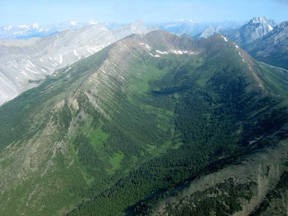 ModerateGrizzly Ridge Trail9.7 km · 5.3 hr · At the trailheadLarches, a mountain tarn and a short scramble open onto wide views.
 ChallengingHighwood Ridge Trail12.5 km · 4.5 hr · At the trailheadA steep scramble across two peaks above Highwood Pass.
 EasyHighwood Meadows Trail1.2 km · 30 min · At the trailheadA barrier-free boardwalk through a fragile alpine meadow at 2,200 m.
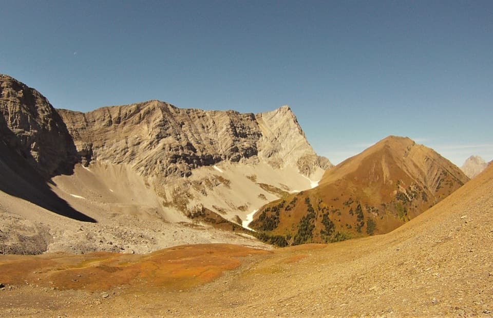 ModerateGrizzly Col Trail9 km · 4 hr · At the trailheadA rugged climb through Pocaterra Cirque to the saddle below Grizzly Ridge
 ChallengingLittle Arethusa Trail7.9 km · 5 hr · 1.2 km awayA steep scree climb ends on a tiny exposed summit ridge.
 ModerateArethusa Cirque Trail3.9 km · 2.5 hr · 1.2 km awayA braided alpine loop with larches, creek crossings, and cirque views.
 EasyElbow Lake Trail2.8 km · 1.5 hr · 5.1 km awayA steep old road climbs to an alpine lake.Sight · At the trailheadHighwood Pass Day UseAlpine meadow and jagged peaks, reached on a 1.2 km boardwalk.
 Sight · 2.5 km awayRock Glacier Day Use AreaA short stop for a rockslide, alpine views, and pikas.
 Campground · 5 km awayElbow Lake Backcountry CampgroundA short uphill carry opens onto a lakeside backcountry camp.Sight · 5.2 km awayElbow LakeA short, steep climb opens onto an emerald alpine lake.
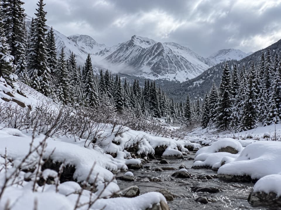 Sight · 6.5 km awayLittle Highwood Pass Day Use AreaA roadside pause for Highwood Pass scenery and Pocaterra Ridge access.
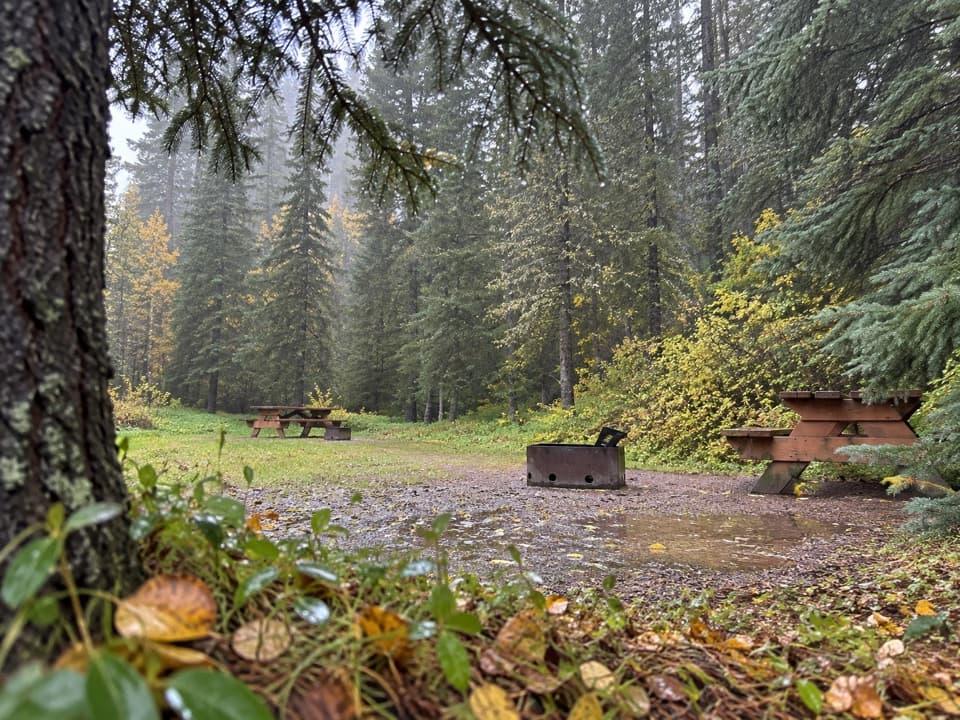 Campground · 9.2 km awayBoulton Creek CampgroundA wooded base camp with walk-in tents and full RV hookups.
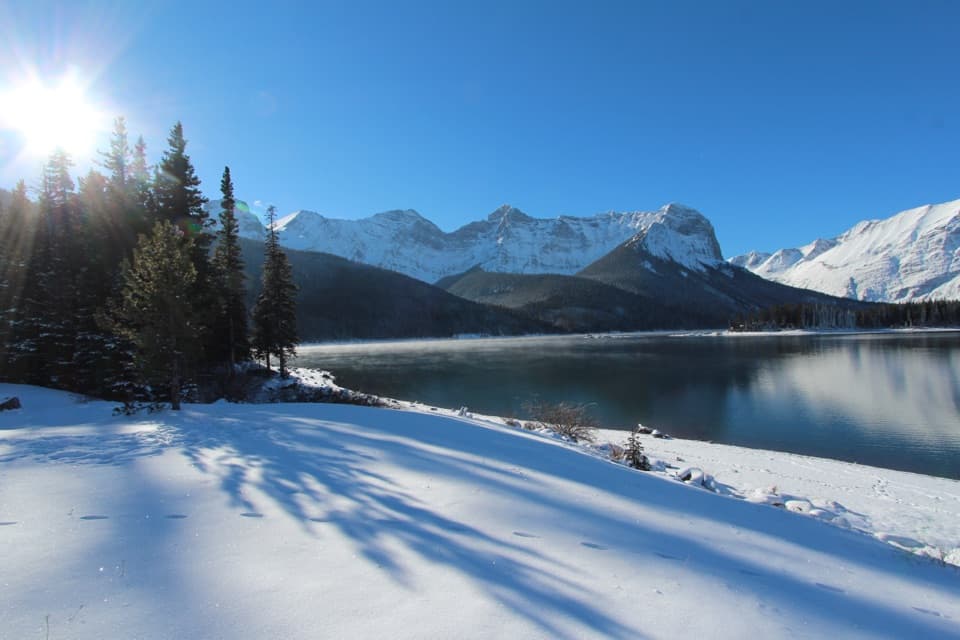 Picnic area · 9.5 km awayUpper Lake Day Use AreaA rocky lakeshore picnic, with two major trail starts.
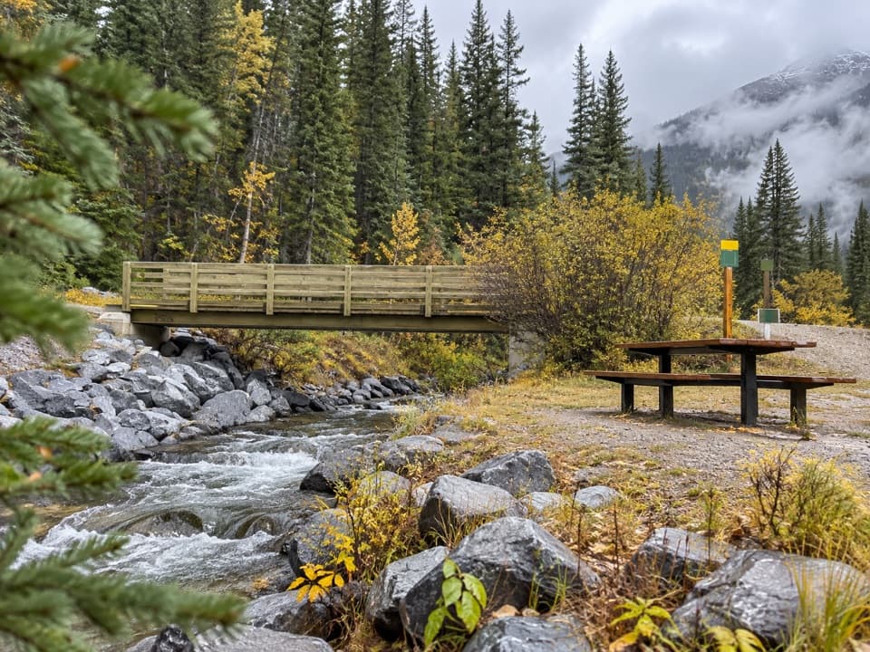 Picnic area · 9.6 km awayBoulton Bridge Day Use AreaA creekside picnic stop with an almost 5 km trail nearby
Parkwolf’s Peter Lougheed ranking

The audio tour guide for the drive, plus offline maps, trails, and wildlife heatmaps for when the signal drops.




