Parking
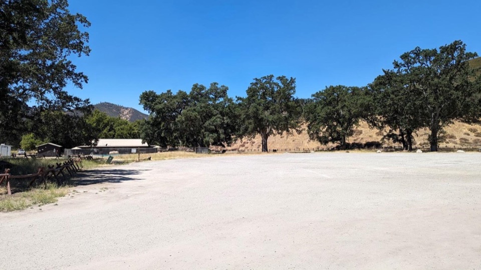
Start at Peaks View Picnic Area on the east side. NPS lists a paved lot with 43 spaces, including accessible spaces, plus an accessible vault restroom, picnic tables, a water station, and spotting scopes. The park entrance fee applies.
Pinnacles National Park, CA
Oak shade and High Peaks views on a gentle accessible walk.
Overview
Map & elevation
Plan your hike

The highest, rockiest slopes around here are a summer buffet for grizzly bears.
Pinnacles Tour Guide
Parkwolf is a GPS audio tour guide for Pinnacles National Park. As you drive, it chimes in with what’s ahead: hidden gems, upcoming stops, history, geology, and wildlife, right through your car’s speakers.
Recorded for this trailhead
Peaks View Picnic Stop“Peaks View Parking Area is coming up, a handy picnic stop with a modest view of the formations. The spotting scopes beside the bench give you a closer look.”
Plays as you drive up to this trailhead in the Parkwolf Pinnacles Tour Guide.
More stories near here in the app
“Fantastic app with many points of information… It’s great to just turn on while you’re driving and it gives you an audio tour of the national Park. We love it!!!!”


Trail guide
This is a gently rolling out-and-back on the accessible section of Bench Trail. From Peaks View Picnic Area, the mapped stretch to the nearby trail continuation is about 0.4 mile; walk it back for about 0.8 mile total. Allow roughly 30 to 45 minutes. It’s an easy way to get into Pinnacles’ oak woodland without taking on a long hike.
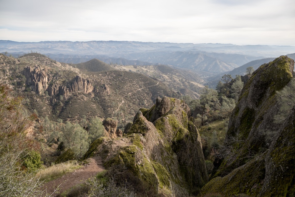
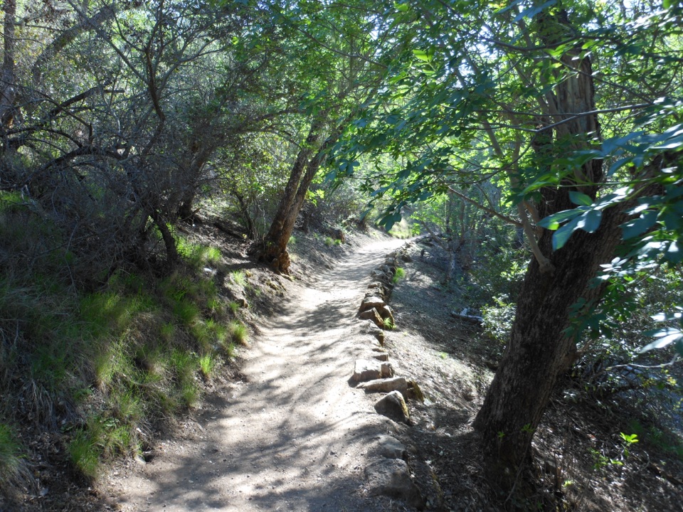
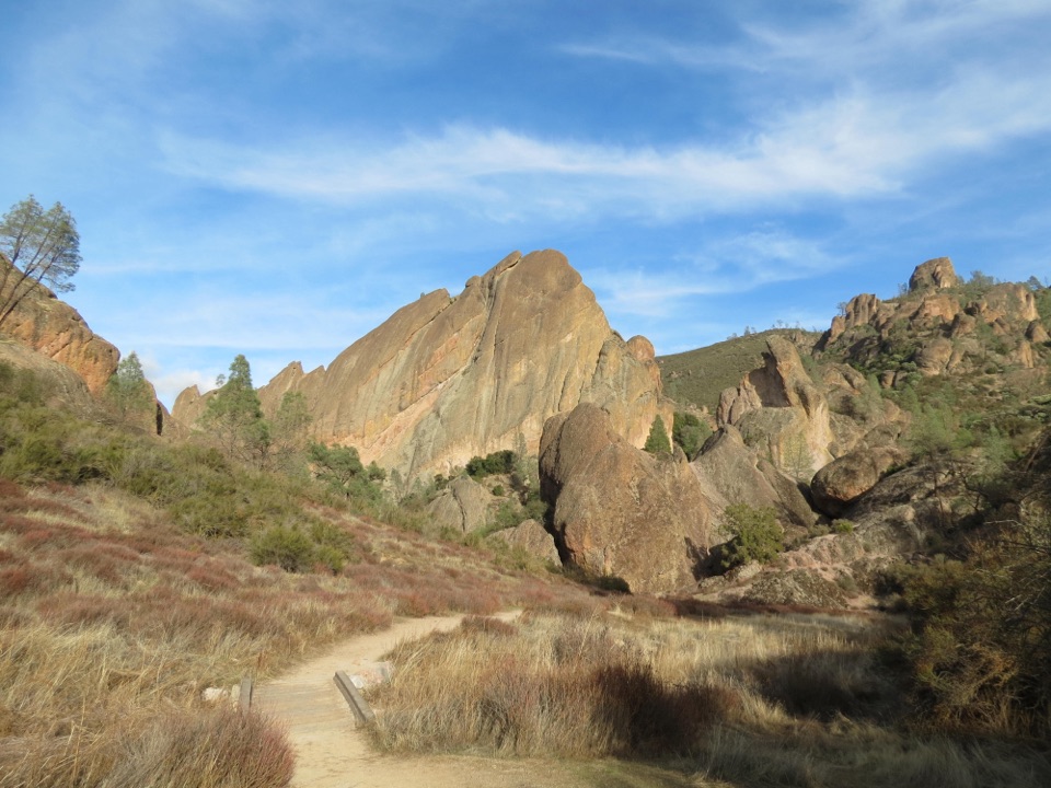
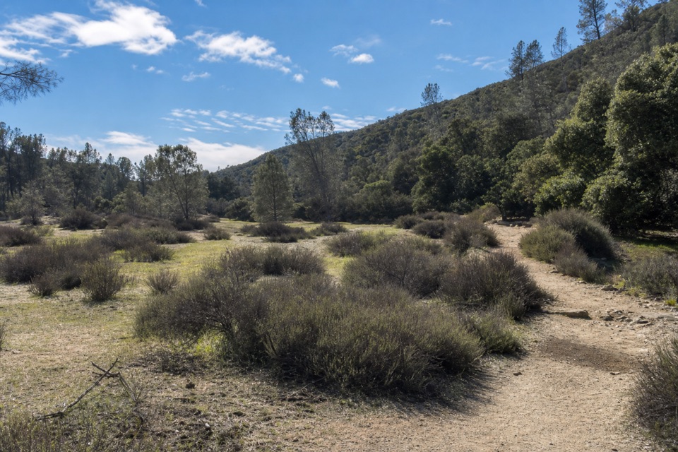
The path passes through oak woodland, with views toward the High Peaks rock formation. The park describes the accessible section as recently hardened and graded, and gently rolling. When the rocks come into view, frame them with the oaks and a little trail foreground so the setting still reads as a walk, not just a distant ridge.
Peaks View has accessible parking, an accessible vault restroom, picnic tables, a water station, and spotting scopes. The park map marks wheelchair-accessible Bench Trail segments of 0.6 and 0.7 mile near this area, but the accessibility page doesn’t say exactly which mapped endpoints match the recently hardened section or how far that treatment continues. If you need a specific grade, cross-slope, or surface clearance, confirm the route with the park before setting out. Pets aren’t allowed on park trails; fill up at the trailhead, since water isn’t available on most trails.
Wildlife
 47 sightingsCalifornia CondorMost seen around 1 PMSighting map
 26 sightingsMule DeerMost seen around 6 PMSighting map
 19 sightingsChipmunkMost seen around 7 AMSighting map
 33 sightingsTurkey VultureMost seen around noonSighting map
 26 sightingsAcorn WoodpeckerMost seen around 8 AMSighting map
 16 sightingsSteller's JayMost seen around 8 AMSighting map
Sighting maps show where each species has been reported across Pinnacles. Wildlife moves, so no sighting is guaranteed.
Keep exploring
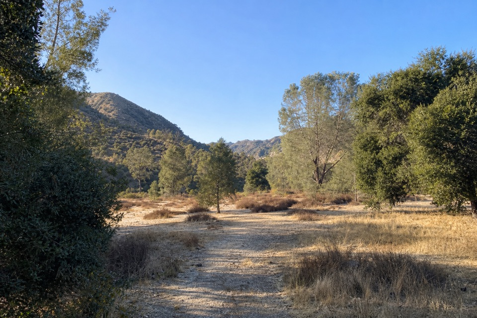 ModerateSycamore Trail1 mi · 45 min · 0.3 mi awayA gentle creekside mile between Peaks View and Bear Gulch.
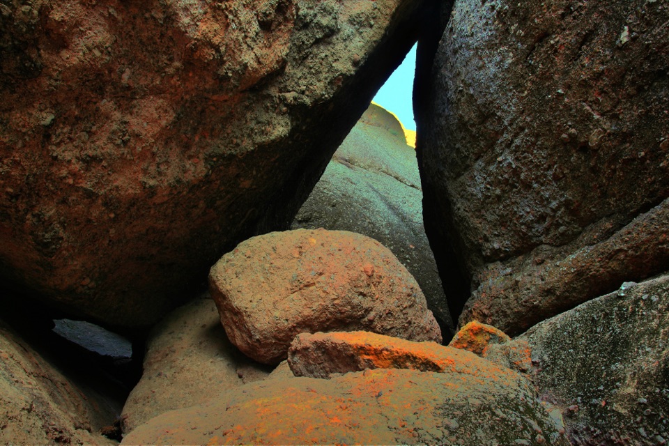 ModerateCampground to Balconies Cave9.4 mi · 5 hr · 0.7 mi awayA sunny creek walk to a talus cave and a cliffside return.
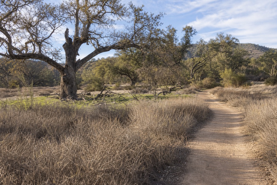 ModerateCampground to South Wilderness Trail5.8 mi · 3.5 hr · 0.7 mi awayA mellow oak-valley walk on a faint, unmaintained creekside trail.
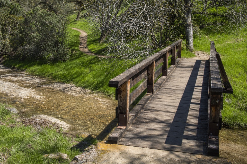 ModerateCampground to Bear Gulch Day Use Area2.3 mi · 1.5 hr · 0.7 mi awayA moderate one-way walk follows two creeks to Bear Gulch.
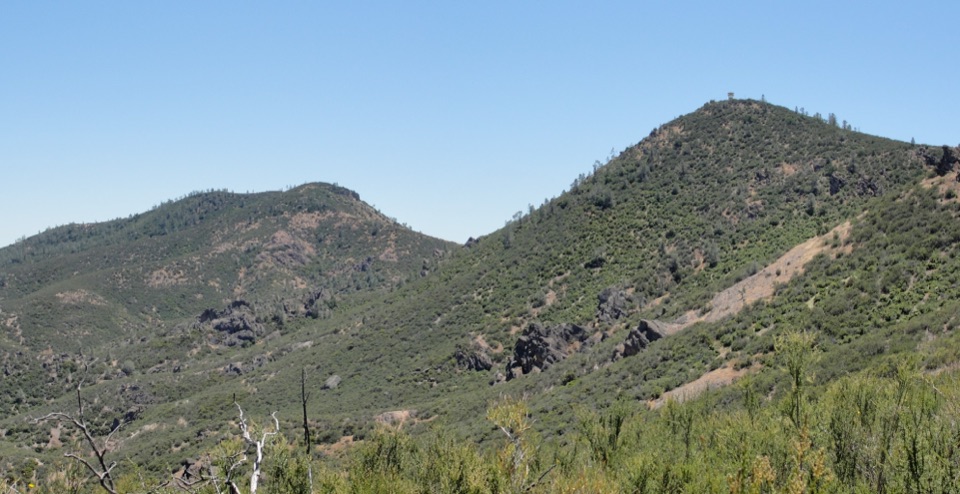 ChallengingChalone Peak Trail9 mi · 5 hr · 1 mi awayAn exposed climb to the park’s high point and a closed lookout.
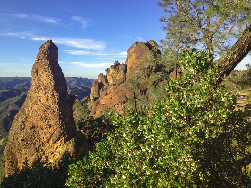 ChallengingHigh Peaks Trail to Old Pinnacles Trail to Condor Gulch Trail Loop12.6 mi · 7.5 hr · 1.1 mi awayA full-day circuit through caves, High Peaks spires, and wild ridges.
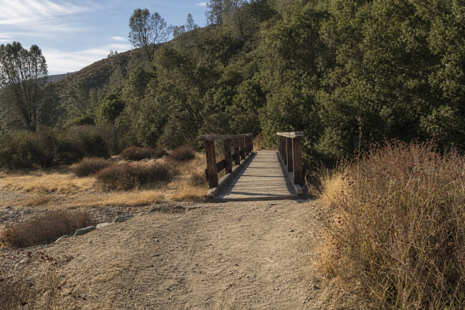 ModerateBlue Oak Trail5.3 mi · 3.5 hr · 1.1 mi awayOak and tall grass give way to the High Peaks.
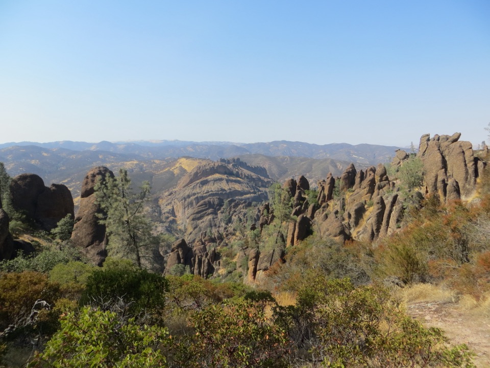 ChallengingHigh Peaks to Balconies Cave Loop8.9 mi · 5 hr · 1.1 mi awayA steep loop through Pinnacles' spires and a dark talus cave.
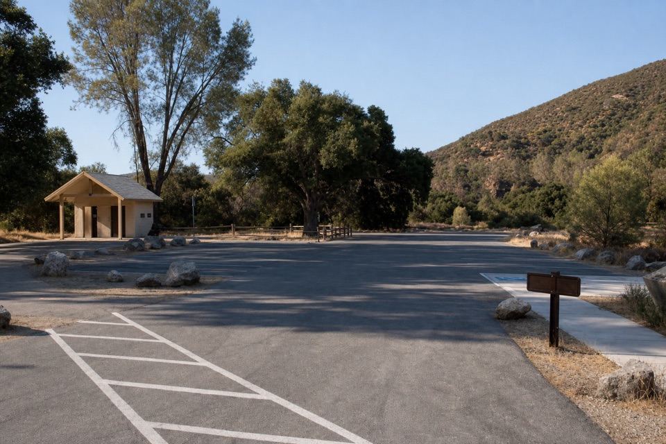 Sight · At the trailheadPeaks View Parking AreaPicnic tables and trail access beside a low-key peaks view
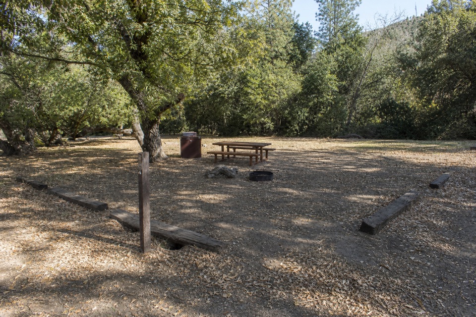 Campground · 0.9 mi awayPinnacles CampgroundA practical basecamp with the Bench Trail at your doorstep.
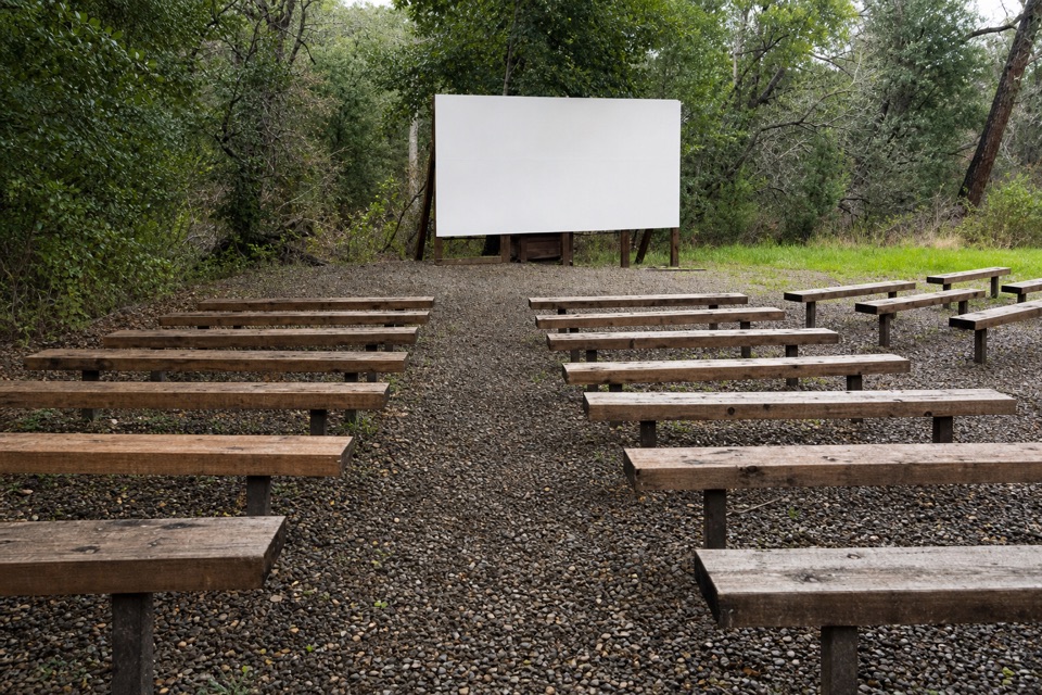 Sight · 1 mi awayPinnacles AmphitheaterA seasonal ranger talk is an easy evening extra.
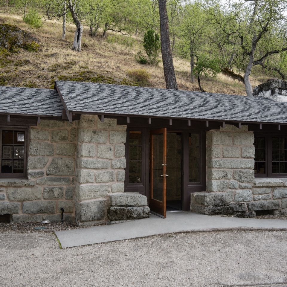 Visitor center · 1.1 mi awayBear Gulch Nature CenterA compact ranger stop before Bear Gulch trails
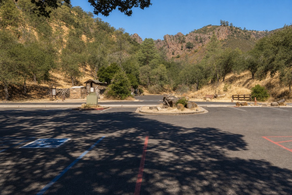 Sight · 1.1 mi awayBear Gulch Day Use AreaPark once for east-side trails and a rocky-hills view.
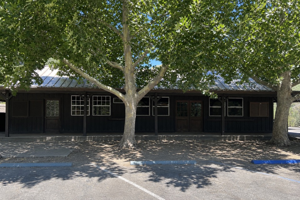 Store · 1.2 mi awayPinnacles Campground StoreA quick campground resupply stop for basics and firewood.
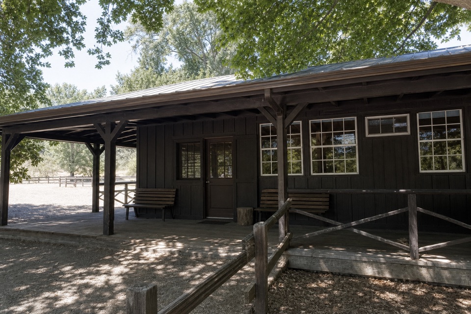 Store · 1.2 mi awayEast Pinnacles Park StoreAn east-side stop for park books, gifts and a passport stamp.
 Picnic area · 1.2 mi awayPinnacles Campground Day Use AreaAn oak-shaded picnic stop behind the east-side campground pool.
Parkwolf’s Pinnacles ranking

The audio tour guide for the drive, plus offline maps, trails, and wildlife heatmaps for when the signal drops.