Parking
Start at Old Pinnacles Parking Area at the end of the park road on the east side. The trail returns to this lot; the east and west road entrances are not connected across the park.
Pinnacles National Park, CA
A steep loop through Pinnacles' spires and a dark talus cave.
Overview
Map & elevation
Plan your hike

The highest, rockiest slopes around here are a summer buffet for grizzly bears.
Pinnacles Tour Guide
Parkwolf is a GPS audio tour guide for Pinnacles National Park. As you drive, it chimes in with what’s ahead: hidden gems, upcoming stops, history, geology, and wildlife, right through your car’s speakers.
Recorded for this trailhead
Old Pinnacles and Machete Ridge“Old Pinnacles Trailhead is coming up, the east-side start for the walk beneath Machete Ridge to Balconies Cave. The moderate cave-and-cliffs outing is about five and a half miles and takes three to five hours.”
Plays as you drive up to this trailhead in the Parkwolf Pinnacles Tour Guide.
More stories near here in the app
“Fantastic app with many points of information… It’s great to just turn on while you’re driving and it gives you an audio tour of the national Park. We love it!!!!”


Trail guide
High Peaks to Balconies Cave Loop is an 8.9-mile clockwise circuit from Old Pinnacles Trailhead: take the Bench connector to High Peaks, cross the rocky ridge, descend Juniper Canyon, pass through Balconies Cave, then return on Old Pinnacles Trail. Published figures run from 8.4 to 9 miles; this mapped east-start route measures about 8.9. Allow four to five hours, plus stops. It is strenuous, but this is the route to choose if you want the High Peaks spires and the Balconies cave in one outing.
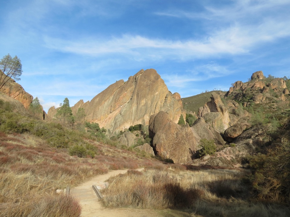
From the road-end parking area, follow Old Pinnacles Trail north beside a wide, sandy canyon. After about a quarter mile, turn left at the first junction onto Bench Trail; the easy trail continuing right is your return later. Cross a wooden footbridge, then walk about half a mile to High Peaks Trail. The route is clear at this junction, but it is easy to miss if you keep following the canyon.
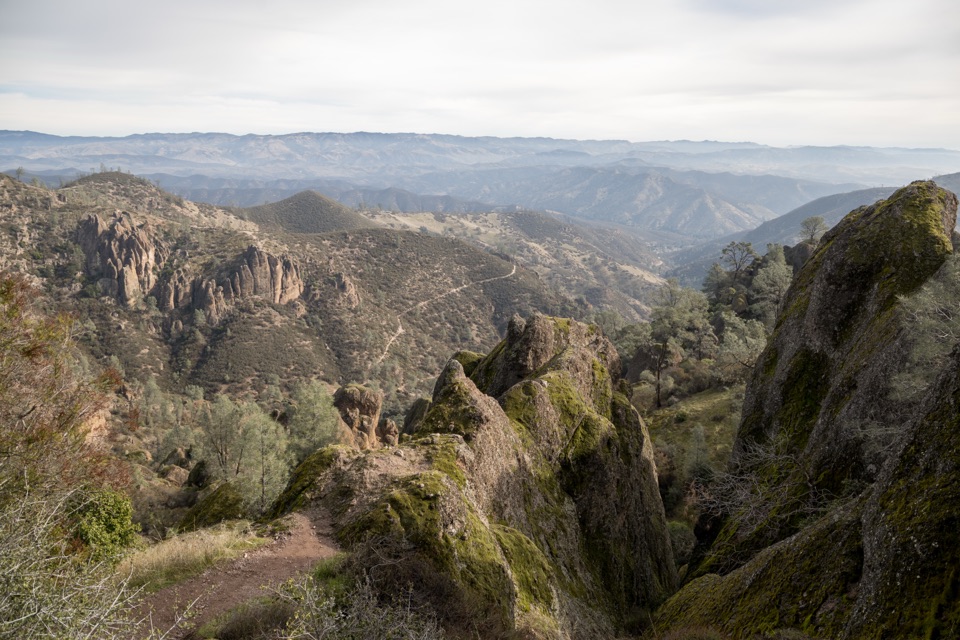
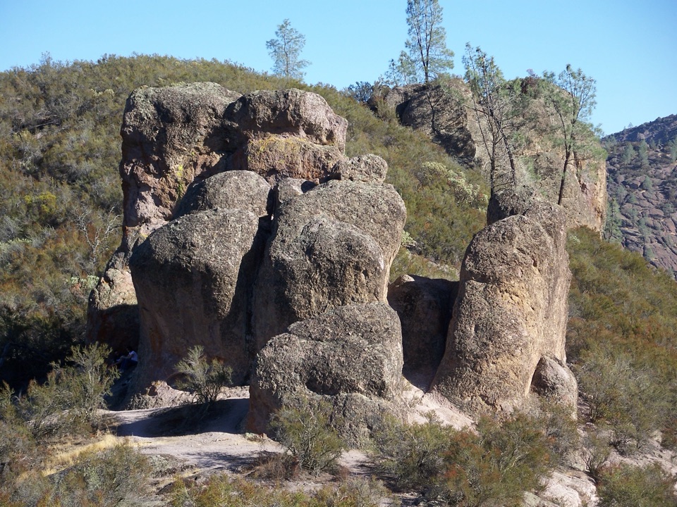
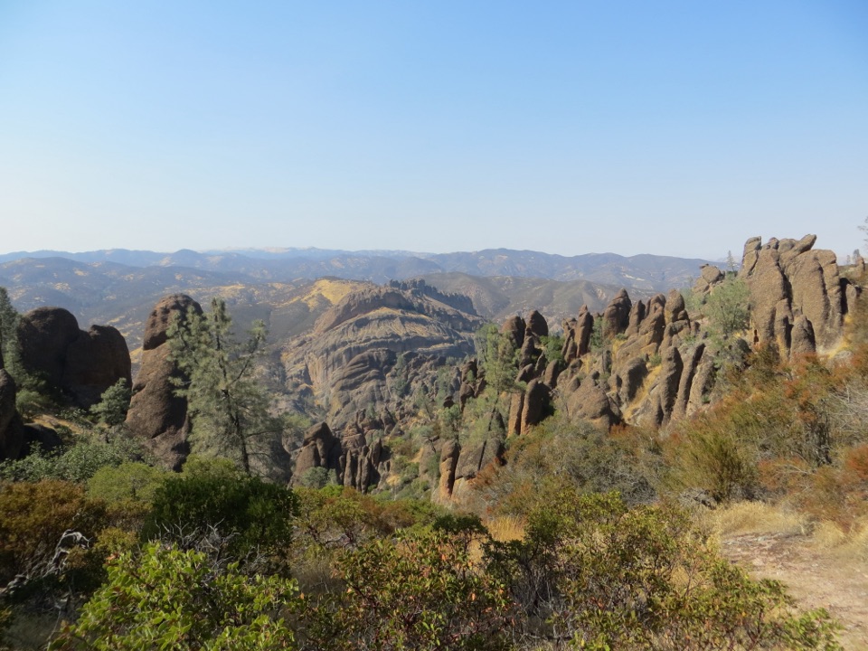
High Peaks climbs steadily. The first 1.25 miles of High Peaks Trail gains roughly 875 feet before it reaches a bluff with wide views over the eastern canyons and ridges. The grade eases as the path rolls over ridgelines; stay right at the Condor Gulch junction. Then you enter the rock spires. The Steep and Narrow section squeezes between boulders, with steep steps cut into the rock, railings and short wooden walkways. It is much more exciting than a smooth ridge walk, and it asks for steady footing. California condors sometimes circle over the pinnacles, though sightings are never guaranteed. For a photo, frame the jagged High Peaks in front of the Balconies Cliffs rather than pointing straight across the valley; that view shows what makes this ridge special.
At the west end of High Peaks, turn right onto Juniper Canyon Trail. It drops about 1,025 feet over 1.8 miles. The upper trail is steep, with loose patches between the switchbacks; lower down, the canyon opens into a shaded evergreen grove. Look across toward Resurrection Wall before the trail reaches the west-side Chaparral parking area. This is the steep work of the loop, even though the walk to the cave is mostly downhill after it.
Cross the Chaparral parking area and continue on Balconies Trail. After about 0.6 mile, stay on the lower cave route at the Balconies Cliffs split. The canyon walls close in before the dark talus cave, where fallen boulders roof a fractured canyon. The passage has narrow gaps and rough boulder steps; bring a flashlight or headlamp. The cave can close when storms or high water make it unsafe, so check the gate before setting out. If it is closed, the Cliffs Trail bypass rejoins beyond the cave.
After the cave, stay right onto Old Pinnacles Trail for about 2.1 miles. This last stretch follows the sandy canyon bottom, mostly gently downhill, with occasional shade from pines and brush. At the Bench junction, keep left to walk the final quarter mile back to Old Pinnacles Trailhead. If you want just a shorter cave trip, the separate Balconies Cliffs-Cave Loop from Chaparral is about 2.4 miles.
The High Peaks climb is long and sunny, and Pinnacles can get very hot. Carry plenty of water; the park recommends at least a liter per person per hour. Pets are not allowed on park trails, though service animals are permitted. The east and west road entrances are not connected across the park, so start at Old Pinnacles if you want the loop to return to the same car.
Wildlife
 47 sightingsCalifornia CondorMost seen around 1 PMSighting map
 26 sightingsMule DeerMost seen around 6 PMSighting map
 19 sightingsChipmunkMost seen around 7 AMSighting map
 33 sightingsTurkey VultureMost seen around noonSighting map
 26 sightingsAcorn WoodpeckerMost seen around 8 AMSighting map
 16 sightingsSteller's JayMost seen around 8 AMSighting map
Sighting maps show where each species has been reported across Pinnacles. Wildlife moves, so no sighting is guaranteed.
Keep exploring
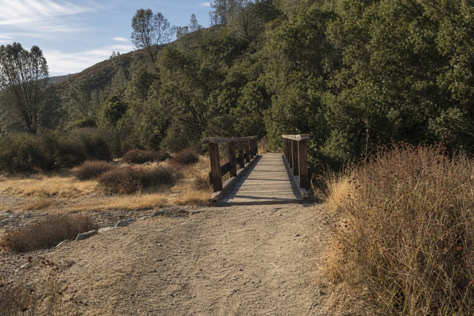 ModerateBlue Oak Trail5.3 mi · 3.5 hr · At the trailheadOak and tall grass give way to the High Peaks.
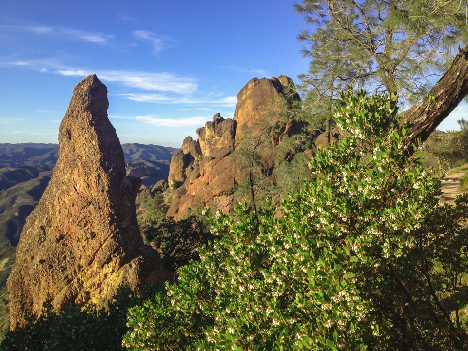 ChallengingHigh Peaks Trail to Old Pinnacles Trail to Condor Gulch Trail Loop12.6 mi · 7.5 hr · At the trailheadA full-day circuit through caves, High Peaks spires, and wild ridges.
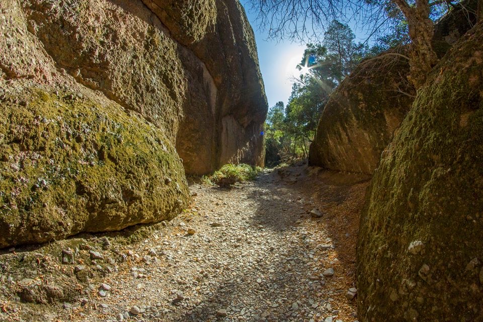 ModerateOld Pinnacles Trail to Balconies Cave5.4 mi · 3.5 hr · At the trailheadA cave passage and cliffside loop beneath Machete Ridge.
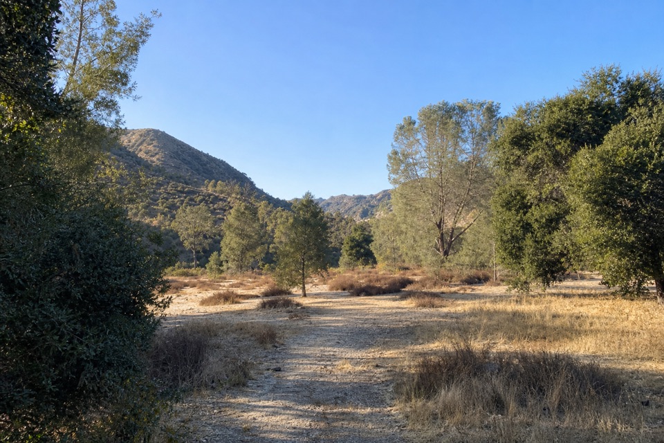 ModerateSycamore Trail1 mi · 45 min · 0.8 mi awayA gentle creekside mile between Peaks View and Bear Gulch.
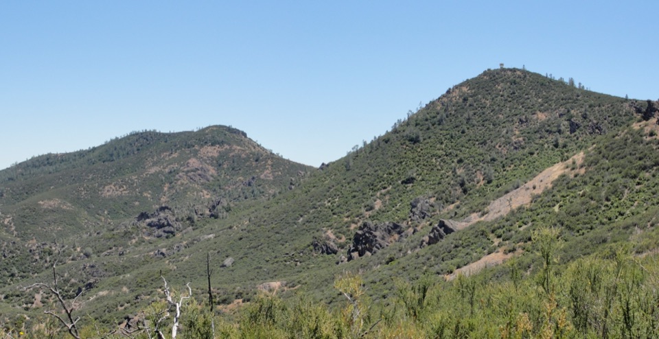 ChallengingChalone Peak Trail9 mi · 5 hr · 1 mi awayAn exposed climb to the park’s high point and a closed lookout.
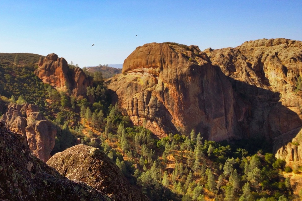 ModerateCondor Gulch Trail to Overlook2 mi · 1.8 hr · 1 mi awayA steady mile leads to a rocky overlook into Condor Gulch.
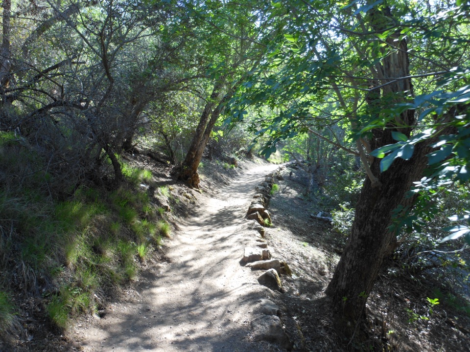 ModerateMoses Spring to Rim Trail Loop2.2 mi · 1.5 hr · 1.1 mi awayA short loop linking Bear Gulch’s cave, reservoir, and rim.
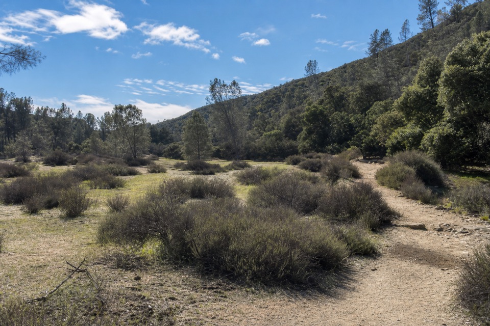 EasyBench Trail Accessible Section0.8 mi · 30 min · 1.1 mi awayOak shade and High Peaks views on a gentle accessible walk.
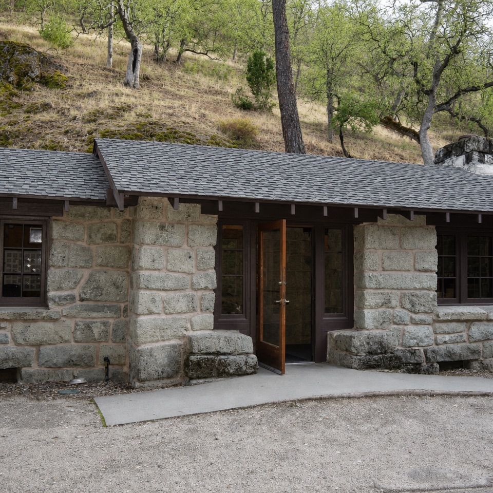 Visitor center · 1 mi awayBear Gulch Nature CenterA compact ranger stop before Bear Gulch trails
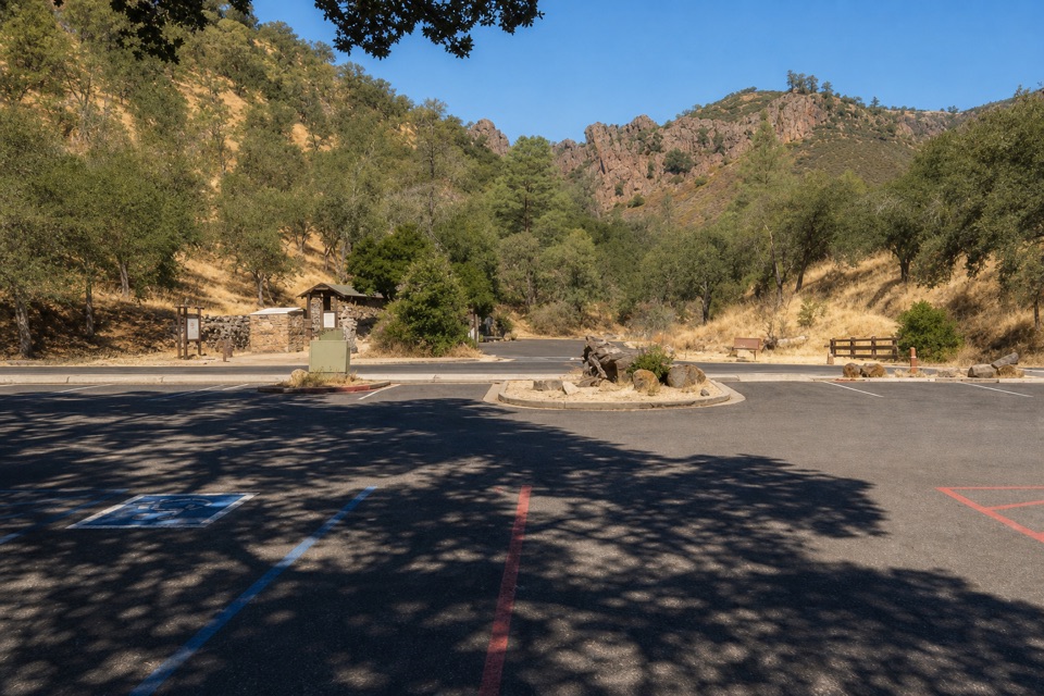 Sight · 1 mi awayBear Gulch Day Use AreaPark once for east-side trails and a rocky-hills view.
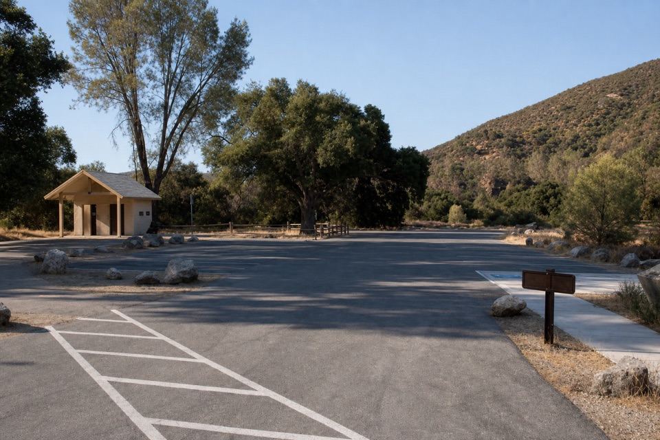 Sight · 1.1 mi awayPeaks View Parking AreaPicnic tables and trail access beside a low-key peaks view
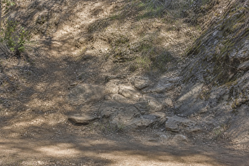 Picnic area · 1.2 mi awayBear Gulch Picnic AreaA small picnic grove between Moses Spring and Bear Gulch Day Use.
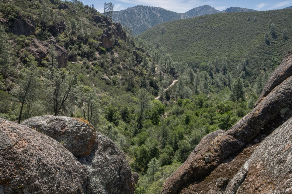 Sight · 1.3 mi awayCondor Gulch OverlookA worthwhile rocky pause before the tougher High Peaks climb.
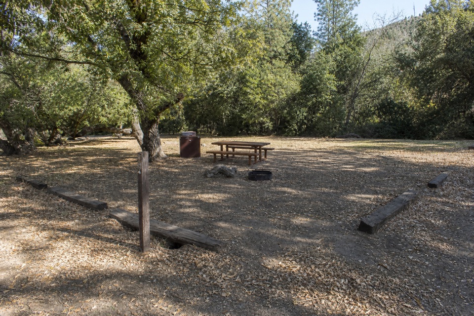 Campground · 1.4 mi awayPinnacles CampgroundA practical basecamp with the Bench Trail at your doorstep.
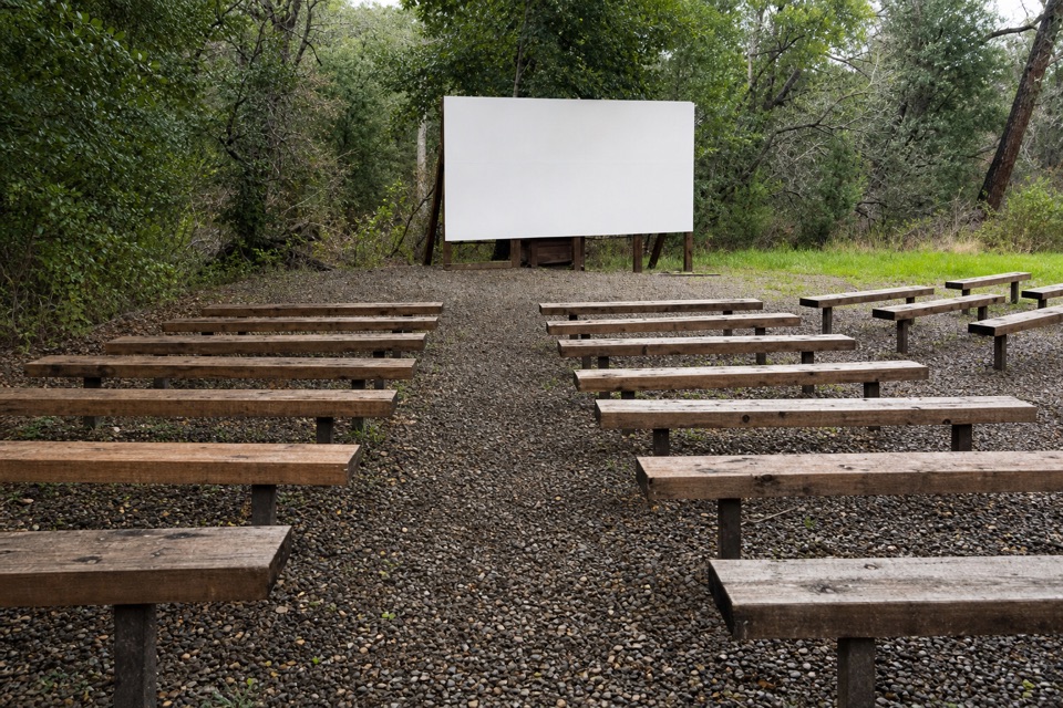 Sight · 1.4 mi awayPinnacles AmphitheaterA seasonal ranger talk is an easy evening extra.
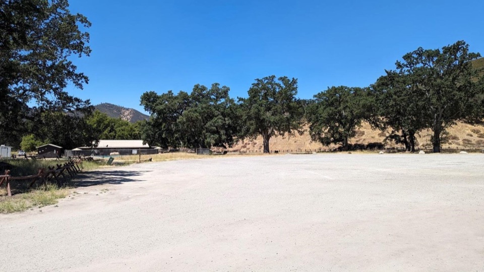 Picnic area · 1.5 mi awayPinnacles Campground Day Use AreaAn oak-shaded picnic stop behind the east-side campground pool.
Parkwolf’s Pinnacles ranking

The audio tour guide for the drive, plus offline maps, trails, and wildlife heatmaps for when the signal drops.