Parking
Start at Old Pinnacles Parking Area on the east side of the park. NPS lists 21 spaces; park lots can fill early on busy weekends and holidays.
Pinnacles National Park, CA
A full-day circuit through caves, High Peaks spires, and wild ridges.
Overview
Map & elevation
Plan your hike

The highest, rockiest slopes around here are a summer buffet for grizzly bears.
Pinnacles Tour Guide
Parkwolf is a GPS audio tour guide for Pinnacles National Park. As you drive, it chimes in with what’s ahead: hidden gems, upcoming stops, history, geology, and wildlife, right through your car’s speakers.
Recorded for this trailhead
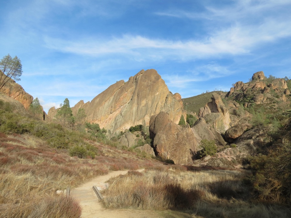
Old Pinnacles and Machete Ridge“Old Pinnacles Trailhead is coming up, the east-side start for the walk beneath Machete Ridge to Balconies Cave. The moderate cave-and-cliffs outing is about five and a half miles and takes three to five hours.”
Plays as you drive up to this trailhead in the Parkwolf Pinnacles Tour Guide.
More stories near here in the app
“Fantastic app with many points of information… It’s great to just turn on while you’re driving and it gives you an audio tour of the national Park. We love it!!!!”


Trail guide
High Peaks Trail to Old Pinnacles Trail to Condor Gulch Trail Loop is a 12.6-mile loop from Old Pinnacles Parking Area. It strings together Blue Oak and Condor Gulch, Bear Gulch Cave and Reservoir, the Rim and High Peaks trails, then Tunnel, Juniper Canyon, Balconies Cave, and Old Pinnacles on the way back. It’s a full-day circuit through the park’s spires and caves, with long climbs and exposed ridge walking. Allow about 7–8 hours for the route, cave passages, and view stops. Matching route estimates vary: the mapped line is 12.6 miles, and another version reports 13.4, so follow the saved line at junctions instead of relying on a rounded headline.
From the east-side lot, the route heads west on Blue Oak to Condor Gulch, drops toward Bear Gulch and its reservoir, then uses Rim Trail to reach High Peaks. It crosses the rocky ridge, descends on Tunnel and Juniper Canyon, goes through Balconies Cave, and returns east on Old Pinnacles. This is a visitor-made itinerary across several public trails, not one separately signed loop. Save the complete route map and watch the trail names at each junction.
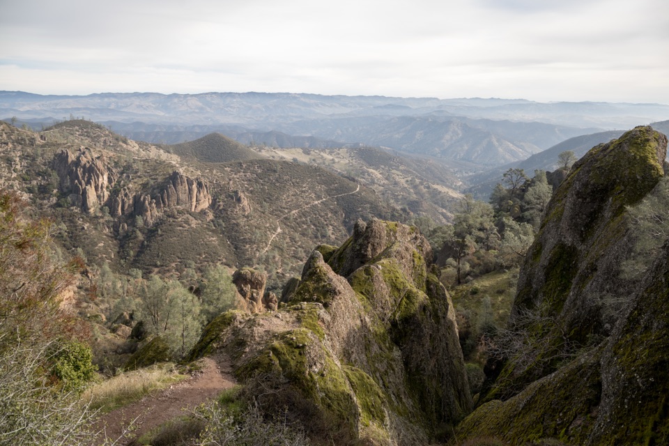
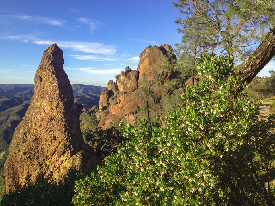
Condor Gulch climbs to an overlook facing the High Peaks. The route continues into the steepest terrain at the Steep and Narrow section, where the path squeezes between volcanic spires and uses rock-cut steps and occasional rails. Take your time on this narrow, exposed ridge; the best views come with a real commitment to uneven footing and climbing. If you want the spires without the full circuit, the shorter Condor Gulch–High Peaks loop from Bear Gulch is a much smaller day.
This itinerary includes both Bear Gulch Cave and Balconies Cave, with the Bear Gulch Reservoir and Rim Trail between the cave and ridge sections. Bring a headlamp: the cave passages are dark, and the park map calls for a flashlight. Bear Gulch Cave may close seasonally to protect Townsend’s big-eared bats, and cave routes can also close after flooding or other damage. Check the park’s cave status before setting out; a closure can change the route you can complete.
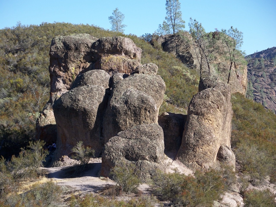
The Pinnacles rocks began as a volcanic field near present-day Lancaster about 23 million years ago. Movement along the San Andreas Fault carried this part of the formation roughly 195 miles north-west, and erosion by water and wind sculpted the spires and caves you walk among now. The High Peaks ridge is a good place to see how close the rock walls and pinnacles sit together.
High Peaks and Condor Gulch are good stretches to scan for California condors overhead. Pinnacles has been a release and management site for the recovery program since 2003. The birds are wild, so sightings aren’t guaranteed, but their huge silhouettes make the narrow ridge feel even smaller.
Old Pinnacles Parking Area is the right start for this loop; the lot has 21 spaces, and park lots can fill early on busy weekends and holidays. Pets are prohibited on park trails. If you want the cave and the Machete Ridge scenery without the full cross-park day, the NPS Old Pinnacles-to-Balconies Cave walk is 5.3 miles round trip from this same access.
Wildlife
 47 sightingsCalifornia CondorMost seen around 1 PMSighting map
 26 sightingsMule DeerMost seen around 6 PMSighting map
 19 sightingsChipmunkMost seen around 7 AMSighting map
 33 sightingsTurkey VultureMost seen around noonSighting map
 26 sightingsAcorn WoodpeckerMost seen around 8 AMSighting map
 16 sightingsSteller's JayMost seen around 8 AMSighting map
Sighting maps show where each species has been reported across Pinnacles. Wildlife moves, so no sighting is guaranteed.
Keep exploring
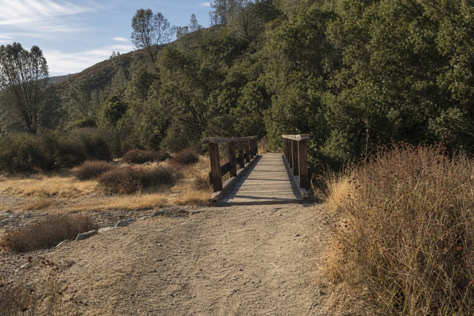 ModerateBlue Oak Trail5.3 mi · 3.5 hr · At the trailheadOak and tall grass give way to the High Peaks.
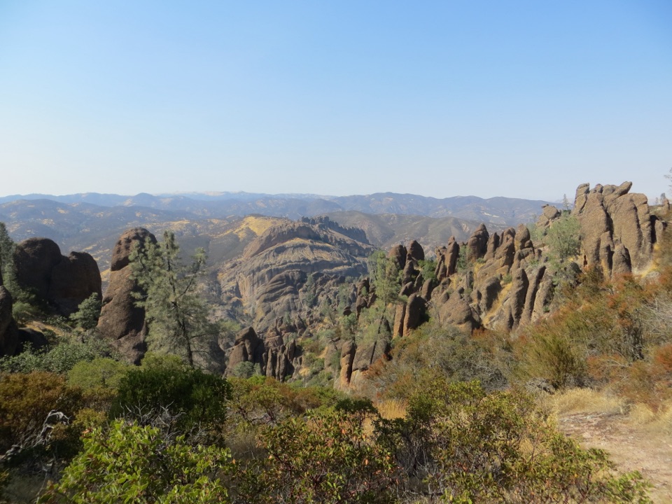 ChallengingHigh Peaks to Balconies Cave Loop8.9 mi · 5 hr · At the trailheadA steep loop through Pinnacles' spires and a dark talus cave.
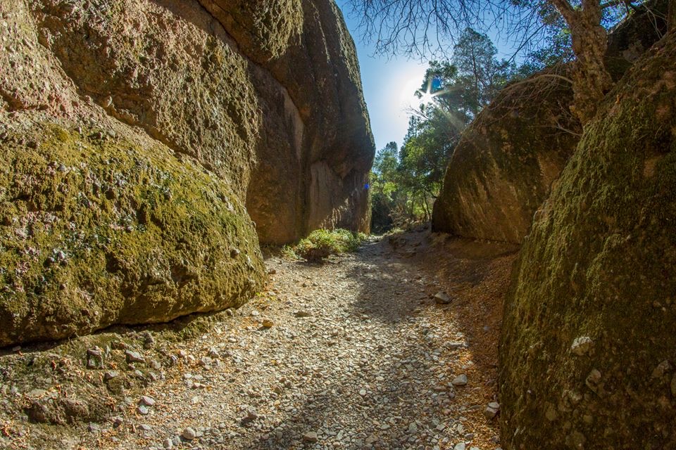 ModerateOld Pinnacles Trail to Balconies Cave5.4 mi · 3.5 hr · At the trailheadA cave passage and cliffside loop beneath Machete Ridge.
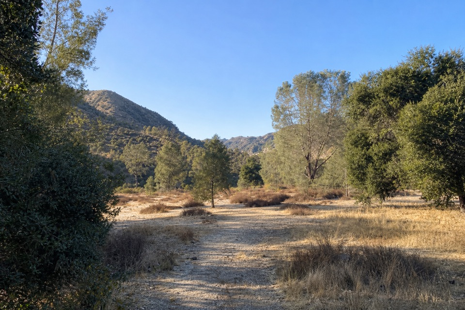 ModerateSycamore Trail1 mi · 45 min · 0.8 mi awayA gentle creekside mile between Peaks View and Bear Gulch.
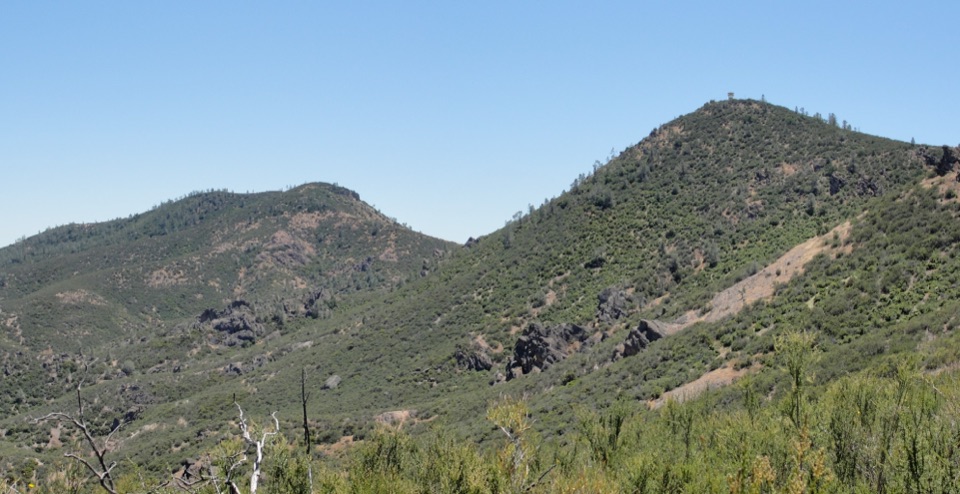 ChallengingChalone Peak Trail9 mi · 5 hr · 1 mi awayAn exposed climb to the park’s high point and a closed lookout.
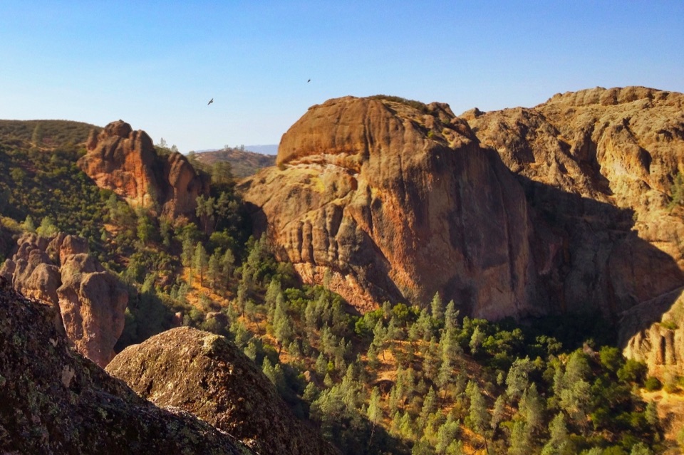 ModerateCondor Gulch Trail to Overlook2 mi · 1.8 hr · 1 mi awayA steady mile leads to a rocky overlook into Condor Gulch.
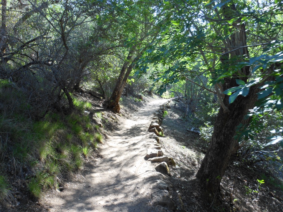 ModerateMoses Spring to Rim Trail Loop2.2 mi · 1.5 hr · 1.1 mi awayA short loop linking Bear Gulch’s cave, reservoir, and rim.
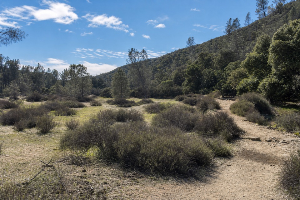 EasyBench Trail Accessible Section0.8 mi · 30 min · 1.1 mi awayOak shade and High Peaks views on a gentle accessible walk.
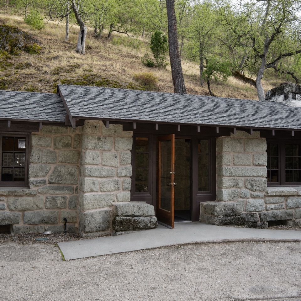 Visitor center · 1 mi awayBear Gulch Nature CenterA compact ranger stop before Bear Gulch trails
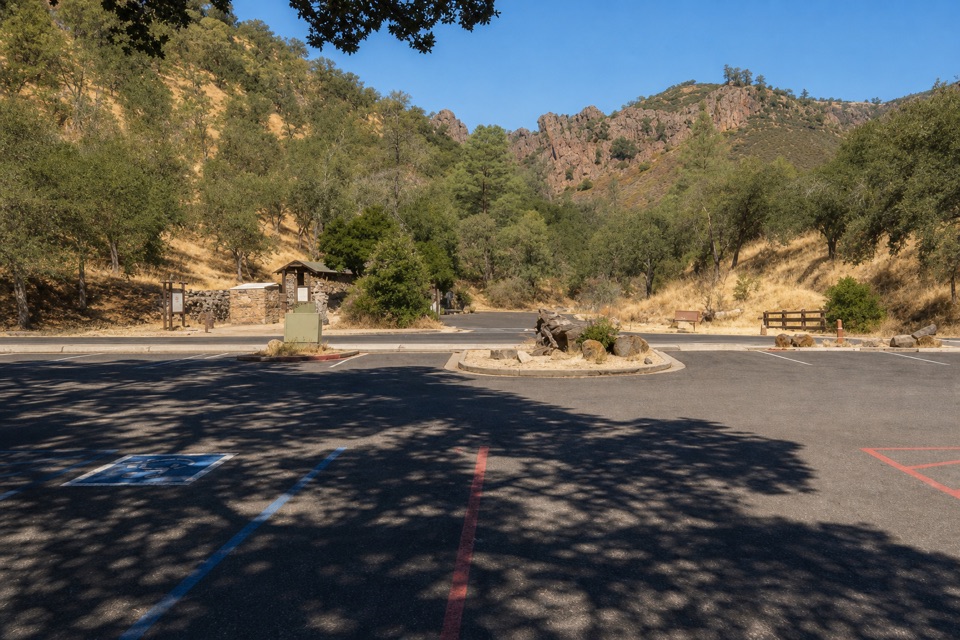 Sight · 1 mi awayBear Gulch Day Use AreaPark once for east-side trails and a rocky-hills view.
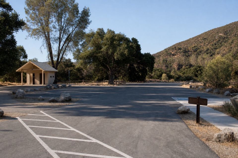 Sight · 1.1 mi awayPeaks View Parking AreaPicnic tables and trail access beside a low-key peaks view
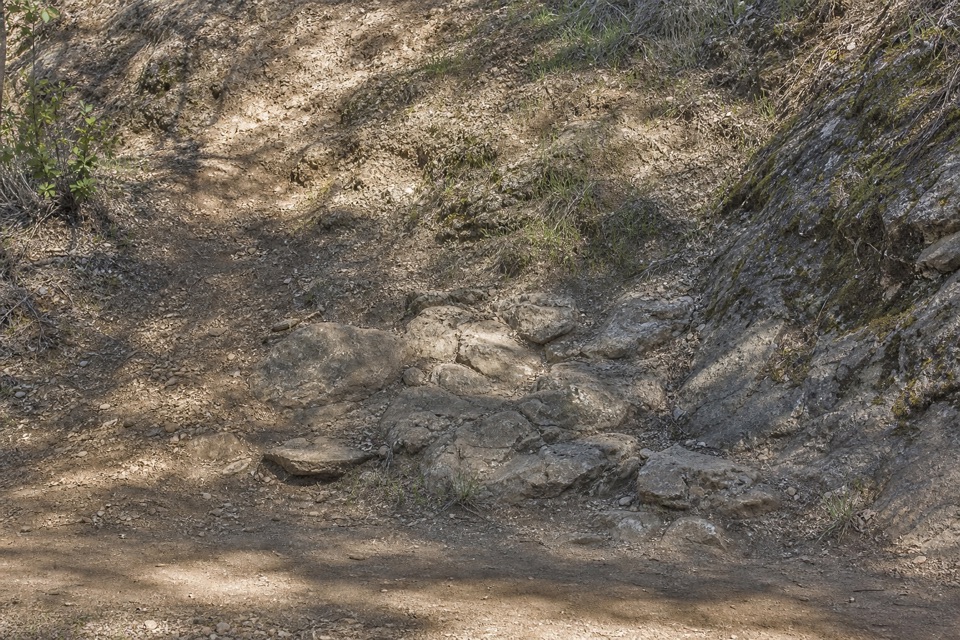 Picnic area · 1.2 mi awayBear Gulch Picnic AreaA small picnic grove between Moses Spring and Bear Gulch Day Use.
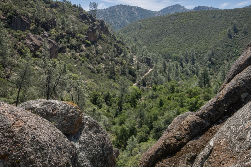 Sight · 1.3 mi awayCondor Gulch OverlookA worthwhile rocky pause before the tougher High Peaks climb.
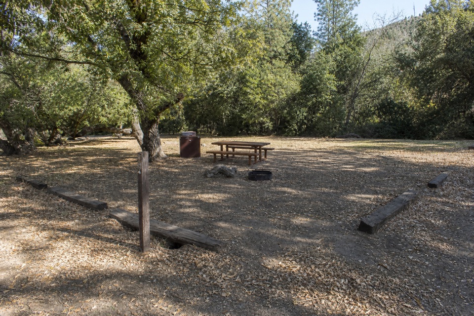 Campground · 1.4 mi awayPinnacles CampgroundA practical basecamp with the Bench Trail at your doorstep.
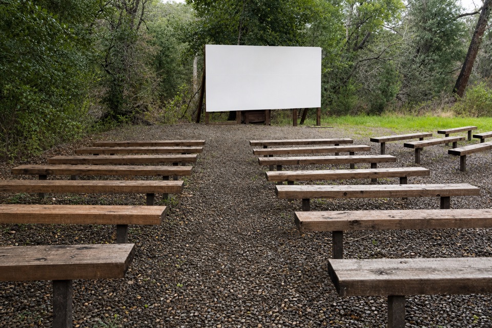 Sight · 1.4 mi awayPinnacles AmphitheaterA seasonal ranger talk is an easy evening extra.
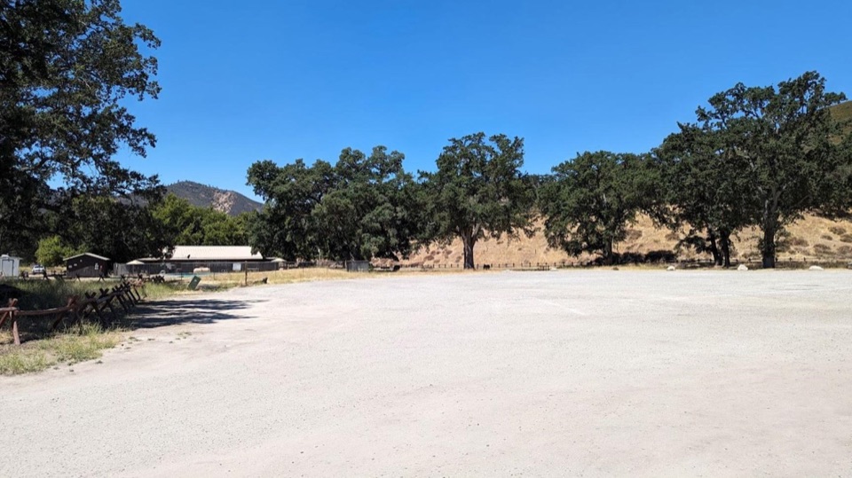 Picnic area · 1.5 mi awayPinnacles Campground Day Use AreaAn oak-shaded picnic stop behind the east-side campground pool.
Parkwolf’s Pinnacles ranking

The audio tour guide for the drive, plus offline maps, trails, and wildlife heatmaps for when the signal drops.