Parking
Enter from CA-25 on Pinnacles East Entrance Road and continue to Pinnacles Campground. Bench Trailhead is at the campground’s far end. Parking capacity for this access is not published.
Pinnacles National Park, CA
A sunny creek walk to a talus cave and a cliffside return.
Overview
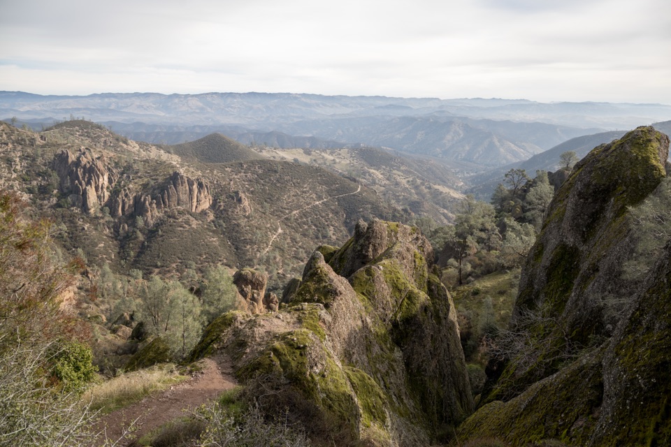
Campground to Balconies Cave is a 9.4-mile round trip from Bench Trailhead at the far end of Pinnacles Campground. Follow Bench and Old Pinnacles west along Chalone Creek, pass through the talus cave, loop back over Balconies Cliffs, then retrace the same lower-valley approach. Plan on 4 to 6 hours; it is rated moderate. The payoff is a cave passage and views of Pinnacles’ layered formations without the sustained climb to High Peaks. This is a half-day walk, not a quick cave stop.
 Parkwolf’s verdictIs this hike for you?
Map & elevation
Plan your hike

The highest, rockiest slopes around here are a summer buffet for grizzly bears.
Pinnacles Tour Guide
Parkwolf is a GPS audio tour guide for Pinnacles National Park. As you drive, it chimes in with what’s ahead: hidden gems, upcoming stops, history, geology, and wildlife, right through your car’s speakers.
Recorded for this trailhead
Bench Trail from the Campground“Bench Trailhead at the far end of Pinnacles Campground is coming up. For a lower-valley walk, follow Bench and Sycamore trails toward Bear Gulch, through western sycamores and bird habitat.”
Plays as you drive up to this trailhead in the Parkwolf Pinnacles Tour Guide.
More stories near here in the app
“Fantastic app with many points of information… It’s great to just turn on while you’re driving and it gives you an audio tour of the national Park. We love it!!!!”


Trail guide
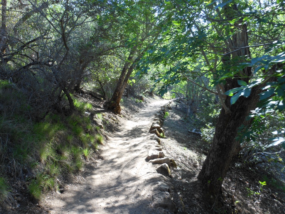
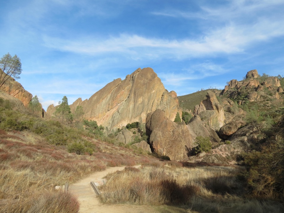
Bench and Old Pinnacles follow the lower Chalone Creek corridor through open, sunny grassland. Expect dirt and rock underfoot, with little shade; the trail is about 2 to 4 feet wide. Machete Ridge rises above the route as you get closer to Balconies. The creek corridor does not mean water is available: there is no drinking water along the trail.
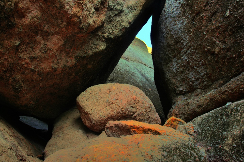
The cave is a dark passage between large boulders, with low ceilings and uneven, sometimes slippery footing. Bring a flashlight or headlamp. After winter rain, water may remain in the passage, requiring a wade, and flooding can temporarily close it. On the return, Balconies Cliffs crosses above the cave and opens views of the park’s largest rock formations; that stretch has no shade. Then follow the same Bench and Old Pinnacles corridor back to camp. Look up inside the cave for wedged blocks and small openings where daylight slips through.
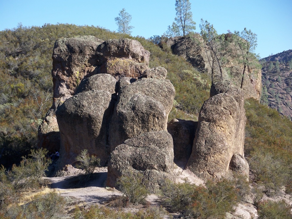
Balconies is a talus cave, not a hollow dissolved out of bedrock. Large boulders fell into a narrow, fractured gorge and lodged against one another, leaving passages beneath them. Water, wind and frost have also worn Pinnacles’ volcanic rock into the layered cliffs and spires around the route.
Pinnacles is part of an ancient volcanic field that formed about 23 million years ago near present-day Lancaster. Movement along the San Andreas Fault carried the park’s portion roughly 195 miles north. The rock formations you see here are the weathered remains of that journey, shaped further by erosion.
Several bat species use the park’s caves. Balconies Cave is a known roost for solitary male bats tucked into small cracks, away from disturbance. Pass through carefully and leave the boulders and crevices alone.
Start at the east-side campground, reached from CA-25 via Pinnacles East Entrance Road. There is a park entrance fee but no separate hike fee or reservation. Dogs are prohibited on park trails; service animals are allowed. A short section of Bench Trail may be wheelchair accessible, but the cave route as a whole has uneven, slippery rock. For a shorter cave outing, the 5.3-mile round trip from Old Pinnacles Trailhead skips much of the campground approach.
Wildlife
 47 sightingsCalifornia CondorMost seen around 1 PMSighting map
 26 sightingsMule DeerMost seen around 6 PMSighting map
 19 sightingsChipmunkMost seen around 7 AMSighting map
 33 sightingsTurkey VultureMost seen around noonSighting map
 26 sightingsAcorn WoodpeckerMost seen around 8 AMSighting map
 16 sightingsSteller's JayMost seen around 8 AMSighting map
Sighting maps show where each species has been reported across Pinnacles. Wildlife moves, so no sighting is guaranteed.
Keep exploring
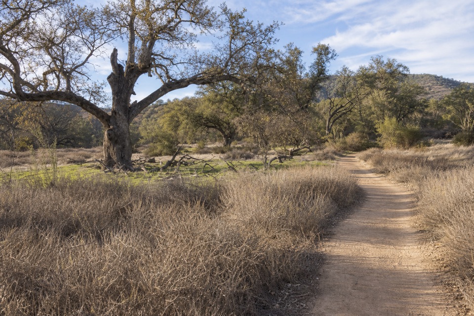 ModerateCampground to South Wilderness Trail5.8 mi · 3.5 hr · At the trailheadA mellow oak-valley walk on a faint, unmaintained creekside trail.
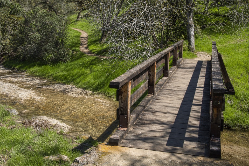 ModerateCampground to Bear Gulch Day Use Area2.3 mi · 1.5 hr · At the trailheadA moderate one-way walk follows two creeks to Bear Gulch.
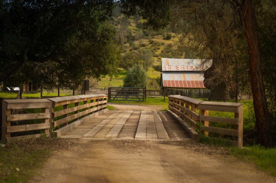 EasyBacon-Butterfield Ranch Trail2.8 mi · 1.8 hr · 0.5 mi awayAn easy valley walk through two old homesteads.
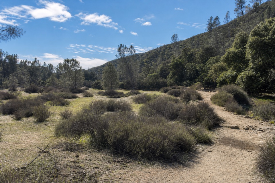 EasyBench Trail Accessible Section0.8 mi · 30 min · 0.7 mi awayOak shade and High Peaks views on a gentle accessible walk.
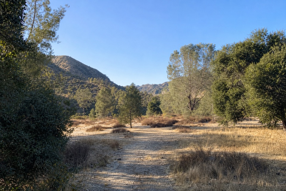 ModerateSycamore Trail1 mi · 45 min · 0.9 mi awayA gentle creekside mile between Peaks View and Bear Gulch.
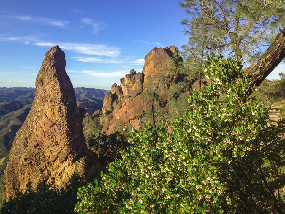 ChallengingHigh Peaks Trail to Old Pinnacles Trail to Condor Gulch Trail Loop12.6 mi · 7.5 hr · 1.3 mi awayA full-day circuit through caves, High Peaks spires, and wild ridges.
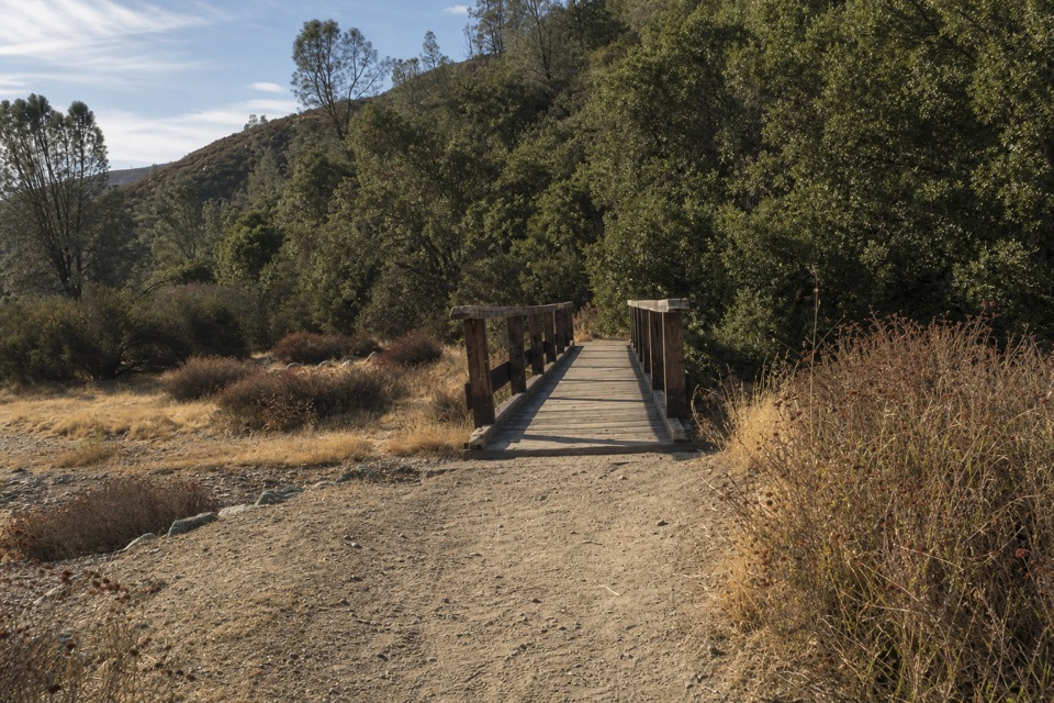 ModerateBlue Oak Trail5.3 mi · 3.5 hr · 1.3 mi awayOak and tall grass give way to the High Peaks.
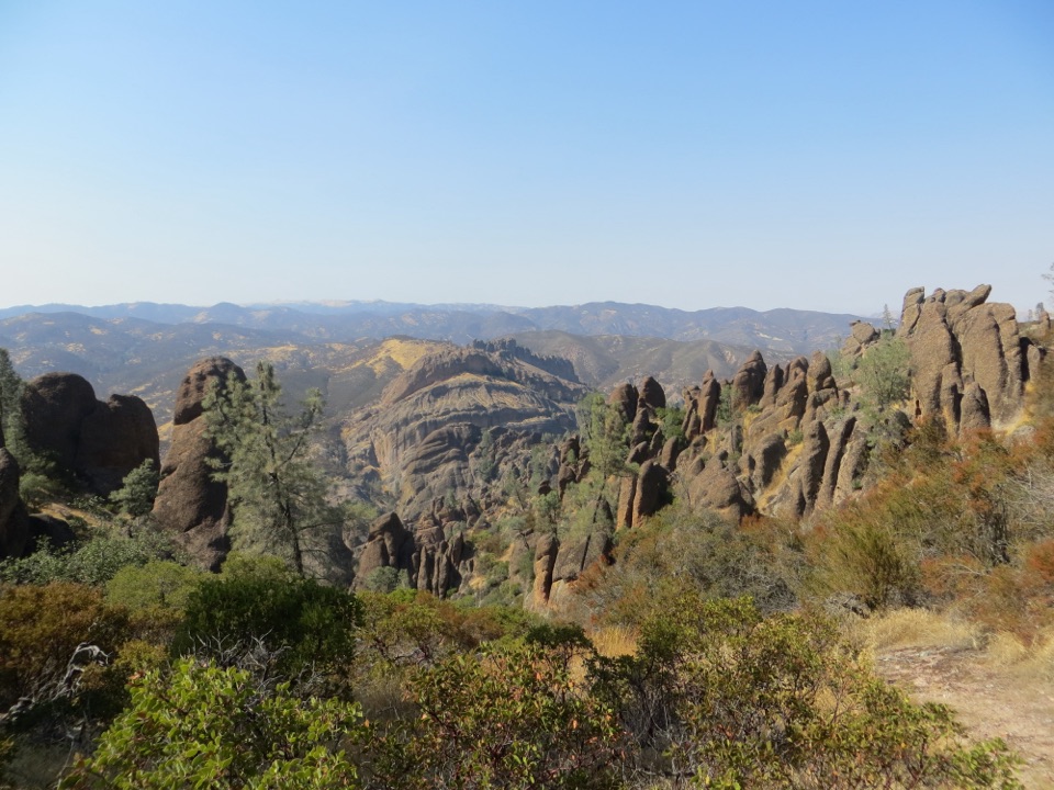 ChallengingHigh Peaks to Balconies Cave Loop8.9 mi · 5 hr · 1.3 mi awayA steep loop through Pinnacles' spires and a dark talus cave.
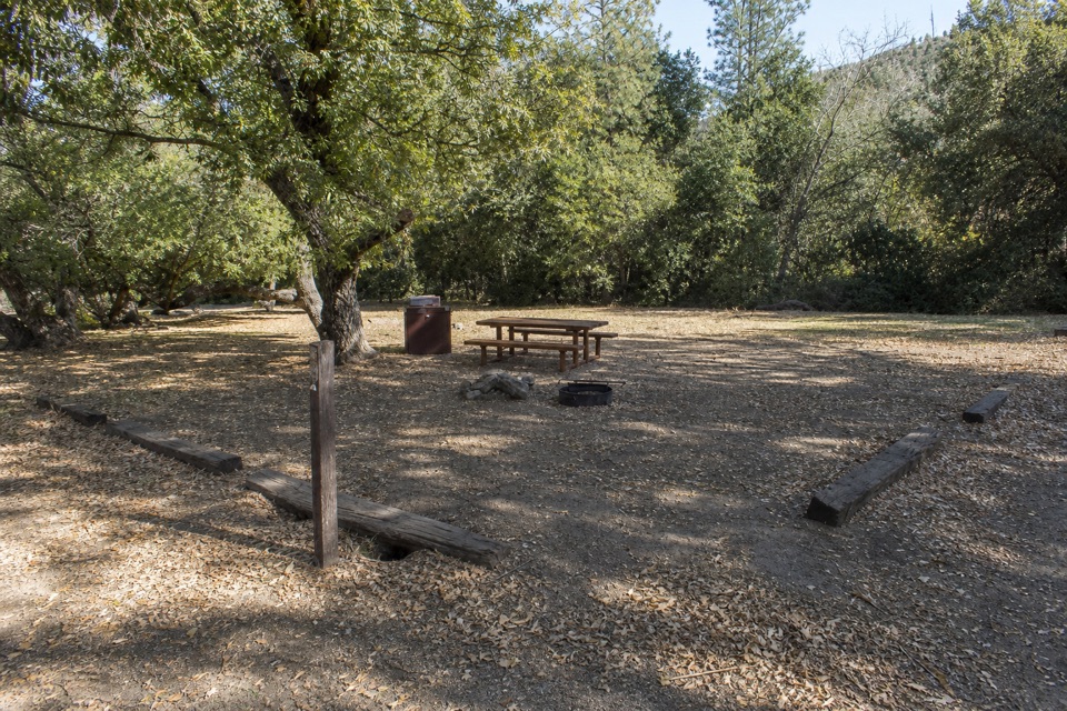 Campground · 0.2 mi awayPinnacles CampgroundA practical basecamp with the Bench Trail at your doorstep.
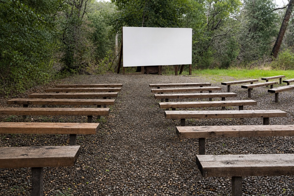 Sight · 0.3 mi awayPinnacles AmphitheaterA seasonal ranger talk is an easy evening extra.
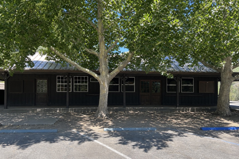 Store · 0.5 mi awayPinnacles Campground StoreA quick campground resupply stop for basics and firewood.
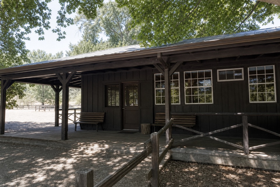 Store · 0.5 mi awayEast Pinnacles Park StoreAn east-side stop for park books, gifts and a passport stamp.
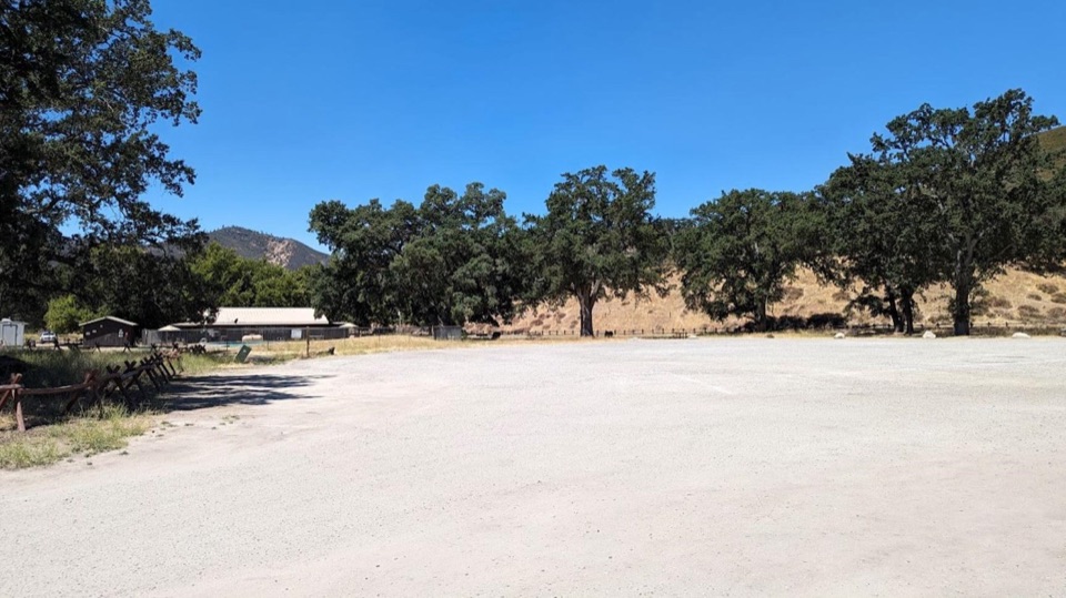 Picnic area · 0.5 mi awayPinnacles Campground Day Use AreaAn oak-shaded picnic stop behind the east-side campground pool.
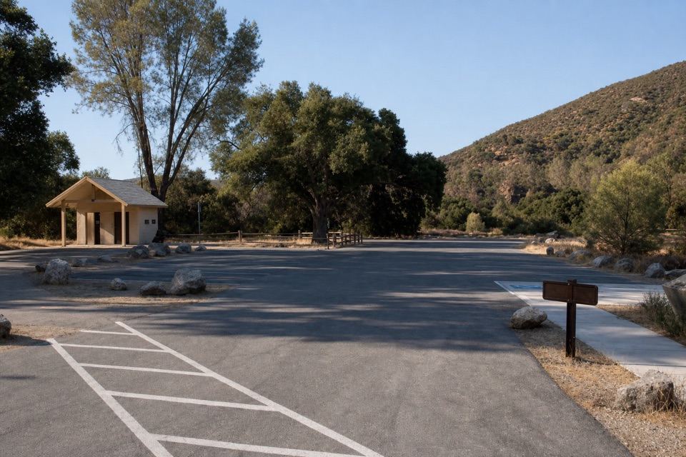 Sight · 0.7 mi awayPeaks View Parking AreaPicnic tables and trail access beside a low-key peaks view
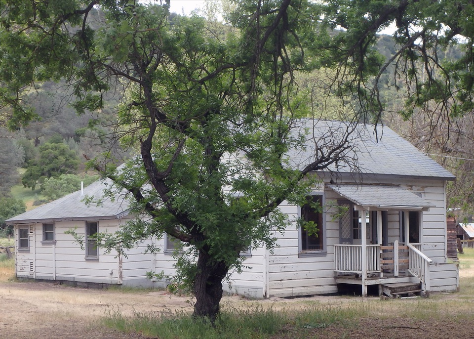 Sight · 0.8 mi awayBacon RanchHomestead buildings with the story of early park hospitality.
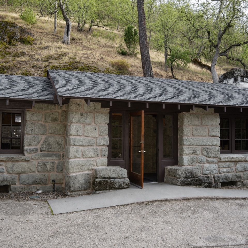 Visitor center · 1.7 mi awayBear Gulch Nature CenterA compact ranger stop before Bear Gulch trails
Parkwolf’s Pinnacles ranking
The audio tour guide for the drive, plus offline maps, trails, and wildlife heatmaps for when the signal drops.