Parking
Use Peaks View Parking Area and follow the Bench Trail west to the Sycamore junction. The 1.0-mile line ends at Bear Gulch Day Use Area; retrace it or connect to another trail to return.
Pinnacles National Park, CA
A gentle creekside mile between Peaks View and Bear Gulch.
Overview
Map & elevation
Plan your hike

The highest, rockiest slopes around here are a summer buffet for grizzly bears.
Pinnacles Tour Guide
Parkwolf is a GPS audio tour guide for Pinnacles National Park. As you drive, it chimes in with what’s ahead: hidden gems, upcoming stops, history, geology, and wildlife, right through your car’s speakers.
Recorded for this trailhead
Peaks View Picnic Stop“Peaks View Parking Area is coming up, a handy picnic stop with a modest view of the formations. The spotting scopes beside the bench give you a closer look.”
Plays as you drive up to this trailhead in the Parkwolf Pinnacles Tour Guide.
More stories near here in the app
“Fantastic app with many points of information… It’s great to just turn on while you’re driving and it gives you an audio tour of the national Park. We love it!!!!”


Trail guide
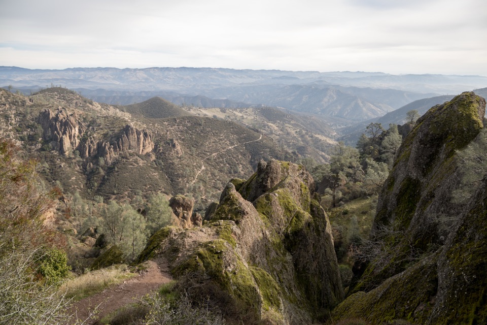
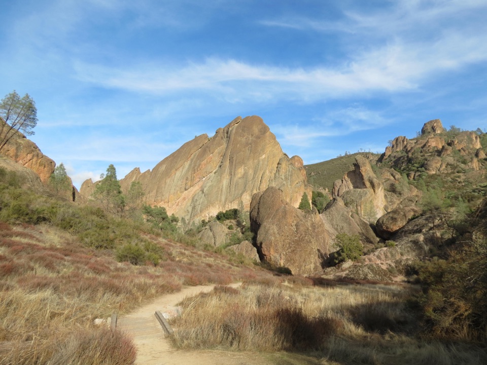
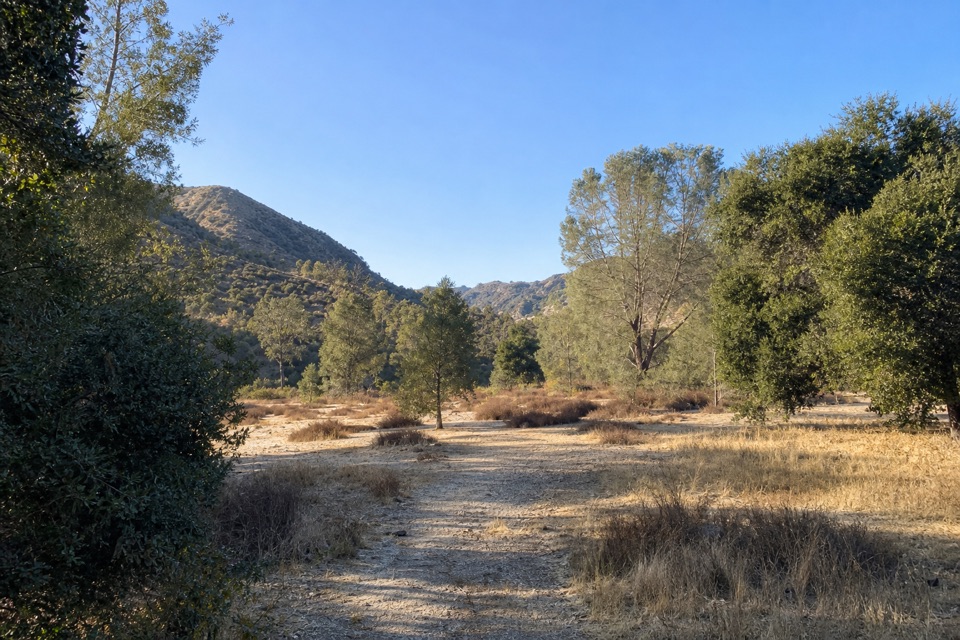
Sycamore Trail is a 1.0-mile point-to-point walk from the Bench Trail junction by Peaks View to Bear Gulch Day Use Area. It follows the low creek corridor and finishes by the nature center, picnic area, and restrooms. Allow 45–60 minutes one way. The measured mile is the trail segment; the Bench approach from parking and the return trip add distance.
The route climbs gently beneath tree groves, with a more open stretch and a bridge over the creek bed. Bear Gulch Creek runs seasonally, so the channel is often dry; small waterfalls may appear after heavy rain. Along the creek, a dry-laid stone tree well was built to protect trees during construction of the entrance road. Watch the tree-lined wash for birds, and leave time to use the picnic area at the Bear Gulch finish.
Park at Peaks View and follow the Bench Trail west to the Sycamore junction. From Bear Gulch Day Use Area, turn back or continue on a separate trail; this route is not a loop. There is no drinking water along the route and shade is limited. Pets are not allowed, though service animals are permitted. No separate hiking permit or reservation is required; park admission applies.
Wildlife
 47 sightingsCalifornia CondorMost seen around 1 PMSighting map
 26 sightingsMule DeerMost seen around 6 PMSighting map
 19 sightingsChipmunkMost seen around 7 AMSighting map
 33 sightingsTurkey VultureMost seen around noonSighting map
 26 sightingsAcorn WoodpeckerMost seen around 8 AMSighting map
 16 sightingsSteller's JayMost seen around 8 AMSighting map
Sighting maps show where each species has been reported across Pinnacles. Wildlife moves, so no sighting is guaranteed.
Keep exploring
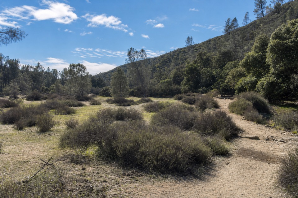 EasyBench Trail Accessible Section0.8 mi · 30 min · 0.3 mi awayOak shade and High Peaks views on a gentle accessible walk.
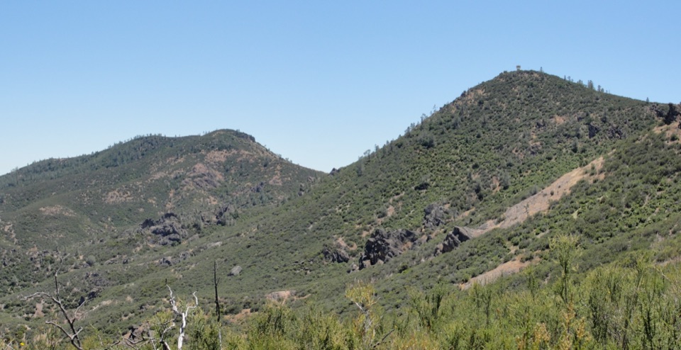 ChallengingChalone Peak Trail9 mi · 5 hr · 0.8 mi awayAn exposed climb to the park’s high point and a closed lookout.
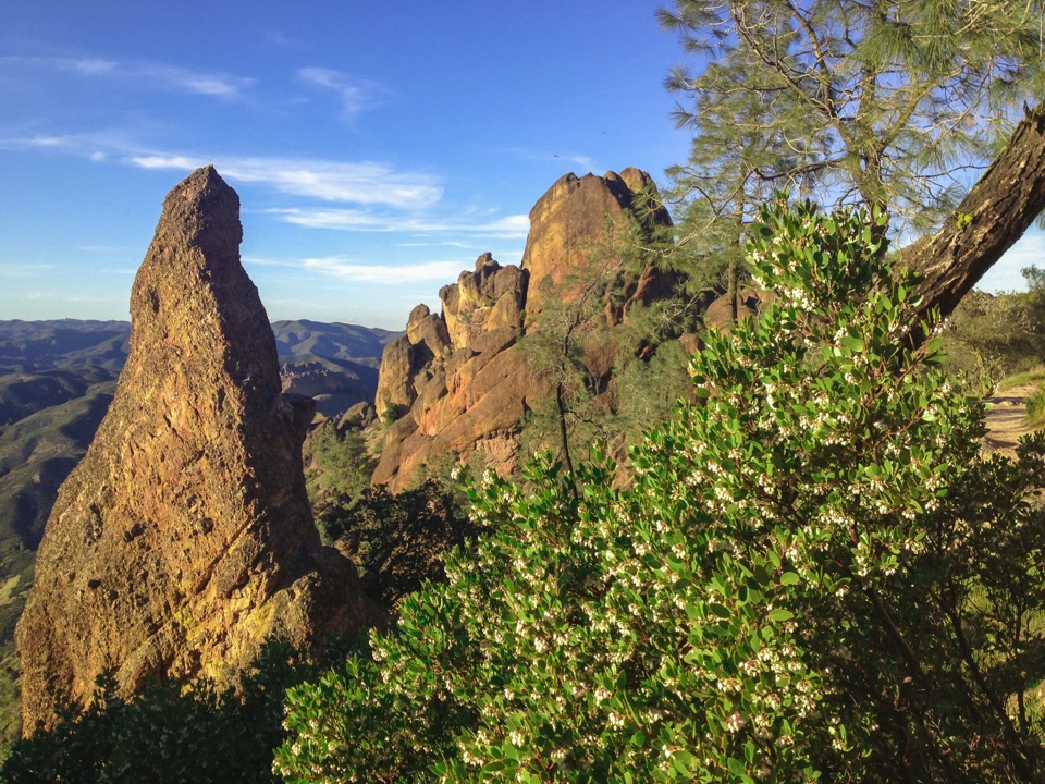 ChallengingHigh Peaks Trail to Old Pinnacles Trail to Condor Gulch Trail Loop12.6 mi · 7.5 hr · 0.8 mi awayA full-day circuit through caves, High Peaks spires, and wild ridges.
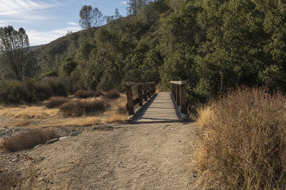 ModerateBlue Oak Trail5.3 mi · 3.5 hr · 0.8 mi awayOak and tall grass give way to the High Peaks.
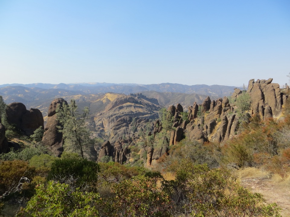 ChallengingHigh Peaks to Balconies Cave Loop8.9 mi · 5 hr · 0.8 mi awayA steep loop through Pinnacles' spires and a dark talus cave.
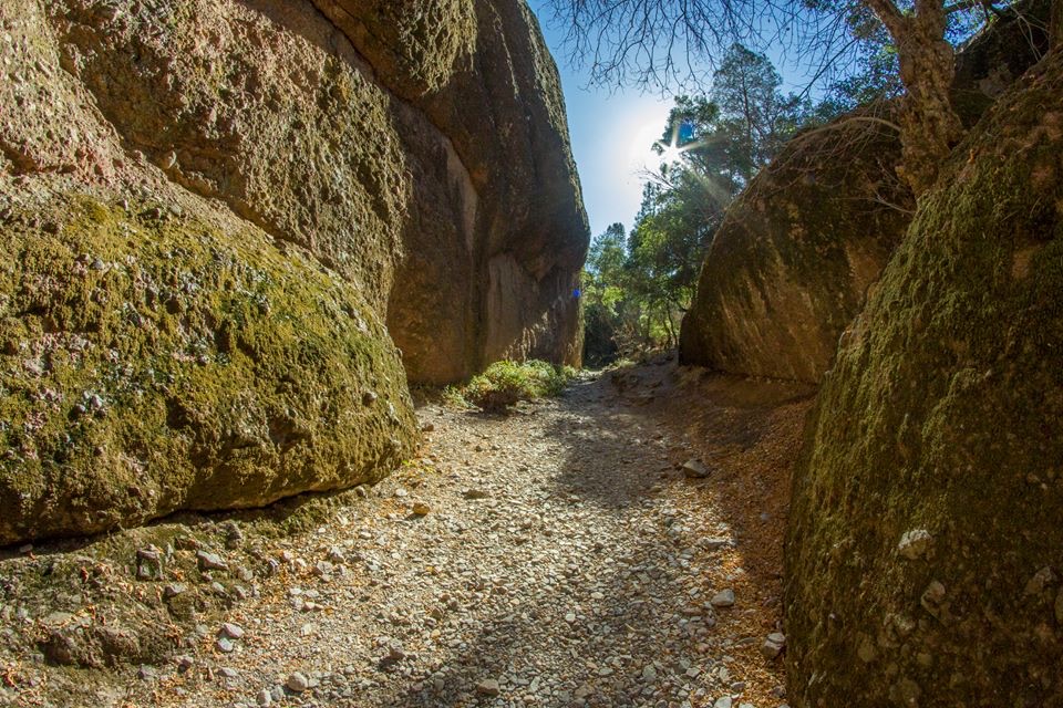 ModerateOld Pinnacles Trail to Balconies Cave5.4 mi · 3.5 hr · 0.8 mi awayA cave passage and cliffside loop beneath Machete Ridge.
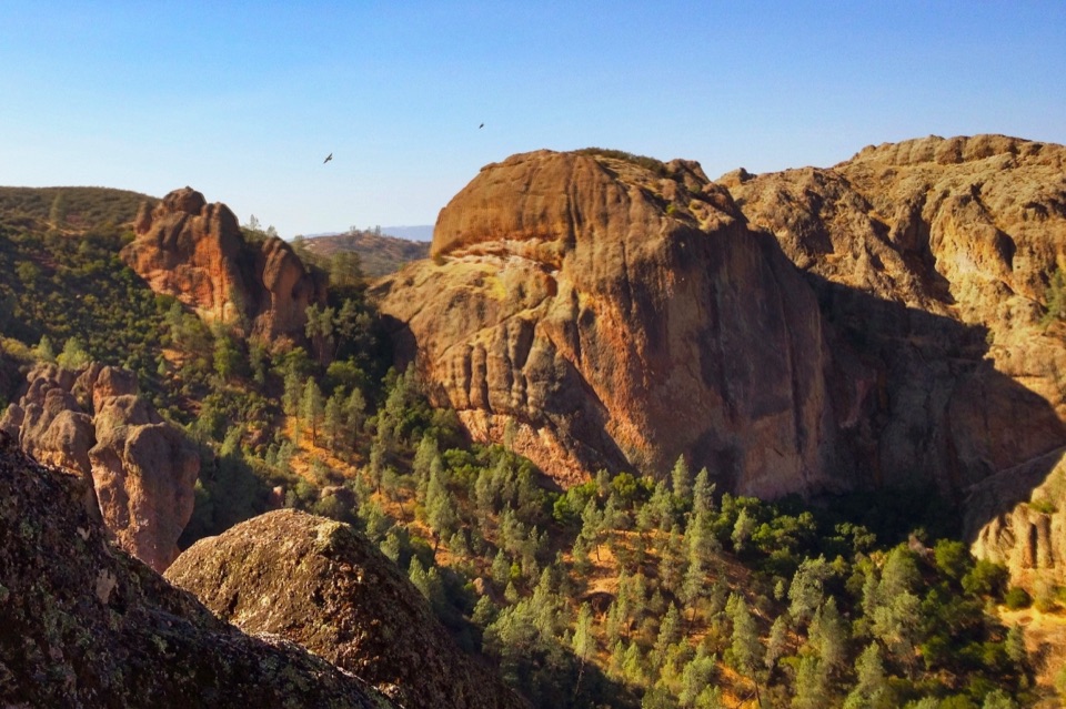 ModerateCondor Gulch Trail to Overlook2 mi · 1.8 hr · 0.9 mi awayA steady mile leads to a rocky overlook into Condor Gulch.
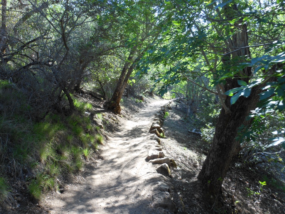 ModerateMoses Spring to Rim Trail Loop2.2 mi · 1.5 hr · 0.9 mi awayA short loop linking Bear Gulch’s cave, reservoir, and rim.
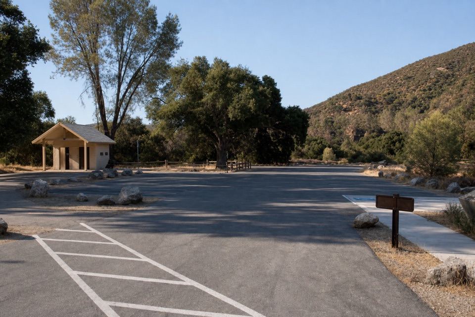 Sight · 0.3 mi awayPeaks View Parking AreaPicnic tables and trail access beside a low-key peaks view
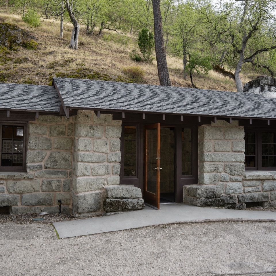 Visitor center · 0.8 mi awayBear Gulch Nature CenterA compact ranger stop before Bear Gulch trails
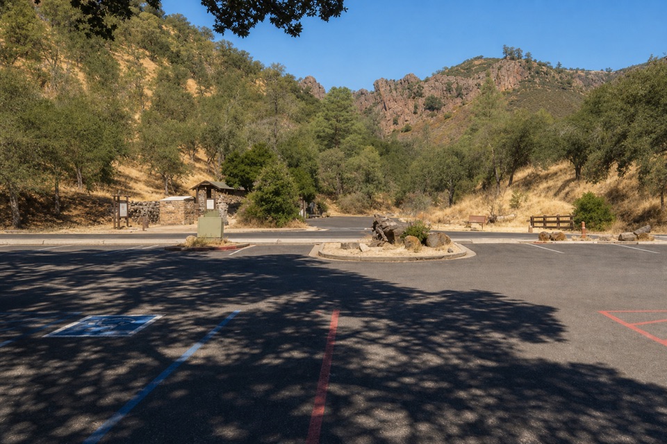 Sight · 0.8 mi awayBear Gulch Day Use AreaPark once for east-side trails and a rocky-hills view.
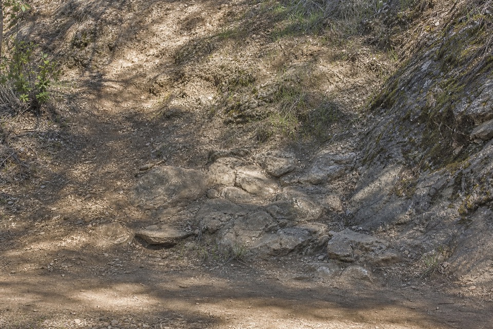 Picnic area · 1 mi awayBear Gulch Picnic AreaA small picnic grove between Moses Spring and Bear Gulch Day Use.
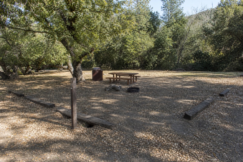 Campground · 1.1 mi awayPinnacles CampgroundA practical basecamp with the Bench Trail at your doorstep.
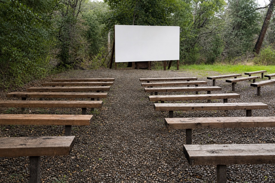 Sight · 1.1 mi awayPinnacles AmphitheaterA seasonal ranger talk is an easy evening extra.
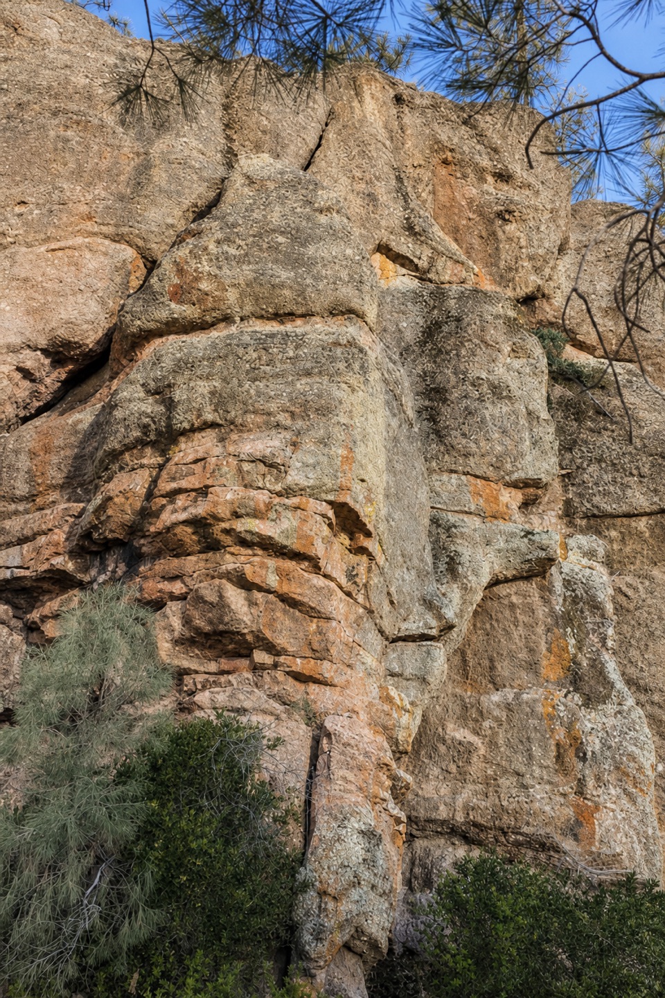 Sight · 1.2 mi awayDiscovery WallA technical crag where weak volcanic rock demands care.
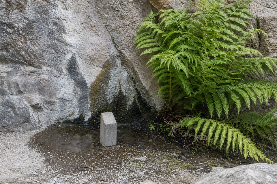 Sight · 1.3 mi awayMoses SpringA rock-wall spring worth a pause; don’t drink the water.
Parkwolf’s Pinnacles ranking

The audio tour guide for the drive, plus offline maps, trails, and wildlife heatmaps for when the signal drops.