Challenging

High Peaks to Balconies Cave Loop

Carved-in-rock heights meet a headlamp-only cave and condors
High Peaks to Balconies Cave Loop, Pinnacles National Park
Distance8.4 mi
Typical time4.4 hr
DifficultyChallenging
PetsNot allowed

Overview

This is Pinnacles’ greatest hits in one strenuous loop: razorback ridges with stairs chiseled into volcanic rock, airy traverses with railings, and a true talus cave that demands a headlamp. Expect 8.4 miles total from the classic east-side start, stretching closer to 9.0 miles depending on where you park and minor route choices. Plan on 4–6 hours, and treat it as a full-value outing.

Route Flow (clockwise from the east)

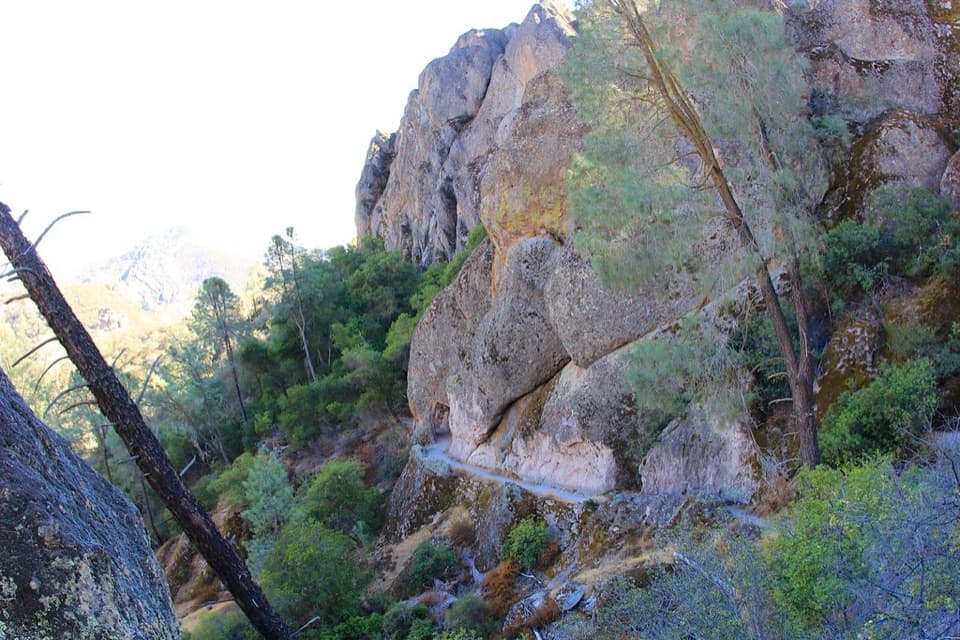
Start at Old Pinnacles on the east side and cruise the gentle Old Pinnacles/Bench connectors before the real work begins on High Peaks. The “Steep and Narrow” section threads through rock spires on carved steps with metal railings and big exposure—thrilling, not for the height-averse. Descend Juniper Canyon to the west (Chaparral) side, then turn through the Balconies area and into Balconies Cave, a dark talus cave of wedged boulders that often requires ducking, squeezing, and a careful scramble over slick rock. Finish with a mellow return on Old Pinnacles Trail. A restroom is near the High Peaks/Juniper junction. Starting from Chaparral on the west trims the overall distance a bit.

What You’ll See

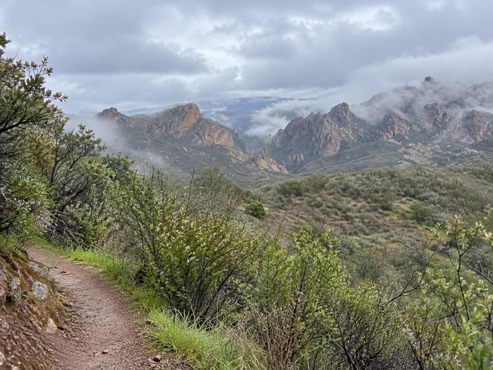
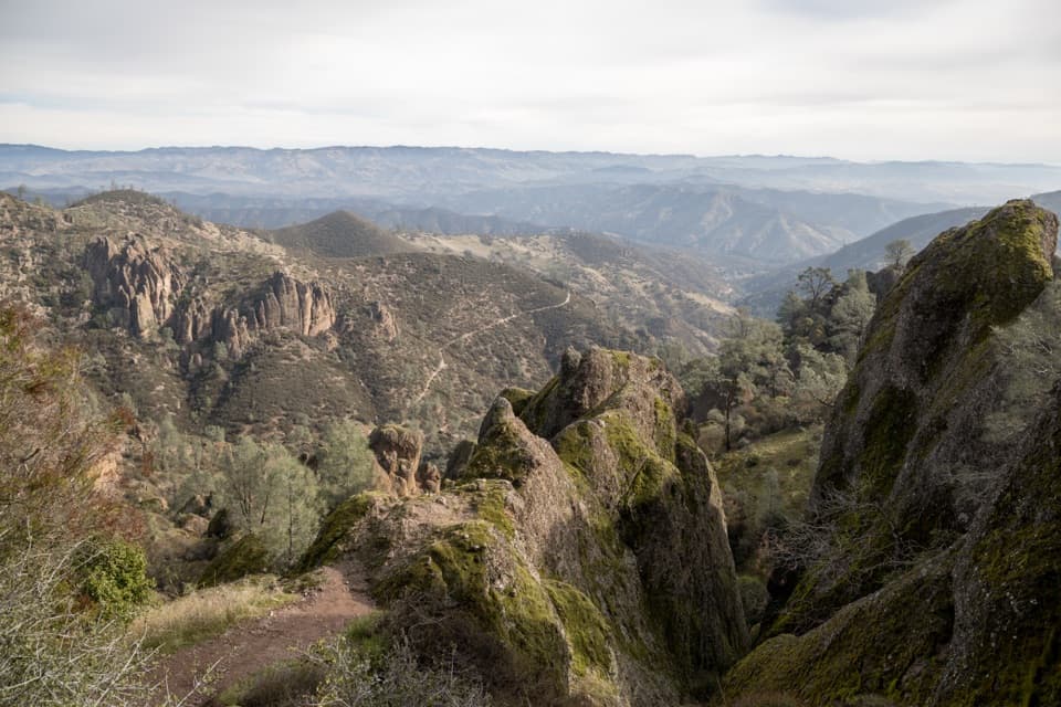
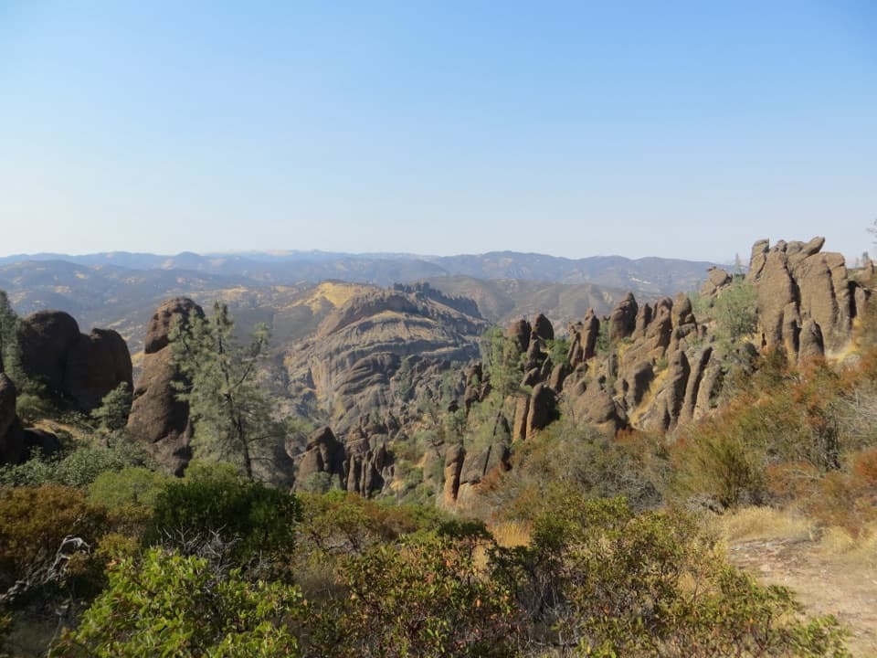
  • High Peaks: Panoramic views and photogenic spires, plus a good chance of seeing endangered California condors riding thermals overhead.
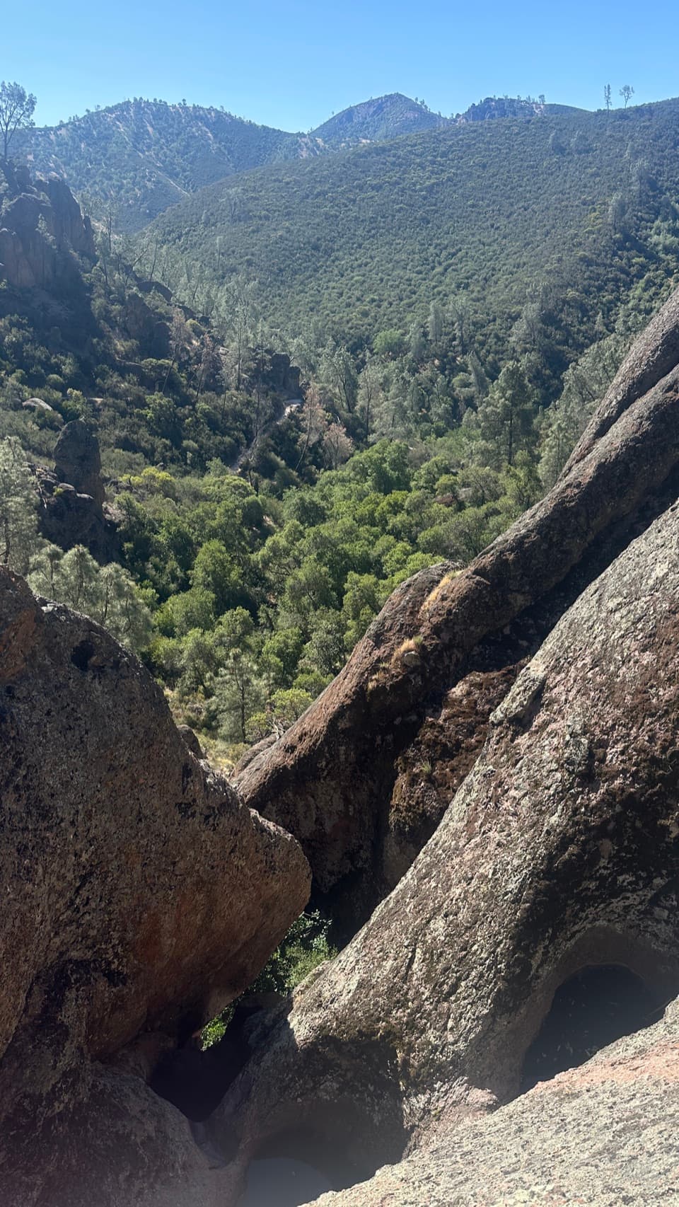
  • Balconies Cave: A genuine headlamp experience—pitch-black sections, uneven footing, and a few low ceilings. If the cave is closed (flooding or seasonal), the parallel Balconies Cliffs Trail keeps the loop intact.
  • Along the way: Spring wildflowers, shaded pockets of chaparral and oak, sandy canyon walking, and frequent sightings of climbers on nearby walls.

Difficulty and Conditions

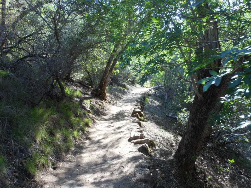
The loop is hard: sustained climbing, steep grades, and narrow passages with exposure. Surfaces are dirt, rock, and sand; expect carved steps, railings, and slick boulder hopping inside the cave. Most of the route is exposed and bakes in the sun—heat is the crux in warmer months. Cell service is unreliable.

Best Time to Hike

Spring (March–May) is the sweet spot: cooler air, long light, and wildflowers. In summer, start at dawn and plan to be off the High Peaks before midday heat. Winter brings comfortable temps but occasional cave flooding or short-term closures; always check current conditions at the visitor centers or trailhead boards. Weekdays beat weekends for parking and space on the narrow ridge sections.

Tips and Tricks

  • Bring at least a liter of water per hiking hour—there’s no potable water on trail. There is a spigot at the West (Chaparral) parking area.
  • A bright headlamp is mandatory for the cave; a phone light is not enough.
  • Sturdy footwear with good grip pays off on the carved steps and wet cave rock.
  • Start early. Parking fills fast, and cooler temps make the ridge more enjoyable.
  • No dogs on trail. Service animals only. No roads connect the park’s east and west entrances, so choose your start wisely.

Variations

  • Shorten via Tunnel Trail in the High Peaks (you’ll skip some of the most dramatic stair-and-railing traverses).
  • If the cave is closed or you prefer to stay topside, take Balconies Cliffs Trail. From Chaparral, a shorter lollipop of the Cliffs/Cave area is a good taste of the west side.

Geology and Wildlife

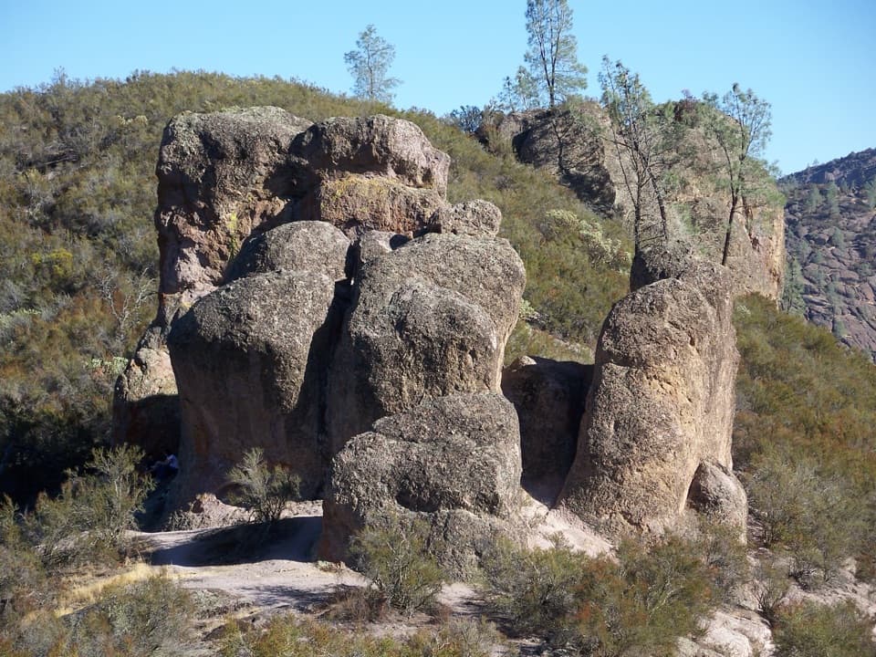
Pinnacles’ spires are eroded remnants of ancient volcanic deposits shifted over millions of years by tectonics. Balconies Cave is a talus cave—house-sized boulders jammed in a narrow canyon, creating the “roof.” Keep an eye out for California condors, plus wild turkeys, deer, foxes, and the occasional wild pig.

Pros

  • Iconic carved steps and railings through the High Peaks’ spires
  • Legit talus cave experience that requires a real headlamp
  • High odds of spotting California condors riding thermals

Cons

  • Mostly unshaded; heat can make the ridge punishing by late morning
  • Balconies Cave can close due to flooding, forcing a detour
  • Tight, exposed sections may unsettle anyone with fear of heights

Parking

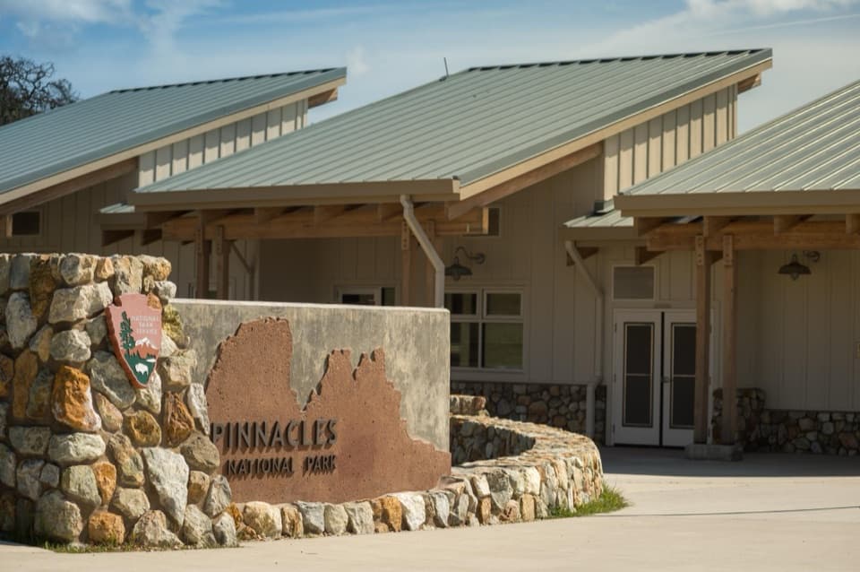
Start from Old Pinnacles (east) or Chaparral/West (west). West-side start is slightly shorter and has a water spigot. Lots fill early; there is no road connecting the two entrances, so choose your start and finish on the same side.

Caution

Strenuous heat-prone loop with narrow, exposed stair-and-railing traverses; headlamp-required cave with low ceilings and slick rock; cave may flood or close seasonally; watch for poison oak and rattlesnakes; no water on trail and limited cell service.

The Parkwolf tour guide sitting on a phone mounted in a car

Parkwolf Tour Guide

Like a tour guide in your car.

Bring Pinnacles trail research into the car, with offline maps and stories that play as you drive.Download Parkwolf on the App Store