Rules
Dogs are prohibited on Sculptured Beach, Secret Beach, and the trails leading here. Bicycles are prohibited on most of these routes, and this is designated wilderness. Drones are prohibited throughout the seashore.
Beach · Point Reyes National Seashore
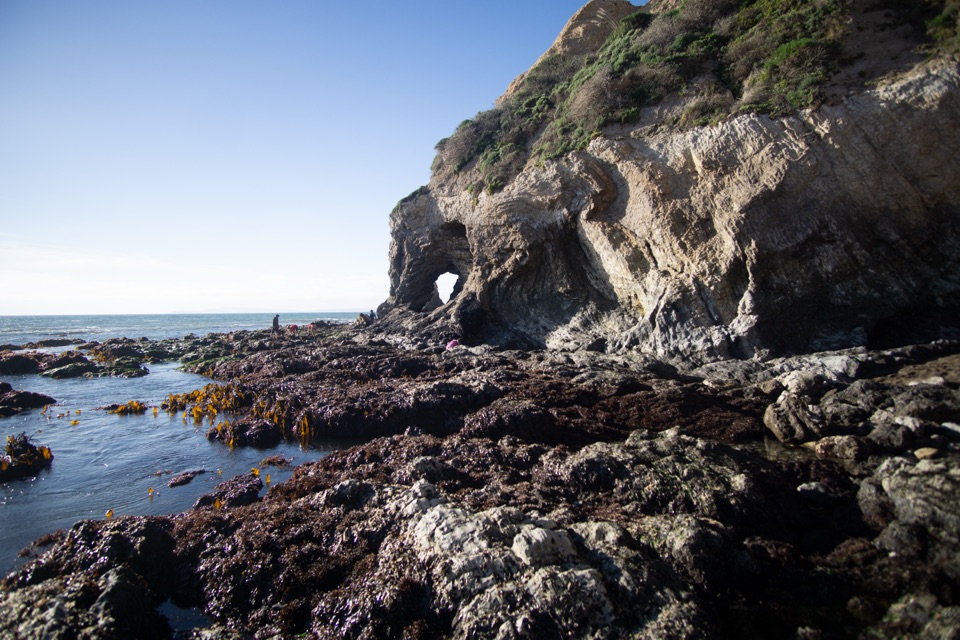
Collapsed sea cave and hidden beach reached only at negative tides
Overview
Map
Plan your stop

The highest, rockiest slopes around here are a summer buffet for grizzly bears.
Point Reyes Tour Guide
Parkwolf is a GPS audio tour guide for Point Reyes National Seashore. As you drive, it chimes in with what’s ahead: hidden gems, upcoming stops, history, geology, and wildlife, right through your car’s speakers.
More stories near here in the app
“Fantastic app with many points of information… It’s great to just turn on while you’re driving and it gives you an audio tour of the national Park. We love it!!!!”


Guide
At the north end of Secret Beach, the roof of a sea cave gave way long ago, leaving a large sinkhole-like depression in the coastal bluff that reads like a hidden amphitheater open to the sky. That is Skylight Cave. You enter through a small tunnel-like opening about 130 feet east of the keyhole that separates Sculptured Beach from Secret Beach. Some mapping apps label the spot Point Reyes Crater, which is wrong; nothing here was formed by an impact.
Secret Beach itself runs roughly 0.85 miles beneath sheer bluffs, with small sea caves, visible faults, and twisted, contorted rock layers. Visitors who make it consistently call it beautiful and worth the effort, and just as consistently insist you go on a very low tide.
Safe passage through the keyhole is usually limited to a tide of -1 foot or lower, and even then it depends on sand depth and surf height. At higher tide or in high surf the keyhole can be impassable. Check tide predictions and the weather forecast before you go, plan your turnaround around the rising tide, and keep watching the water the whole time you are down there. Visitors who have done it repeatedly give the same warning: watch for rising water. This is wilderness with no shelter from weather and no help nearby.
It is a long walk for a destination you may not reach. The tide window is short, the keyhole is conditional, and the 8-foot wall plus intertidal rock rule this out for anyone uneasy with scrambling or unsure footing. If the numbers do not line up, Sculptured Beach and Santa Maria Beach are still a fine day, and Secret Beach will keep.
Wildlife
 2,552 sightingsNorthern Elephant SealMost seen around 11 AMSighting map
 127 sightingsGrey WhaleMost seen around noonSighting map
 109 sightingsHumpback WhaleMost seen around 10 AMSighting map
 29 sightingsSteller Sea LionMost seen around noonSighting map
 203 sightingsCalifornia Sea LionMost seen around noonSighting map
 352 sightingsHarbor SealMost seen around 7 AMSighting map
Sighting maps show where each species has been reported across Point Reyes. Wildlife moves, so no sighting is guaranteed.
Keep exploring
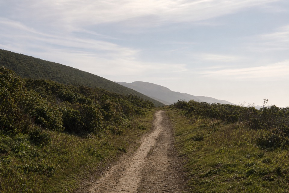 ModerateLaguna-Coast Loop5 mi · 2.5 hr · 2.6 mi awayA Drakes Bay ridge view, then a bluff-top coast return.
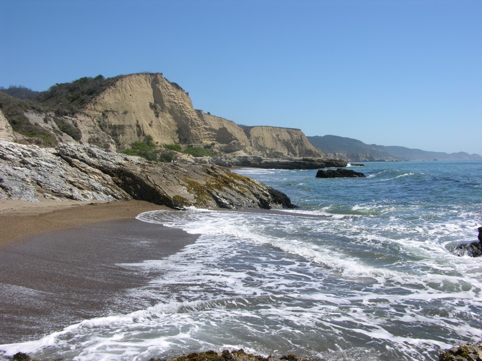 ModerateSculptured Beach via Laguna and Santa Maria Beach6.6 mi · 3.5 hr · 2.6 mi awayRidge views, a remote beach, and a route planned around the tide.
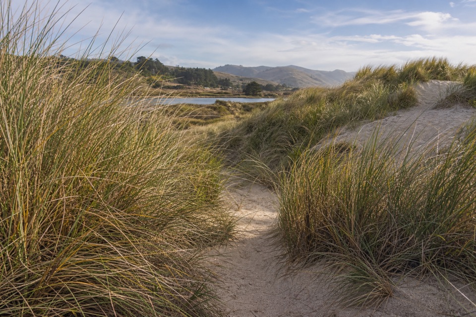 EasyLimantour Spit Trail2 mi · 1 hr · 2.6 mi awayA short sandy trail for birdwatching beside the estuary.
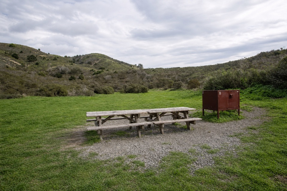 EasyCoast Trail to Coast Camp5.6 mi · 2.5 hr · 2.7 mi awayA flat coastal walk ends at a campground beside Santa Maria Beach.
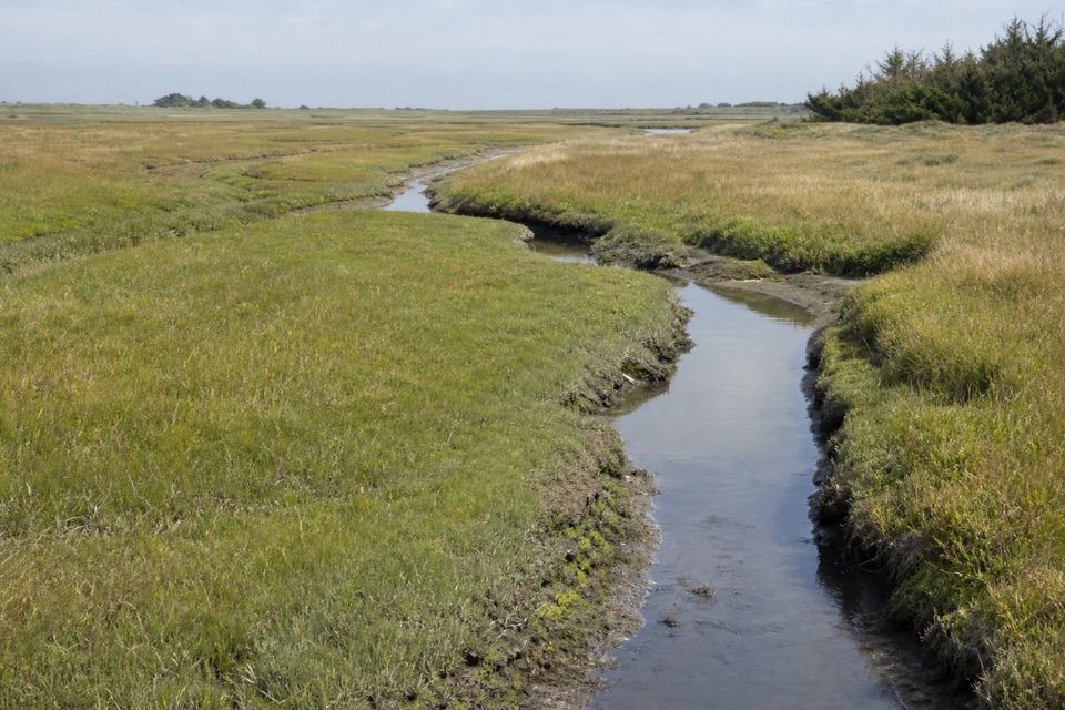 EasyMuddy Hollow Trail3 mi · 1.5 hr · 3.1 mi awayA flat walk through alder shade to a tidal marsh.
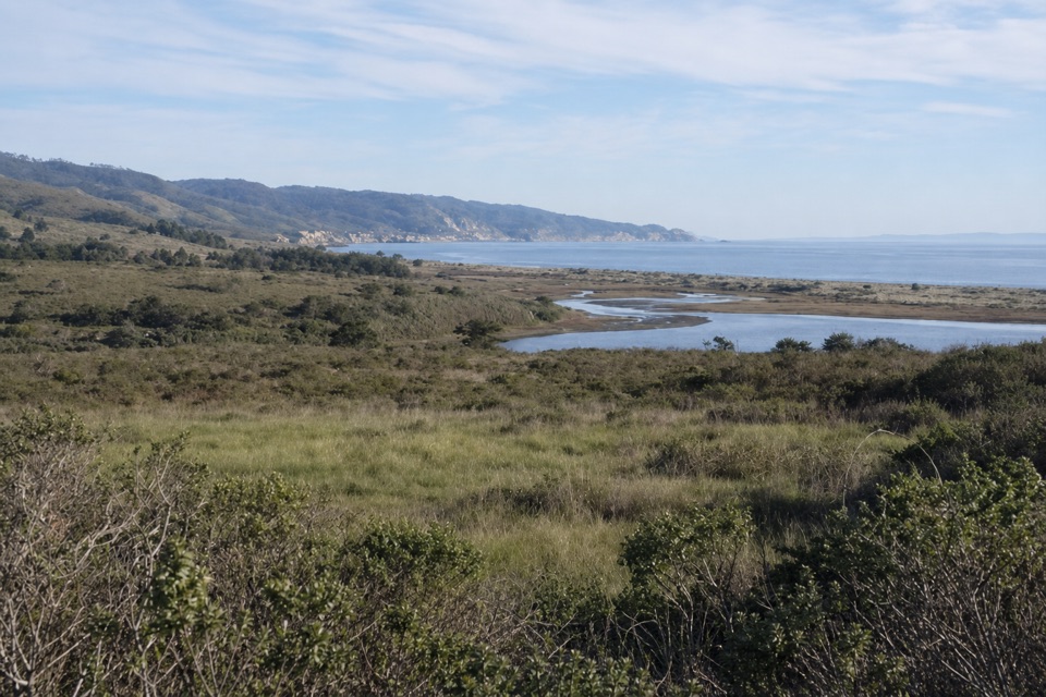 ModerateEstero–Glenbrook–Muddy Hollow Road Loop7.4 mi · 3.5 hr · 3.1 mi awayA changing loop from young woodland to open Estero views.
 ModerateBear Valley Trail to Miller Point9 mi · 4.5 hr · 3.1 mi awayA long forest walk ends at a headland above Drakes Bay.
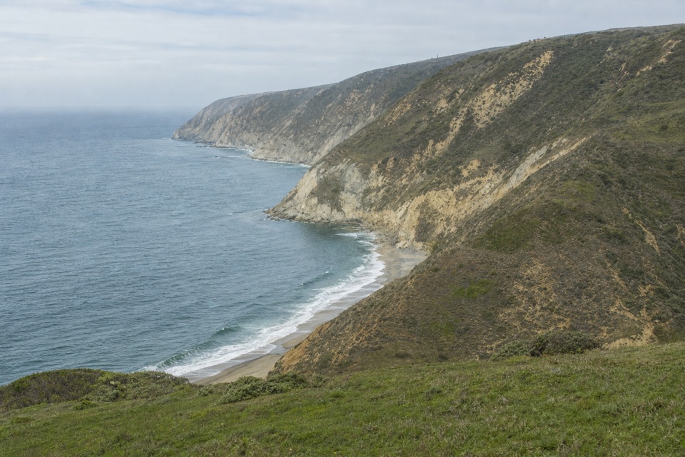 ChallengingWoodward Valley Loop13 mi · 6.5 hr · 3.1 mi awayForest, ridge and open coast in one strenuous circuit.
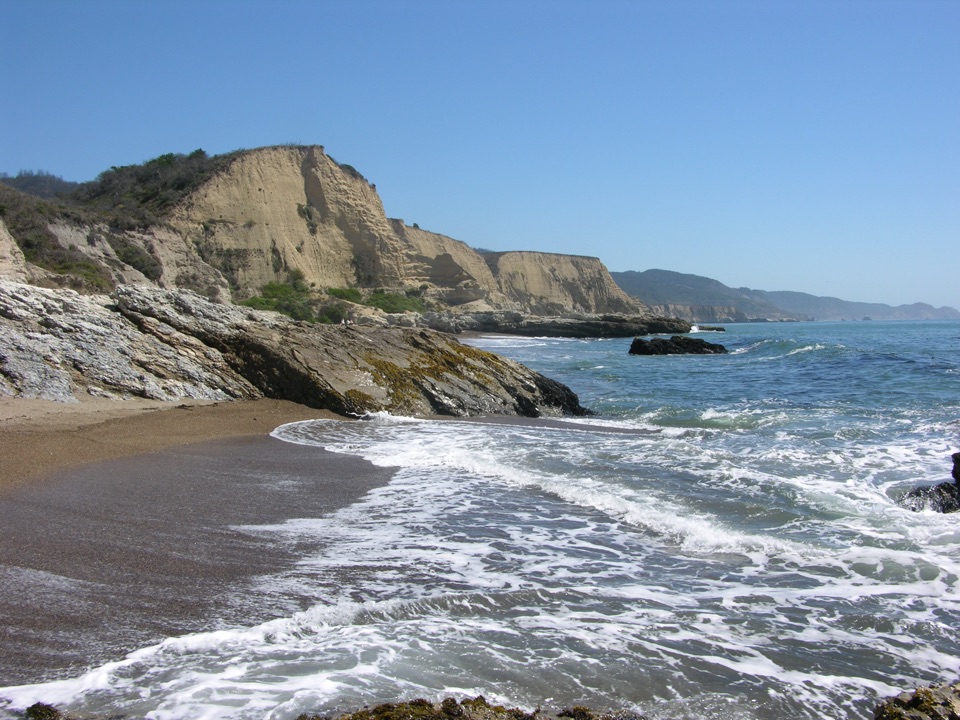 Beach · 0.2 mi awaySculptured BeachWave-carved rocks and low-tide pools, two miles down a wild shore
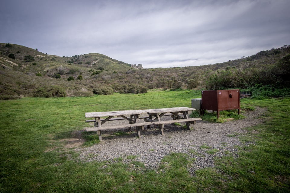 Campground · 0.9 mi awayCoast CampgroundGrassy coastal valley camp minutes from beach and tidepools
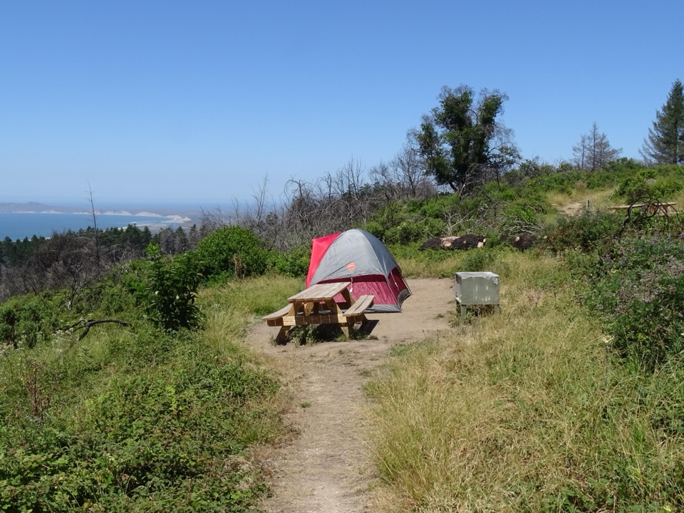 Campground · 2.3 mi awaySky CampgroundHike-in ridgetop tent sites with sweeping Drakes Bay and ocean views
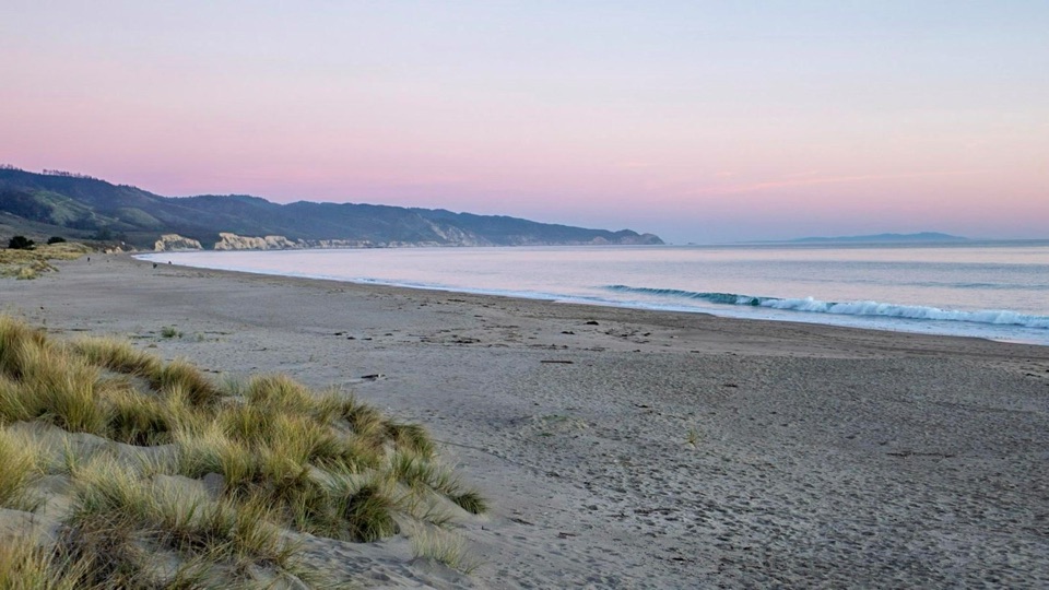 Beach · 2.4 mi awayLimantour BeachWide, dune-backed sand stretching four miles along gentle Drakes Bay
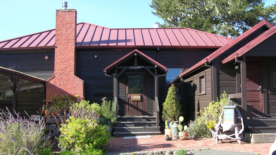 Lodging · 2.7 mi awayLimantour LodgePark's only roofed lodging, tucked in a valley near Limantour Beach
 Sight · 3.1 mi awayMorgan Horse RanchWorking park horses and ranch history on a short hillside walk
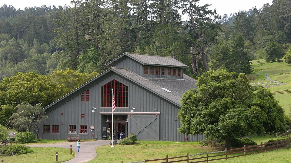 Visitor center · 3.2 mi awayBear Valley Visitor CenterBarn-style orientation hub where a life-size elephant seal greets you
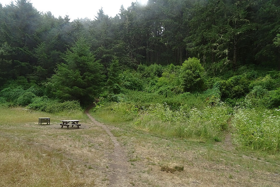 Campground · 3.2 mi awayGlen CampgroundQuiet wooded valley camp, 4.6 miles in, no ocean view
Parkwolf’s Point Reyes ranking

The audio tour guide for the drive, plus offline maps, trails, and wildlife heatmaps for when the signal drops.