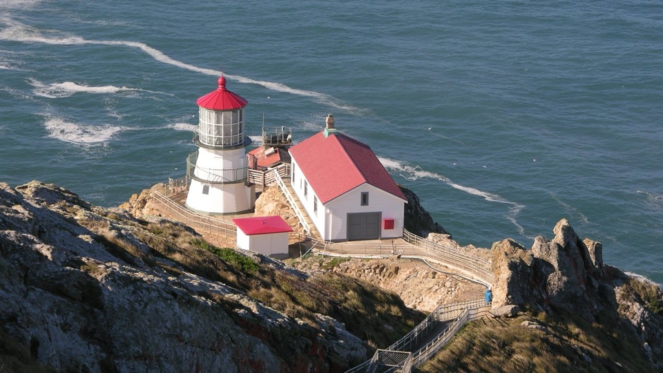
Sculptured Beach in Point Reyes National Seashore

Beach · Point Reyes National Seashore

Sculptured Beach

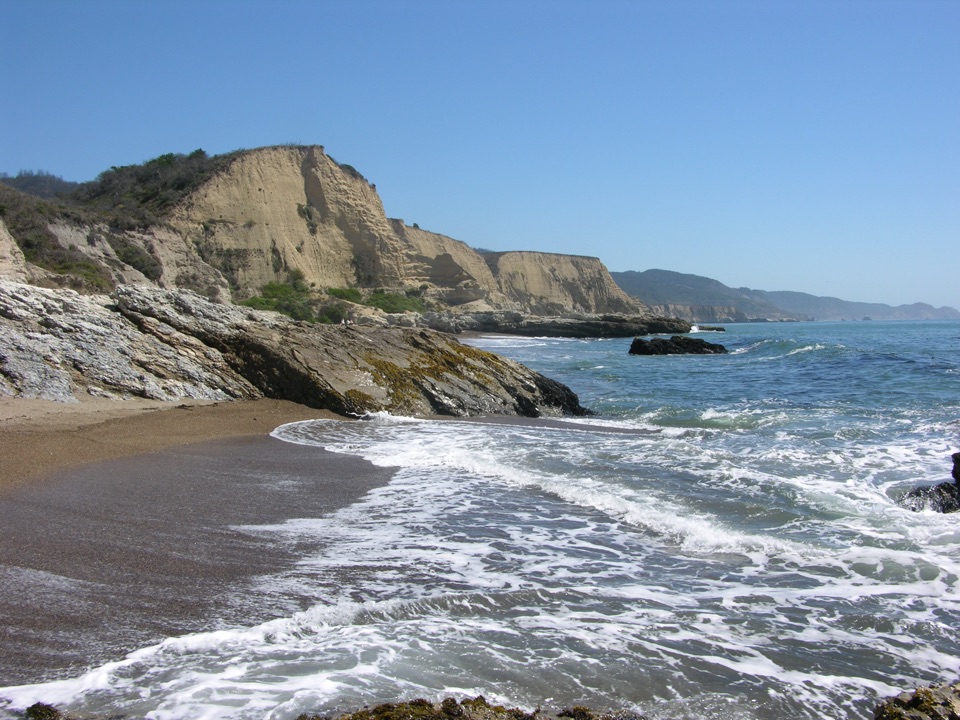
Wave-carved rocks and low-tide pools, two miles down a wild shore

Photo: National Park Service

Overview

About Sculptured Beach

Why stop

  • Namesake rock formations and tide pools at low tide
  • Quiet, rugged shoreline away from the main beach access

Heads up

  • Long hike with tide-dependent access
  • High surf and incoming tides can cut off the rocky south end

Map

Where it is

Loading the Point Reyes map
Full map
BeachSculptured Beach38.01006, -122.84472
Keep this map with you offline in the Parkwolf app

Plan your stop

Before you go

Best time to go

The area is open year round, but conditions vary a lot. Winter is wet and cool, spring is often windy, and summer commonly brings dense coastal fog with temperatures well below inland Point Reyes. Late September through early November is often the clearest stretch. Many visitors recommend starting early, both to line up with a low tide and to have the shoreline largely to yourself.

Getting there

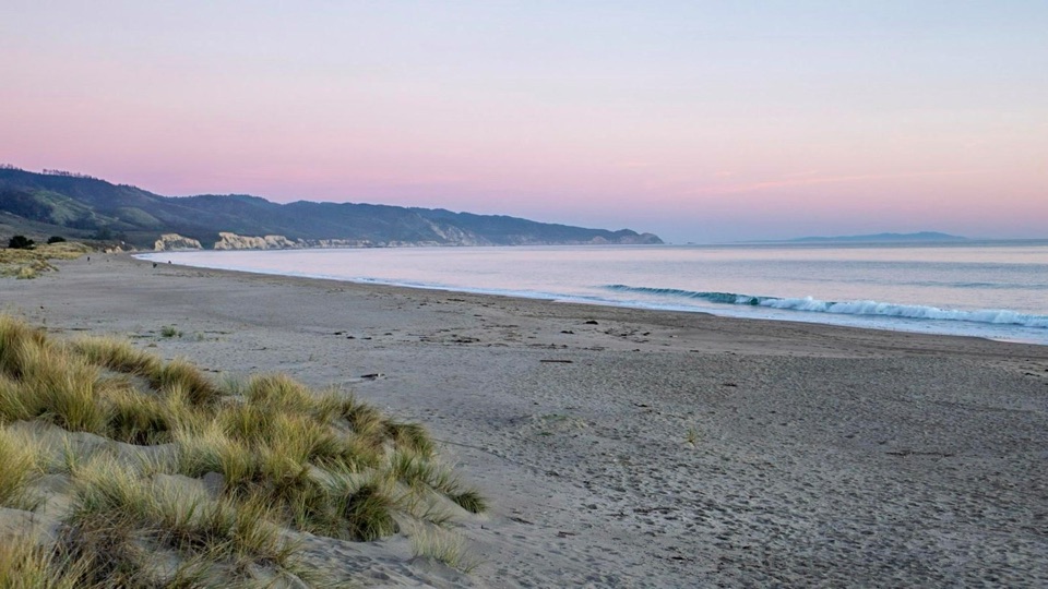
Limantour Beach is the closest place to park. From the parking area, walk about 440 yards (400 m) out to the beach, then turn southeast and follow the shore.

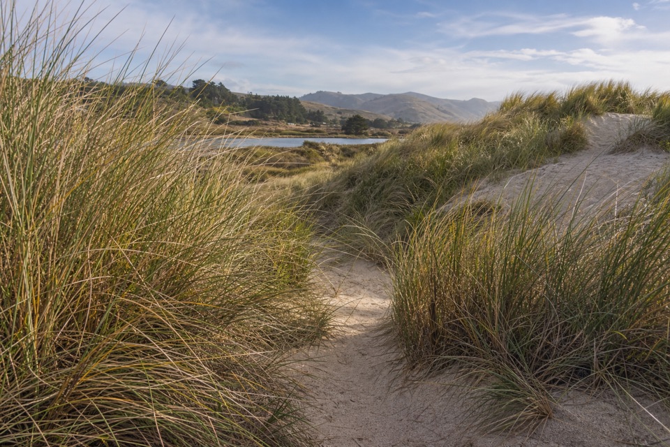
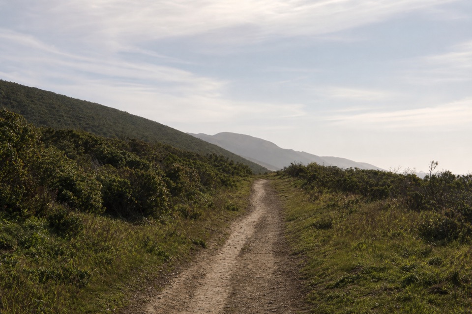
Plan on three to four hours round trip, plus extra time if you want to linger over the tidepools. The route passes through coastal scrub and grassland before reaching the rocky shoreline. Note that the short direct Sculptured Beach Trail was decommissioned after severe winter storm damage in 2022 and is no longer a maintained route, so ignore older directions pointing to it and use the beach walk from Limantour, the Coast Trail, the Laguna Trailhead, or Coast Campground instead. Coast Campground is roughly 0.8 miles (1.3 km) northwest.

  • From Limantour Beach parking: 5.4 miles / 8.6 km round trip
  • From the Laguna Trailhead: 6.6 miles / 10.6 km round trip
  • From the Coast Trailhead: 8.6 miles / 13.8 km round trip

4 active Point Reyes alerts

  • ClosureOld Tocaloma/Platform Bridge closed to vehiclesDo not drive across the Old Tocaloma/Platform Bridge; it is closed to all vehicular traffic until further notice.Official details
  • ClosurePalomarin Beach Trail closedPalomarin Beach Trail is closed to all visitors, employees, and residents until further notice; do not use the trail. - The trail is closed because unstable and failing sections have made it unsafe.Official details
See all 4 alerts
A park ranger sits on a dash-mounted phone, talking, as Parkwolf’s Tour Guide plays “Army Cutworm Moths: A Grizzly Bear Buffet” on Grand Loop Road below Dunraven Pass in Yellowstone
Parkwolf Tour GuideThe highest, rockiest slopes around here are a summer buffet for grizzly bears.

Point Reyes Tour Guide

Your drive to Sculptured Beach, narrated.

Parkwolf is a GPS audio tour guide for Point Reyes National Seashore. As you drive, it chimes in with what’s ahead: hidden gems, upcoming stops, history, geology, and wildlife, right through your car’s speakers.

More stories near here in the app

  • Limantour Beach and Spit
  • Laguna Trailhead and Coast Loop
  • Muddy Hollow Trailhead
  • Sky Trailhead and Mount Wittenberg
  • 61 audio storiesacross Point Reyes’s roads, triggered by GPS as you drive
  • Wildlife heatmapsfor Northern Elephant Seal, Grey Whale, Humpback Whale, and 13 more
  • Works offlinemaps, 65 trails, 41 places, and audio download before you lose signal
  • CarPlay readysimple controls built for the drive
★★★★★
“Fantastic app with many points of information… It’s great to just turn on while you’re driving and it gives you an audio tour of the national Park. We love it!!!!”
JMJamesApp Store review
Download Parkwolf on the App StoreGet Parkwolf on Google Play

4.7 from 8,600+ ratings

Guide

More about Sculptured Beach

Why make the walkSculptured Beach sits about two miles southeast of Limantour Beach inside the Phillip Burton…

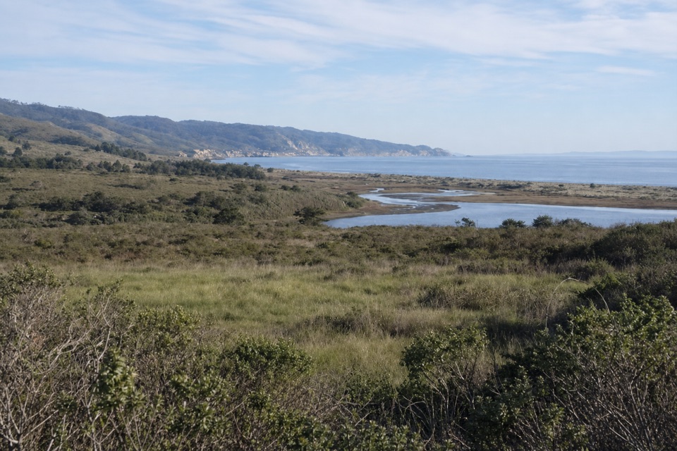
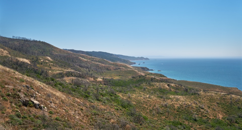
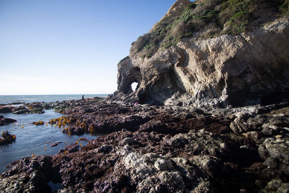
Sculptured Beach sits about two miles southeast of Limantour Beach inside the Phillip Burton Wilderness, and the distance is the point. Where the sand gives way to rock, the namesake sculptured formations line the shore, and at low tide the intertidal zone opens up with visible marine organisms in the pools and crevices. Visitors consistently describe it as quieter and more isolated than the easier-to-reach beaches, with rugged rock and open coastline as the reward for the effort.

Tides and safetyTides govern what you can actually see and where you can safely stand.

Tides govern what you can actually see and where you can safely stand.

  • Check the tide table before you go. The sculptured rocks are most exposed at low tide, and low tide also makes walking on the sand easier.
  • Explore the rocky promontories at the south end only on a low or outgoing tide. Incoming high tides have trapped visitors against the bluffs.
  • Hazardous surf, sneaker waves and rip currents are real risks here, and the ocean runs around 50°F (10°C), cold enough for hypothermia.
  • Travel farther around the rocky shoreline can be blocked by a substantial drop, so do not count on a continuous walk around the point.
  • After winter rains, two creeks cross the sand and can make beach walking wet.
What to bring and knowSturdy shoes for sand, rock and uneven terrain, plus more water than you think you need.
  • Sturdy shoes for sand, rock and uneven terrain, plus more water than you think you need. There are no food services at or beyond the trailheads.
  • Layers for wind and fog, since the coast stays cool even in summer.
  • Mobile reception is minimal to nonexistent in this area, so download or print what you need, including tide times.
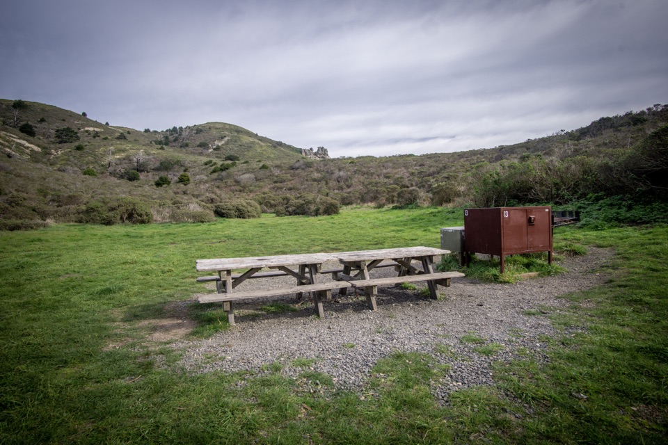
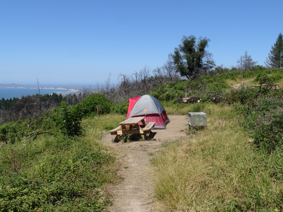
  • Pets are not permitted on Sculptured Beach. Camping on the beach is prohibited, though camping is available at Coast Campground under park rules. Fishing is allowed under park regulations.
  • Pack out everything you bring, and leave rocks, shells, fossils, flowers and artifacts where they are.

Wildlife

Wildlife in Point Reyes

All Point Reyes wildlife maps

Sighting maps show where each species has been reported across Point Reyes. Wildlife moves, so no sighting is guaranteed.

Keep exploring

Near Sculptured Beach

See it all on the map

Trails nearby

More stops nearby

Parkwolf’s Point Reyes ranking

Top sights in Point Reyes

All 41 places
  1. 1Point Reyes LighthouseSight
  2. 2Chimney RockSight
  3. 3Drakes BeachBeach
  4. 4Cypress Tree TunnelSight
  5. 5Alamere FallsSight
  6. 6Pierce Point RanchSight

Take Parkwolf to Point Reyes.

The audio tour guide for the drive, plus offline maps, trails, and wildlife heatmaps for when the signal drops.

4.7 from 8,600+ ratings

Download Parkwolf on the App StoreGet Parkwolf on Google Play