Rules to Know
Glass is prohibited. Do not collect shells, rocks, fossils, flowers, or artifacts. Keep your distance from wildlife. No drones and no metal detectors. Fishing is permitted. There is no camping and no overnight parking at the trailhead.
Beach · Point Reyes National Seashore
Short dune walk to a wide, wind-scoured surf beach
Overview
Map
Plan your stop

The highest, rockiest slopes around here are a summer buffet for grizzly bears.
Point Reyes Tour Guide
Parkwolf is a GPS audio tour guide for Point Reyes National Seashore. As you drive, it chimes in with what’s ahead: hidden gems, upcoming stops, history, geology, and wildlife, right through your car’s speakers.
Recorded for this place
Kehoe Beach“You're nearing Kehoe Beach Trailhead, where a short path beside the marsh crosses a dune to a wide Pacific beach. The walk is about one point two miles round trip, with loose sand at the end.”
Plays as you drive up to Kehoe Beach in the Parkwolf Point Reyes Tour Guide.
More stories near here in the app
“Fantastic app with many points of information… It’s great to just turn on while you’re driving and it gives you an audio tour of the national Park. We love it!!!!”


Guide
A 0.6-mile (about 881 m) earth trail runs beside Kehoe marsh and over a sand dune before opening onto the beach at the northern end of Point Reyes Beach. The recorded trail condition is good, and the walk is short, though carrying gear or moving with young children can make it feel longer.
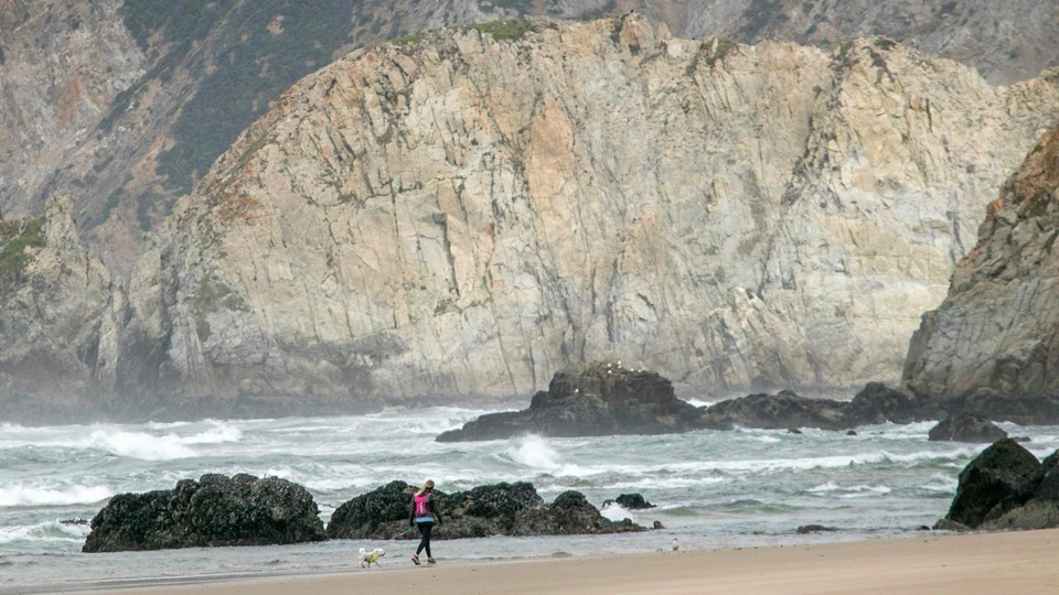
Turn right to see smooth Laird sandstone change abruptly to granite, the surface trace of a reverse fault. Turn left to follow the strand toward a stream entering the Pacific. In either direction the beach is long and wide, well suited to extended walks, photography, and late-day light.
The surf here is frequently large and water temperatures can sit near 50 F / 10 C. Sneaker waves, rip currents, and hypothermia are real hazards, and swimming and playing at the water's edge are unsafe. Keep well back from the wave zone and watch the water at all times.
Dogs are welcome on the trail and the north beach year-round on a leash no longer than 6 feet. The south side is closed to pets from March 1 through September 30 to protect habitat for the threatened western snowy plover.
Access is a roadside dirt pullout rather than a formal lot, and space is limited. The trailhead has a vault toilet and garbage cans. There are no facilities at the beach itself, so bring water and any supplies you will need.
This stretch is very windy and fully exposed, with no shade and rough surf. It can feel quieter than busier beaches on the peninsula, though that varies with the day and season. Dress in wind-resistant layers even when inland weather looks mild.
Wildlife
 2,552 sightingsNorthern Elephant SealMost seen around 11 AMSighting map
 127 sightingsGrey WhaleMost seen around noonSighting map
 109 sightingsHumpback WhaleMost seen around 10 AMSighting map
 29 sightingsSteller Sea LionMost seen around noonSighting map
 203 sightingsCalifornia Sea LionMost seen around noonSighting map
 352 sightingsHarbor SealMost seen around 7 AMSighting map
Sighting maps show where each species has been reported across Point Reyes. Wildlife moves, so no sighting is guaranteed.
Keep exploring
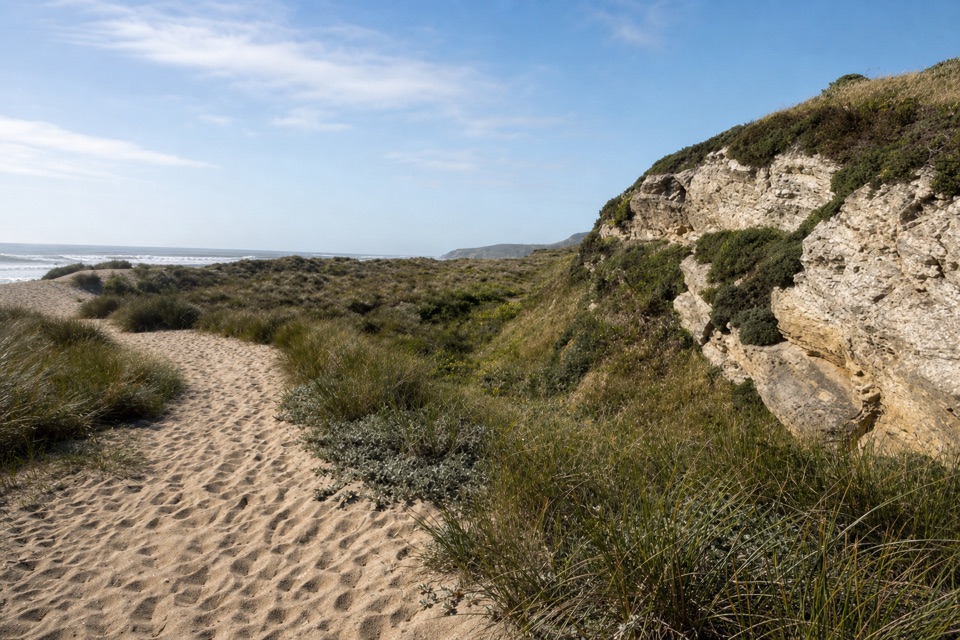 EasyKehoe Beach Trail1.2 mi · 1 hr · 0.6 mi awayA short dune crossing leads to a wild, surf-washed beach.
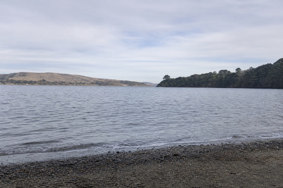 ModerateMarshall Beach Trail2.4 mi · 1.5 hr · 1.6 mi awayA ranch road drops through pasture to a small Tomales Bay cove.
 EasyAbbotts Lagoon Trail2.8 mi · 1.3 hr · 2.3 mi awayThree lagoons, a footbridge, and a sandy finish at Great Beach.
 ChallengingTomales Point Trail9.5 mi · 4.5 hr · 2.4 mi awayWalk a wild elk ridge to the Pacific end of the peninsula.
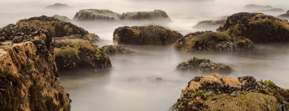 ModerateMcClures Beach Trail0.8 mi · 45 min · 2.4 mi awayA sandy ravine descent to a cove of surf and sea stacks.
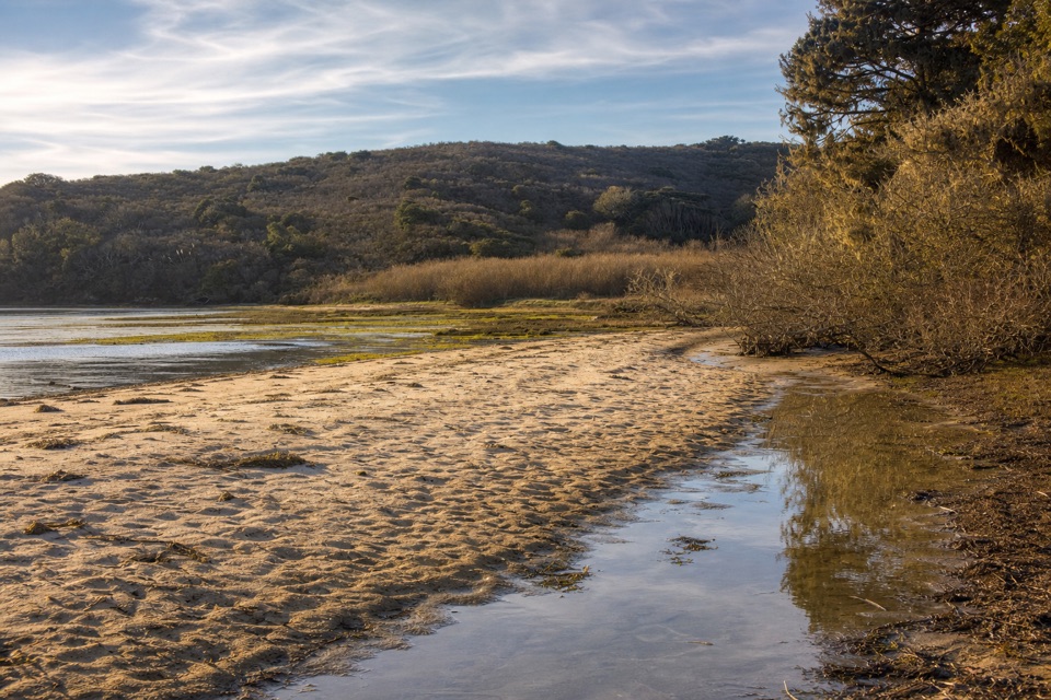 Beach · 1.9 mi awayTomales BeachKayak-in camp beach with vault toilets, so no wag bag needed
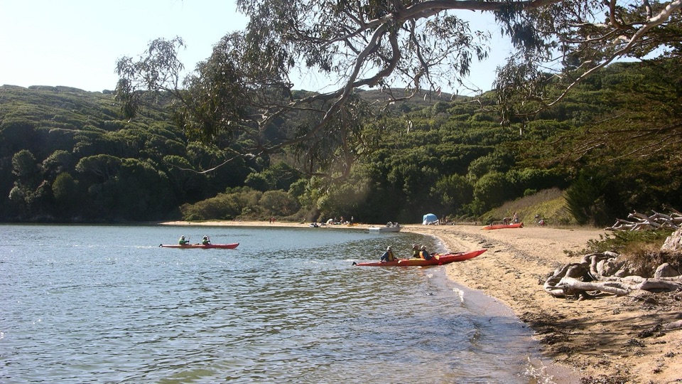 Beach · 1.9 mi awayMarshall Beach400-foot Tomales Bay strand most visitors reach by small watercraft
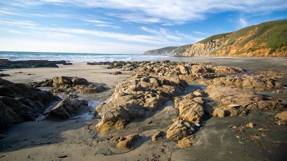 Beach · 2.4 mi awayMcClures BeachSteep sandy path drops to a wild cove between rocky headlands
 Sight · 2.4 mi awayPierce Point RanchWeathered 1858 dairy ranch you can wander, high above Tomales Bay
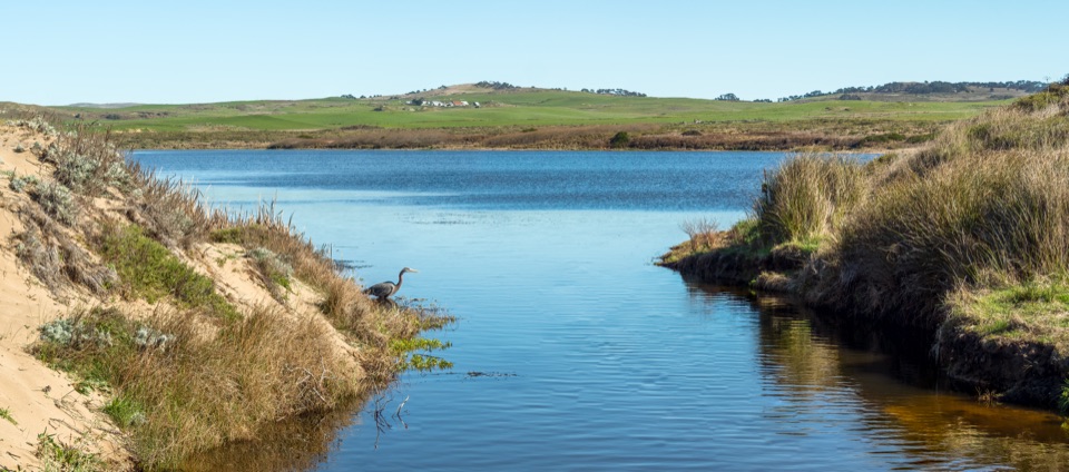 Sight · 2.6 mi awayAbbotts LagoonFlat walk past coastal lagoons and dunes to a wild ocean beach
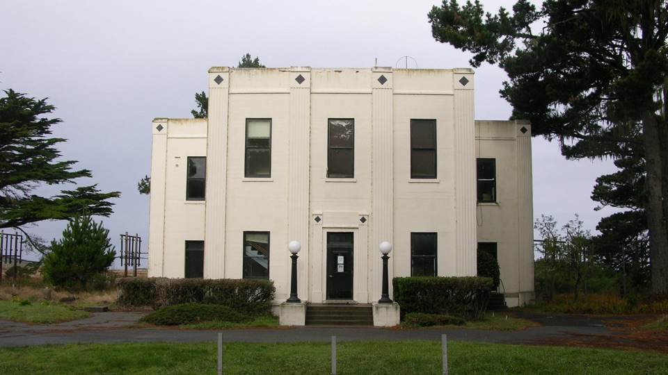 Sight · 4.1 mi awayHistoric KPH Maritime Radio Receiving StationRestored Morse code station at the end of a cypress tunnel
 Sight · 4.2 mi awayCypress Tree TunnelQuarter mile of 1930s Monterey cypress arched into a green tunnel
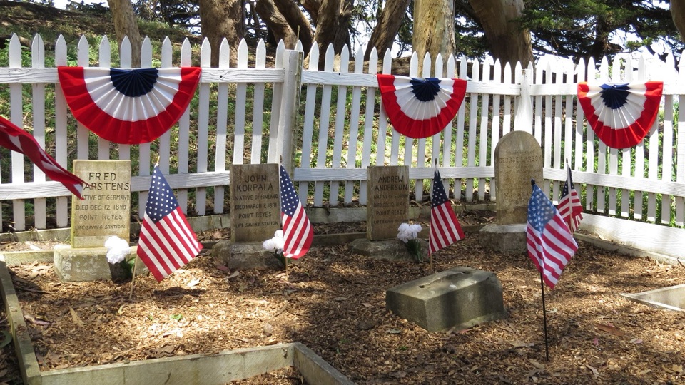 Sight · 4.3 mi awayHistoric Life-Saving Service CemeteryFour surfmen's graves behind a white picket fence in eucalyptus
Parkwolf’s Point Reyes ranking

The audio tour guide for the drive, plus offline maps, trails, and wildlife heatmaps for when the signal drops.