Parking
Dirt lot at the north end of L Ranch Road; reach it via 2.6 miles of gravel road from Pierce Point Road. Lot capacity was not found; no overnight parking.
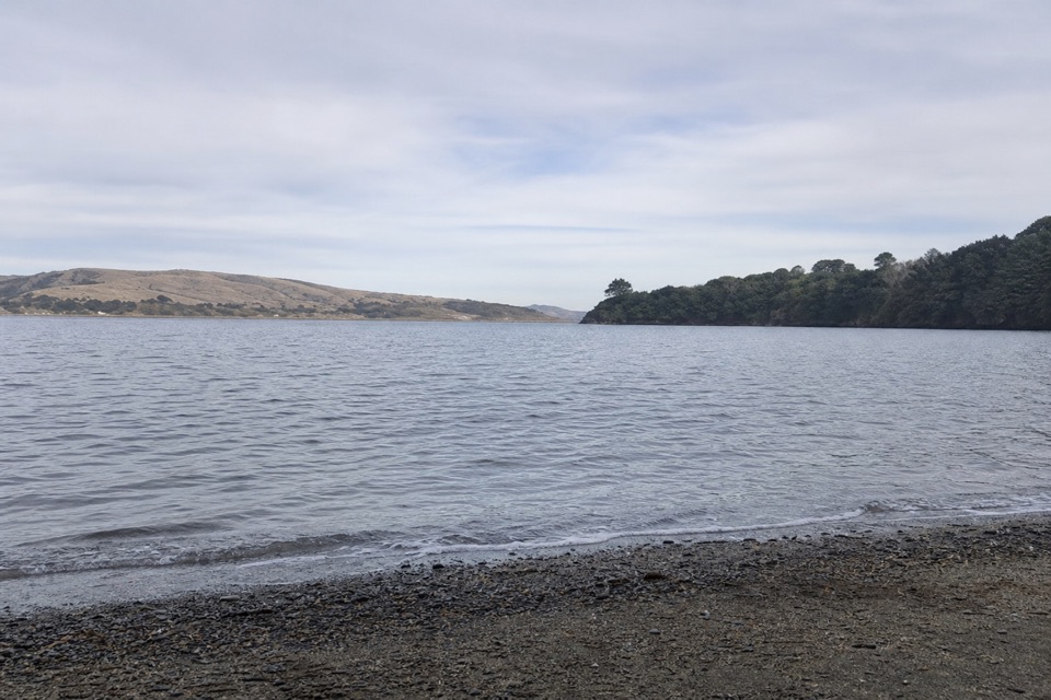
Point Reyes National Seashore, CA
A ranch road drops through pasture to a small Tomales Bay cove.
Overview
Map & elevation
Plan your hike

The highest, rockiest slopes around here are a summer buffet for grizzly bears.
Point Reyes Tour Guide
Parkwolf is a GPS audio tour guide for Point Reyes National Seashore. As you drive, it chimes in with what’s ahead: hidden gems, upcoming stops, history, geology, and wildlife, right through your car’s speakers.
Recorded for this area
Kehoe Beach“You're nearing Kehoe Beach Trailhead, where a short path beside the marsh crosses a dune to a wide Pacific beach. The walk is about one point two miles round trip, with loose sand at the end.”
Plays on the road 1.1 mi from the trailhead in the Parkwolf Point Reyes Tour Guide.
More stories near here in the app
“Fantastic app with many points of information… It’s great to just turn on while you’re driving and it gives you an audio tour of the national Park. We love it!!!!”


Trail guide
Marshall Beach Trail is a 2.4-mile out-and-back from the north end of L Ranch Road to a 400-foot-long beach on Tomales Bay: 1.2 miles each way along an old ranch road. It is a moderate beach walk, not a flat shoreline stroll. The walk usually takes 50 to 90 minutes; plan about 1.5 hours with a short beach stop. This is a day-use route, and overnight camping at the beach is for visitors arriving by water with a permit.
From the trailhead, a broad dirt track crosses open pasture beside a fence. The first half is mostly level. A gate comes about 0.4 mile in, before the track follows the fence's east side and bends northwest out of pasture into coastal scrub. It then swings southeast toward the bay. The final half gets progressively steeper and more rutted, losing about 300 feet in the last 0.4 mile. That descent is the return climb, so the short map distance still asks for steady legs on the way back.
An old ranch road forms the route, and park staff still use it to reach the beach's vault toilets. For the last 650 feet, the track passes through a pine grove before reaching the shore; the toilets are just to the right. Marshall Beach is a narrow, roughly 400-foot strip on Tomales Bay's west side. For a photo, include the pebbly edge with some water and the opposite shore to show the small cove rather than filling the frame with water alone.
Wildlife
 2,552 sightingsNorthern Elephant SealMost seen around 11 AMSighting map
 127 sightingsGrey WhaleMost seen around noonSighting map
 109 sightingsHumpback WhaleMost seen around 10 AMSighting map
 29 sightingsSteller Sea LionMost seen around noonSighting map
 203 sightingsCalifornia Sea LionMost seen around noonSighting map
 352 sightingsHarbor SealMost seen around 7 AMSighting map
Sighting maps show where each species has been reported across Point Reyes. Wildlife moves, so no sighting is guaranteed.
Keep exploring
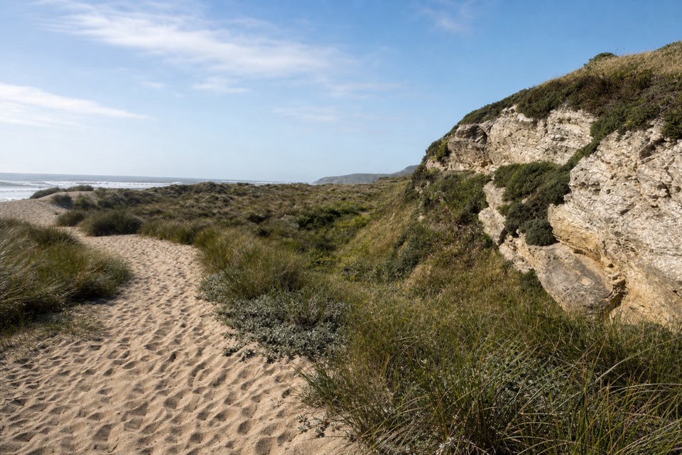 EasyKehoe Beach Trail1.2 mi · 1 hr · 1.1 mi awayA short dune crossing leads to a wild, surf-washed beach.
 EasyAbbotts Lagoon Trail2.8 mi · 1.3 hr · 2.3 mi awayThree lagoons, a footbridge, and a sandy finish at Great Beach.
 ChallengingTomales Point Trail9.5 mi · 4.5 hr · 3 mi awayWalk a wild elk ridge to the Pacific end of the peninsula.
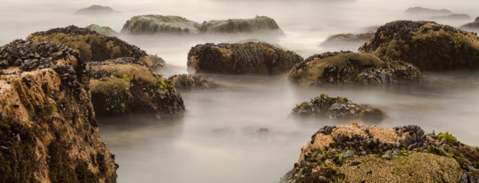 ModerateMcClures Beach Trail0.8 mi · 45 min · 3.2 mi awayA sandy ravine descent to a cove of surf and sea stacks.
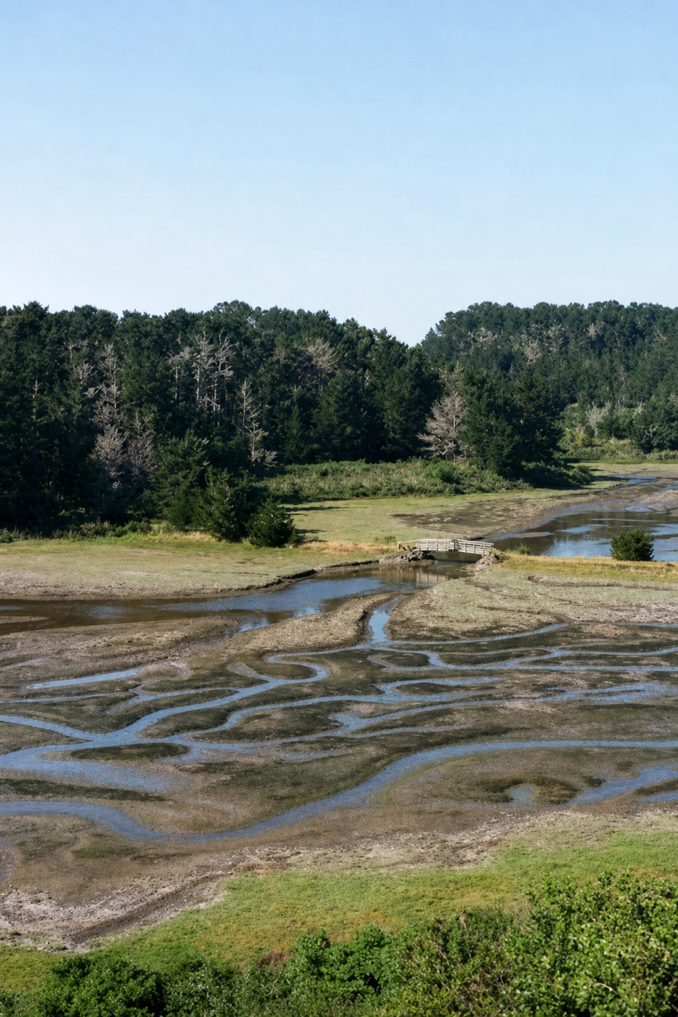 EasyEstero Trail to Home Bay2.4 mi · 1.3 hr · 5 mi awayA short grassland walk ends at a footbridge over Home Bay.
 ModerateDrakes Head via Estero Trail8.8 mi · 5 hr · 5 mi awayLong pasture miles end at a bluff above Drakes Estero.
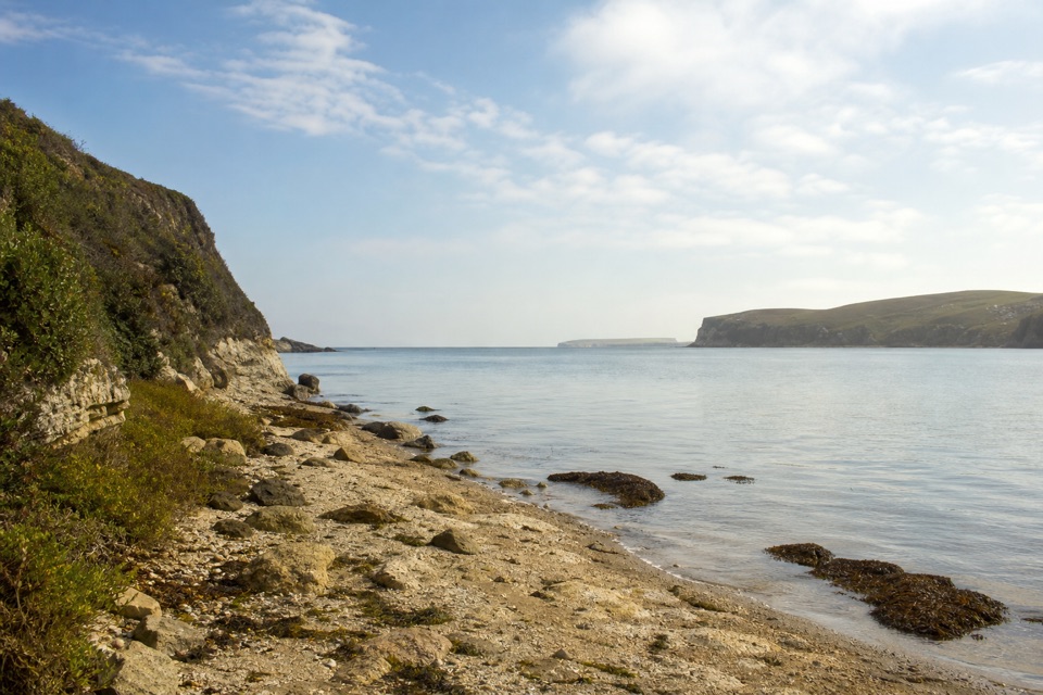 ModerateSunset Beach via Estero Trail7.8 mi · 4 hr · 5 mi awayEstuary views and working pasture lead to a rocky wetland shore.
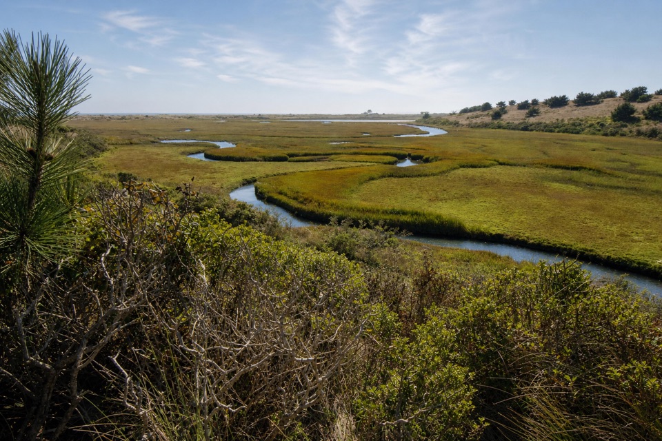 ModerateEstero–White Gate Loop11.4 mi · 5.5 hr · 5 mi awayTwo estuaries, marsh ponds, and a four-mile retrace.
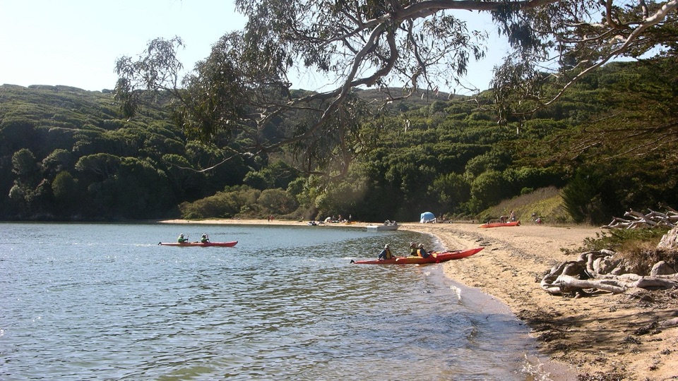 Beach · 0.6 mi awayMarshall Beach400-foot Tomales Bay strand most visitors reach by small watercraft
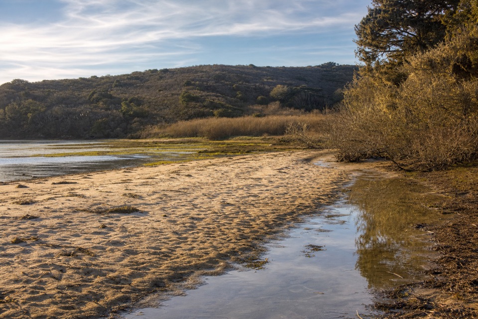 Beach · 1.3 mi awayTomales BeachKayak-in camp beach with vault toilets, so no wag bag needed
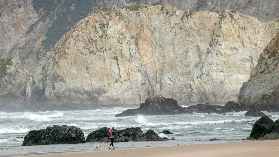 Beach · 1.6 mi awayKehoe BeachShort dune walk to a wide, wind-scoured surf beach
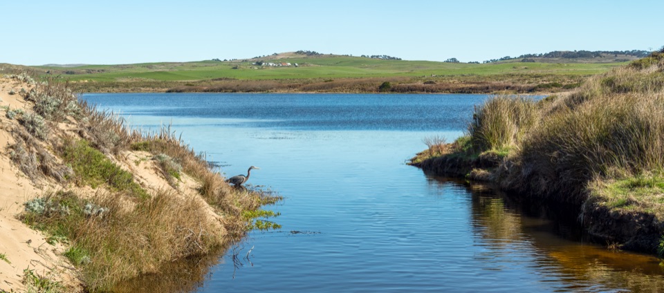 Sight · 2.9 mi awayAbbotts LagoonFlat walk past coastal lagoons and dunes to a wild ocean beach
 Sight · 3.1 mi awayPierce Point RanchWeathered 1858 dairy ranch you can wander, high above Tomales Bay
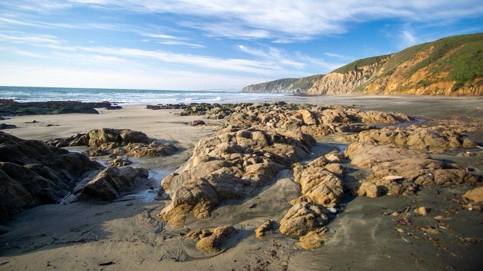 Beach · 3.4 mi awayMcClures BeachSteep sandy path drops to a wild cove between rocky headlands
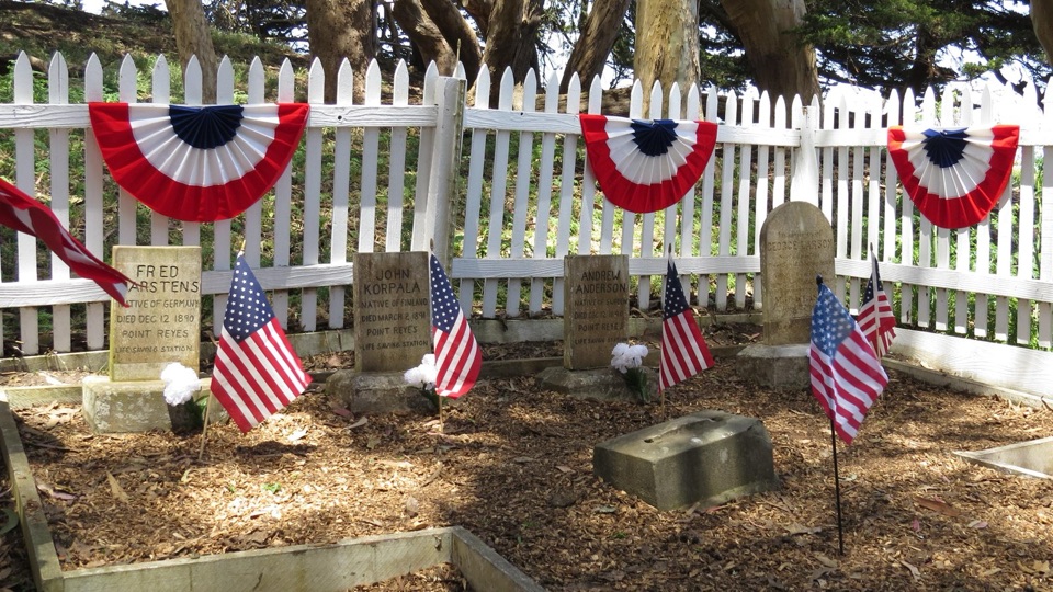 Sight · 4.2 mi awayHistoric Life-Saving Service CemeteryFour surfmen's graves behind a white picket fence in eucalyptus
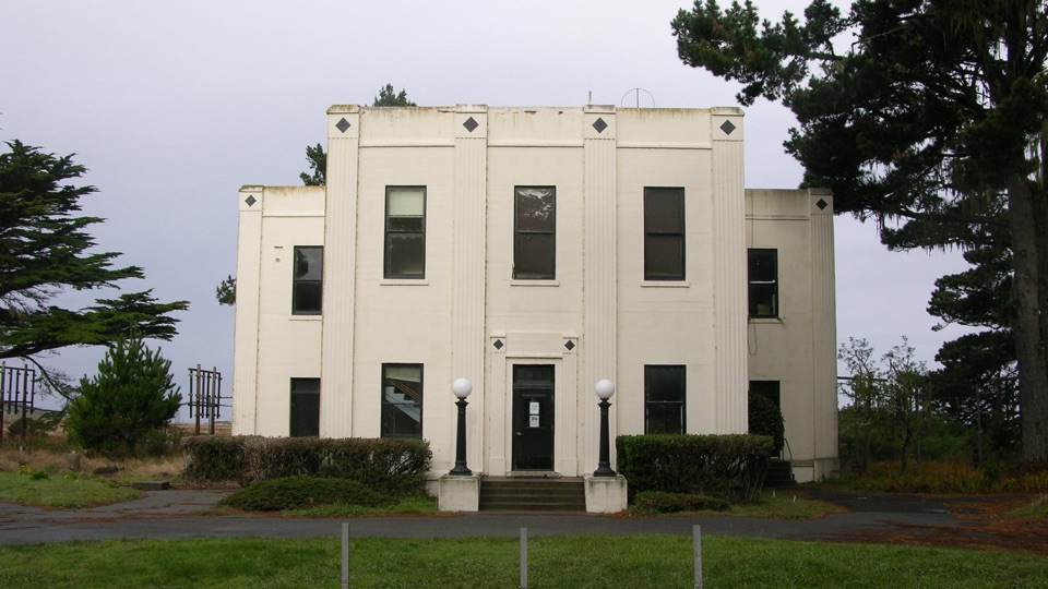 Sight · 4.3 mi awayHistoric KPH Maritime Radio Receiving StationRestored Morse code station at the end of a cypress tunnel
Parkwolf’s Point Reyes ranking

The audio tour guide for the drive, plus offline maps, trails, and wildlife heatmaps for when the signal drops.


