Parking
Unpaved shoulder parking on Pierce Point Road at the signed Kehoe Beach Trailhead, 5.6 miles from Sir Francis Drake Boulevard. Space is limited; park fully clear of the travel lane. Vault/composting toilet at the trailhead.
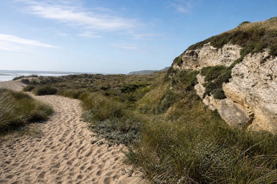
Point Reyes National Seashore, CA
A short dune crossing leads to a wild, surf-washed beach.
Overview
Map & elevation
Plan your hike

The highest, rockiest slopes around here are a summer buffet for grizzly bears.
Point Reyes Tour Guide
Parkwolf is a GPS audio tour guide for Point Reyes National Seashore. As you drive, it chimes in with what’s ahead: hidden gems, upcoming stops, history, geology, and wildlife, right through your car’s speakers.
Recorded for this trailhead
Kehoe Beach“You're nearing Kehoe Beach Trailhead, where a short path beside the marsh crosses a dune to a wide Pacific beach. The walk is about one point two miles round trip, with loose sand at the end.”
Plays as you drive up to this trailhead in the Parkwolf Point Reyes Tour Guide.
More stories near here in the app
“Fantastic app with many points of information… It’s great to just turn on while you’re driving and it gives you an audio tour of the national Park. We love it!!!!”


Trail guide
Kehoe Beach Trail is an easy 1.2-mile out-and-back from Pierce Point Road to the ocean at Kehoe Beach. The first half follows the edge of Kehoe Marsh; the sandy finish climbs a low dune before opening onto a broad, scrub-backed shore. It is a simple way to reach Point Reyes’s open coast without taking on one of the longer peninsula hikes. The walk takes about 25 to 40 minutes round trip. Give it around an hour overall with a stop at the beach, and longer if you want to walk the shoreline.
From the signed trailhead, a narrow, mostly level dirt track runs beside the marsh. At about half a mile, it widens and turns sandy. The small dune is the only real climb, but loose sand can slide underfoot; expect the final descent to be soft too. The mapped trail ends at the beach. Walking farther north along the beach or taking a marsh detour adds distance and is outside the 1.2-mile figure. At the shore, look north to a jagged rock outcrop and pale layers along the coast. For a photo, frame the curving sand path with the bluff and a strip of surf beyond.
Surf can be large here; the National Park Service warns against playing close to the water. Stay back from breaking waves and never turn your back on the ocean. Leashed dogs (six feet or shorter) are allowed on the trail and the north/right side of the beach year-round. The south/left beach is closed to pets from March 1 through September 30 for snowy plover habitat. Summer fog is common, especially July through September; clearer coastal days are more likely from late September into early November. No trail reservation is required.
Parking is limited to unpaved shoulders along Pierce Point Road, 5.6 miles from Sir Francis Drake Boulevard. Pull fully out of the travel lane. A vault/composting toilet is at the trailhead. The National Park Service lists no water source at this access, so bring what you need before leaving the main road.
Wildlife
 2,552 sightingsNorthern Elephant SealMost seen around 11 AMSighting map
 127 sightingsGrey WhaleMost seen around noonSighting map
 109 sightingsHumpback WhaleMost seen around 10 AMSighting map
 29 sightingsSteller Sea LionMost seen around noonSighting map
 203 sightingsCalifornia Sea LionMost seen around noonSighting map
 352 sightingsHarbor SealMost seen around 7 AMSighting map
Sighting maps show where each species has been reported across Point Reyes. Wildlife moves, so no sighting is guaranteed.
Keep exploring
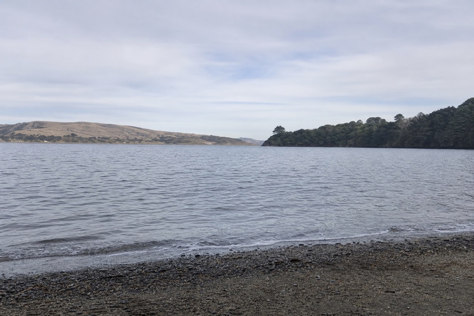 ModerateMarshall Beach Trail2.4 mi · 1.5 hr · 1.1 mi awayA ranch road drops through pasture to a small Tomales Bay cove.
 EasyAbbotts Lagoon Trail2.8 mi · 1.3 hr · 2 mi awayThree lagoons, a footbridge, and a sandy finish at Great Beach.
 ChallengingTomales Point Trail9.5 mi · 4.5 hr · 2.6 mi awayWalk a wild elk ridge to the Pacific end of the peninsula.
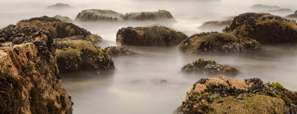 ModerateMcClures Beach Trail0.8 mi · 45 min · 2.7 mi awayA sandy ravine descent to a cove of surf and sea stacks.
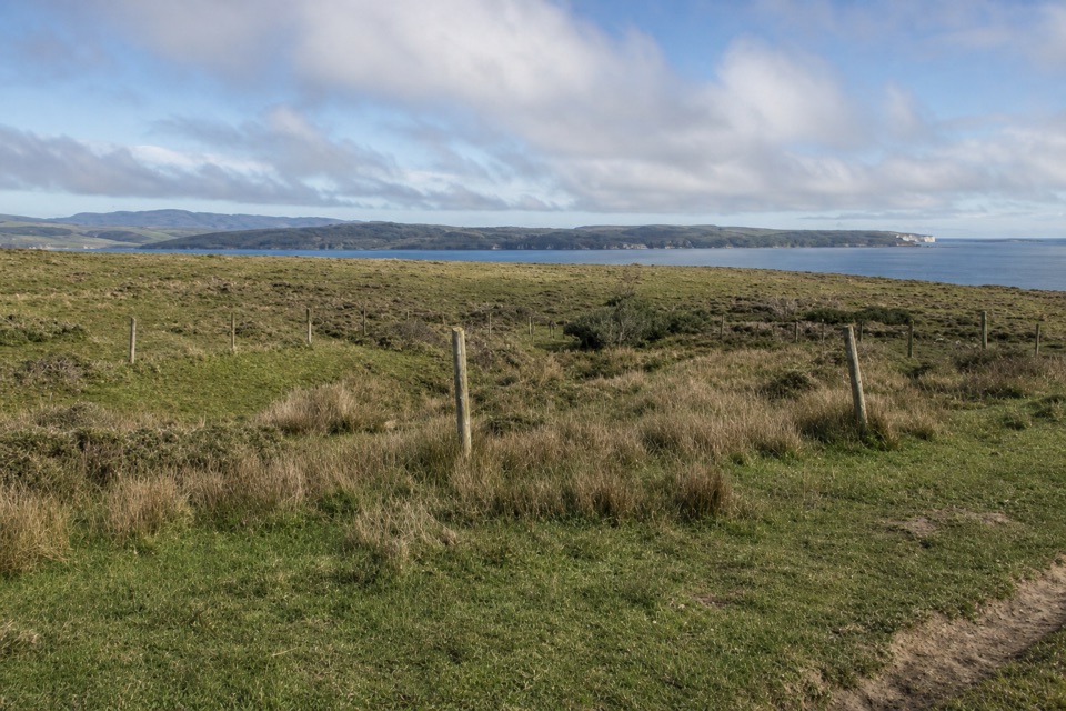 EasyBull Point Trail3.6 mi · 2 hr · 5.1 mi awayA level pasture walk to the grassy edge of Drakes Estero
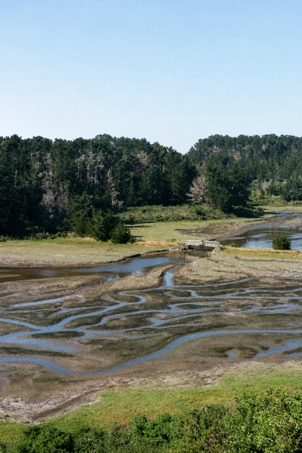 EasyEstero Trail to Home Bay2.4 mi · 1.3 hr · 5.1 mi awayA short grassland walk ends at a footbridge over Home Bay.
 ModerateDrakes Head via Estero Trail8.8 mi · 5 hr · 5.1 mi awayLong pasture miles end at a bluff above Drakes Estero.
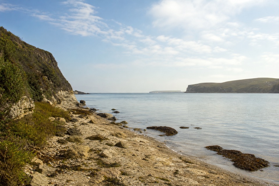 ModerateSunset Beach via Estero Trail7.8 mi · 4 hr · 5.1 mi awayEstuary views and working pasture lead to a rocky wetland shore.
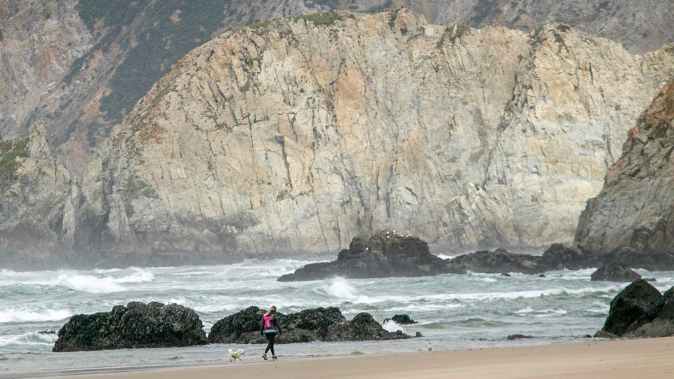 Beach · 0.6 mi awayKehoe BeachShort dune walk to a wide, wind-scoured surf beach
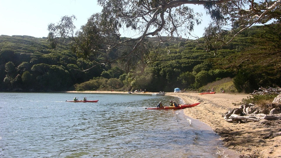 Beach · 1.5 mi awayMarshall Beach400-foot Tomales Bay strand most visitors reach by small watercraft
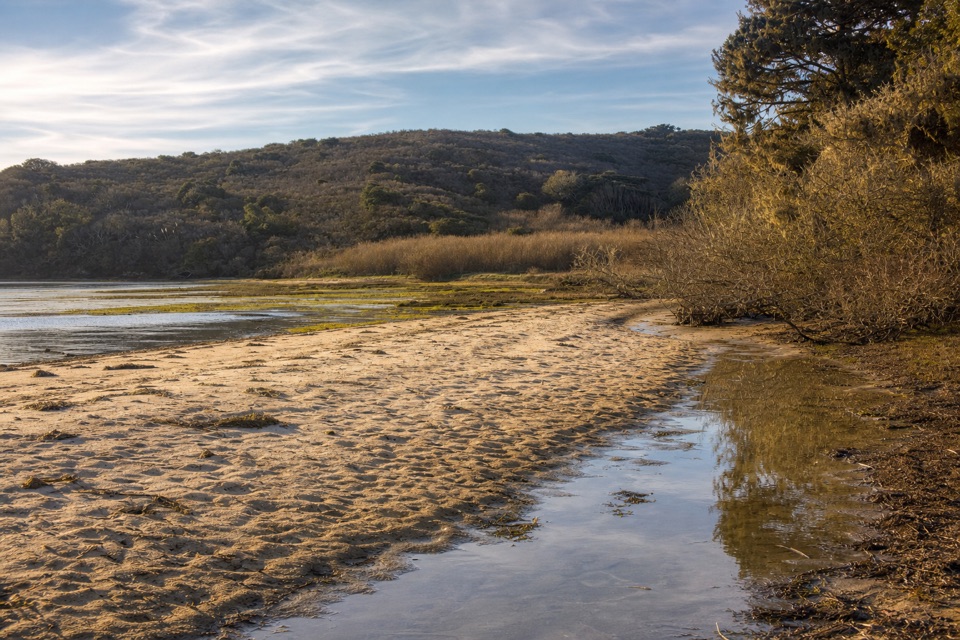 Beach · 1.7 mi awayTomales BeachKayak-in camp beach with vault toilets, so no wag bag needed
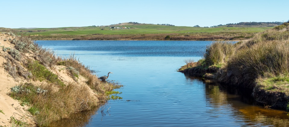 Sight · 2.5 mi awayAbbotts LagoonFlat walk past coastal lagoons and dunes to a wild ocean beach
 Sight · 2.7 mi awayPierce Point RanchWeathered 1858 dairy ranch you can wander, high above Tomales Bay
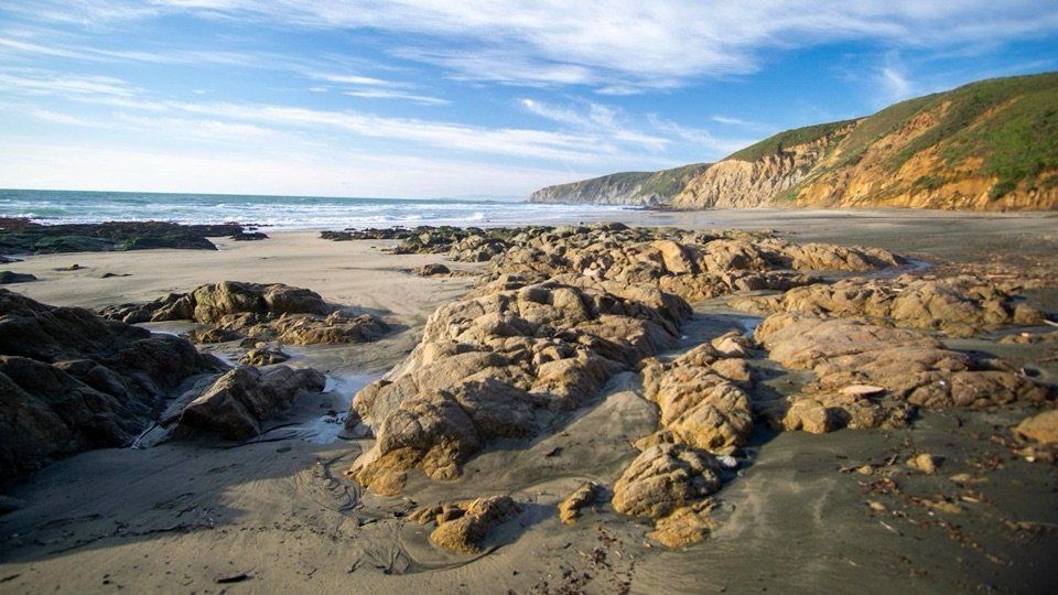 Beach · 2.8 mi awayMcClures BeachSteep sandy path drops to a wild cove between rocky headlands
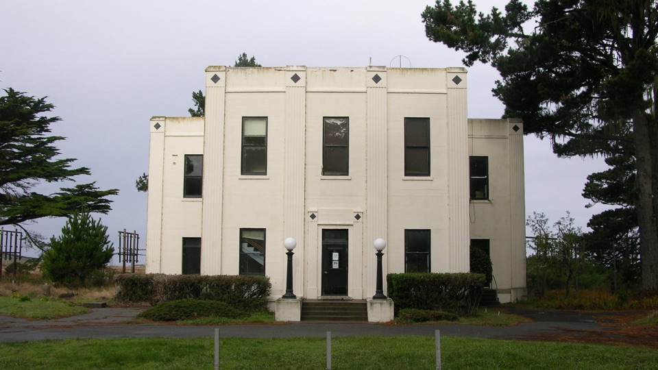 Sight · 4 mi awayHistoric KPH Maritime Radio Receiving StationRestored Morse code station at the end of a cypress tunnel
 Sight · 4.1 mi awayCypress Tree TunnelQuarter mile of 1930s Monterey cypress arched into a green tunnel
Parkwolf’s Point Reyes ranking

The audio tour guide for the drive, plus offline maps, trails, and wildlife heatmaps for when the signal drops.


