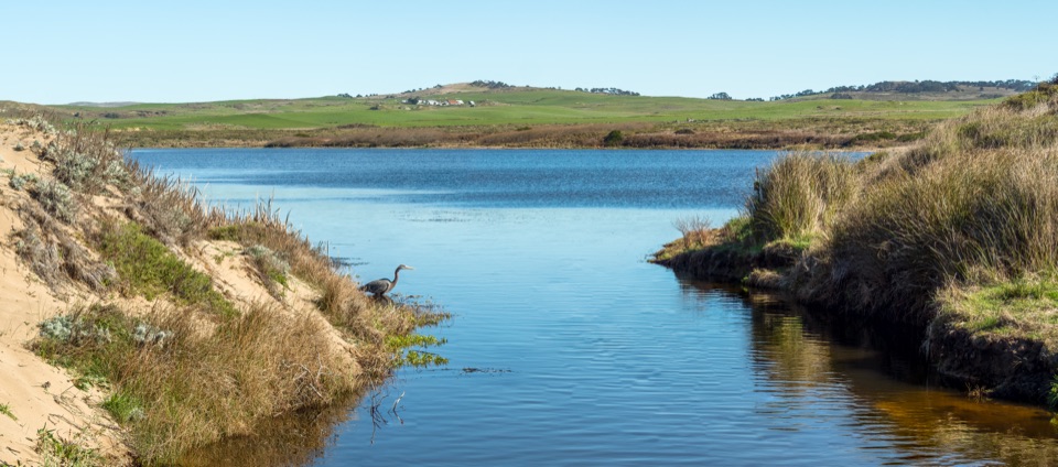
Abbotts Lagoon in Point Reyes National Seashore

#10 of 30 sights in Point Reyes

Sight · Point Reyes National Seashore

Abbotts Lagoon

Flat walk past coastal lagoons and dunes to a wild ocean beach

Photo: Wikimedia Commons
Type
Sight
Nearest trail
0.8 mi
Audio stories
4 nearby
  • Trailhead
  • Parking
  • Restrooms
  • Exhibit

Hear the audio tour

Abbotts Lagoon

Overview

About Abbotts Lagoon

Why stop

  • Lagoon, dunes and ocean beach in one walk
  • Strong seasonal birding and wildflower interest

Heads up

  • Exposed beach section with rough surf
  • Final sand and uneven sections take more effort than the mileage suggests
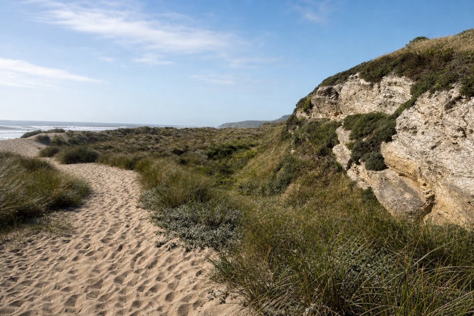
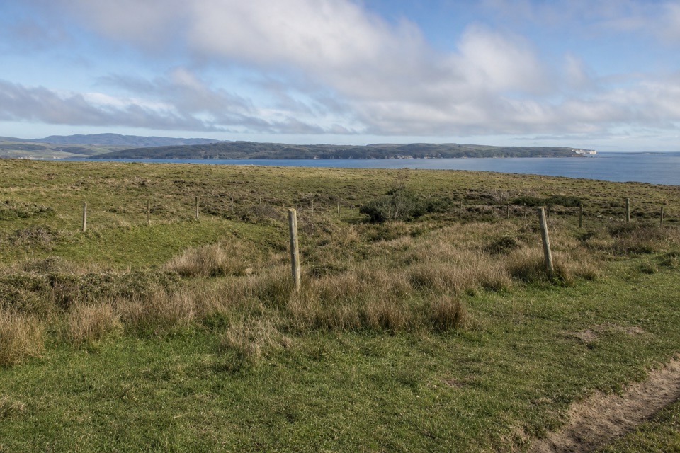
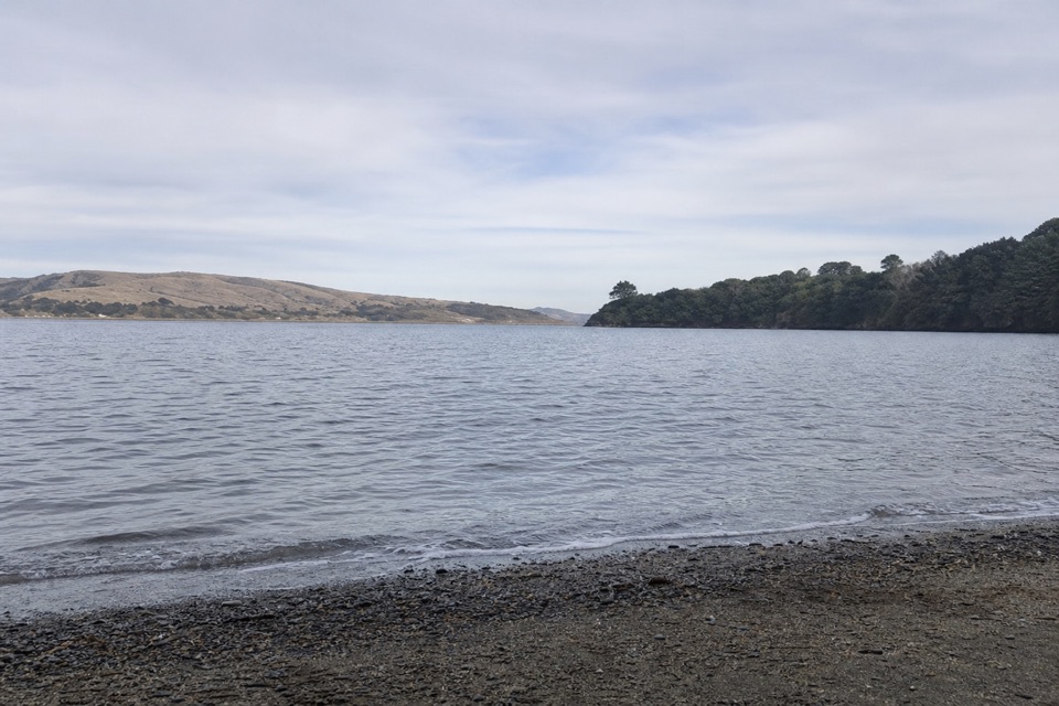
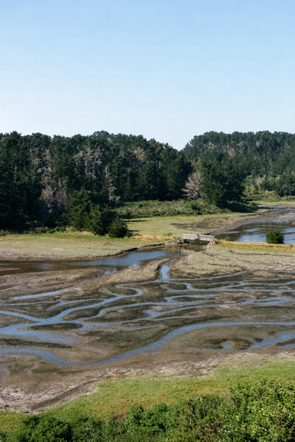
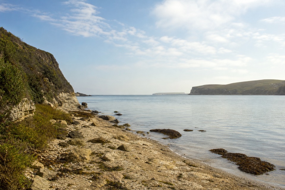
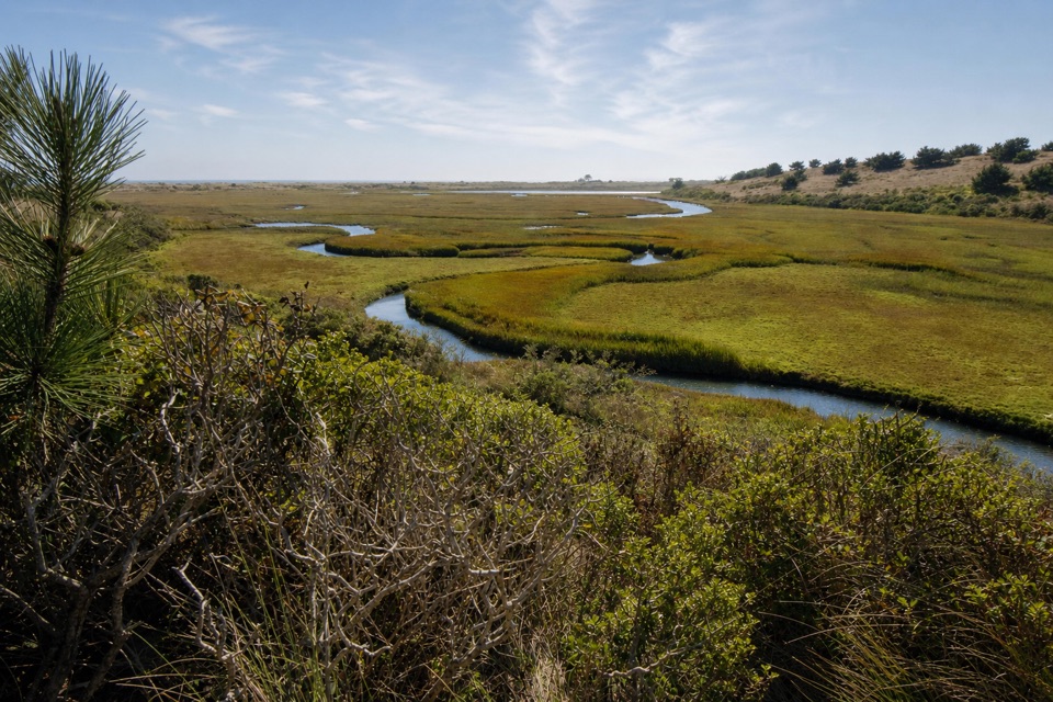
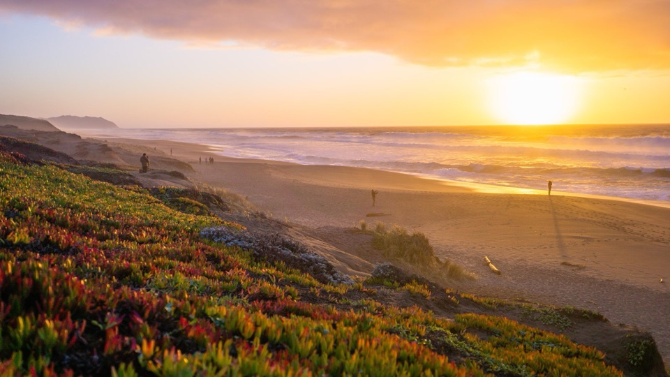
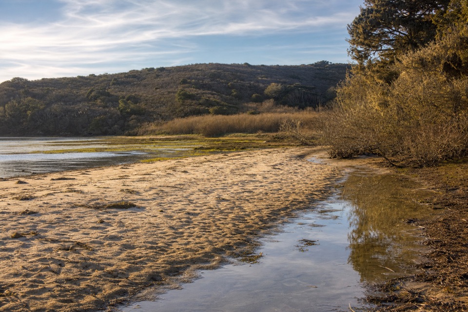
Abbotts Lagoon pairs open lagoon and marsh scenery with coastal scrub, sand dunes, and an ocean beach at the end, all on a flat, easy walk. It is one of the better known birding spots in Point Reyes, with migrating shorebirds in fall, wintering ducks, and spring wildflowers along the route. Peregrine falcons are sometimes seen, though as with all wildlife here, nothing is guaranteed.
Parkwolf’s verdictWhy stop here

Map

Where it is

Loading the Point Reyes map
Full map
SightAbbotts Lagoon38.11796, -122.94831
Keep this map with you offline in the Parkwolf app

Plan your stop

Before you go

Best time to go

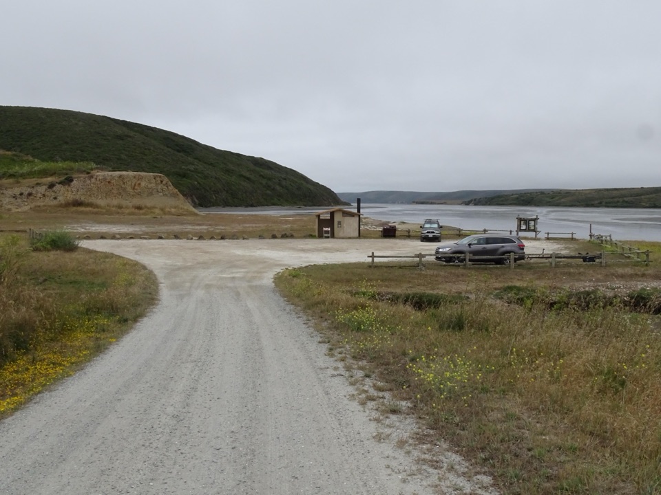
Fall and winter are strongest for shorebirds and waterfowl; spring brings wildflowers. Allow 1 to 2 hours for the walk to the beach and back, longer if you stop to watch birds. The dirt and gravel parking lot holds about 40 vehicles and can fill on busy weekends, so an earlier start helps.

Rules and safety

Pets are not permitted on the trail. Bicycles are allowed only on the first 0.9 miles to the footbridge and not beyond it; e-bikes are prohibited. Horses and pack animals are permitted. Drones are prohibited throughout the seashore, and glass containers are not allowed on beaches or within 50 feet of the lagoon.

The dunes are habitat for the threatened western snowy plover. From March 1 through September 30, stay out of the southern dunes of the westernmost lagoon, avoid disturbing birds, and do not fly kites or kiteboard there.

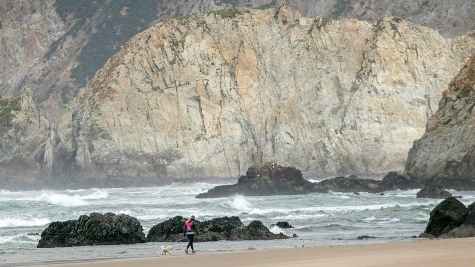
At the ocean, the surf is frequently large and swimming is unsafe. Watch for sneaker waves, rip currents, and cold-water hypothermia, and keep well back from the water's edge.

4 active Point Reyes alerts

  • ClosureOld Tocaloma/Platform Bridge closed to vehiclesDo not drive across the Old Tocaloma/Platform Bridge; it is closed to all vehicular traffic until further notice.Official details
  • ClosurePalomarin Beach Trail closedPalomarin Beach Trail is closed to all visitors, employees, and residents until further notice; do not use the trail. - The trail is closed because unstable and failing sections have made it unsafe.Official details
See all 4 alerts
A park ranger sits on a dash-mounted phone, talking, as Parkwolf’s Tour Guide plays “Army Cutworm Moths: A Grizzly Bear Buffet” on Grand Loop Road below Dunraven Pass in Yellowstone
Parkwolf Tour GuideThe highest, rockiest slopes around here are a summer buffet for grizzly bears.

Point Reyes Tour Guide

Your drive to Abbotts Lagoon, narrated.

Parkwolf is a GPS audio tour guide for Point Reyes National Seashore. As you drive, it chimes in with what’s ahead: hidden gems, upcoming stops, history, geology, and wildlife, right through your car’s speakers.

Recorded for this place

Abbotts Lagoon
0:00 / 0:26
“Abbotts Lagoon Trailhead is coming up, with a mostly level walk past three lagoons that shift from fresh water inland to saltier water near the sea.”

Plays as you drive up to Abbotts Lagoon in the Parkwolf Point Reyes Tour Guide.

More stories near here in the app

  • Why the Dunes Need to Move
  • Cypress Tree Tunnel and KPH Station
  • The Raptor That Hovers
  • Drakes Estero Kayak Launch
  • 61 audio storiesacross Point Reyes’s roads, triggered by GPS as you drive
  • Wildlife heatmapsfor Northern Elephant Seal, Grey Whale, Humpback Whale, and 13 more
  • Works offlinemaps, 65 trails, 41 places, and audio download before you lose signal
  • CarPlay readysimple controls built for the drive
★★★★★
“Fantastic app with many points of information… It’s great to just turn on while you’re driving and it gives you an audio tour of the national Park. We love it!!!!”
JMJamesApp Store review
Download Parkwolf on the App StoreGet Parkwolf on Google Play

4.7 from 8,600+ ratings

Guide

More about Abbotts Lagoon

The routeThe trail starts at the trailhead on Pierce Point Road.

The trail starts at the trailhead on Pierce Point Road. It is about a 2-mile round trip to the footbridge that crosses the stream between the two lagoons, and about a 2.8-mile round trip to the ocean, roughly 1.5 miles each way through coastal scrub, over the bridge, and across sand dunes. The terrain varies as you go, and some sections can feel narrower or rougher underfoot than the wide first stretch.

What to bringDrinking water, since no water service is available at this stop
  • Drinking water, since no water service is available at this stop
  • Wind and layer protection, as the beach end is exposed and often windy
  • Binoculars for the lagoons and dunes
  • Sturdy shoes for sand and uneven trail sections
At the trailheadFacilities include a vault or composting toilet, an information kiosk with interpretive…

Facilities include a vault or composting toilet, an information kiosk with interpretive exhibits, and trash and recycling. Camping and overnight parking are not allowed here.

Honest drawbacksThis is a walk rather than a viewpoint, so the payoff takes time on foot.

This is a walk rather than a viewpoint, so the payoff takes time on foot. Wildlife activity varies by day and season, the beach can be windy and unwelcoming in rough weather, and parking is limited.

Wildlife

Wildlife in Point Reyes

All Point Reyes wildlife maps

Sighting maps show where each species has been reported across Point Reyes. Wildlife moves, so no sighting is guaranteed.

Keep exploring

Near Abbotts Lagoon

See it all on the map

Trails nearby

More stops nearby

Parkwolf’s Point Reyes ranking

Top sights in Point Reyes

All 41 places
  1. 1Point Reyes LighthouseSight
  2. 2Chimney RockSight
  3. 3Drakes BeachBeach
  4. 4Cypress Tree TunnelSight
  5. 5Alamere FallsSight
  6. 6Pierce Point RanchSight

Take Parkwolf to Point Reyes.

The audio tour guide for the drive, plus offline maps, trails, and wildlife heatmaps for when the signal drops.

4.7 from 8,600+ ratings

Download Parkwolf on the App StoreGet Parkwolf on Google Play