McClures Beach Trail in Point Reyes National Seashore

Point Reyes National Seashore, CA

McClures Beach Trail

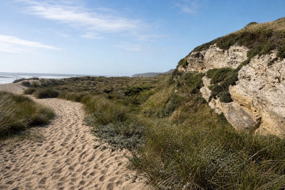
A sandy ravine descent to a cove of surf and sea stacks.

Photo: Wikimedia Commons
Length
0.8mi
Time
45min
Elev. change
213ft
Difficulty
Moderate
  • No dogs
  • High point 232 ft
  • #17 of 65 in Point Reyes

Hear the audio tour

McClures Beach Cove

Overview

About McClures Beach Trail

Why go

  • A quick descent to a cove with offshore sea stacks
  • Spring wildflowers line the ravine

Heads up

  • Steep, sandy climb back from the beach
  • Powerful surf and tide-limited access to the south rocks

Map & elevation

The route

Loading the Point Reyes map
Full map
Elevation18–232 ft
TrailheadMcClures Beach Trailhead38.18847, -122.95818
Keep this map with you offline in the Parkwolf app

Plan your hike

Before you go

Parking

Use the paved McClures Beach Trailhead lot at the end of Pierce Point Road, west of historic Pierce Ranch. It holds about 25 vehicles and may fill by 10 a.m. on busy weekends and holidays. Buses and RVs have difficulty turning around; a vault toilet is available.

Safety

The sandy trail is moderately steep, and the return climbs back out of the ravine. Pacific surf can be dangerous; swimming is not recommended. The rocky passage at the south end is tide-dependent, and pets are prohibited.

4 active Point Reyes alerts

  • ClosureOld Tocaloma/Platform Bridge closed to vehiclesDo not drive across the Old Tocaloma/Platform Bridge; it is closed to all vehicular traffic until further notice.Official details
  • ClosurePalomarin Beach Trail closedPalomarin Beach Trail is closed to all visitors, employees, and residents until further notice; do not use the trail. - The trail is closed because unstable and failing sections have made it unsafe.Official details
See all 4 alerts
A park ranger sits on a dash-mounted phone, talking, as Parkwolf’s Tour Guide plays “Army Cutworm Moths: A Grizzly Bear Buffet” on Grand Loop Road below Dunraven Pass in Yellowstone
Parkwolf Tour GuideThe highest, rockiest slopes around here are a summer buffet for grizzly bears.

Point Reyes Tour Guide

Your drive to McClures Beach Trail, narrated.

Parkwolf is a GPS audio tour guide for Point Reyes National Seashore. As you drive, it chimes in with what’s ahead: hidden gems, upcoming stops, history, geology, and wildlife, right through your car’s speakers.

Recorded for this trailhead

McClures Beach Cove
0:00 / 0:33
“You're approaching the McClures Beach trailhead; the beach is a steep, sandy four-tenths of a mile below. The path follows a creek through a ravine, where iris and other flowers bloom in spring and early summer.”

Plays as you drive up to this trailhead in the Parkwolf Point Reyes Tour Guide.

More stories near here in the app

  • Pierce Point Ranch and Tomales Point
  • The Beach Nursery You Might Miss
  • Kehoe Beach
  • Why the Dunes Need to Move
  • 61 audio storiesacross Point Reyes’s roads, triggered by GPS as you drive
  • Wildlife heatmapsfor Northern Elephant Seal, Grey Whale, Humpback Whale, and 13 more
  • Works offlinemaps, 65 trails, 41 places, and audio download before you lose signal
  • CarPlay readysimple controls built for the drive
★★★★★
“Fantastic app with many points of information… It’s great to just turn on while you’re driving and it gives you an audio tour of the national Park. We love it!!!!”
JMJamesApp Store review
Download Parkwolf on the App StoreGet Parkwolf on Google Play

4.7 from 8,600+ ratings

Trail guide

Hiking McClures Beach Trail

A short route to the surfMcClures Beach Trail is a 0.

McClures Beach Trail is a 0.8-mile out-and-back from the trailhead to McClures Beach and back, about 0.4 mile each way. It drops from the end of Pierce Point Road through a broad ravine to a small cove facing the Pacific, ringed by rocky headlands and offshore sea stacks. The coast is the reward, and the walk is short enough to fit between stops elsewhere in Point Reyes. But the mileage can fool you: the descent is moderately steep and sandy, so the way back is a steady climb. Allow about 45 minutes for the hike and closer to an hour if you want to spend time on the beach.

Follow the creek to the beachThe upper path crosses loose sand on old dune material; lower down, it changes to decomposed…

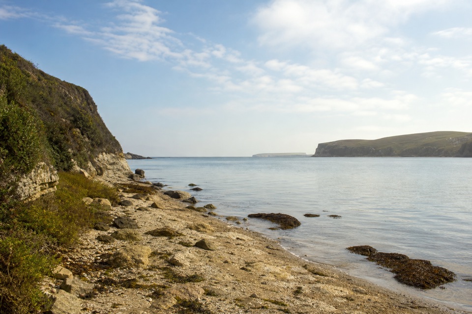
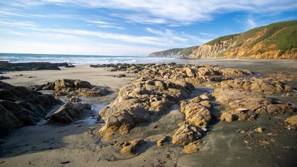
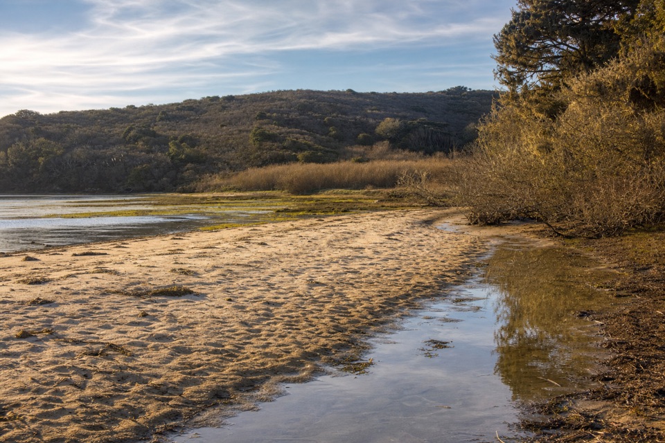
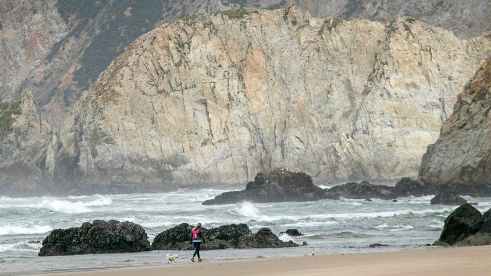
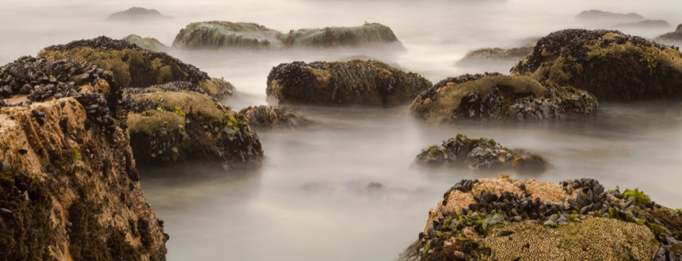
The upper path crosses loose sand on old dune material; lower down, it changes to decomposed granite and winds beside a creek through the ravine. Spring and early summer bring wild radish, iris and gumplant along its banks. The trail ends at an isolated cove open to Pacific surf, with sea stacks offshore and rocky headlands to either side. The main beach is the turnaround. A narrow passage leads toward small sea caves at the south end, but that stretch is tide-dependent and needs low or outgoing water; it is an optional shoreline wander, not part of the trail distance. For a photo, crouch near the mussel-covered rocks and keep the offshore stacks in view behind them.

Parking and shore safetyStart at the paved McClures Beach Trailhead lot at the end of Pierce Point Road, west of…

Start at the paved McClures Beach Trailhead lot at the end of Pierce Point Road, west of historic Pierce Ranch. It holds about 25 vehicles and can fill by 10 a.m. on busy weekends and holidays; a vault toilet is there. Buses and RVs are difficult to turn around. No food or drinking water is listed at the trailhead, so bring what you need. Pets are not permitted on the trail or beach. The surf is powerful and swimming is not recommended. Keep clear of the waterline in rough surf, and do not continue around the rocky headlands unless the tide is low or outgoing.

Wildlife

Wildlife in Point Reyes

All Point Reyes wildlife maps

Sighting maps show where each species has been reported across Point Reyes. Wildlife moves, so no sighting is guaranteed.

Keep exploring

Near McClures Beach Trail

See it all on the map

Trails that start nearby

Places near the trailhead

Parkwolf’s Point Reyes ranking

Top-rated trails in Point Reyes

All 65 trails
  1. 1Tomales Point TrailChallenging · 9.5 mi
  2. 2Alamere Falls via Palomarin and Wildcat BeachChallenging · 13.2 mi
  3. 3Chimney Rock TrailEasy · 1.8 mi
  4. 4Abbotts Lagoon TrailEasy · 2.8 mi
  5. 5Bear Valley Trail to Miller PointModerate · 9 mi
  6. 6Drakes Head via Estero TrailModerate · 8.8 mi

Take Parkwolf to Point Reyes.

The audio tour guide for the drive, plus offline maps, trails, and wildlife heatmaps for when the signal drops.

4.7 from 8,600+ ratings

Download Parkwolf on the App StoreGet Parkwolf on Google Play