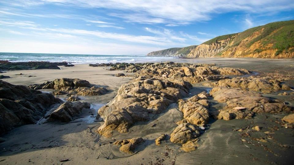
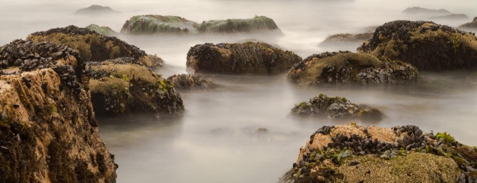
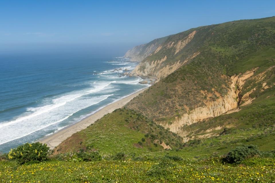
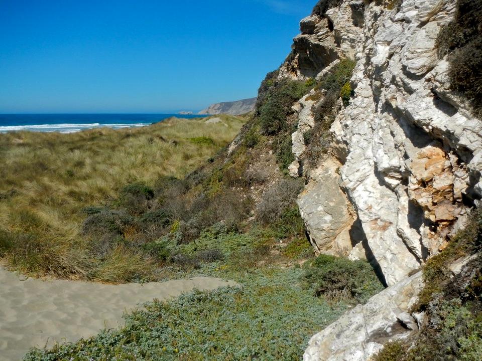
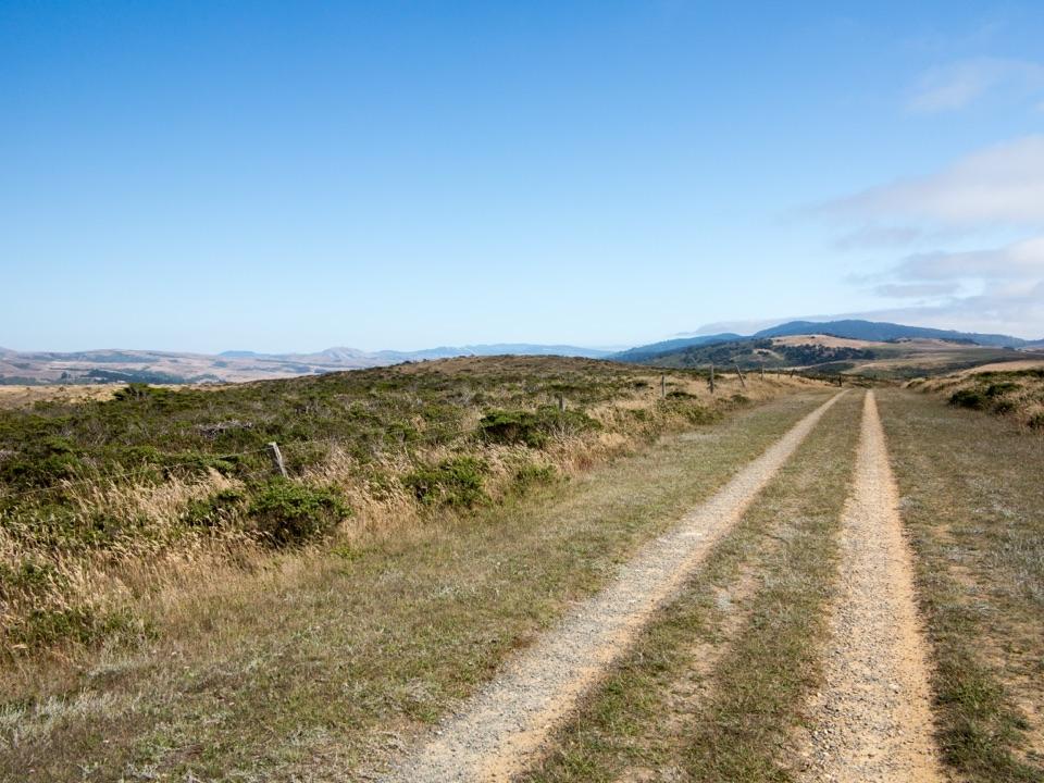
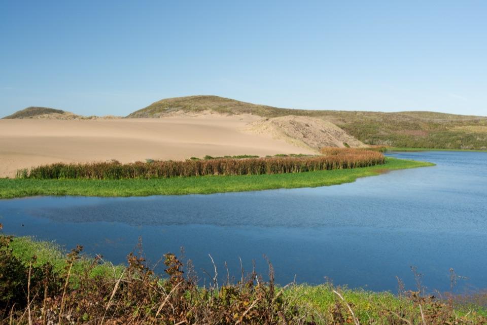
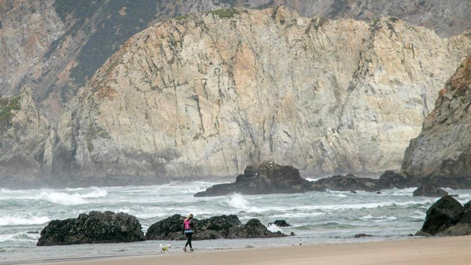
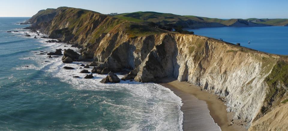
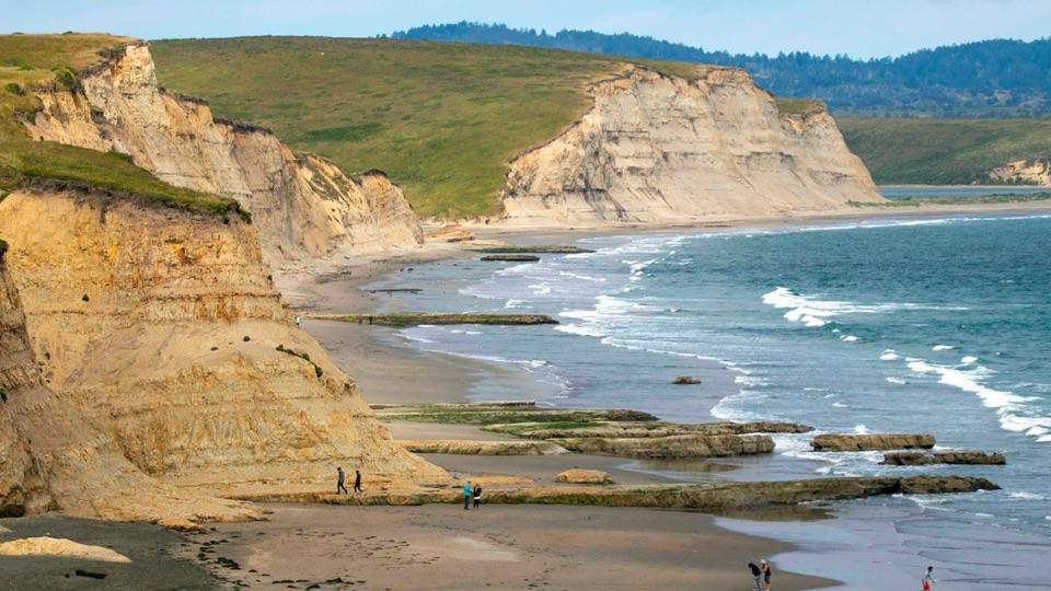
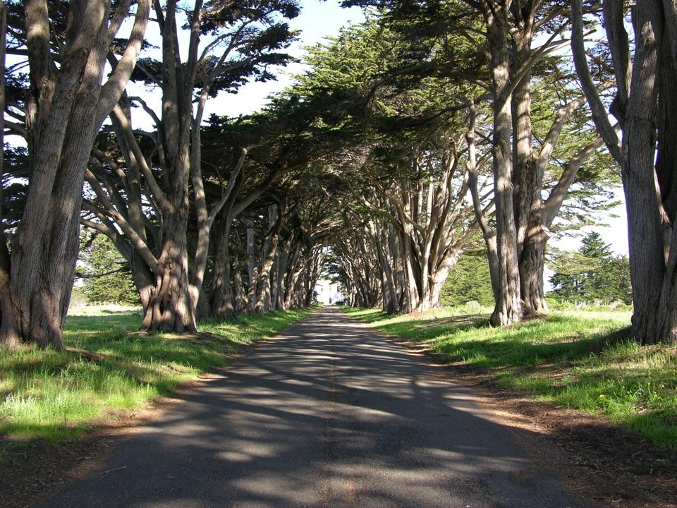
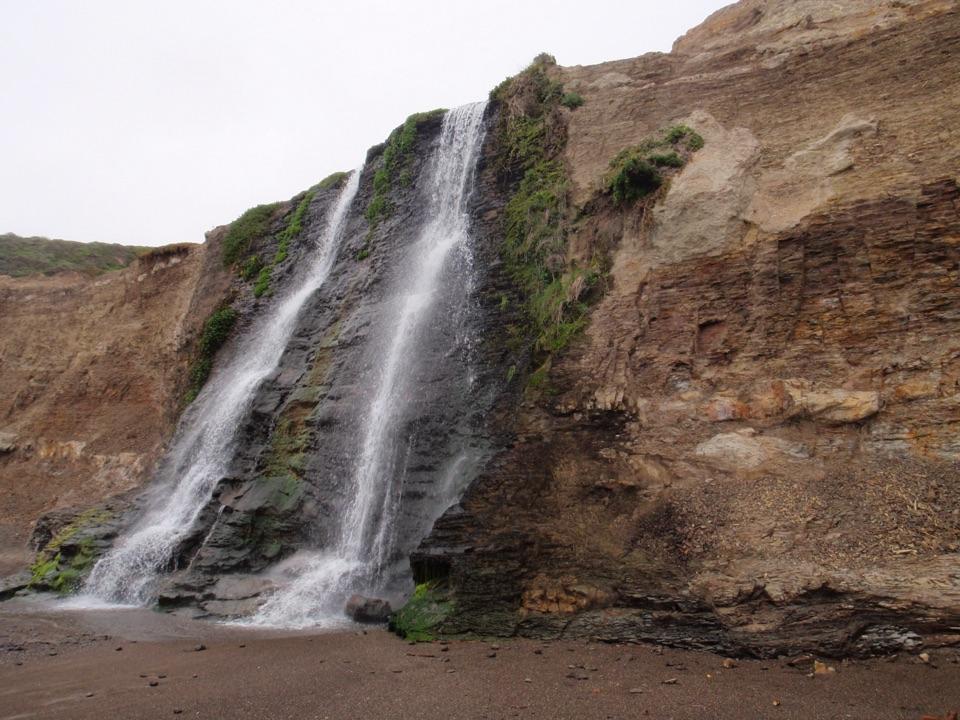
An isolated cove sits between rocky headlands, fully exposed to Pacific surf. The short walk is worthwhile for the quiet cove, rocky cliffs and tide pools, but the ocean here deserves real caution.
Time your visit around a low or outgoing tide for the tide pools and safer footing near the headlands.
Spring and early summer bring wildflowers along the trail.
Leave enough daylight for the uphill walk back. Camping and overnight vehicle parking are not allowed.
Rules to Know
No bicycles and no pets on the approach or the beach.
Glass containers, metal detectors and drones are prohibited.
4 active Point Reyes alerts
CautionCoastal flooding risk along Point Reyes through Nov. 26Use caution along Point Reyes shorelines and tidal waterways: a Coastal Flood Advisory is in effect through 4 p.m. PST Thursday, November 26. - Up to 2.Official details
ClosurePalomarin Beach Trail closedPalomarin Beach Trail is closed to all visitors, employees, and residents because unstable and failing trail sections have been determined unsafe. - The closure is in effect until further notice.Official details
Parkwolf Tour GuideThe highest, rockiest slopes around here are a summer buffet for grizzly bears.
Point Reyes Tour Guide
Your drive to McClures Beach, narrated.
Parkwolf is a GPS audio tour guide for Point Reyes National Seashore. As you drive, it chimes in with what’s ahead: hidden gems, upcoming stops, history, geology, and wildlife, right through your car’s speakers.
“You're approaching McClures Beach Trailhead, with a steep, sandy four-tenths-mile descent to a rocky Pacific cove. Allow about an hour for the walk and a beach stop, including the climb back.”
Plays as you drive up to McClures Beach in the Parkwolf Point Reyes Tour Guide.
More stories near here in the app
Pierce Point Ranch and Tomales Point
The Beach Nursery You Might Miss
Kehoe Beach
Why the Dunes Need to Move
61 audio storiesacross Point Reyes’s roads, triggered by GPS as you drive
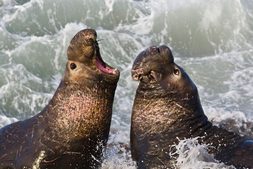
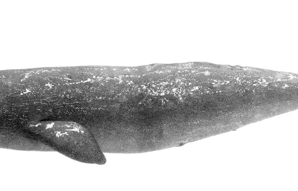
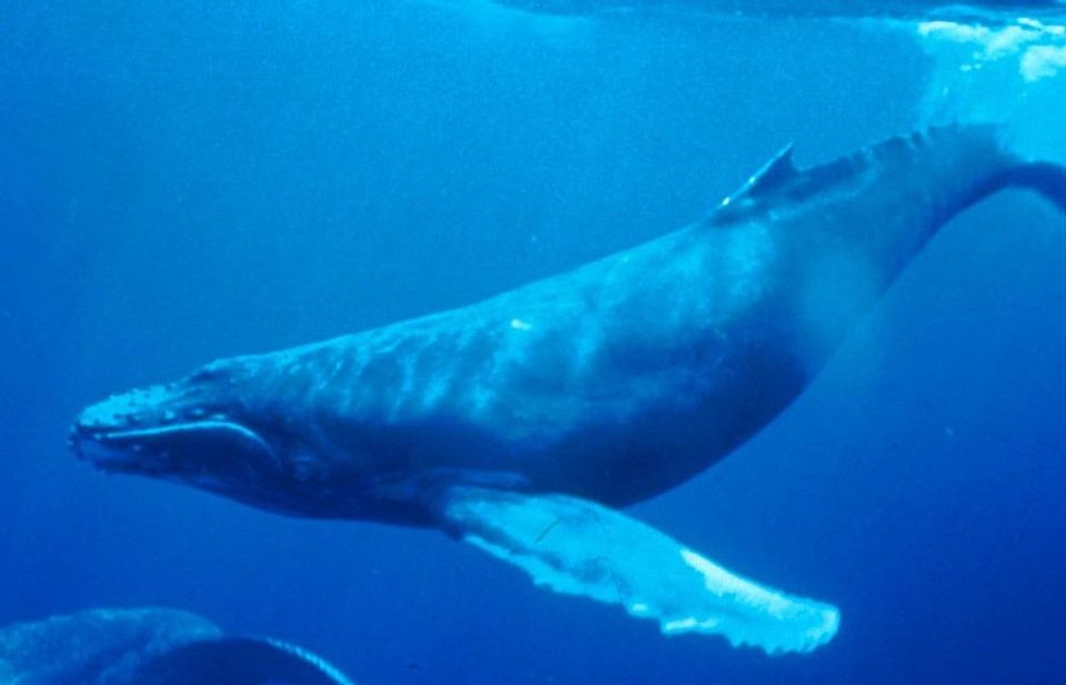
Wildlife heatmapsfor Northern Elephant Seal, Grey Whale, Humpback Whale, and 13 more
Works offlinemaps, 65 trails, 43 places, and audio download before you lose signal
CarPlay readysimple controls built for the drive
★★★★★
“Fantastic app with many points of information… It’s great to just turn on while you’re driving and it gives you an audio tour of the national Park. We love it!!!!”
JMJamesApp Store review
★★★★★4.7 from 8,600+ ratings
Guide
More about McClures Beach
The ApproachAbout 0.4 miles (600 meters) one way, downhill to the sand and uphill on the return.
About 0.4 miles (600 meters) one way, downhill to the sand and uphill on the return.
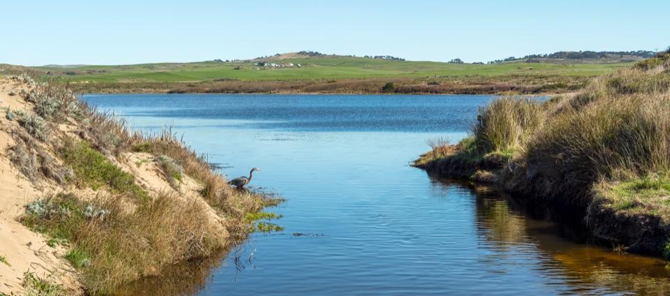
The route is moderately steep and sandy, following a creek from the parking lot.
In spring and early summer, look for wild radish, iris and gumplant along the way.
What to See and DoWalk the cove and take in the surrounding headlands and cliffs.
Walk the cove and take in the surrounding headlands and cliffs.
Look for tide pools at the south end at the lowest tides, only if conditions allow a safe return.
Fishing is permitted, subject to park rules.
Tides and Surf SafetyLarge surf is frequent, and sneaker waves, rip currents and hypothermia are real hazards.
Large surf is frequent, and sneaker waves, rip currents and hypothermia are real hazards.
Stay well back from the water’s edge. Swimming is not recommended, and even playing close to the surf is unsafe. Never turn your back to the ocean.
Explore tide pools only on a low or outgoing tide.
The gap to the adjacent beach and rocky headlands can trap visitors as the tide rises; people have died here. Check the tide and surf, keep a clear exit and turn back if conditions are doubtful.
Practical PackingBring your own water. There is no potable water at Tomales Point.
Bring your own water. There is no potable water at Tomales Point.
Bring food. There is no food service west of Inverness.
Layer up for wind, cool temperatures, fog and rain, all common here.
Download maps in advance, since cell service is minimal to nonexistent.
A vault toilet and garbage cans are at the trailhead, not down at the beach.
Honest DrawbacksThe return climb is steep and sandy, and there are no restrooms or trash cans once you reach…
The return climb is steep and sandy, and there are no restrooms or trash cans once you reach the beach.
Wind, fog, cool air and rain are durable features of this coast rather than occasional inconveniences.
The ocean here is for looking, not swimming, and the tide dictates how much of the cove and its pools you can safely reach.