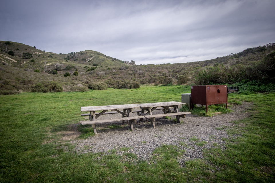
Coast Campground in Point Reyes National Seashore

Campground · Point Reyes National Seashore

Coast Campground

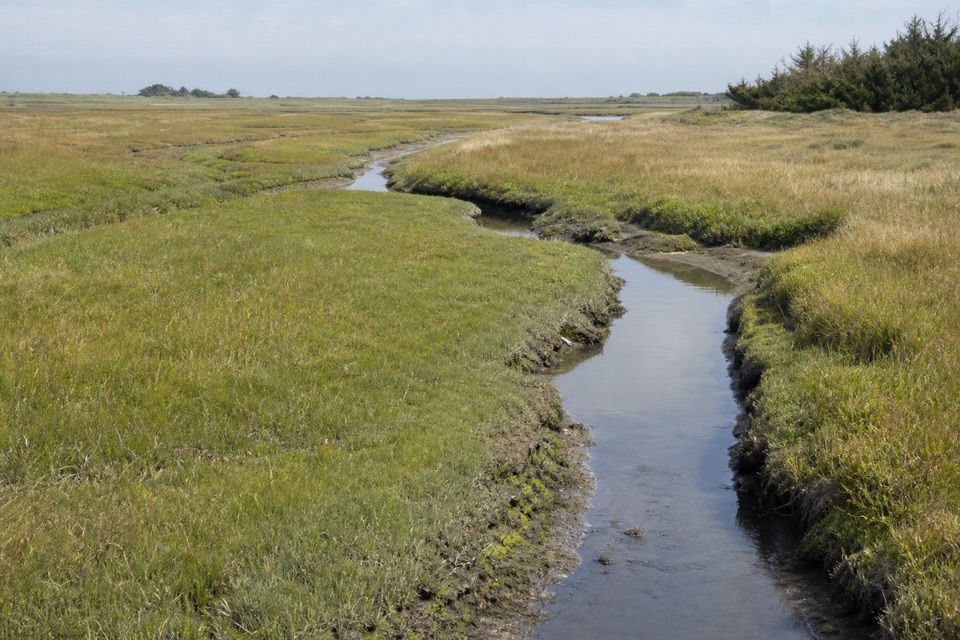
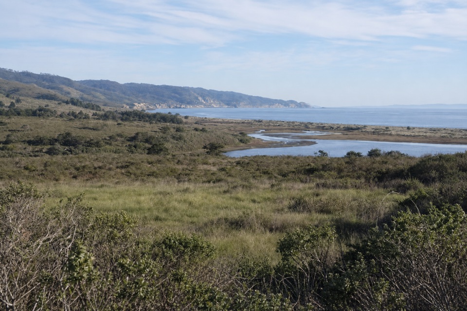
Grassy coastal valley camp minutes from beach and tidepools

Photo: National Park Service
Type
Campground
Nearest trail
1.7 mi
Audio stories
2 nearby
  • Picnic tables
  • Restrooms

Hear the audio tour

Limantour Beach and Spit

Overview

About Coast Campground

Why stop

  • Beach and tidepools are a short walk from camp
  • Grassy coastal valley with a quiet backcountry feel

Heads up

  • Hike-in, bike-in, or horse-in only
  • Coastal wind and chill can make camp uncomfortable
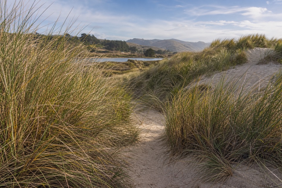
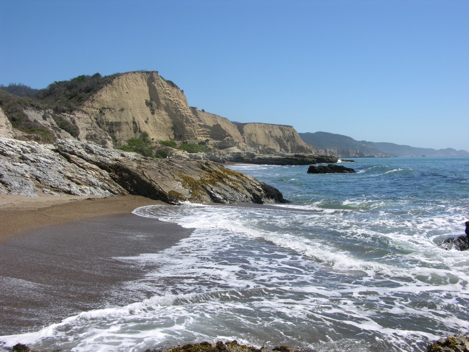
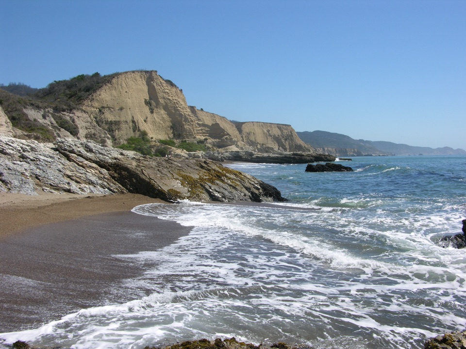
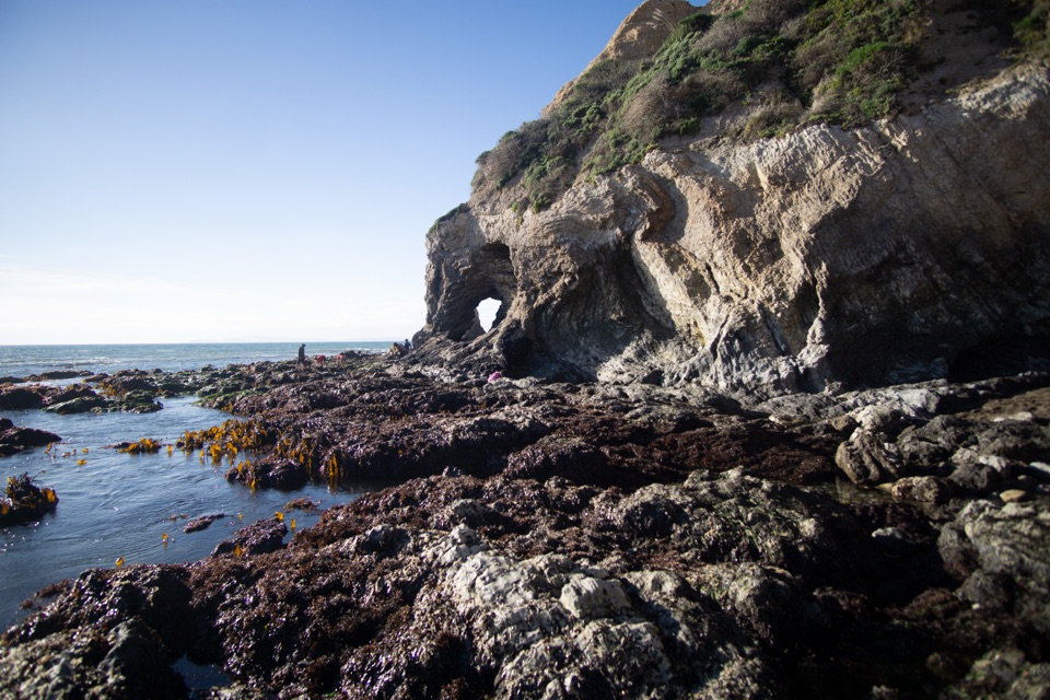
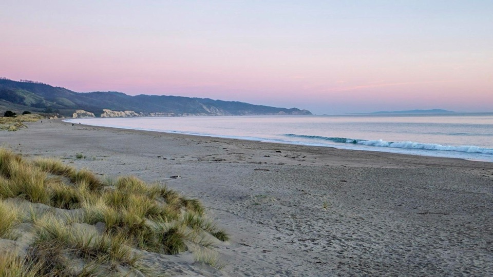
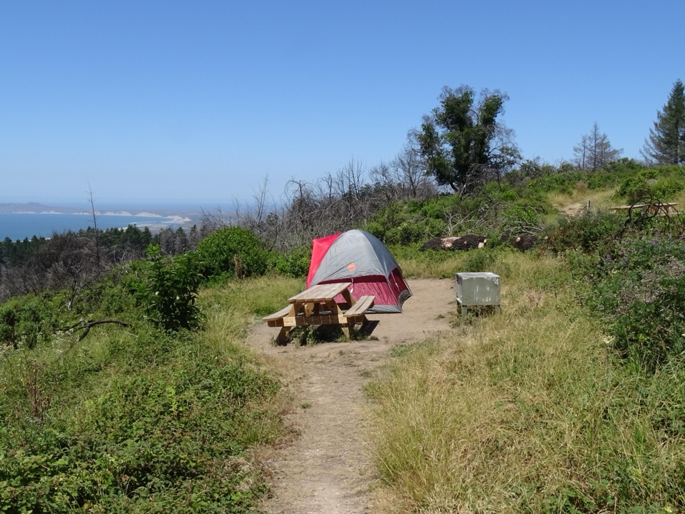
This is a small campground in a coastal valley on the Pacific side of the peninsula, with the beach within 220 yards and tidepools about 720 yards southeast. It works well as a first backpacking trip: the walk in is short, the campsites are grassy, and there is potable water on site so you do not have to carry all of it. Camping here is near Santa Maria Beach, and the appeal is simple, quiet coastal camping rather than big views from a summit.
Parkwolf’s verdictWhy go

Map

Where it is

Loading the Point Reyes map
Full map
CampgroundCoast Campground38.01807, -122.85366
Keep this map with you offline in the Parkwolf app

Plan your stop

Before you go

Getting there

Access is by foot, bicycle, or horse only. There is no automobile or RV access, and despite what some listings suggest, you cannot arrive by boat. Plan to leave your car at a designated trailhead and walk or ride in.

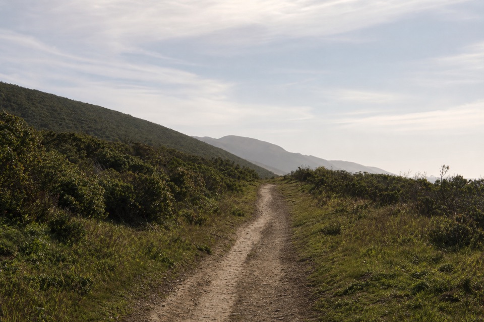
  • Laguna and Fire Lane Trails, 1.8 miles: the shortest solid-ground route, slightly uphill with about 400 feet of climbing over a ridge.
  • Coast Trail, about 2.7 miles: easy and flat, and the only route open to bicycles and other non-motorized wheeled devices such as wagons.
  • Limantour Beach, about 1.5 miles: along sand the whole way, which is slower going than the mileage suggests.
  • Bear Valley, about 6 miles: the long option, crossing roughly 1,300 feet of Inverness Ridge.

4 active Point Reyes alerts

  • ClosureOld Tocaloma/Platform Bridge closed to vehiclesDo not drive across the Old Tocaloma/Platform Bridge; it is closed to all vehicular traffic until further notice.Official details
  • ClosurePalomarin Beach Trail closedPalomarin Beach Trail is closed to all visitors, employees, and residents until further notice; do not use the trail. - The trail is closed because unstable and failing sections have made it unsafe.Official details
See all 4 alerts
A park ranger sits on a dash-mounted phone, talking, as Parkwolf’s Tour Guide plays “Army Cutworm Moths: A Grizzly Bear Buffet” on Grand Loop Road below Dunraven Pass in Yellowstone
Parkwolf Tour GuideThe highest, rockiest slopes around here are a summer buffet for grizzly bears.

Point Reyes Tour Guide

Your drive to Coast Campground, narrated.

Parkwolf is a GPS audio tour guide for Point Reyes National Seashore. As you drive, it chimes in with what’s ahead: hidden gems, upcoming stops, history, geology, and wildlife, right through your car’s speakers.

Recorded for this area

Limantour Beach and Spit
0:00 / 0:31
“You're coming up on Limantour Beach, a broad stretch of sand backed by dunes and the Limantour Estero. I'd stop for an unhurried walk, with shorebirds feeding by the mudflats in fall and ducks there in winter.”

Plays on the road 1.7 mi from Coast Campground in the Parkwolf Point Reyes Tour Guide.

More stories near here in the app

  • Laguna Trailhead and Coast Loop
  • Muddy Hollow Trailhead
  • The Cone with a Mouse Tail
  • Sky Trailhead and Mount Wittenberg
  • 61 audio storiesacross Point Reyes’s roads, triggered by GPS as you drive
  • Wildlife heatmapsfor Northern Elephant Seal, Grey Whale, Humpback Whale, and 13 more
  • Works offlinemaps, 65 trails, 41 places, and audio download before you lose signal
  • CarPlay readysimple controls built for the drive
★★★★★
“Fantastic app with many points of information… It’s great to just turn on while you’re driving and it gives you an audio tour of the national Park. We love it!!!!”
JMJamesApp Store review
Download Parkwolf on the App StoreGet Parkwolf on Google Play

4.7 from 8,600+ ratings

Guide

More about Coast Campground

The campgroundThere are 14 tent-only sites: 12 regular and two group sites.

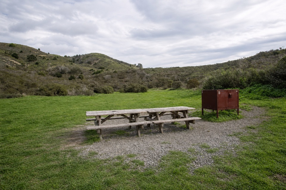
There are 14 tent-only sites: 12 regular and two group sites. Facilities are basic but real: potable water, year-round vault toilets, picnic tables, food-storage lockers, and year-round trash and recycling collection. There are no showers, no camp store, and no staff on site, and no cell or internet service is listed here, so sort out logistics before you leave the trailhead.

Rules that matterThe campground is open year-round and around the clock, but a permit is required before you…

The campground is open year-round and around the clock, but a permit is required before you start your trip. Gas camp stoves are allowed. Wood, charcoal, and other solid-fuel fires are prohibited at the campground, and beach fires elsewhere require their own permit. Use the food lockers for anything edible or scented.

What to bringCarry your own food, and bring a gas stove if you want hot meals.

Carry your own food, and bring a gas stove if you want hot meals. Pack wind and cold layers, including something warm for the evening: this is exposed coastline, and coastal wind and chill can be uncomfortable even after a mild walk in. Bring a headlamp, and if you plan to draw water anywhere other than the campground tap, treat it. A light day pack is handy for wandering down to the tidepools.

Honest drawbacksEverything you want has to be carried or wheeled in, and the shortest route still involves a…

Everything you want has to be carried or wheeled in, and the shortest route still involves a ridge climb. Coastal wind and chill can make camp less comfortable than the short approach suggests, and with no store or staff on site you need to arrive self-sufficient. Small animals such as deer, rabbits, and skunks are possible rather than guaranteed visitors around camp, so keep food locked and gear closed.

Wildlife

Wildlife in Point Reyes

All Point Reyes wildlife maps

Sighting maps show where each species has been reported across Point Reyes. Wildlife moves, so no sighting is guaranteed.

Keep exploring

Near Coast Campground

See it all on the map

Trails nearby

More stops nearby

Parkwolf’s Point Reyes ranking

Top sights in Point Reyes

All 41 places
  1. 1Point Reyes LighthouseSight
  2. 2Chimney RockSight
  3. 3Drakes BeachBeach
  4. 4Cypress Tree TunnelSight
  5. 5Alamere FallsSight
  6. 6Pierce Point RanchSight

Take Parkwolf to Point Reyes.

The audio tour guide for the drive, plus offline maps, trails, and wildlife heatmaps for when the signal drops.

4.7 from 8,600+ ratings

Download Parkwolf on the App StoreGet Parkwolf on Google Play