Parking
Use the free gravel Trailhead and Picnic Area lot beside Bear Valley Trailhead, on the east side of the access road. The park asks visitors to use it instead of the paved visitor-center lot.
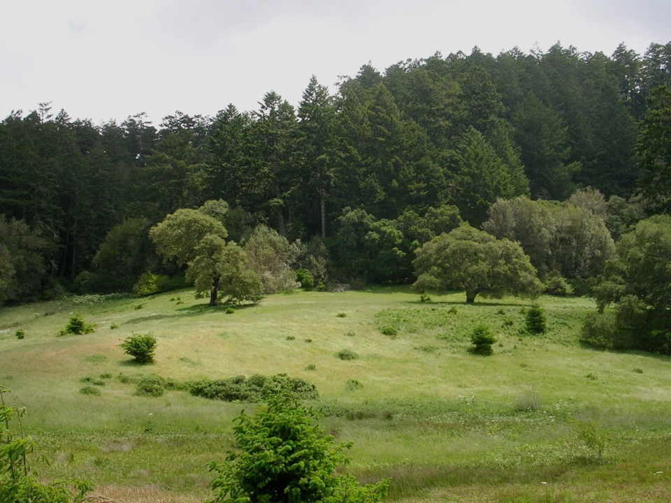
Point Reyes National Seashore, CA
A wooded climb, ridge crossing, and mossy Old Pine descent.
Overview
Map & elevation
Plan your hike

The highest, rockiest slopes around here are a summer buffet for grizzly bears.
Point Reyes Tour Guide
Parkwolf is a GPS audio tour guide for Point Reyes National Seashore. As you drive, it chimes in with what’s ahead: hidden gems, upcoming stops, history, geology, and wildlife, right through your car’s speakers.
Recorded for this area
Bear Valley Visitor Center“You're coming up on Bear Valley Visitor Center, a useful place to sort out your day before heading to the outer coast.”
Plays on the road 0.1 mi from the trailhead in the Parkwolf Point Reyes Tour Guide.
More stories near here in the app
“Fantastic app with many points of information… It’s great to just turn on while you’re driving and it gives you an audio tour of the national Park. We love it!!!!”


Trail guide
The 7.1-mile Bear Valley Forest Loop makes a full circuit from Bear Valley Trailhead. Follow Bear Valley Trail for 0.2 mile, climb Mount Wittenberg Trail to Inverness Ridge, then turn south on Sky Trail and descend Old Pine to Divide Meadow before returning on Bear Valley. Allow about four hours. This is the longer Old Pine version; a 4.9-mile option uses Meadow Trail instead.
The opening Bear Valley section is broad and mostly gentle, but Mount Wittenberg is a sustained, forested climb. The route reaches its high point near Z Ranch junction at about 1,270 feet. A separate 0.3-mile spur goes to Mount Wittenberg’s summit, where dense firs block most views. The ridge itself can open west toward the peninsula and Pacific when visibility allows. Old Pine drops through forest, with moss and mushrooms in its moister stretches, then reaches the grassy clearing at Divide Meadow. Expect compacted dirt and some ruts, exposed roots, and rocks.
Use the free gravel Trailhead and Picnic Area lot beside Bear Valley Trailhead rather than the paved visitor-center lot. Restrooms and potable water are at the trailhead; Divide Meadow has a vault toilet but no potable water. Dogs aren’t allowed on the park’s hiking trails.
Wildlife
 2,552 sightingsNorthern Elephant SealMost seen around 11 AMSighting map
 127 sightingsGrey WhaleMost seen around noonSighting map
 109 sightingsHumpback WhaleMost seen around 10 AMSighting map
 29 sightingsSteller Sea LionMost seen around noonSighting map
 203 sightingsCalifornia Sea LionMost seen around noonSighting map
 352 sightingsHarbor SealMost seen around 7 AMSighting map
Sighting maps show where each species has been reported across Point Reyes. Wildlife moves, so no sighting is guaranteed.
Keep exploring
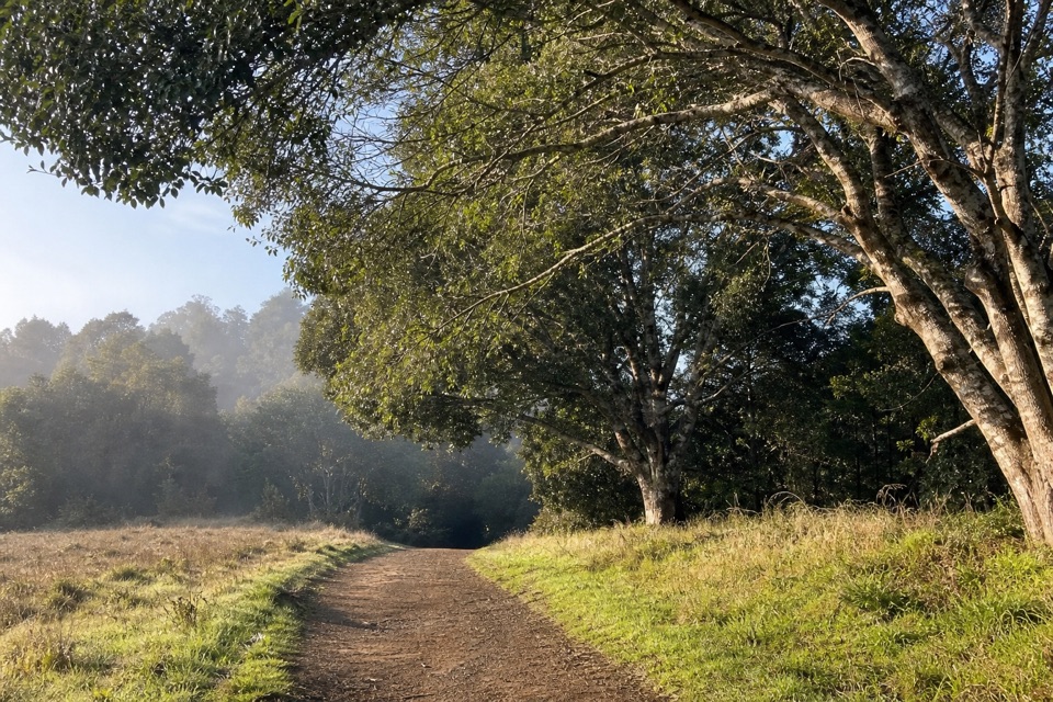 EasyWoodpecker Nature Trail0.8 mi · 30 min · At the trailheadMeadow, creek and acorn granary trees in one short loop.
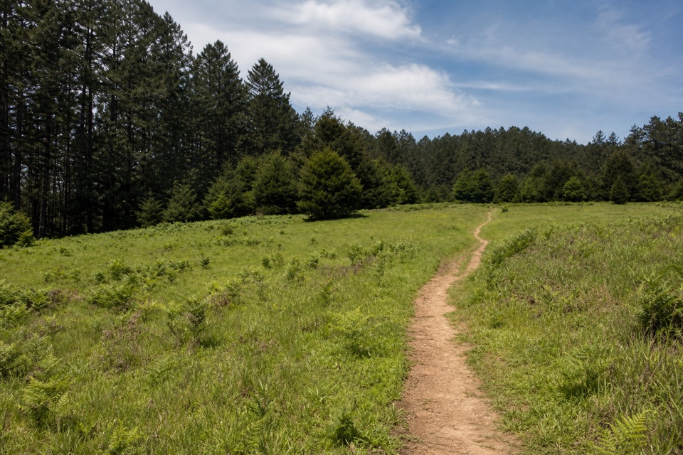 ModerateMeadow–Horse Trails Loop6.5 mi · 3.5 hr · At the trailheadClimb through meadow woods for ridgeline views toward the Pacific.
 ModerateBear Valley Trail to Miller Point9 mi · 4.5 hr · At the trailheadA long forest walk ends at a headland above Drakes Bay.
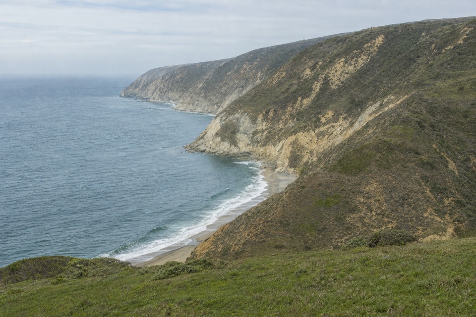 ChallengingWoodward Valley Loop13 mi · 6.5 hr · At the trailheadForest, ridge and open coast in one strenuous circuit.
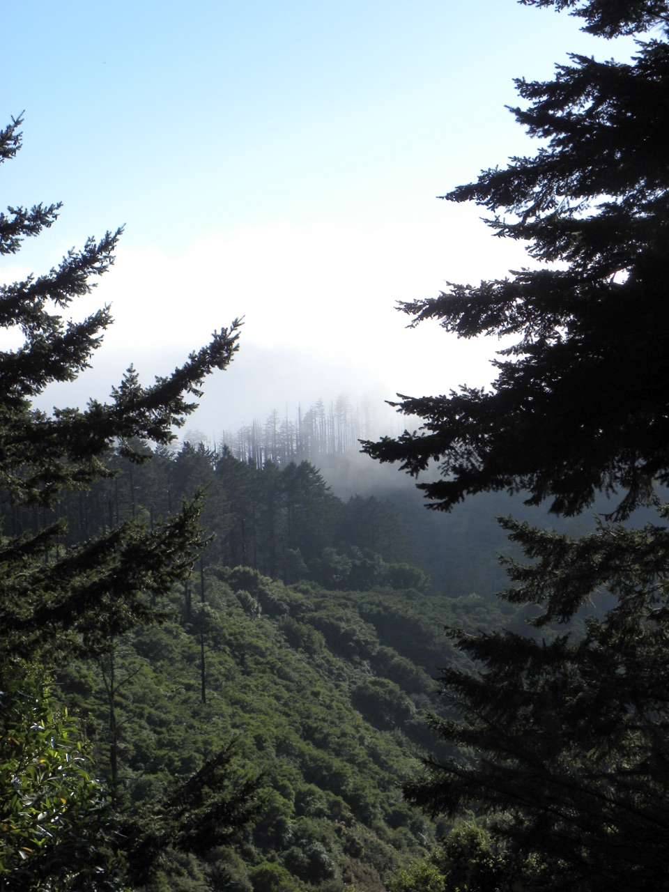 ChallengingSky–Bear Valley Loop10.8 mi · 5 hr · At the trailheadA steep ridge climb trades forest shade for fire-opened views.
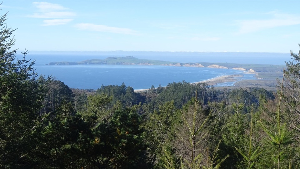 ChallengingMount Wittenberg Trail from Bear Valley4.8 mi · 2.8 hr · At the trailheadA steep forest climb to a summit mostly screened by fir.EasyBear Valley Trail to Divide Meadow3.2 mi · 1.3 hr · At the trailheadFollow a shady creek to a grassy meadow turnaround.
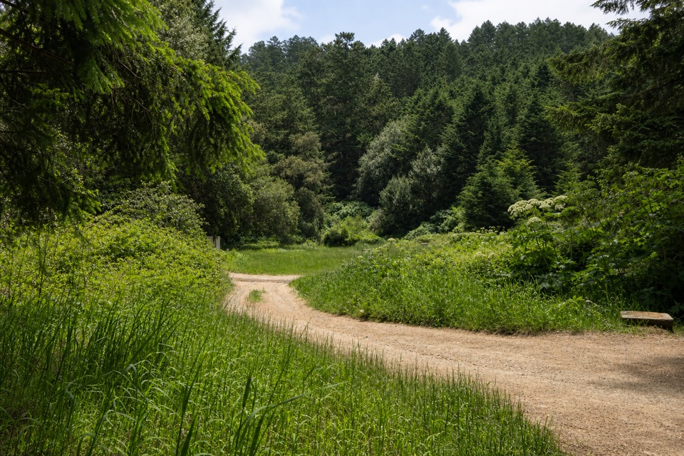 ModerateBear Valley–Glen–Coast Loop9.8 mi · 6 hr · At the trailheadA 9.8-mile forest loop with a stretch of ocean views
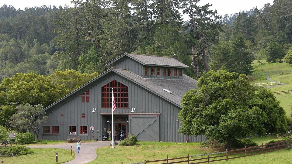 Visitor center · 0.1 mi awayBear Valley Visitor CenterBarn-style orientation hub where a life-size elephant seal greets you
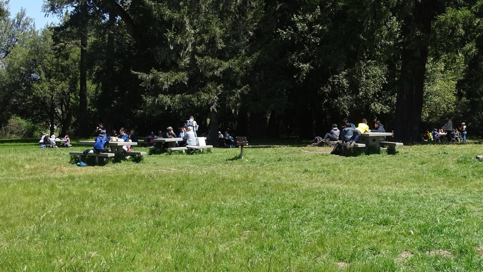 Picnic area · 0.1 mi awayBear Valley Picnic AreaTwenty-five shaded tables, charcoal grills, and room for big groups
 Sight · 0.1 mi awayMorgan Horse RanchWorking park horses and ranch history on a short hillside walk
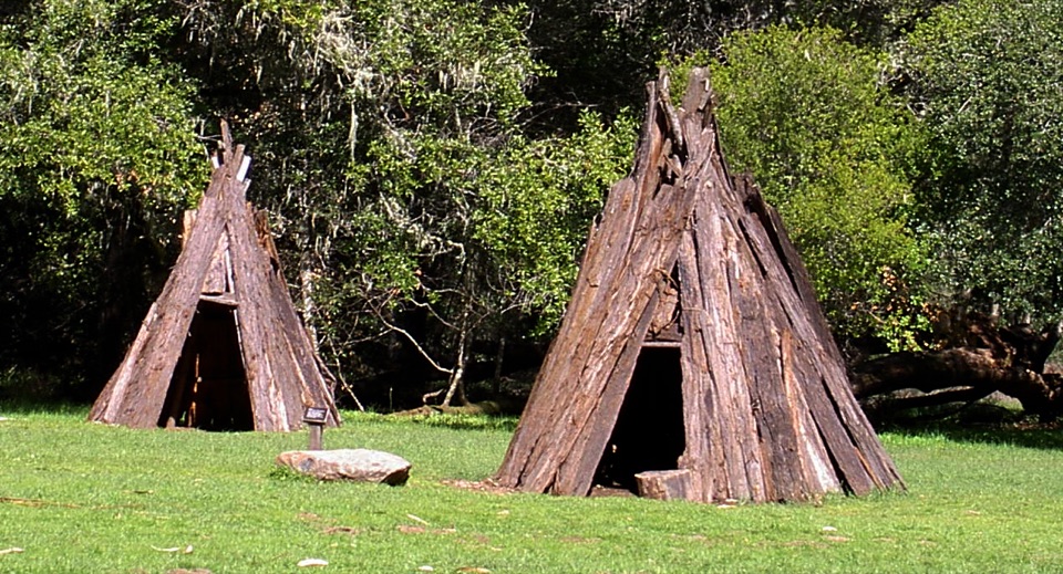 Sight · 0.5 mi awayKule LokloA replica Coast Miwok village with a round house and acorn granaries
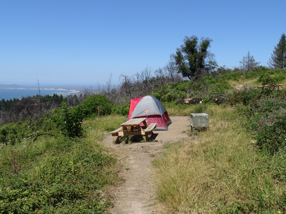 Campground · 1.6 mi awaySky CampgroundHike-in ridgetop tent sites with sweeping Drakes Bay and ocean views
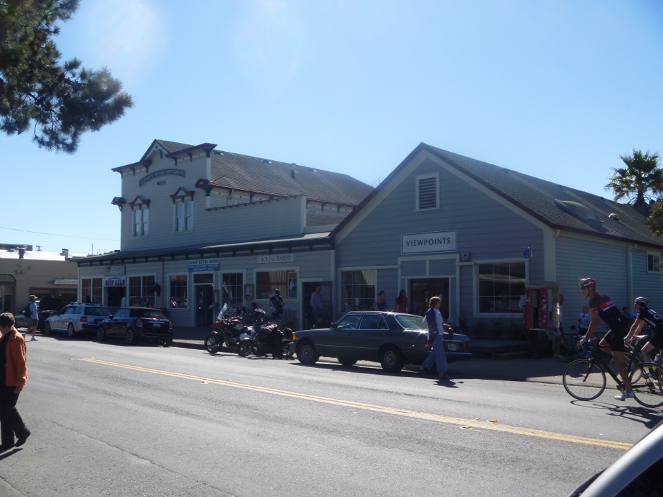 Food · 2 mi awayBovine BakeryMorning buns, almond croissants, and strong drip coffee
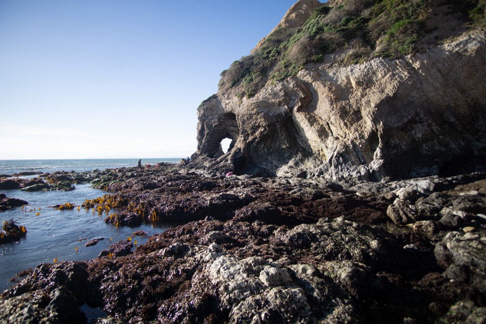 Beach · 3.1 mi awaySecret Beach and Skylight CaveCollapsed sea cave and hidden beach reached only at negative tides
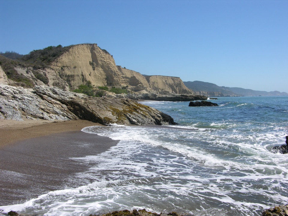 Beach · 3.2 mi awaySculptured BeachWave-carved rocks and low-tide pools, two miles down a wild shore
Parkwolf’s Point Reyes ranking

The audio tour guide for the drive, plus offline maps, trails, and wildlife heatmaps for when the signal drops.




