Kule Loklo in Point Reyes National Seashore

Sight · Point Reyes National Seashore

Kule Loklo

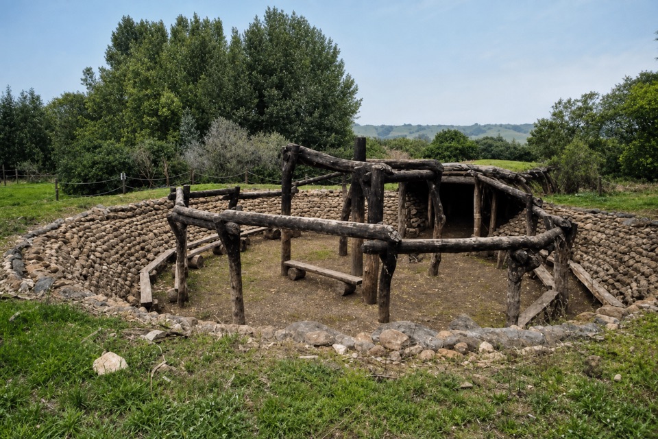
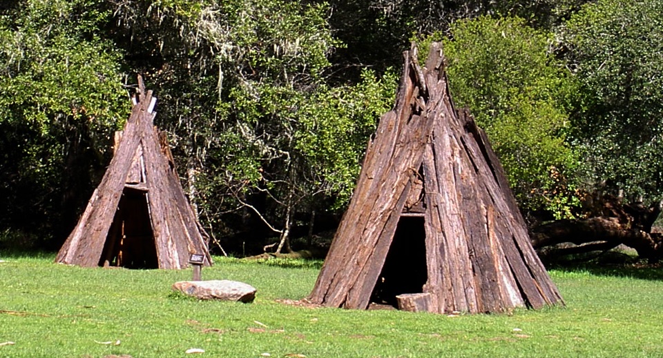
A replica Coast Miwok village with a round house and acorn granaries

Photo: Public Domain
Type
Sight
Nearest trail
0.3 mi
Audio stories
10 nearby
  • Exhibit
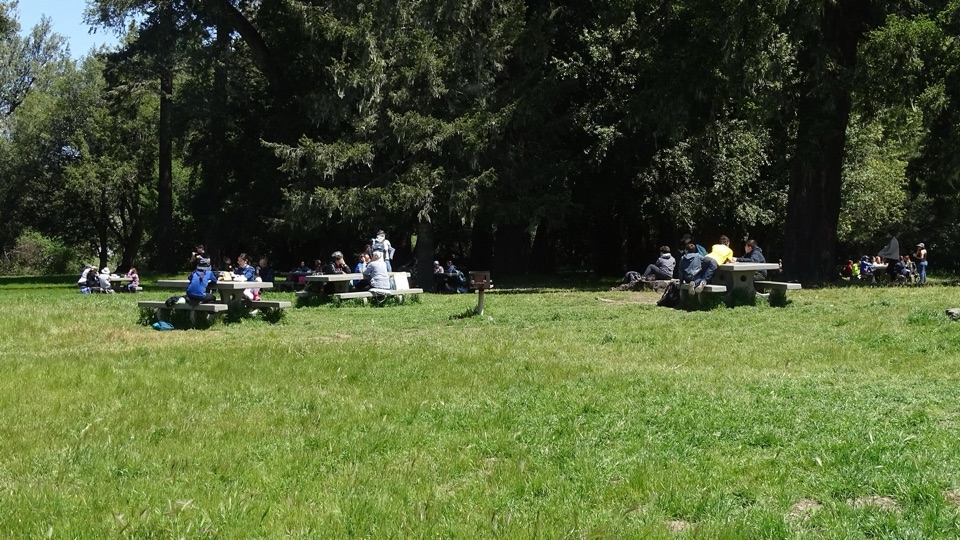
  • Picnic tables
  • Restrooms

Hear the audio tour

Bear Valley Visitor Center

Overview

About Kule Loklo

Why stop

  • A tangible introduction to Coast Miwok lifeways
  • Easy cultural stop near Bear Valley Visitor Center

Heads up

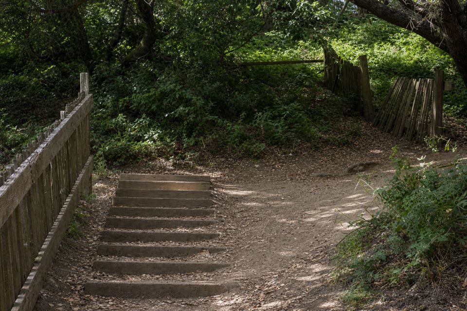
  • Steep opening and uneven ground
  • Small outdoor exhibit can feel weathered or underwhelming
A short uphill walk from the Bear Valley Visitor Center area brings you to a replica Coast Miwok village set in a grassy field. Coast Miwok people lived across what are now Marin and southern Sonoma counties for thousands of years. The village name means Bear Valley.
Parkwolf’s verdictWhy stop

Map

Where it is

Loading the Point Reyes map
Full map
SightKule Loklo38.04560, -122.80330
Keep this map with you offline in the Parkwolf app

Plan your stop

Before you go

Best time to go

Open year-round, suitable for all ages, and no reservation needed. Dawn, daytime, and dusk are all workable. Point Reyes commonly sees winter rain and drizzle, spring wind, summer fog that often burns off by midday, and some of its clearest days in late September through early November.


Getting there

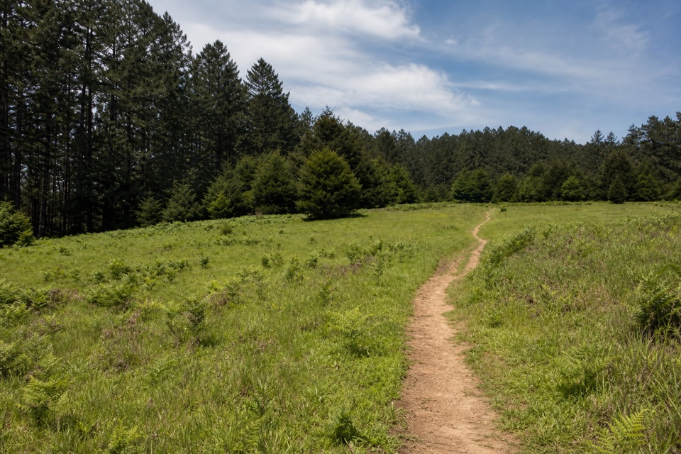
The trailhead is at the north end of the Bear Valley parking lot, roughly 100 meters from the visitor center. The village sits about 0.4 miles northwest, making an 0.8-mile round trip. Allow about 20 minutes of walking, plus however long you want for the structures and signs.

4 active Point Reyes alerts

  • ClosureOld Tocaloma/Platform Bridge closed to vehiclesDo not drive across the Old Tocaloma/Platform Bridge; it is closed to all vehicular traffic until further notice.Official details
  • ClosurePalomarin Beach Trail closedPalomarin Beach Trail is closed to all visitors, employees, and residents until further notice; do not use the trail. - The trail is closed because unstable and failing sections have made it unsafe.Official details
See all 4 alerts
A park ranger sits on a dash-mounted phone, talking, as Parkwolf’s Tour Guide plays “Army Cutworm Moths: A Grizzly Bear Buffet” on Grand Loop Road below Dunraven Pass in Yellowstone
Parkwolf Tour GuideThe highest, rockiest slopes around here are a summer buffet for grizzly bears.

Point Reyes Tour Guide

Your drive to Kule Loklo, narrated.

Parkwolf is a GPS audio tour guide for Point Reyes National Seashore. As you drive, it chimes in with what’s ahead: hidden gems, upcoming stops, history, geology, and wildlife, right through your car’s speakers.

Recorded for this place

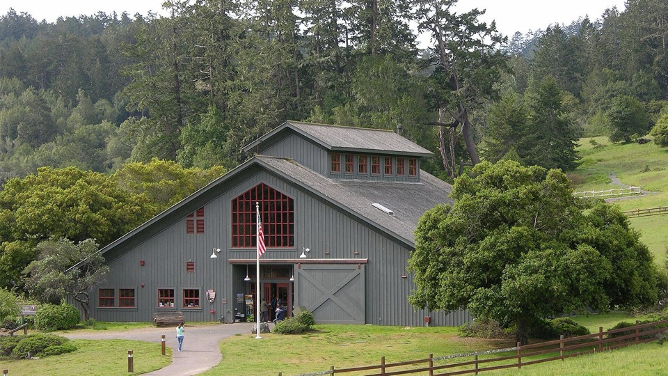
Bear Valley Visitor Center
0:00 / 0:32
“You're coming up on Bear Valley Visitor Center, a useful place to sort out your day before heading to the outer coast.”

Plays as you drive up to Kule Loklo in the Parkwolf Point Reyes Tour Guide.

More stories near here in the app

  • The Ocean's Hidden Food Supply
  • The Horses That Still Work Here
  • A Tree Full of Acorns
  • When the Tide Returned
  • 61 audio storiesacross Point Reyes’s roads, triggered by GPS as you drive
  • Wildlife heatmapsfor Northern Elephant Seal, Grey Whale, Humpback Whale, and 13 more
  • Works offlinemaps, 65 trails, 41 places, and audio download before you lose signal
  • CarPlay readysimple controls built for the drive
★★★★★
“Fantastic app with many points of information… It’s great to just turn on while you’re driving and it gives you an audio tour of the national Park. We love it!!!!”
JMJamesApp Store review
Download Parkwolf on the App StoreGet Parkwolf on Google Play

4.7 from 8,600+ ratings

Guide

More about Kule Loklo

What you'll see and doReconstructed village structures, including a round house and acorn granaries, spread across an…
  • Reconstructed village structures, including a round house and acorn granaries, spread across an open field you can walk between.
  • Interpretive signs covering Coast Miwok culture, history, and the buildings themselves, with context on gathering, fishing and hunting, acorn processing, basketry, cooking, dance-house traditions, and toolmaking.
  • Expect a self-guided stop. This is a place to look at structures and read exhibits, not a living-history performance or a full museum, so nothing is staged or demonstrated for visitors.
Honest drawbacksThe first 0.
  • The first 0.4 mile is quite steep before it levels out, and exposed tree roots can be awkward underfoot.
  • Gopher holes in the grassy field make moving between structures difficult for some wheelchair users and people on crutches, and there are no accessible restrooms.
  • Pets are prohibited at the village and on the trails leading to it.
  • Some visitors have found the replica weathered, overgrown, or underwhelming, so come for the setting and interpretation rather than polished exhibits.

Wildlife

Wildlife in Point Reyes

All Point Reyes wildlife maps

Sighting maps show where each species has been reported across Point Reyes. Wildlife moves, so no sighting is guaranteed.

Keep exploring

Near Kule Loklo

See it all on the map

Trails nearby

More stops nearby

Parkwolf’s Point Reyes ranking

Top sights in Point Reyes

All 41 places
  1. 1Point Reyes LighthouseSight
  2. 2Chimney RockSight
  3. 3Drakes BeachBeach
  4. 4Cypress Tree TunnelSight
  5. 5Alamere FallsSight
  6. 6Pierce Point RanchSight

Take Parkwolf to Point Reyes.

The audio tour guide for the drive, plus offline maps, trails, and wildlife heatmaps for when the signal drops.

4.7 from 8,600+ ratings

Download Parkwolf on the App StoreGet Parkwolf on Google Play