Sky–Bear Valley Loop in Point Reyes National Seashore

Point Reyes National Seashore, CA

Sky–Bear Valley Loop

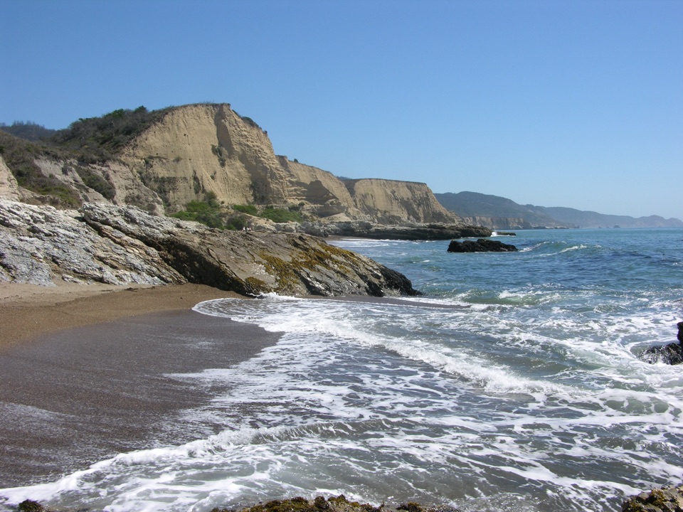
A steep ridge climb trades forest shade for fire-opened views.

Photo: Wikimedia Commons
Length
10.8mi
Time
5hr
Elev. change
1,165ft
Difficulty
Challenging
  • Loop
  • No dogs
  • High point 1,273 ft
  • #11 of 65 in Point Reyes

Hear the audio tour

Bear Valley Visitor Center

Overview

About Sky–Bear Valley Loop

Why go

  • A varied ridge-to-creek circuit with open views along Sky Trail
  • The Bear Valley return passes Divide Meadow and follows two creeks

Heads up

  • The Mount Wittenberg ascent is sustained and steep
  • No potable water is available along the route after Bear Valley Trailhead

Map & elevation

The route

Loading the Point Reyes map
Full map
Elevation108–1,273 ft
TrailheadBear Valley Trailhead38.03960, -122.79980
Keep this map with you offline in the Parkwolf app

Plan your hike

Before you go

Parking

Start at Bear Valley Trailhead, at the southwest corner of the Trailhead and Picnic Area. Use the large gravel lot on the east side of the access road, close to the trailhead; the visitor-center paved lots are smaller and serve the center. The NPS trailhead page lists about 210 gravel spaces and about 50 paved spaces.

Safety

The Mount Wittenberg route climbs about 1,130 feet over 1.8 miles. There is no potable water on the route after Bear Valley Trailhead; Divide Meadow has vault toilets but no water. Pets are prohibited on park trails.

4 active Point Reyes alerts

  • CautionMount Wittenberg Trail closed to equestriansMentions Mount Wittenberg Trail, referenced in this guideMount Wittenberg Trail is closed to all equestrians until further notice; keep stock off the trail. - The closure is due to a failed retaining wall damaged during the Woodward Fire that needs repair.Official details
  • ClosureOld Tocaloma/Platform Bridge closed to vehiclesDo not drive across the Old Tocaloma/Platform Bridge; it is closed to all vehicular traffic until further notice.Official details
See all 4 alerts
A park ranger sits on a dash-mounted phone, talking, as Parkwolf’s Tour Guide plays “Army Cutworm Moths: A Grizzly Bear Buffet” on Grand Loop Road below Dunraven Pass in Yellowstone
Parkwolf Tour GuideThe highest, rockiest slopes around here are a summer buffet for grizzly bears.

Point Reyes Tour Guide

Your drive to Sky–Bear Valley Loop, narrated.

Parkwolf is a GPS audio tour guide for Point Reyes National Seashore. As you drive, it chimes in with what’s ahead: hidden gems, upcoming stops, history, geology, and wildlife, right through your car’s speakers.

Recorded for this area

Bear Valley Visitor Center
0:00 / 0:32
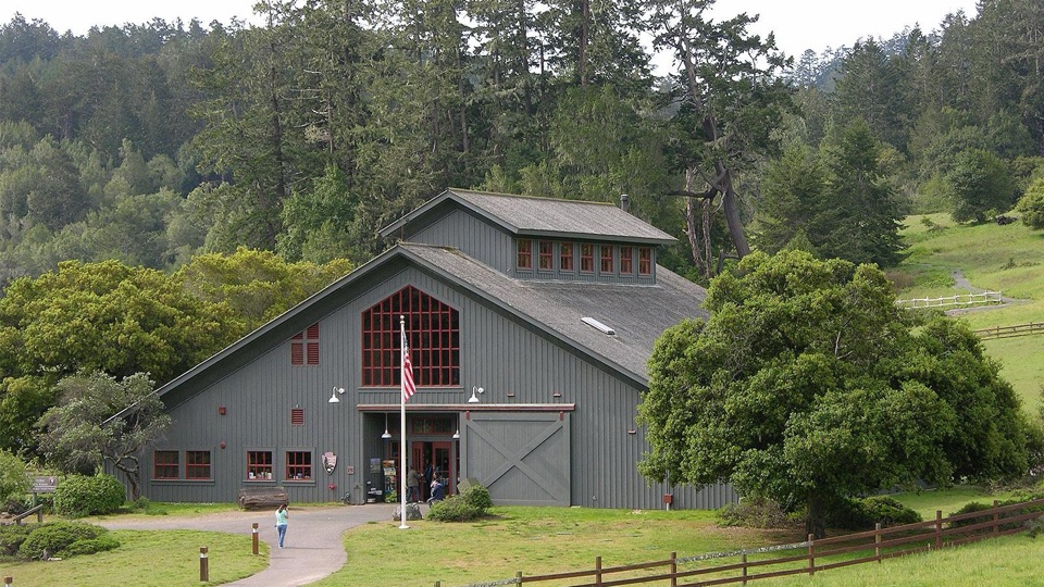
“You're coming up on Bear Valley Visitor Center, a useful place to sort out your day before heading to the outer coast.”

Plays on the road 0.1 mi from the trailhead in the Parkwolf Point Reyes Tour Guide.

More stories near here in the app

  • The Horses That Still Work Here
  • The Ocean's Hidden Food Supply
  • The Beads That Traveled Inland
  • A Tree Full of Acorns
  • 61 audio storiesacross Point Reyes’s roads, triggered by GPS as you drive
  • Wildlife heatmapsfor Northern Elephant Seal, Grey Whale, Humpback Whale, and 13 more
  • Works offlinemaps, 65 trails, 41 places, and audio download before you lose signal
  • CarPlay readysimple controls built for the drive
★★★★★
“Fantastic app with many points of information… It’s great to just turn on while you’re driving and it gives you an audio tour of the national Park. We love it!!!!”
JMJamesApp Store review
Download Parkwolf on the App StoreGet Parkwolf on Google Play

4.7 from 8,600+ ratings

Trail guide

Hiking Sky–Bear Valley Loop

A full ridge-to-creek circuitThe 10.

The 10.8-mile Sky–Bear Valley Loop is a demanding circuit from Bear Valley Trailhead: climb Mount Wittenberg, follow Sky Trail south to Coast Trail, then return north and east through Bear Valley. It moves from dense forest to the more open ridge and back into creekside woodland, making it a good choice if you want one substantial, varied hike. The full circuit takes about four to six hours; five hours is a sensible target before breaks. The line mapped here uses the steeper Mount Wittenberg ascent. Meadow Trail is a separate, slightly easier climb to the same Sky Trail junction.

Climb to the ridgeBear Valley Trail starts broad and mostly level. After about 0.

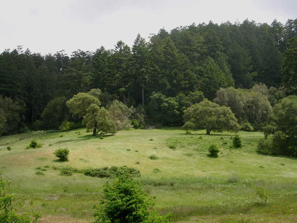
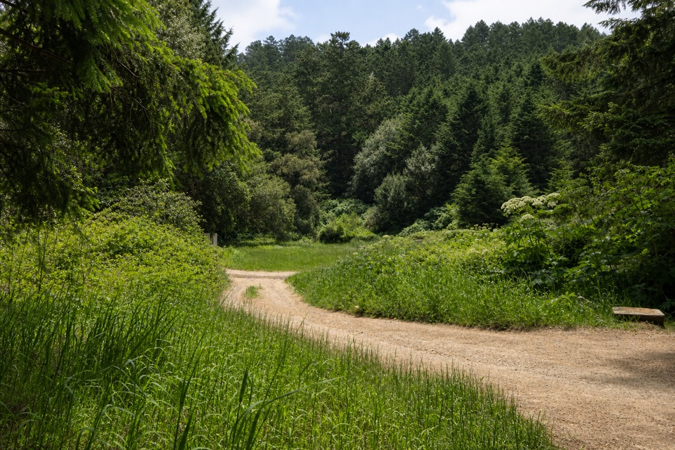
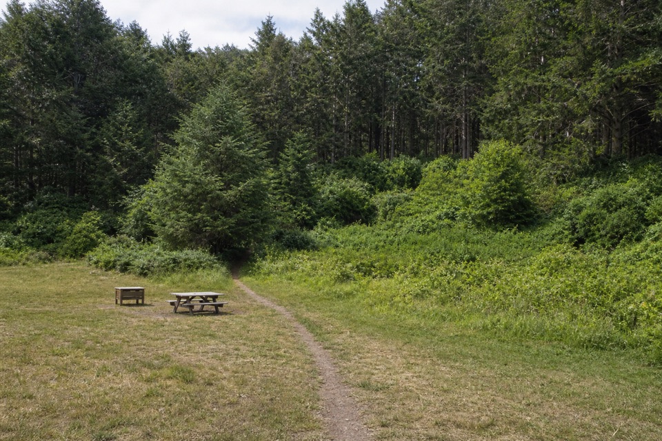
Bear Valley Trail starts broad and mostly level. After about 0.2 mile, turn right onto Mount Wittenberg Trail and settle into the main climb: about 1,130 feet over 1.8 miles. The Douglas-fir canopy stayed largely intact in the 2020 Woodward Fire, so this stretch is mostly wooded and gives few long views until you reach the ridge. At the Z Ranch junction, stay on Mount Wittenberg Trail; 0.4 mile farther west it meets Sky Trail, about 2.4 miles from the trailhead. The 0.3-mile Mount Wittenberg Summit Trail is an optional spur, but dense Douglas-firs now block the former summit views, so adding it for a panorama is a poor bet. If you would rather ease the climb, take Meadow Trail 0.8 mile from the start. Its 1.6-mile ascent gains about 840 feet and passes a broad meadow, though its views are of nearby wooded hillsides rather than a big overlook.

Sky Trail and CoastTurn left onto Sky Trail for 3.9 miles south along Inverness Ridge.

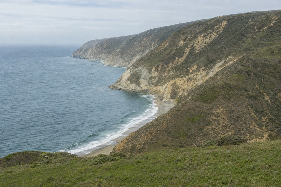
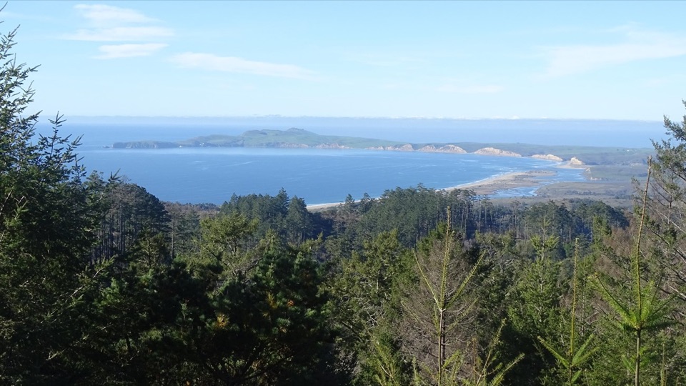
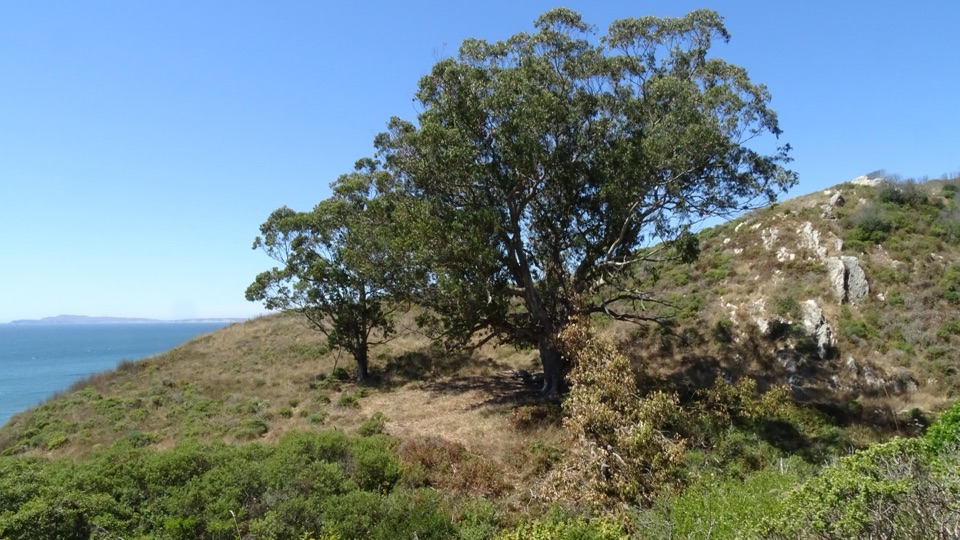
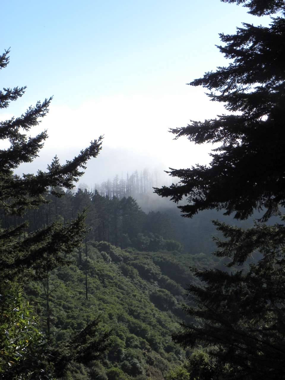
Turn left onto Sky Trail for 3.9 miles south along Inverness Ridge. The ridge was once hemmed in by huckleberry shrubs; the Woodward Fire cleared much of the brush and lower branches, leaving longer sightlines and a more open walk. Tread narrows in the wilderness section and is mostly compact dirt, with ruts, roots and exposed rocks in places. The west-facing Mount Wittenberg crest can look across the peninsula to the Pacific when skies are clear. For a photo, include a stretch of trail or a tree in the foreground to give the layered ridges scale; do not detour to the summit expecting an open panorama. At the southern junction, turn onto Coast Trail for about half a mile to Bear Valley Trail.

The gentle valley returnBear Valley Trail brings you back over a gentle four miles.

Bear Valley Trail brings you back over a gentle four miles. It first follows Coast Creek to Divide Meadow, where vault toilets are available but there is no potable water. The last 1.6 miles gradually descend along Bear Valley Creek through buckeye, oak and Douglas-fir forest. Water and restrooms are at the trailhead lot, and there are no other facilities before Divide Meadow. Day hikers need no reservation. Pets are not allowed on park trails. Winter is the wettest season; summer fog often lingers into midday, while late September through early November is usually clearer. Keep the park trail map handy: this is a circuit through several named trails, and the junction choices determine whether you complete the loop.

Wildlife

Wildlife in Point Reyes

All Point Reyes wildlife maps

Sighting maps show where each species has been reported across Point Reyes. Wildlife moves, so no sighting is guaranteed.

Keep exploring

Near Sky–Bear Valley Loop

See it all on the map

Trails that start nearby

Places near the trailhead

Parkwolf’s Point Reyes ranking

Top-rated trails in Point Reyes

All 65 trails
  1. 1Tomales Point TrailChallenging · 9.5 mi
  2. 2Alamere Falls via Palomarin and Wildcat BeachChallenging · 13.2 mi
  3. 3Chimney Rock TrailEasy · 1.8 mi
  4. 4Abbotts Lagoon TrailEasy · 2.8 mi
  5. 5Bear Valley Trail to Miller PointModerate · 9 mi
  6. 6Drakes Head via Estero TrailModerate · 8.8 mi

Take Parkwolf to Point Reyes.

The audio tour guide for the drive, plus offline maps, trails, and wildlife heatmaps for when the signal drops.

4.7 from 8,600+ ratings

Download Parkwolf on the App StoreGet Parkwolf on Google Play